|
|


|
Free camping and campgrounds |
There are several dispersed campsites Primitive Campsites PHOTO HERE PHOTO HERE PHOTO HERE We had an illegal immigrant walk into
and side roads where you can hideout.
Hardcore desert conditions not recommended
for most people. Be prepared and know
your vehicle limitations.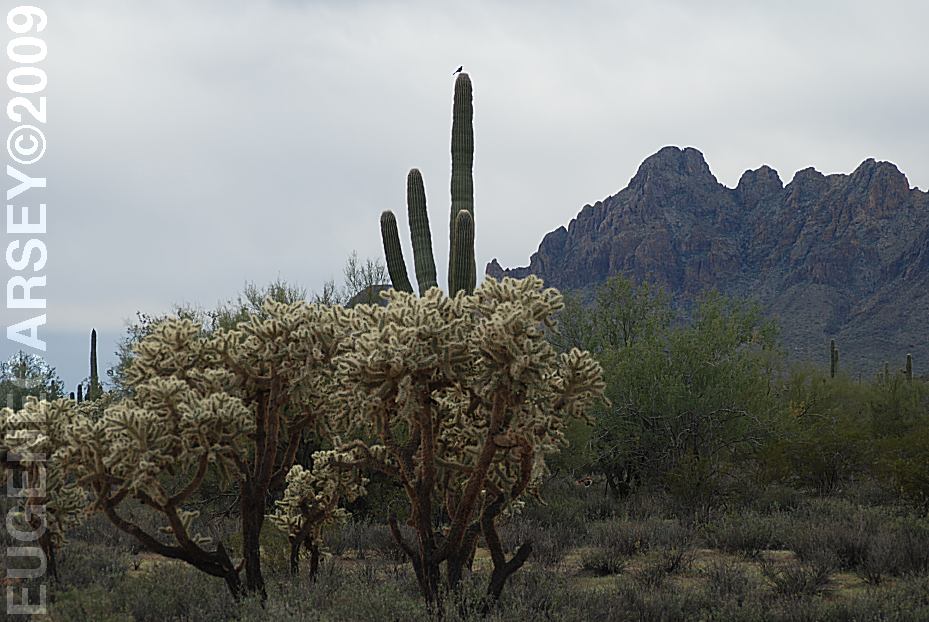
View from camp about 10 miles from Red Rock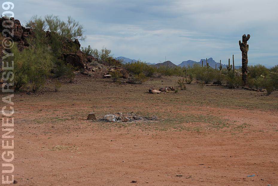
Campsite about 10 miles from Red Rock
N 32°29.852
W 111°29.951
No Facilities or Services
Pack It In, Pack It Out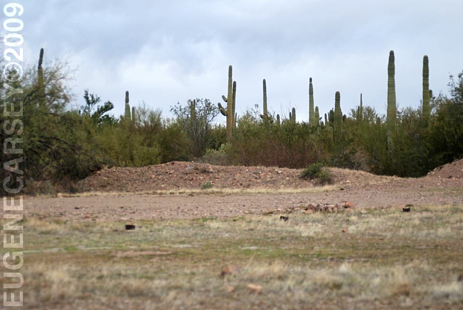
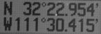
Campsite on Silverbell Road
N 32°22.697
W 111°30.043
Camp Bacon on Silverbell Road
N 32°28.224
W 111°29.376
There was an unofficial sign marking this
primitive campsite.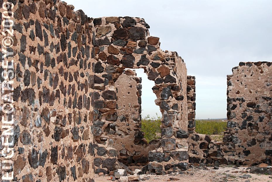
Old building on xx Road towards Red Rock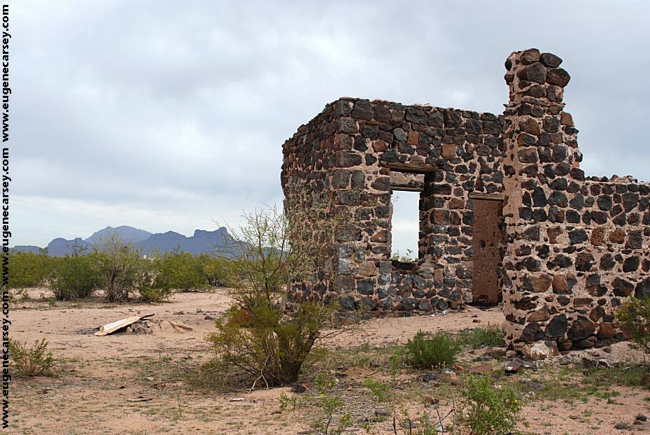
Old building on xx Road towards Red Rock
N 32°32.180
W 111°25.908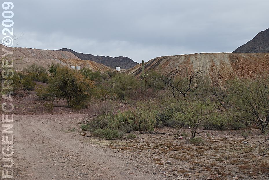
Mining operations for miles and miles.
Several mountains have been leveled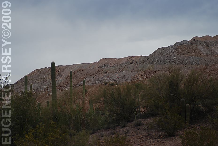
Mining operations for miles and miles.
Several mountains have been leveled.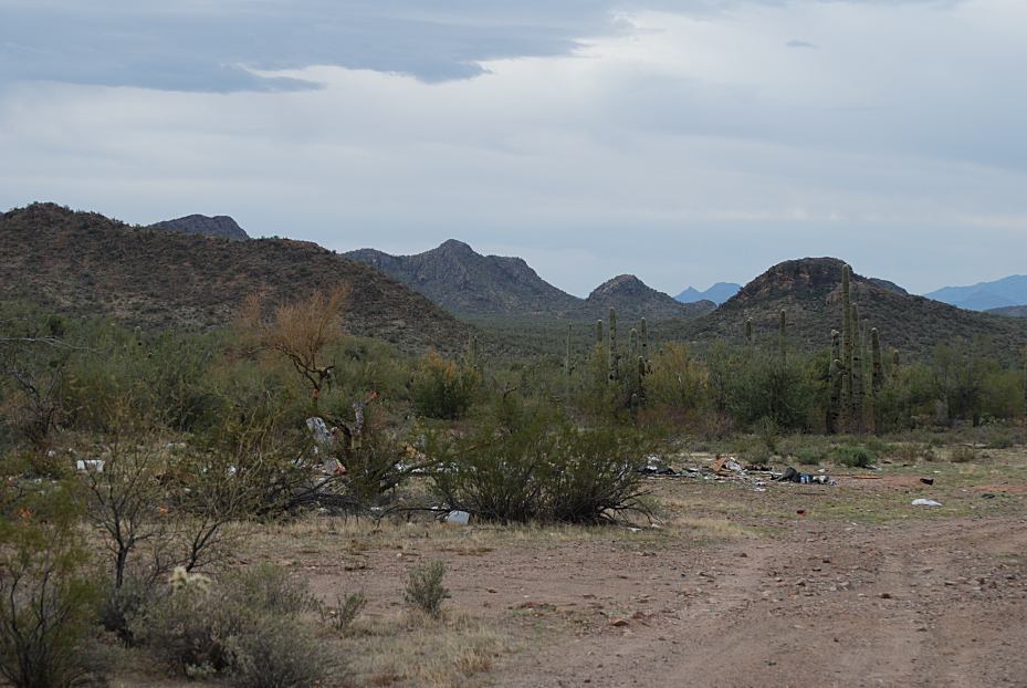
Illegal Dump Site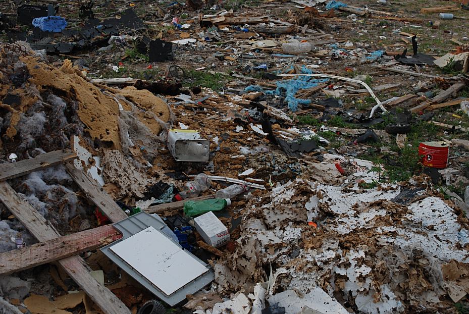
Illegal Dump Site
Looks like somebody took a machine gun
and had some fun. Bullet holes almost
every square inch.
High Intensity Enforcement Area
our campsite. As much as we don't like
involved in these situations, this guy was
desperate for water, so we gave him a
gallon of water and some food.
DIRECTIONS: From Red Rock you have to cross a river. ROAD CONDITIONS: IT IS YOUR RESPONSIBILITY TO
KNOW Also see: COCHISE
STRONGHOLD WEST RATTLESNAKE RANCH
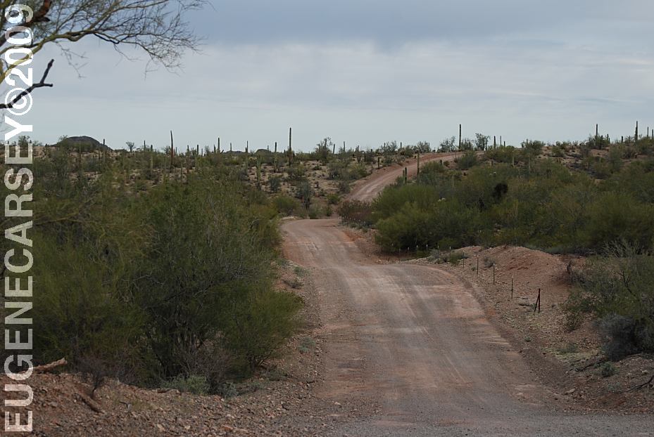
Silverbell Road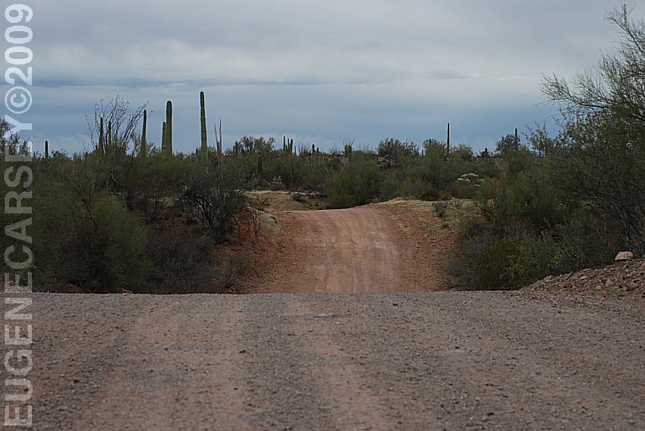
Silverbell Road
Washes are subject to flooding. This road
should be avoided during bad weather. The washes
are numerous and you could be stuck out here for
a couple days.
I-10 Exit 242 west from Tucson, AZ
xx Road for xx miles
Turn left on Silverbell Rd
High clearance and 4-Wheel Drive Recommended
Semi-maintained dirt roads are rough
with several dips and washes. Avoid
these roads during bad weather.
Passenger vehicles use caution.
RVs or trailers not recommended.
WHAT FIRE RESTRICTIONS ARE IN EFFECT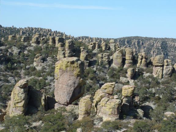
Chiricahua National Monument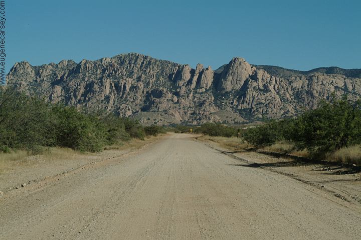
Middle March Road towards West Cochise Stronghold
Also see: CHIRICAHUA
NATIONAL MONUMENT
Also see: MESCAL
Also see: ORGAN
PIPE CACTUS
Also see: PAINTED
ROCK PETROGLYPH
Also see: TURKEY
CREEK ROAD
Also see: WHITEWATER DRAW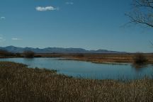
Whitewater Draw on Central Highway
Between Elfrida and Bisbee.
Rattlesnake Ranch
We expected a pit full of rattlesnakes and
some crazy person... instead we found a
museum in the middle of the desert.
CAMPGROUND INDEX Camped here March 5, 2009 dispersedcampgrounds.com
Complete free campground listing
Free campgrounds and camping
ARIZONA CAMPGROUND DIRECTORY
IRONWOOD FOREST NATIONAL MONUMENT
