|
|


|
Free camping and campgrounds |
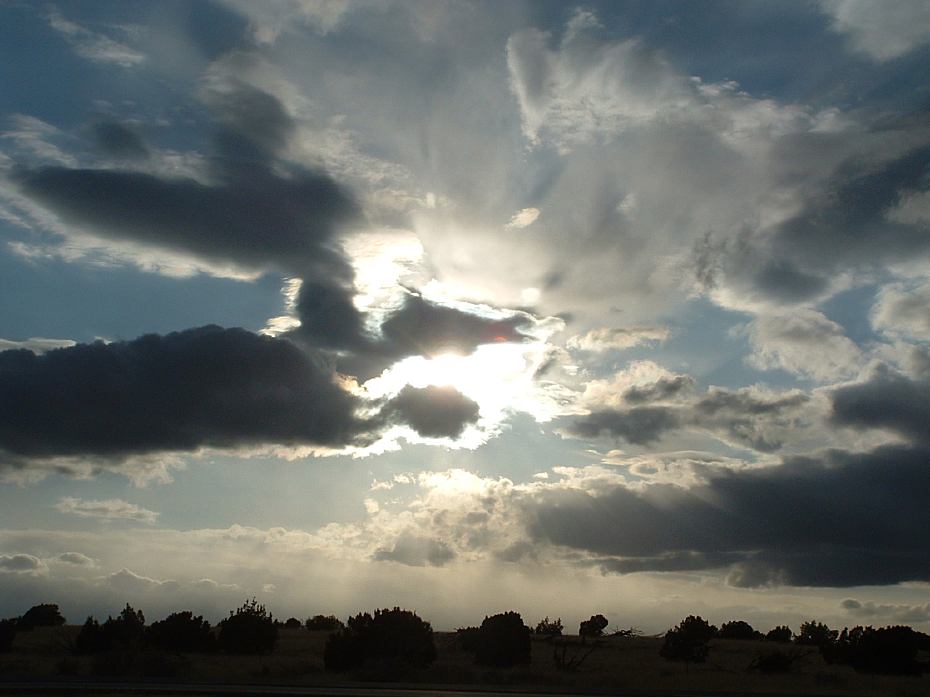
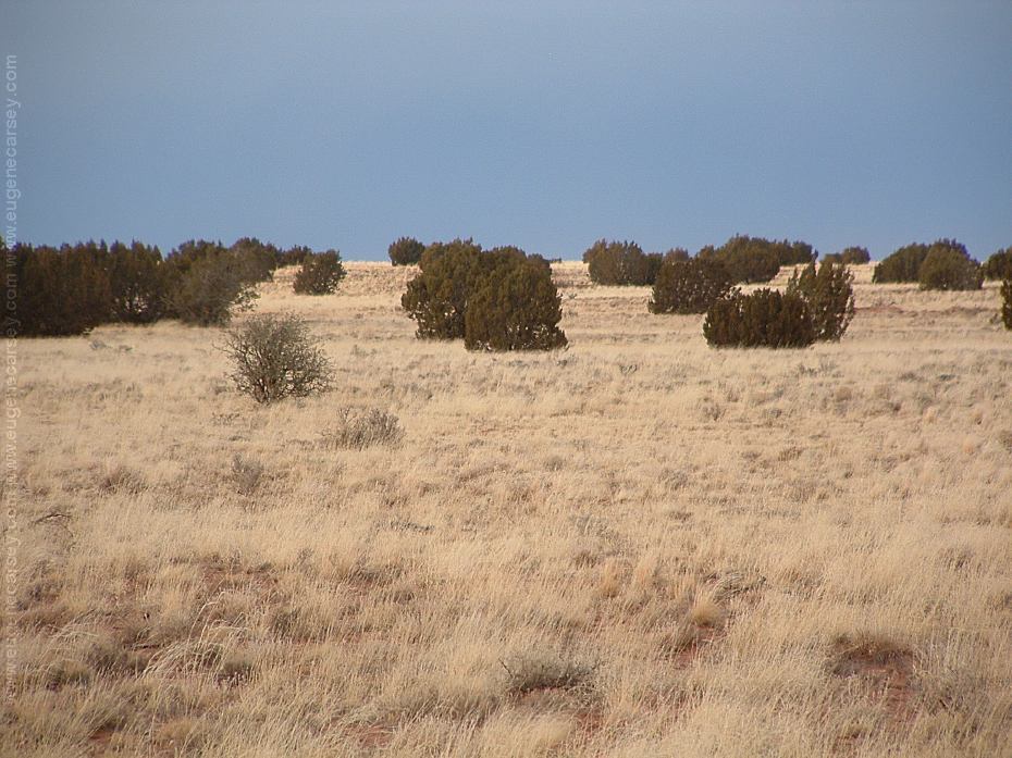
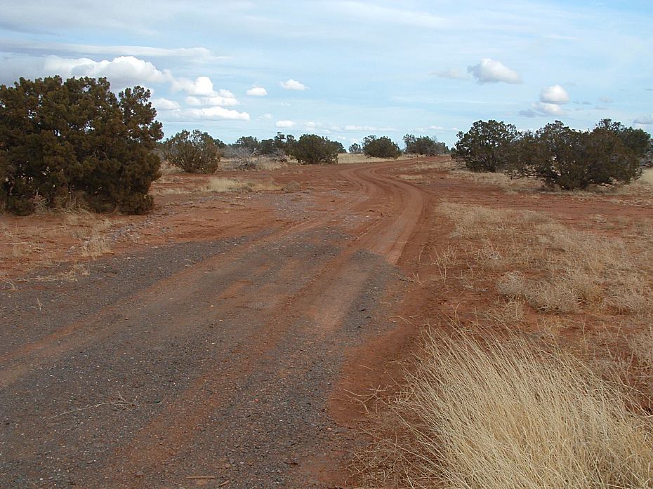
Mogollon Rim and Plateau covers a large area FS Road 616 FS Road 300 FS Road 751 / MP 295 Shovel and water required to camp,
with several good campgrounds. Mostly pine
forests with classic camping opportunities.
Elevations are around 7500' Deer and elk
are common sights. Coyotes can be heard
in the distance.
9 miles north of Strawberry.
Turning west you will pass gravel pile...
Continue about 1/4 mile
Turn north on FS Road 616
The best camp areas are 2 - 3 miles.
Pivot Rock Canyon 3 miles
Wildcat Springs 5 miles
The road loops back around to Hwy.87
Knoll Lake Rim Road
10 miles north of Strawberry
Rock Crossing C.G. 2.5 miles
Blue Ridge Reservoir 4.5 miles
Camping along roadside.
About 3/4 mile to the left is Road xx
with several good camp areas.
except at established campgrounds.
DIRECTIONS:
North from Payson
South from Winslow
|
We camped here April 28, 2006 Also see: MOGOLLON / HWY 260
CAMPGROUND INDEX
dispersedcampgrounds.com |