|
|


|
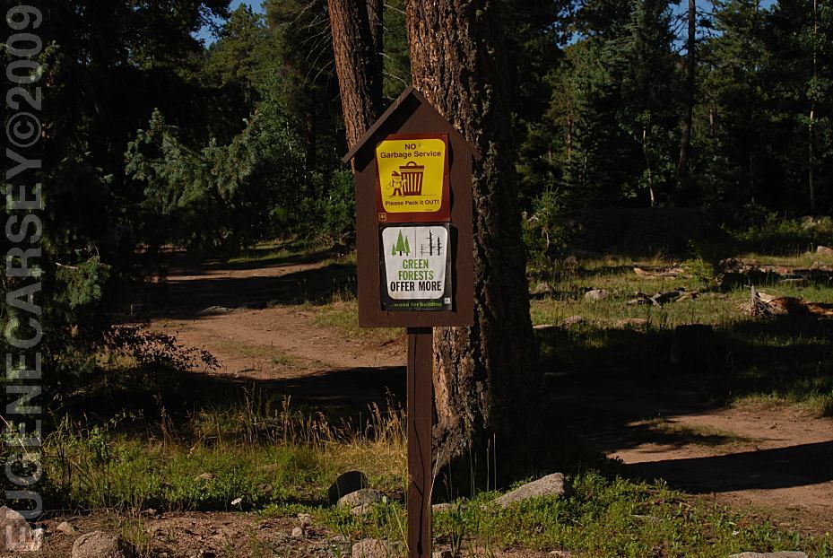
Free campgrounds and camping |
There are dispersed campsites almost every
road. Can get crowded on summer weekends. Shovel, ax and water required
for dispersed camping. CLEAR CREEK CAMPGROUND (Fee Area) There are dispersed camp areas on Hwy.126
Dispersed Campsite Road 70
LATITUDE: N 36°01.456
LONGITUDE: W 106°50.425
xx miles north of Hwy 126
This was our campsite...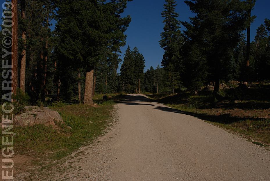
Road 70
Viewed from above dispersed campsite.
We have seen hundreds of other campers,
almost every space was taken.
A fire extinguisher and leather gloves recommended.
Hwy.126 about 11 miles east from Cuba, NM
LATITUDE: N 35°59.757
LONGITUDE: W 106°49.606
(GPS from Parking Area on other side of Hwy.126)
RIO DE LAS VACAS CAMPGROUND (Fee Area)
Hwy.126 about 12 miles east from Cuba, NM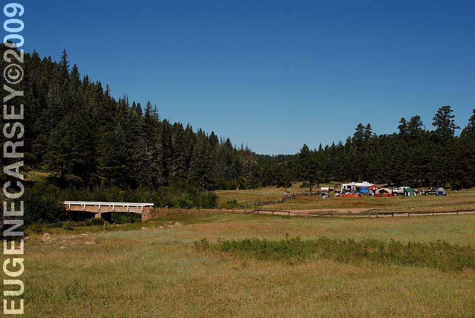
Dispersed Camp on Hwy.126 / MP13
Most campsites are occupied on summer weekends
and Road 103, but are more limited.
DIRECTIONS: ROAD CONDITIONS: Road 70 connects Hwy.126 and Road 103 From the south... Know the weather forecast and be prepared.
From Cuba, NM
Take Hwy.126 about 10 miles
Turn towards San Gregorio Lake
Dispersed camps about every 1/4 mile
Hwy.126 is paved from Cuba, NM
Mountain grades and curves
Forest roads are dirt and gravel surfaces
Roads may be impassable in bad weather
Not plowed of snow in winter months
Most vehicles possible in good weather
RVs use your own discretion
Good brakes required.
and is xx miles in length.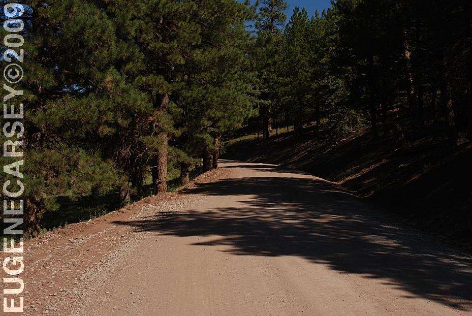
Hwy.26 south
Hwy.126 is dirt surface with some sandy areas.
Passenger cars can navigate through, but there
is always a risk of getting stuck. 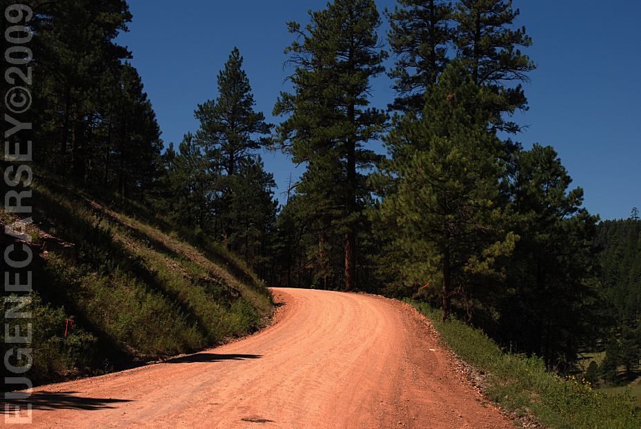
Hwy.126 at junction of Road 103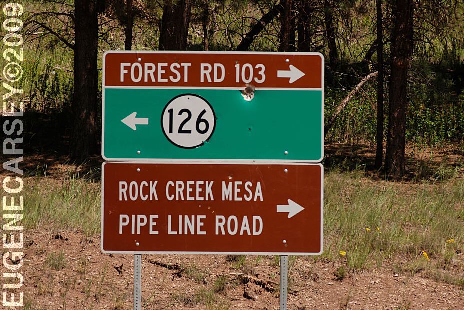
Hwy.126 at junction of Road 103
Extreme winter conditions possible...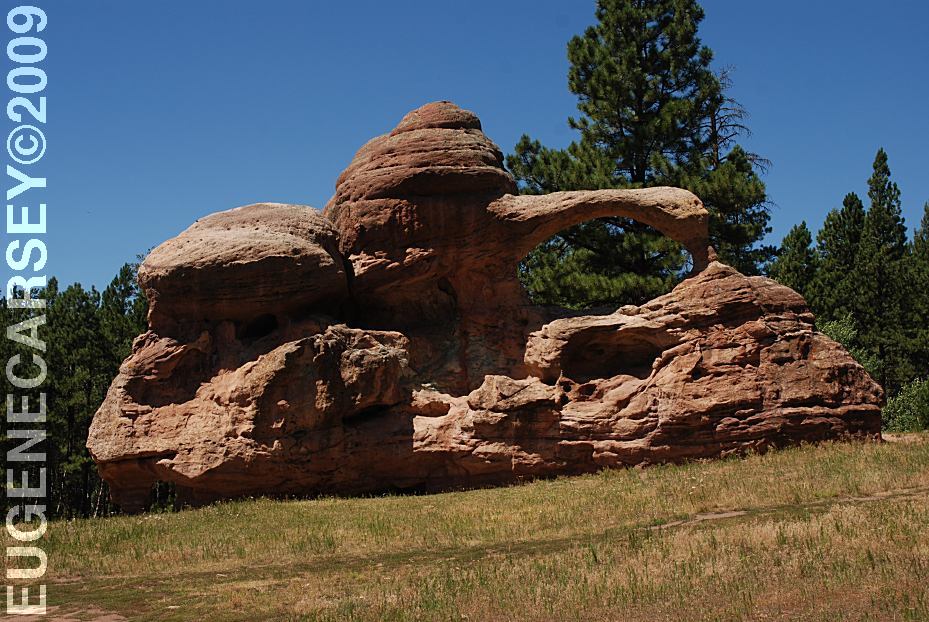
Natural arches on Road 103
LATITUDE: N 36°02.852
LONGITUDE: W 106°41.330
A couple miles north from junction of Road 70
Rattlesnake Skin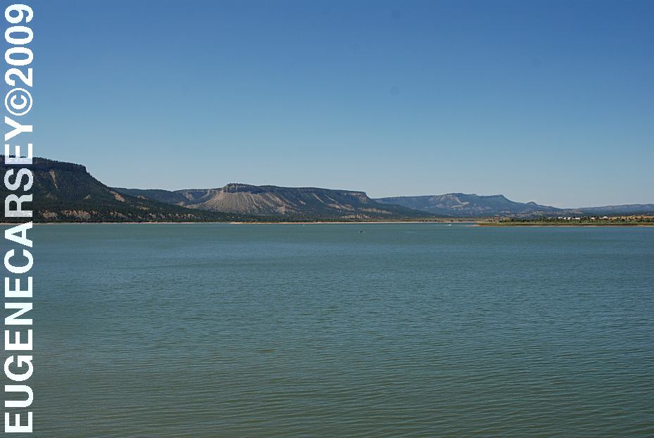
xx Lake
Road 15??? xx miles north???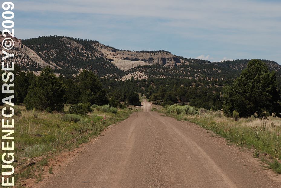
Bill Knight Gap
Road 19 North from Prewitt, NM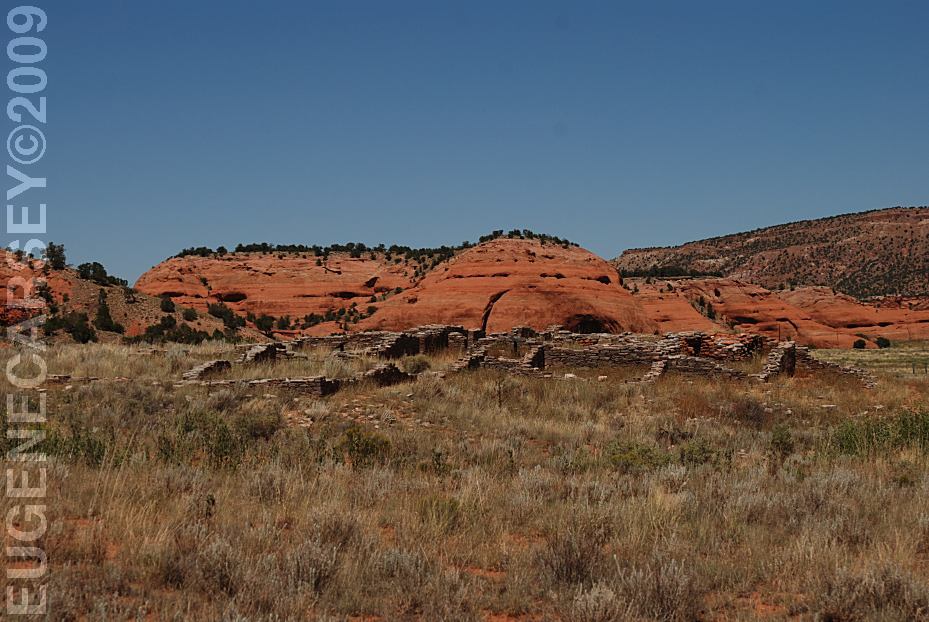
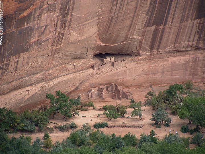
Casamero Pueblo Archaeological Site
Road 19 North from Prewitt, NM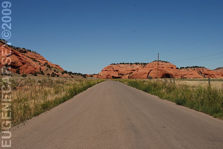
Road 19 North from Prewitt, NM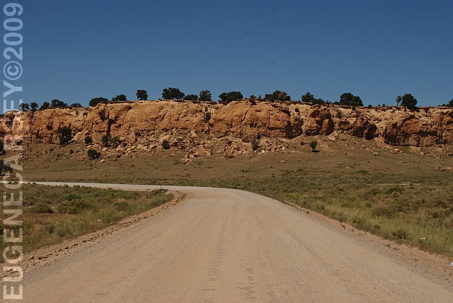
Road 19 North from Prewitt, NM
|
Also see: BISTI WILDERNESS
CAMPGROUND INDEX Camped here August 8, 2009
dispersedcampgrounds.com |