|
|


|
Free campgrounds and camping
It is getting harder to find free campgrounds, |
|
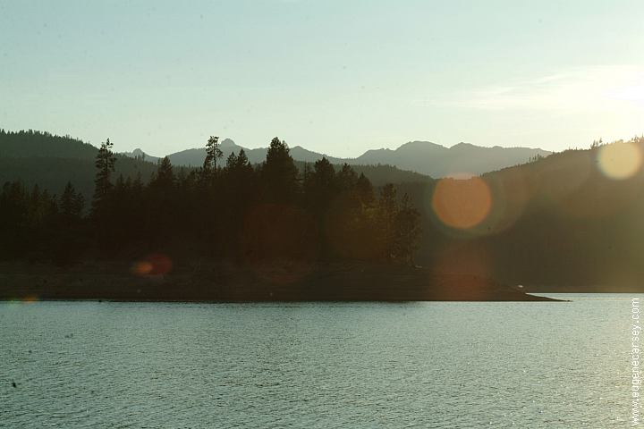
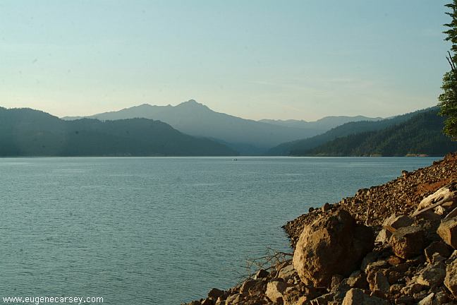
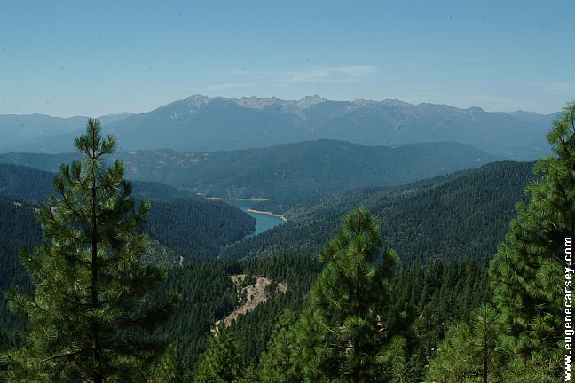
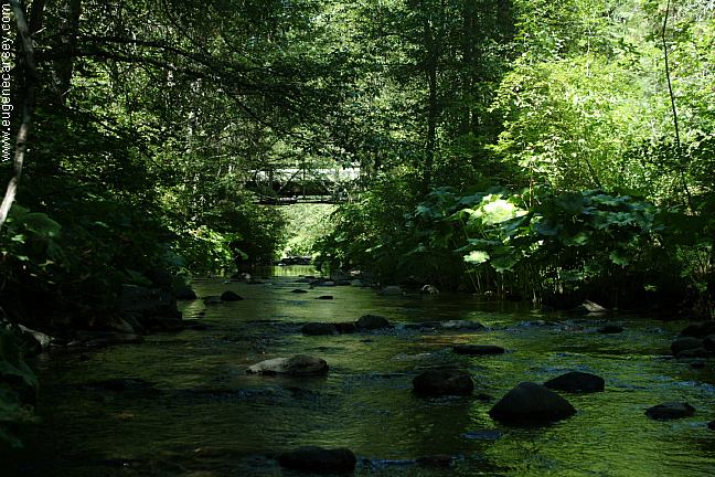
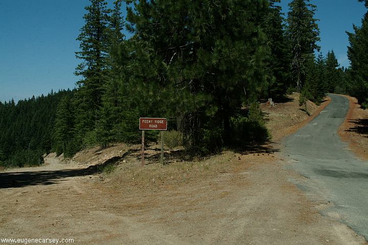
Road#106 includes some incredible views
CLEAR CREEK CAMPGROUND
JACKASS SPRINGS CAMPGROUND ROAD#36N27 DISPERSED CAMPING Distances from Jct. of Highway 299 and Road#106 Trinity Lake 20 miles There are some dispersed camping areas on
Road#106
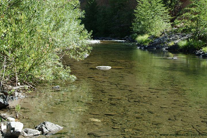
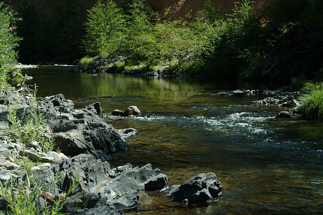
Apx. 16 miles from Hwy.299, is a camping
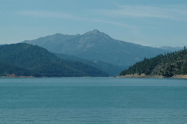
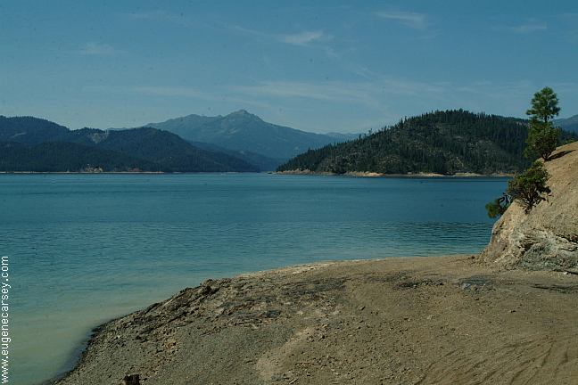
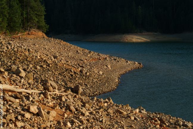
Water levels can fluctuate greatly on a daily
basis. Campfire Permits Required Camping Limited to 14 Days There are several "Boat Access Only"
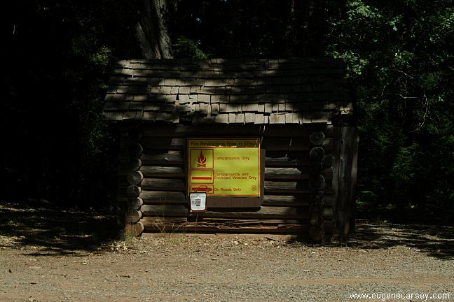
campgrounds. ESTABLISHED CAMPGROUNDS There used to be several small towns in the IT IS YOUR RESPONSIBILITY TO
KNOW BEAR FACTS |
DIRECTIONS: Snow not removed 7 miles past French Gulch
From Redding, CA
Take Highway 299 west
Turn north towards French Gulch
Continue past French Gulch on Road#106
Turn on Road#119 to Jackass Springs
From Weaverville
Take Highway 299 east
Turn north towards French Gulch
Continue past French Gulch on Road#106
Turn on Road#119 to Jackass Spring
From Coffee Creek
Take Highway 3 south
Turn on Road#106 (Near Carrville Pond)
Turn on Road#119 to Jackass Spring
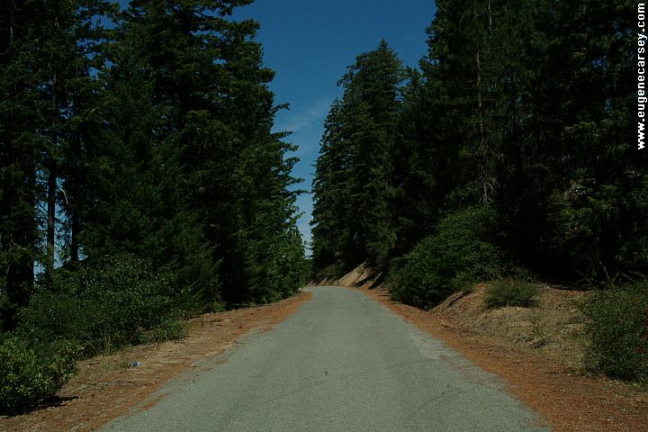
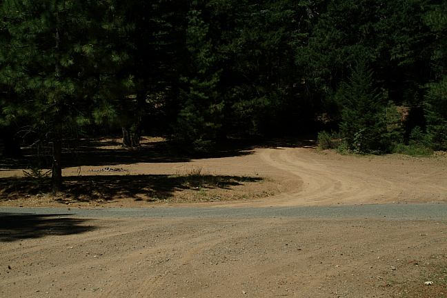
NOTE: Most roads are unmarked...
Mile 20-21 Road#106
Weaverville Ranger Station Also see: HIGHWAY 3 / COFFEE
CREEK
CAMPGROUND INDEX
dispersedcampgrounds.com
210 W. Main Street
Weaverville, CA 96093
Also see: HIGHWAY
3 / HORSE FLAT
Also see: SHASTA
LAKE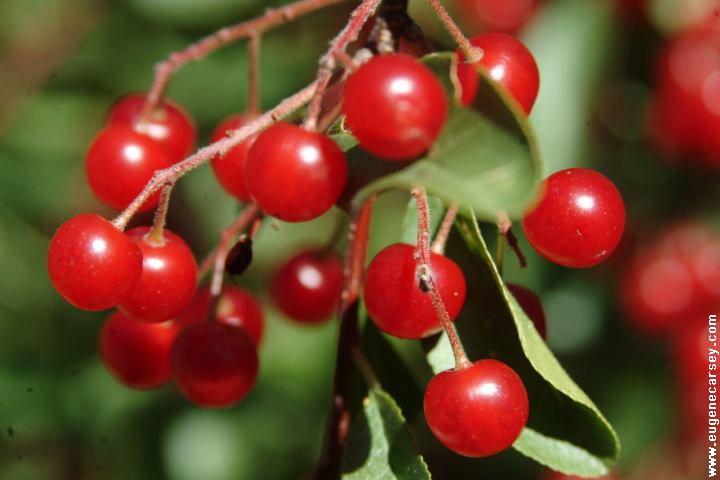
Red Berries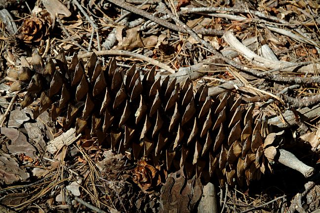
Sugar Pine Cone
Complete free campground listing
Free campgrounds and camping
CALIFORNIA CAMPGROUND DIRECTORY
SHASTA-TRINITY NATIONAL FOREST
TRINITY LAKE
JACKASS SPRINGS CAMPGROUND
CLEAR CREEK CAMPGROUND
