|
CALIFORNIA GHOST TOWNS
|
|
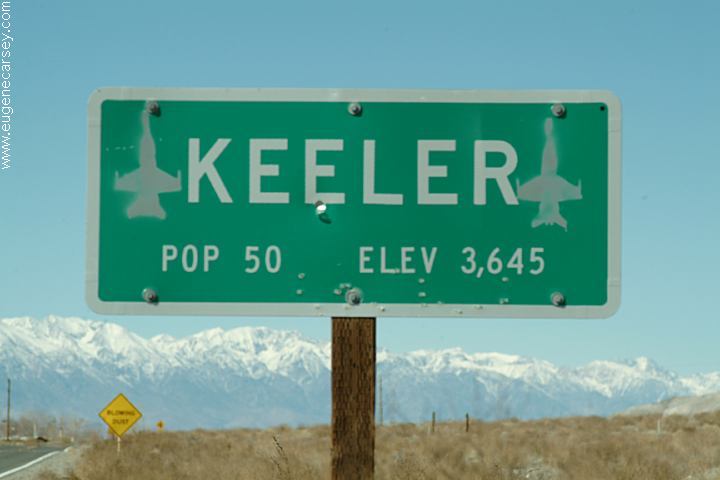
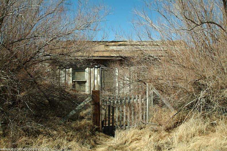
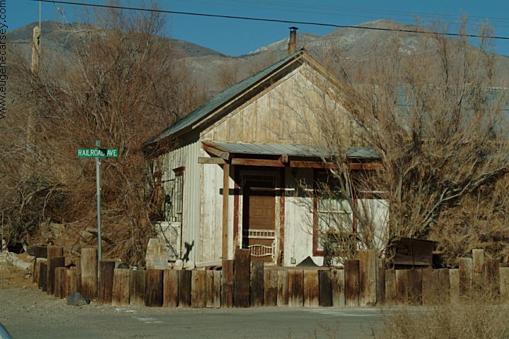
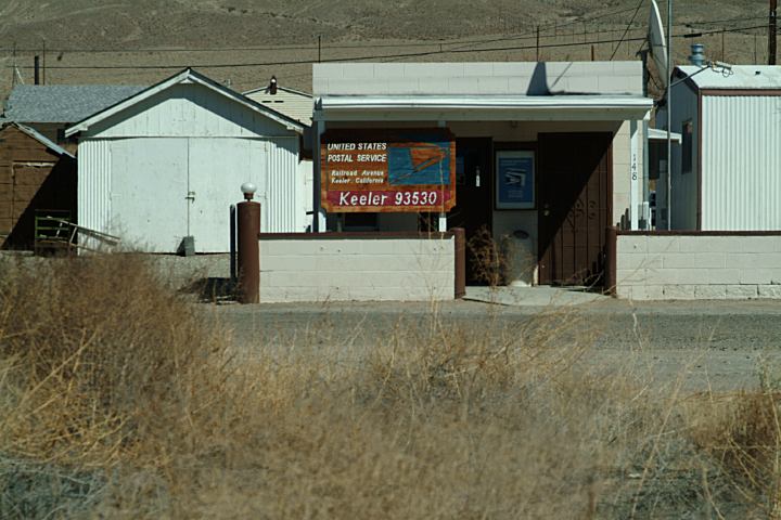
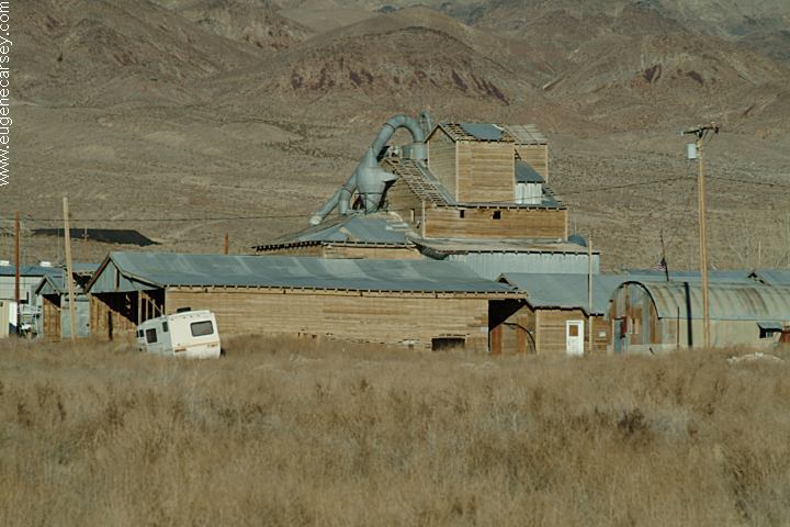
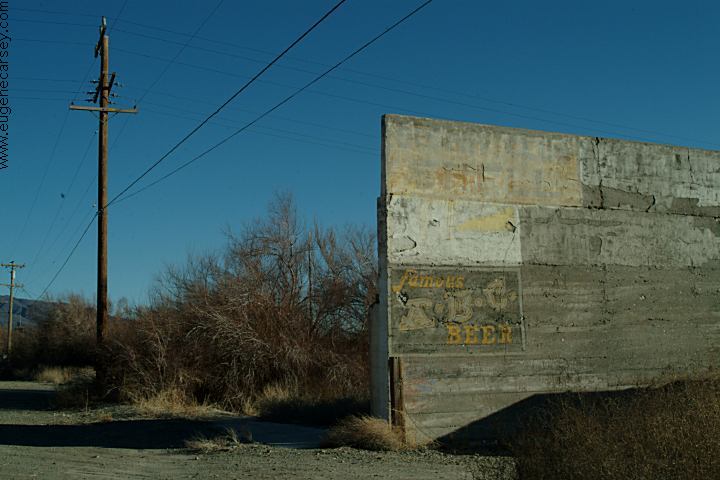
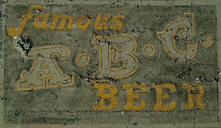
Located on Hwy.136
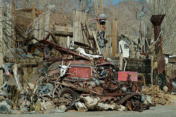
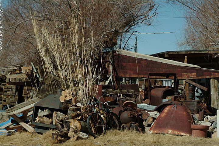
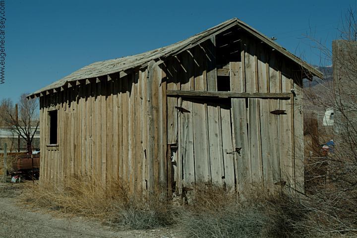
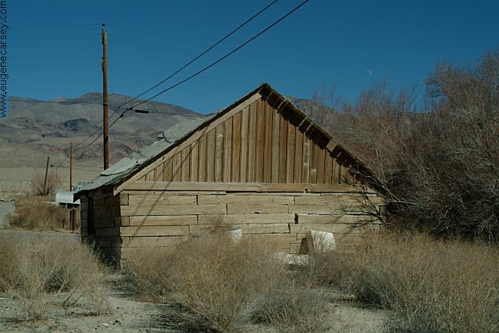
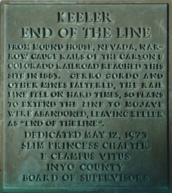
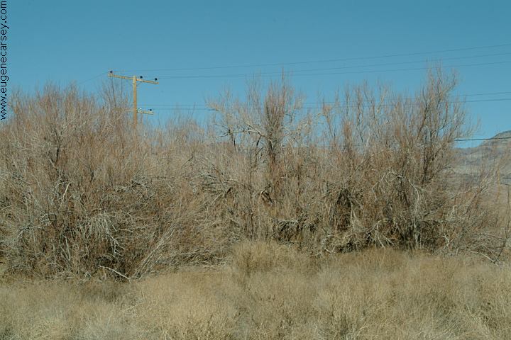
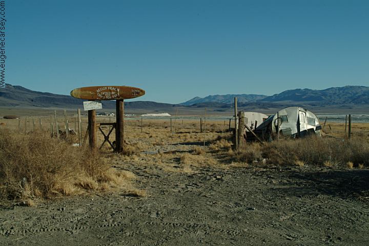
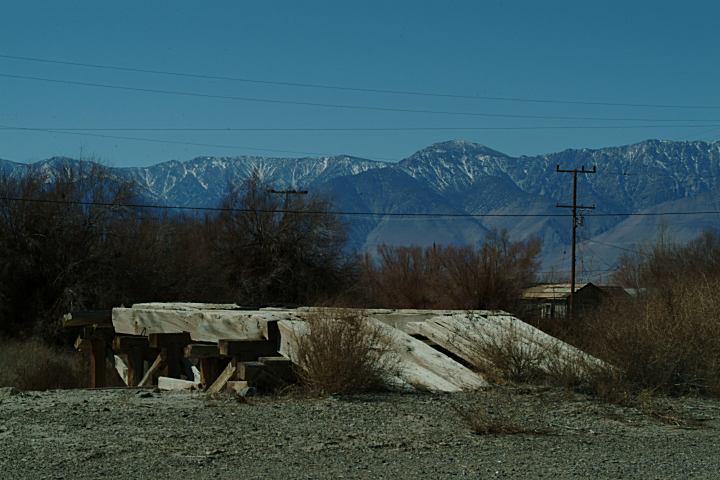
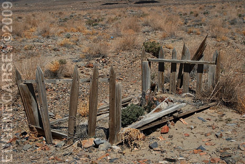
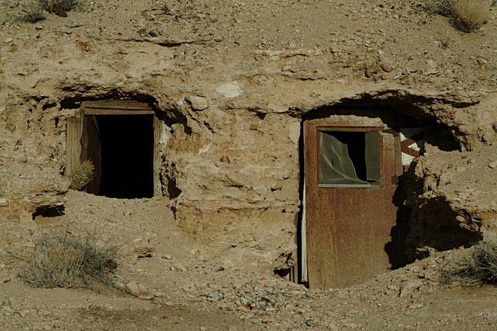
The town is mostly abondoned buildings from...
|
|
|
|
|

|
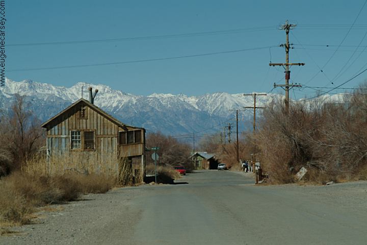
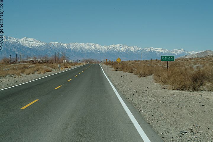
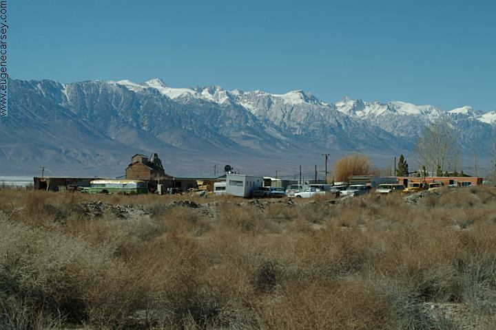
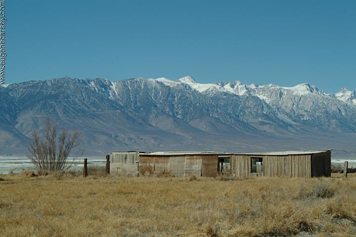
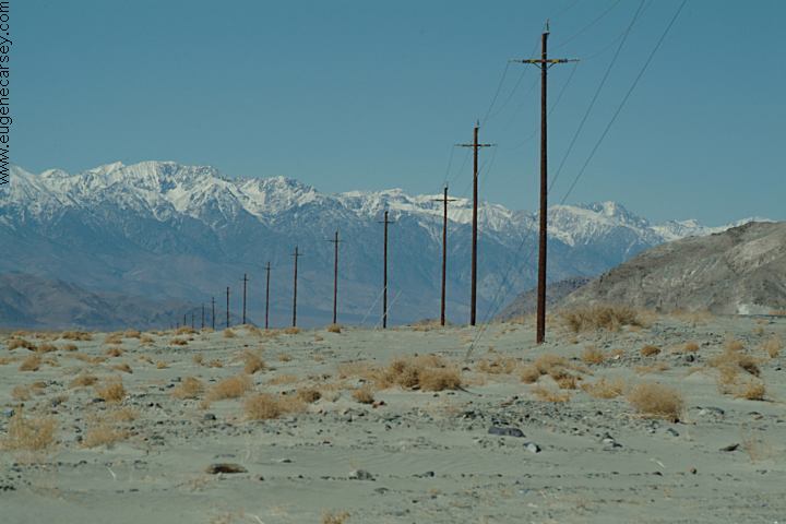
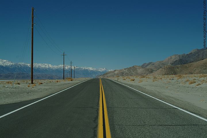
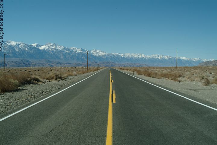
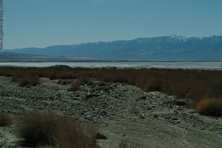
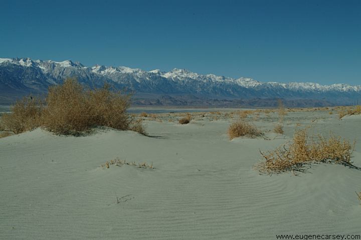
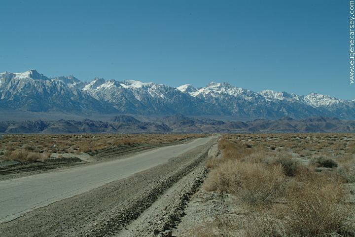
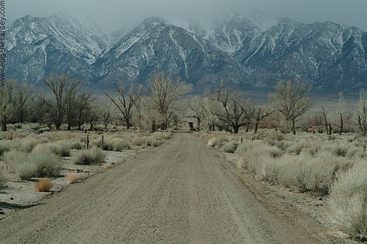
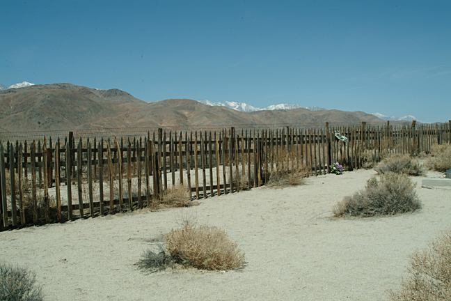
Views of the Sierra Nevada Mountains.
HISTORY: Will Rogers said this about the aqueduct in
1930: |
|
DIRECTIONS: MILAGE CHART:
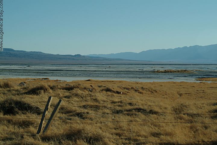
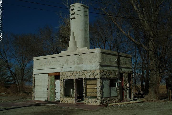
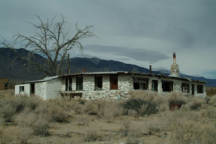
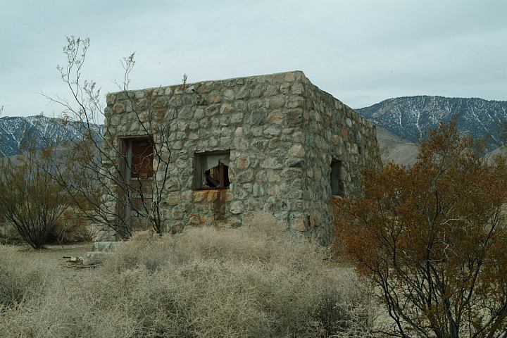
DARWIN, CALIFORNIA SWANSEA GHOST TOWN
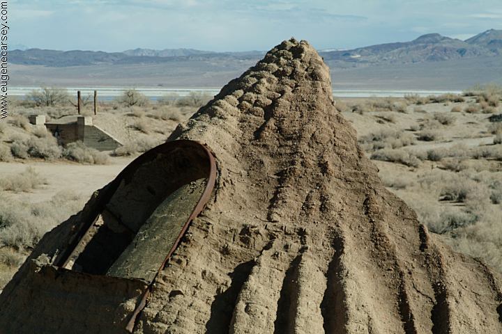
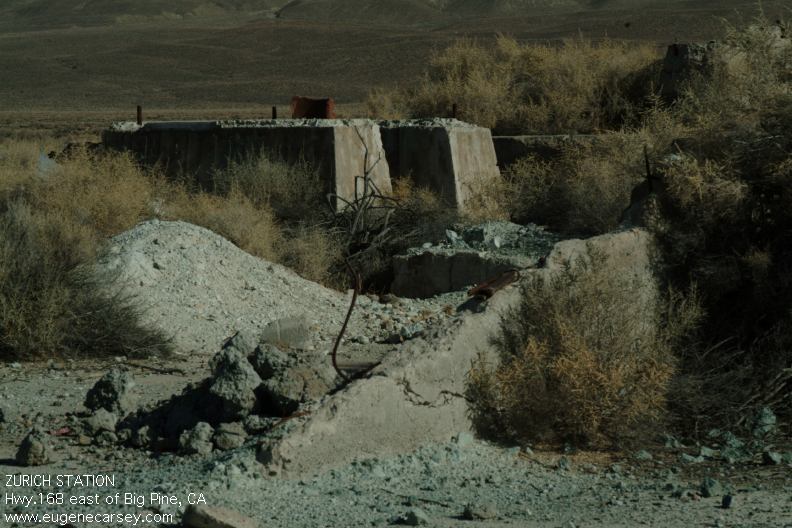
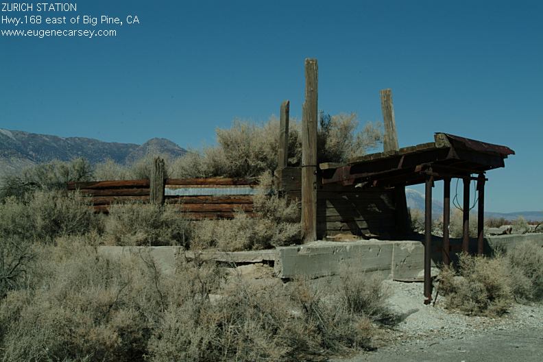
COTTONWOOD CHARCOAL KILNS
MANZANAR NATIONAL HISTORIC SITE
|
ARCHES
OF ALABAMA HILLS MORE PHOTOS OF ALABAMA HILLS DEATH VALLEY NATIONAL PARK HIGHWAY 395 CALIFORNIA CAMPGROUNDS IN
THE USA TOURIST
PHOTOS GHOST TOWNS
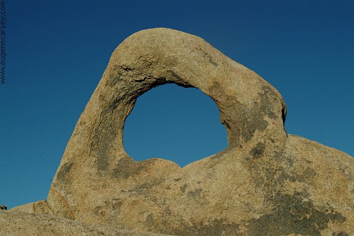
Arch Off Whitney Portal Road
Alabama Hills Recreation Area
There are hundreds of natural arches throughout
the Alabama Hills with a fantastic panorama
views of the Sierra Nevada Mountains.
About 15 miles west from Keeler...
Photos included on the free Campground
Directory for Alabama Hills Recreation Area.
Photos and information about Death Valley.
Includes free Campground Directory.
Photos from along Hwy.395
Old buildings and incredible landscapes.
Free campgrounds in the USA
Tourist photos of the USA
By Eugene and first established in 2003
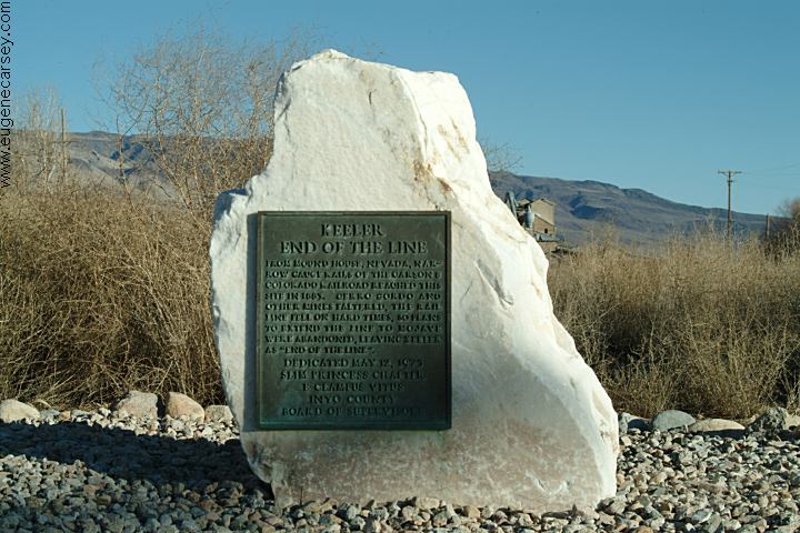
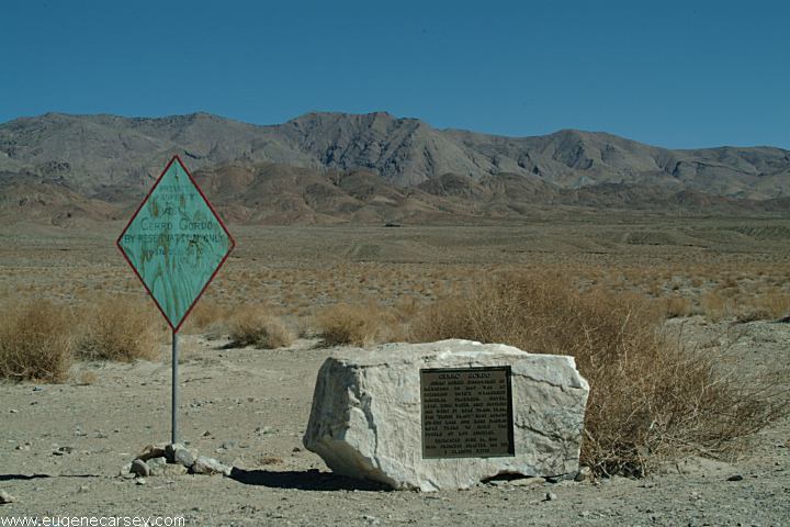
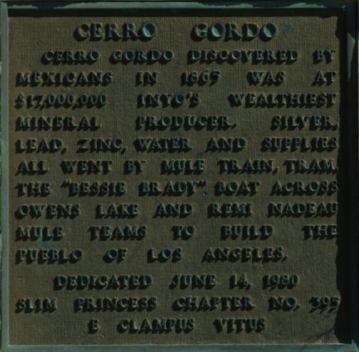
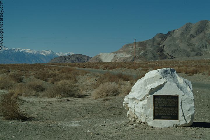
KEELER, CALIFORNIA
