|
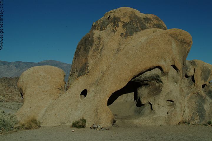
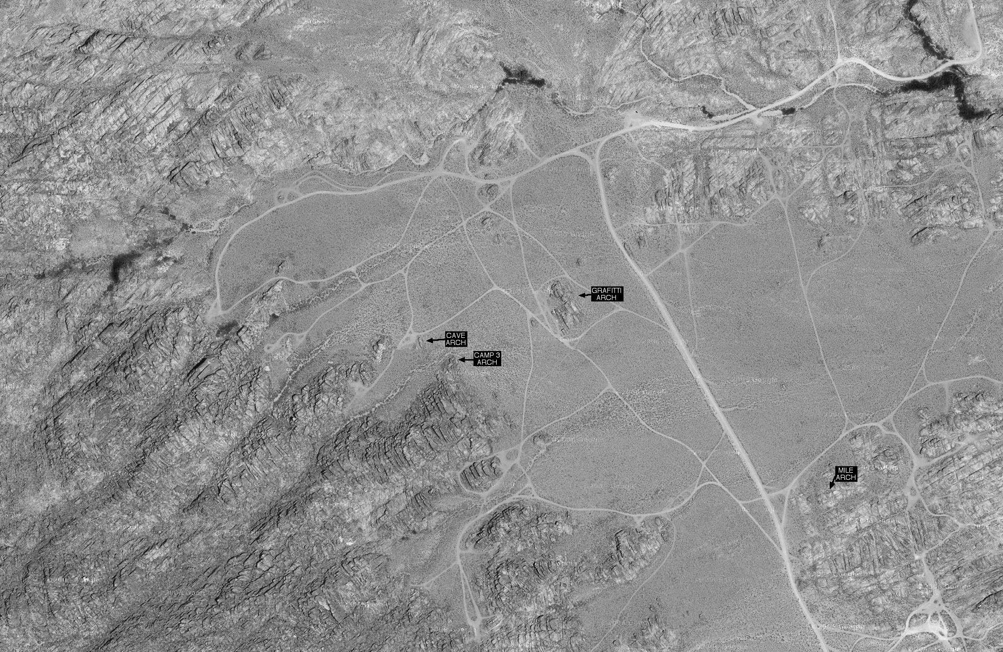
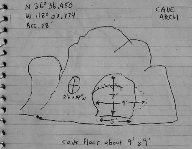
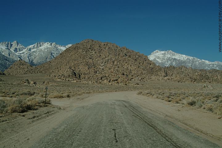
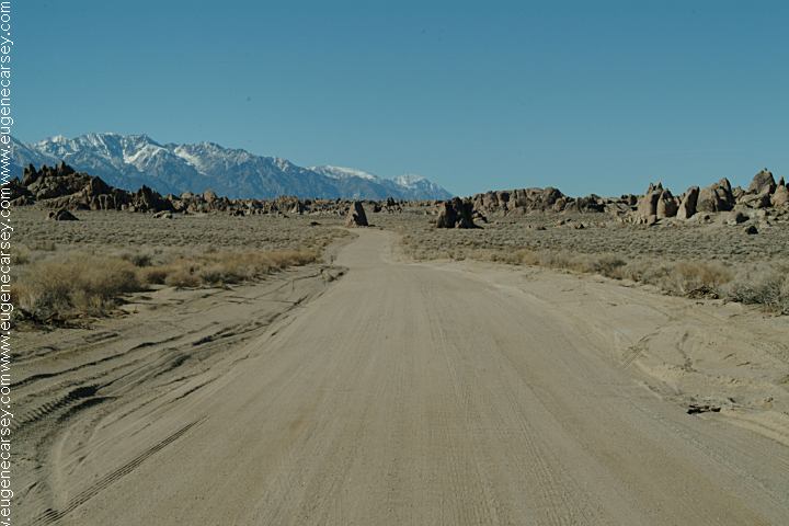
ARCHES OF ALABAMA HILLS UTM COORDINATES: |
|
Reading the Tourist Guide, you would think ROCK FORMATIONS and LANDMARKS DIRECTIONS: ROAD CONDITIONS
MAP MEASUREMENTS OF ARCH:
|
|
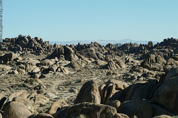
ARCHES OF ALABAMA
HILLS
Alabama Hills were named in the 1860's during MOVIES FILMED IN
ALABAMA HILLS MOVIE
LOCATIONS IN ALABAMA HILLS INDIAN
GRINDING STONES AND MORTARS |
|
|
|
MORE PHOTOS OF
ALABAMA HILLS DEATH
VALLEY NATIONAL PARK
KEELER,
CALIFORNIA CAMPGROUNDS IN THE
USA
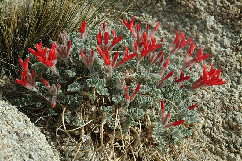
WILDFLOWERS OF
ALABAMA HILLS California Tourist Guide and Destinations |