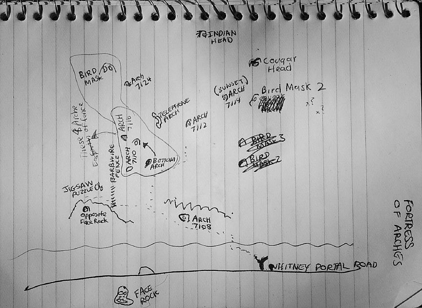
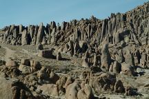
ARCHES OF ALABAMA HILLS
ALABAMA HILLS RECREATION AREA
California Tourist Guide and Destinations
"OPPOSITE FACE ROCK ARCH"

UTM COORDINATES:
UTM Coordinates is official name of arch
LATITUDE: N 36°35.671
LONGITUDE: W 118°05.939
ACCURACY: 15'
ELEVATION:
DIMENSIONS: 2'W x 14"H
See detailed measurements below

FORTRESS OF ARCHES
There are over 20 natural arches located
within the Fortress of Arches. West from
the Face Rock on Whitney Portal Road.

Opposite Face Rock Arch

Opposite Face Rock Arch

This arch is located on the opposite side
of the road from Face Rock.

Opposite Face Rock Arch Views
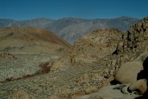
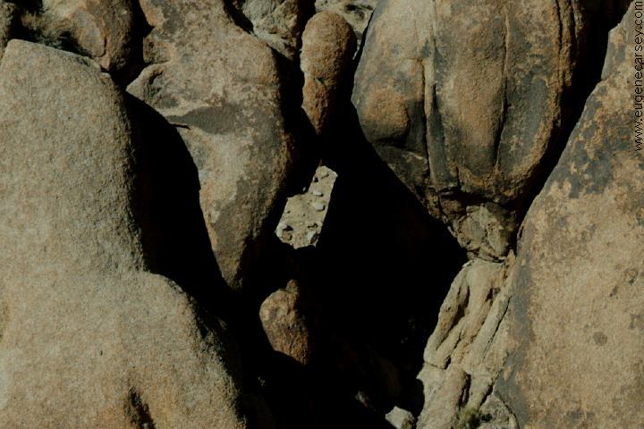
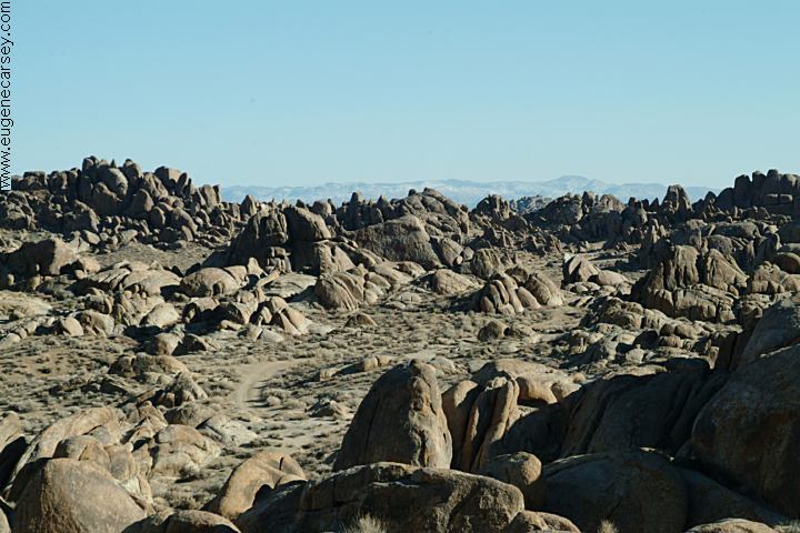
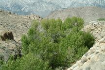
View from Opposite Face Rock Arch
(East towards Lone Pine, CA)

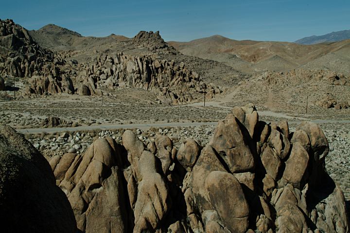
ROCK FORMATIONS and LANDMARKS
Landmarks to help locate Opposite Face Rock Arch...

Opposite Face Rock Arch
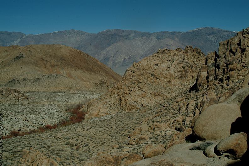
Views from Opposite Face Rock Arch
(Looking towards the north)

DIRECTIONS:
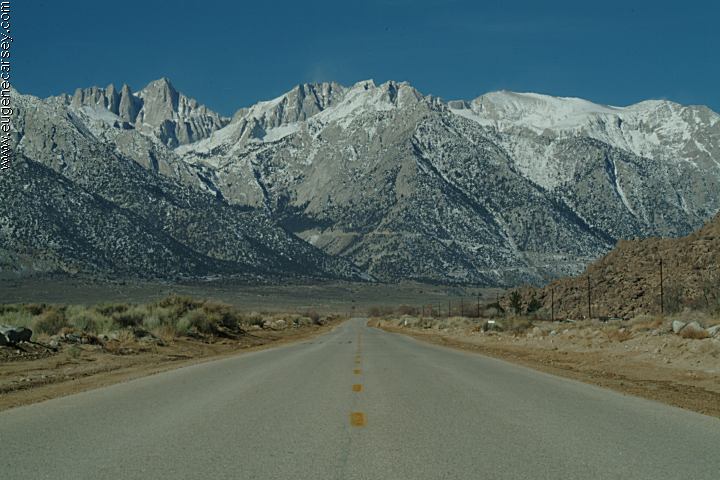
From Lone Pine, CA / Hwy.395
(At the only stop light in town)
Turn west on Whitney Portal Road
About 2 miles park opposite Face Rock.
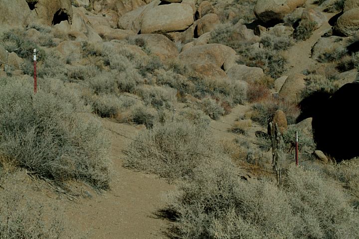
Find a trail across Lone Pine Creek
Walk eastbound and follow the trail
Climb through the fence and arch is
a short distance on your left side.


From the parking area, you have to find
a path across Lone Pine Creek. Then walk
eastbound ...

Fence Across the Trail
There is a fence crossing the trail...

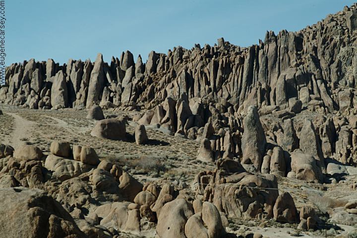
Fortress of Arches can be accessed just west
from Indian Head Arch. There is a narrow slot
canyon. Most of the trails down into the Fortress
of Arches are difficult to locate.

ROAD CONDITIONS
Whitney Portal Road is paved.
Movie Flat Road is a maintained
dirt surface with washboards.
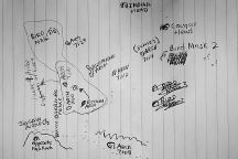
MAP
Map of Alabama Hills Arches

PHOTO HERE
Satellite Image of Opposite Face Rock Arch

Fortress of Arches Map
Fortress of Arches

MEASUREMENTS OF ARCH:
Arches measured at the smallest opening

PHOTO HERE (MEASUREMENTS)
Detailed Measurements for Opposite Face Rock Arch
Grid measurements available in future release

ARCHES OF ALABAMA HILLS
There are hundreds of natural arches throughout
Alabama Hills Recreation Area.
The best way to
find arches is by walking around the rock formations.
The arches blend in with the surrounding rocks.

Alabama Hills Recreation Area

Alabama Hills were named in the 1860's during
the Civil War by Southern sympathizers in honor
of the Confederate warship CSS Alabama. The
Alabama Hills Recreation Area was dedicated
in 1969 by Bureau of Land Management and
encompasses almost 30,000 acres.

MOVIES FILMED IN ALABAMA HILLS
Several movies have been filmed in this area,
including Gunga Din, The Lone Ranger, ect...

Whitney Portal Road
Whitney Portal Road

MOVIE LOCATIONS IN ALABAMA HILLS
Locations of movies filmed in the Alabama Hills.
Locations have been matched with images from
the movie. Directions to help find the locations.
Included are GPS coordinates and satellite photos.

INDIAN GRINDING STONES AND MORTARS
You can find several Indian Mortars in the Alabama
Hills and surrounding area.

MORE PHOTOS OF ALABAMA HILLS
Photos included on the free campground
directory for Alabama Hills Recreation Area.

DEATH VALLEY NATIONAL PARK
Photos and information about Death Valley.
Includes free Campground Directory.
Death Valley National Park is about
50 miles east from Lone Pine, CA

Old house in Keeler California
Old house in Keeler, CA

KEELER, CALIFORNIA
Photos from Keeler.
Located on Hwy.136
13 miles east from Lone Pine, CA
What a bizarre town... a complete subculture.
Included under the listing for Ghost Towns.

TOURIST PHOTOS

CAMPGROUNDS IN THE USA
Free campgrounds in the USA

ARCHES OF ALABAMA HILLS

Flowers at Alabama Hills
Flowers at Alabama Hills Recreation Area
March 10, 2007

WILDFLOWERS OF ALABAMA HILLS
A photo collection of wildflowers from
the Alabama Hills Recreation Area.

Copyright Notice
www.eugenecarsey.com

California Tourist Guide and Destinations
Things to do and see in California
ALABAMA HILLS RECREATION AREA
NATURAL ARCHES AND WINDOWS
OPPOSIT FACE ROCK ARCH