|
ARCHES OF ALABAMA HILLS UTM COORDINATES: |
|
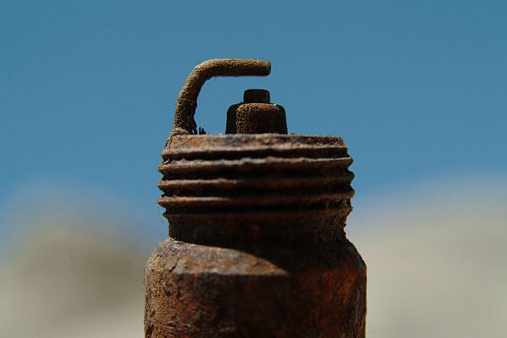
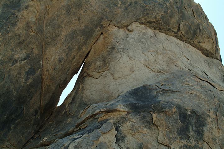
Shaped like a giant spark plug...
Finding this spark plug on the ground
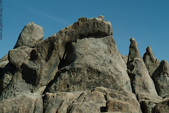
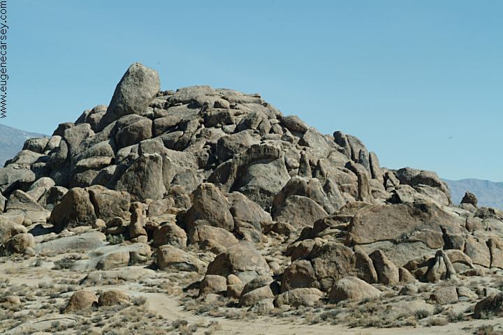
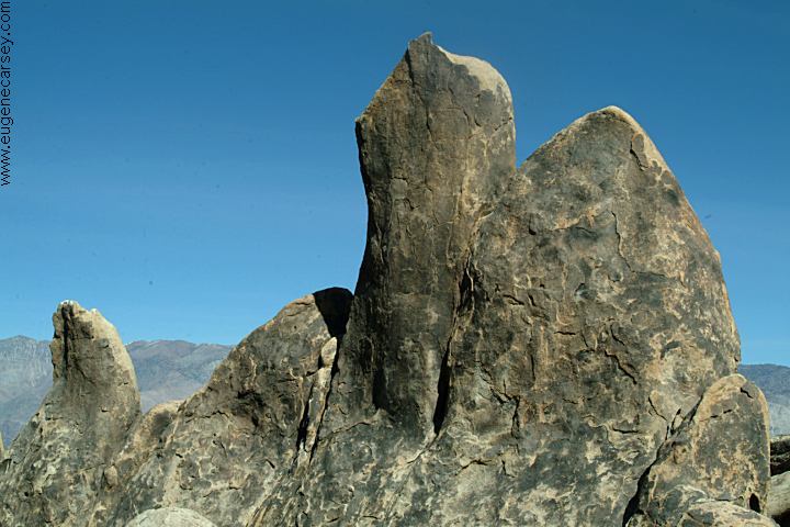
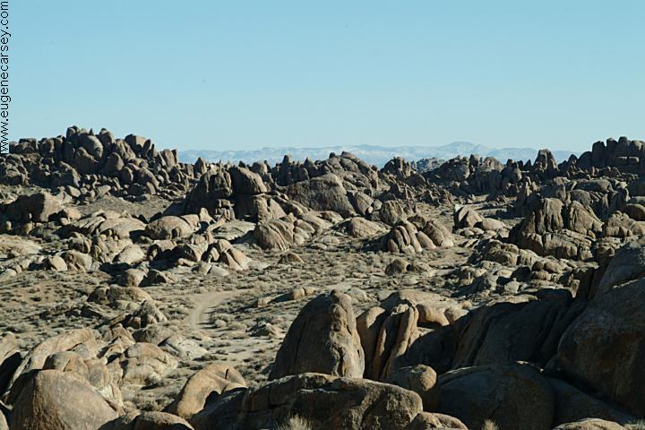
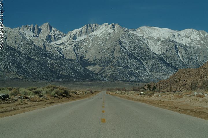
ROCK FORMATIONS and LANDMARKS
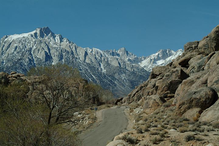
DIRECTIONS:
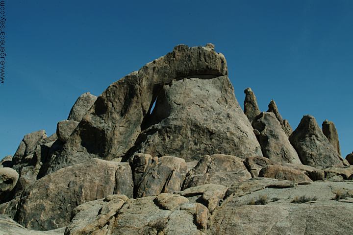
ROAD CONDITIONS MAP PHOTO HERE MEASUREMENTS OF ARCH: PHOTO HERE |
|
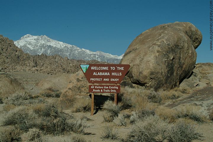
ARCHES OF ALABAMA
HILLS
Alabama Hills were named in the 1860's during MOVIES FILMED IN
ALABAMA HILLS MOVIE
LOCATIONS IN ALABAMA HILLS INDIAN
GRINDING STONES AND MORTARS |
|
|
MORE PHOTOS OF
ALABAMA HILLS DEATH
VALLEY NATIONAL PARK KEELER,
CALIFORNIA CAMPGROUNDS IN THE
USA WILDFLOWERS OF
ALABAMA HILLS California Tourist Guide and Destinations
Photos included on the free campground
directory for Alabama Hills Recreation Area.
Photos and information about Death Valley.
Includes free Campground Directory.
Death Valley National Park is about
50 miles east from Lone Pine, CA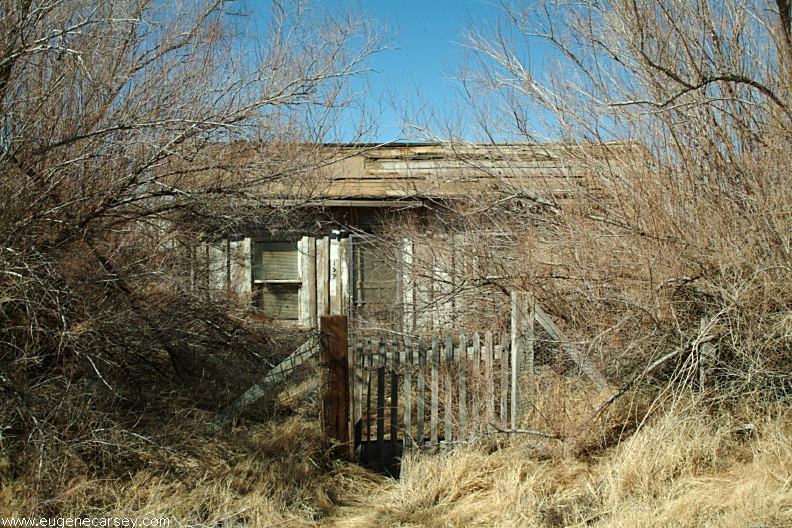
Old house in Keeler, CA
Photos from Keeler.
Located on Hwy.136
13 miles east from Lone Pine, CA
What a bizarre town... a complete subculture.
Included under the listing for Ghost Towns.
Free campgrounds in the USA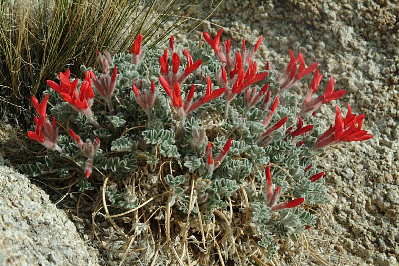
Flowers at Alabama Hills Recreation Area
March 10, 2007
A photo collection of wildflowers from
the Alabama Hills Recreation Area.
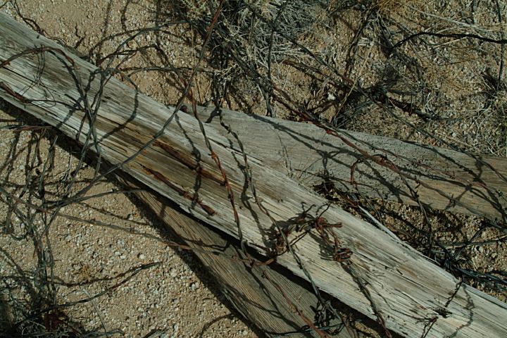
Old Barbwire Fence near Spark Plug Arch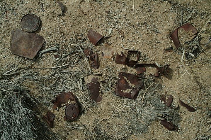
Old Trash near Spark Plug Arch
Things to do and see in California
ALABAMA HILLS RECREATION AREA
NATURAL ARCHES AND WINDOWS
SPARK PLUG ARCH
