|
DIRECTIONS:
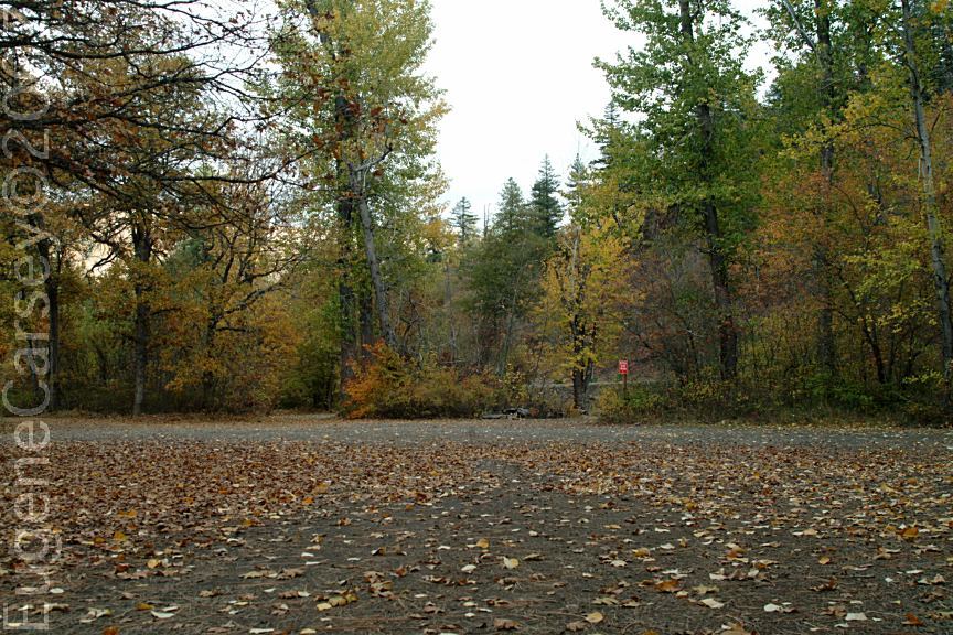
From Goldendale, WA / Hwy.97
Take Hwy.142 west towards Glenwood.
From Glenwood go east towards Goldendale.
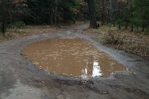
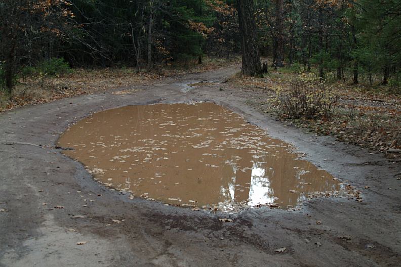
Big puddles after a rainfall
ROAD CONDITIONS:
The main Highway is paved
Spur roads are dirt surface that could be
subject to flood conditions with big puddles
and mud. Not recommended for RVs except
at the campgrounds.
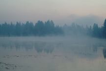
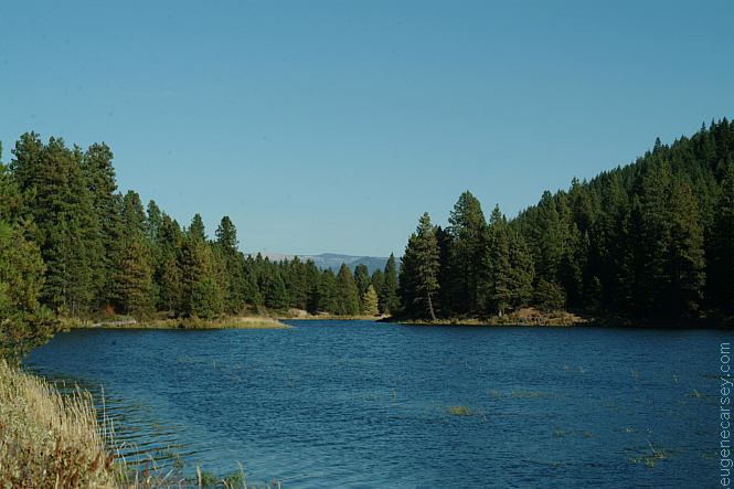
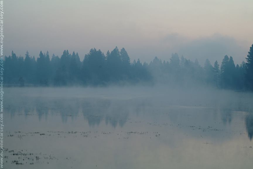
xx Lake with early morning mist is kind of spooky
4 miles east from Glenwood, WA
If you take Hwy.142 towards Klickitat
there are some camp areas along the
Klickitat River.
Also see: 29 PINES CAMPGROUND
Also see: AVERY
PARK
Also see: CLIFFS
PARK
Also see: FRENCH
GLEN
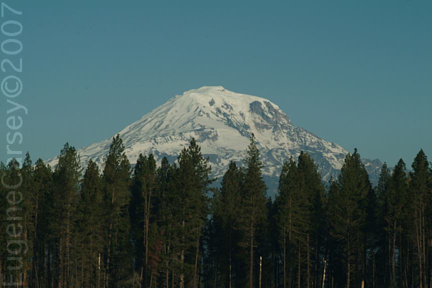
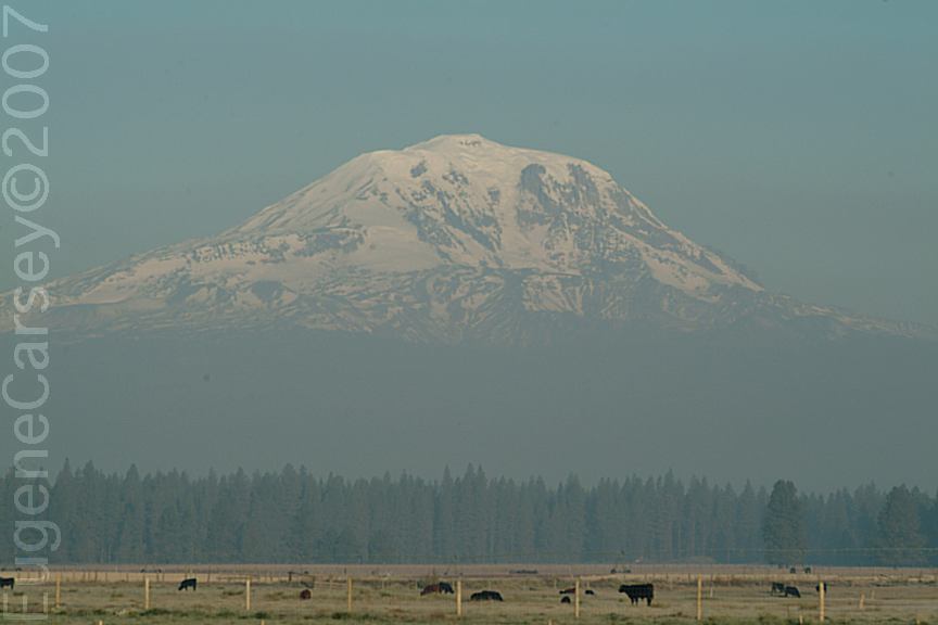
Also see: MOUNT
SAINT HELENS
Also see: ROCK CREEK BOAT RAMP
Also see: RUFUS
LANDING
Also see: SUNDALE
PARK
Also see: TEANAWAY
CAMPGROUND
Also see: WILLIAMS
CAMPGROUND
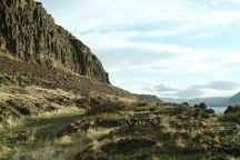
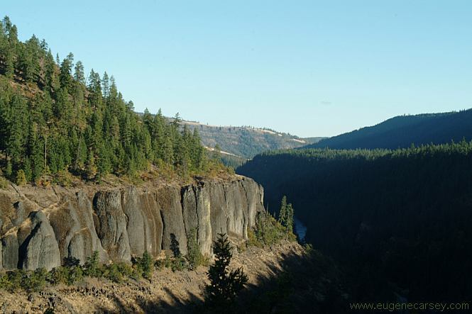
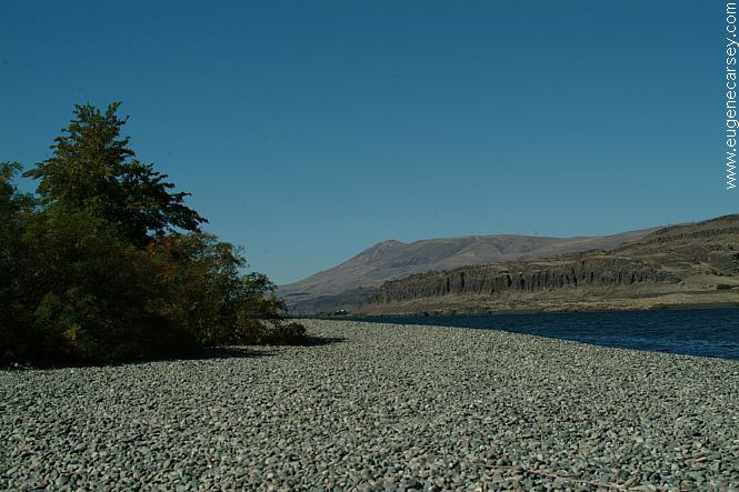
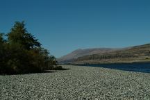
Columbia River from Cliffs Park
CLIFFS
PARK
LATITUDE: N 45°42.819
LONGITUDE: W 120°42.718
West on Hwy.14 at the John Day Dam
Road follows the Columbia River for several
miles with dispersed campsites. Incredible
scenery...
Columbia River Gorge from Rufus Landing
On the Oregon side of the Columbia River
Opposite side of river from Cliffs Park
RUFUS
LANDING
LATITUDE: N 45°41.593
LONGITUDE: W 120°45.288
Dispersed and primitive camping on the
Oregon side of the Columbia River
opposite of Cliffs Park.
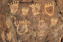
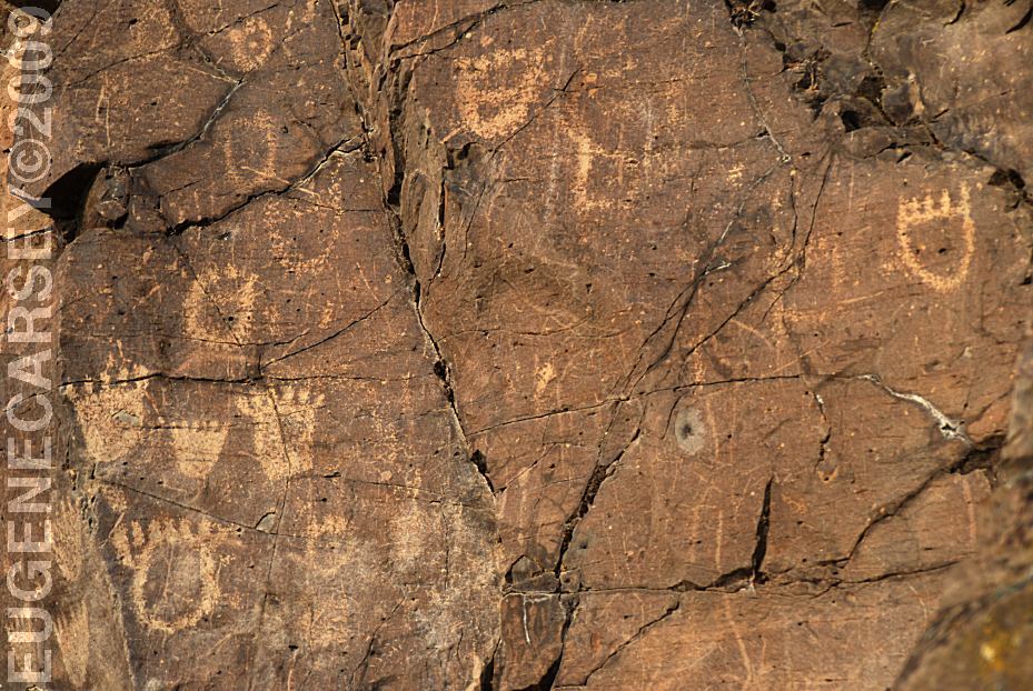
John Day Dam Petroglyphs
Indian Petroglyphs at Cliffs Park
JOHN
DAY DAM PETROGLYPHS
LATITUDE: N 45°42.981
LONGITUDE: W 120°42.272
From the fishing platform nearest to
John Day Dam walk along the river
towards the lock. The petroglyphs
are on the cliff face. There are Bear
Paws and other symbols.
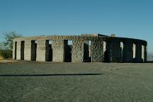
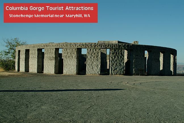
Stonehenge Memorial near Maryhill, WA.
STONEHENGE
MEMORIAL
LATITUDE: N 45°41.660
LONGITUDE: W 120°48.380
Hwy.14 east from Maryhill, WA
Stonehenge Memorial is a replica of
the Stonehenge Monument in England...
Built by Samuel Hill as a memorial to
Klickitat County soldiers who lost their
lives in World War One. Construction
was completed in 1929.
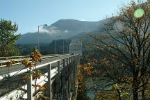
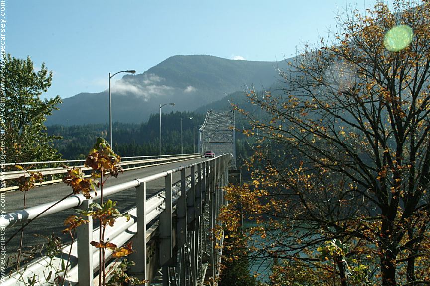
Bridge of the Gods
Columbia River west from Stevenson, WA
CAMPGROUND INDEX
Complete free campground listing
CAMPING ADVICE AND TIPS
TOURIST
PHOTOS

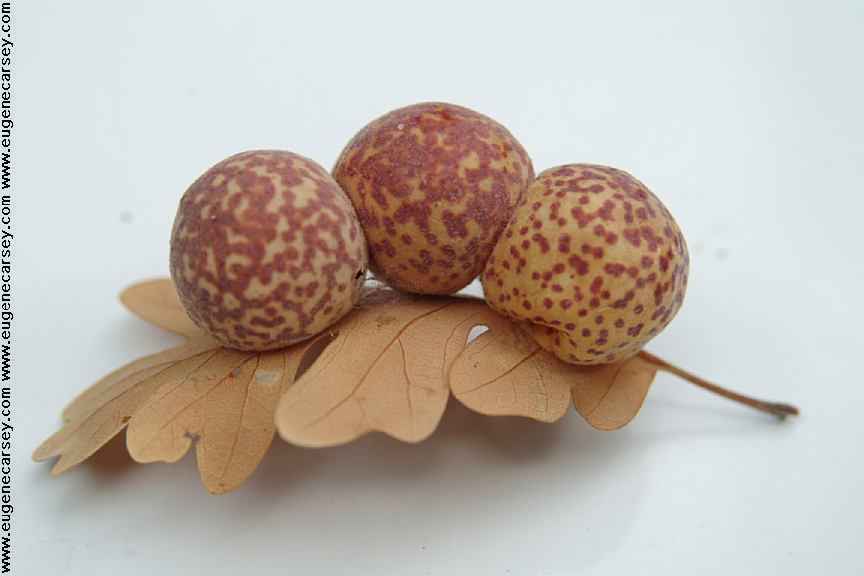
Leaf with seed pods attached
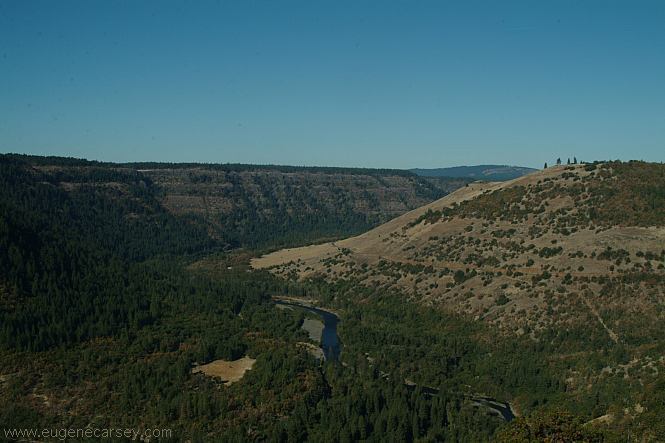
Camped here Sept. 27, 2005
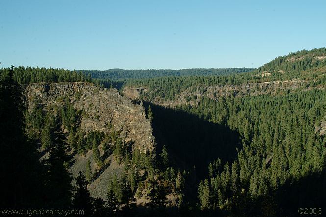
(7-8 miles east of Glenwood on the canyon's rim)
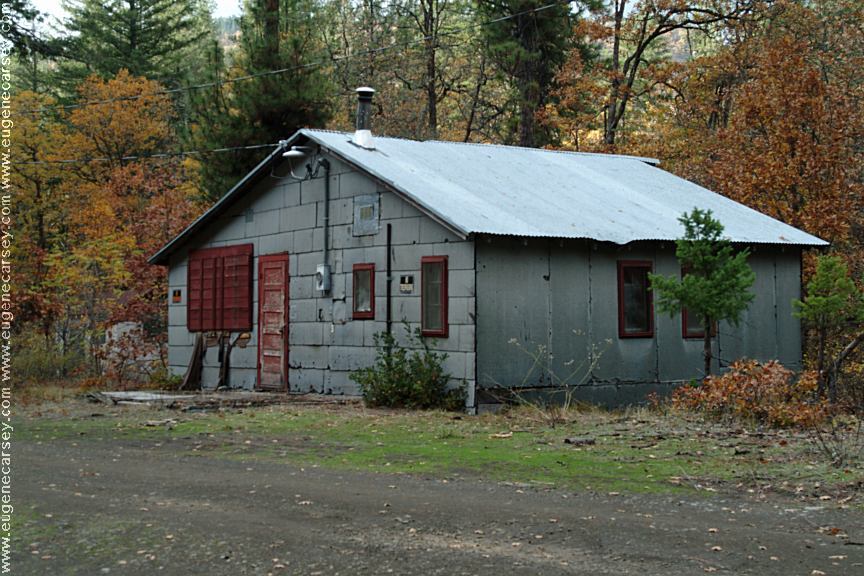
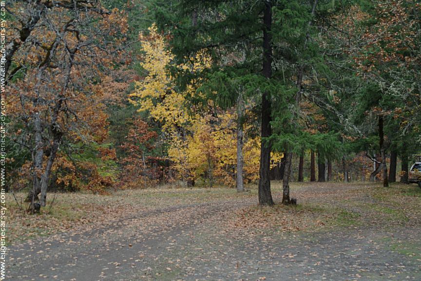
Camped here October 24, 2007

www.eugenecarsey.com
Free campgrounds and camping
www.dispersedcampgrounds.com
WASHINGTON CAMPGROUND DIRECTORY
GLENWOOD-GOLDENDALE ROAD
|