|
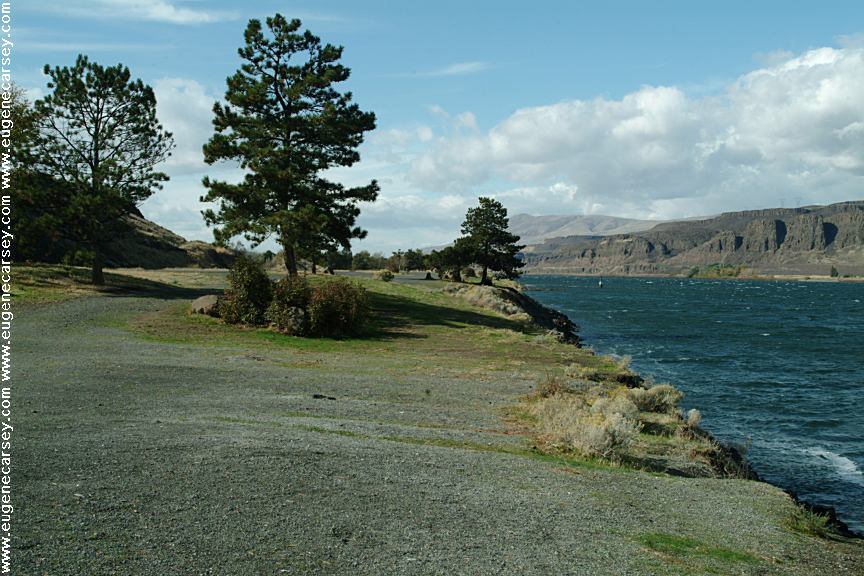
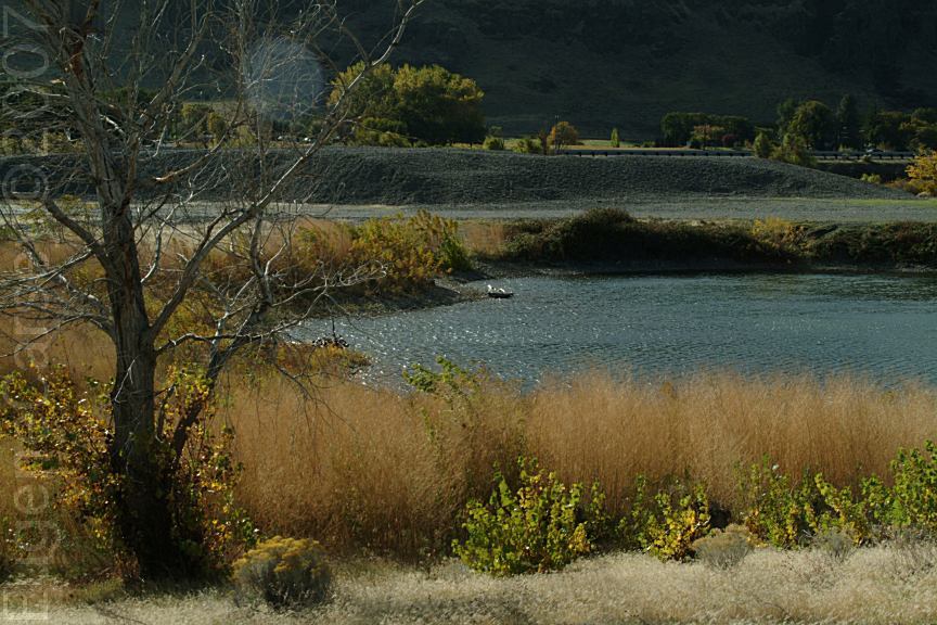
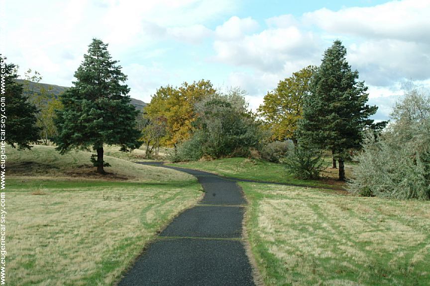
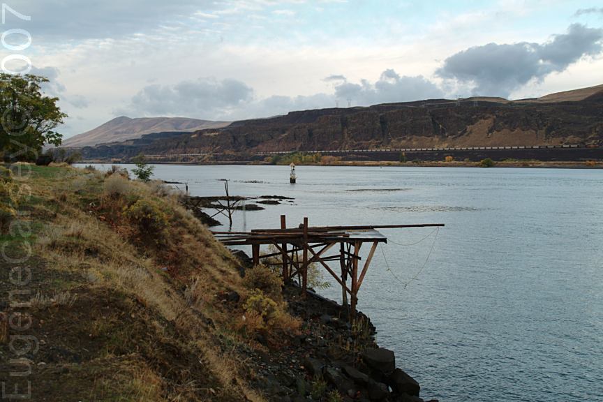
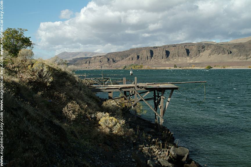
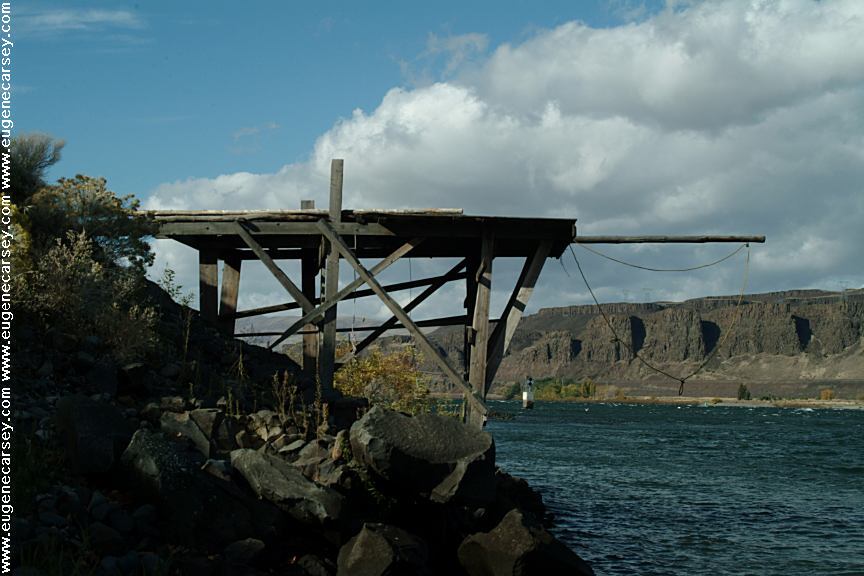
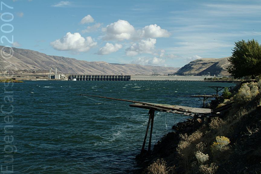
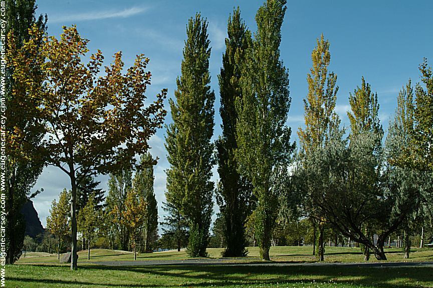
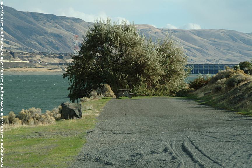
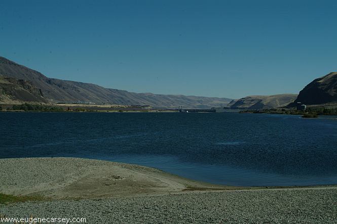
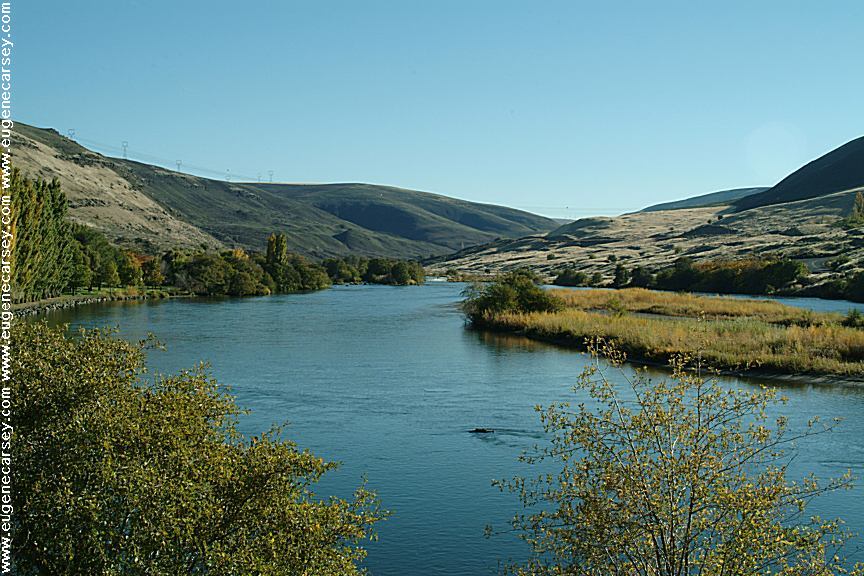
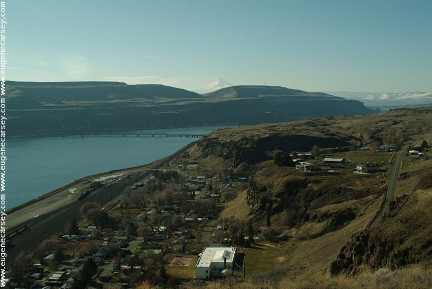
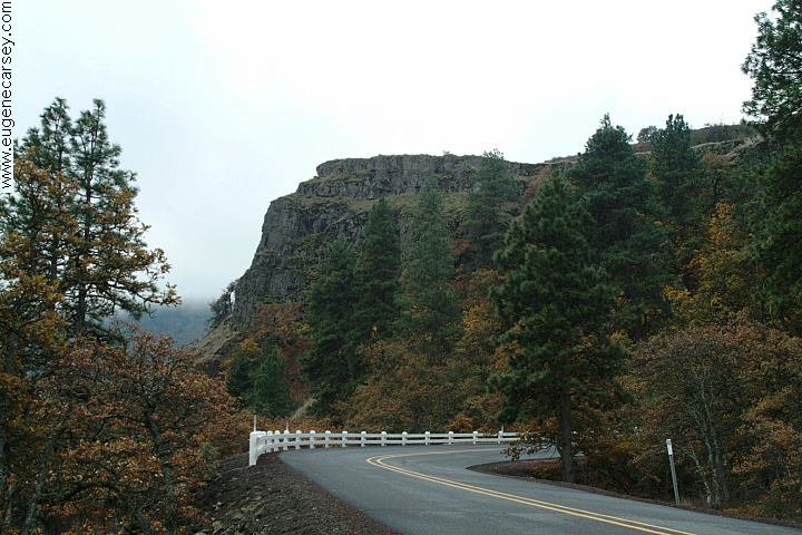
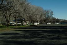
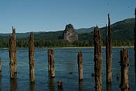
Columbia River from Cliffs Park
CLIFFS
PARK
LATITUDE: N 45°42.819
LONGITUDE: W 120°42.718
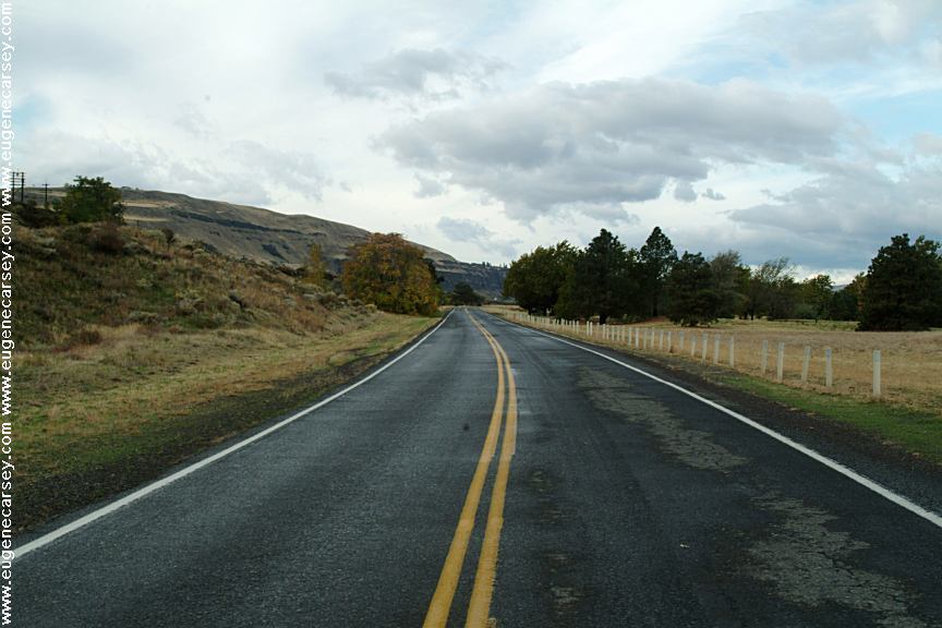
West on Hwy.14 at the John Day Dam
Road follows the Columbia River for several
miles with dispersed campsites. Incredible
scenery...
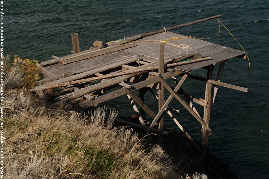
Avery Park and Fishing Treaty Site
AVERY PARK
LATITUDE: N 45°39.748
LONGITUDE: W 121°02.117
Hwy.14 between milepost 89-90
(3 miles west from Wishram, WA)
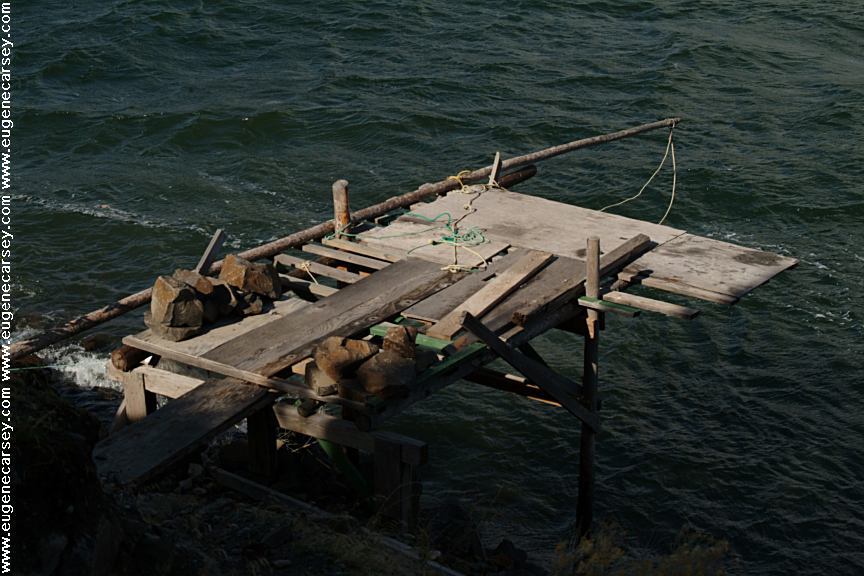
Sundale Park and Fishing Treaty Site
SUNDALE PARK
LATITUDE: N 45°43.134
LONGITUDE: W 120°18.924
Indian Fishing Treaty Access Site
Hwy.14 at milepost 128
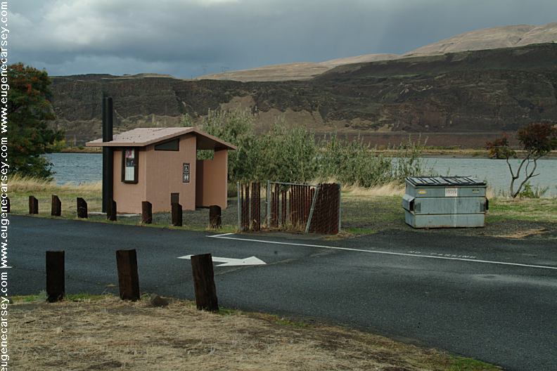
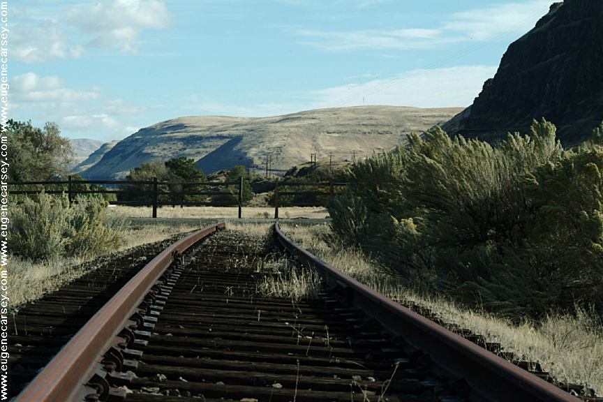
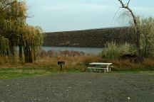
Rock Creek Boat Ramp
ROCK
CREEK BOAT RAMP
LATITUDE: N 45°43.165
LONGITUDE: W 120°27.649
Hwy.14 / Milepost 121
Take Rock Creek Road for xx miles
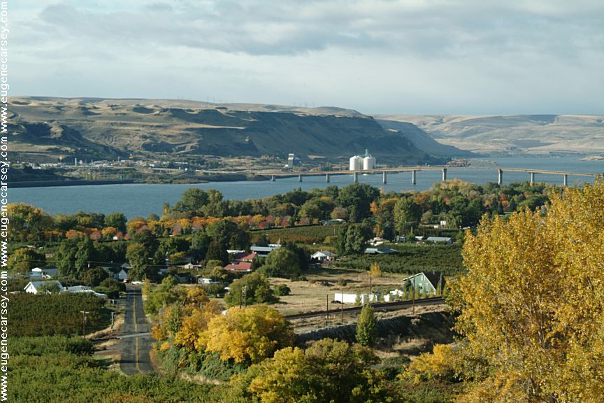
Maryhill, WA
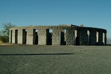
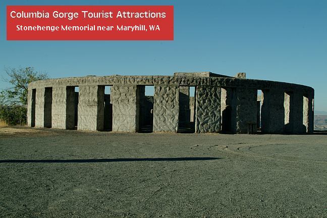
Stonehenge Memorial
STONEHENGE
MEMORIAL
LATITUDE: N 45°41.660
LONGITUDE: W 120°48.380
Hwy.14 east from Maryhill, WA
Stonehenge Memorial is a replica of
the Stonehenge Monument in England...
Built by Samuel Hill as a memorial to
Klickitat County soldiers who lost their
lives in World War One. Construction
was completed in 1929.
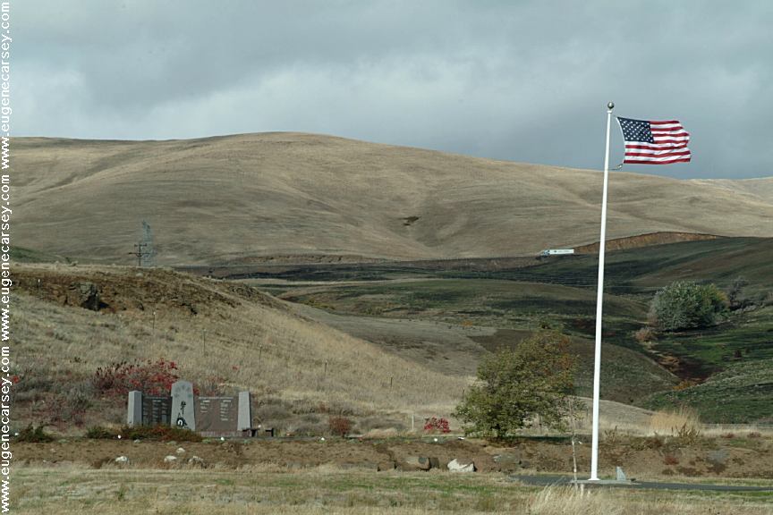
War Memorial
The War Memorial is dedicated to...
Next to Stonehenge Memorial.
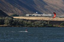
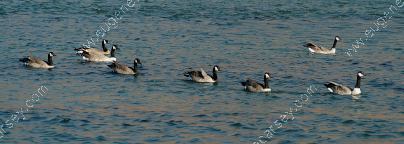
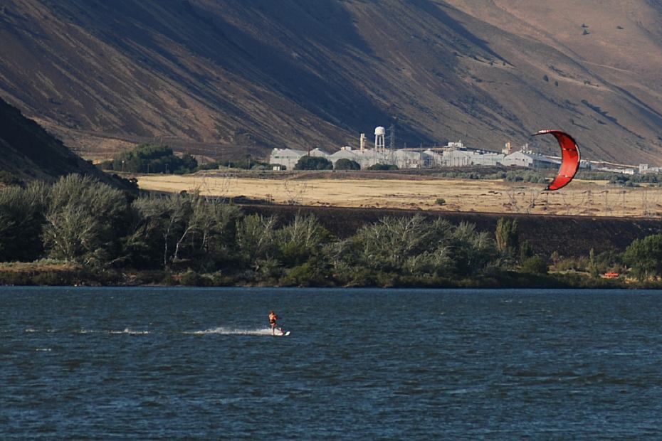
Windsurfers in Columbia Gorge

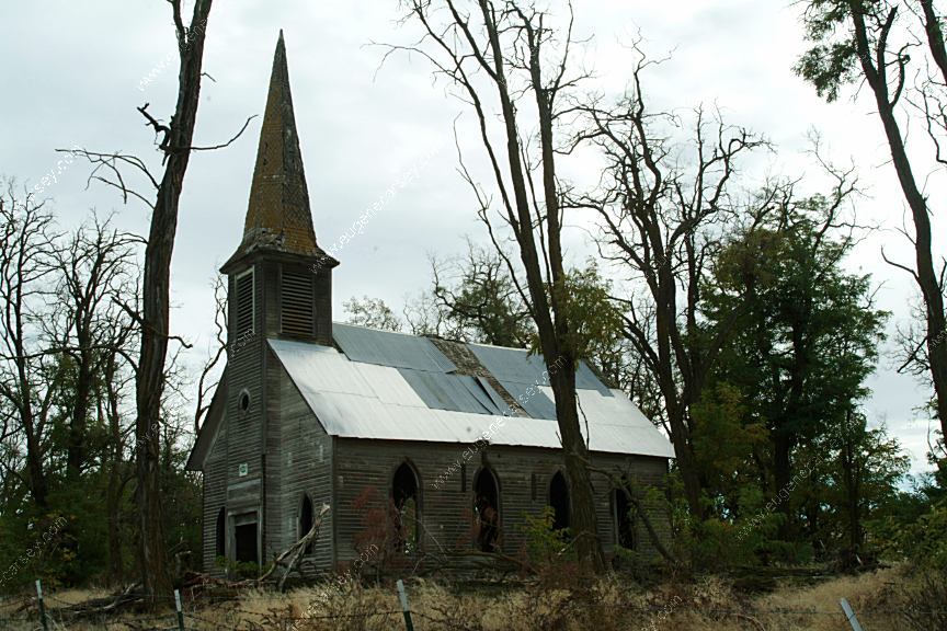
Old Church on Hwy.206 / Milepost 11
About 3 miles north of Wasco, OR
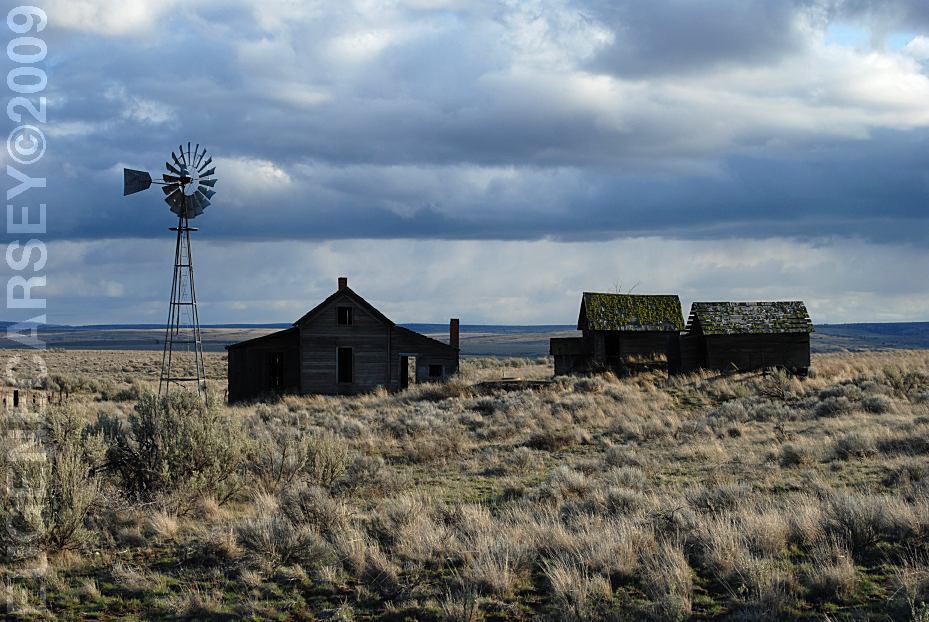
Old Buildings on Haggerty Lane
LATITUDE: N 45°10.239
LONGITUDE: W 120°42.075
South from Kent, OR
Hwy.97 / MP 42-43
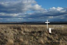
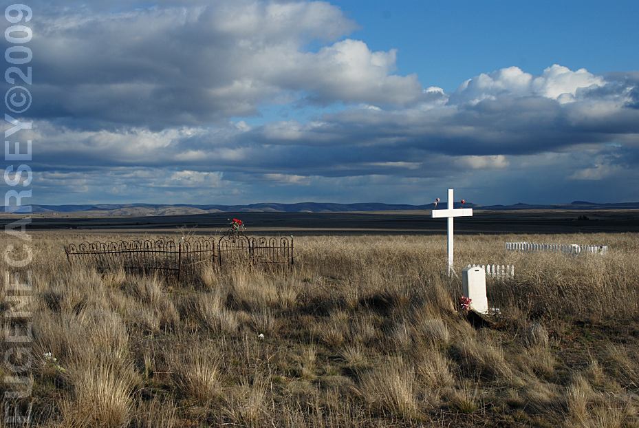
Historic Cemetery
LATITUDE: N 45°09.371
LONGITUDE: W 120°41.211
South from Kent, OR
Hwy.97 / MP 43-44
Most of the dates are from the early 1900's

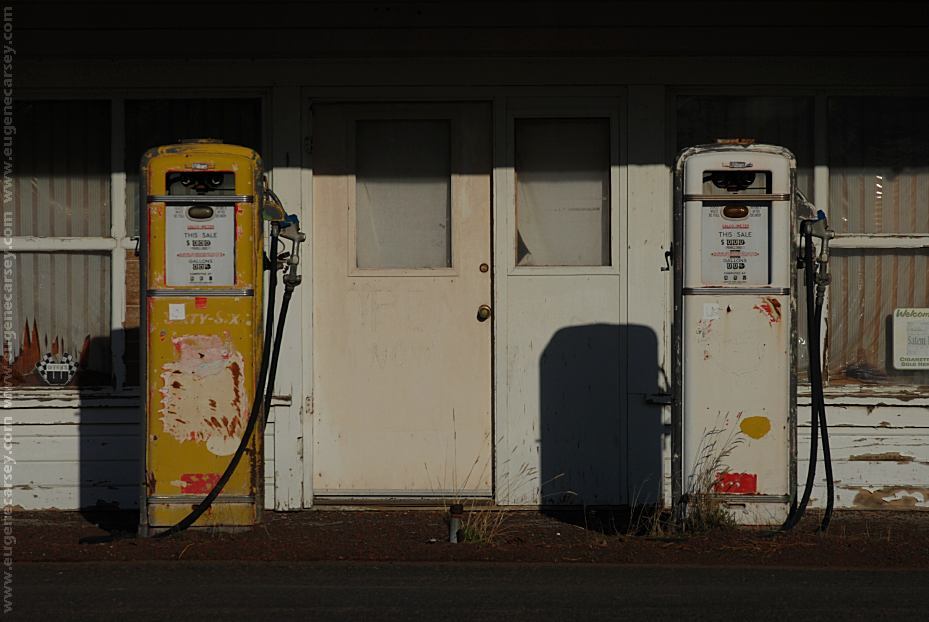
Gas Pumps in Kent, OR
LATITUDE: N 45°11.755
LONGITUDE: W 120°41.773
Hwy.97 / MP 40-41

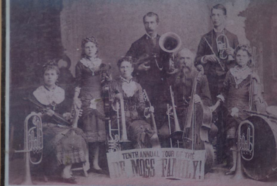
DeMoss Memorial Park on Hwy.197
LATITUDE: 45°30.715
LONGITUDE:120°40.975
Oregon Hwy.97 MP 15
3 miles north from Moro, OR
Vaulted Toilets, Garbage, Picnic,
Water in Season
Historical Structures and Information
PHOTO HERE
Mountain Identifier
LATITUDE: 44°59.440
LONGITUDE:120°50.960
Oregon Hwy.97 MP 62
Mount Rainer, Adams, St.Helens, Hood,
Jefferson, Three Finger Jack, Washington,
Three Sisters, and Broken Top.
PHOTO HERE
Mountain Identifier
LATITUDE: 44°58.938
LONGITUDE:120°59.477
Criterion Summit / Elevation 3360'
Oregon Hwy.197 MP 62
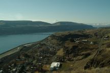
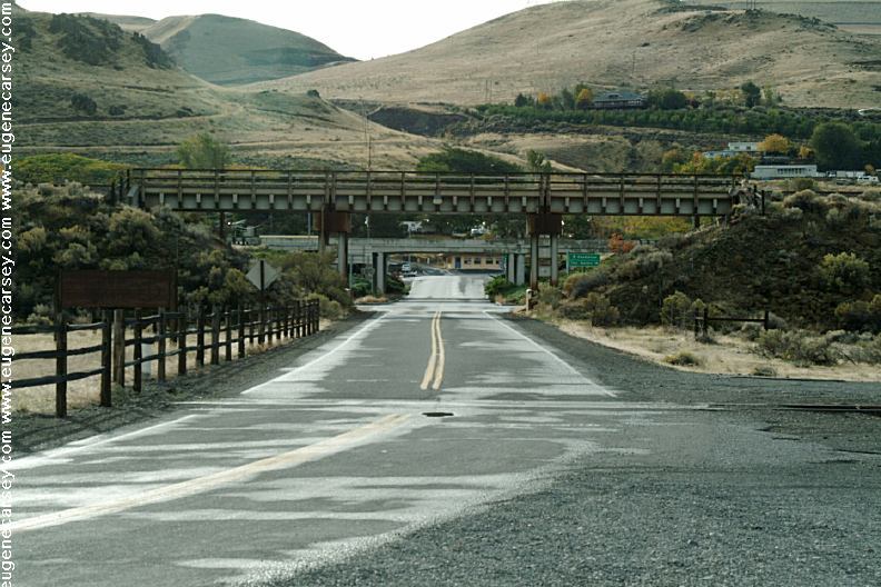
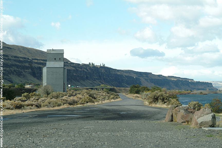
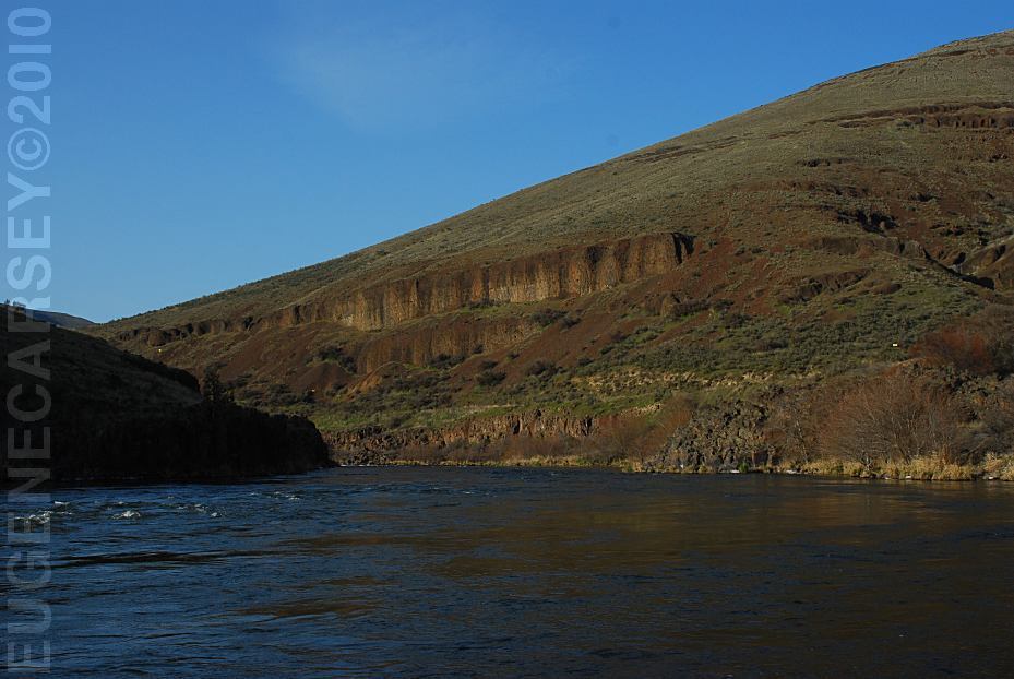
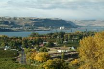
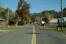
Wishram, WA
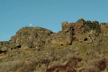
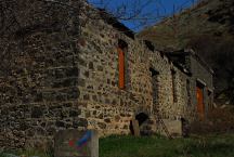
Stone House on Hwy.14 / Milepost 85
Near Horse Thief State Park
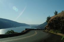
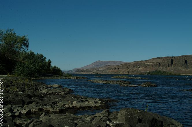
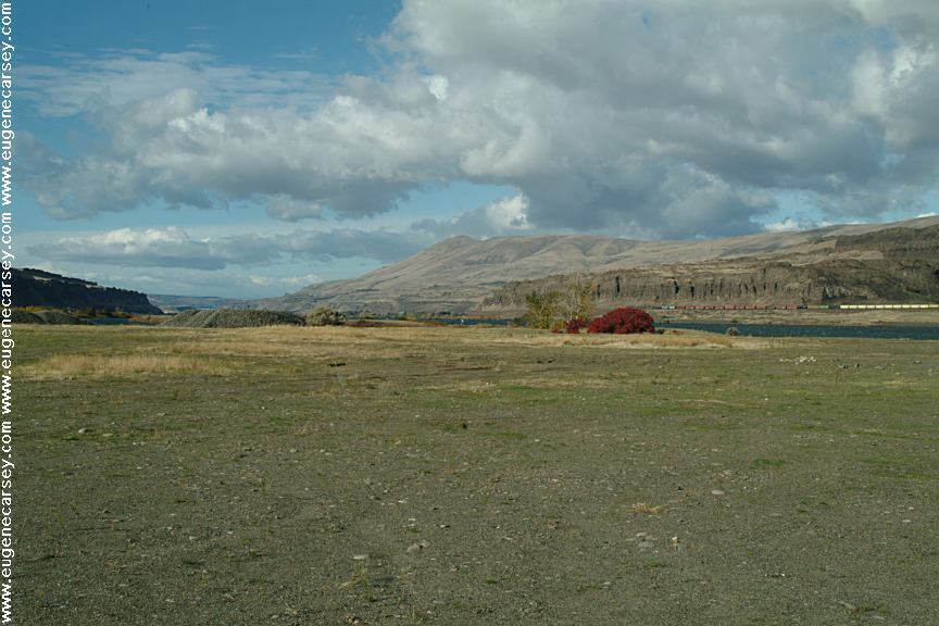
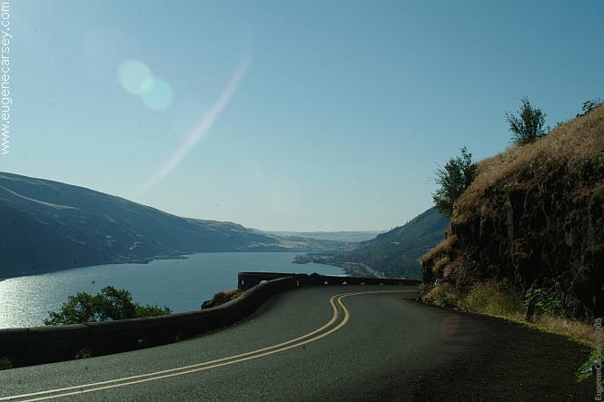
Columbia River Gorge from Hwy.30
Columbia River Gorge towards Portland

Highway 30
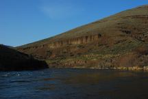
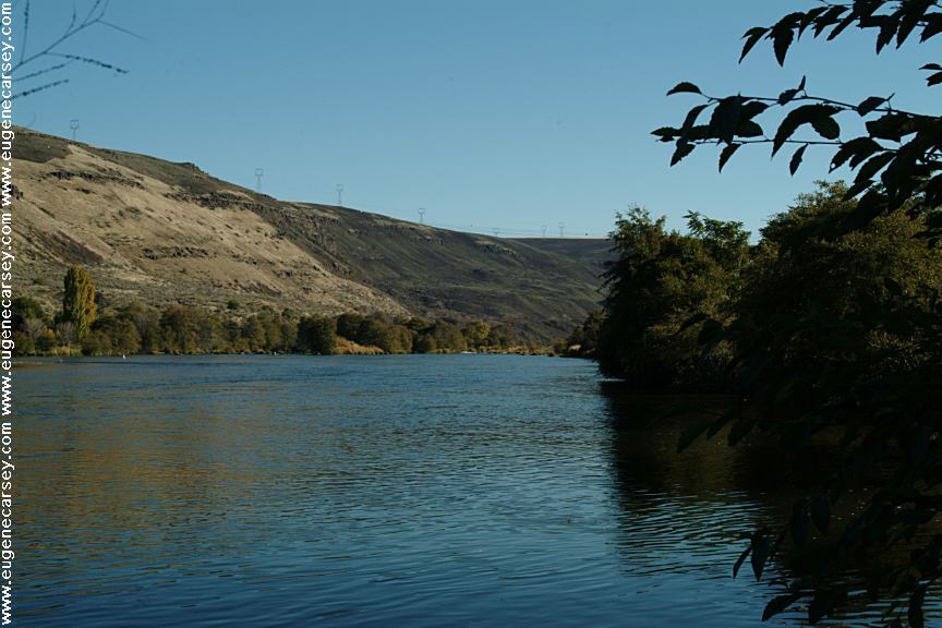
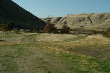
Deschutes River from Buck Hollow
LATITUDE: 45°16.050
LONGITUDE:121°01.135
Highway 216 between Maupin and Grass Valley
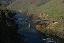
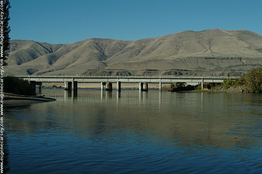
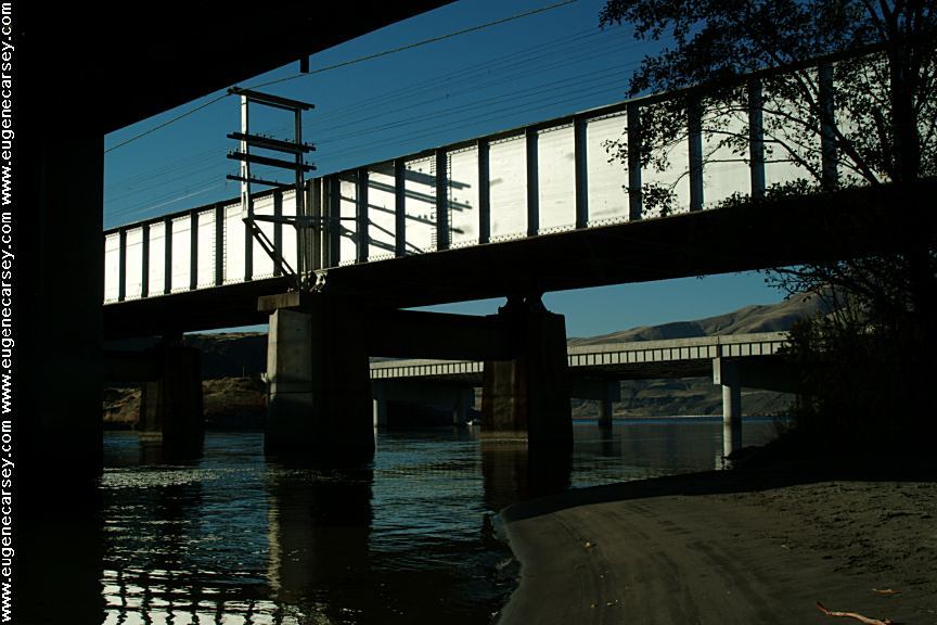
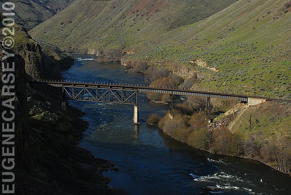
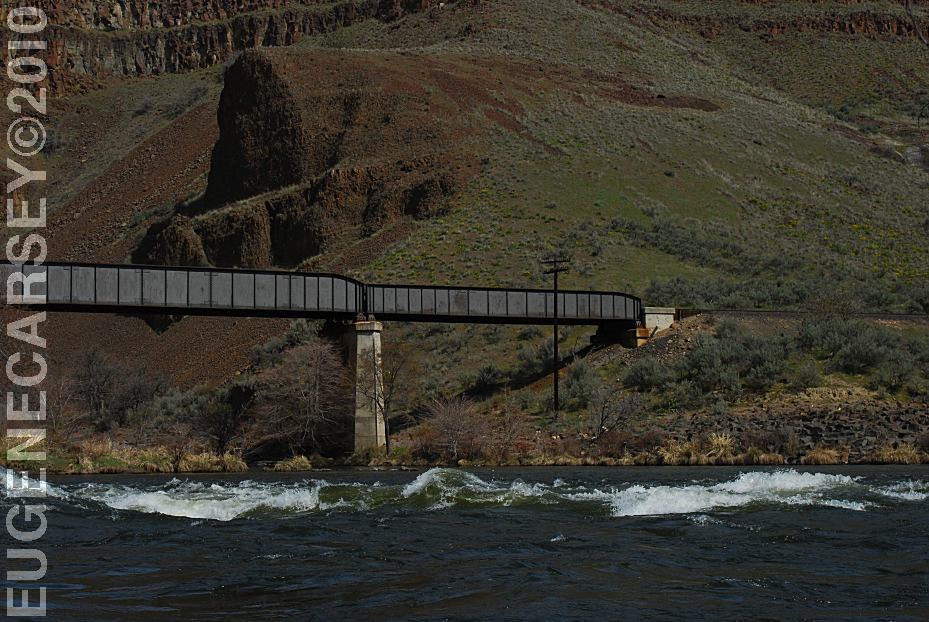
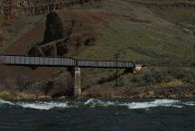
Train Bridge over the Deschutes River
(North from Buckhollow)
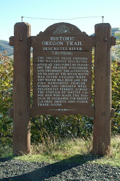
Sherars Bridge
LATITUDE: 45°15.650
LONGITUDE:121°02.250
SHERARS BRIDGE
This area of the Deschutes River has
been a river crossing and fishing location
for thousands of years. Peter Skene Ogden
made note of an Indian camp and bridge
when he crossed here in 1826.
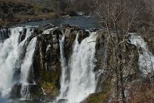
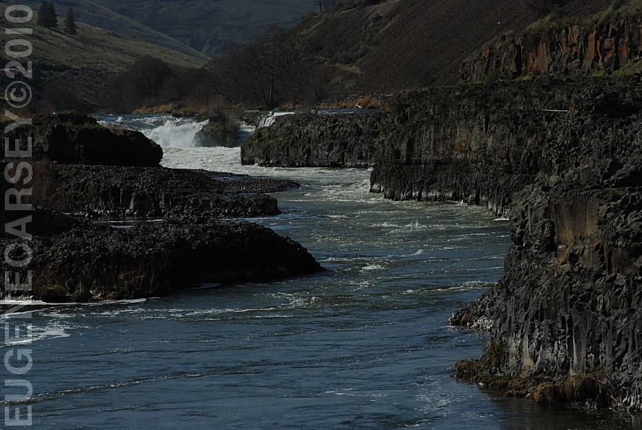
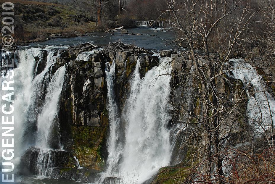
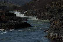
White River Falls SP
LATITUDE: 45°14.600
LONGITUDE:121°05.815
There are a series of waterfalls as the river
snakes it's way through the canyon. From
the viewpoint you only see the upper set of
falls, but this is a double waterfall. The lower
pool and falls can be viewed by walking
down the trail a short distance.
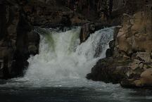
If you walk down past the old powerhouse
there is another waterfall.
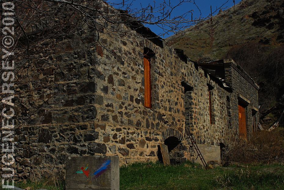
White River Falls Powerhouse
White River Recreation Site
LATITUDE: 45°13.940
LONGITUDE:121°04.050
Confluence of the Deschutes and White Rivers.
Road xx East from Maupin, OR.
Also see: 29 PINES CAMPGROUND
Also see: AVERY
PARK
Also see: BROADWAY
LAVA FIELD
Also see: CLIFFS
PARK
Also see: GLENWOOD-GOLDENDALE
Also see: HAYSTACK
RESERVOIR
Also see: MOUNT
SAINT HELENS
Also see: NORTH
SHORE ROAD
Also see: OCHOCO
NF / COTTONWOOD
Also see: OCHOCO
NF / ROAD#16
Also see: OCHOCO
NF / ROAD#27
Also see: ROCK CREEK BOAT RAMP
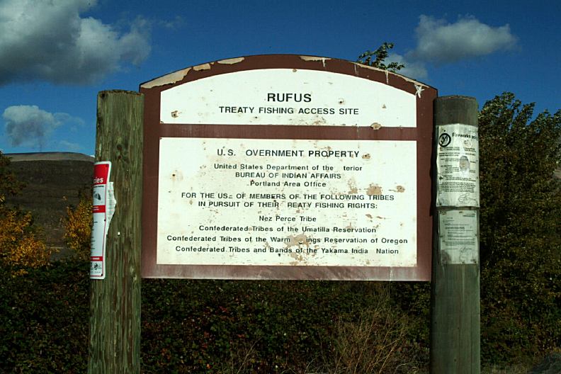
Also see: RUFUS LANDING
Also see: SALT
CREEK ROAD
Also see: SKULL HOLLOW
Also see: SUNDALE
PARK
Also see: TEANAWAY
CAMPGROUND
Also see: WILLIAMS
CAMPGROUND

Google Custom Map by Ian
OREGON FREE CAMPGROUND MAP
Google custom map by Ian with most of the
free campgrounds in Oregon.
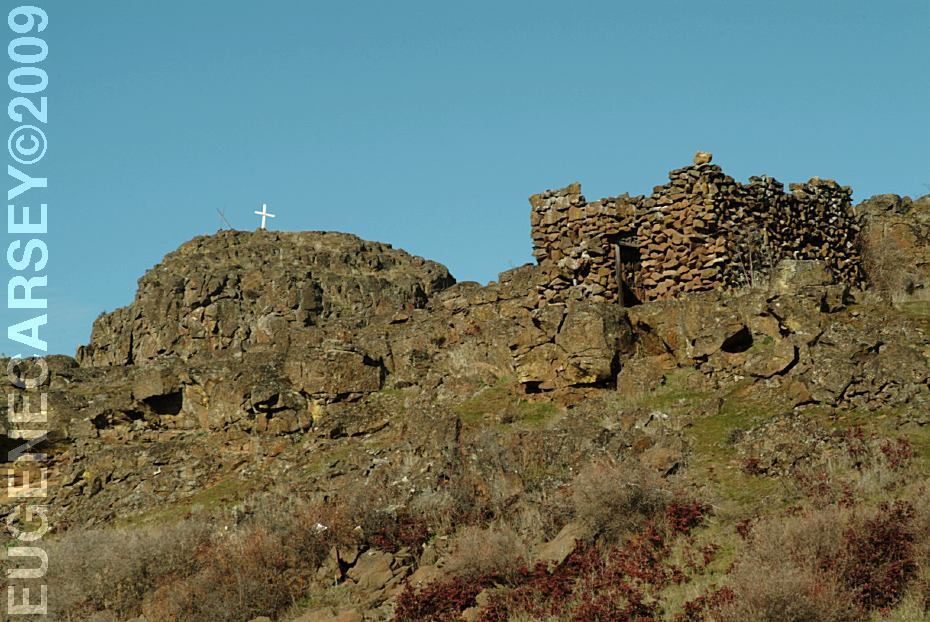
Liberty Site, WA
Near Williams Campground in Washington.
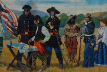
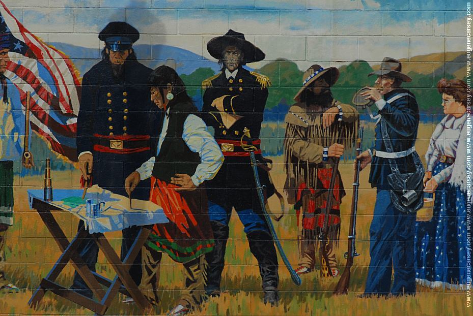
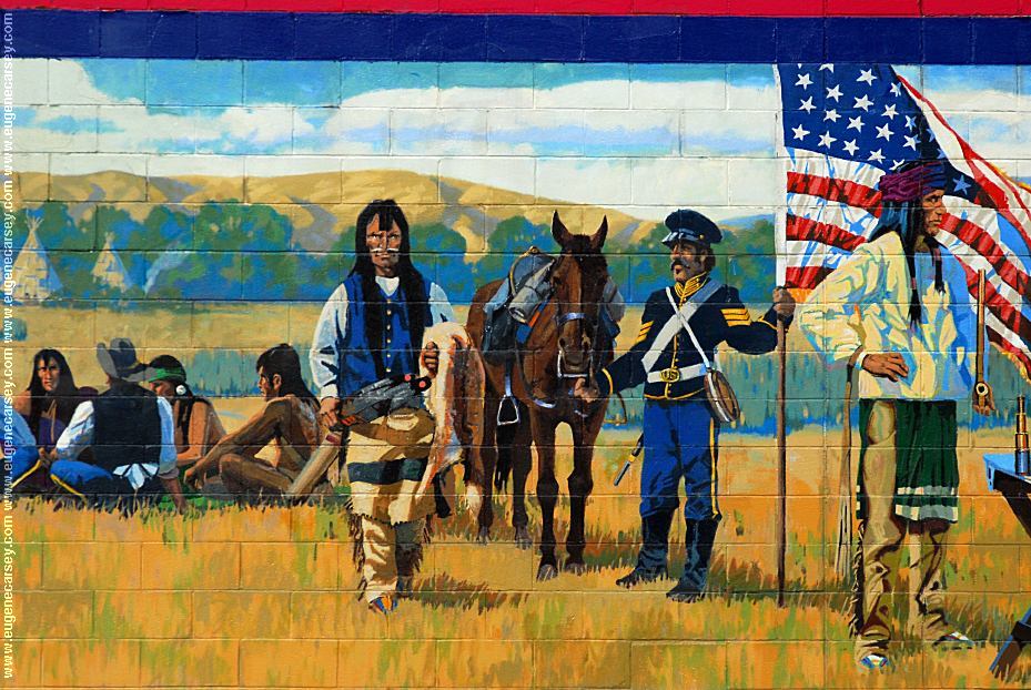
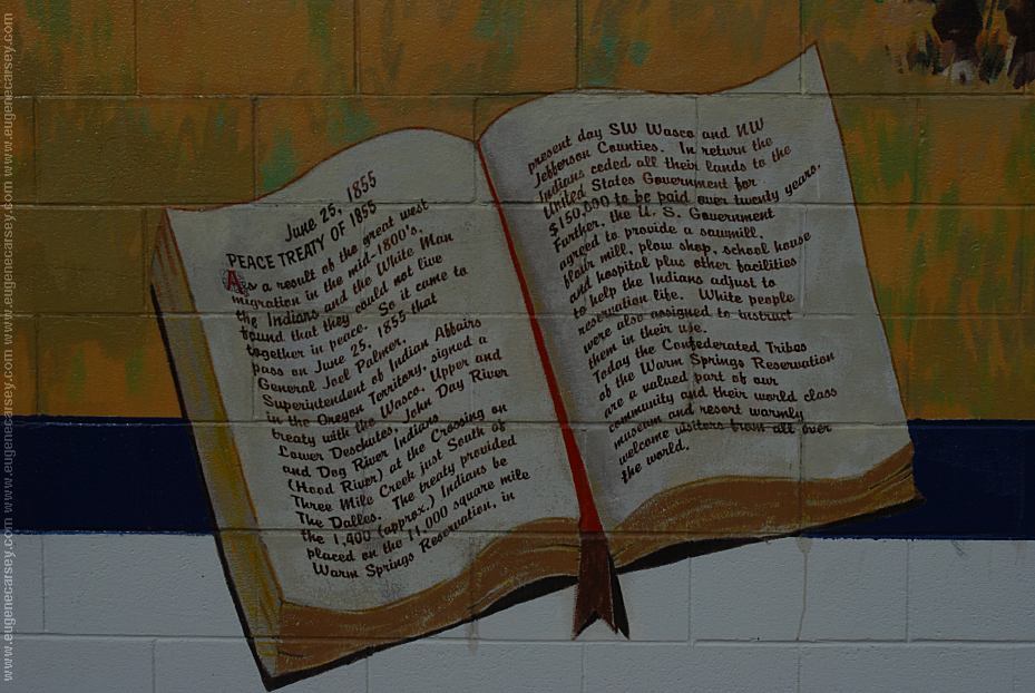
Peace Treaty of 1855

Peace Treaty of 1855


By R.E. Pierce and Don Prechtel
Peace Treaty of 1855
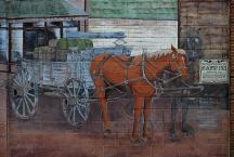
Tum-A-Lum Lumber Company
811 E.2nd
The Dalles, OR

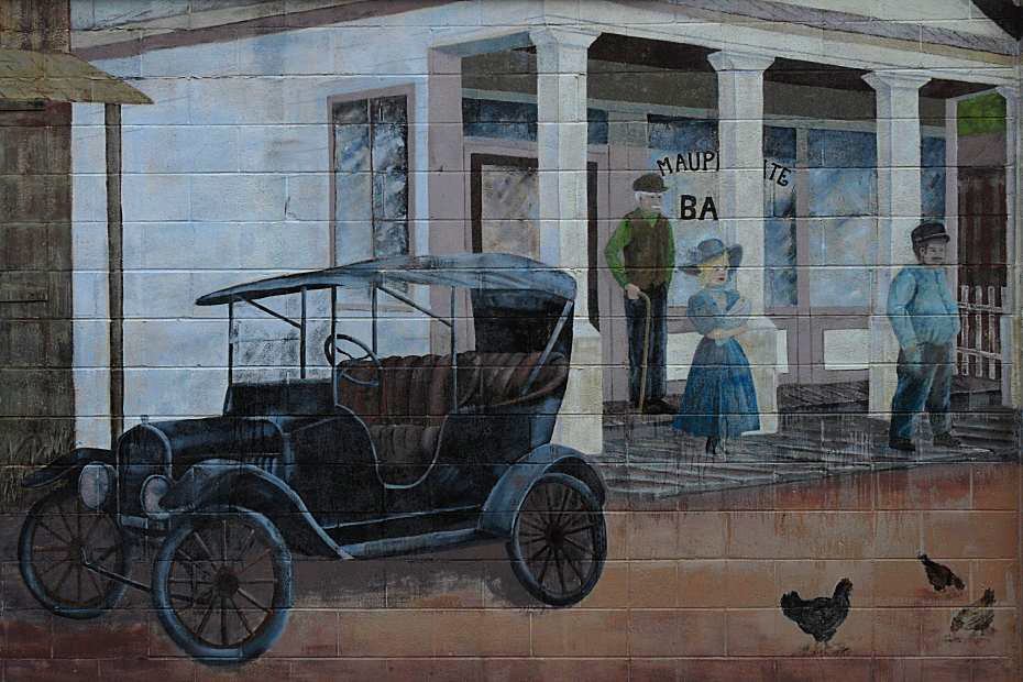
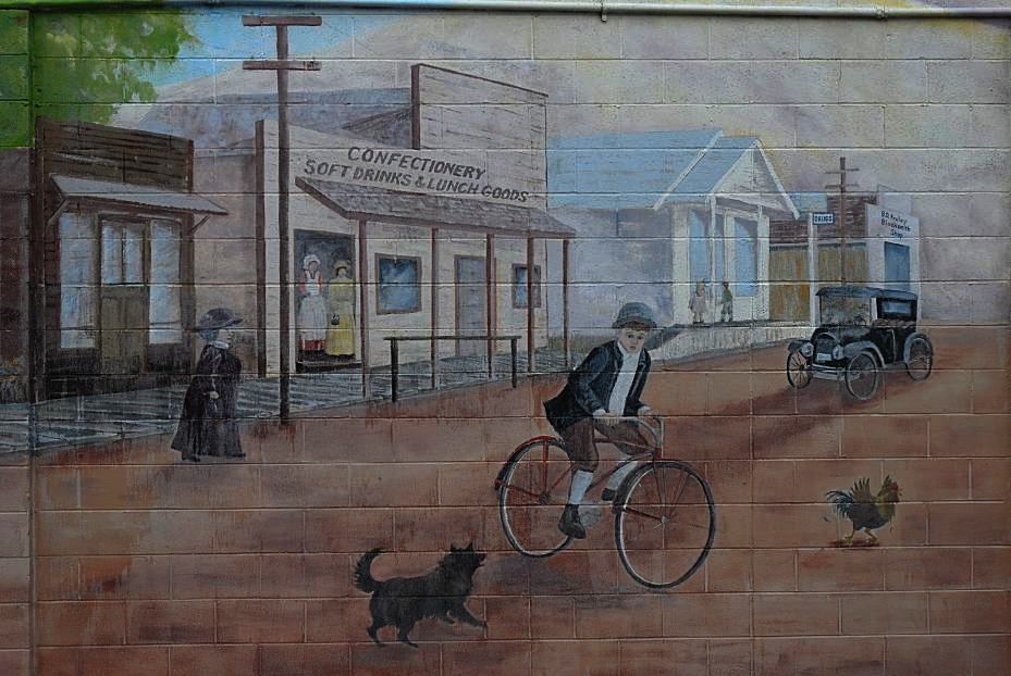
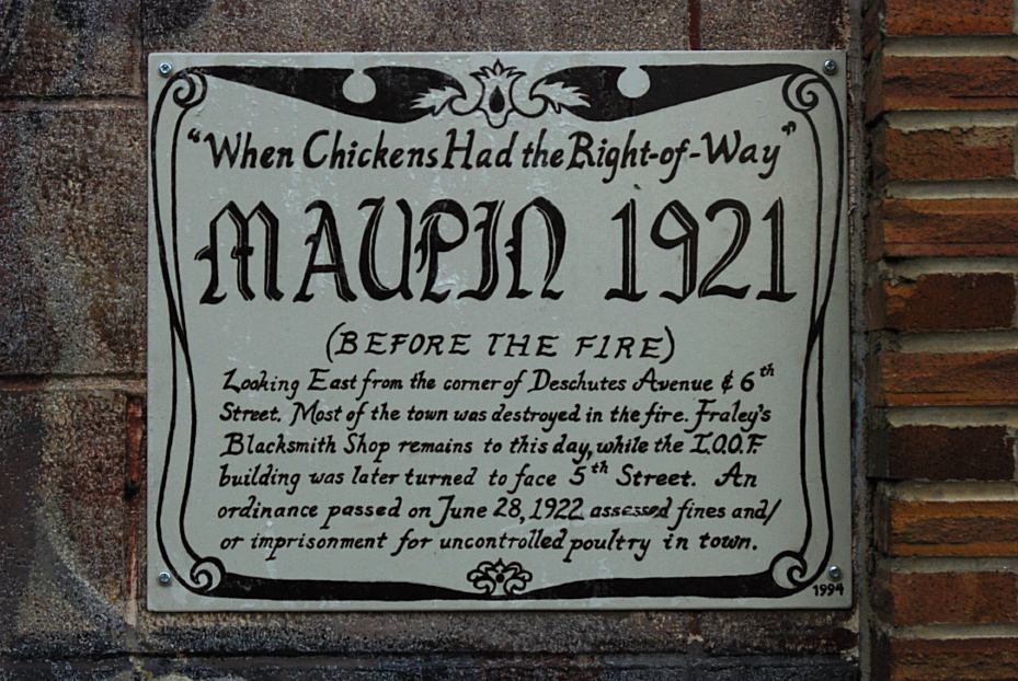
Maupin 1921

Maupin 1921
Maupin 1921
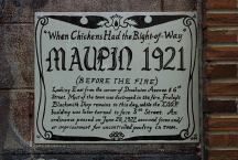
MAUPIN 1921
Mural painted on side of
Deschutes Angler Fly Shop
Hwy.191 in Maupin, OR
CAMPGROUND INDEX
Complete free campground listing
CAMPING ADVICE AND TIPS
TOURIST
PHOTOS

www.eugenecarsey.com
Camped here several times over the years.
Camped here January 20, 2008
Camped here March 15, 2008
dispersedcampgrounds.com
Free campgrounds and camping
OREGON CAMPGROUND DIRECTORY
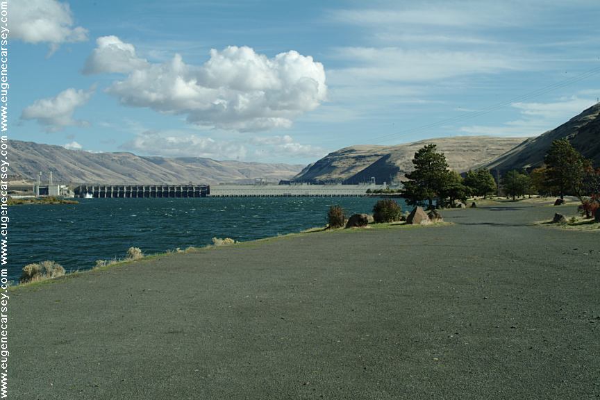
COLUMBIA RIVER GORGE SCENIC AREA
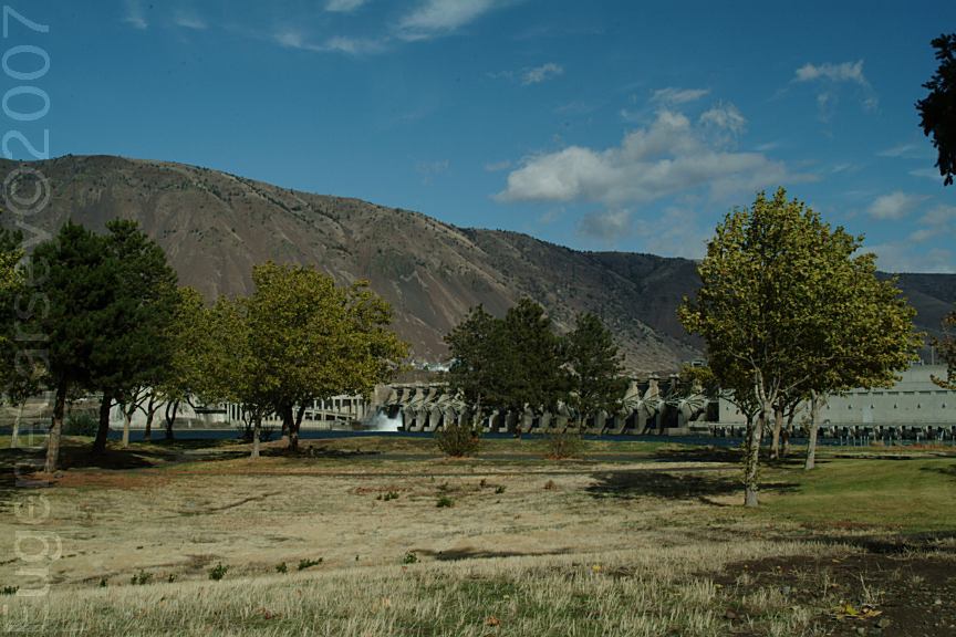
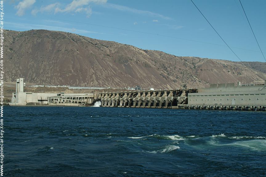
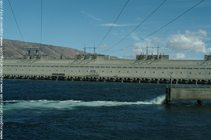
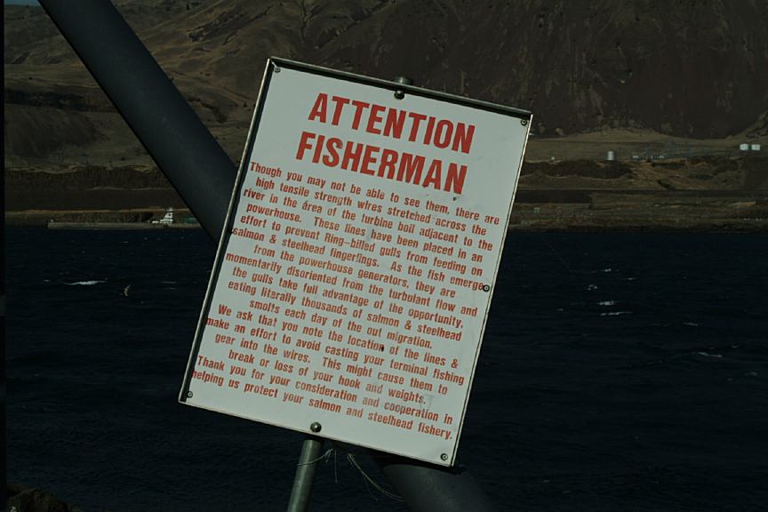
JOHN DAY DAM VISITOR CENTER
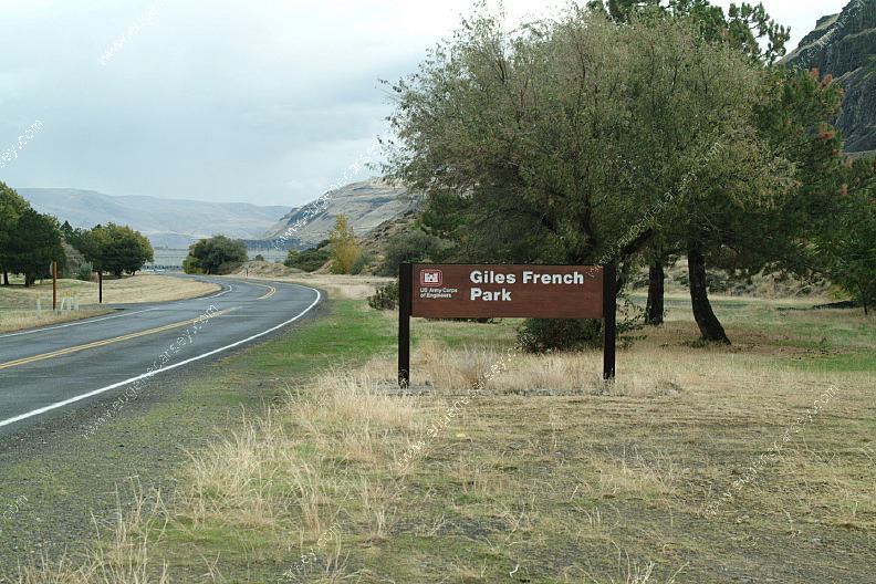
GILES FRENCH PARK
FRENCH GLEN
|