|
|


|
Free camping and campgrounds |
|
PHOTO HERE
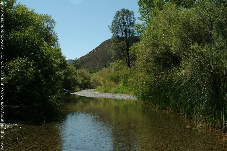
From Hough Springs to Indian Valley Reservoir,
IT IS YOUR RESPONSIBILITY TO
KNOW
|
DIRECTIONS: When traveling from the north there are ROAD CONDITIONS: Least priced gas was in Lucerne, CA
Hwy.20 between Lucerne and Nice
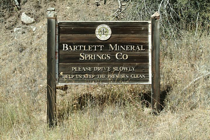
Bartlett Springs Road / Road M-12 / Road#303
Around 25 miles to Indian Valley Reservoir
limited signs and road markings.
From I-5 at Williams take Hwy.20 west
Turn right on Leesville-Lodoga Road
Turn left on Bear Valley Road
In 1.7 miles turn right and Indian Valley
(7 miles rough road with steep upgrades
At the top of the hill is an unmarked junction
Straight is towards Indian Valley Reservoir
Left is a couple miles up the ridge with views
Right is to the Radio Towers)
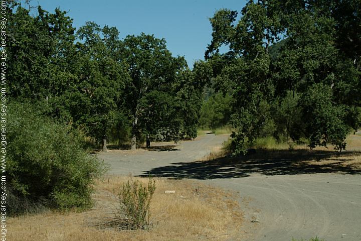
Rough dirt road.
Narrow with steep mountain grades.
Not recommended for RVs or trailers.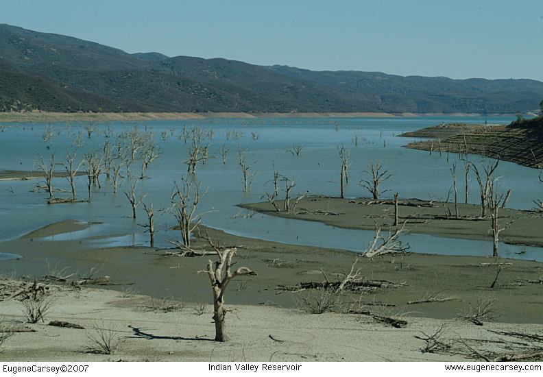
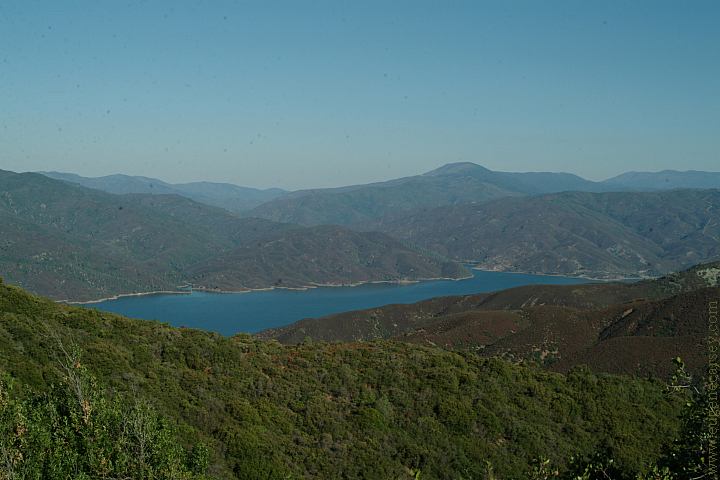
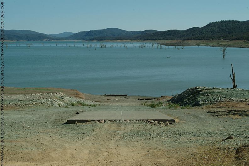
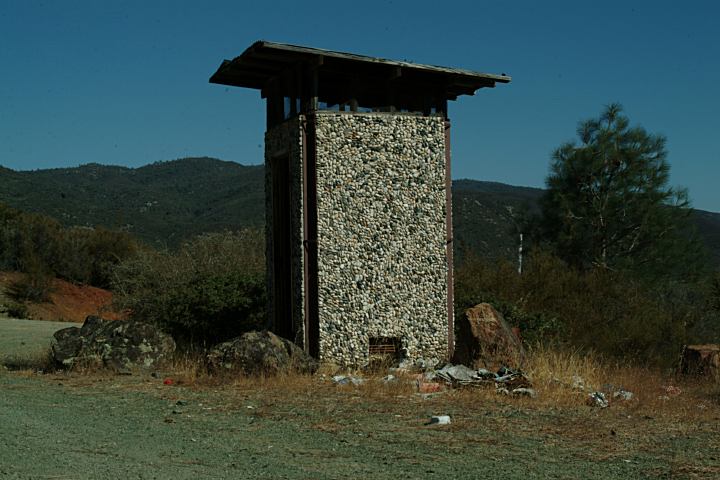
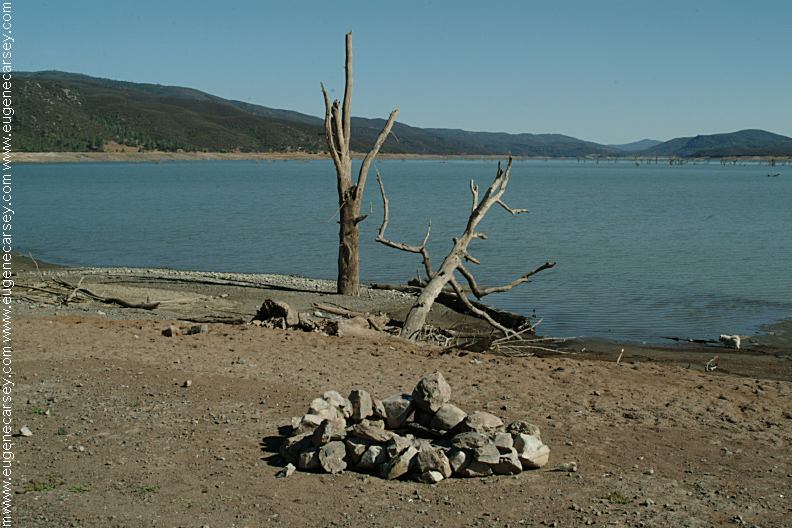
Indian Valley Reservoir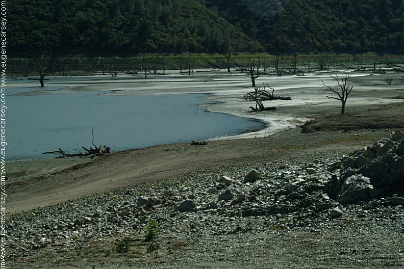
North Boat Ramp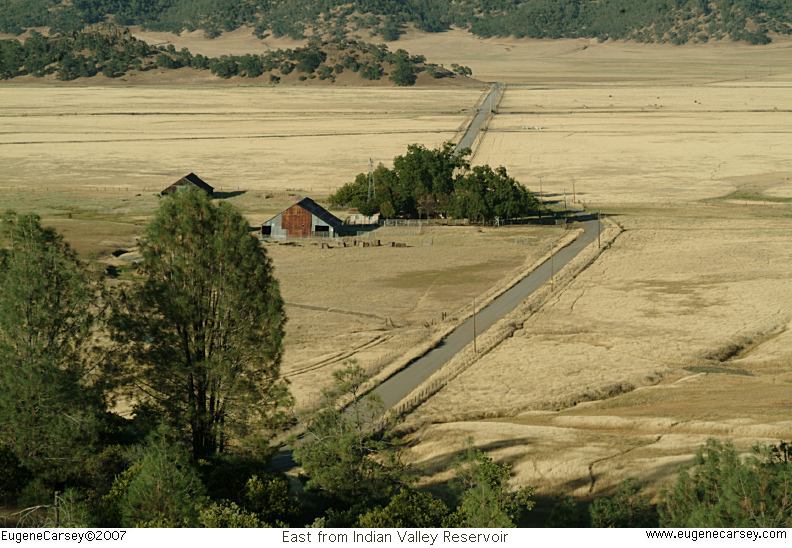
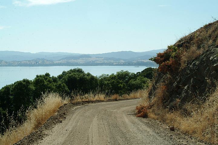
East from Indian Valley Reservoir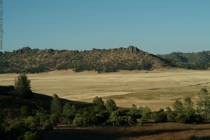
East from Indian Valley Reservoir
East from Indian Valley Reservoir
(Even less along I-5 near Sacramento
or in Williams, CA)
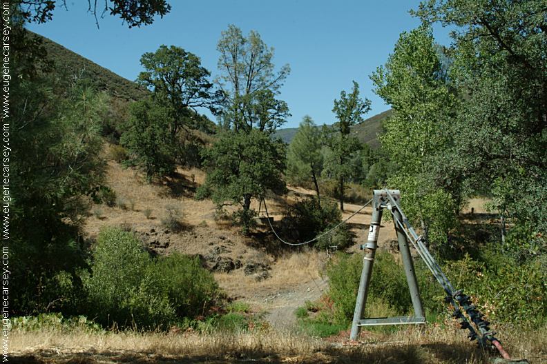
From the road Northeast of Indian Valley Reservoir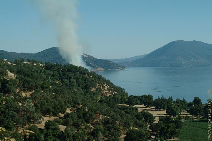
Wildfire just started near the Jct. of Hwy 20
and Bertlett Springs Road. Looking south
towards Clear Lake.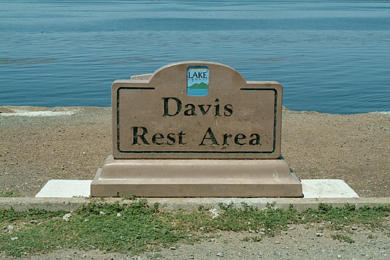
Davis Rest Area / Clear Lake
Hwy.20 at Lucerne, CA
N 39°04.203
W 122°46.952
Mendocino National Forest has over Also see: FOUTS RECREATION AREA CAMPGROUND INDEX dispersedcampgrounds.com
forty designated campgrounds.
VIEW
LIST OF CAMPGROUNDS
Most of the campgrounds are free
Also see: IRON
CANYON RESERVOIR
Also see: KNOXVILLE
REC.AREA
Also see: LAKES
BASIN
Also see: SHASTA
LAKE
Also see: TRINITY
LAKE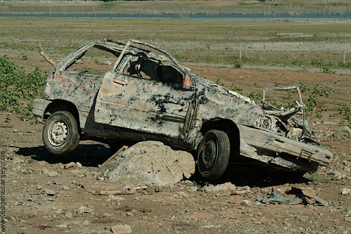
Vehicle at the North Boat Ramp
Complete free campground listing
Free campgrounds and camping
CALIFORNIA CAMPGROUND DIRECTORY
INDIAN VALLEY BLM REC. AREA
INDIAN VALLEY RESERVOIR
