|
|


|
Free camping and campgrounds
|
|
|
Access from Highway 101 Picnic Tables 7 Day Limit in any 30 Day Period DIRECTIONS: MILEAGE CHART Aberdeen xx miles Showers at Bogachel State Park Pay Showers located at the Rain Forest
Laundromat Water at Willaby Campground on Lake Quinault Smoking Prohibited on Forest Land KLAHANIE CAMPGROUND $5.00 COUGAR FACTS BEAR FACTS SATSOP LAKE CAMPBELL TREE GROVE
CAMPGROUND
On the Hoh River
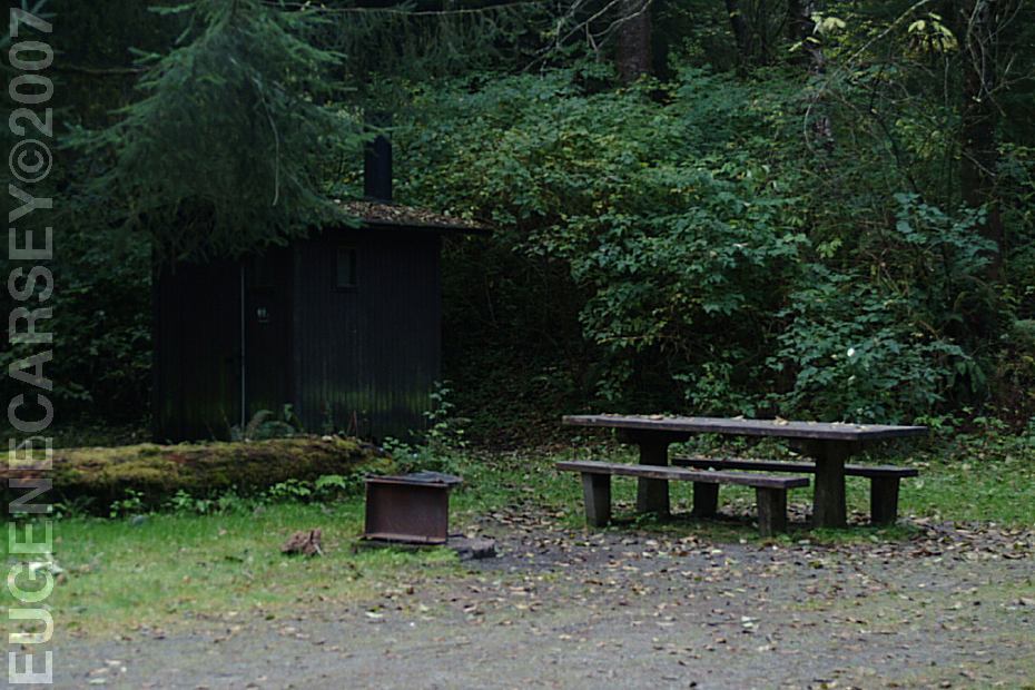
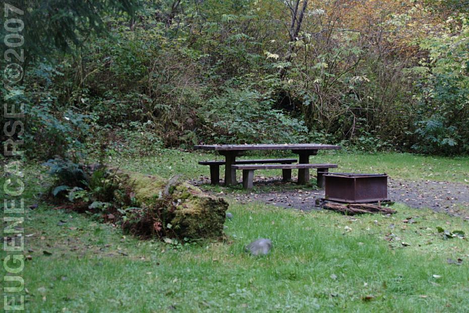
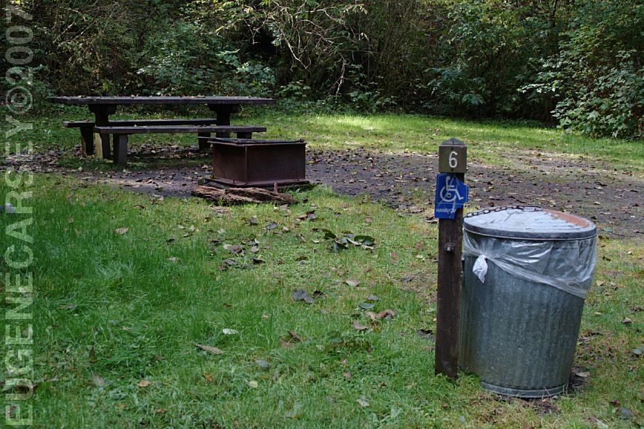
Metal Firerings
Outhouses
Garbage Cans
Boat Launch
Handicap Accessible Sites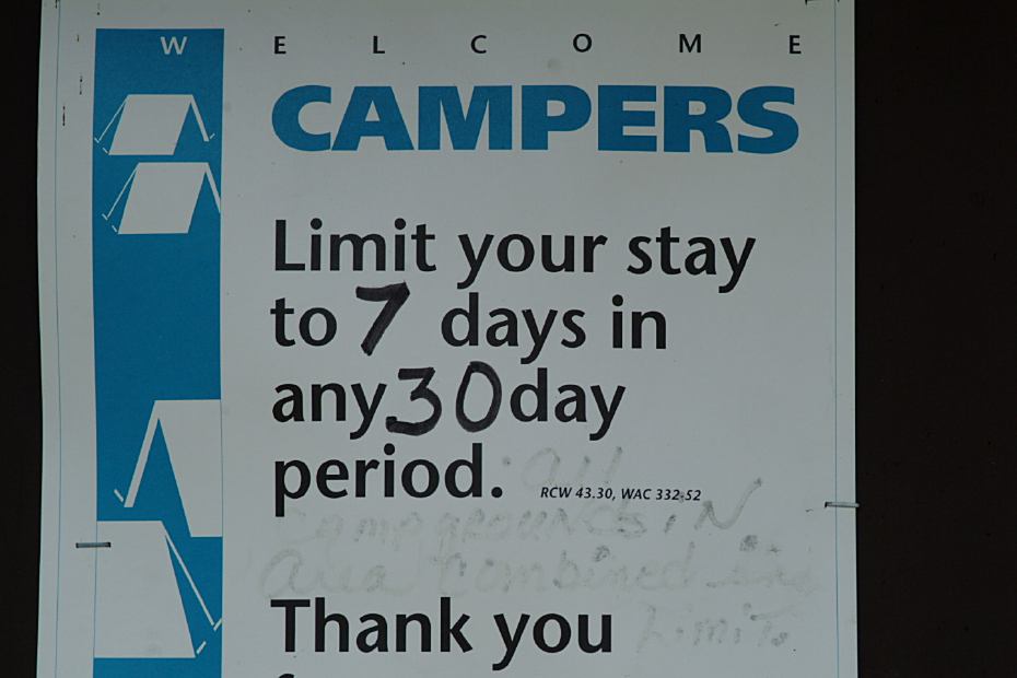
Camping Limit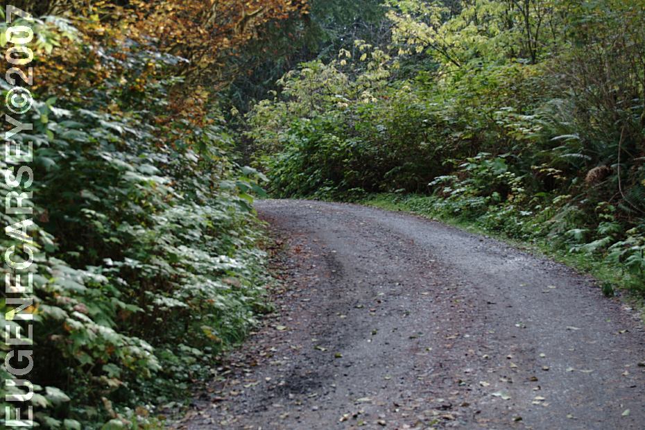
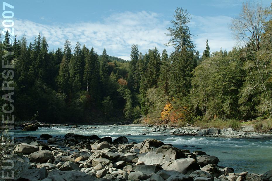
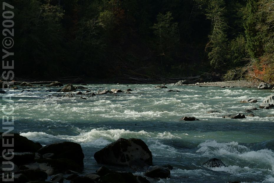
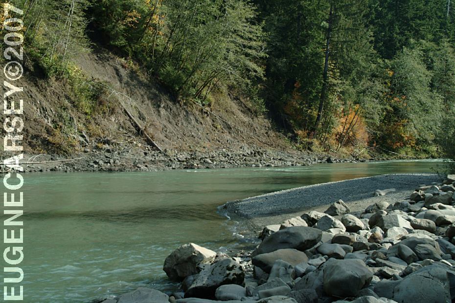
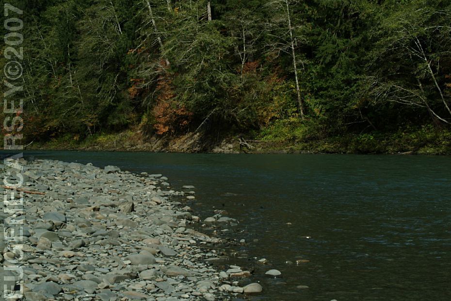
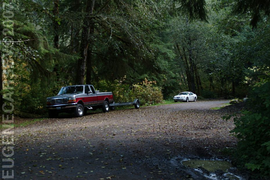
Hoh-Oxbow Campground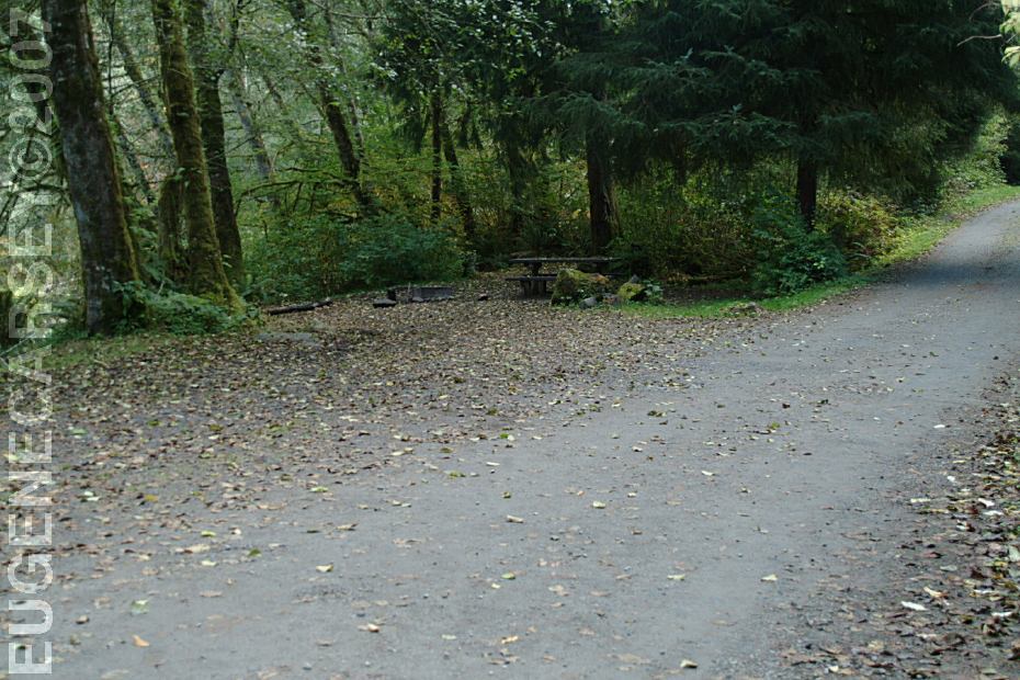
Hoh-Oxbow Campground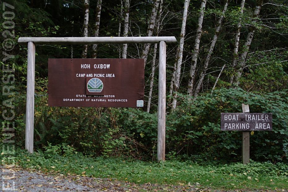
Hoh-Oxbow Campground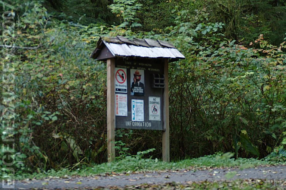
Hoh-Oxbow Campground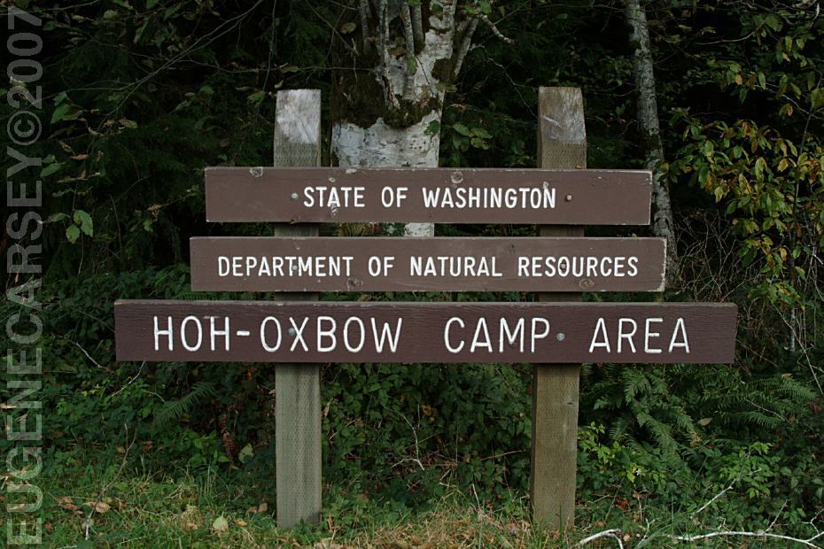
Hoh-Oxbow Campground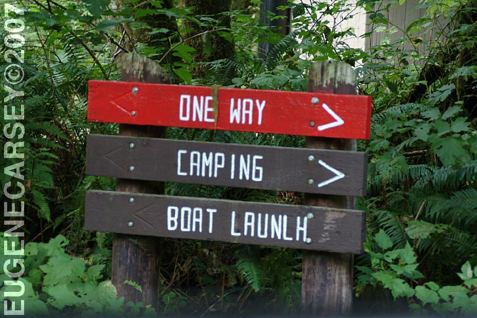
Hoh-Oxbow Campground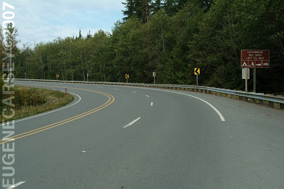
Highway 101 at Hoh-Oxbow Campground
From Aberdeen, WA
Hwy.101 / MP 168.8
(1/2 mile south from Cottonwood Recreation Area)
Campground entrance from Highway 101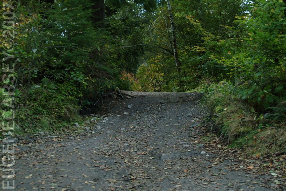
Boat Launch at Hoh-Oxbow Campground
From Hoh-Oxbow Campground
Forks
xx miles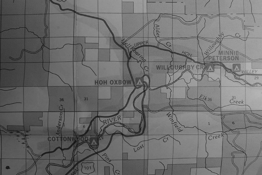
Map Insert of Hoh-Oxbow Campground
1 1/2 minutes for 25 cents
Donation for Day Use Parking
Park is open 8 am - dusk
(Drinking water was rust colored)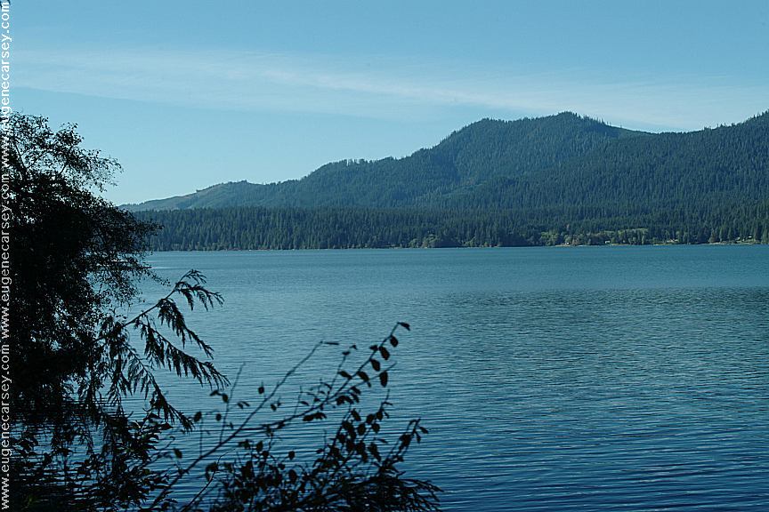
Lake Quinault from Willaby Campground
on the South Shore Road of Lake Quinault
(Hwy.101 at Milepost 125 turn on xx Road)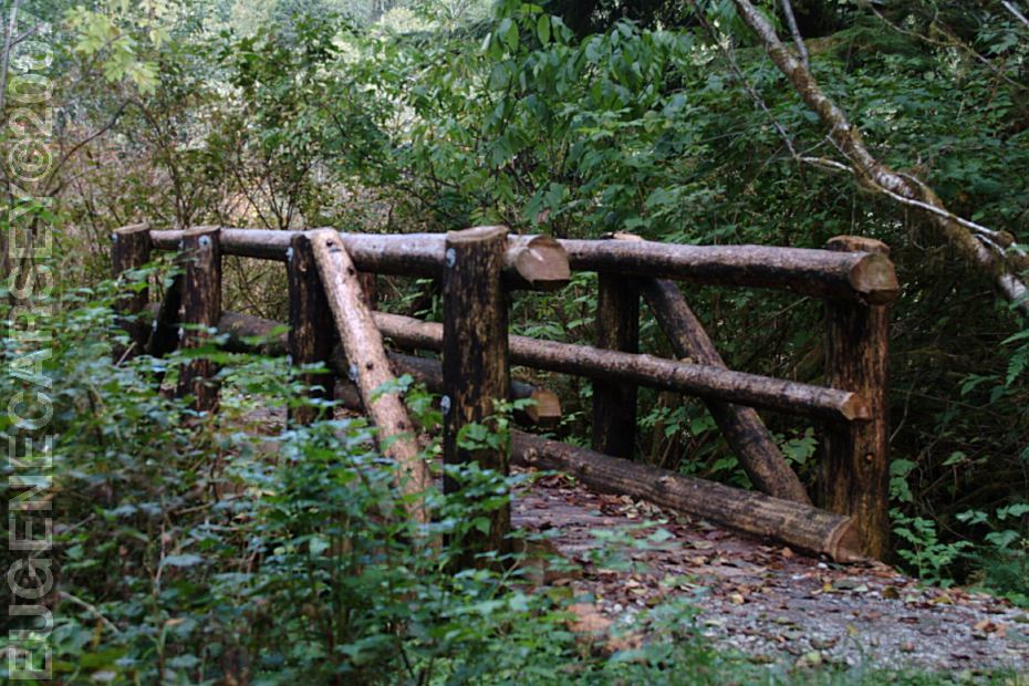
Footbridge at Hoh-Oxbow Campground
April 15 - October 15
Not sure of the exact situation??? 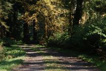
Klahanie Campground
LATITUDE: N 47Ḟ57.756
LONGITUDE: W 124Ḟ18.317
Hwy.101 about a mile north from Forks, WA.
Take Road#29 for 5 miles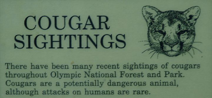
Cougar Sightings in Olympic National Park
General Facts and Safety
General rules and information.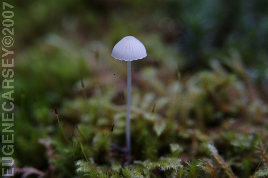
Mushrooms at Hoh-Oxbow Campground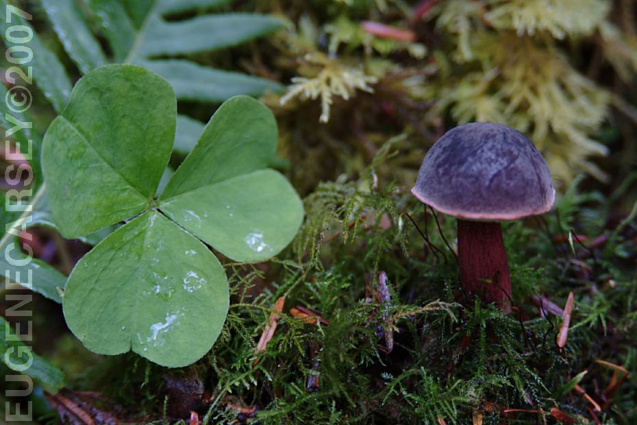
Mushrooms at Hoh-Oxbow Campground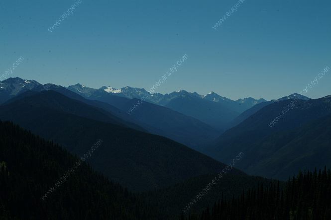
Unknown Location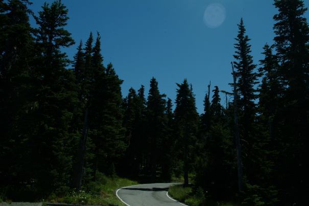
Unknown Location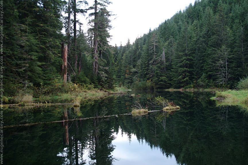
Satsop Lake on Road#2272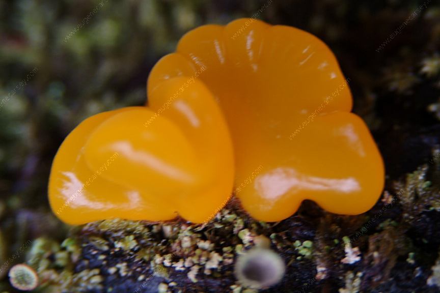
Mushroom at Satsop Lake
LATITUDE: N 47Ḟ24.703
LONGITUDE: W 123Ḟ31.892
Olympic National Forest
Satsop Lake is on Road#2272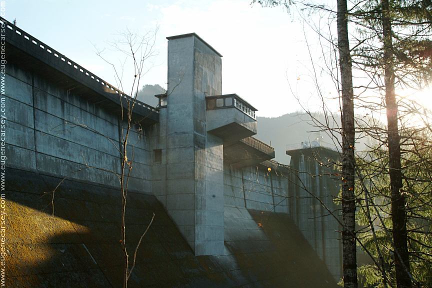
Wynoochee Dam
Unknown Location
COPPERMINE BOTTOM
CAMPGROUND
COTTONWOOD
CAMPGROUND
HOH-OXBOW
CAMPGROUND
MINNIE PETERSON
CAMPGROUND
SOUTH FORK HOH
CAMPGROUND
UPPER
CLEARWATER CAMPGROUND
WILLOUGHBY CREEK
CAMPGROUND
CAMPGROUND INDEX dispersedcampgrounds.com
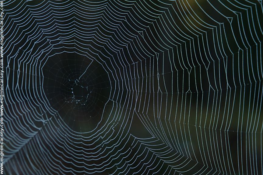
Spider's Web on Road 22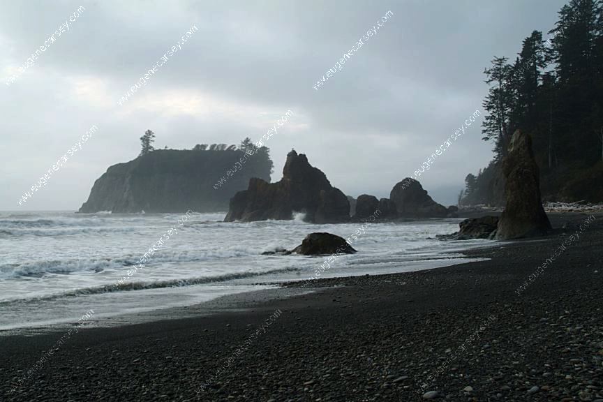
Ruby Beach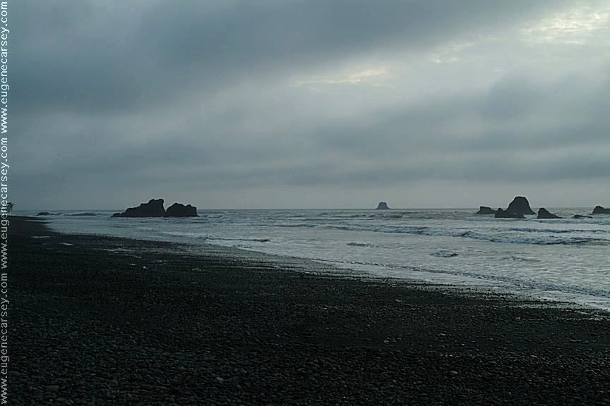
Ruby Beach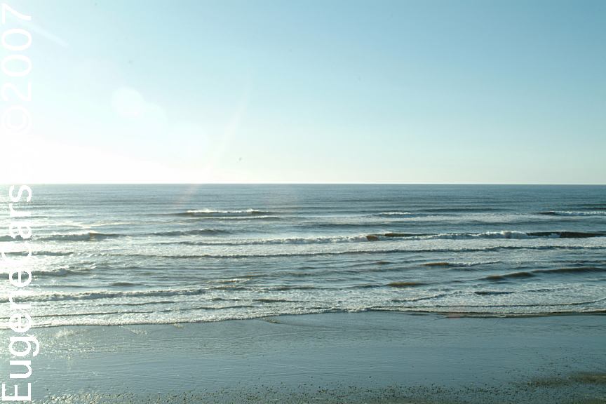
South Beach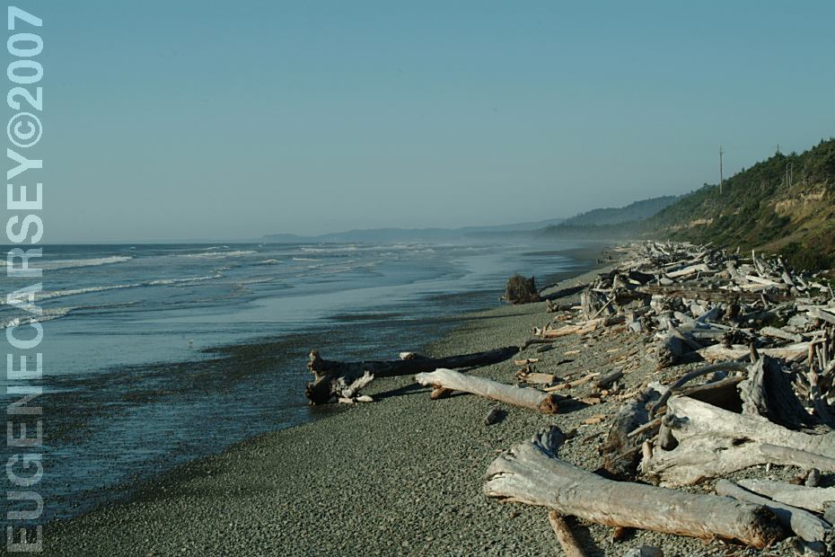
South Beach
South Beach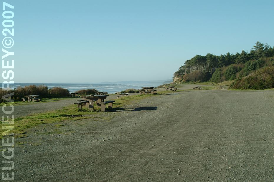
South Beach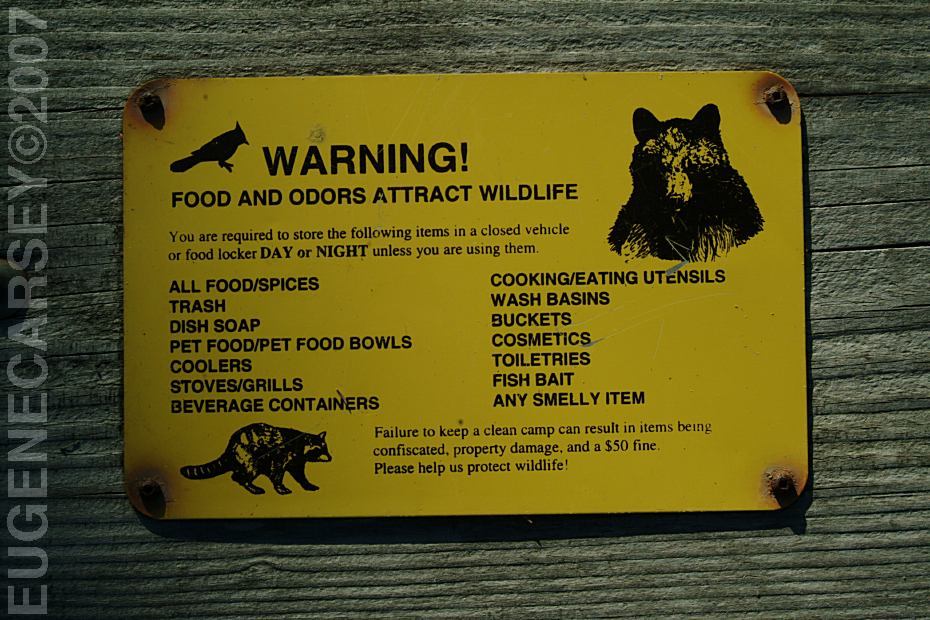
South Beach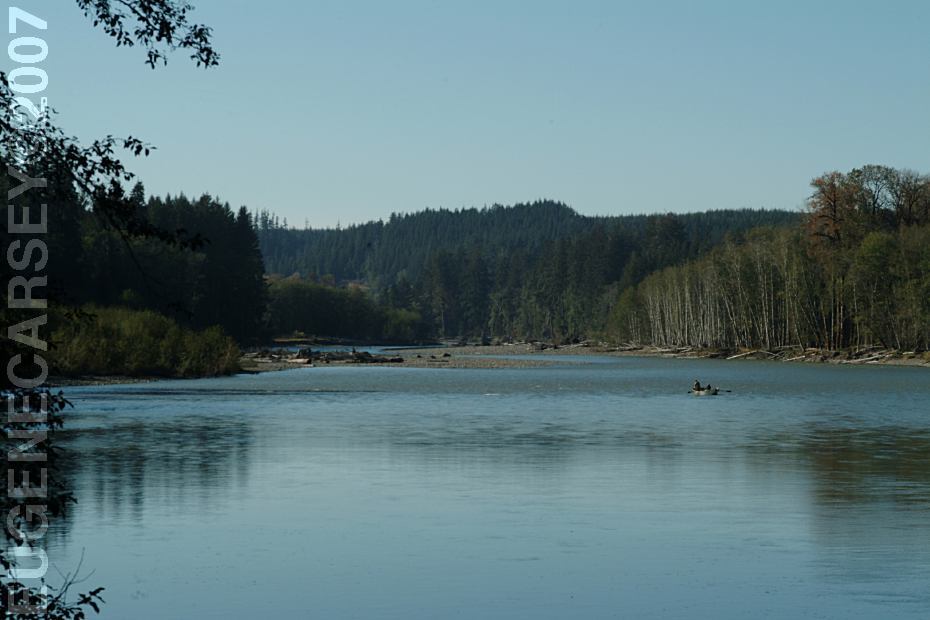
Queets River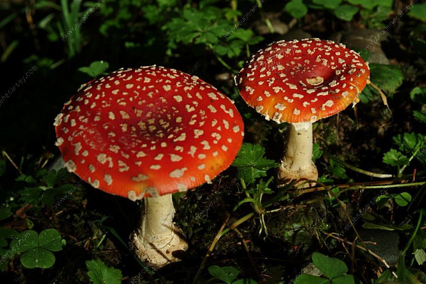
Mushrooms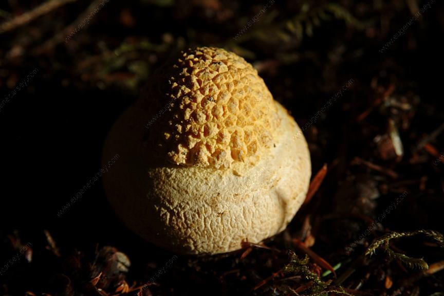
Mushrooms
Complete free campground listing
Free campgrounds and camping
WASHINGTON CAMPGROUND DIRECTORY
OLYMPIC NATIONAL FOREST
HOH-OXBOW CAMPGROUND
