|
|


|
Free campgrounds and camping |
Bring your camera, there are a lot of photos. There is a camping spot at the summit of Dispersed camping in the same area. Vista Point on Road 585
Owl Creek Pass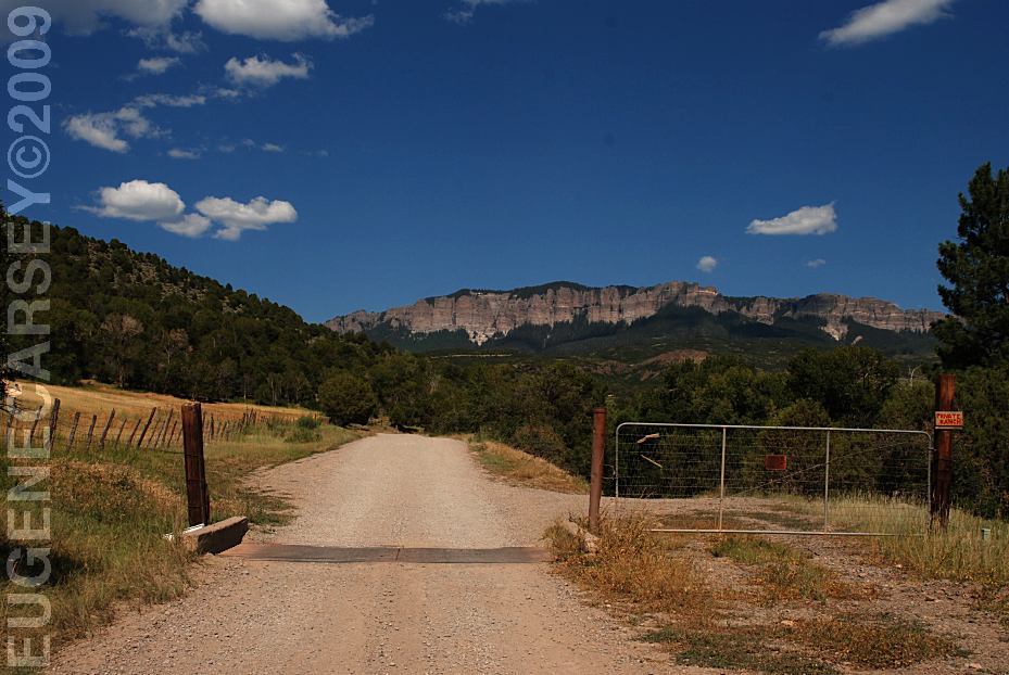
County Road 8 towards Owl Creek Pass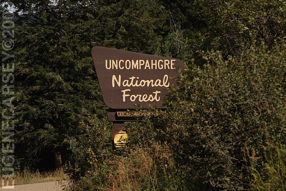
Uncompahgre National Forest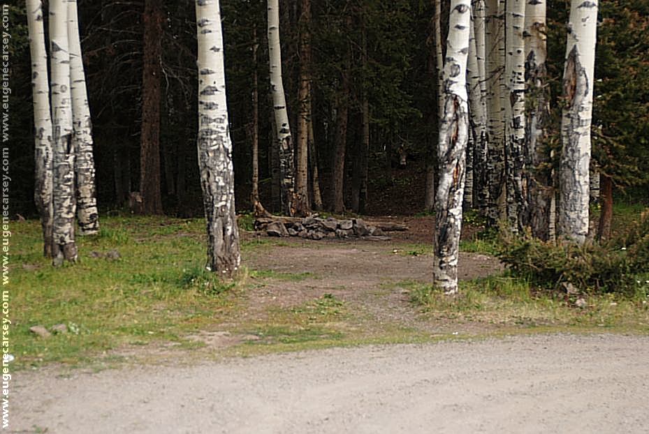
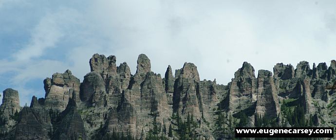
Owl Creek Pass
Owl Creek Pass, with views of the towering
peaks in the background. Owl Creek flows
past your camp. There is even a little outhouse.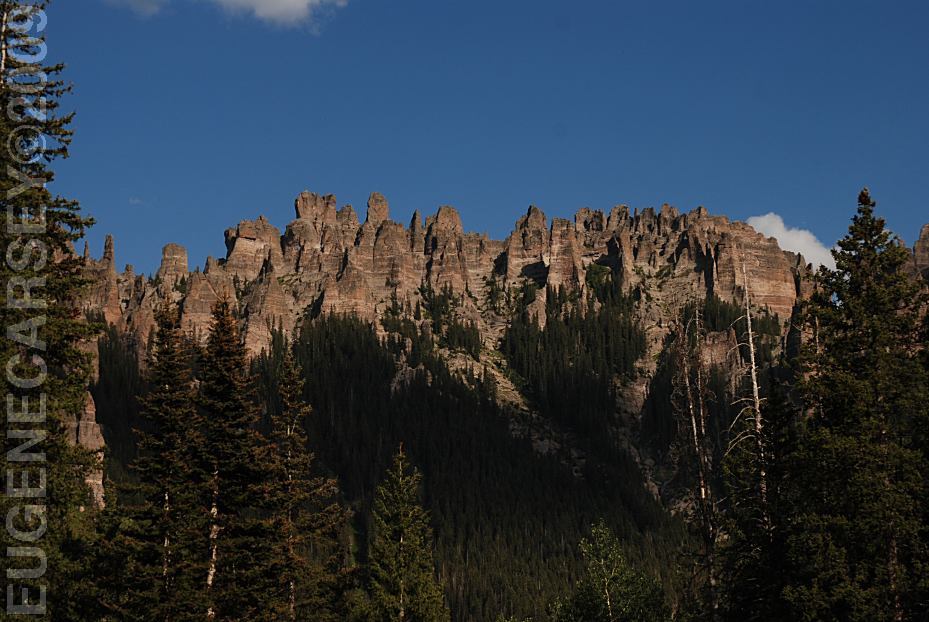
View from Owl Creek Pass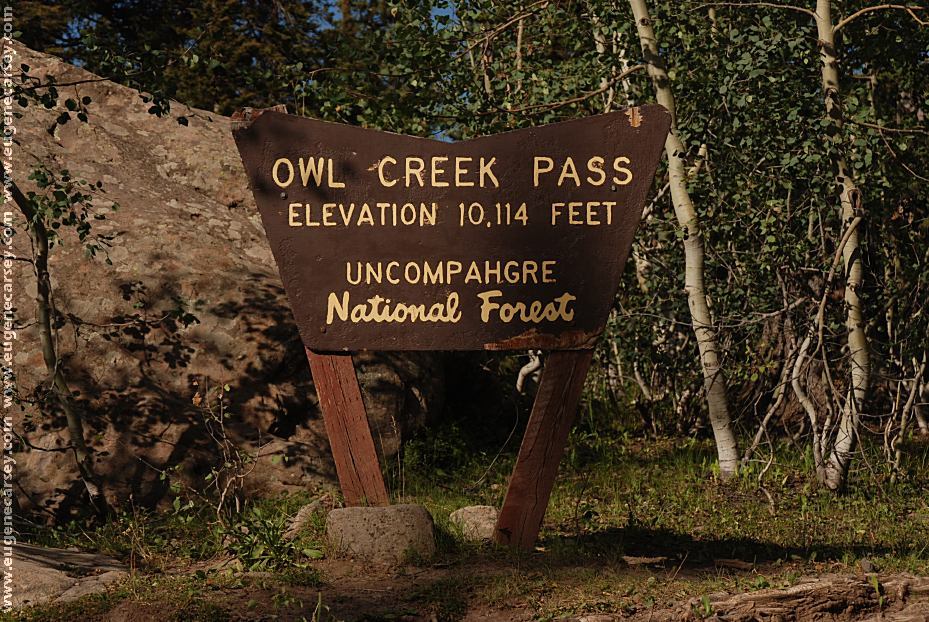
Owl Creek Pass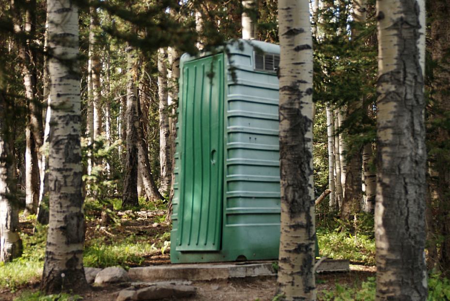
Owl Creek Pass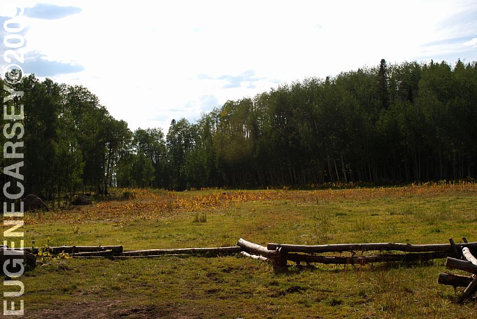
Meadow west from Owl Creek Pass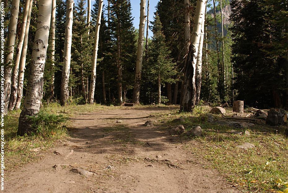
Campsite at the Meadow near Owl Creek Pass
LATITUDE: N 38°09.725
LONGITUDE: W 107°34.096
There is a nice meadow about a mile
west of Owl Creek Pass summit with
some primitive campsites.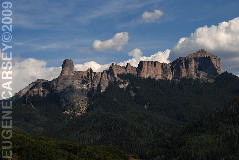
Vista Point on Road 585 towards Owl Creek Pass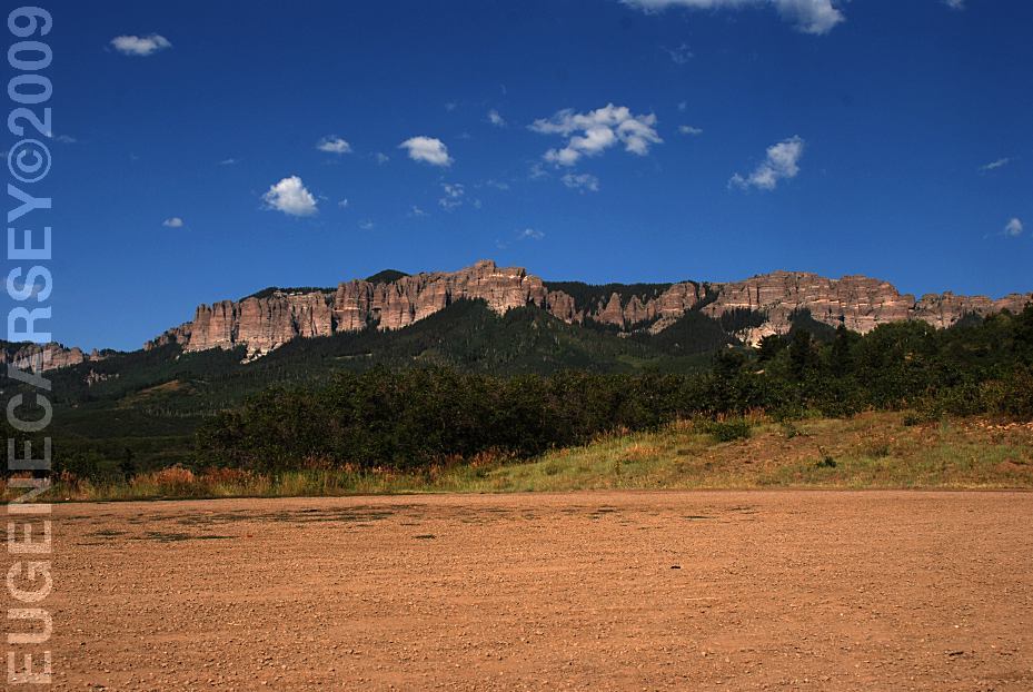
Vista Point on Road 585
LATITUDE: N 38°10.835
LONGITUDE: W 107°37.234
(About 9 miles from Hwy.550)
There were some primitive campsites at
the Vista Point, but you should avoid
camping at trailheads and parking areas.
DIRECTIONS: From Ridgeway, CO There are signs clearly marking the roads ROAD CONDITIONS: There are Moose in the Area... HOW TO STOP A CHARGING MOOSE CIMARRON FORKS
From Montrose, CO
Take Hwy.60 east xx miles
Turn on Road xx
Hwy 550 north 1 1/2 mile
Turn on County Road 10
After a couple miles stay on Road 8
(National forest Boundary about 8 miles)
Continue on Forest Road 858
Owl Creek Summit is about 7 miles
towards Owl Creek Pass. From Hwy.550
it was about 15 miles to the summit.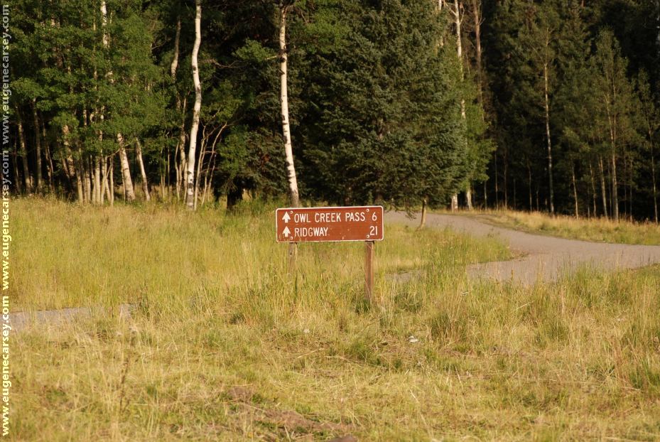
Cimarron Forks
Gravel roads with washboards and such
Mountain grades and curves
Not recommended for RVs
We haven't seen any, but there is a sign
warning hunters to know what they are
shooting.
If a moose charges at you, stand behind
a tree and wave your arms. The moose
will charge straight into the tree and you
have a nice meal... 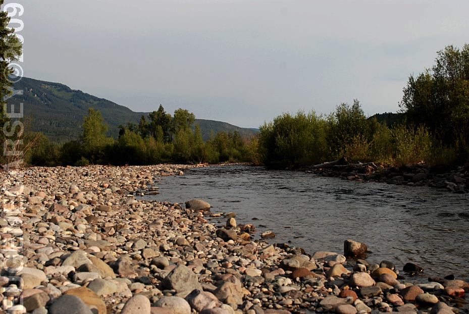
xx River
Cimarron Forks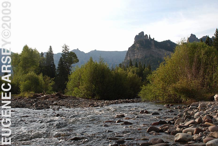
xx River
Cimarron Forks
About 6 miles east from Owl Creek Summit.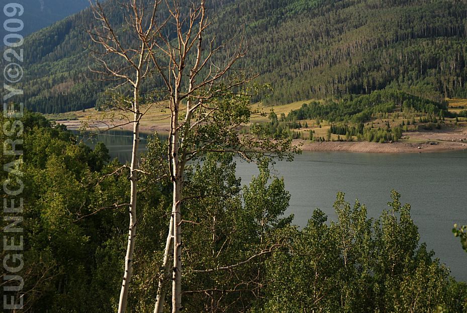
Silver Jack Reservoir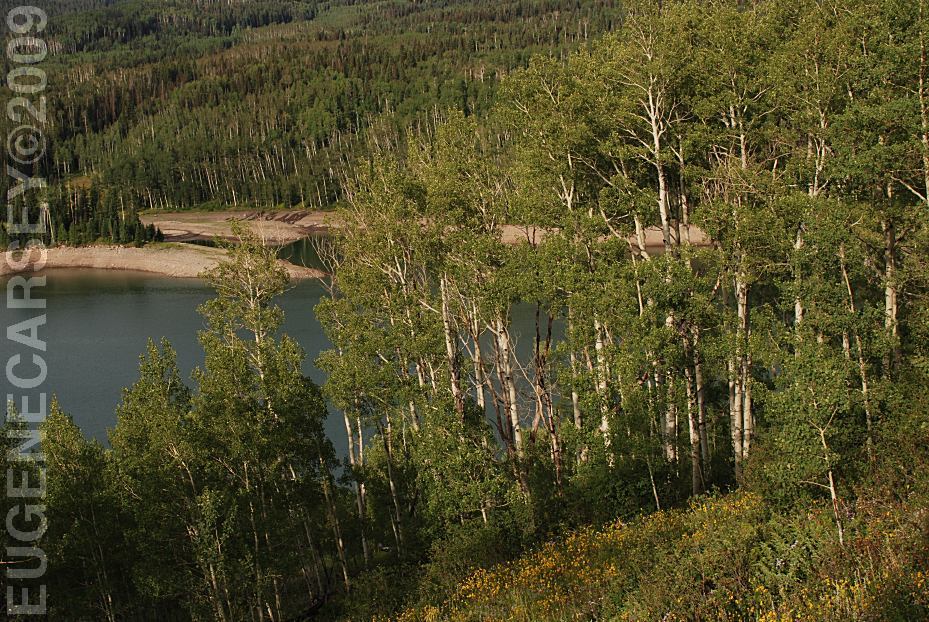
Silver Jack Reservoir
PHOTO HERE SOUTH
MINERAL CREEK ALPINE
LOOP ROAD Also see: CATHEDRAL VALLEY CAMPGROUND INDEX
dispersedcampgrounds.com Free campgrounds and camping
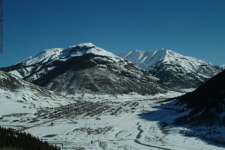
Silverton, Colorado (January 2005)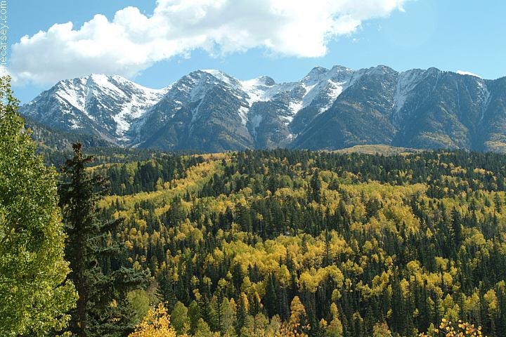
Highway 550 near Silverton, Colorado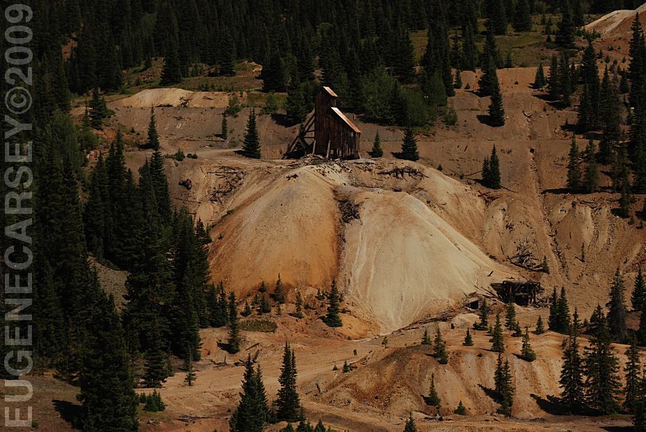
Historic Mining Structures
Hwy.550 MP82
About 12 miles north from Silverton
The river runs blood red...
Very scary looking.
Hwy.550 MP82
About 12 miles north from Silverton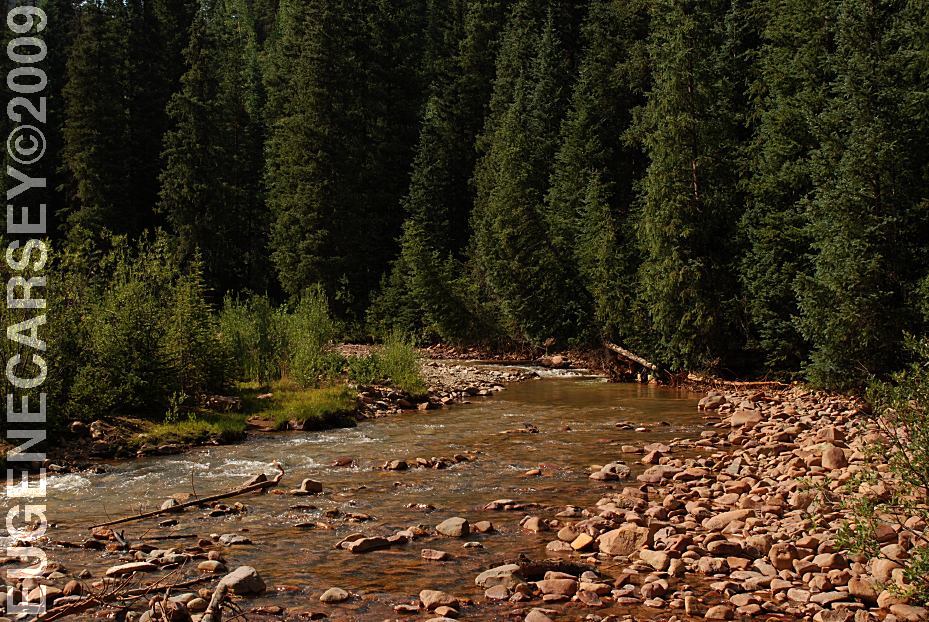
South Mineral Creek
Highway 550 North from Silverton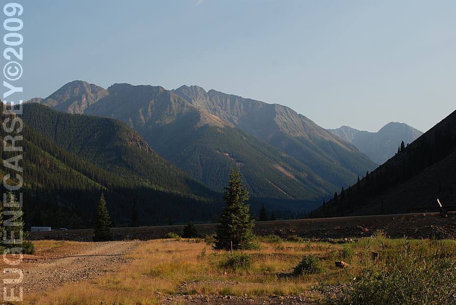
View from Eureka
Alpine Loop Road east from Silverton, CO.
Dispersed camping and rugged mountain views.
Road towards Gates Of Lodore
Also see: CORAL
PINK SAND DUNES
Also see: GATES
OF LODORE
Also see: GOOSENECKS
SP
Also see: TARRYALL
MOUNTAINS
Also see: VALLEY OF THE GODS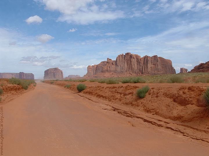
Monument Valley Navajo Park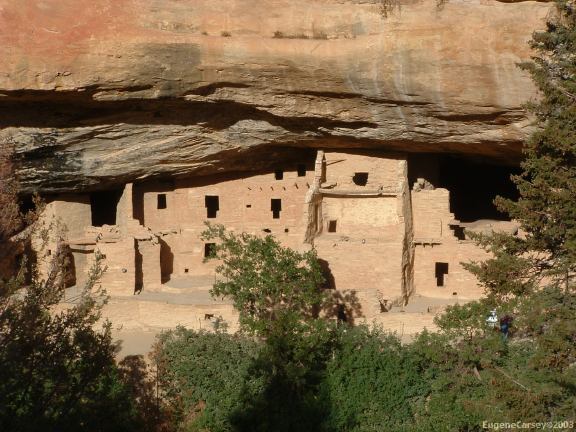
Mesa Verde National Park
(West from Durango, Colorado)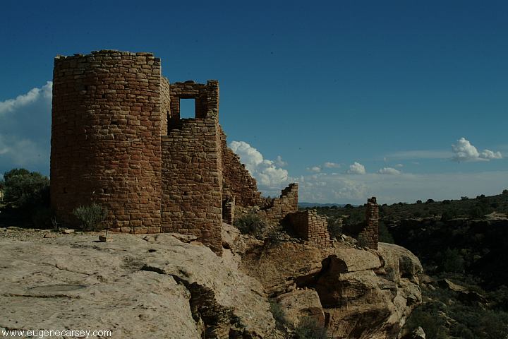
Hovenweep National Monument
(West from Durango, Colorado)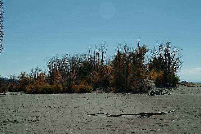
Great Sand Dunes National Park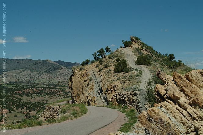
Skyline Drive
Four Corners Monument
Complete free campground listing
Camped here August 15, 2005
Camped here August 12, 2009
COLORADO CAMPGROUND DIRECTORY
UNCOMPAHGRE NATIONAL FOREST
OWL CREEK PASS
