|
|


|
Free campgrounds and camping
|
|
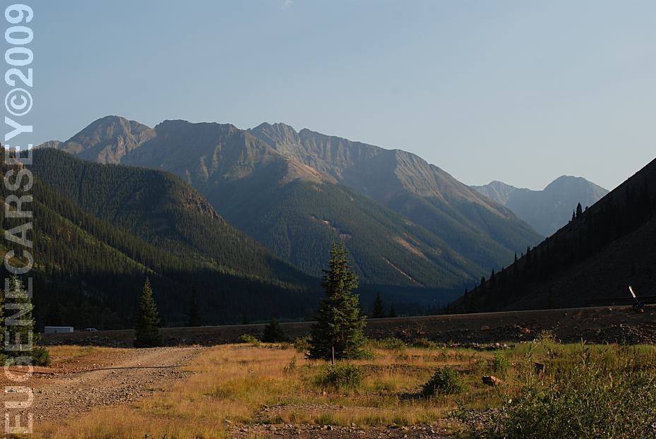
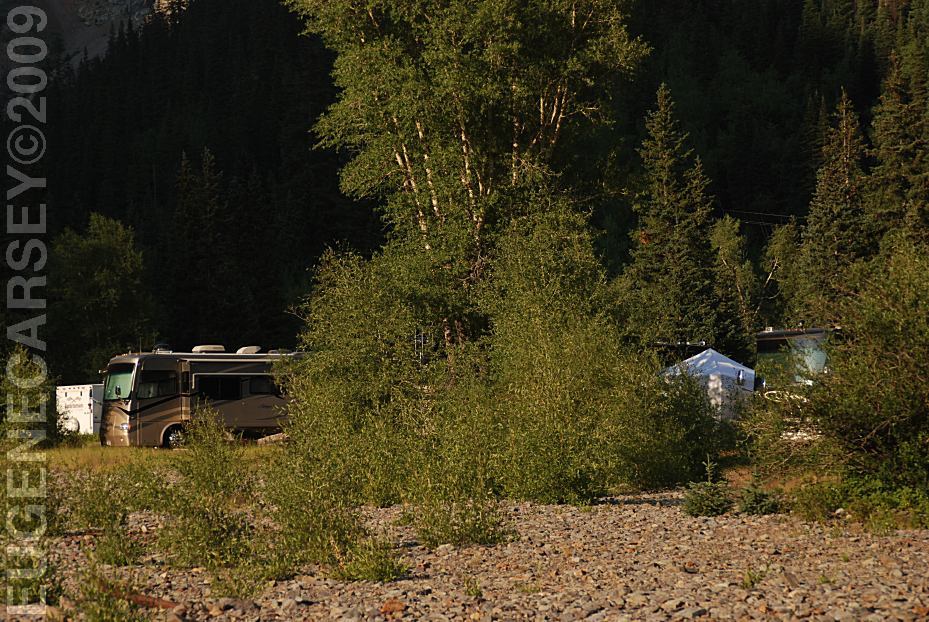
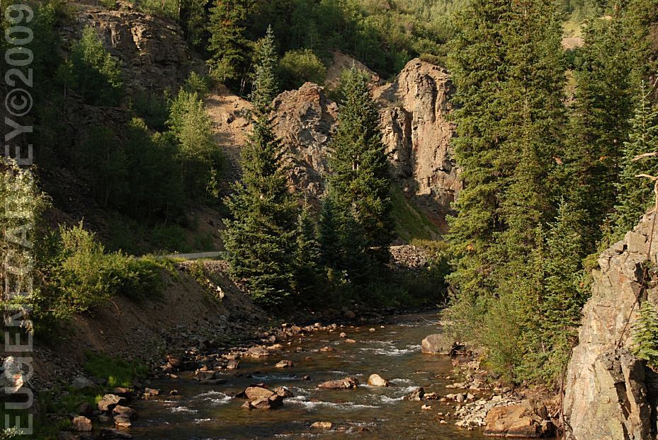
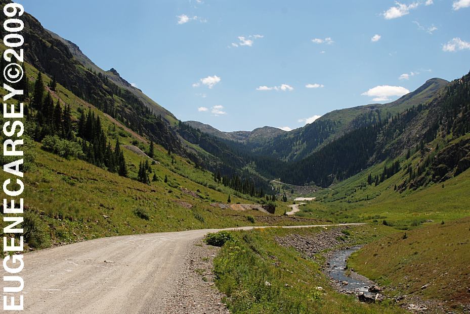
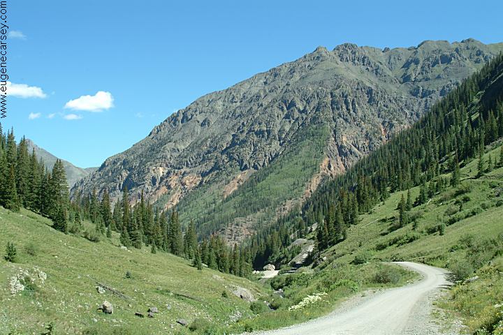
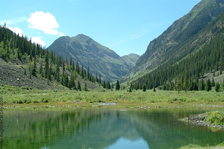
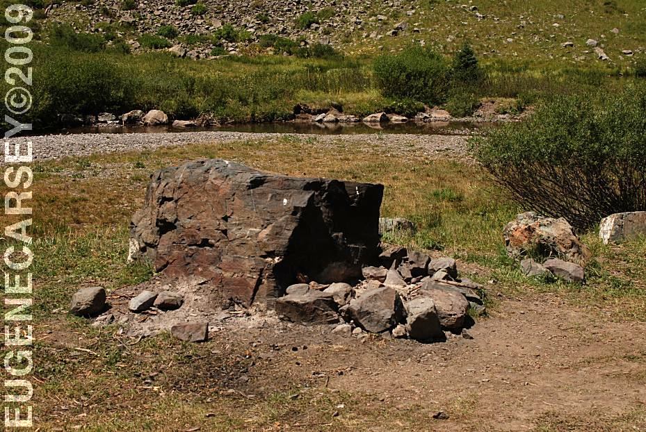
Surrounded by rugged mountains...
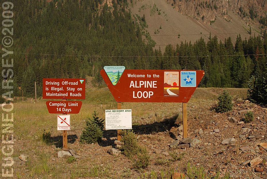
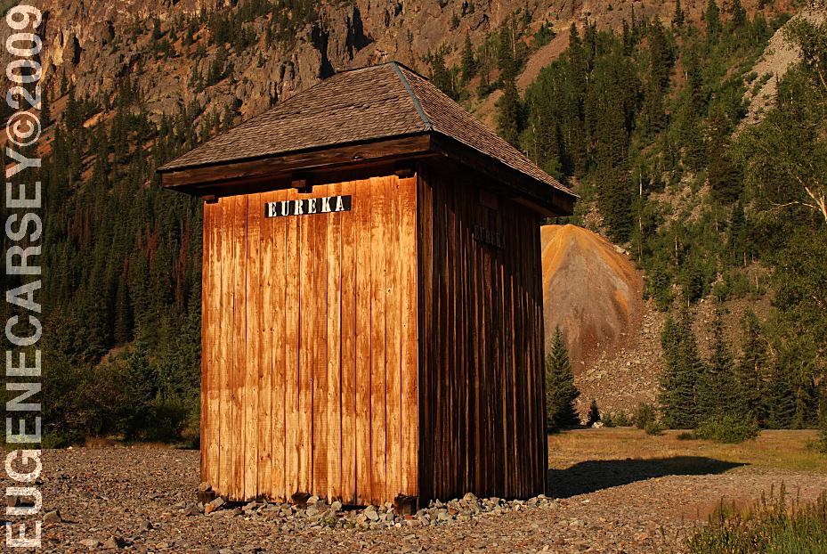
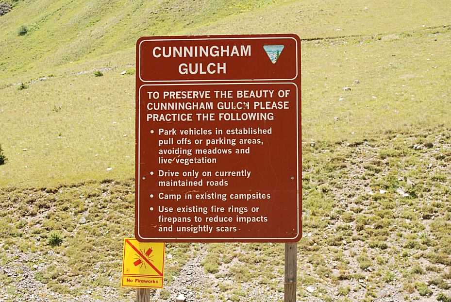
Camping Limit 14 Days Vaulted Toilets on Alpine Loop Road 2
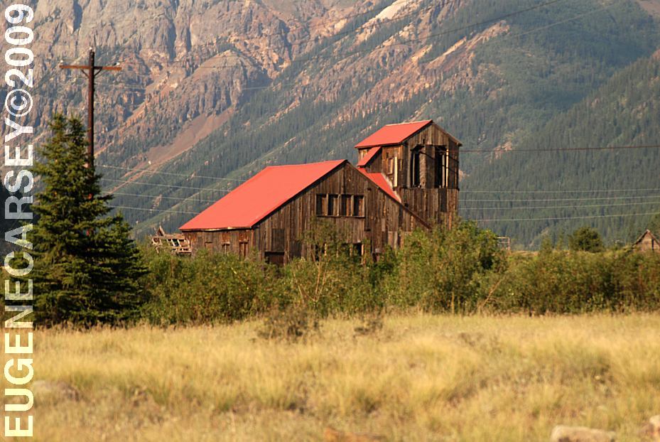
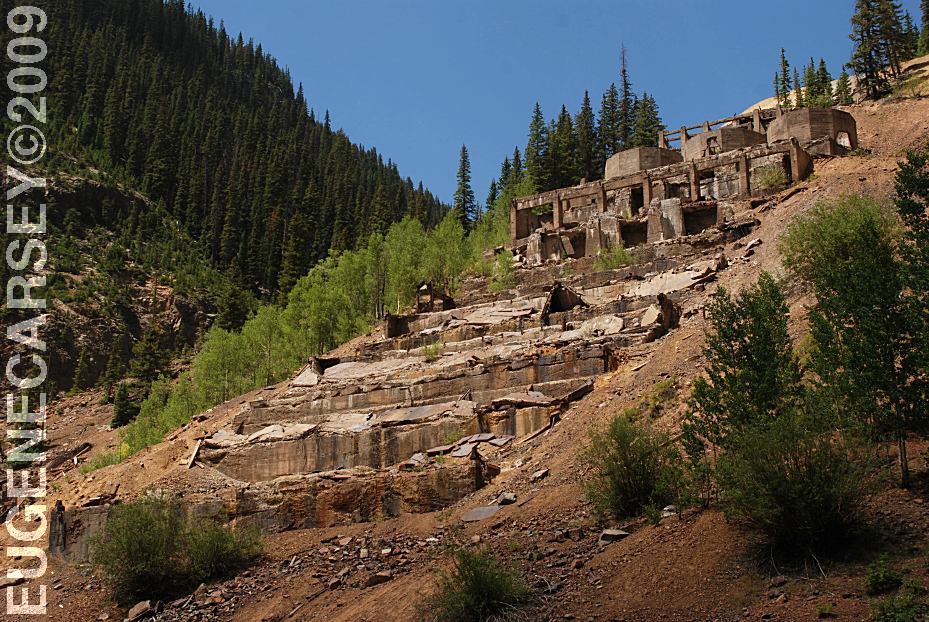
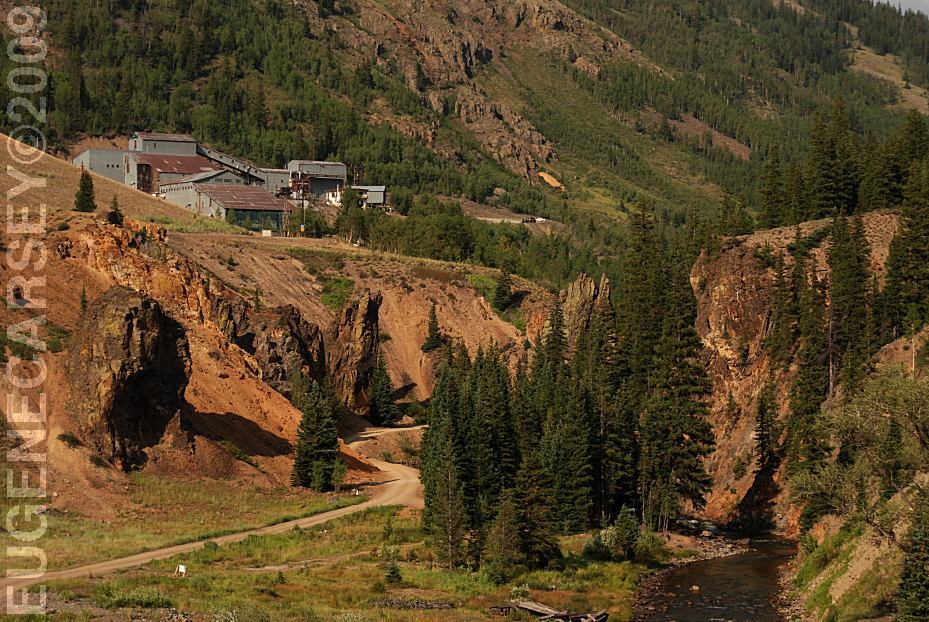
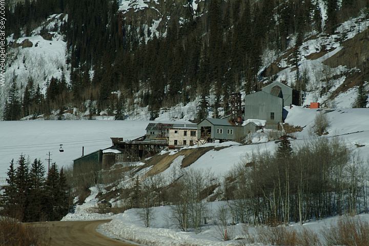
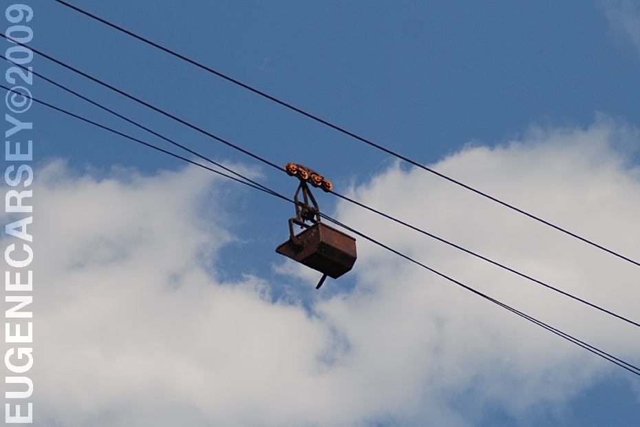
Old Hundred Gold Mine There are old structures, foundations and
evidence |
|
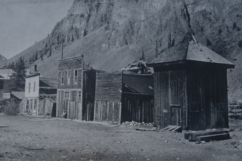
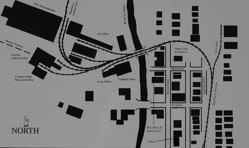
Silverton is a designated National Historic
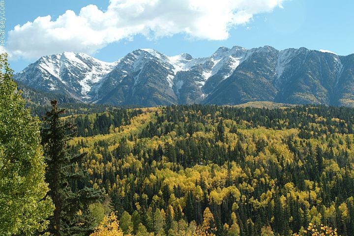
The fall foliage was spectacular as the |
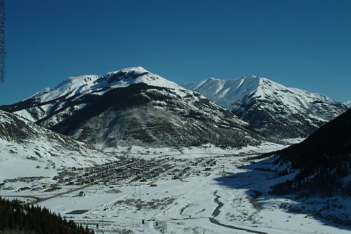
DIRECTIONS: ROAD CONDITIONS: Silverton is 9,318' above Sea Level Located in the San Juan National Forest
From Durango, CO
Take Highway 550 north
Silverton is about 50 miles.
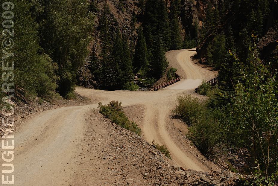
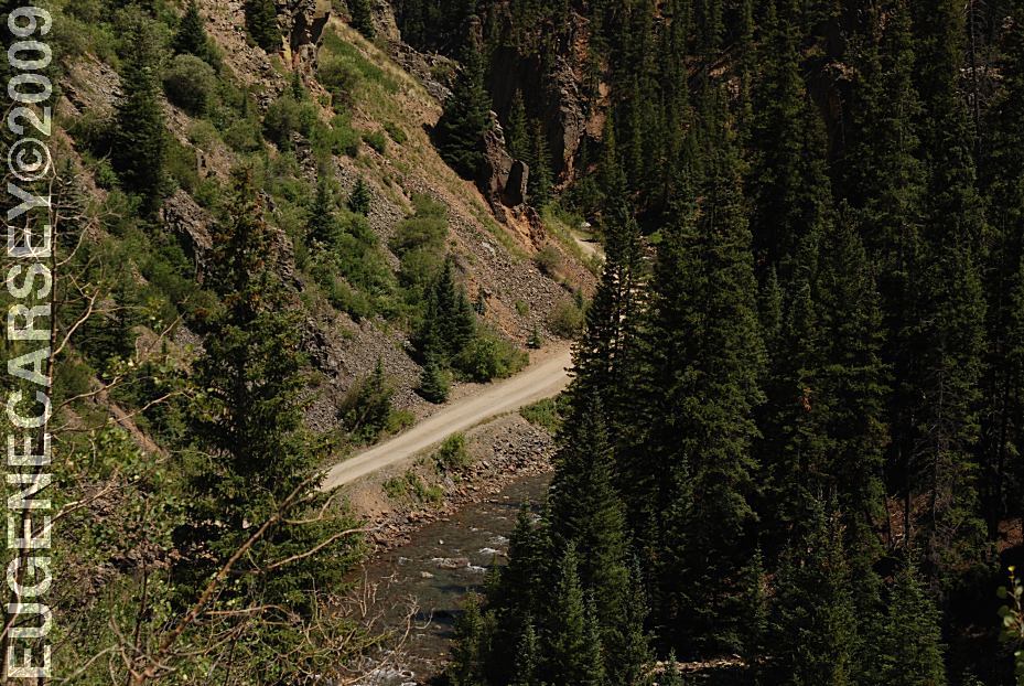
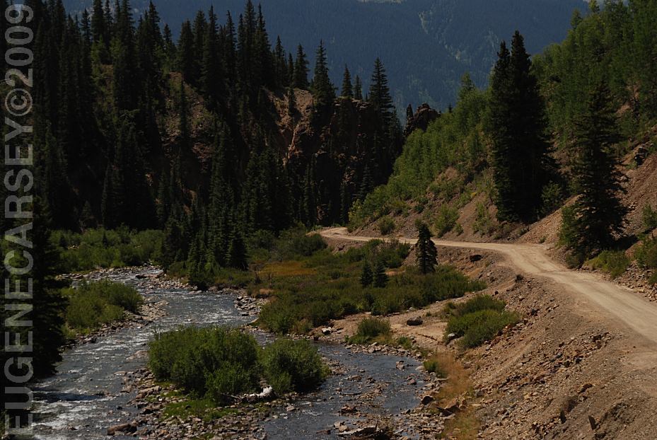
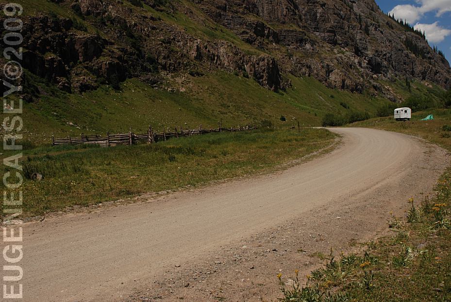
Take County Road 2 east from Silverton.
Eureka about xx miles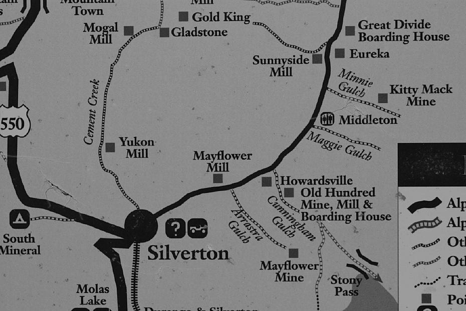
Alpine Loop Map
Maintained dirt roads first xx miles
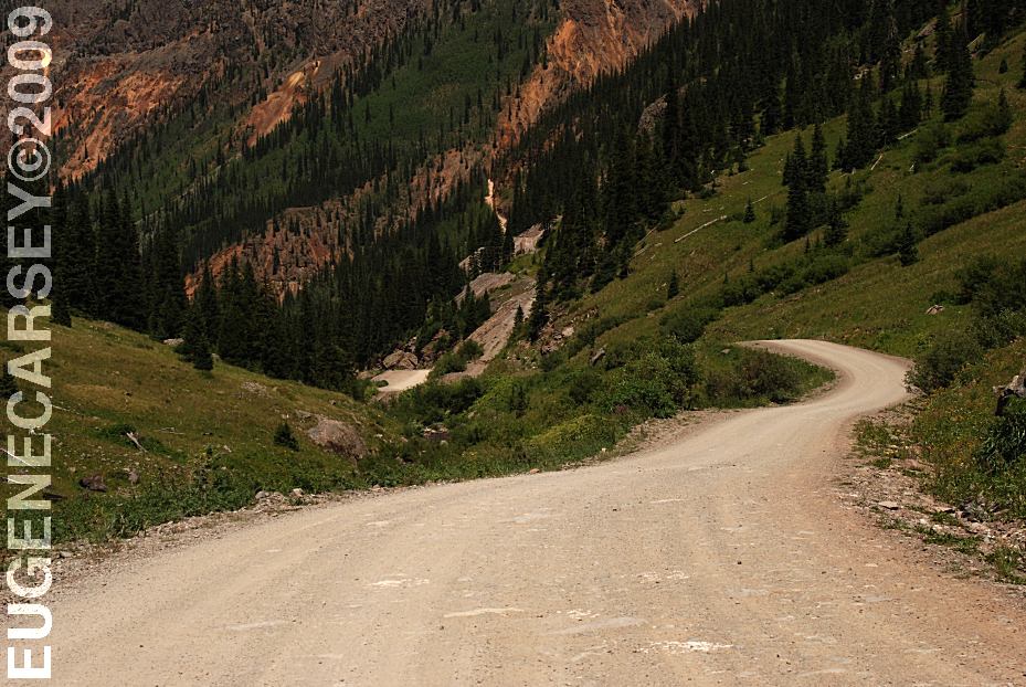
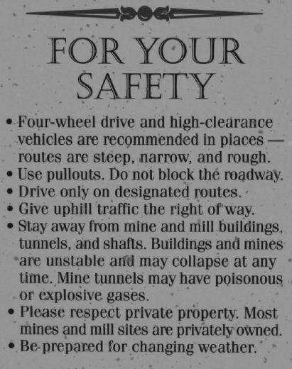
4x4 recommended on Alpine Loop past Eureka...
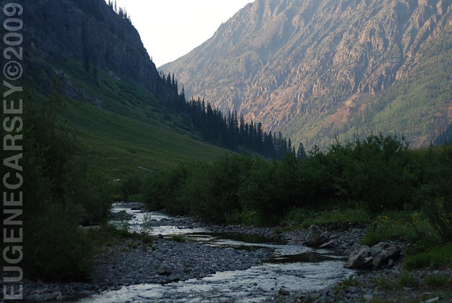
Heavy snow and freezing temperatures
in winter months.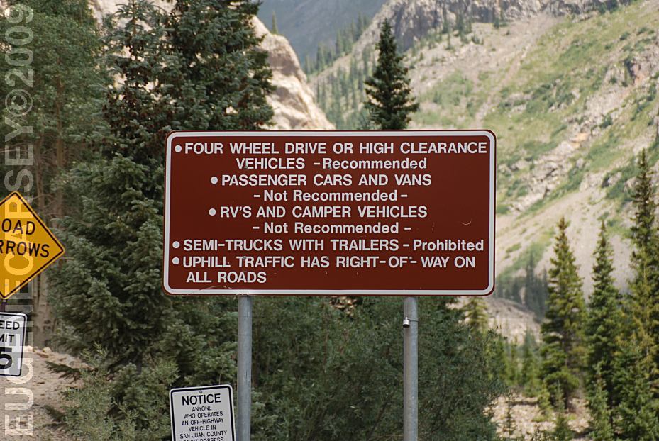
Warning Sign east from Eureka
4x4 recommended
Average annual snowfall is 200 inches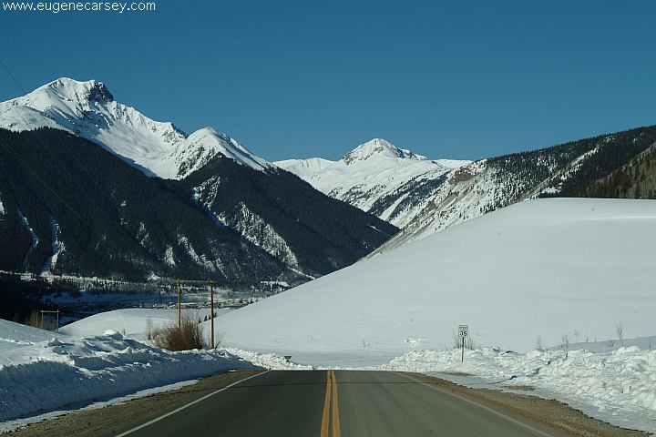
Hwy. 550 North of Silverton
in the rugged San Juan Mountains. 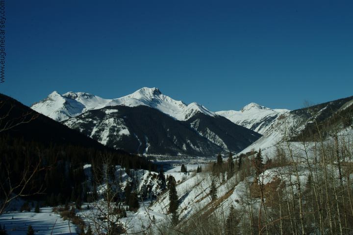
Hwy. 550 North of Silverton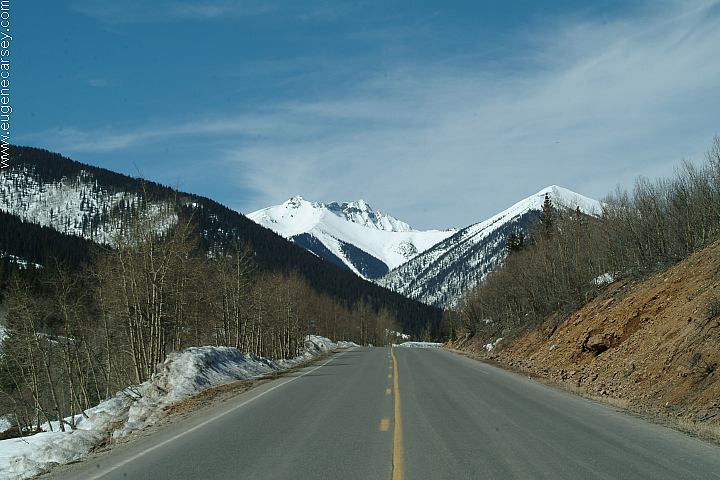
Hwy. 550 North of Silverton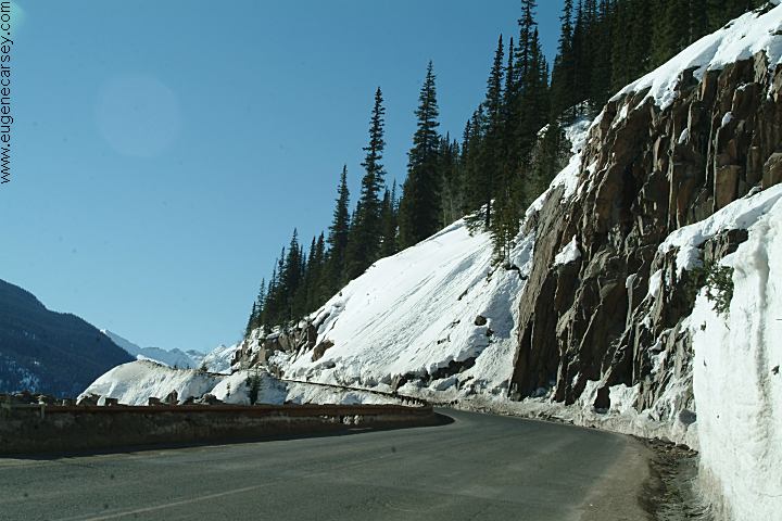
Hwy. 550 South of Silverton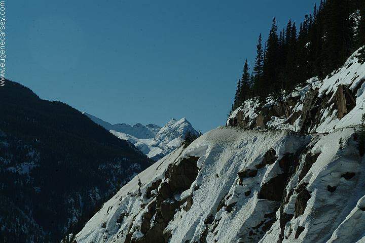
Hwy. 550 South of Silverton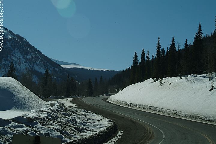
Hwy. 550 South of Silverton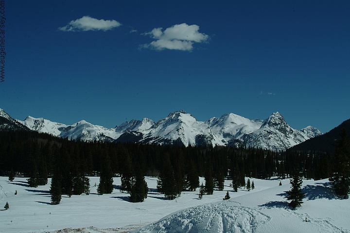
South from Silverton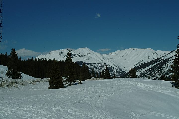
Mountains near Silverton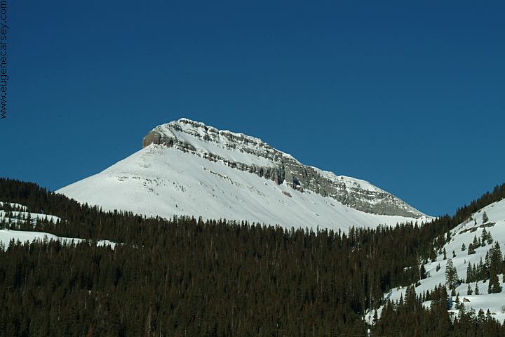
Mountains near Silverton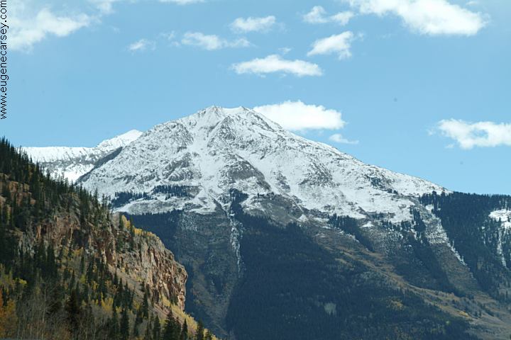
Mountains near Silverton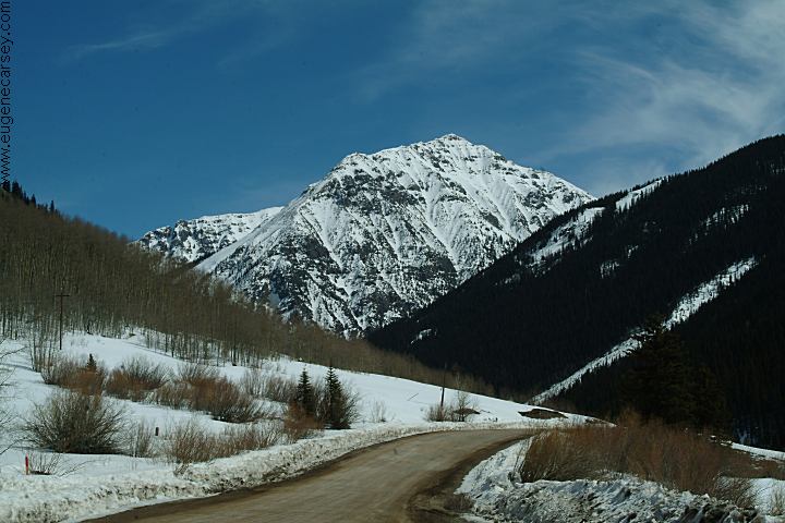
Near Silverton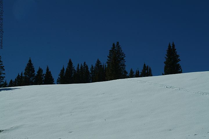
From Hwy.550 south of Silverton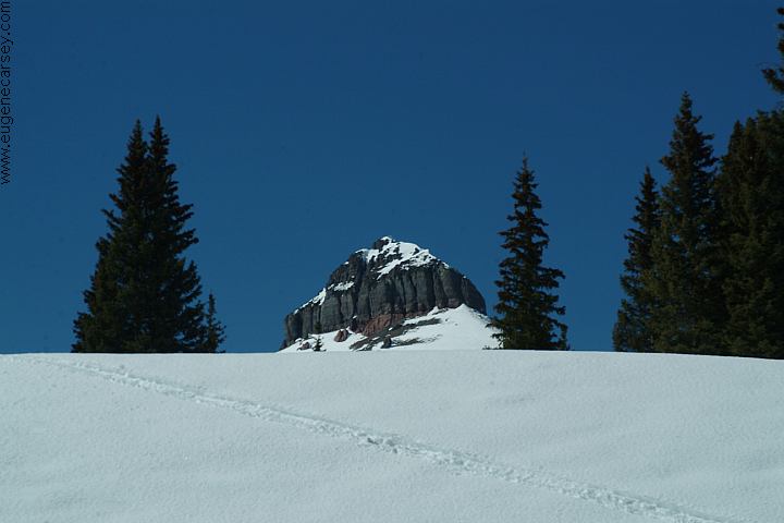
From Hwy.550 south of Silverton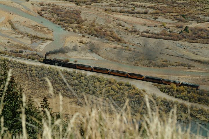
Passenger Train heading towards Silverton
Durango and Silverton Railroad
ESTABLISHED CAMPGROUNDS ANIMAS FORKS GHOST TOWN PHOTO HERE OWL CREEK
PASS CIMARRON
FORKS Also see: BISTI WILDERNESS PHOTO HERE CAMPGROUND INDEX dispersedcampgrounds.com Camped here 2004 LINKS: dispersedcampgrounds.com
Established campgrounds near Silverton
MOLAS LAKE CAMPGROUND
Situated on Molas Lake surrounded by
towering mountain peaks.
More information and photos soon...
4x4 recommended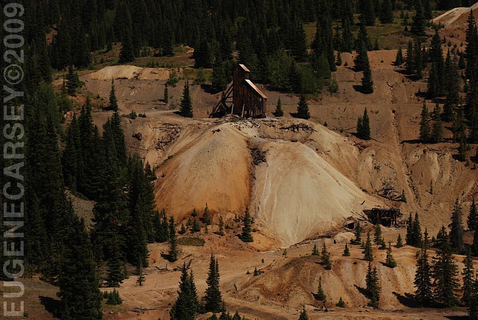
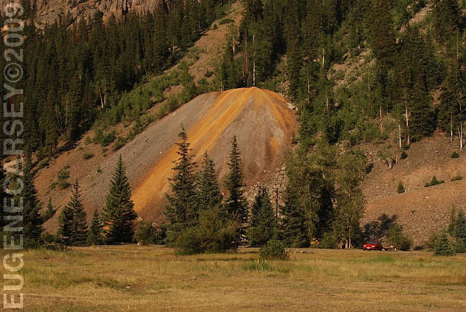
Historic Mining Structures
Hwy.550 MP82
About 12 miles north from Silverton
The river runs blood red...
Very scary looking.
Hwy.550 MP82
About 12 miles north from Silverton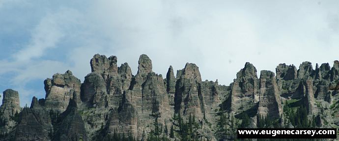
Owl Creek Pass
Owl Creek Pass is north from Silverton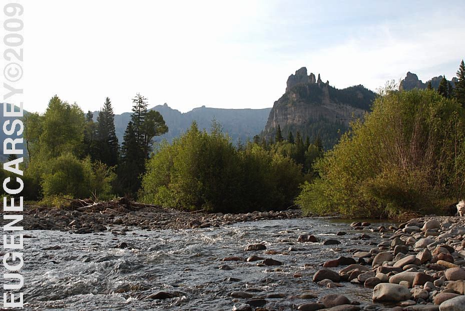
xx River
Cimarron Forks
East from Owl Creek Pass
Also see: BUCKLES LAKE
Also see: CATHEDRAL
VALLEY
Also see: CORAL
PINK SAND DUNES
Also see: GATES
OF LODORE
Also see: GOOSENECKS
SP
Also see: GRAND
MESA NF / ROAD 121
Also see: OWL
CREEK PASS
Also see: TARRYALL
MOUNTAINS
Also see: VALLEY OF THE GODS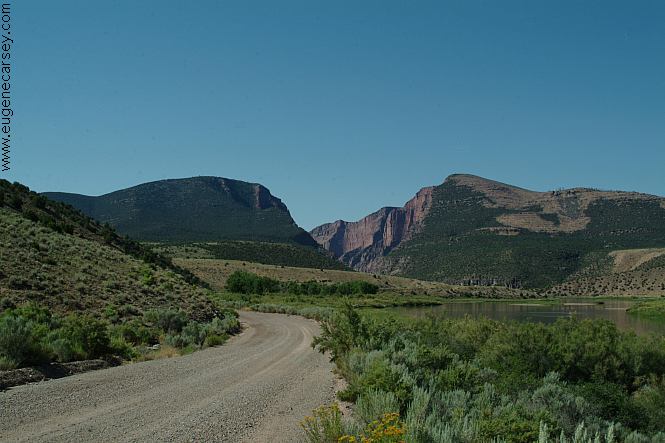
Road towards Gates Of Lodore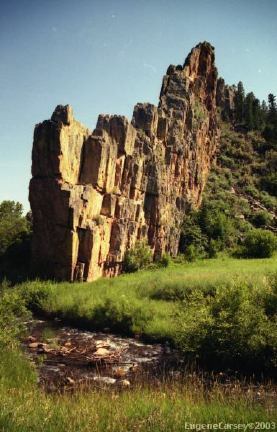
Stonewall, CO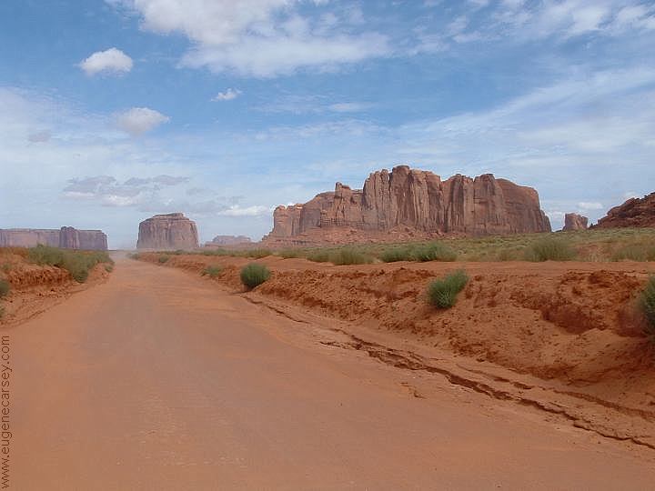
Monument Valley Navajo Park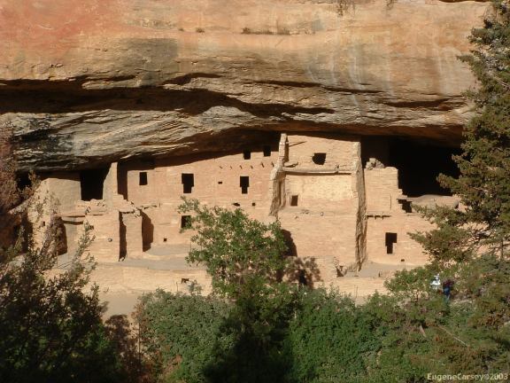
Mesa Verde National Park
(West from Durango, Colorado)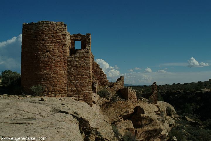
Hovenweep National Monument
(West from Durango, Colorado)
Black Canyon of the Gunnison National Park
Great Sand Dunes National Park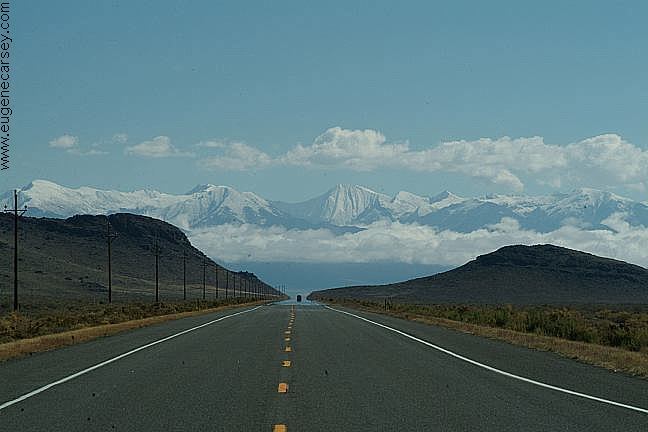
Highway 285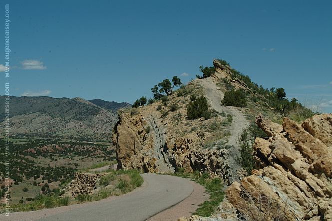
Skyline Drive
Four Corners Monument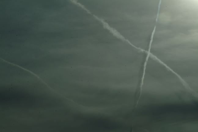
Funny clouds filled the sky
Complete free campground listing
Camped here 2005
Camped here August 10, 2009
At night the temperatures dropped below freezing.
http://www.silvertoncolorado.com
Free campgrounds and camping
COLORADO CAMPGROUND DIRECTORY
SAN JUAN NATIONAL FOREST
ALPINE LOOP ROAD
SILVERTON, COLORADO
