|
IT IS YOUR RESPONSIBILITY TO
KNOW
WHAT FIRE RESTRICTIONS ARE IN EFFECT
Axe, shovel, and 5 gallons of water recommended
and might be required. Fire extinguisher and gloves
are a good idea.
DIRECTIONS:
From Highway 95
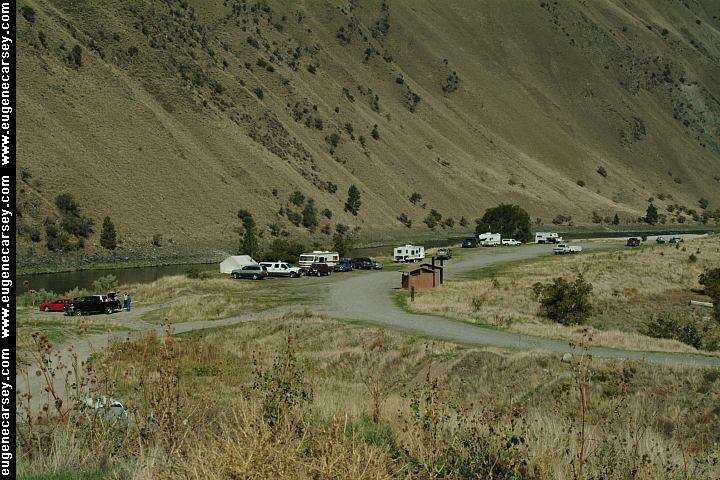
At Riggins turn east on Big Salmon Road
Camp areas within a couple miles...
ROAD CONDITIONS:
Big Salmon Road is paved surface
Camp areas are dirt surfaces.
There are some rough areas to be avoided.
FOR MORE INFORMATION:
Bureau of Land Management
Cottonwood Field Office
1 House Butte Drive
Cottonwood, Idaho 83522
208-962-3245
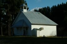
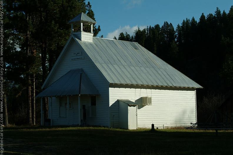
School House from early 1900's
Bear, Idaho / Payette National Forest
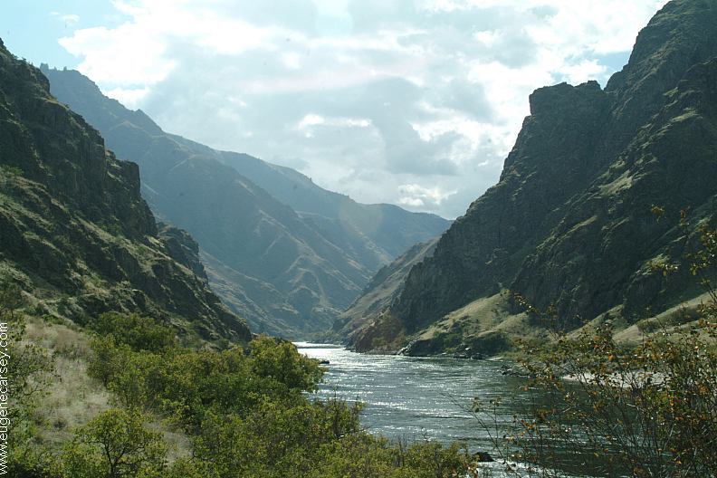
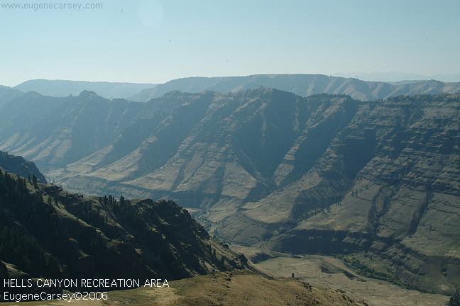
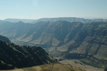
Hells
Canyon Facts and Information
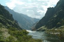
Pittsburg Landing
Road#050 towards Road#454
Road#050 towards Road#454
Also see: BALM CREEK
RESERVOIR
Also see: BOULDER PARK
Also see: BOUNDARY CAMPGROUND
Also see: BUCK
CREEK
Also see: HAT
POINT
Also see: HEAVENS GATE
Also see: HELLS CANYON OVERLOOK
Also see: HOMESTEAD
ROAD
Also see: LOSTINE RIVER
Also see: McCULLY FORKS
Also see: NORTH FORK IMNAHA RIVER
Also see: PITTSBURG
LANDING
Also see: TWIN LAKES
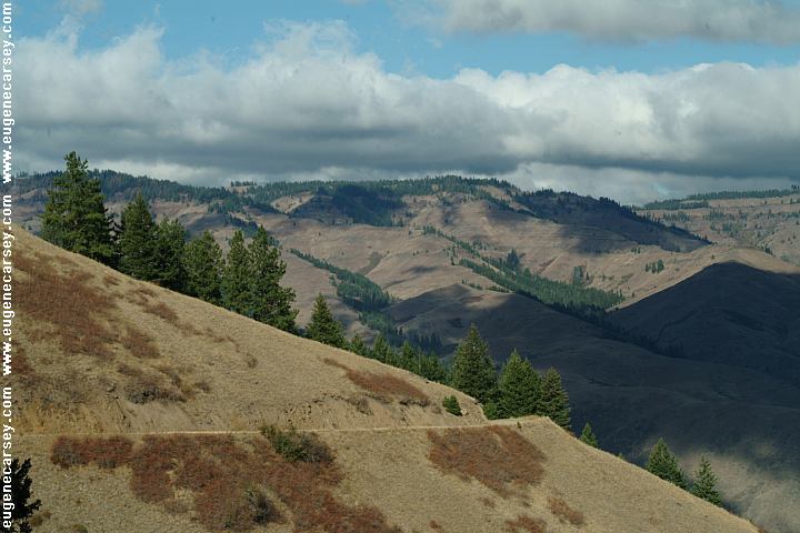
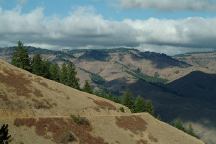
Towards Hat Point (Oregon)
CAMPGROUND INDEX
Complete free campground listing
CAMPING ADVICE AND TIPS
TOURIST
PHOTOS

www.eugenecarsey.com
dispersedcampgrounds.com
Free campgrounds and camping
IDAHO CAMPGROUND DIRECTORY
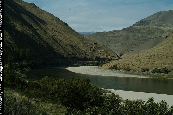
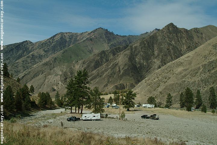
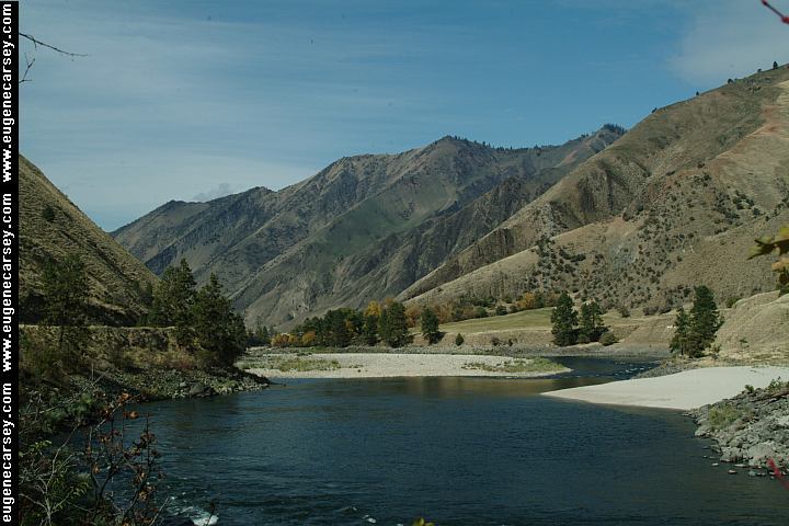
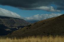
BIG SALMON ROAD
LOWER SALMON RIVER
|