|
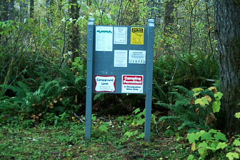
ESTABLISHED CAMPGROUNDS
Established campgrounds in Siuslaw National Forest
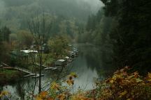
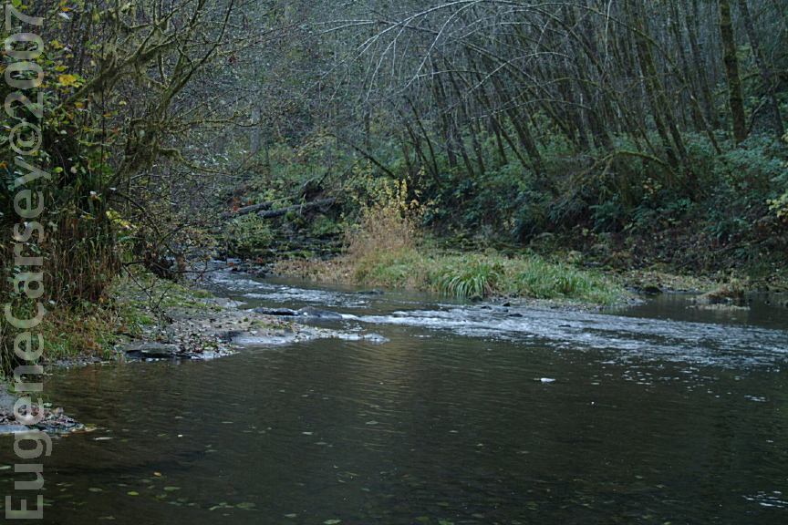
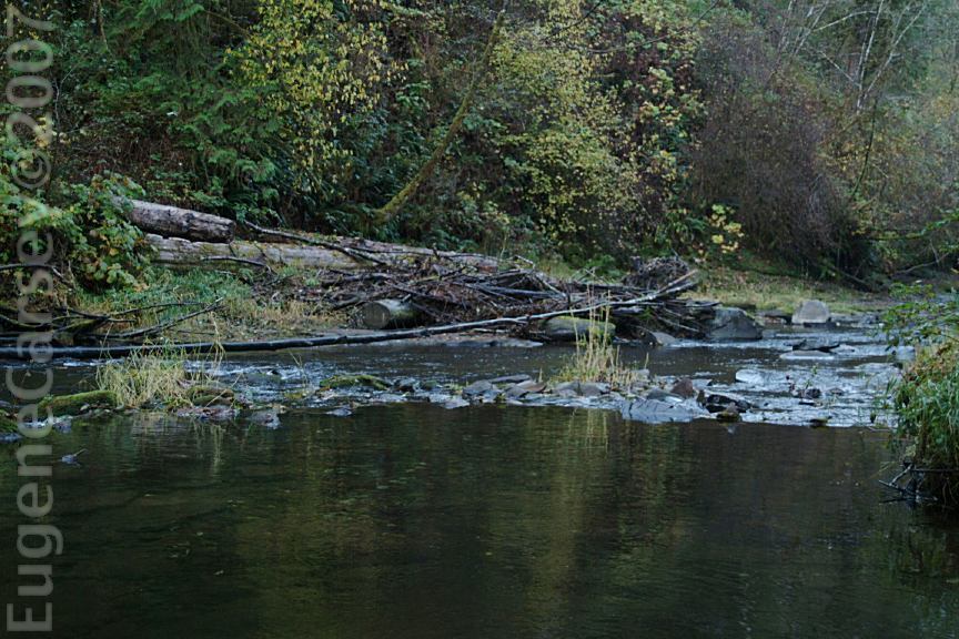
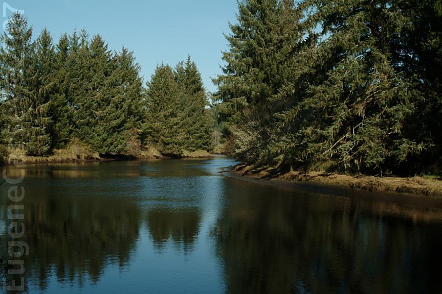
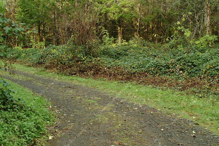
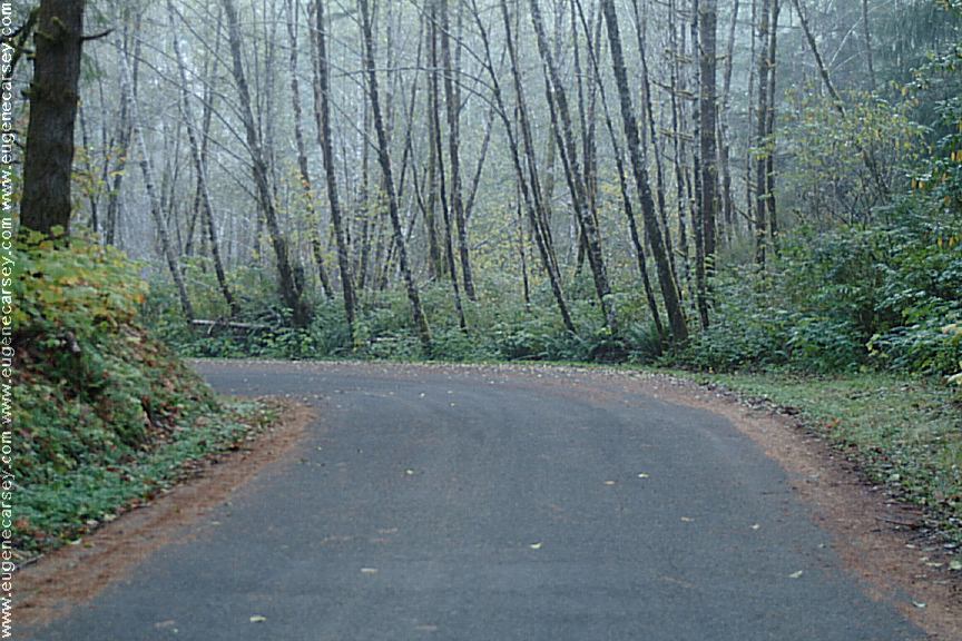
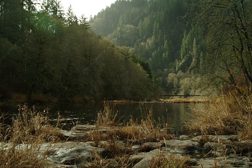
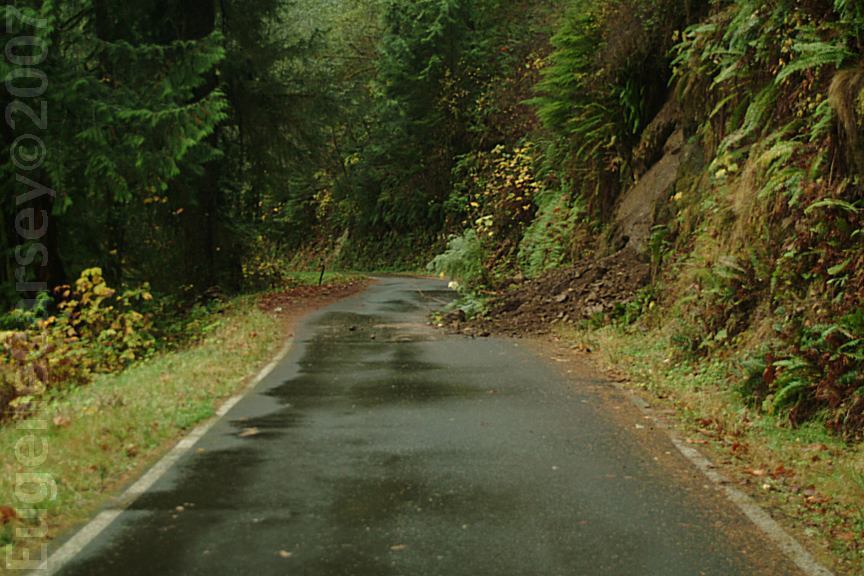
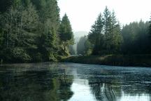
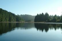
Alsea River viewed from Canal Creek Road
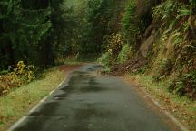
Mud Slide on Canal Creek Road
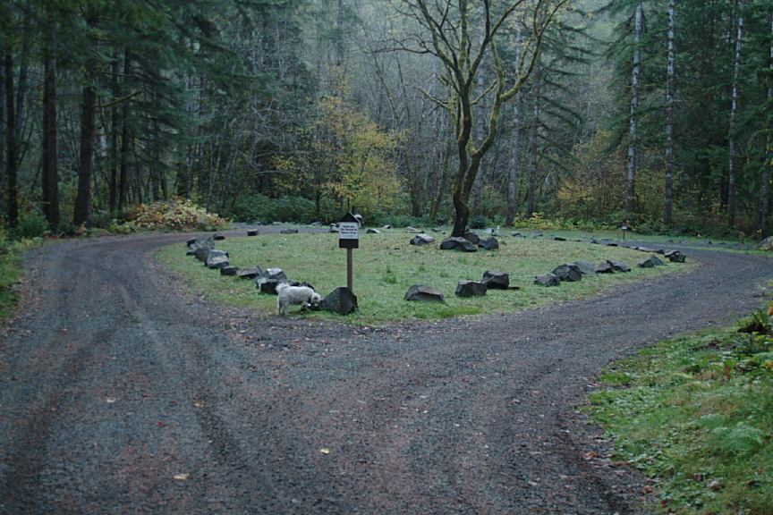
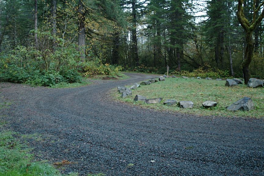
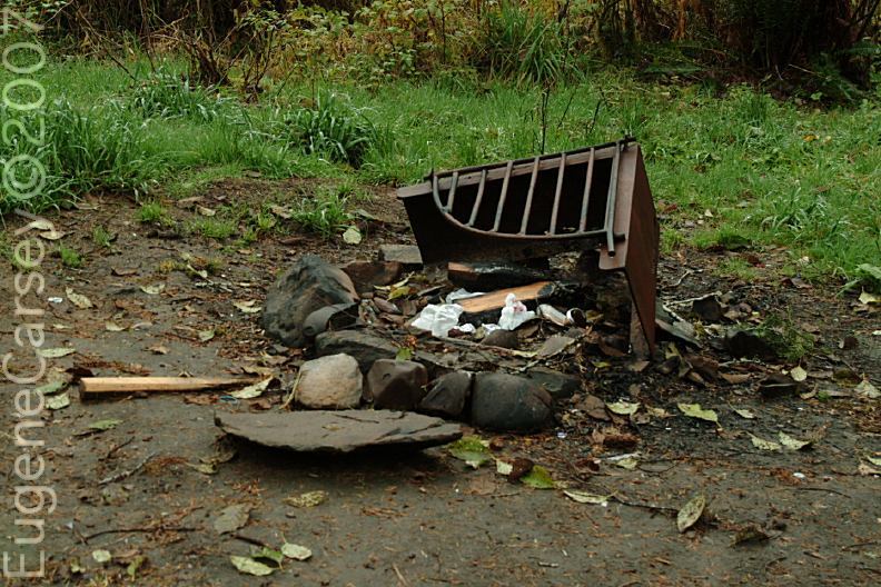
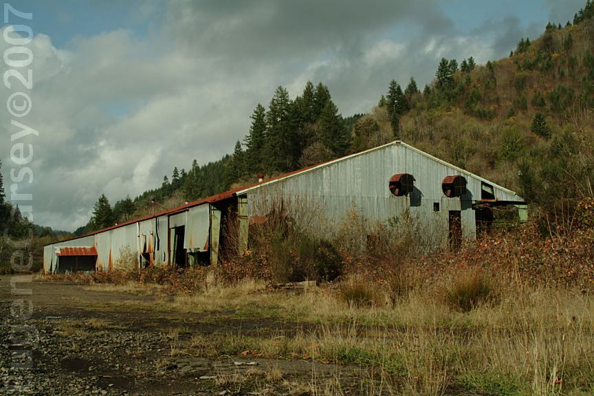
CANAL CREEK CAMPGROUND
LATITUDE: N 44°22.090
LONGITUDE: W 123°55.596
Kind of expensive with limited services.
$15 Under Special Permit with the U.S.F.S.
American Land and Leisure, Orem, UT
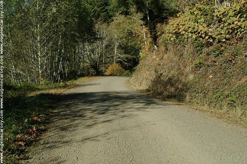
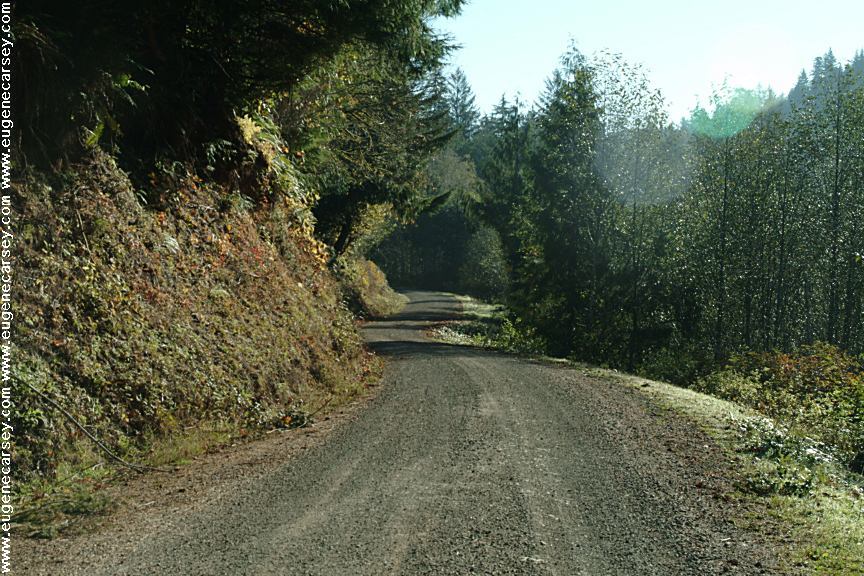
Hwy.34 at milepost#7 take Canal Creek Road
Campground is 4 miles with very scenic views.

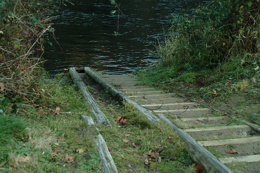
Farnham County Park and Boat Slide

Farnham County Park and Boat Slide
FARNHAM COUNTY PARK
LATITUDE: N 44°xx
LONGITUDE: W 123°xx
Fee Area / Parking permit required...
County Park and Boat Slide
Hwy.36 at Milepost#2
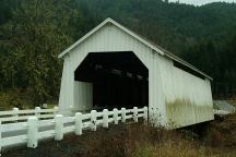
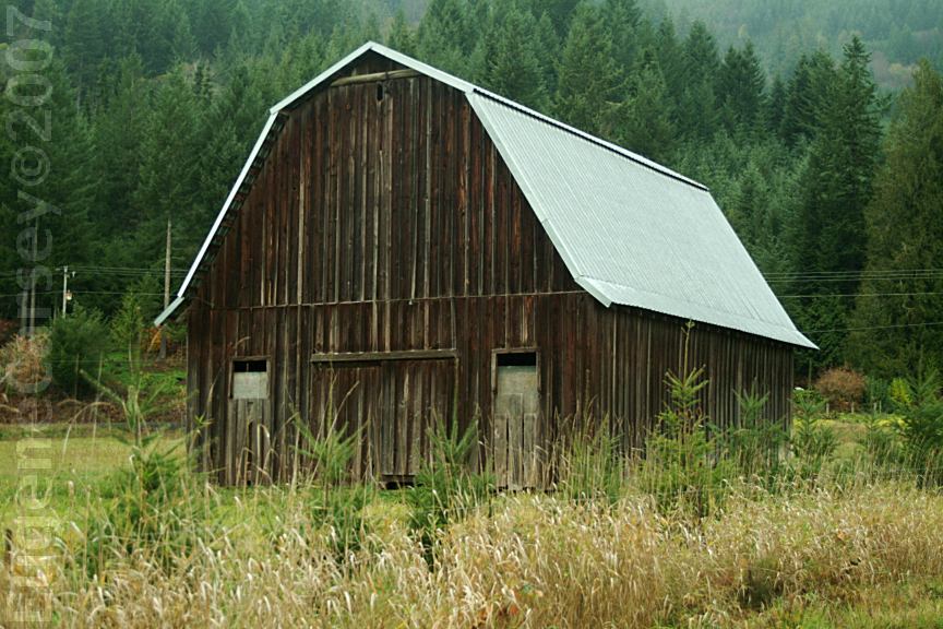
Hayden Covered Bridge
Hwy.34 near MP 38-39
About 2 miles west from Alsea, OR
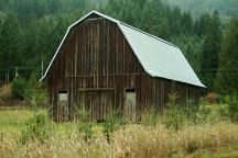
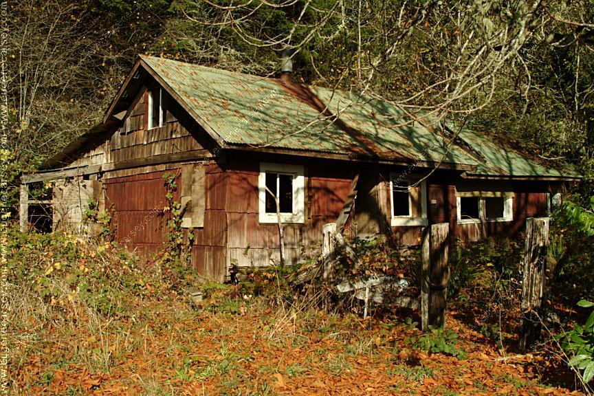
Barn near Hayden Covered Bridge
PHOTO HERE
Yachats River Road
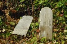
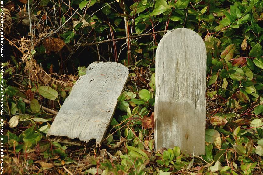
Glenada Odd Fellows Cemetery
GLENADA ODD FELLOWS CEMETERY
LATITUDE: N 43°57.043
LONGITUDE: W 124°05.665
Oregon Pioneer Cemetery
First Known Burial 1895
From Florence, OR, take Hwy.101 south across
Siuslaw River Historic Bridge. Turn on Glenada
Road and cemetery is about a mile.
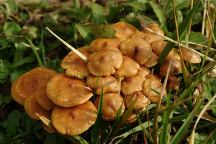
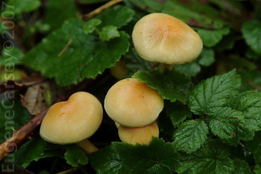
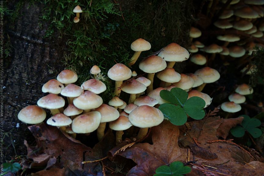
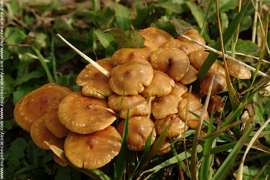
Mushrooms near Glenada Cemetery
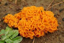
Mushrooms near Glenada Cemetery

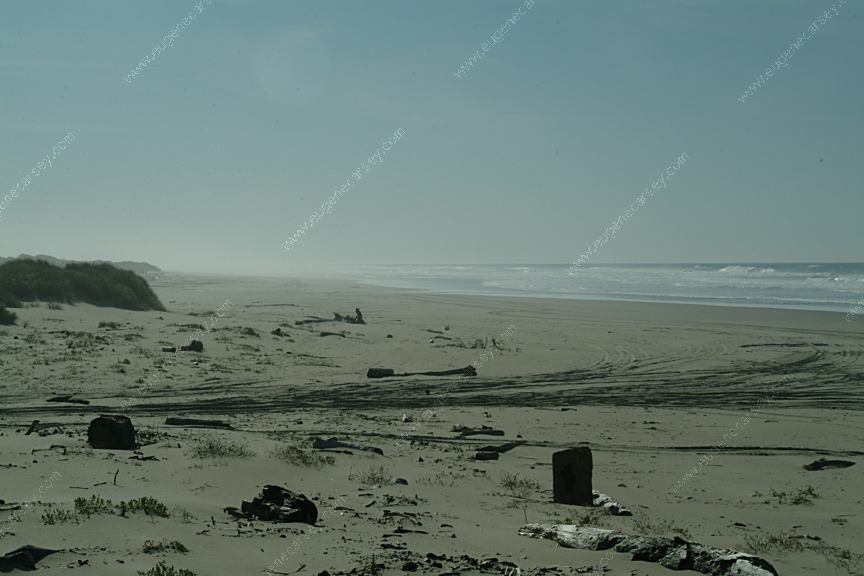
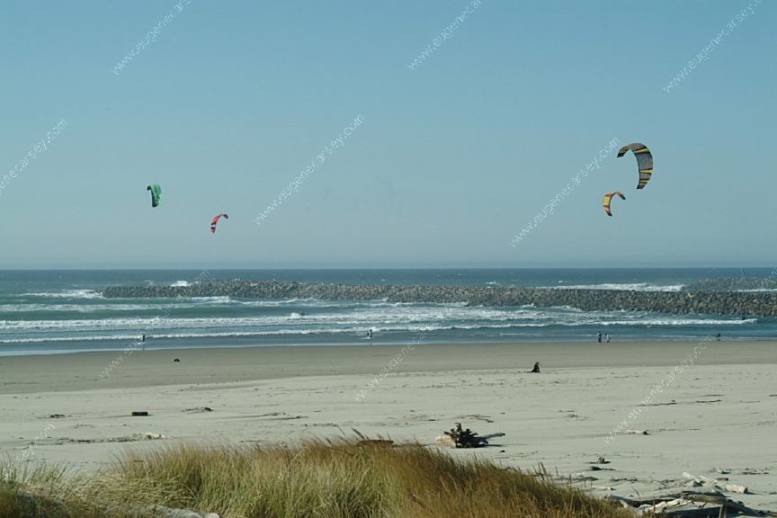
Kite Boarding at Siuslaw River South Jetty
Just south from Florence, OR

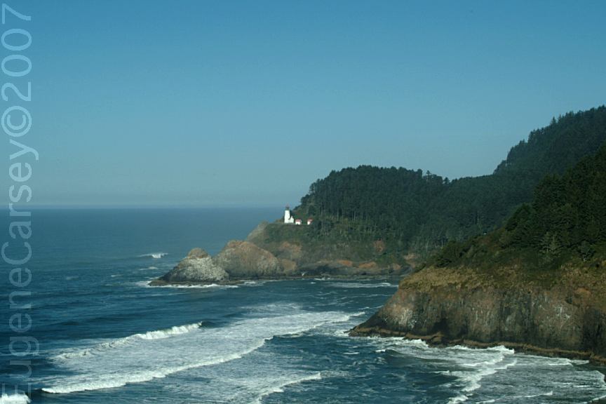
Heceta Lighthouse
Viewed from Hwy.101 at MP 179
North from Florence, OR
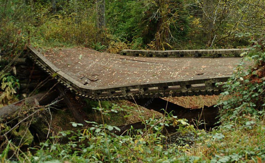
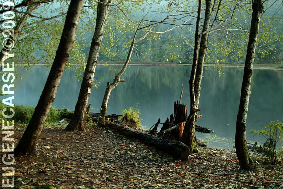
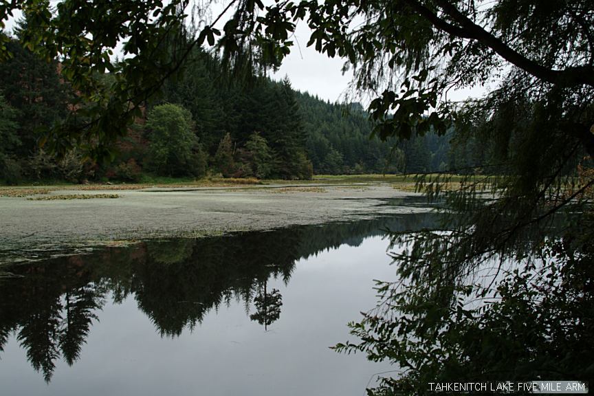
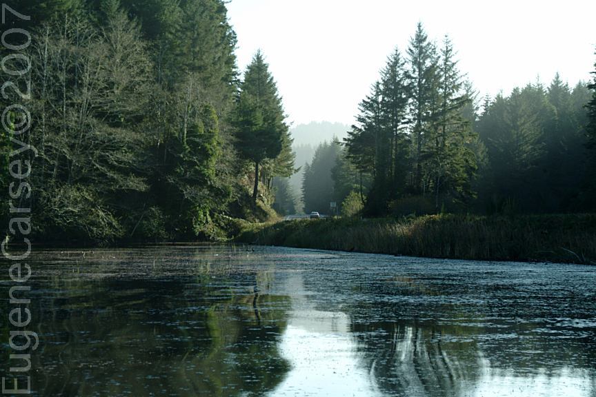
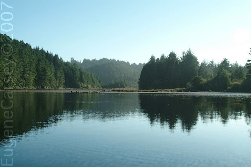
Tahkenitch Boat Ramp
Hwy.101 at MP 203
Tahkenitch Landing
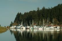
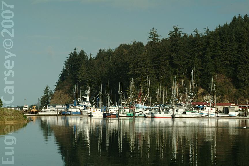
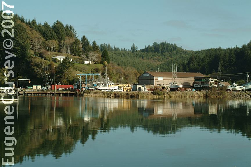
Winchester Bay
South from Florence, OR
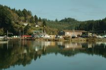
Winchester Bay
South from Florence, OR
PHOTO HERE
Umpqua Lighthouse State Park
Hwy.101 between MP 216-217
South from Florence, OR
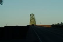
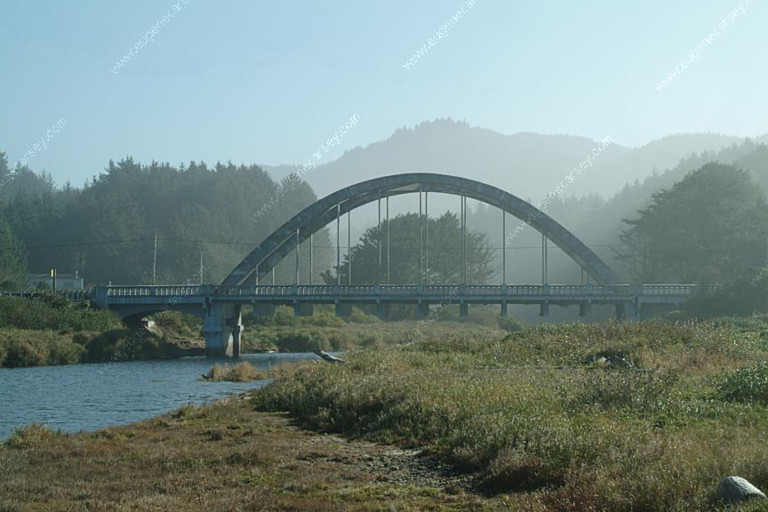
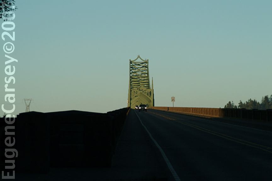
McCullough Memorial Bridge
Hwy.101 at MP 234
Oregon Dunes Overlook
Hwy.101 south from Florence, OR
OREGON DUNES OVERLOOK
LATITUDE: N 43°49.983
LONGITUDE: W 124°09.112
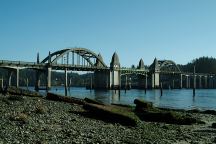
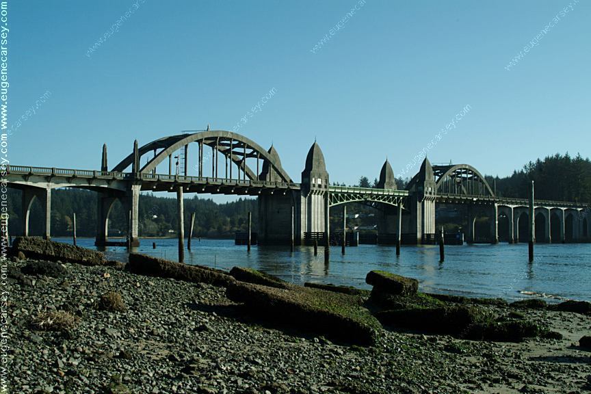
Port of Siuslaw Bridge
Hwy,101 south from Florence, OR
PHOTO HERE
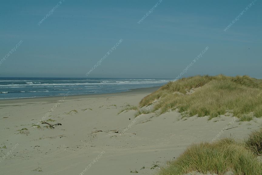
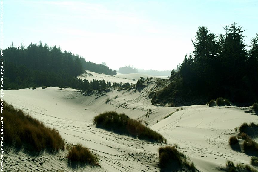
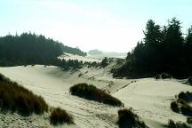
Sand Dunes north of Florence, OR
Easy access from behind Fred Myers
One of the few mechanics we allow to touch
our car is at "Muffler Works". While they
are busy installing new mufflers, we take a
couple hours walk through the sand dunes.
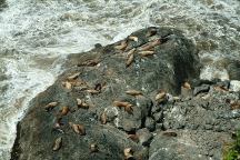
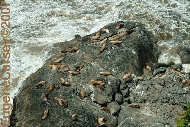
Sea Lions north from Florence, Oregon
Viewed from Hwy.101 at MP 179
|