|
PHOTO HERE
Horton Store
Great little store and we always stop
and give them some business. The prices
are good considering you are in the middle
of nowhere... least a long way from the city.
DIRECTIONS:
From Eugene, OR
Take Hwy.99 towards Junction City
Just south from Junction City go west on Hwy.36
Take Hwy.36 about 20 miles between MP 31-32
Turn right on Horton Road for 3 1/2 miles
At Horton Market stay right on Lake Creek Road
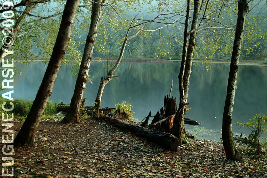
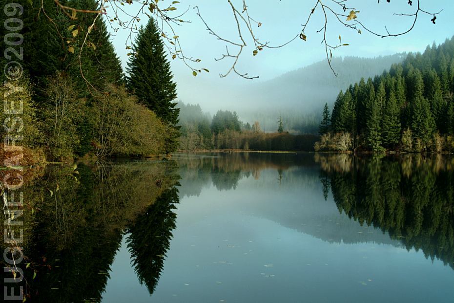
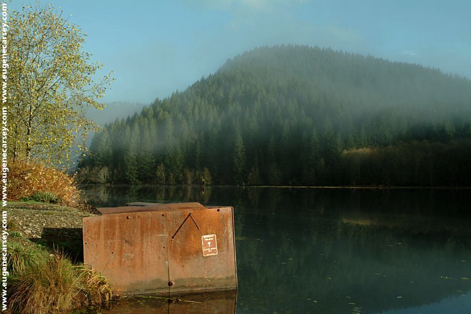
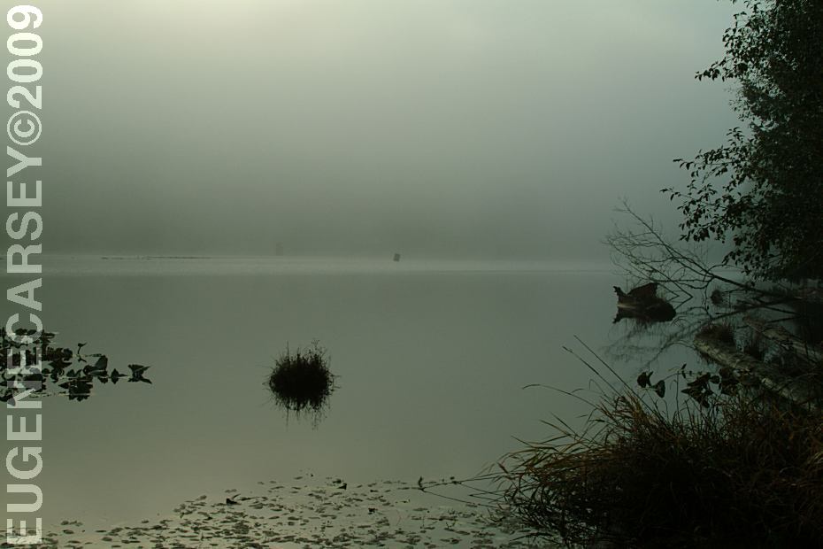
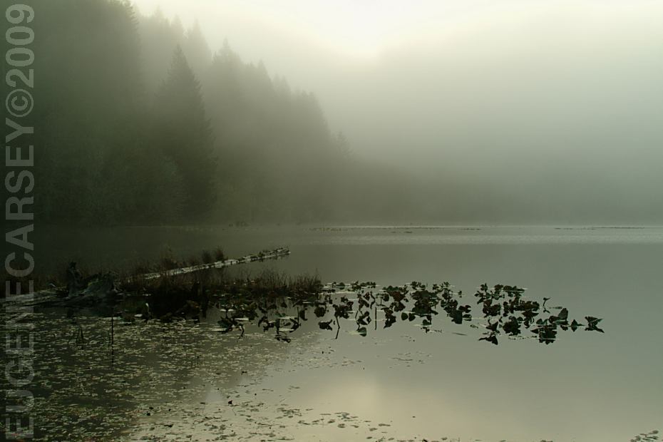
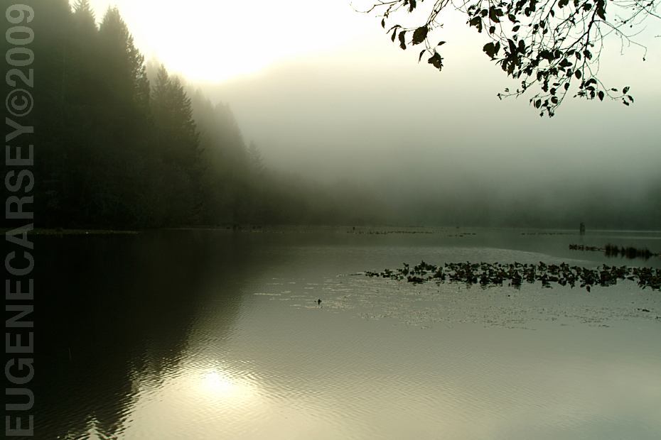
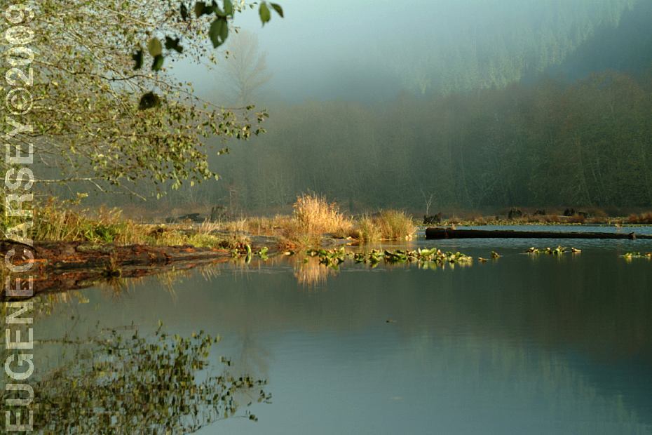
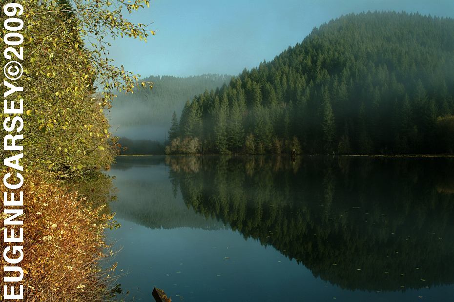
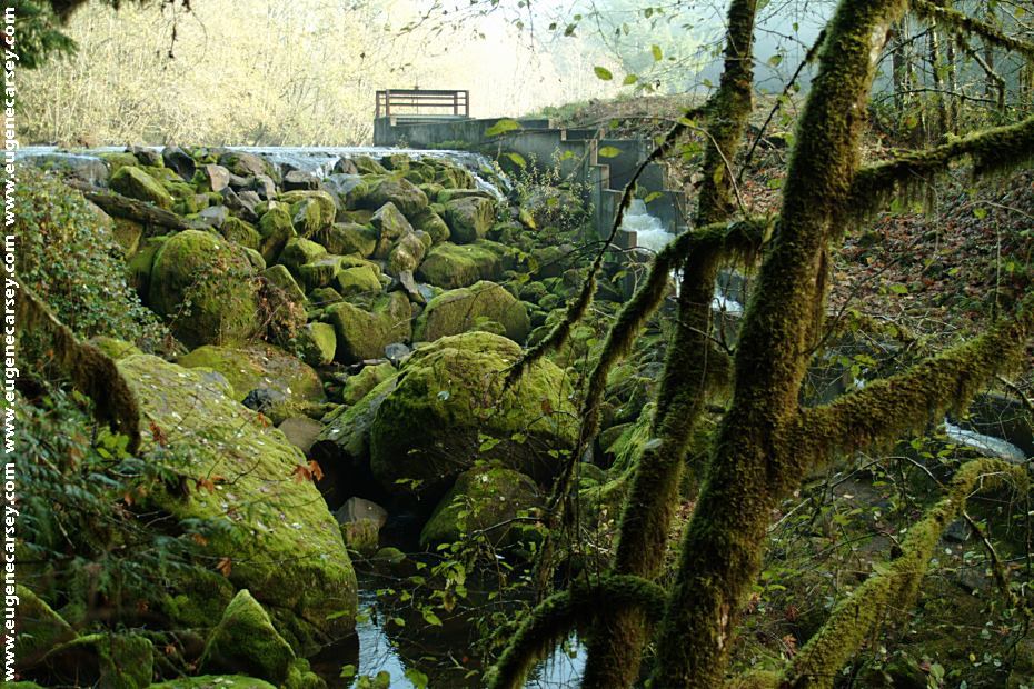
Upper Creek Lake about 1 1/2 miles
From Eugene, OR
Take Hwy. 126 west towards Noti, OR
Take Poodle Creek Road about 8 miles
Take Hwy.36 west about 8 miles
Highway 36 between MP 31-32
Turn right on Horton Road for 3 1/2 miles
See Directions above...
From Florence, OR
Take Hwy.126 east for xx miles
Take Hwy.36 about 31 miles
(Hwy.36 between milepost 31-32)
Turn on Horton Road for 3 1/2 miles
See directions above...
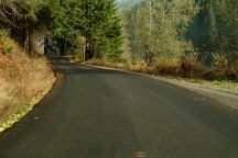
Lake Creek Road
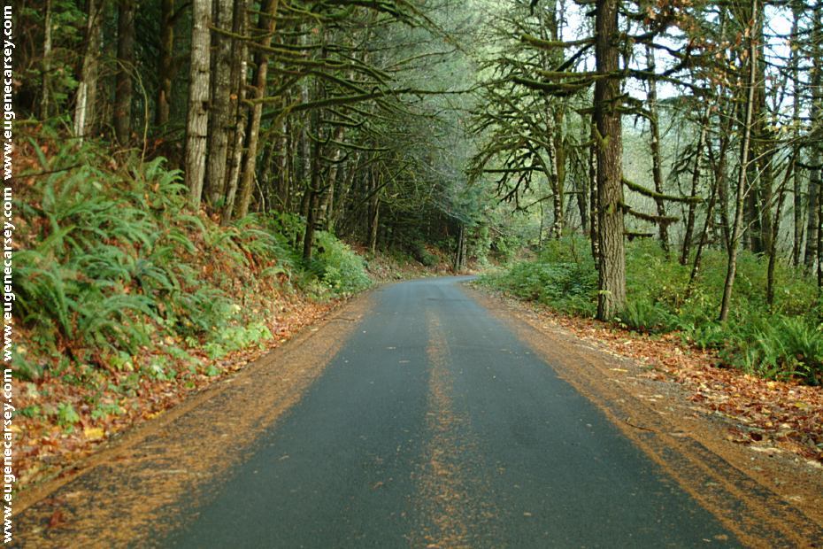
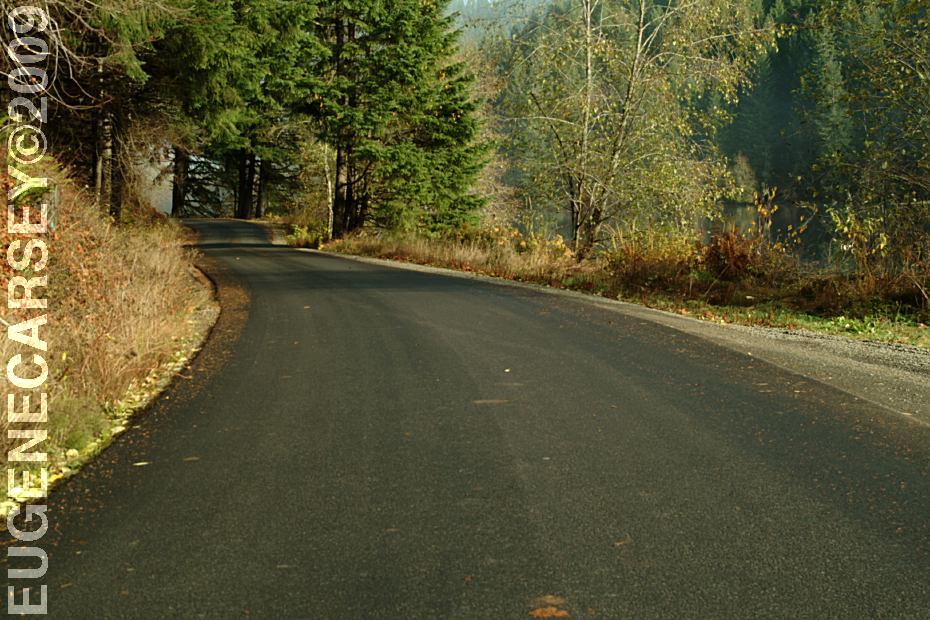
ROAD CONDITIONS:
Paved surface roads...
Single lane road past Horton Market
Limited RV parking areas. There are
some dispersed camp areas that are
more accommodating.
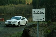
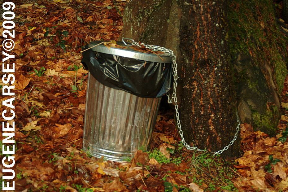
Dumping Trash is a Crime
Please Keep Your Forest Clean
(That is our car in the background)
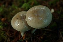
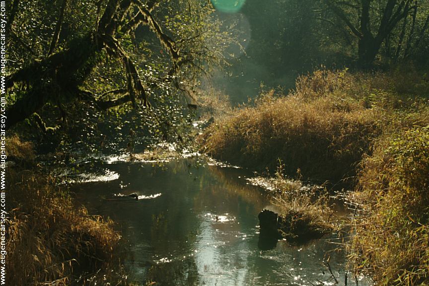
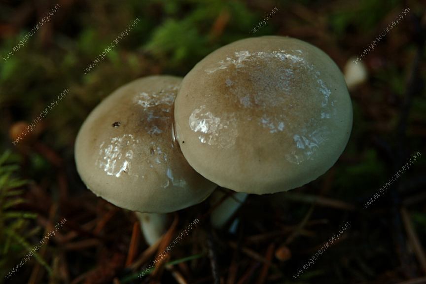
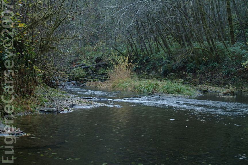
Mushrooms near Upper Lake Creek
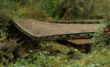
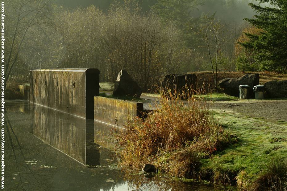
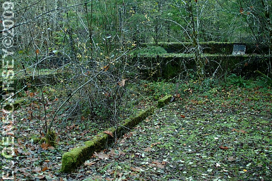
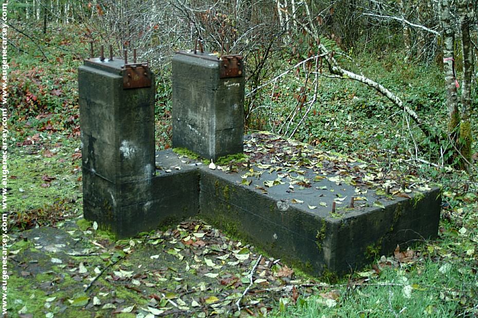
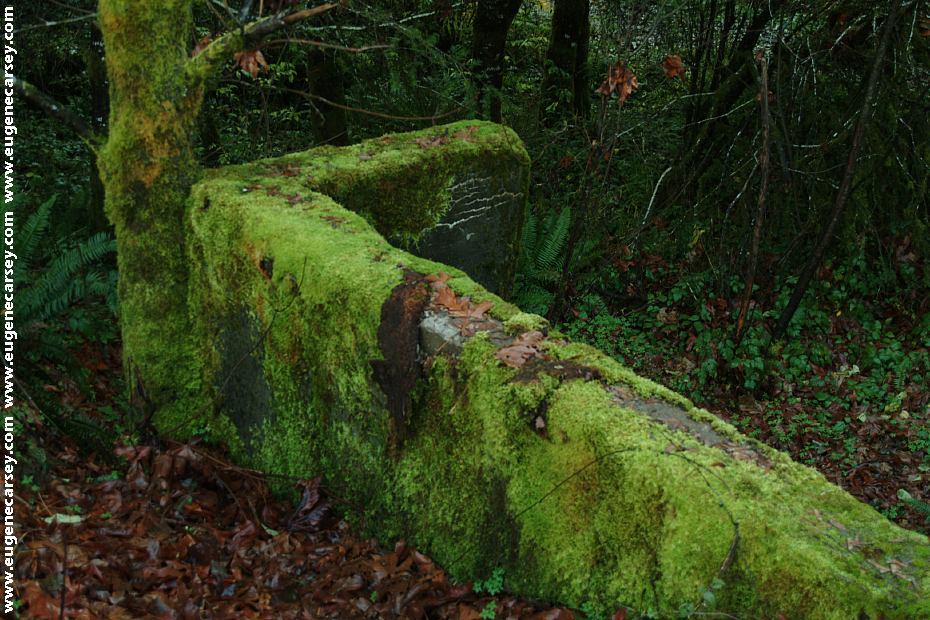
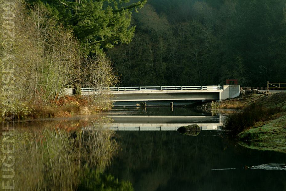
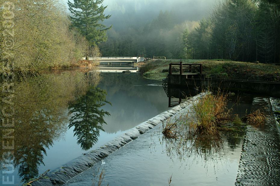
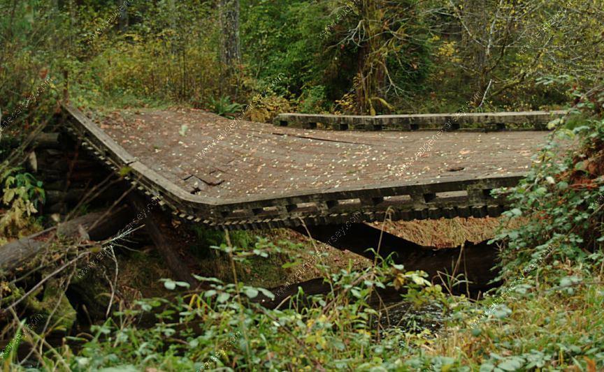
Bridge at Indian Creek Campground
Extreme Danger!!! The bridge has been
making noises in recent days. (Nov.11, 2007)
UPDATE:
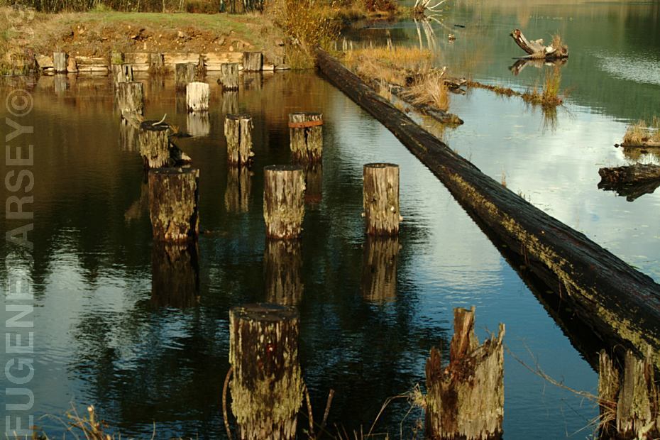
The bridge collapsed and the only evidence
are the cement supports on the river's bank.
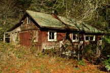
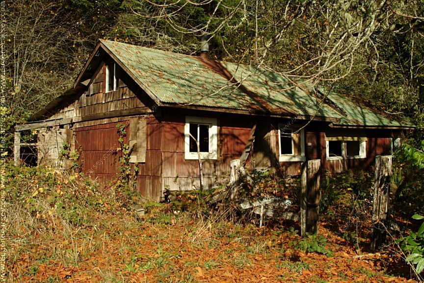
Old House
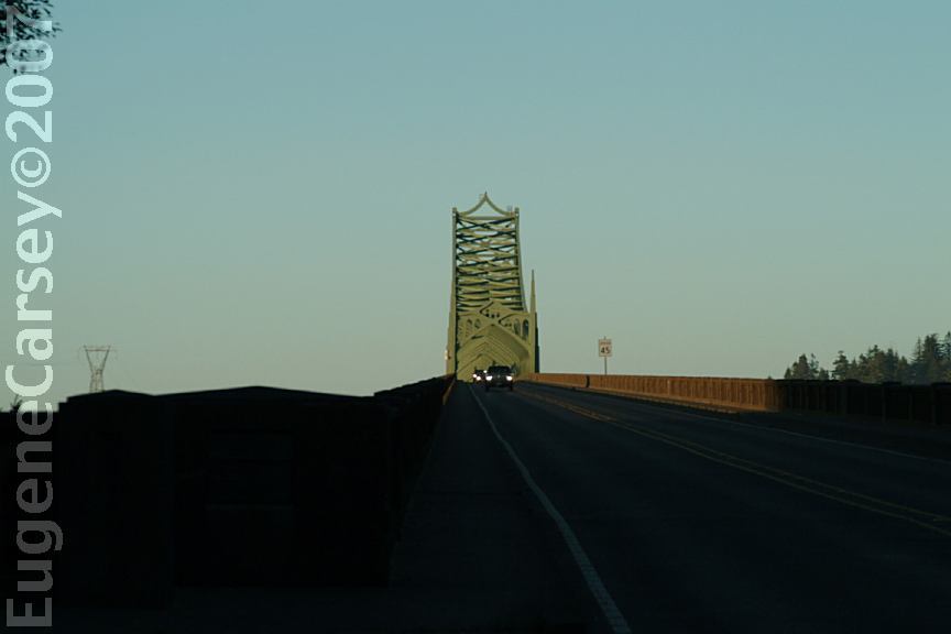
Highway 36 at Milepost#19
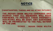
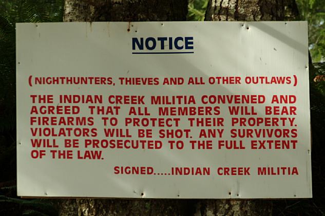
Militia Sign Warning of Death to Criminals
Junction of Indian Creek Road and
Thompson Creek Road

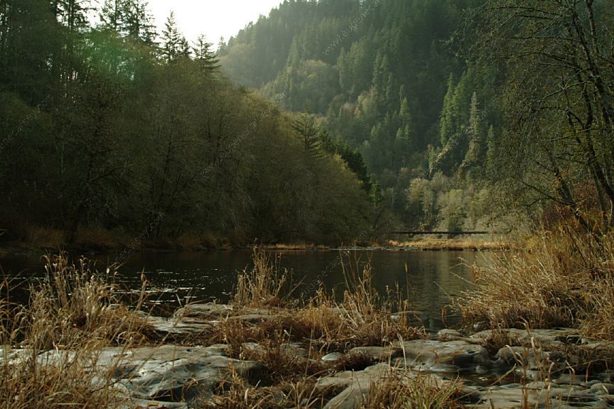
Schindler Park on Hwy.36
Near Indian Creek Road
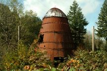
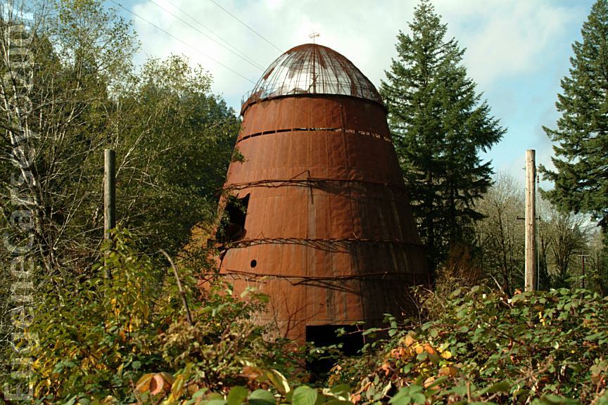
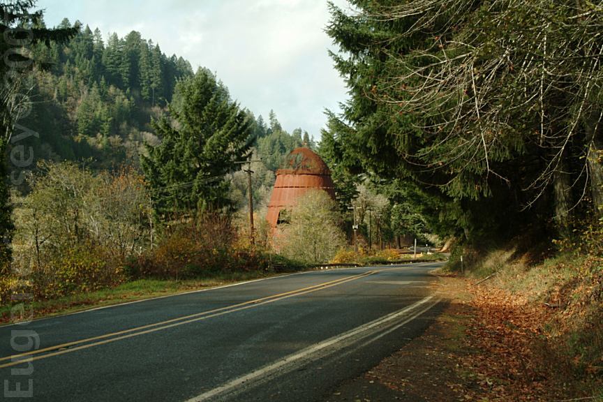
Old Paper Mill near Swisshome
Hwy.36 near Milepost 7

Old Paper Mill near Swisshome
Hwy.36 near Milepost 7

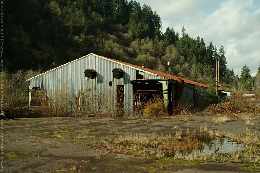
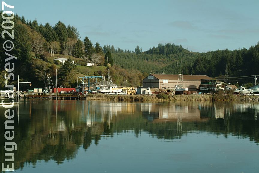
Old Lumber Mill near Swisshome
Hwy.36 near Milepost 7
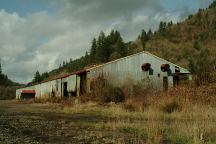
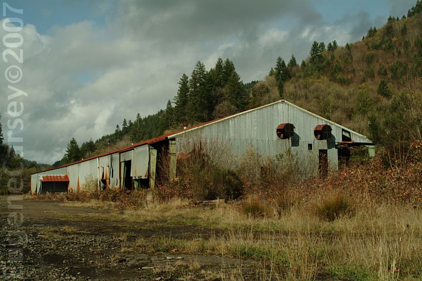
Old Lumber Mill near Swisshome
Viewed from different position and angles...
|