|
|


|
Free camping and campgrounds
There are established campgrounds and several |
|
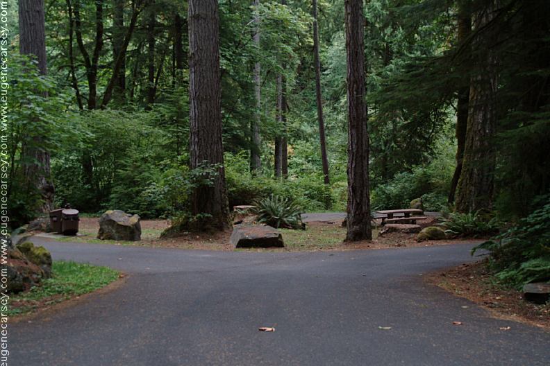
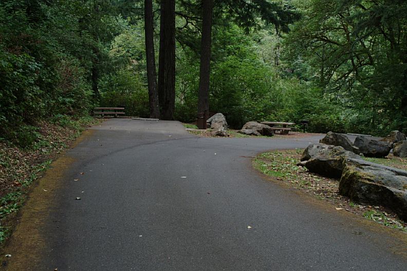
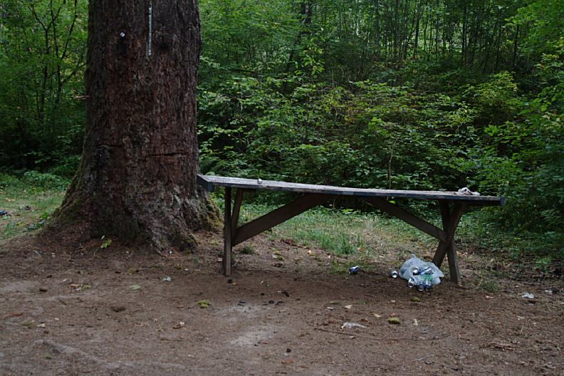
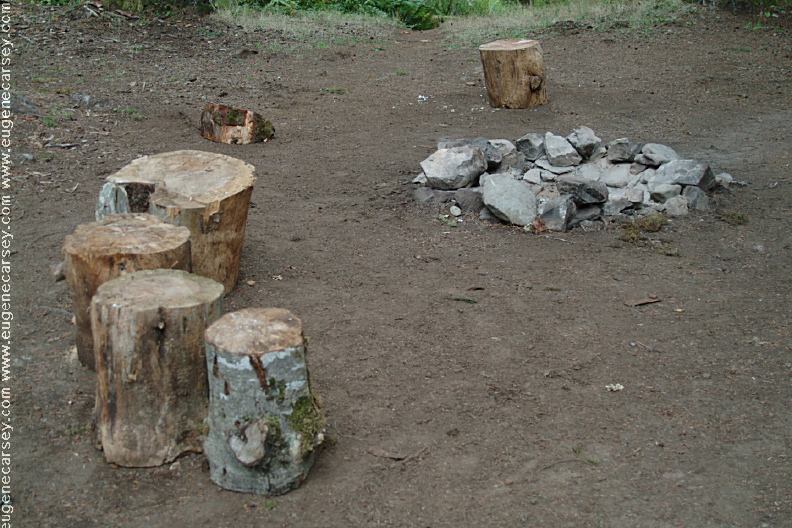
Picnic tables, metal firerings, BBQ grills,
14 Day Camping Limit
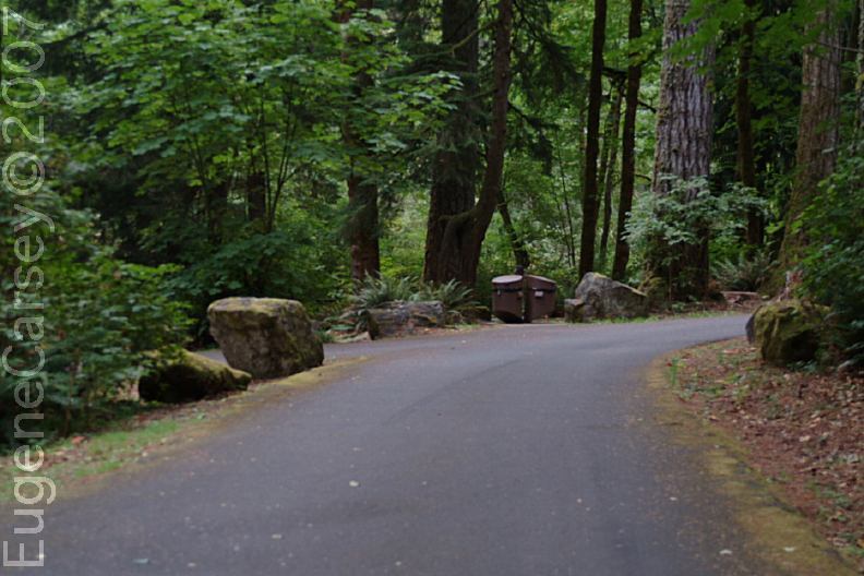
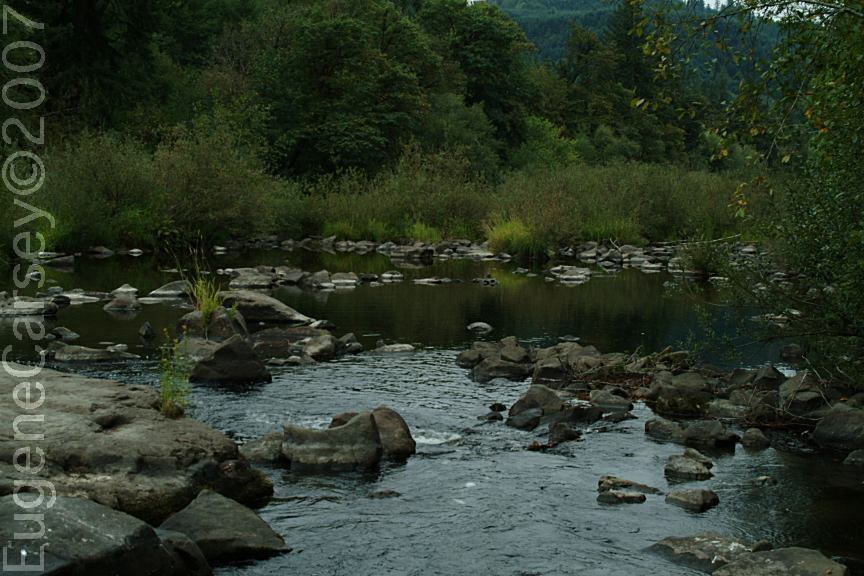
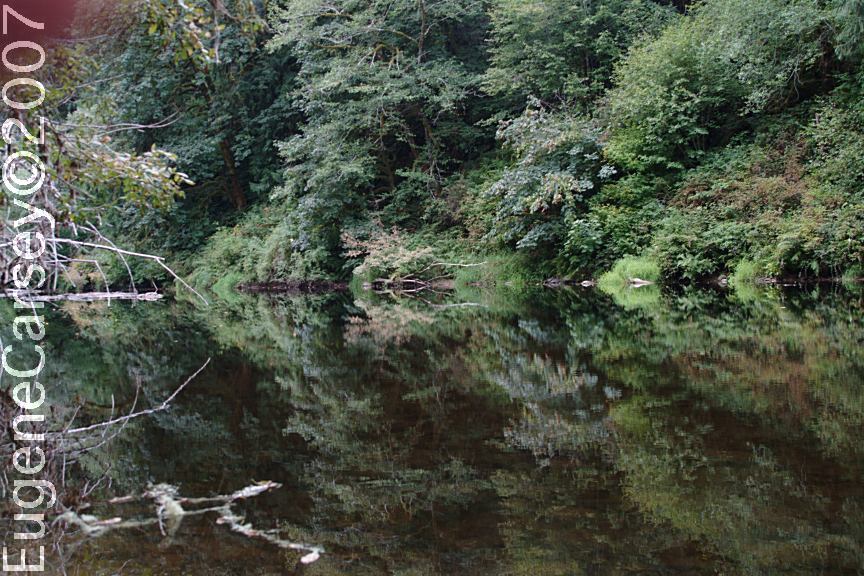
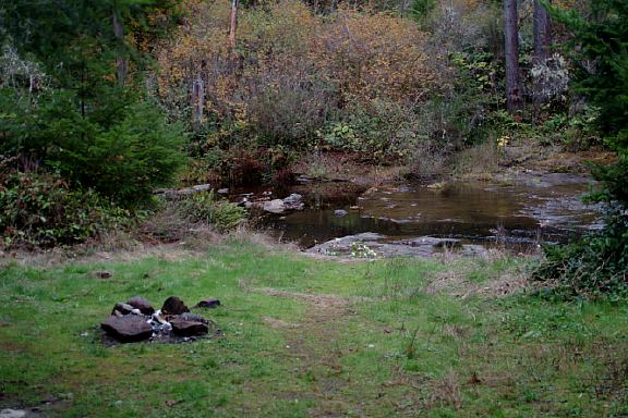
Several dispersed campsites on Smith River Road
Raspberries, blackberries, and boysenberries |
|
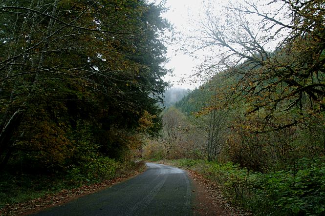
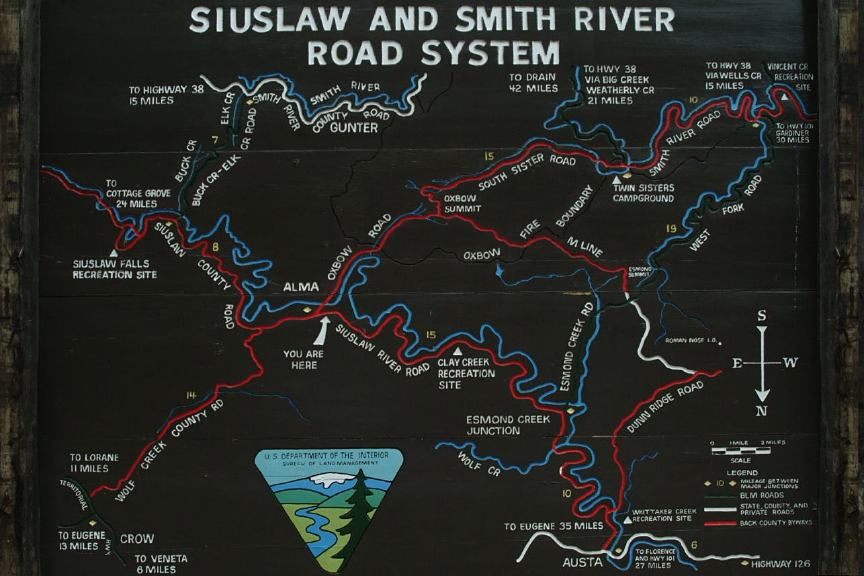
DIRECTIONS: From Sutherlin / I-5 at Exit 136
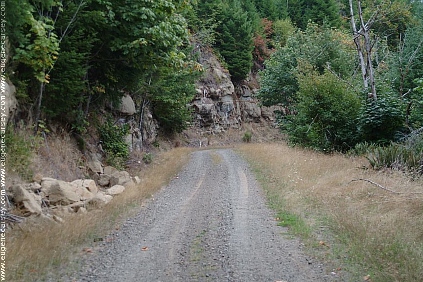
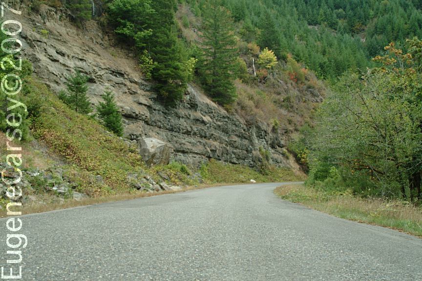
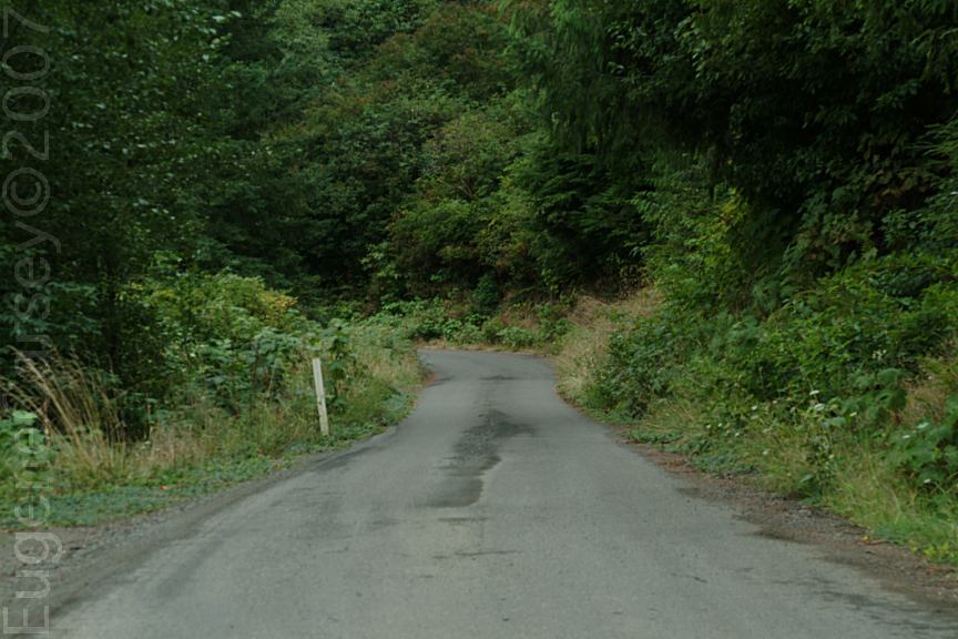
ROAD CONDITIONS:
Lots of Blackberries on Wells Creek Road. We've been here a couple times and there was
always When FIRE RESTRICTIONS are in effect, PHOTO HERE SMITH RIVER CAMPGROUND
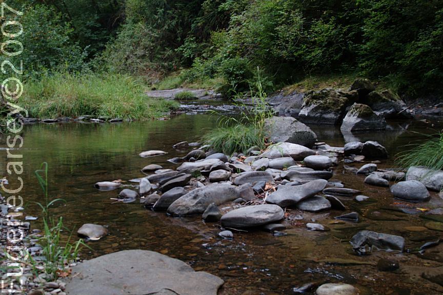
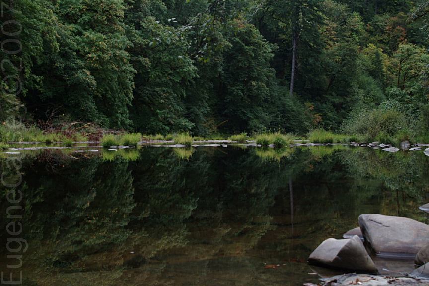
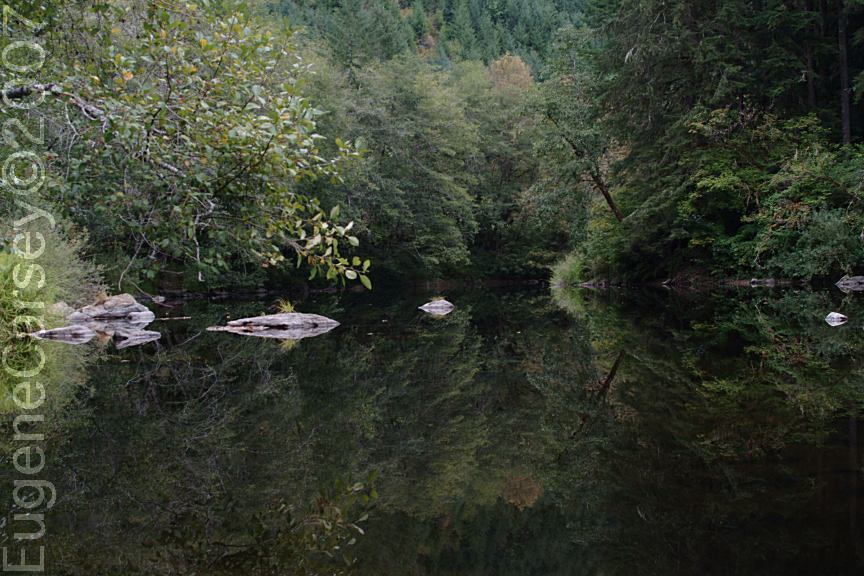
WEST FORK SMITH
RIVER Water at Clay Creek BLM Recreation Site. Showers in Florence at the laundry...
DEAN CREEK ELK VIEWING AREA |
|
ESTABLISHED CAMPGROUNDS ARCHIE KNOWLES CAMPGROUND $15.00 WILD CAT BRIDGE(Covered Bridge)
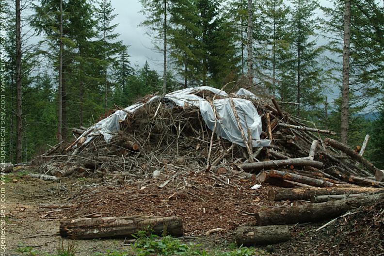
We see hundreds of these type slash piles that
are |

CAMPGROUND INDEX OREGON FREE CAMPGROUND MAP Camped here Sept.13, 2007 dispersedcampgrounds.com
Complete free campground listing
Google Custom Map by Ian
Google custom map by Ian with most of the
free campgrounds in Oregon.
Free campgrounds and camping
OREGON CAMPGROUND
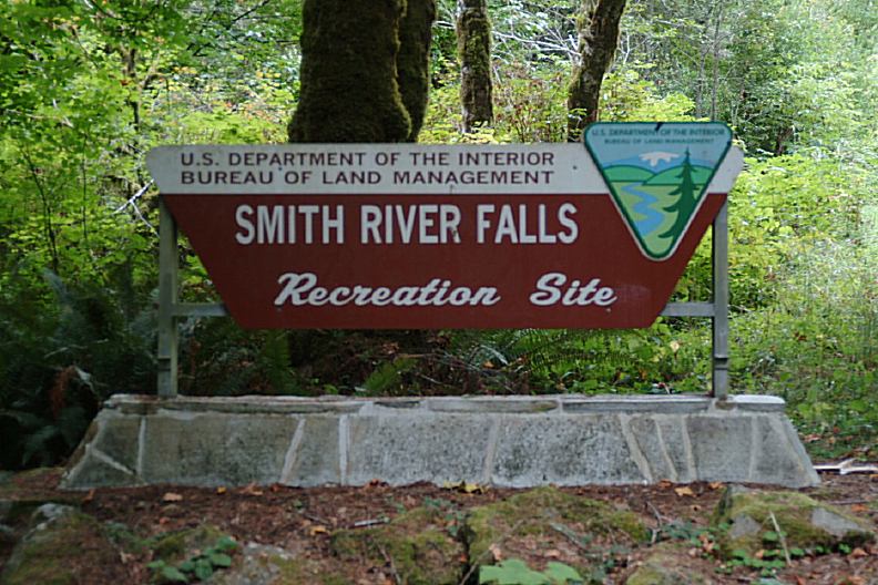
SMITH RIVER FALLS BLM REC. SITE
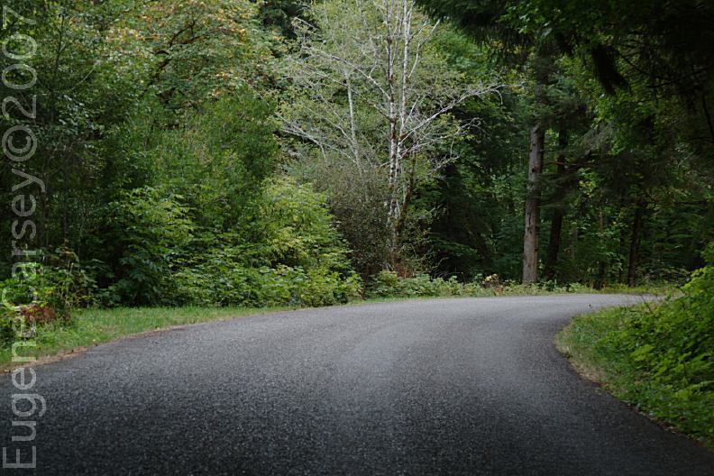
SMITH RIVER ROAD
