|
|


|
Free campgrounds and camping |
|
For an escape from the crowds, then
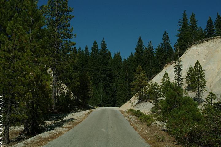
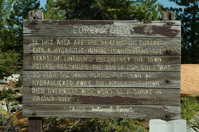
EUREKA DIGGINGS
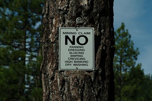
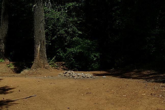
Most camps are mining claims. There are
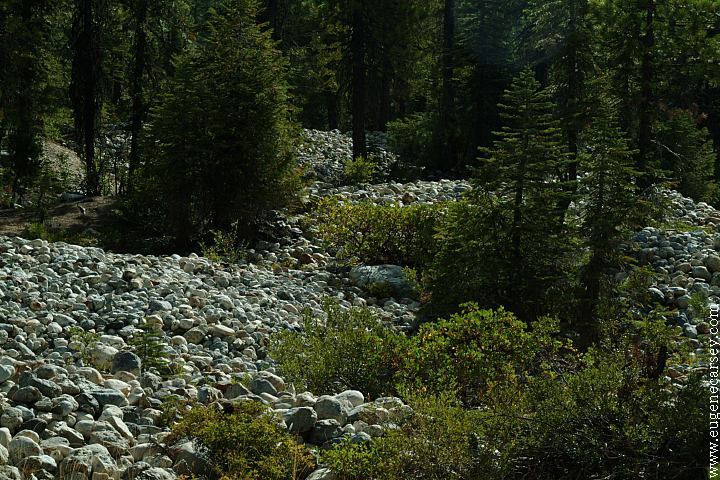
The lakes were created by the hydraulic OLD MILL CREEK SNOW CREEK ROAD#2518
ROAD#35
ROAD#491 DEVILS POSTPILE
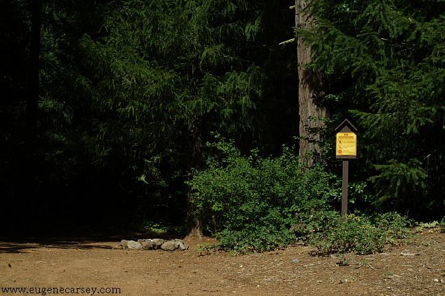
IT IS YOUR RESPONSIBILITY TO
KNOW
ESTABLISHED CAMPGROUNDS COMPLETE LIST |
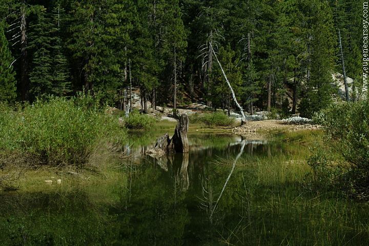
DIRECTIONS: CAL-IDA 4 miles There is no drinking water or supplies... There are years and years worth of Camped here August 19, 2006
Sudden mountain storm. The weather can be
perfect one minute... but don't take chances.
Hwy.49 between Downieville and
Turn on Road#490
It is 4.5 miles to Road#25
BRANDY CITY 7 miles
MORRISTOWN RIDGE 22 miles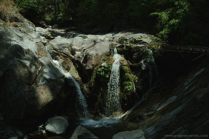
Waterfall on Road#490
(Near Junction of Hwy.49)
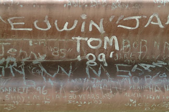
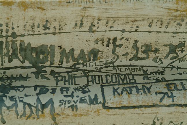
Bridge covered with signatures...
people tagging the guardrail of the
bridge. In good spirit... it's tradition.
There are 1000's of names that cover
every inch of the guardrail... why not.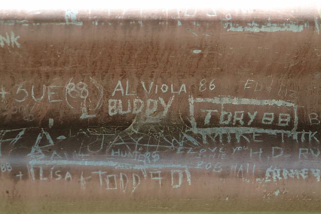
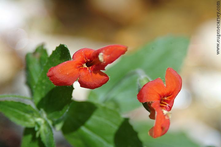
Flowers on Road#35 at Cherokee Creek
Also see: CAMPGROUND INDEX
dispersedcampgrounds.com
BOWMAN LAKE
Also see: LAKES
BASIN
Also see: SHASTA
LAKE
Also see: SNAG LAKE
Also see: TRINITY
LAKE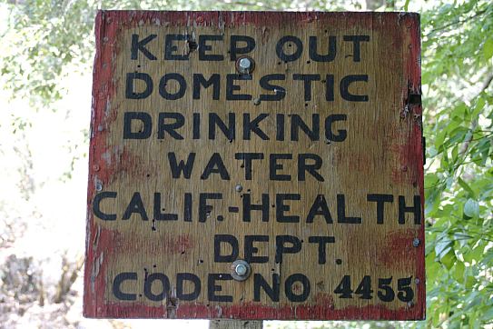
Now here is the problem, that big group
of people who were swimming and enjoying
the cool water on a hot day... they didn't
speak English.
Complete free campground listing
Free campgrounds and camping
CALIFORNIA CAMPGROUND DIRECTORY
TAHOE NATIONAL FOREST
SADDLEBACK LOOP
FOREST ROAD 25
