|
|


|
Free camping and campgrounds
|
|
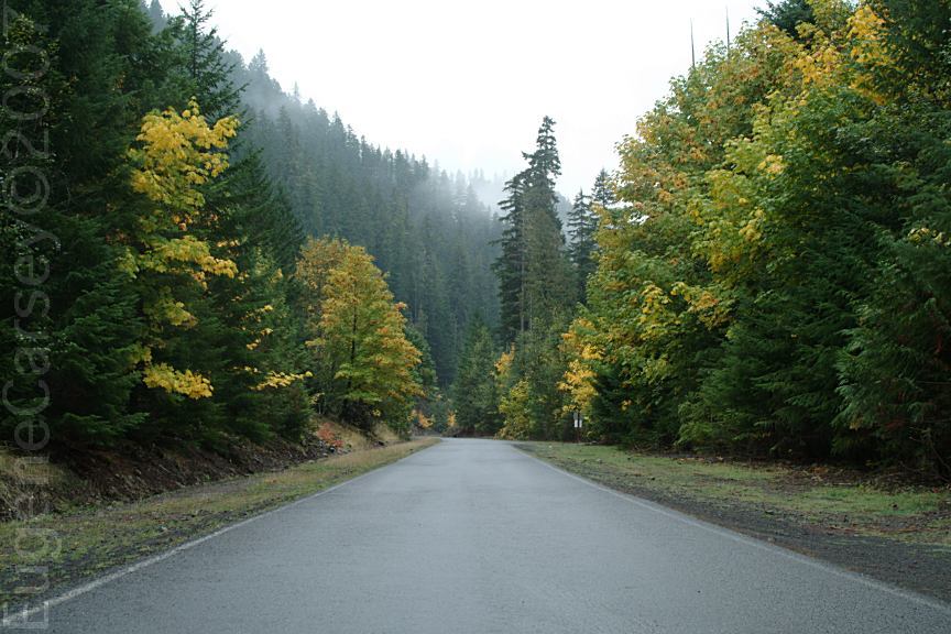
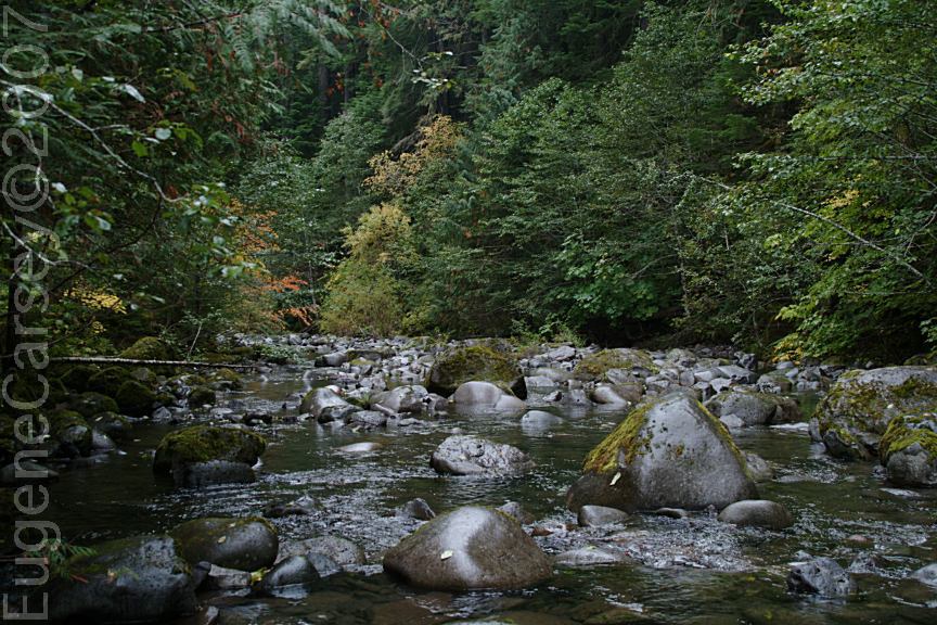
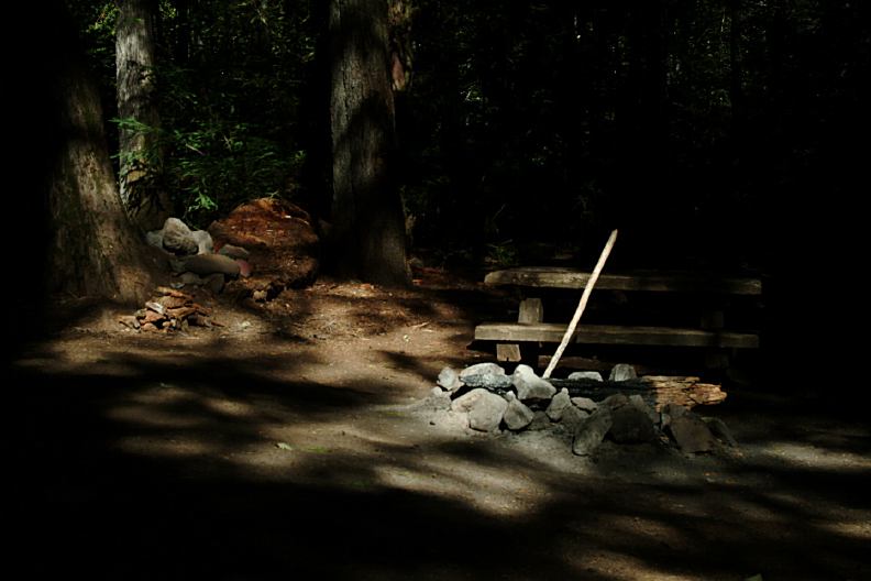
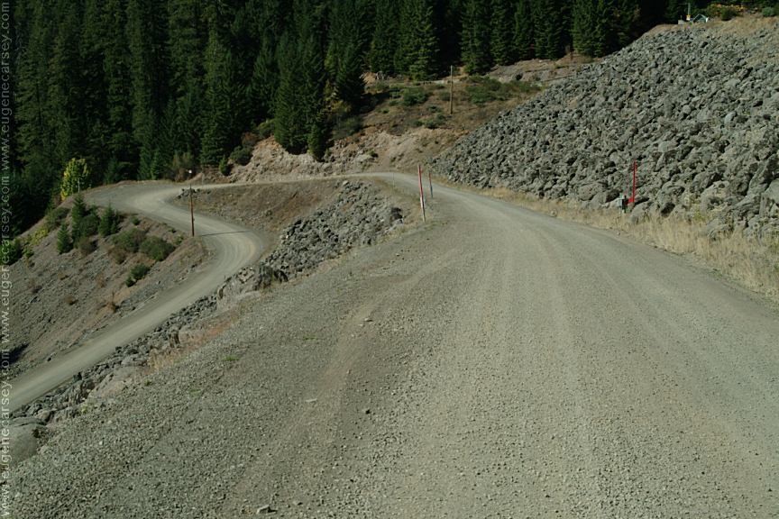
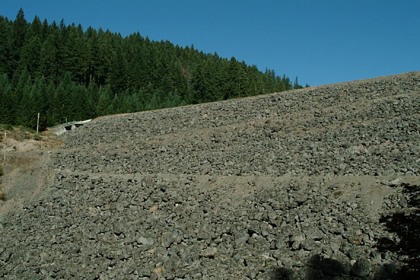
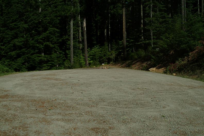
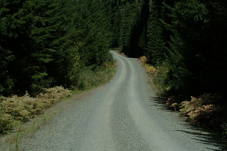
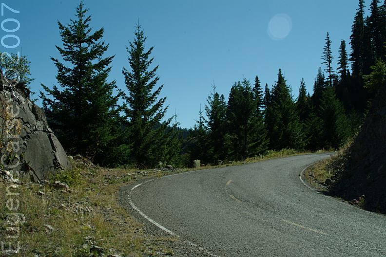
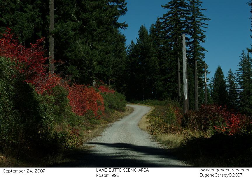
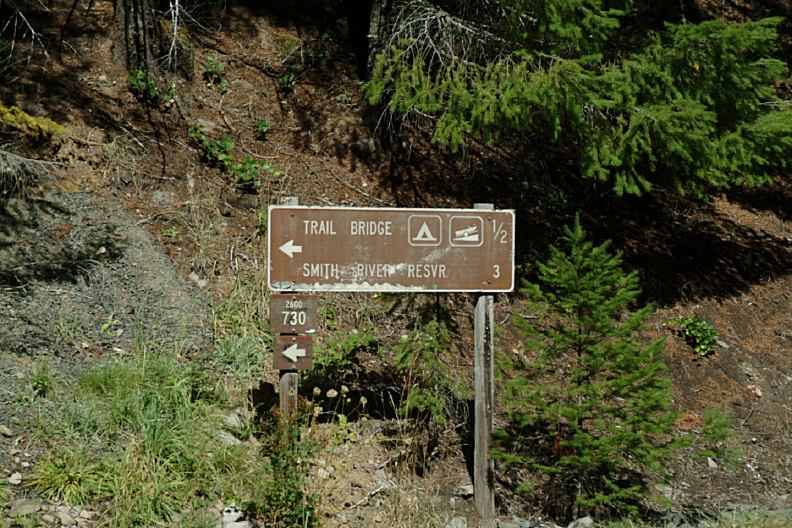
DISPERSED CAMPSITES ON ROAD#730 |

|
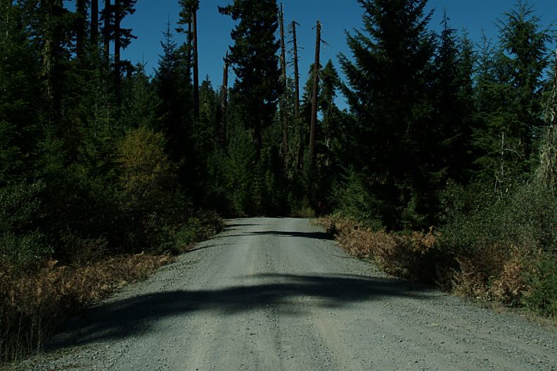
END OF ROAD#730
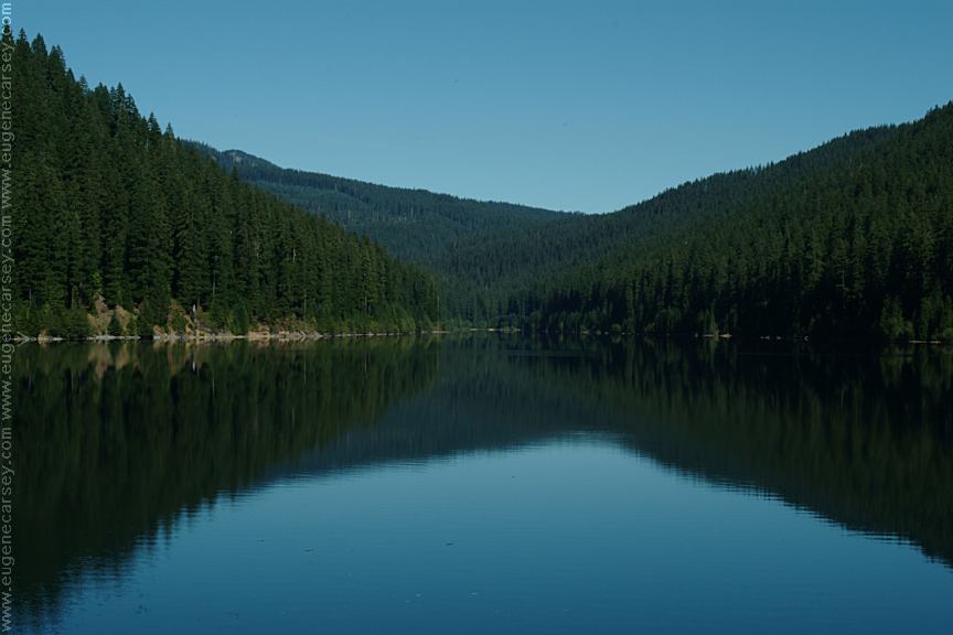
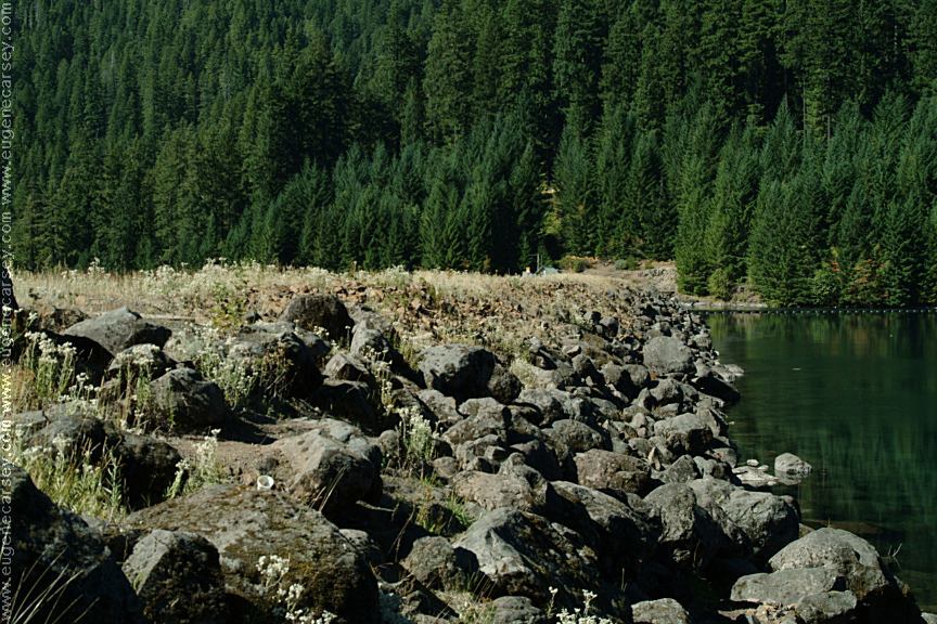
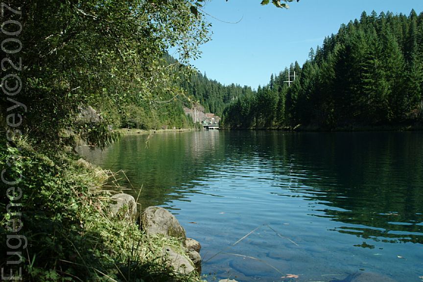
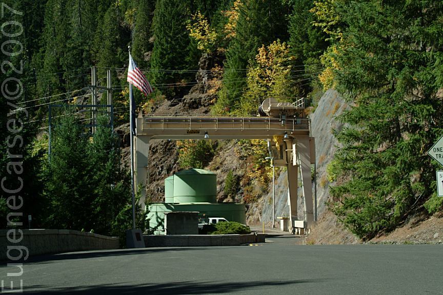
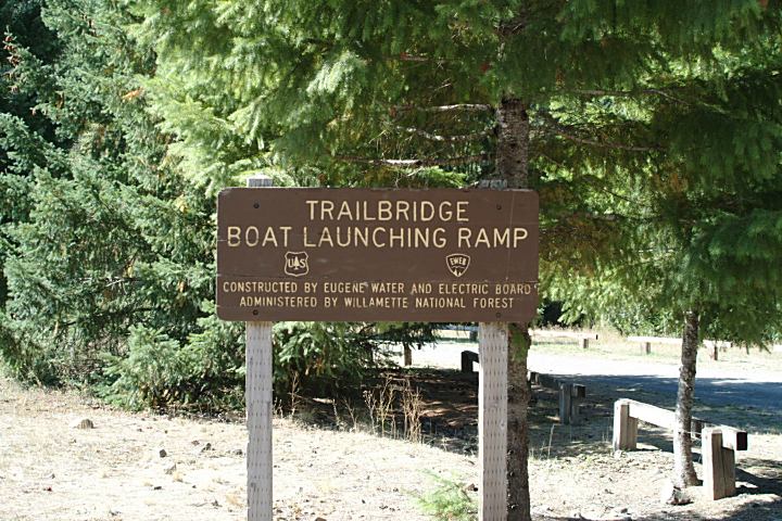
TRAIL BRIDGE CAMPGROUND TRAIL BRIDGE RESERVOIR
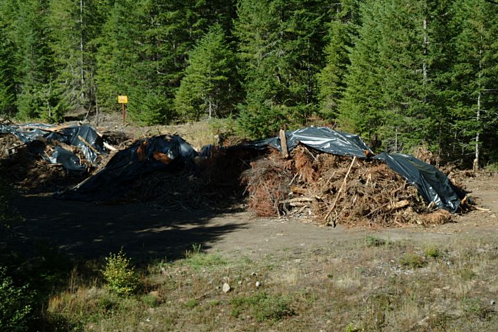
We have seen hundreds of these type slash piles |
|
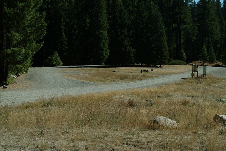
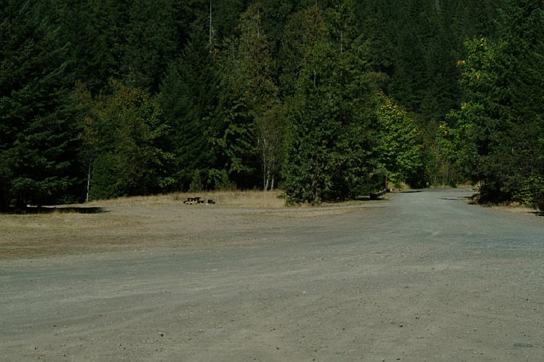
There are a couple dispersed campsites on
|
|
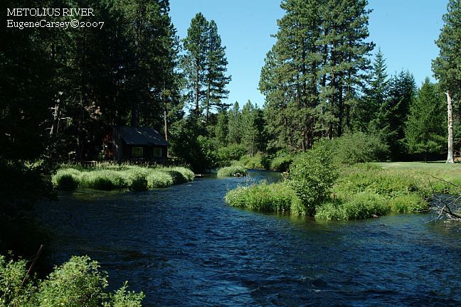
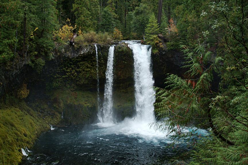
KOOSAH FALLS
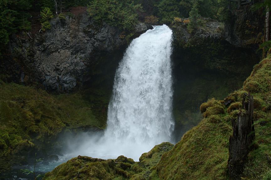
SAHALIE FALLS TAMOLITCH ESTABLISHED CAMPGROUNDS:
COLDWATER CAMPGROUND
|
|
DIRECTIONS: From Eugene / Springfield ROAD CONDITIONS: MAP Water at Big Lake Campgrounds |
|
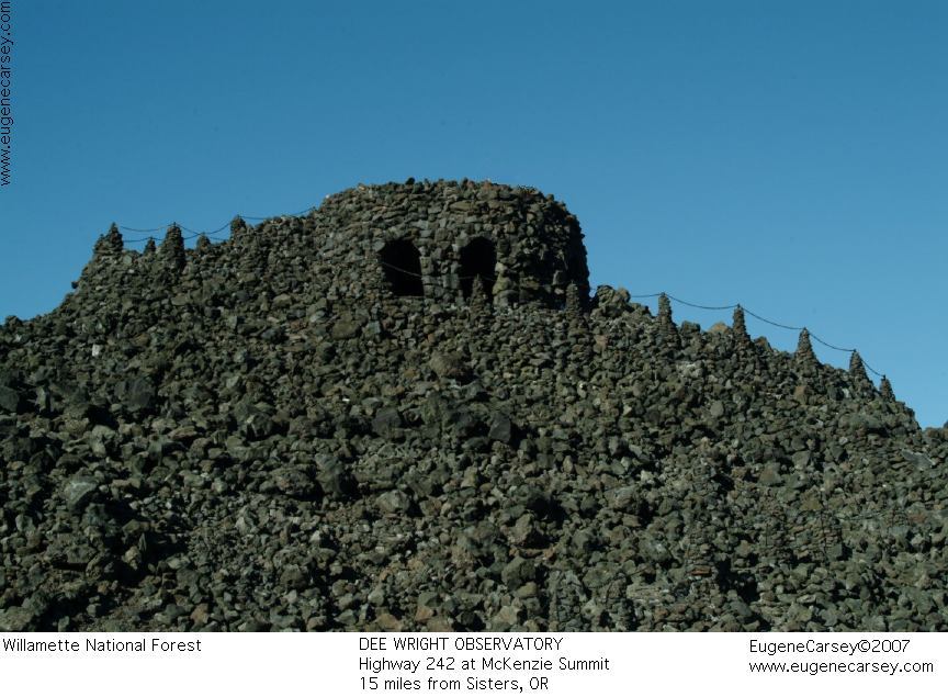
DEE WRIGHT
OBSERVATORY
LAVA CAMP
LAKE CAMPGROUND ALDER SPRINGS
CAMPGROUND
ROAD#247
ROAD#220
IT IS YOUR RESPONSIBILITY TO
KNOW |
|
Also see: DETROIT LAKE
OREGON FREE CAMPGROUND MAP
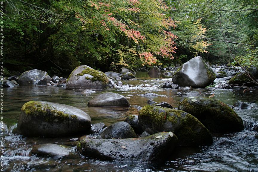
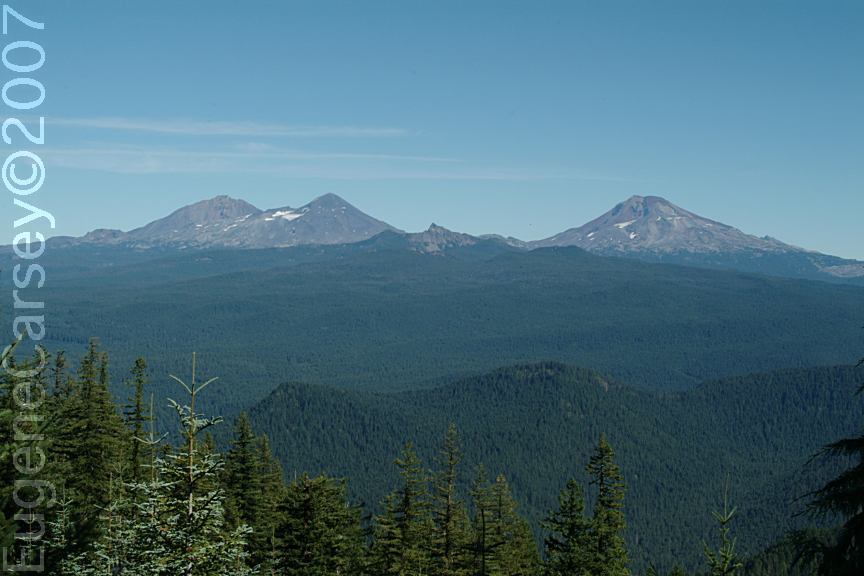
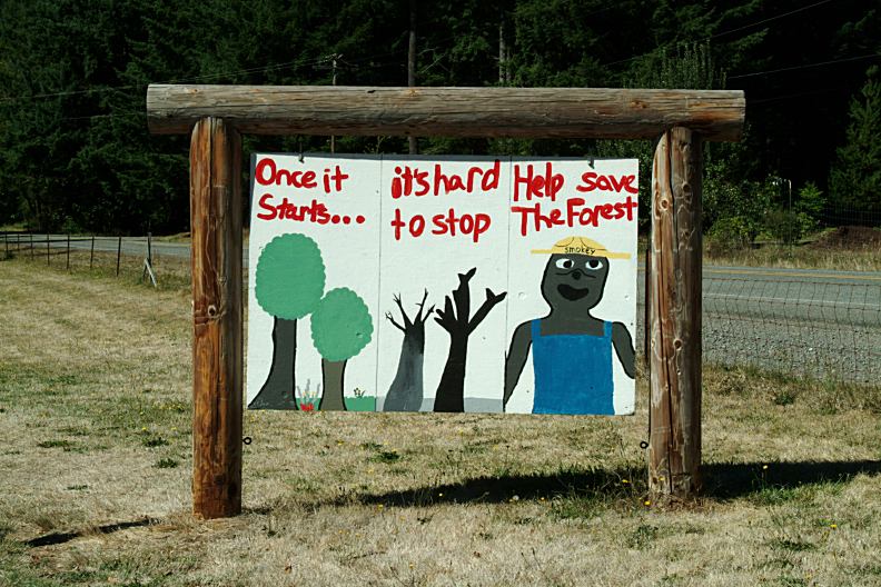
Camped here Sept.25, 2007 CAMPGROUND INDEX
dispersedcampgrounds.com |