http://www.dispersedcampgrounds.comhttp://www.eugenecarsey.com

Free camping and campgrounds
OREGON CAMPGROUND DIRECTORY
WILLAMETTE NATIONAL FOREST
ALDER SPRINGS CAMPGROUND
MOUNT WASHINGTON WILDERNESS
THREE SISTERS WILDERNESS
McKENZIE / SANTIAM PASS
Santiam National Scenic Byway
LATITUDE: N 44°10.625
LONGITUDE: W 121°54.802
Dispersed and Primitive Camping

Alder Creek Campground
Alder Springs Campground

Alder Springs Campground
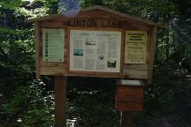
Linton Lake Trailhead

Limited photos of campground.
Campground always in the shade...
Not our favorite campground. It is a decent
campground and is convenient if you plan
on hiking the Linton Lake Trail.

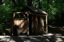
Outhouse
Outhouse at Alder Springs Campground

This is a free campground...
Highway 242 near milepost 65.8
Picnic tables, metal firerings, and outhouse.
Trailhead for Linton Lake
Small campground with 6 picnic tables,
5 firerings, and limited parking.

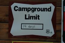
14 Day Camping Limit

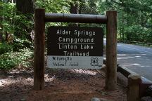
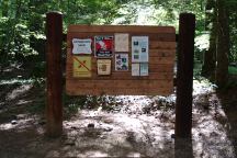
Information Board
Information Board at Alder Springs Campground

Linton Lake Trailhead

WILDERNESS PERMITS REQUIRED
Memorial Day through Oct. 31
Three Sisters Wilderness
Mount Washington Wilderness
Permits are available at most trailheads
See information at bottom of this page.
(Permits not required at campground)

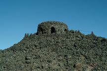
Dee Wright Observatory

DEE WRIGHT OBSERVATORY
Mystical and magical are terms used to describe
Dee Wright Observatory near McKenzie Summit.
Hwy.242 about 15 miles from Sisters, OR
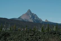
Mountain views from Dee Wright Observatory
Mount Washington
Viewed from Dee Wright Observatory
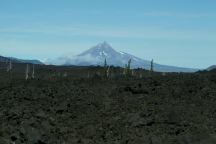
Mountain views from Dee Wright Observatory
Mount Jefferson
Viewed from Dee Wright Observatory
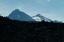
Mountain views from Dee Wright Observatory
Three Sisters Mountains
(North and Middle Sister Mountains)
Viewed from Dee Wright Observatory
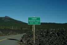
McKenzie Summit
McKenzie Pass Summit
Elevation 5325'

McKenzie Summit
McKenzie Summit
Hwy.242 towards Sisters, OR
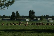
Elk on Hwy.242 near Sisters
Elk on Hwy.242 near Sisters, OR

LAVA CAMP LAKE CAMPGROUND
LATITUDE: N 44°15.640
LONGITUDE: W 121°47.177
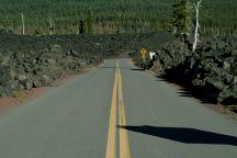
Road#900 near McKenzie Summit
West from Dee Wright Observatory

SCOTT LAKE CAMPGROUND
This is a free campground...
LATITUDE: N 44°12.646
LONGITUDE: W 121°53.245
(GPS From information sign near entrance)
LATITUDE: N 44°12.704
LONGITUDE: W 121°53.407
(GPS From dispersed campsite)
Hwy. 242 between milepost 71- 72
Road#260 for 1/2 mile
Picnic tables, firerings, and outhouse.
A couple sites with parking and walk-in
tent sites. Trailheads lead to many small
lakes within a short distance...

ALDER SPRINGS CAMPGROUND
This is a free campground...
LATITUDE: N 44°10.625
LONGITUDE: W 121°54.802
Highway 242 near milepost 65.8
Picnic tables, metal firerings, and outhouse.
Trailhead for Linton Lake
Small campground with 6 picnic tables,
5 firerings, and limited parking
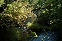
Road 247 Creek
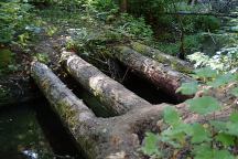
View from Log Bridge on Road#247

Historic Log Vehicular Bridge
Log Vehicular Bridge on Road#247
Road overgrown with trees and brush

ROAD#247
LATITUDE: N 44°09.675
LONGITUDE: W 121°59.622
Log Vehicular Bridge...
This is historic but goes mostly unnoticed.
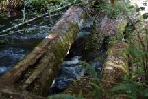
Historic Log Vehicular Bridge
Log Vehicular Bridge on Road#220

ROAD#220
LATITUDE: N 44°10.304
LONGITUDE: W 122°02.215
From Hwy.224 near milepost 57.5
Turn on Road#220 and bridge about 1/4 mile
Another Historic Log Vehicular Bridge...
This bridge is mostly collapsed...

Fire Prevention Sign
Rest Area on Hwy.22 near Detroit, OR

IT IS YOUR RESPONSIBILITY TO KNOW
WHAT FIRE RESTRICTIONS ARE IN EFFECT
Axe, shovel, and 5 gallons of water recommended
and might be required. Fire extinguisher and gloves
are a good idea.

Wilderness Permit
Wilderness Permit
Available at most of the Trailheads
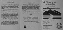
Mount Washington Rules
Mount Washington Wilderness
Rules and Regulations (Part 1)
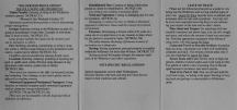
Mount Washington Rules
Mount Washington Wilderness
Rules and Regulations (Part 2)

DIRECTIONS:
From Sisters, OR
Hwy.20 on west end of town
Turn on Highway 242
Lava Camp 14 1/2 miles
Dee Wright Observatory 15 miles
Alder Springs Campground 26 miles
(Highway 242 near milepost 66)

From Eugene / Springfield
Take Highway 126 for xx miles
Turn left on Highway 242
Alder Springs is near Milepost 66

ROAD CONDITIONS:
Highway 242 is paved
Narrow, curves, and steep grades
Vehicles over 35' prohibited
Closed in winter.

MAP
These are our personal hand drawn maps
Not guaranteed for accuracy

Water at Cold Springs Campground
Hwy.242 / MP 88 towards Sisters, OR.

Water at Big Lake Campgrounds
Hwy.20 / MP 80 towards Hoodoo Ski Bowl
Take Big Lake Road for 3 miles
Closed winter months starting in October.

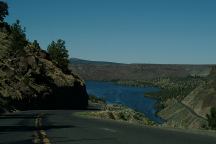
Lake Billy Chinook
Lake Billy Chinook

Also see: DETROIT LAKE
Also see:
GREEN PETER LAKE
Also see:
HAYSTACK RESERVOIR
Also see:
JACK LAKE ROAD
Also see:
LAKE BILLY CHINOOK
Also see:
LOST LAKE CAMPGROUND
Also see:
McKENZIE / ALDER SPRINGS
Also see:
McKENZIE / LAVA CAMP LAKE
Also see:
McKENZIE / SCOTT LAKE
Also see:
OLALLIE SCENIC AREA
Also see:
ROAD#46
Also see:
ROUND LAKE
Also see:
SMITH RESERVOIR

Google Custom Map Free Oregon Campgrounds
Google Custom Map by Ian

OREGON FREE CAMPGROUND MAP
Google custom map by Ian with most of the
free campgrounds in Oregon
.

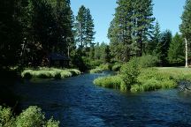
Metolius River
Metolius River

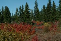
Autumn Colors near Fish Lake
Highway 126
Autumn Colors near Fish Lake

CAMPGROUND INDEX
Complete free campground listing

CAMPING ADVICE AND TIPS

TOURIST PHOTOS

Copyright Notice
www.eugenecarsey.com

dispersedcampgrounds.com
Free camping and campgrounds
OREGON CAMPGROUND DIRECTORY
WILLAMETTE NATIONAL FOREST
ALDER SPRINGS CAMPGROUND