|
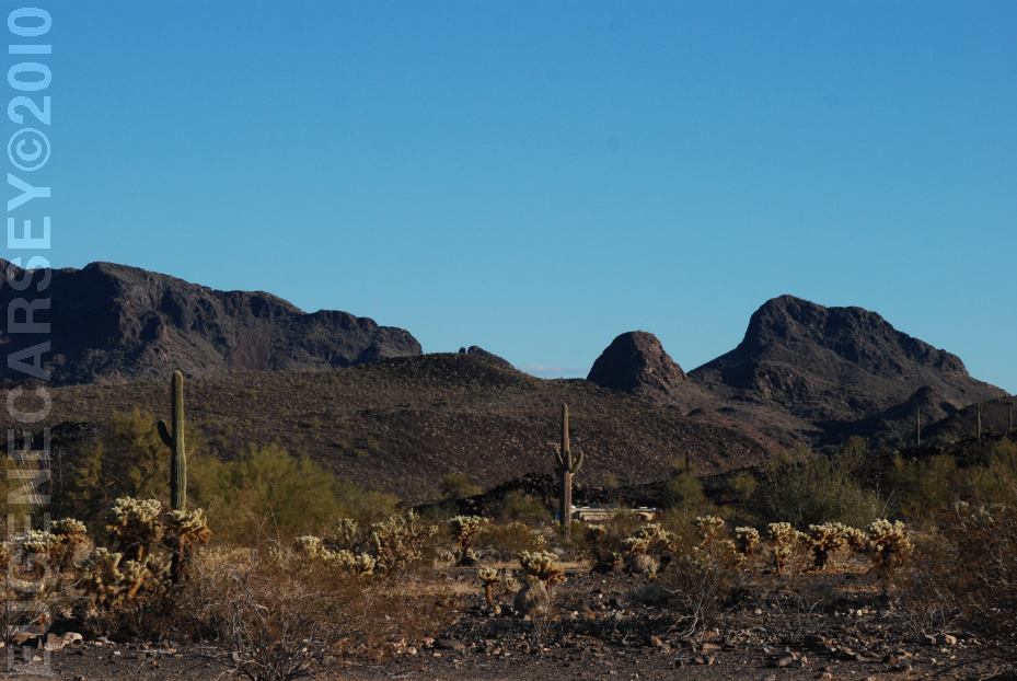
Gold Nugget Road
LATITUDE: N 33°40.510
LONGITUDE: W 114°04.735
East from Quartzsite, AZ
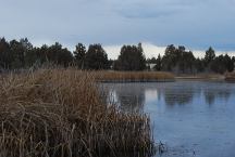
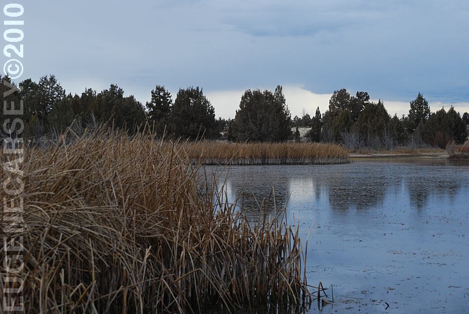
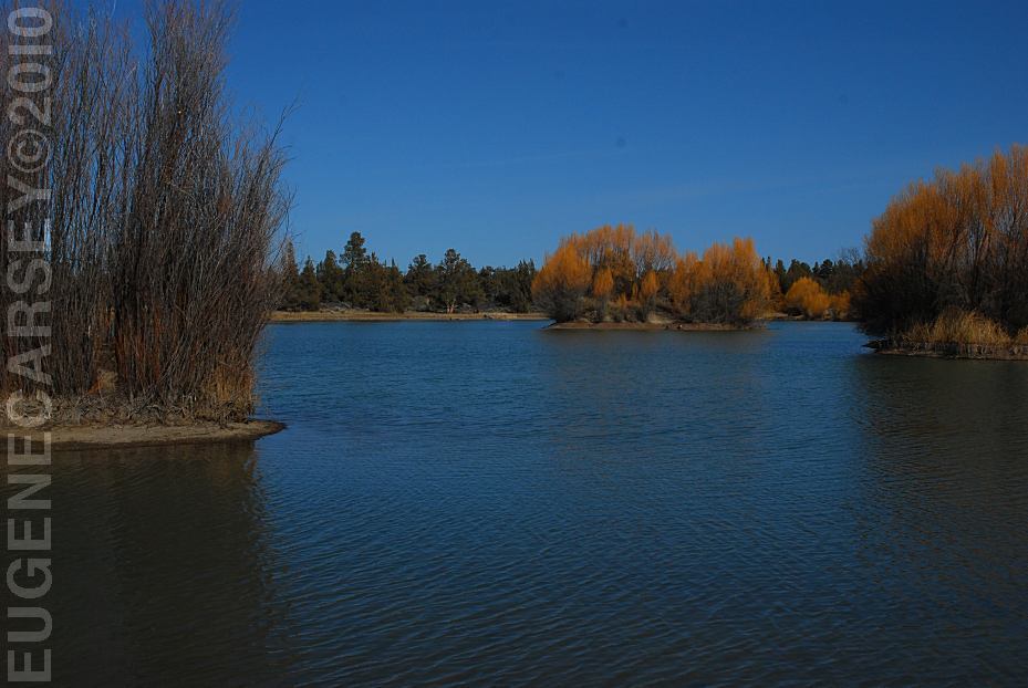
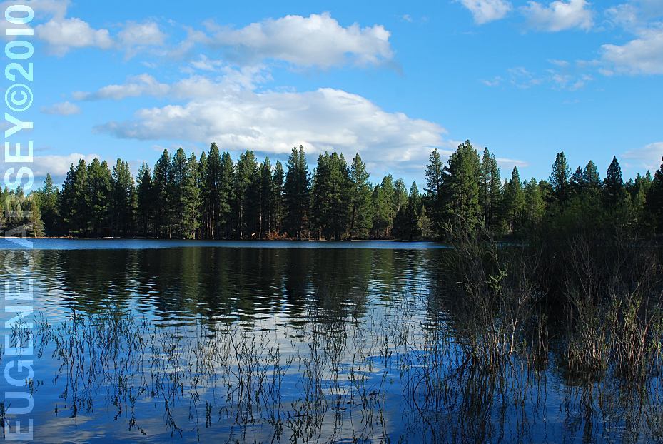
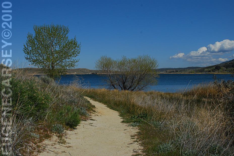
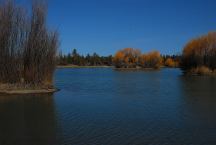
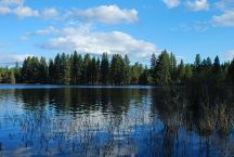
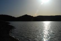
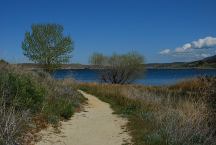
Mayfield Pond
LATITUDE: N 44°04.980
LONGITUDE: W 121°07.830
East from Bend, OR
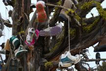
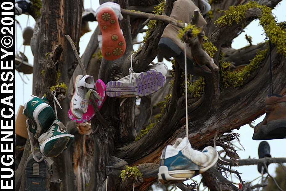
Tree covered with shoes
LATITUDE: N 44°04.484
LONGITUDE: W 120°56.963
SW Reservoir Road near Alfalfa, OR
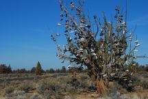
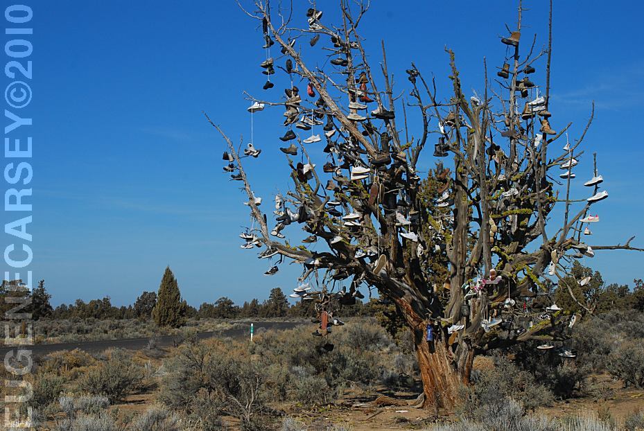
Tree covered with shoes
LATITUDE: N 44°04.484
LONGITUDE: W 120°56.963
SW Reservoir Road near Alfalfa, OR
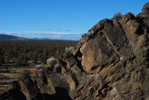
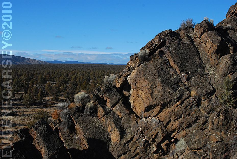
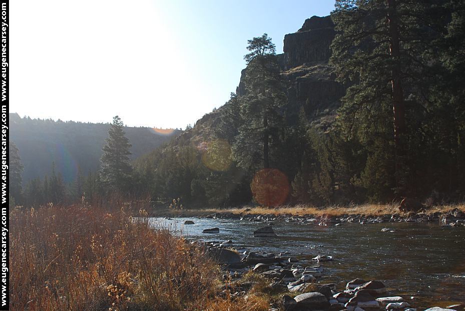
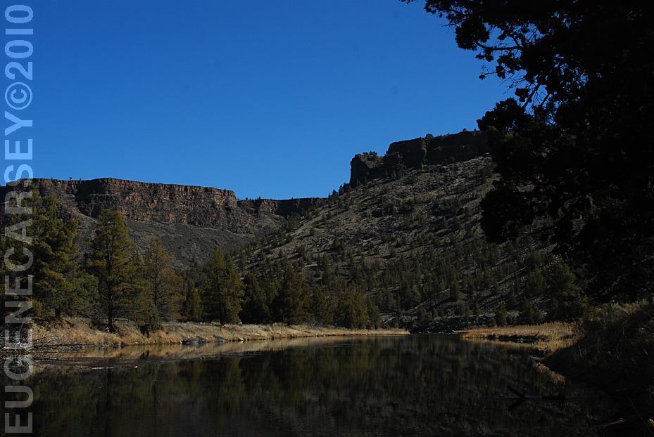
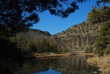
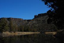
Badlands Rock
LATITUDE: N 43°59.489
LONGITUDE: W 121°01.648
East from Bend, OR
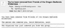
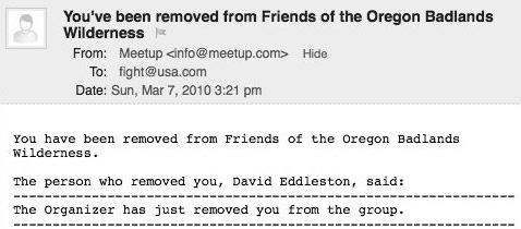
We were kicked out of the Friends
of the Oregon Badlands group by the
organizer David Eddleston. We have
never met David Eddleston and
don't know his motivations.
Reynolds Pond near Alfalfa, OR
LATITUDE: N 44°03.540
LONGITUDE: W 121°00.895
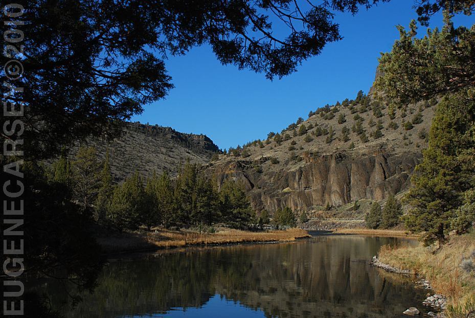
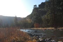
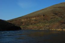
Lower Palisades Recreation Area
Crooked River near Prineville, OR
LATITUDE: N 44°07.860
LONGITUDE: W 120°49.450
Poison Butte Recreation Area
Crooked River near Prineville, OR
LATITUDE: N 44°07.175
LONGITUDE: W 120°47.850
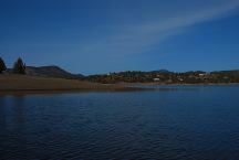
Tumalo Reservoir
LATITUDE: N 44°08.145
LONGITUDE: W 121°25.700

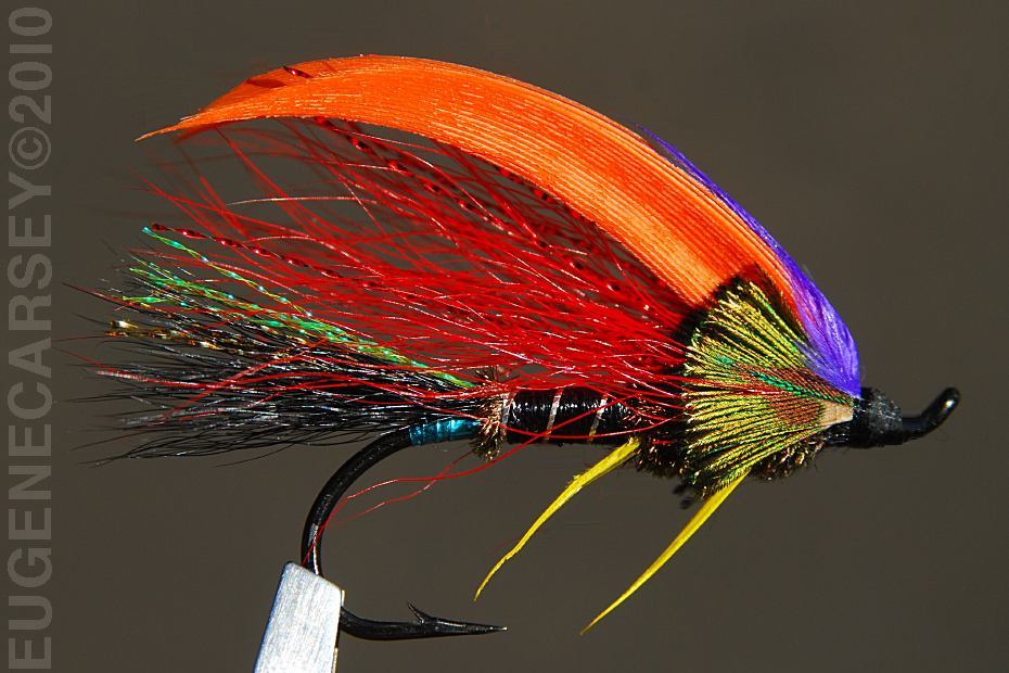
Been tying some crazy flies....
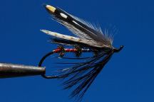
Tarzana Steelhead Fly
http://www.flytyinginstruction.com
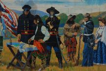
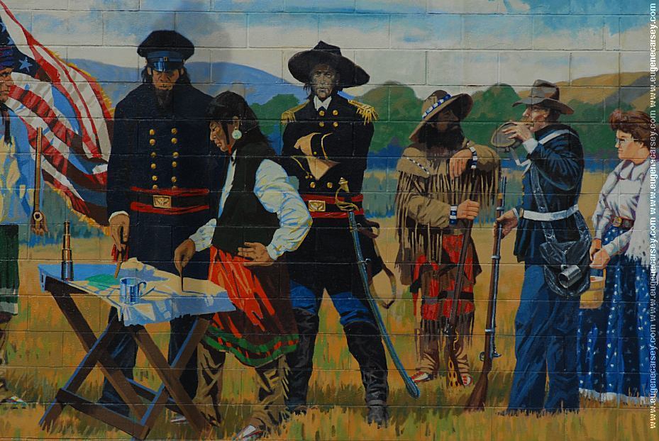
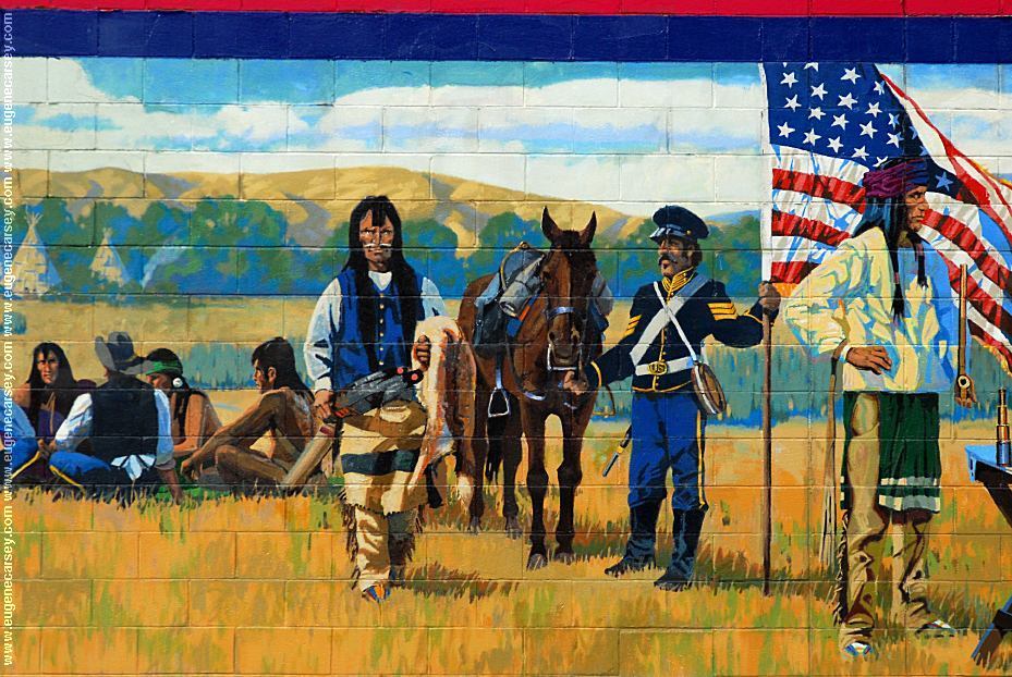
Peace Treaty of 1855
Mural on Tum-A-Lum Lumber
The Dalles, OR
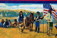
Peace Treaty of 1855
|
Stillwater Campground
LATITUDE: N 44°08.700
LONGITUDE: W 120°49.765
Crooked River near Prineville, OR
Roberts Bay West
LATITUDE: N 44°07.310
LONGITUDE: W 120°43.015
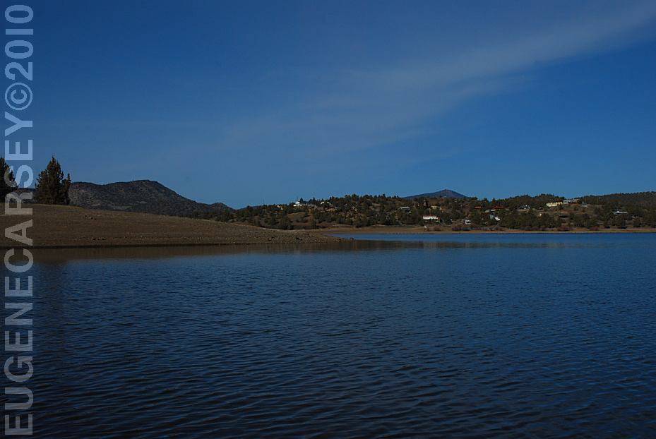
Prineville Reservoir
Roberts Bay East
LATITUDE: N 44°07.220
LONGITUDE: W 120°42.130
Prineville Reservoir
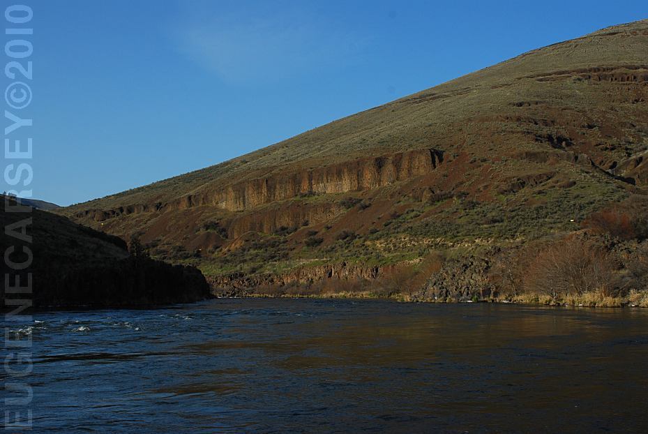
Deschutes River
Buck Hollow Boat Launch
LATITUDE: 45°16.050
LONGITUDE:121°01.135
Highway 216 between Maupin
and Grass Valley
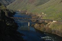
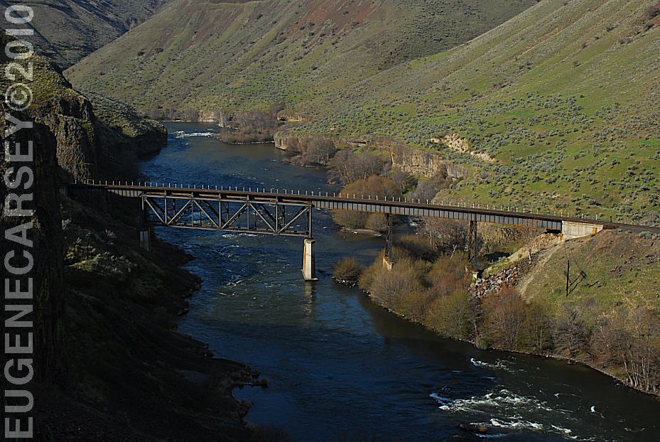
Train Bridge over the Deschutes River
LATITUDE: N 45°17.430
LONGITUDE: W 121°01.300
East from Maupin, OR
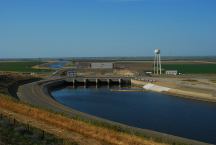
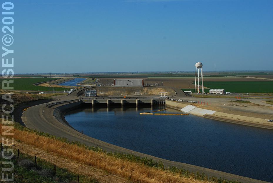
Dos Amegos Pumping Plant
California Aqueduct
LATITUDE: N 36°55.150
LONGITUDE: W 120°49.700
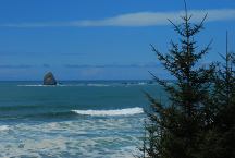
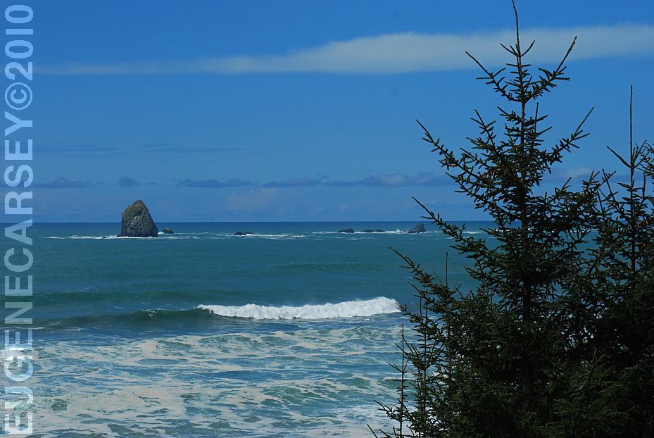
Oregon Coast / Pacific Ocean
LATITUDE: N 42°12.875
LONGITUDE: W 124°22.495
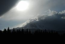
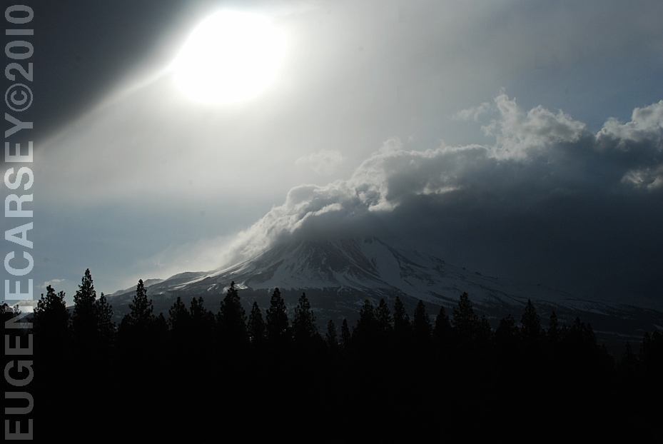
Mount Shasta
LATITUDE: N xx°xx.xxx
LONGITUDE: W xxx°xx.xxx
From Hwy.97 north of Weed, CA
Quail Lake
LATITUDE: N 34°46.367
LONGITUDE: W 118°45.577
Hwy.138 north from Los Angels, CA
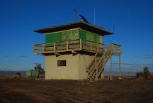
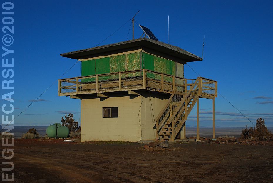
Green Mountain Lookout
Christmas Valley, OR
LATITUDE: N 43°23.204
LONGITUDE: W 120°43.499
Elevation: 5230'
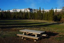
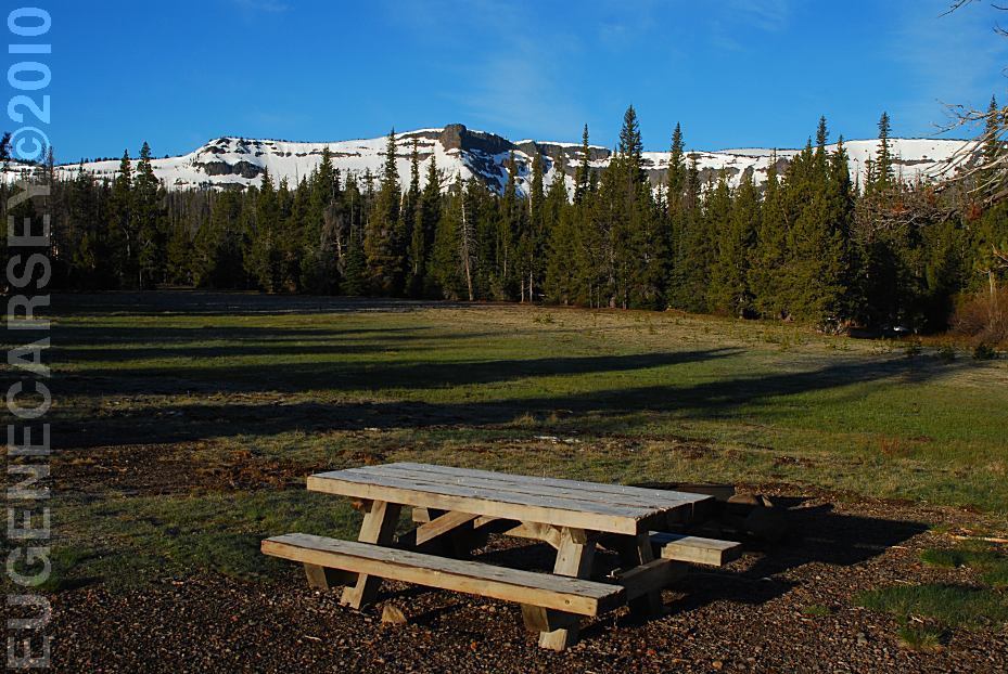
Three Creeks Meadow Campground
LATITUDE: N 44°06.880
LONGITUDE: W 121°37.545
Elevation: 6330'
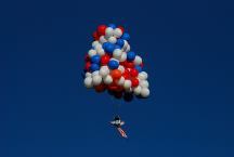
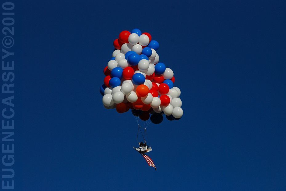
Kent Couch Lawn Chair attached
to Balloons filled with helium in
the first ever Cluster Balloon Race.
|