|
|


|
Free Campgrounds and Camping |
There are no established campgrounds, There is a rest area on Highway 722 There are a couple old structures on
Highway 722 (Old Highway 50)
but several areas you could overnight
park. Even if you set-up a tent or whatever,
nobody is going to bother you. Don't see a
lot of cars, mostly ranchers or farmers...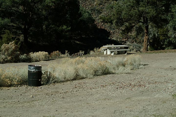
Rest Area on Highway 722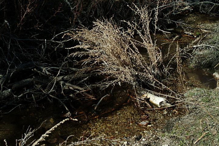
Rest Area on Highway 722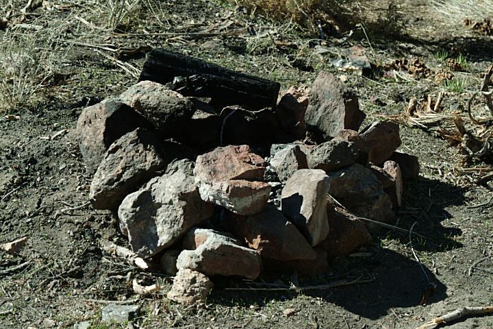
Firering at the Rest Area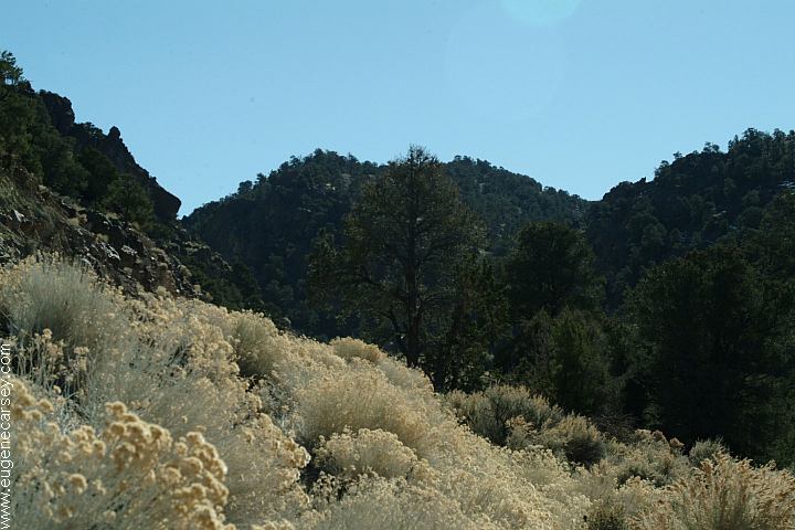
Views from the Rest Area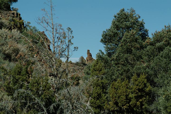
Views from the Rest Area
You could overnight park...
Picnic Table
Primitive Firerings
Garbage Service
N 39°14.385'
W 117°46.702'
Accuracy 66 Feet
Elevation: 6264'
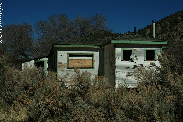
Buildings on Highway 722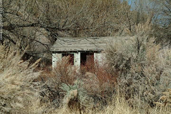
Buildings on Highway 722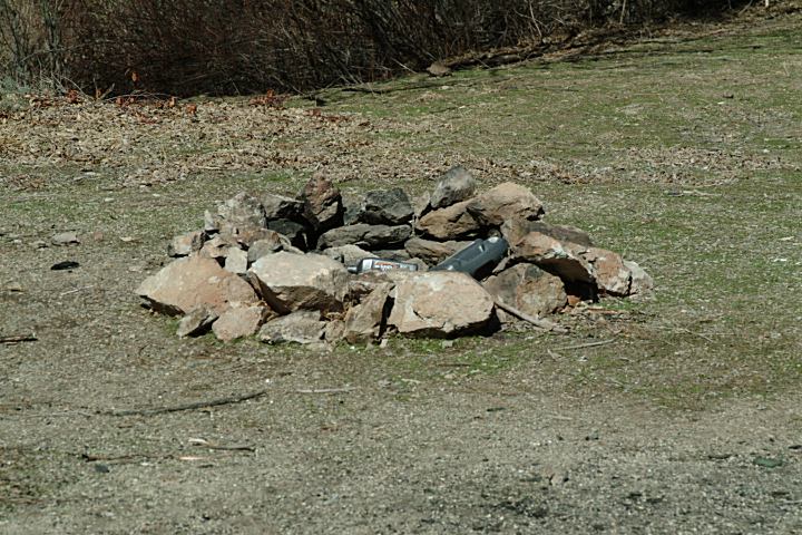
Firering near above Buildings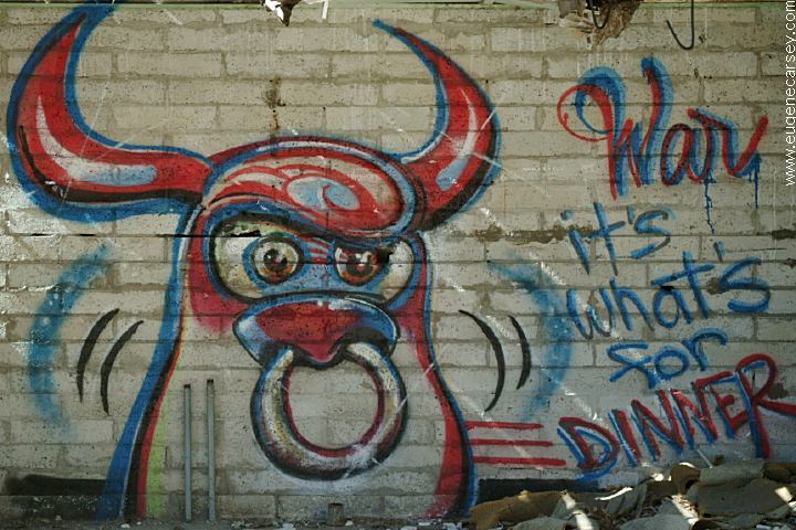
Graffiti on above buildings...
Highway 722. People have camped
here and built firerings.
N 39°15.658'
W 117°40.913'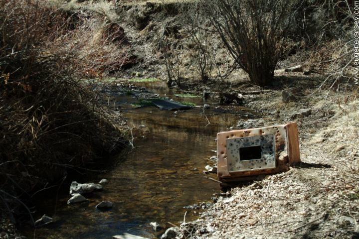
Stream near above Buildings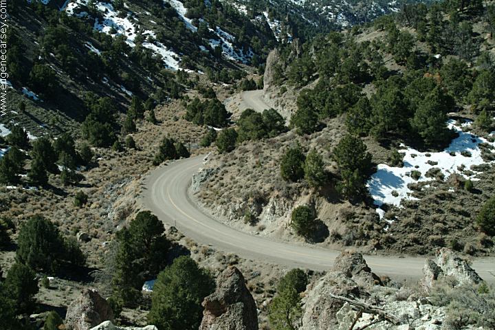
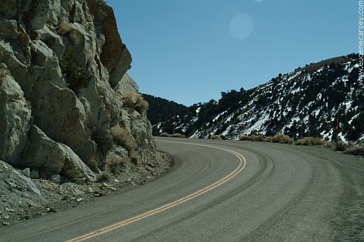
Highway 722 (Old Highway 50)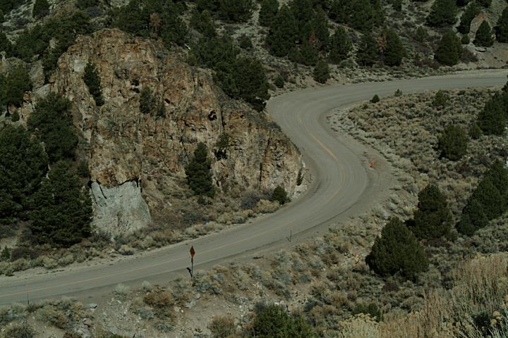
Highway 722 (Old Highway 50)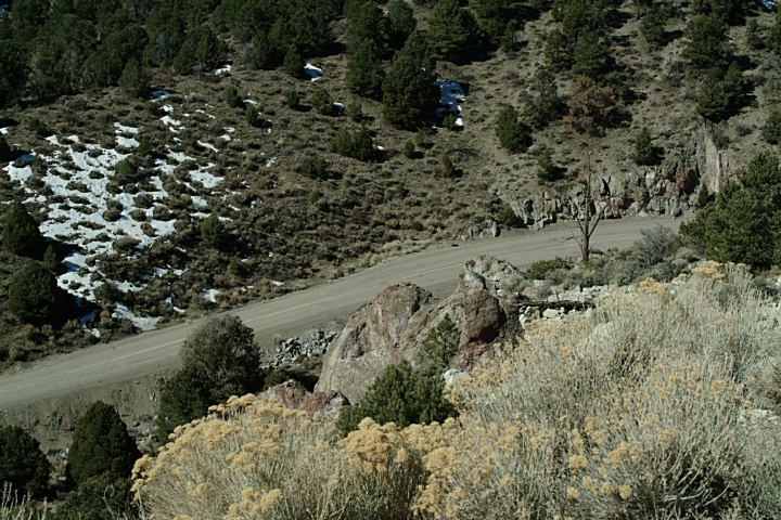
Highway 722 (Old Highway 50)
Highway 722 (Old Highway 50)
DIRECTIONS: Camped here March 17, 2007 We have seen about 1/2 dozen shoe trees Showers at Lahontan Reservoir Also see: GREAT BASIN CAMPGROUND INDEX dispersedcampgrounds.com
Highway.50
About 55 miles east from Fallon, NV
About 2 miles west from Austin, NV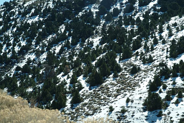
Snow along Highway 722
March 17, 2007
We camped here a couple times...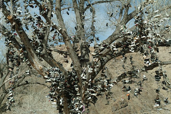
Shoe Tree on Highway 50
About 50 miles east from Fallon, NV
N 39°17.655'
W 117°59.196'
in our travels. Mostly in Nevada and California.
By the next year they have been cut down.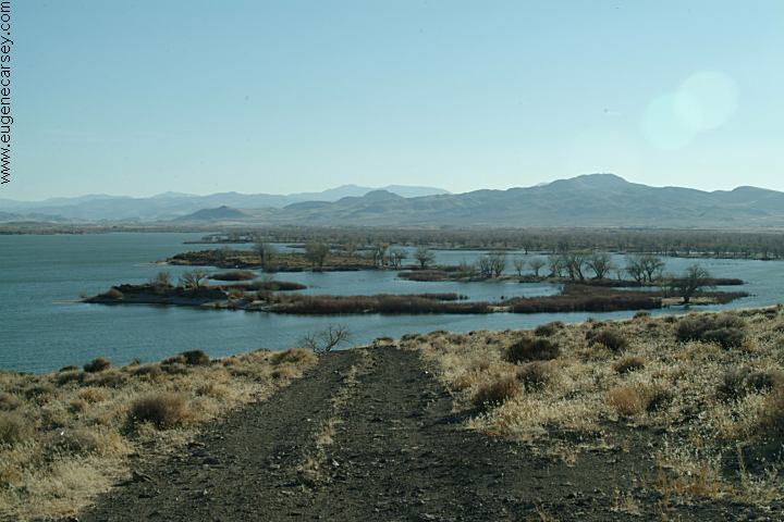
Lahontan Reservoir
N 39°25.083'
W 119°10.445'
$5.00 Day Use Permit
Strict about payments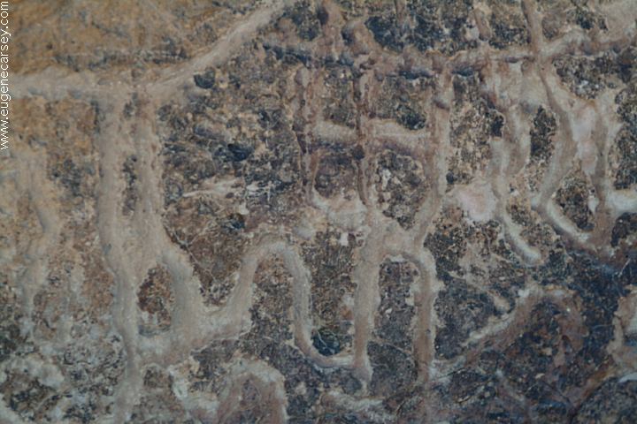
Hickison Petroglyphs
Also see: HICKISON
PETROGLYPHS
Also see: WALKER
LAKE
Also see: WILSON
CANYON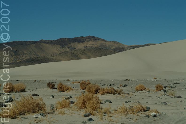
Sand Mountain Recreation Area
Highway.50 east from Fallon, NV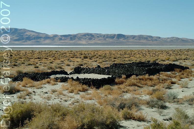
Sand Mountain Pony Express Station
Highway.50 east from Fallon, NV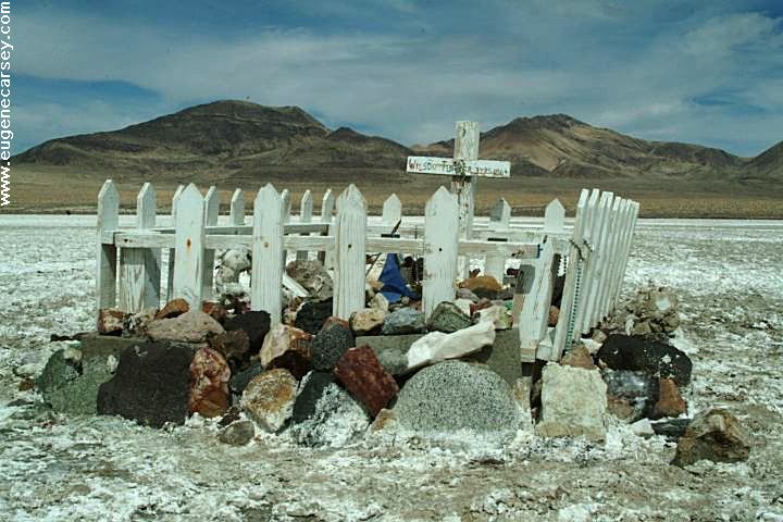
Wilson Turner 3YRS 1864
Hwy.50 near Sand Mountain
N 39°17.488
W 118°26.868
Complete free campground listing
Free campgrounds and camping
NEVADA CAMPGROUND DIRECTORY
HIGHWAY 722 NEVADA
