|
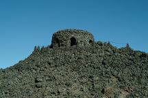
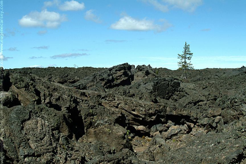
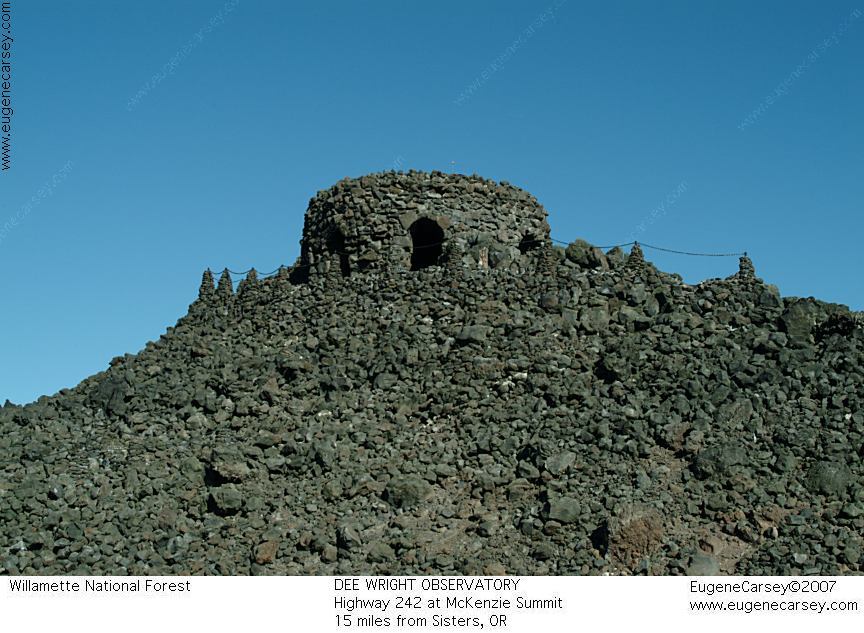
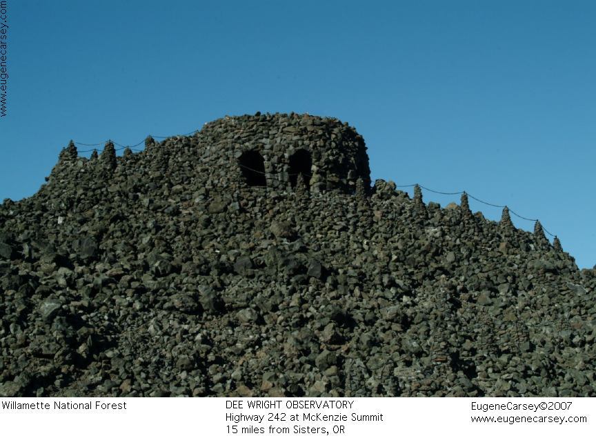
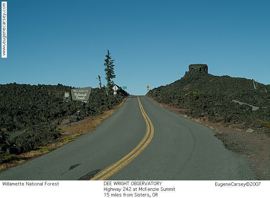
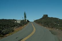
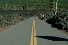
Dee Wright Observatory
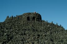
Dee Wright Observatory
DEE WRIGHT OBSERVATORY
LATITUDE: N 44°15.633
LONGITUDE: W 121°48.072
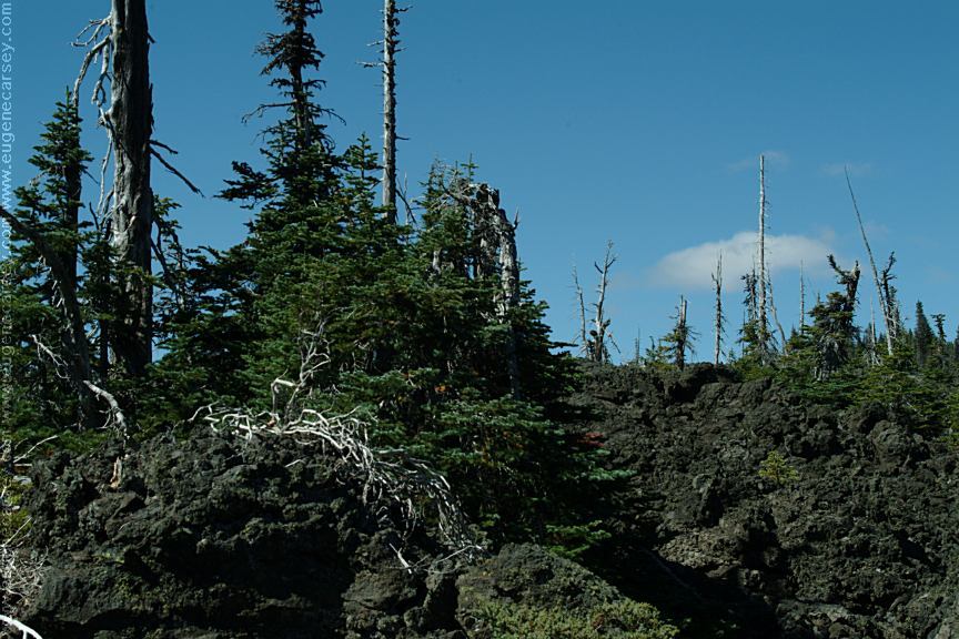
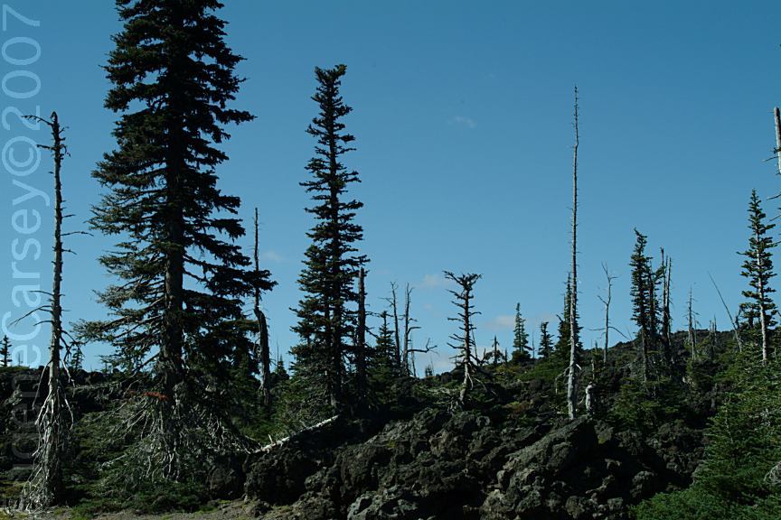
Mystical and magical are terms used to describe
Dee Wright Observatory near McKenzie Summit.
Hwy.242 about 15 miles from Sisters, OR
Walk to the top and there is a mountain identifier.
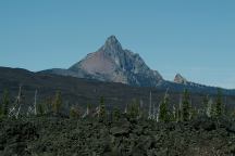
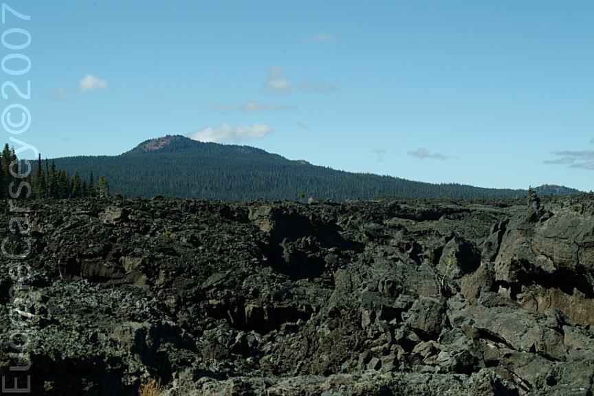
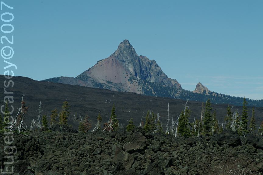
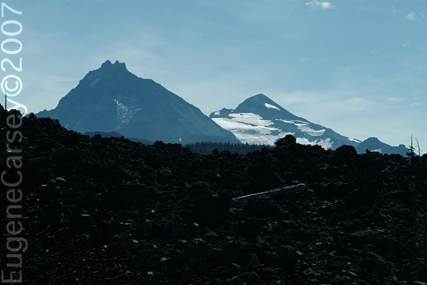
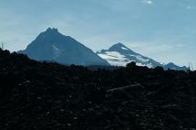
Mount Washington
Viewed from Dee Wright Observatory
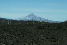
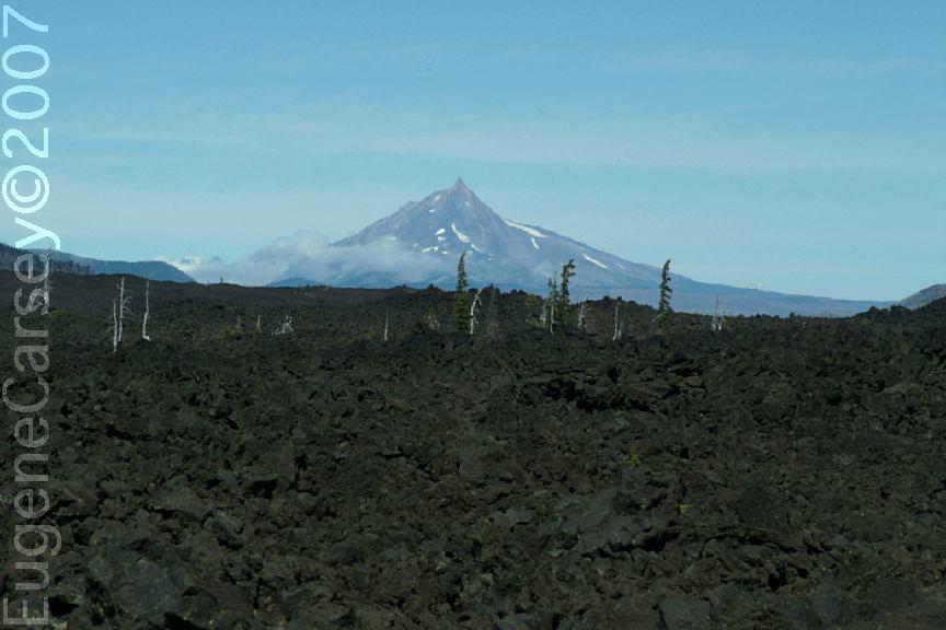
Mount Jefferson
Viewed from Dee Wright Observatory
Three Sisters Mountains
(North and Middle Sisters Mountains)
Viewed from Dee Wright Observatory
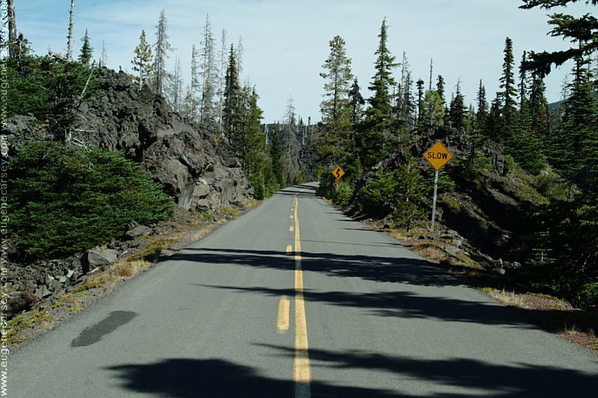
Dee Wright Observatory
Hwy.242 / McKenzie Summit
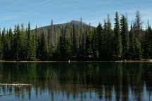
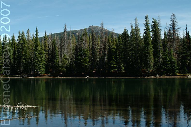
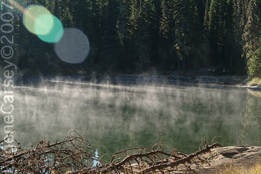
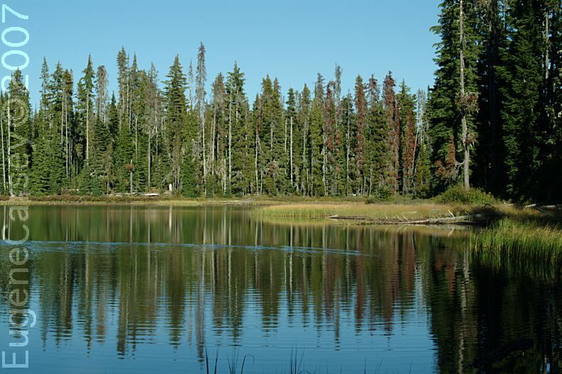
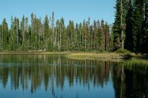
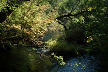
Lava Camp Lake
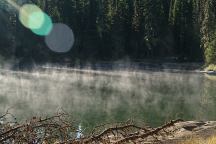
Morning Mist on Lava Camp Lake
September 24, 2007
LAVA CAMP LAKE
CAMPGROUND
LATITUDE: N 44°15.640
LONGITUDE: W 121°47.177
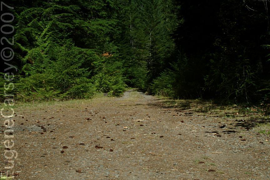
Road#900 near McKenzie Summit
1/2 mile west from Dee Wright Observatory
Scott Lake Campground
SCOTT LAKE CAMPGROUND
This is a free campground...
LATITUDE: N 44°12.646
LONGITUDE: W 121°53.245
(GPS From information sign near entrance)
LATITUDE: N 44°12.704
LONGITUDE: W 121°53.407
(GPS From dispersed campsite)
Hwy. 242 between milepost 71- 72
Road#260 for 1/2 mile
Picnic tables, firerings, and outhouse.
A couple sites with parking and walk-in
tent sites. Trailheads lead to many small
lakes within a short distance...
ALDER SPRINGS CAMPGROUND
This is a free campground...
LATITUDE: N 44°10.625
LONGITUDE: W 121°54.802
Highway 242 near milepost 65.8
Picnic tables, metal firerings, and outhouse.
Trailhead for Linton Lake
Small campground with 6 picnic tables,
5 firerings, and limited parking
LIMBERLOST CAMPGROUND
Fee Area / Open in summer months
LATITUDE: N 44°10.426
LONGITUDE: W 122°03.238
Highway 242 near milepost 57
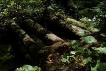
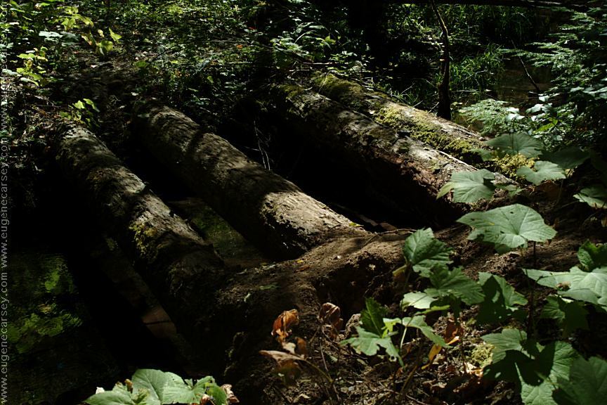
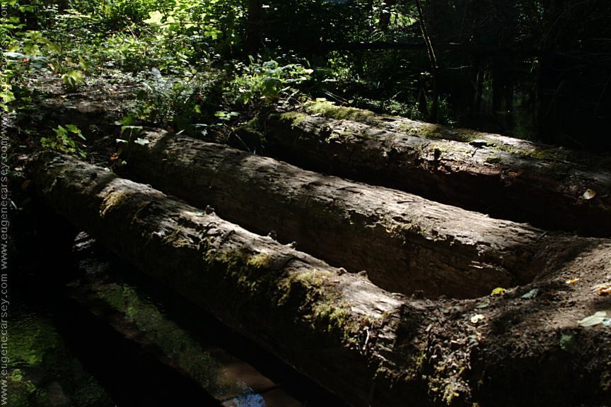
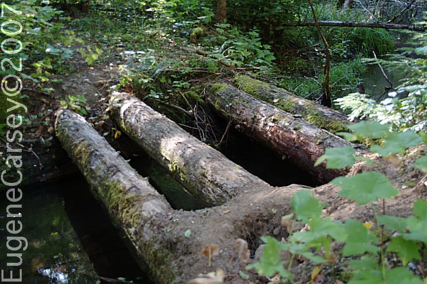
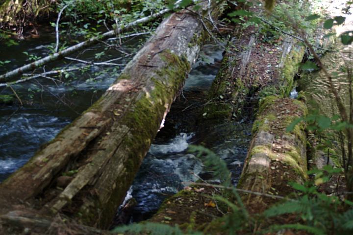
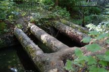
Historic Vehicular Log Bridge on Road#247
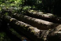
Historic Vehicular Log Bridge on Road#247
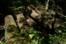
Historic Vehicular Log Bridge on Road#247
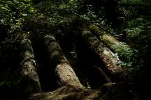
Historic Vehicular Log Bridge on Road#247
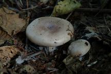
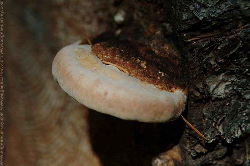
Mushrooms on Road#247
Road#247
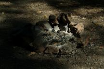
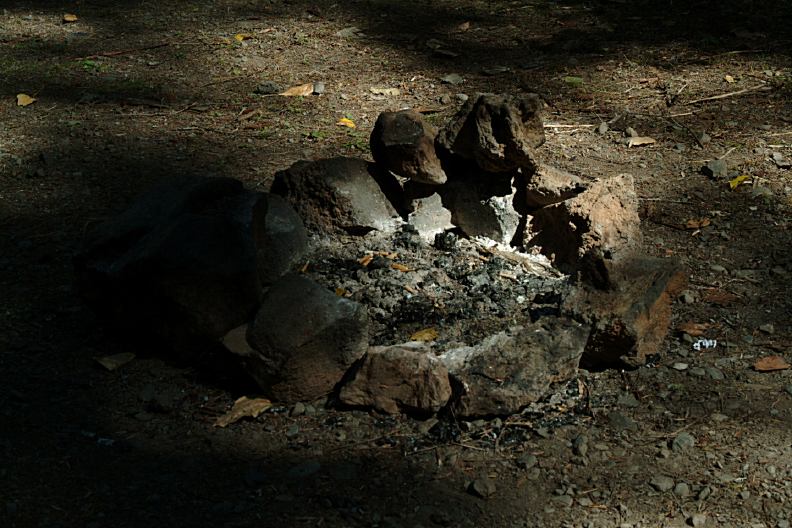
Road#247 Primitive Camp and Firering
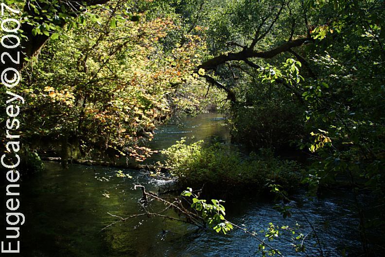
View from Log Bridge on Road#247
Log Vehicular Bridge on Road#247
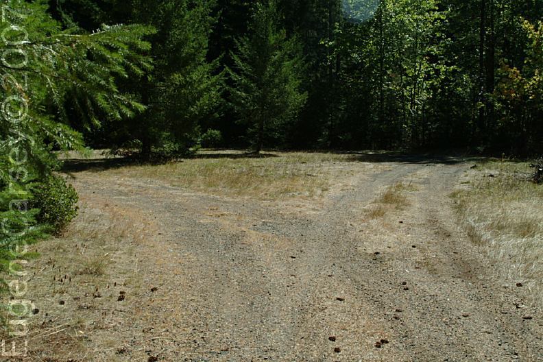
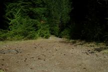
Road overgrown with trees and brush
ROAD#247
LATITUDE: N 44°09.675
LONGITUDE: W 121°59.622
From Hwy.224 near milepost 60.2
Log Vehicular Bridge...
This is historic but goes mostly unnoticed.
There is a primitive campsite near the bridge.
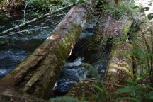
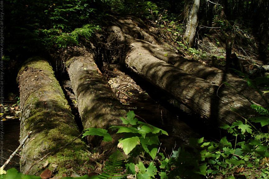
Log Vehicular Bridge on Road#220
ROAD#220
LATITUDE: N 44°10.304
LONGITUDE: W 122°02.215
From Hwy.224 near milepost 57.5
3/4 mile east from Limberlost Campground
Turn on Road#220 and bridge about 1/4 mile
Another Historic Log Vehicular Bridge...
This bridge is mostly collapsed...
For good photos of the bridge, you need artificial
lighting, because it is always shaded.
Primitive campsite near the bridge.
PHOTO HERE
Dispersed camp area between milepost 59 - 60
DISPERSED CAMP
LATITUDE: N 44°09.655
LONGITUDE: W 122°00.673
Dispersed camp area between milepost 59 - 60
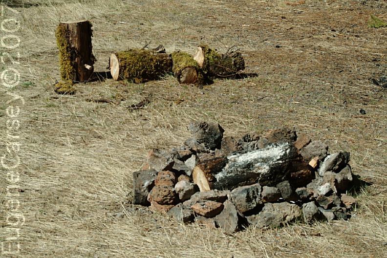
Big turn-around area with primitive firerings
DISPERSED CAMP AT MILEPOST 59
There is a dispersed campsite at milepost 59
No photos or information. Looks nice.
COLD SPRINGS CAMPGROUND
Fee Area / $12.00
Deschutes National Forest
LATITUDE: N 44°18.577
LONGITUDE: W 121°37.790
Fee Area / Hwy.242 xx miles from Sisters, OR
(Near milepost 88)
Picnic tables, metal firerings, outhouses
Water and garbage service.
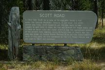
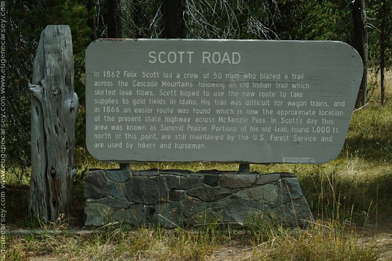
Scott Road Historic Sign
SCOTT ROAD HISTORIC SIGN
LATITUDE: N 44°12.618
LONGITUDE: W 121°52.554
In 1862 Felix Scott led a crew of 50 men
who blazed a trail across the Cascade Mountains
following an old Indian trail which skirted the
lava flows. Scott hoped to use the new route...
Click above image for large view
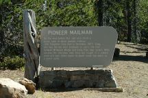
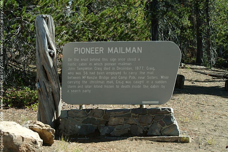
Pioneer Mailman Historic Sign
PIONEER MAILMAN HISTORIC SIGN
LATITUDE: N 44°14.924
LONGITUDE: W 121°50.342
Highway 242 between milepost 75 - 76
The mailman was caught in a sudden storm
and froze to death while delivering the
Christmas mail in 1877.
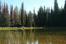
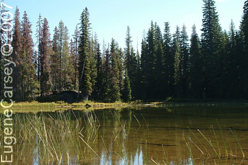
Small lake east from Pioneer Mailman Historic Sign
xx LAKE
LATITUDE: N 44°14.954
LONGITUDE: W 121°50.225
Just east from Pioneer Mailman Historic Sign

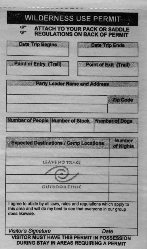
Wilderness Permit
Available at most of the Trailheads
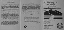
Mount Washington Wilderness
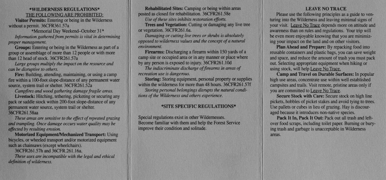
Rules and Regulations (Part 1)

Mount Washington Wilderness
Rules and Regulations (Part 2)
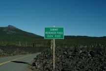
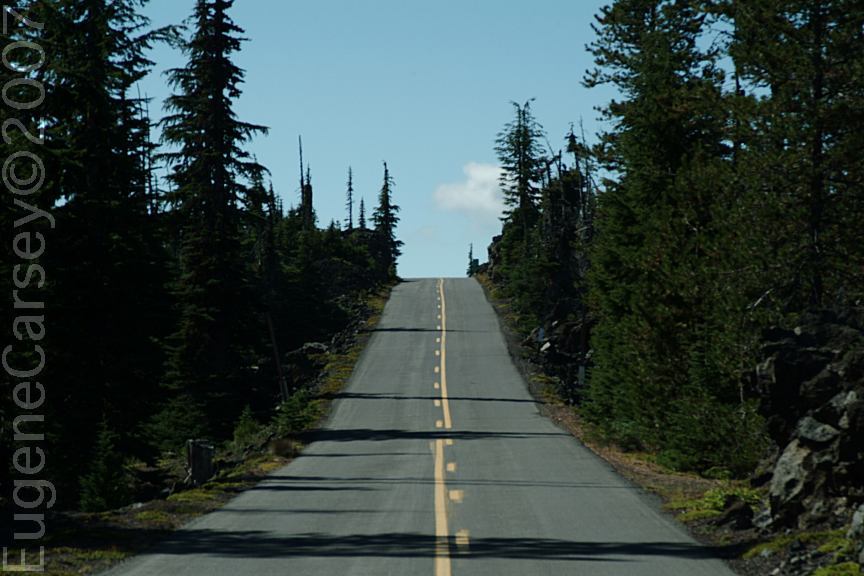
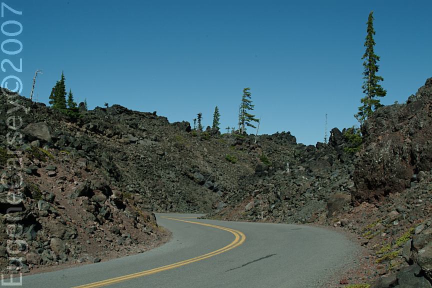
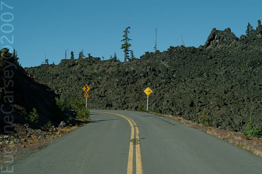
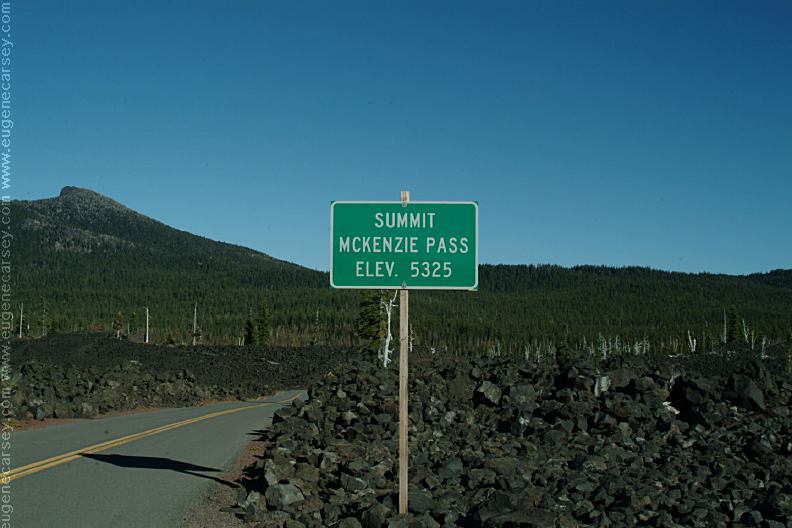
McKenzie Summit / Elevation 5325'
McKenzie Summit
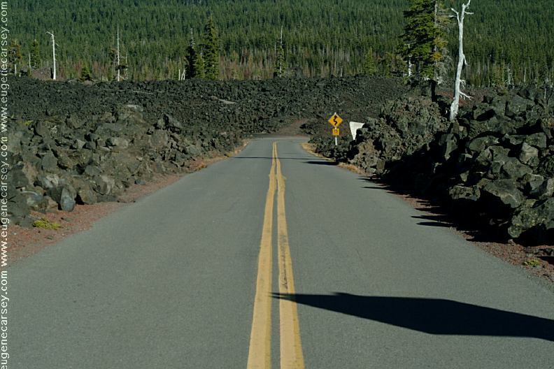
Hwy.242 towards Sisters, OR
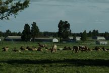
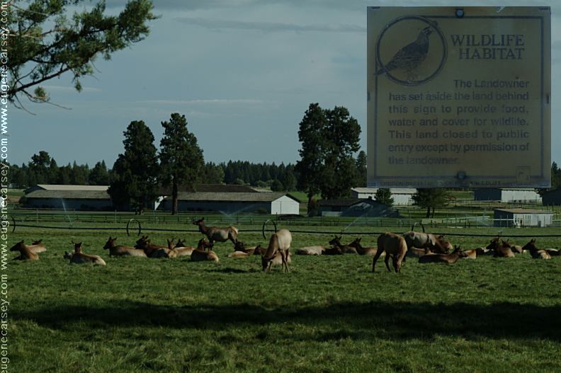
Elk on Hwy.242 near Sisters, OR
|