|
|


|
Free campgrounds and camping
|
There are some dispersed campsites at There are more dispersed camps near
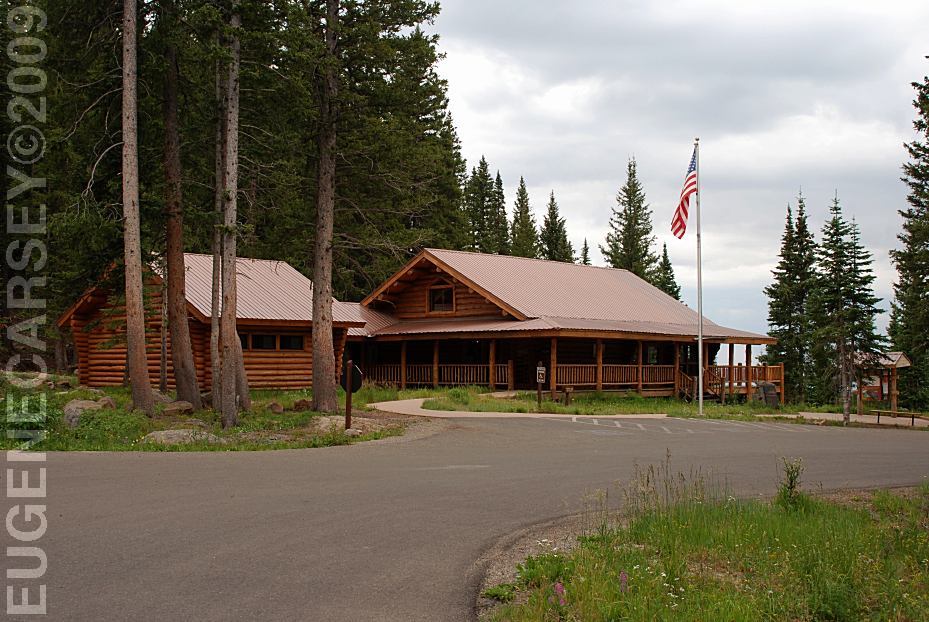
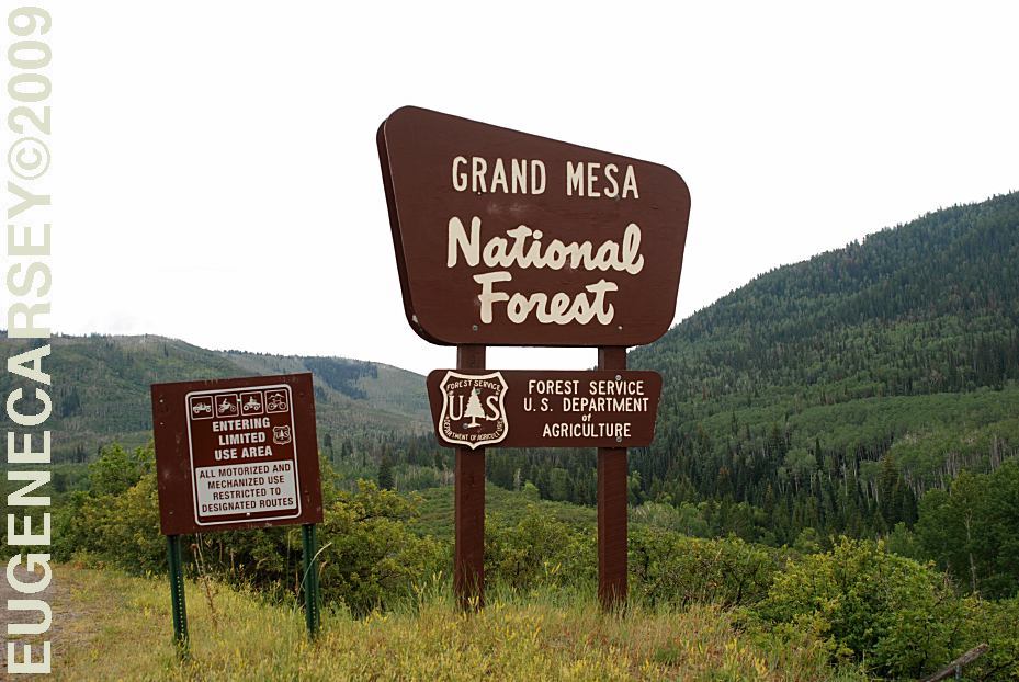
Grand Mesa Visitor Center
LATITUDE: N 39°02.379
LONGITUDE: W 107°59.221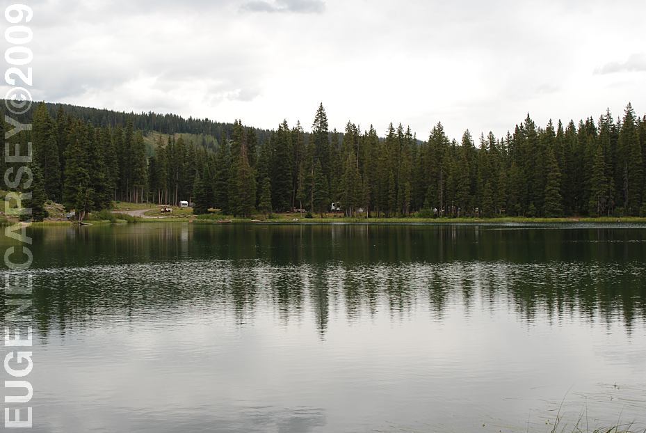
Island Lake
Near Grand Mesa Visitor Center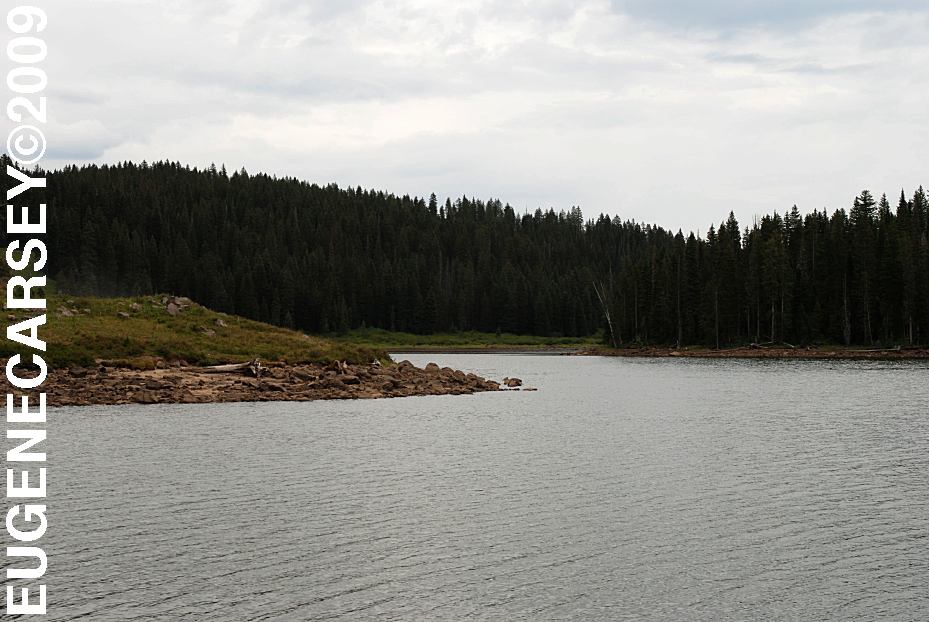
Eggleston Lake
LATITUDE: N 39°02.807
LONGITUDE: W 107°56.560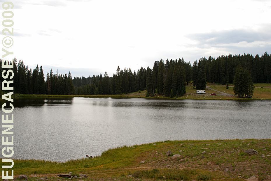
Youngs Creek Reservoir #3
LATITUDE: N 39°02.651
LONGITUDE: W 107°54.922
Elevation around 10,200'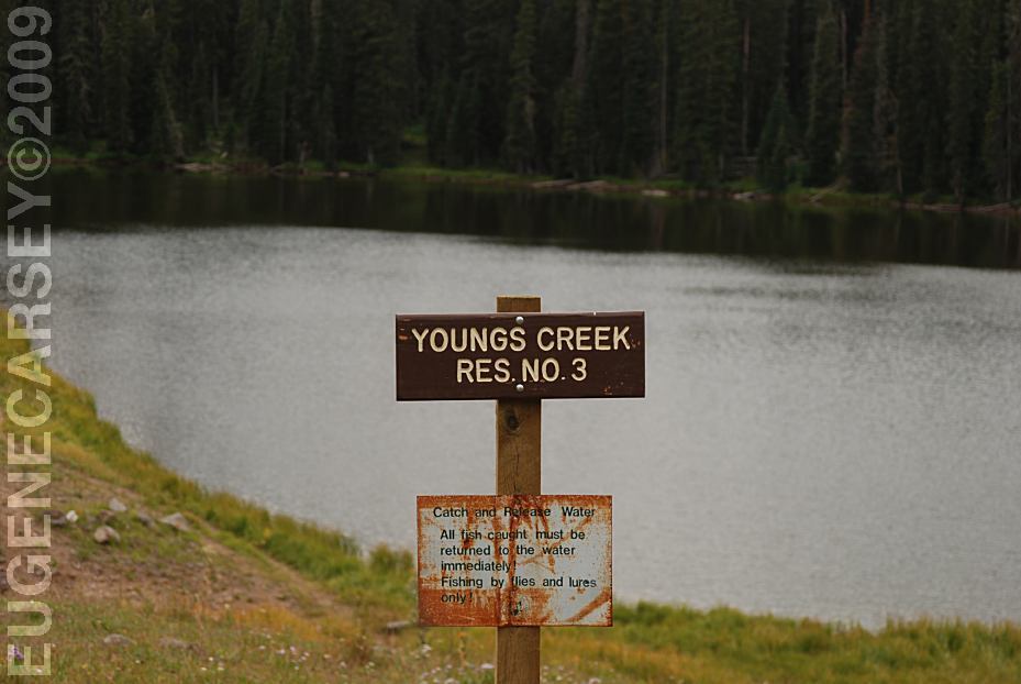
Youngs Creek Reservoir #3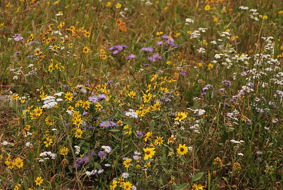
Wildflowers at Youngs Creek Reservoir #3
Youngs Creek Reservoir #3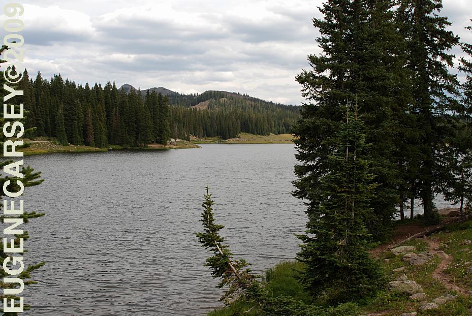
Big Creek Reservoir?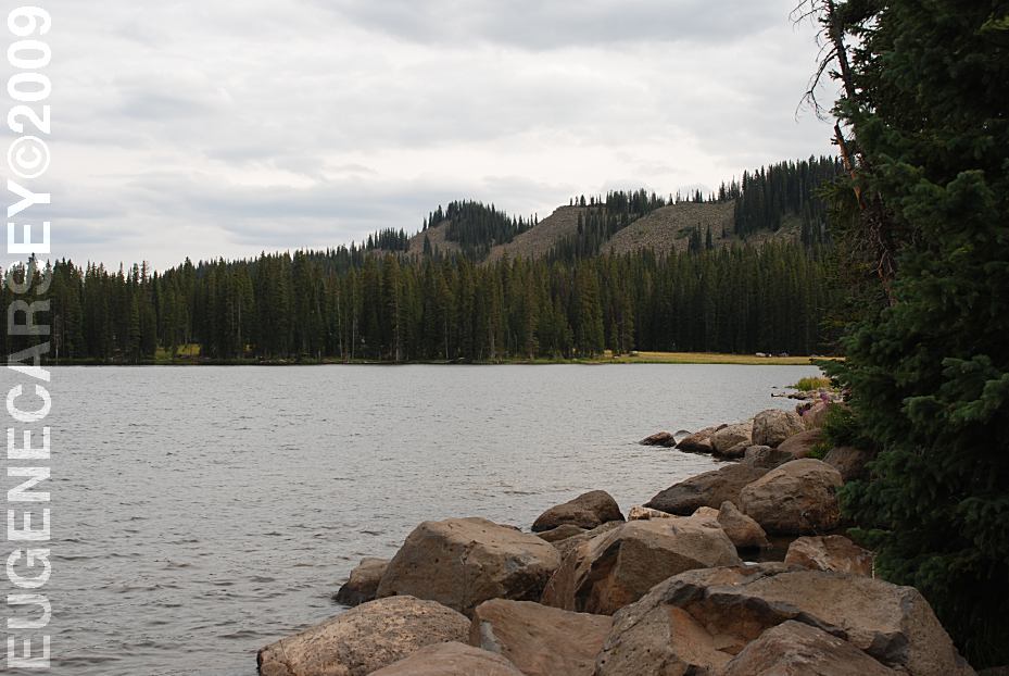
Big Creek Reservoir?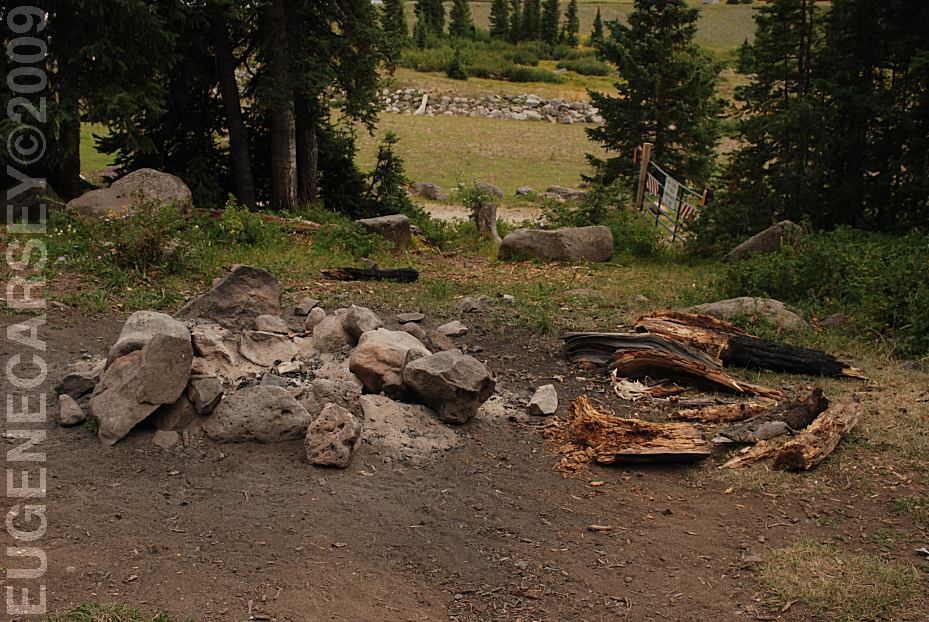
Campsite on Big Creek Reservoir?
LATITUDE: N 39°04.965
LONGITUDE: W 107°53.297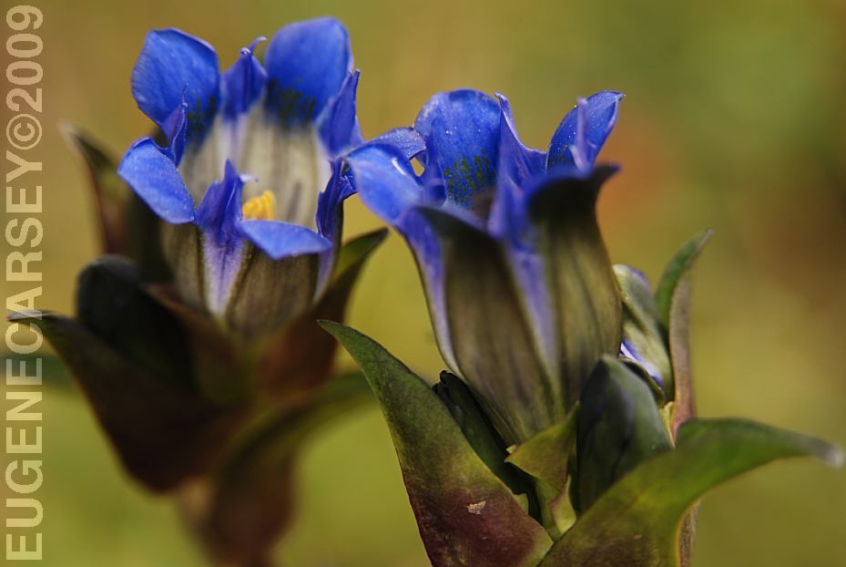
Flowers at Big Creek Reservoir?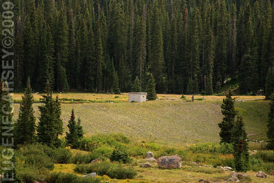
Dam at Big Creek Reservoir?
Big Creek Reservoir?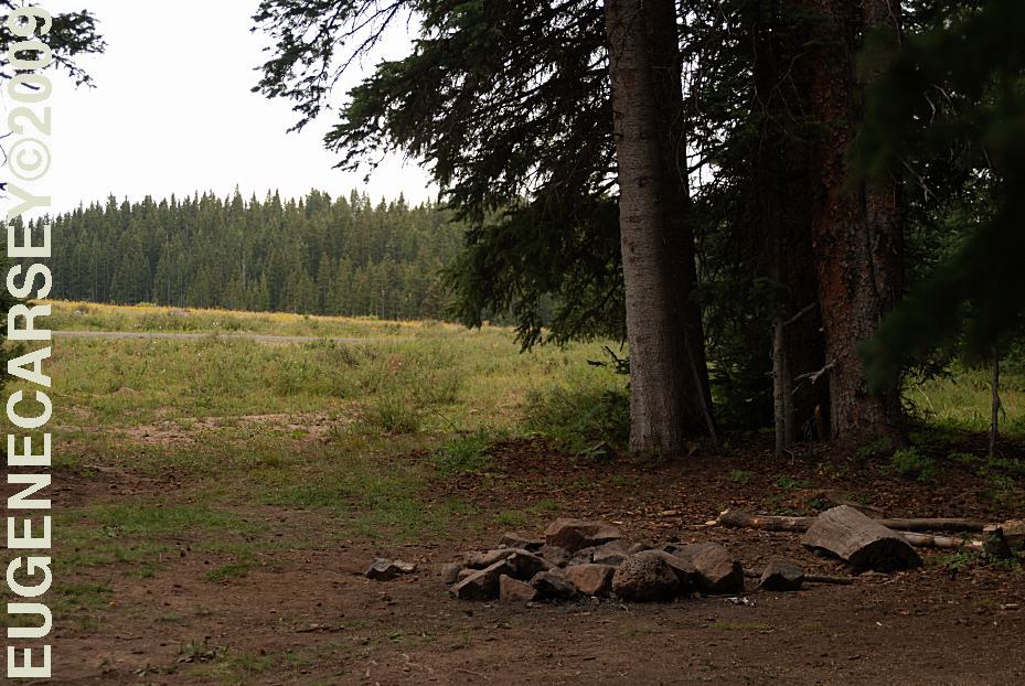
Road 279 Dispersed Campsite
LATITUDE: N 39°07.680
LONGITUDE: W 107°52.524
(This was our campsite 2009)
DIRECTIONS: From Montrose, CO ROAD CONDITIONS: Showers at Frost RV Park It was late in the season for wildflowers, PHOTO HERE
From Grand Junction, CO
Take I-70 East for 22 Miles
At Exit 49 take Hwy.65 South
Grand Mesa Visitor Center is about 25 - 30 miles
Take Road 121....
Take Hwy.50 North 21 miles to Delta, CO
Take Hwy. 92 East for a couple miles
Take Hwy.65 North about 30 miles
At Grand Mesa Visitor Center take Road 121 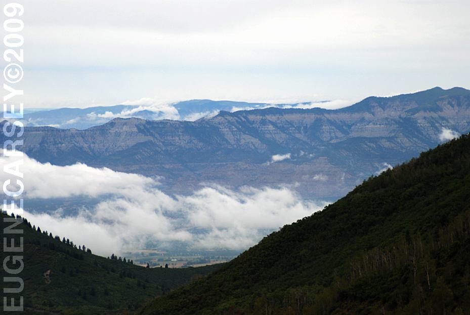
Road 121 towards Collbran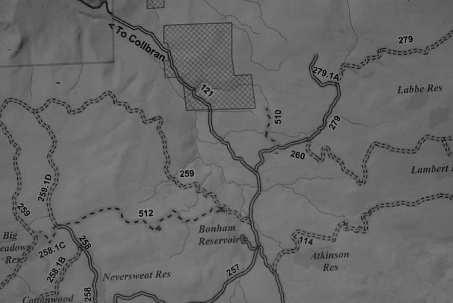
Map of Road 279
Gravel roads with some washboards
Most side roads are dirt and should
be avoided in wet weather.
Cost $2.50
Road 121 about 2 miles east of Visitor Center.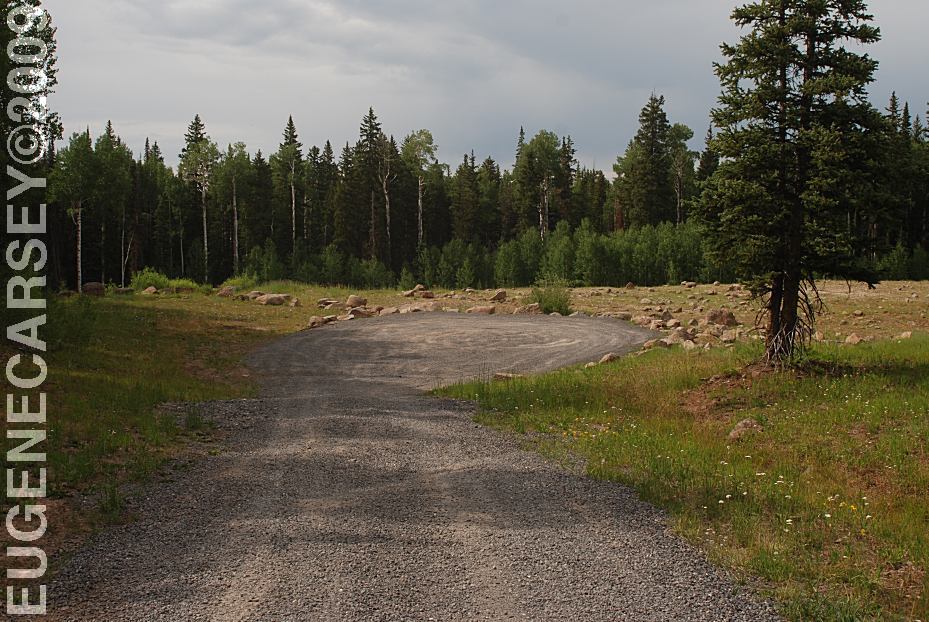
End of Road 279.1A
LATITUDE: N 39°08.279
LONGITUDE: W 107°52.822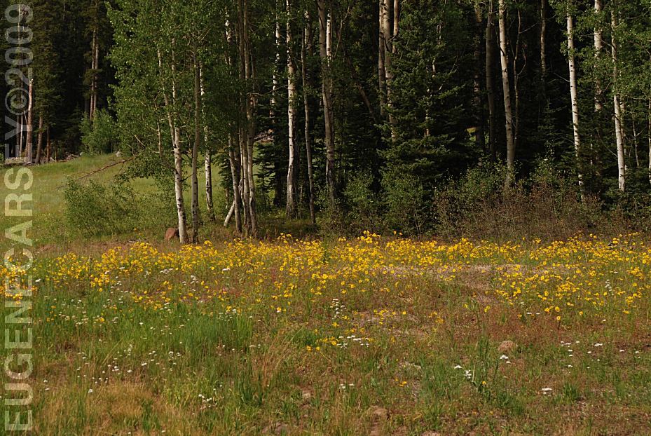
Wildflowers from Road 279.1A
but there were still colors everywhere.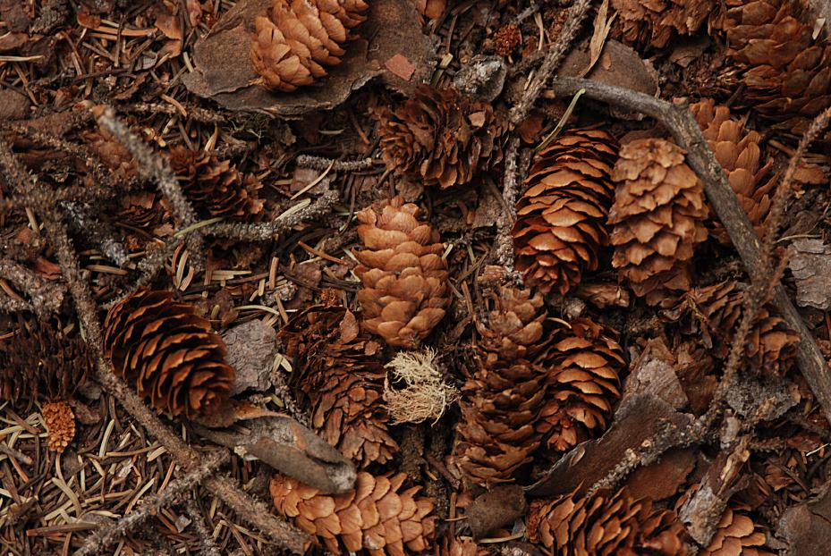
Pine Cones on Road 279
Vega State Park
PHOTO HERE SOUTH
MINERAL CREEK ALPINE
LOOP ROAD OWL CREEK
PASS CIMARRON
FORKS BLACK
MOUNTAIN LAKE
VIVA NAUGHTON PINE
CREEK SKI AREA Also see: ALPINE LOOP ROAD CAMPGROUND INDEX dispersedcampgrounds.com
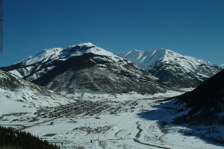
Silverton, Colorado (January 2005)
Black Canyon of the Gunnison National Park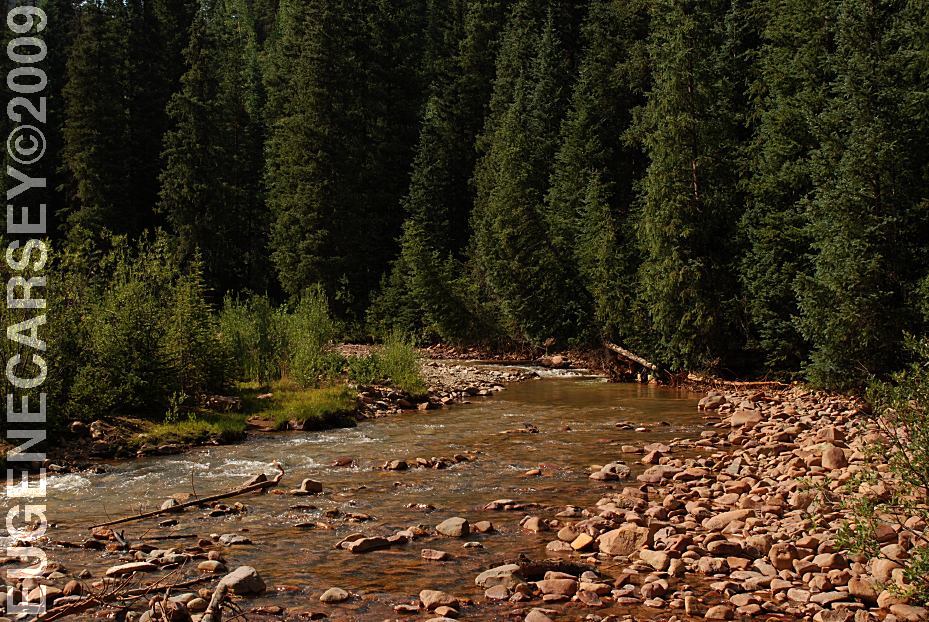
South Mineral Creek
LATITUDE: N 37°49.189
LONGITUDE: W 107°42.854
Highway 550 North from Silverton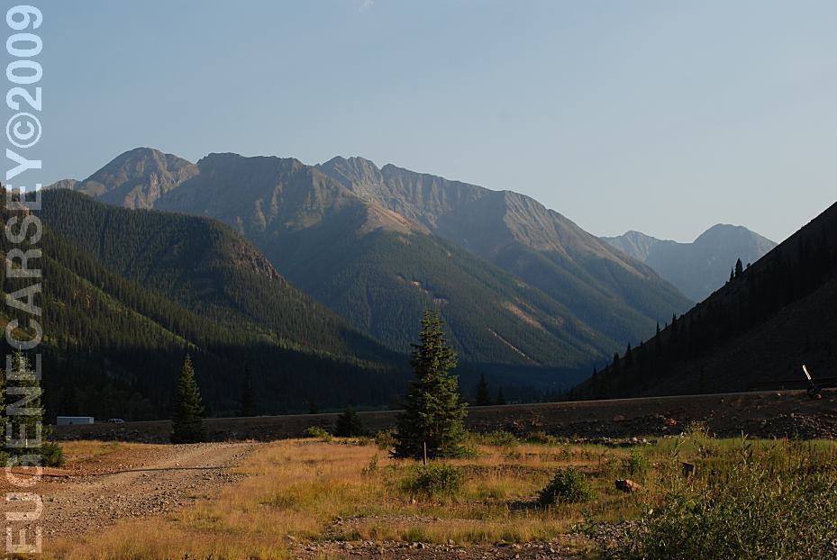
View from Eureka
Alpine Loop Road east from Silverton, CO.
LATITUDE: N 37°52.803
LONGITUDE: W 107°33.885
Elevations Above 10,000'
(GPS from Eureka Historic Site)
Dispersed camping and rugged mountain views.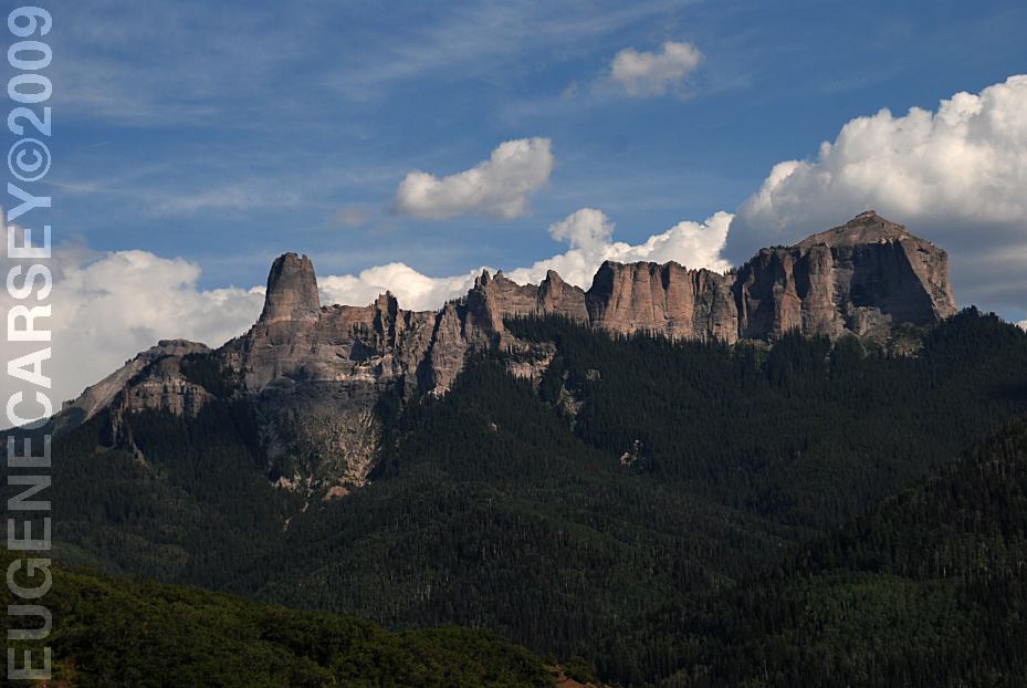
Vista Point on Road 8 towards Owl Creek Pass
LATITUDE: N 38°09.901
LONGITUDE: W 107°33.743
Owl Creek Pass is north from Silverton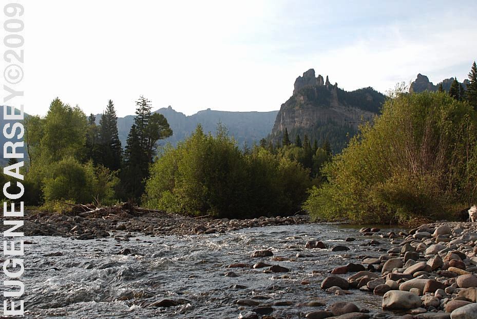
xx River
Cimarron Forks
East from Owl Creek Pass...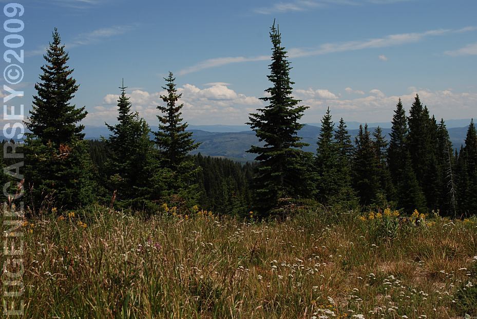
Routt National Forest
LATITUDE: N 40°45.480
LONGITUDE: W 107°19.895
Elevation: 9700'
(GPS from Sawmill Campground)
Routt National Forest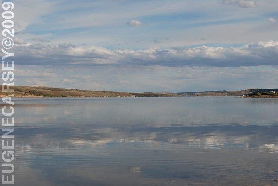
Lake Viva Naughton
LATITUDE: N 41°58.857
LONGITUDE: W 110°39.49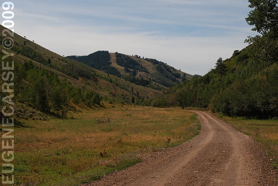
Camp areas at Pine Creek Ski Area
LATITUDE: N 42°06.553
LONGITUDE: W 110°49.545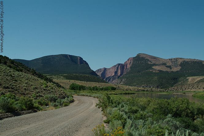
Road towards Gates Of Lodore
Also see: CATHEDRAL
VALLEY
Also see: CORAL
PINK SAND DUNES
Also see: GATES
OF LODORE
Also see: GOOSENECKS
SP
Also see: LAKE VIVA NAUGHTON
Also see: MEDICINE
BOW NF / ROAD 70
Also see: OWL
CREEK PASS
Also see: ROUTT
NF / BLACK MOUNTAIN
Also see: SOUTH
MINERAL CREEK
Also see: TARRYALL
MOUNTAINS
Also see: VALLEY OF THE GODS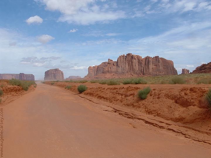
Monument Valley Navajo Park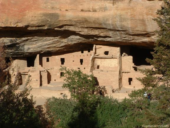
Mesa Verde National Park
(West from Durango, Colorado)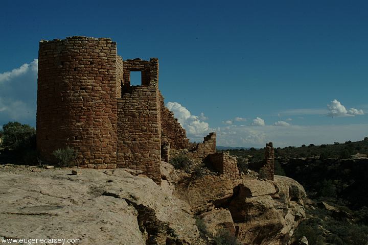
Hovenweep National Monument
(West from Durango, Colorado)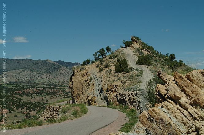
Skyline Drive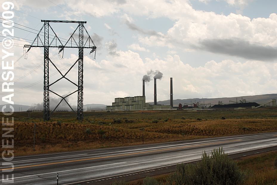
Craig Station on Hwy.550
(A couple miles south from Craig, CO)
The Craig Station burns about 5 million tons of coal annually
and produces enough electricity to meet power requirements
for 1.25 million residential customers. The cost to build Craig
Station was approximately 1.2 billion dollars.
Complete free campground listing
Free campgrounds and camping
COLORADO CAMPGROUND DIRECTORY
GRAND MESA NATIONAL FOREST
ROAD 121
