|
|


|
Free campgrounds and camping
|
|
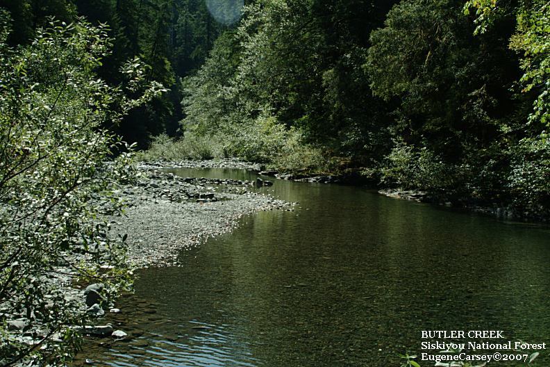
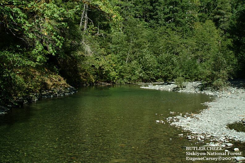
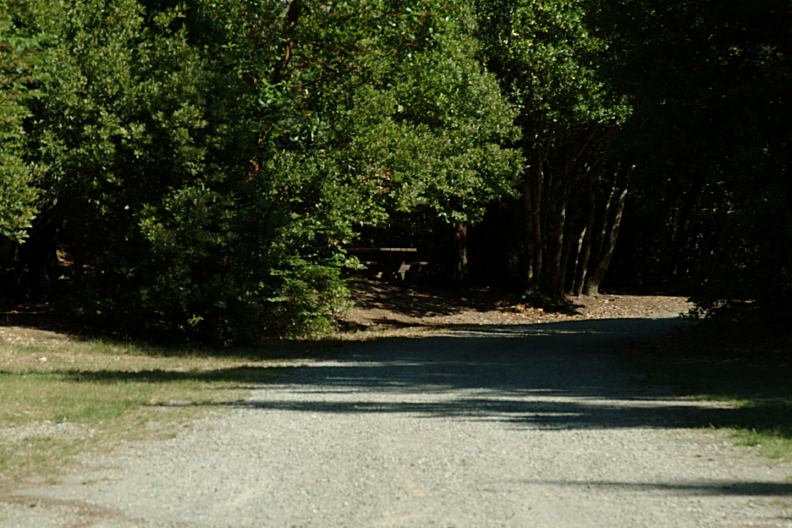
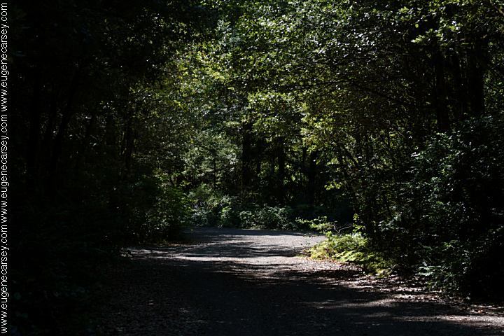
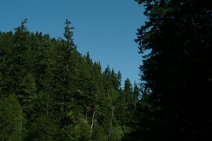
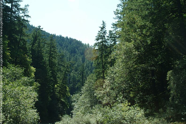
Great campground on Butler Creek
Picnic tables, metal firerings, outhouses.
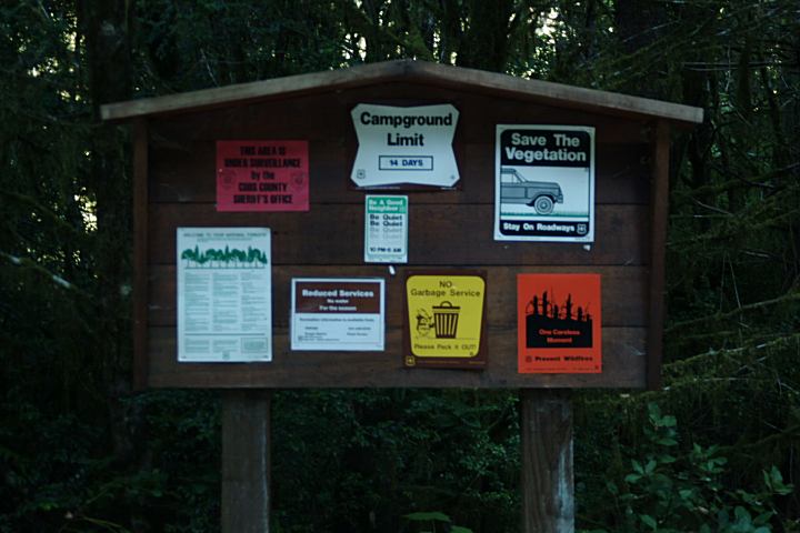
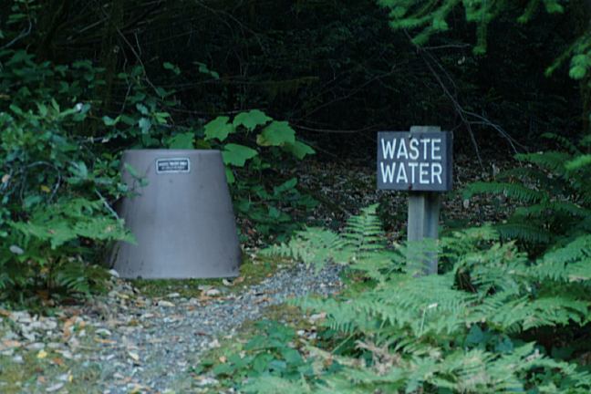
IT IS YOUR RESPONSIBILITY TO
KNOW
Open year-round
WILDLIFE: |
DIRECTIONS: From Powers. OR ROAD CONDITIONS: DISTANCE CHART: Port Orford 20 miles Showers at State Park Campgrounds SUNSHINE BAR CAMPGROUND LAIRD LAKE CAMPGROUND SIXES RIVER RECREATION SITE Also see: BURNT
MOUNTAIN OREGON FREE CAMPGROUND MAP
Elk River Road
From Port Orford, OR
Take Hwy.101 north about 2 mile
Hwy.101 between milepost 297-298
Turn on Elk Creek Road / Road#208
Continue on Road#5325
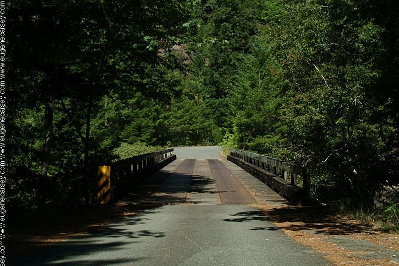
Butler Bar C.G. between milepost 11-12
Take Road#33 for 11 miles
(China Flat at junction of Road#3353
and Road#33 between milepost 52-53)
Take Road#3353 for 21 miles
Go right on Road#5325
Butler Bar about 10 miles
At the junction of Road#5201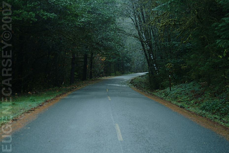
Road#5325
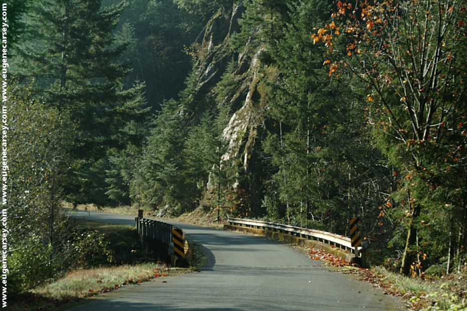
Paved surface from Port Orford, OR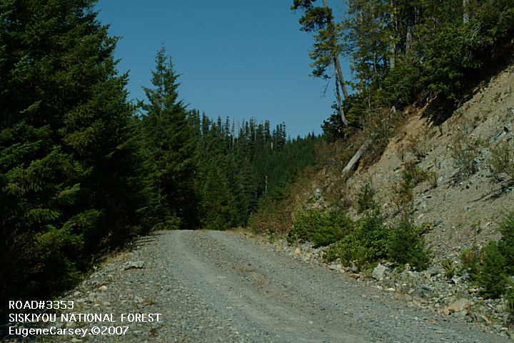
Road#3353 towards Powers, OR
Between China Flat and Butler Bar C.G.
Paved surfaces from Port Orford
From Powers is mostly rough, narrow
mountain roads not recommended for RVs.
We have seen boulders in the road
after bad weather conditions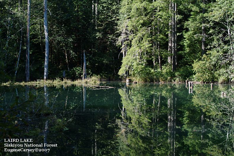
Laird Lake
About 6 miles east from Butler Bar Campground
Distances from Butler Bar Campground
Highway 101
Sunshine Bar Campground
Laird Lake Campground
Sixes River Campground
China Flat Campground
18 miles
3 miles
6 miles
22 miles (Road#5201)
30 miles (Road#3353)
Showers at Laundry in Florence, OR
$2.00 for 8 minutes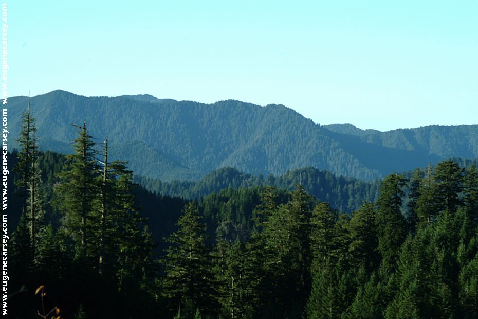
Road#5201 about 4 1/2 mile north from Butler Bar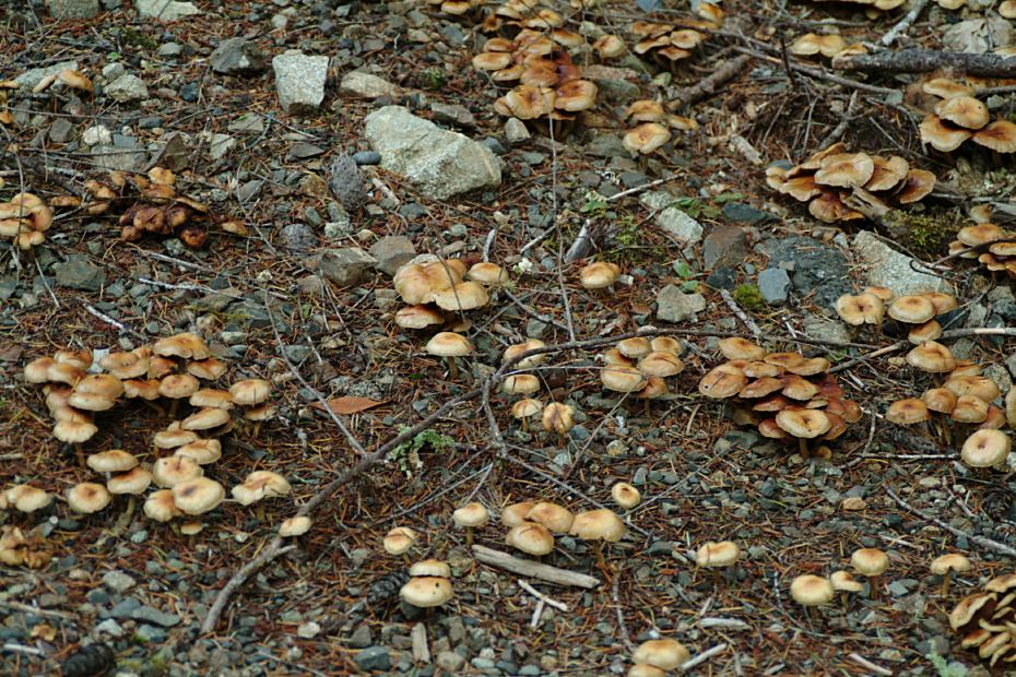
Mushrooms near Butler Bar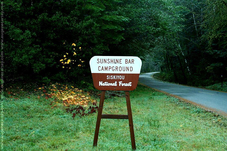
Sunshine Bar Campground
Sign viewed from Road#5325
LATITUDE: N 42°42.700
LONGITUDE: W 124°18.772
About 3 miles west from Butler Bar Campground
Laird Lake vied from the Campground
LATITUDE: N 42°41.993
LONGITUDE: W 124°12.177
About 6 miles east from Butler Bar Campground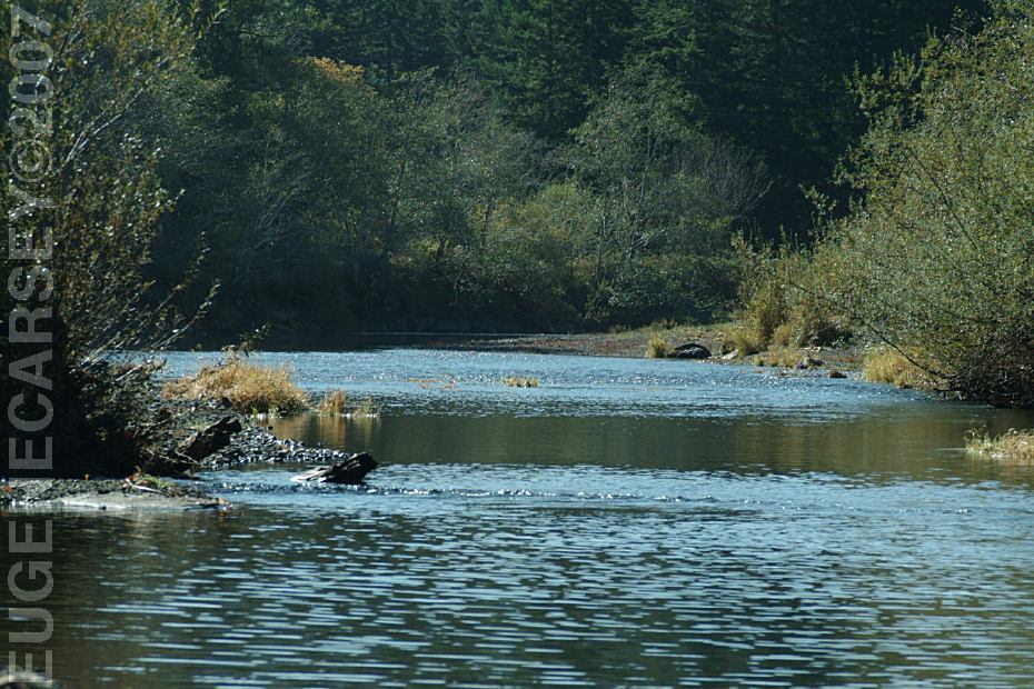
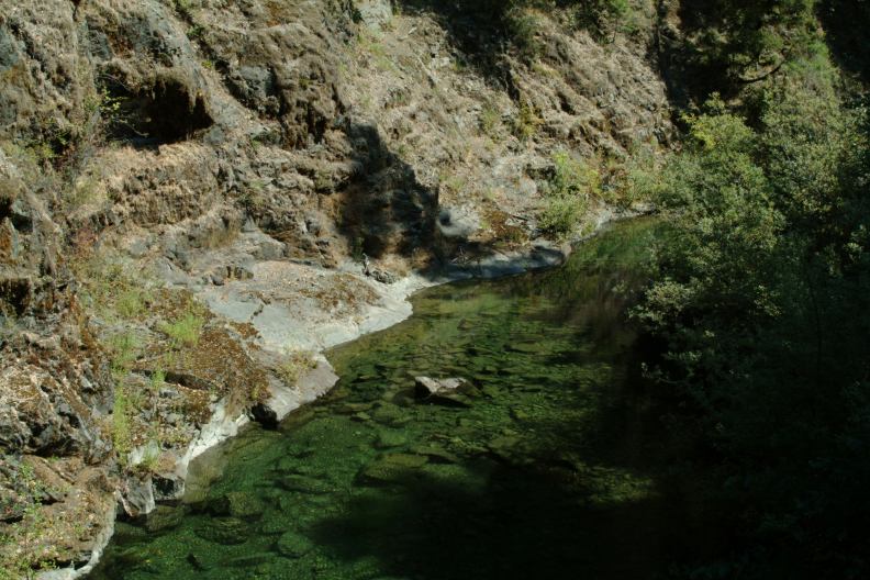
Sixes River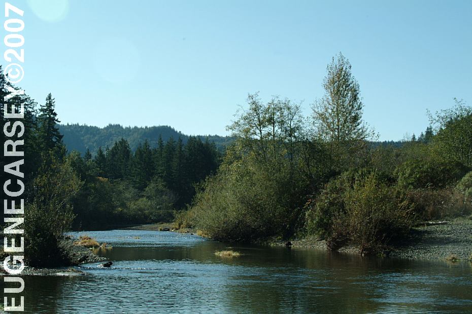
Sixes River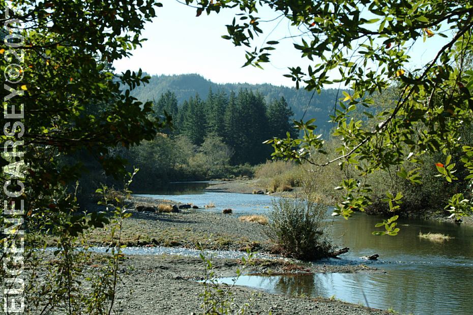
Sixes River
LATITUDE: N 42°48.261
LONGITUDE: W 124°18.709
$8.00 Camp Unit Fee
$2.00 Day Use
Road#5201 between Sixes River and
Butler Bar Campground is 22 miles
of some rough, narrow mountain roads.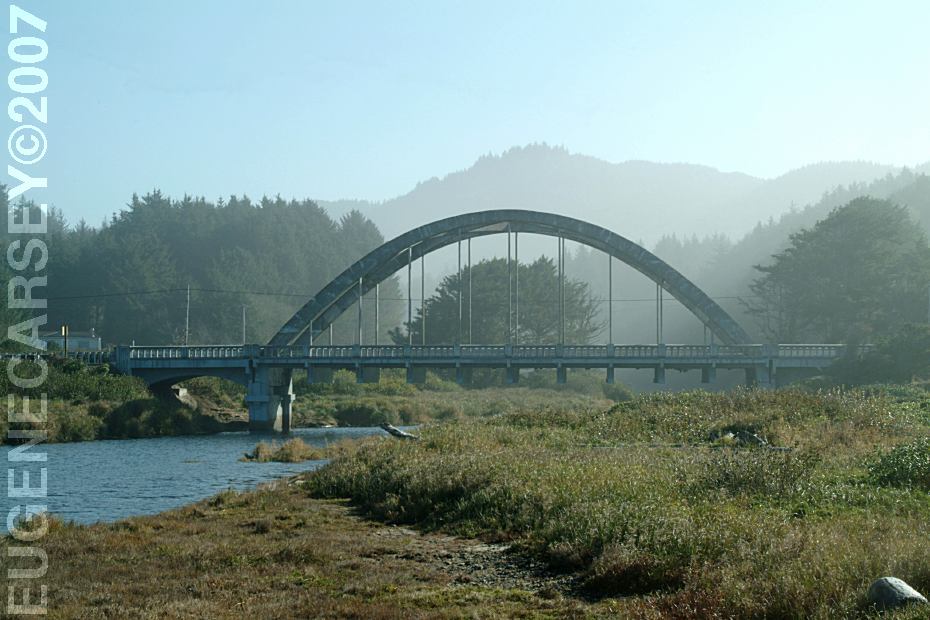
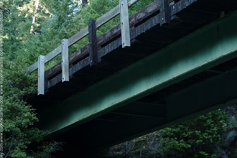
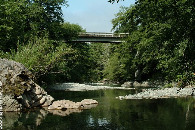
Highway 101 Bridge over xx River
Viewed from Stone Field Beach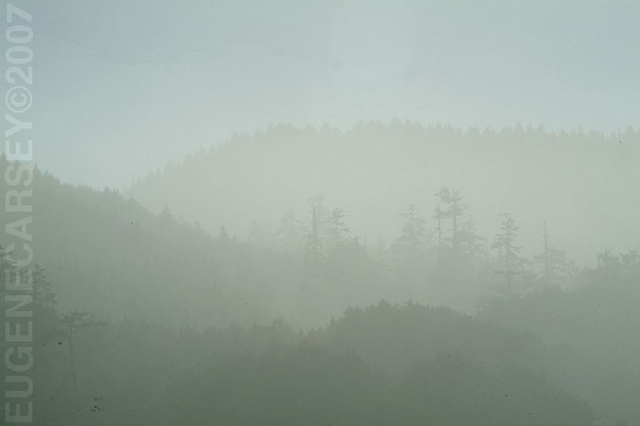
Mist on Mountains
Viewed from Stone Field Beach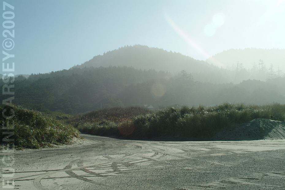
Parking Area at Stone Field Beach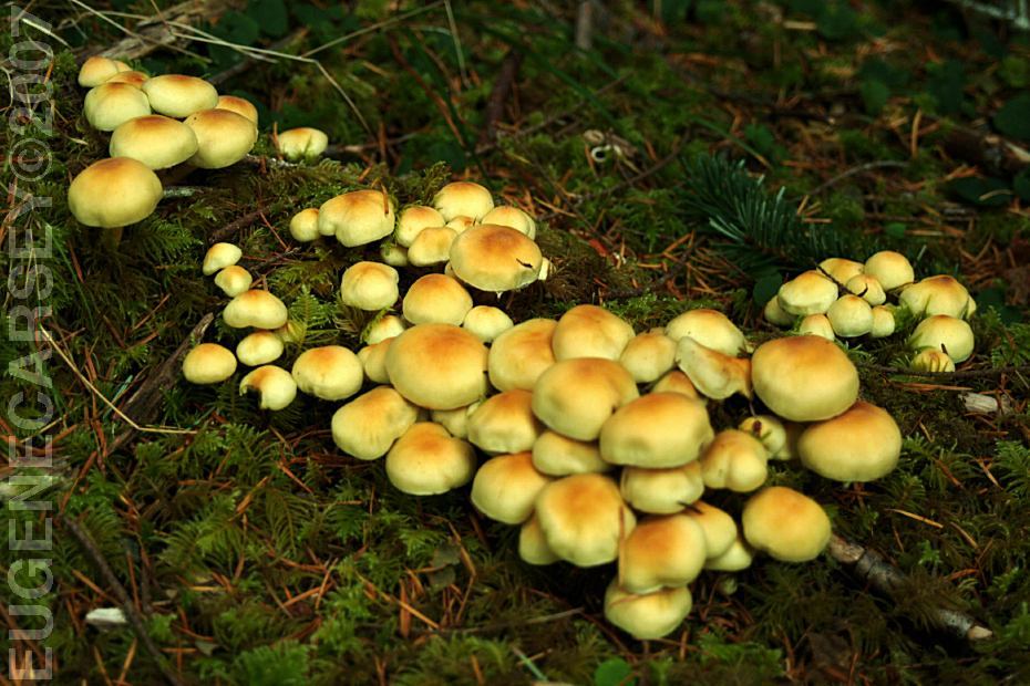
Mushrooms on Road#3680
Also see: CHINA FLAT
Also see: BUTLER BAR
Also see: EDEN VALLEY
Also see: LAIRD LAKE
Also see: PACKERS CABIN
Also see: PARK CREEK
Also see: ROAD#3358
Also see: ROAD
#1108
Also see: SOUTH
FORK ROAD
Also see: SQUAW LAKE
Also see: SUNSHINE BAR
Google Custom Map by Ian
Google custom map by Ian with most of the
free campgrounds in Oregon.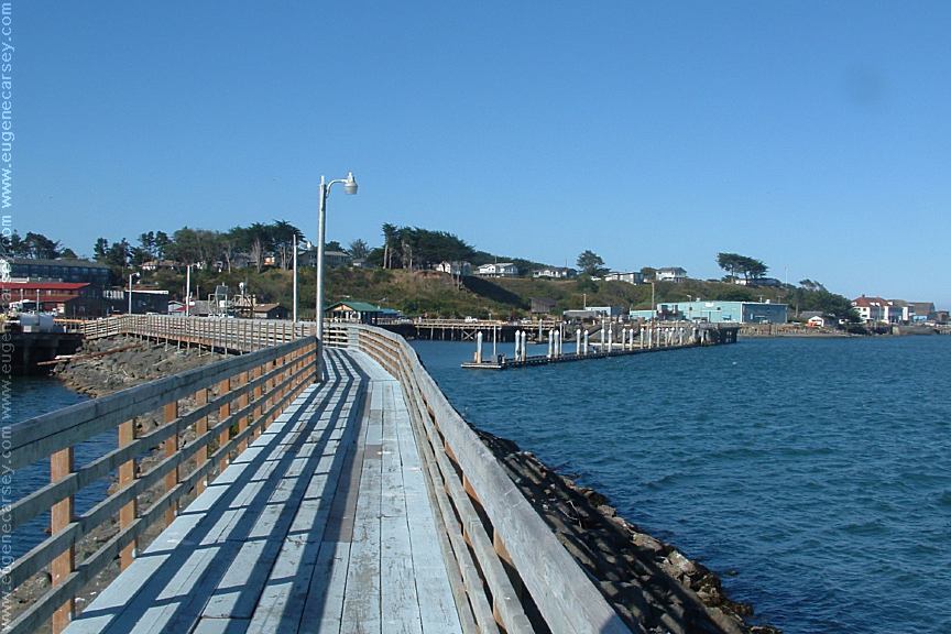
Bandon, OR
When in the area it is recommended to visit: CAMPGROUND INDEX Camped here Sept. 11, 2007 dispersedcampgrounds.com
South Fork Chetco River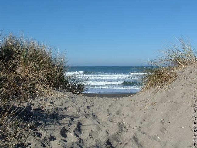
Highway 101, OR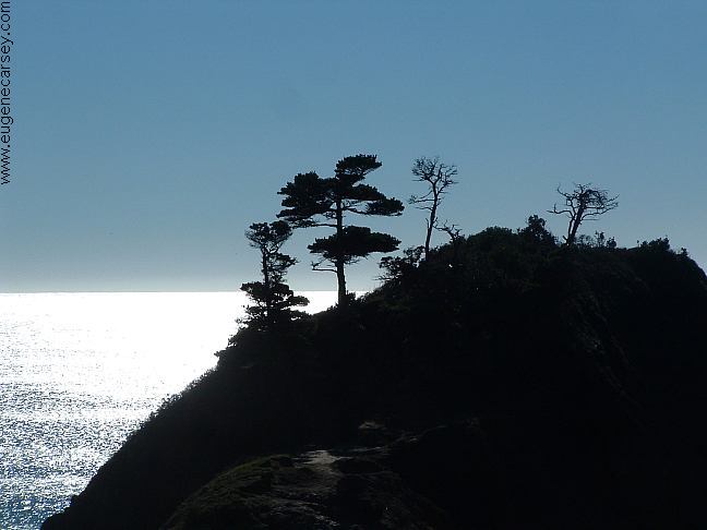
Viewed from Battle Rock Wayfinding Point
and Visitor Center in Port Orford, OR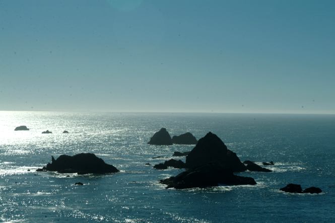
Hwy.101 near Brookings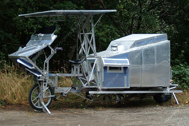
Custom motorhome... Hwy.101 near Brookings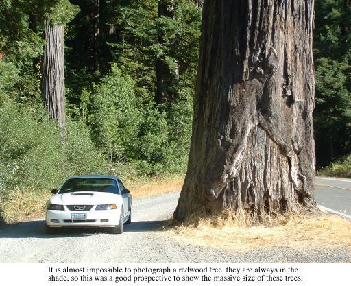
Newton B. Drury Scenic Parkway
JEDEDIAH SMITH REDWOODS STATE PARK
and HOWLAND HILL SCENIC DRIVE
(About 10 miles south from the Oregon Boarder)
Highly recommended to drive Howland Hill Scenic
Drive through Jedediah Smith Redwoods State Park.
Motor homes and trailers not recommended. No fees.
From Highway 199 near Hiouchi Information Center,
take South Fork Road about a mile and stay right
when the road splits. Road signs marking the way.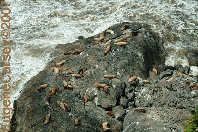
Sea Lions north from Florence, Oregon
Complete free campground listing
We lived in New York City on 9/11/01
That helped us decide to hit the road...
Camped here March 19, 2008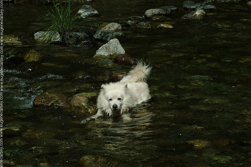
Cookie the Dog
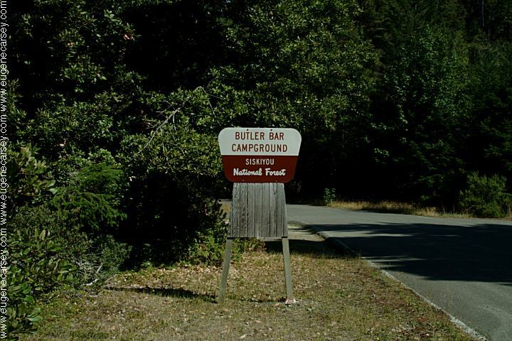
(Butler Creek / Butler Bar Campground)
Free campgrounds and camping
OREGON CAMPGROUND DIRECTORY
BUTLER BAR CAMPGROUND
SISKIYOU NATIONAL FOREST
