|
|


|
Free camping and campgrounds
|
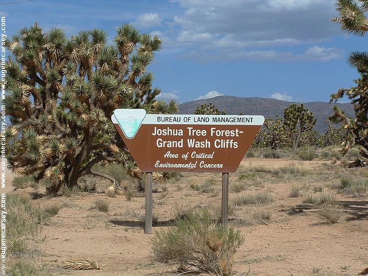
Lake Mead National Recreation Area We like to camp at Bonelli Bay and walk BONELLI BAY PHOTO HERE Vaulted Toilets IT IS YOUR RESPONSIBILITY TO
KNOW It is very quiet except all the tourist and No Shooting Area DIRECTIONS: From Las Vegas take Hwy 93 south. ROAD CONDITIONS: From the Jct. of Hwy 93 and Road #143 Kingman 53 miles BONELLI LANDING GREG'S
HIDEOUT PEARCE
FERRY CROSSING WINDY
POINT RECREATION AREA
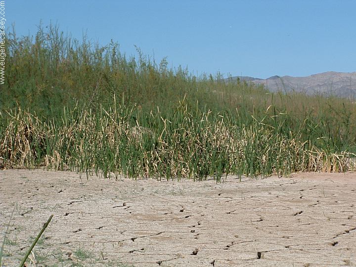
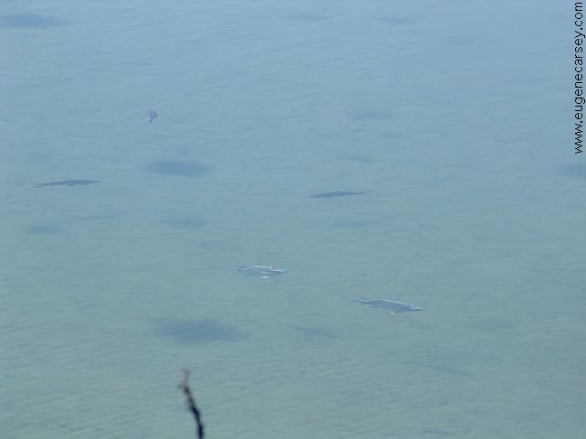
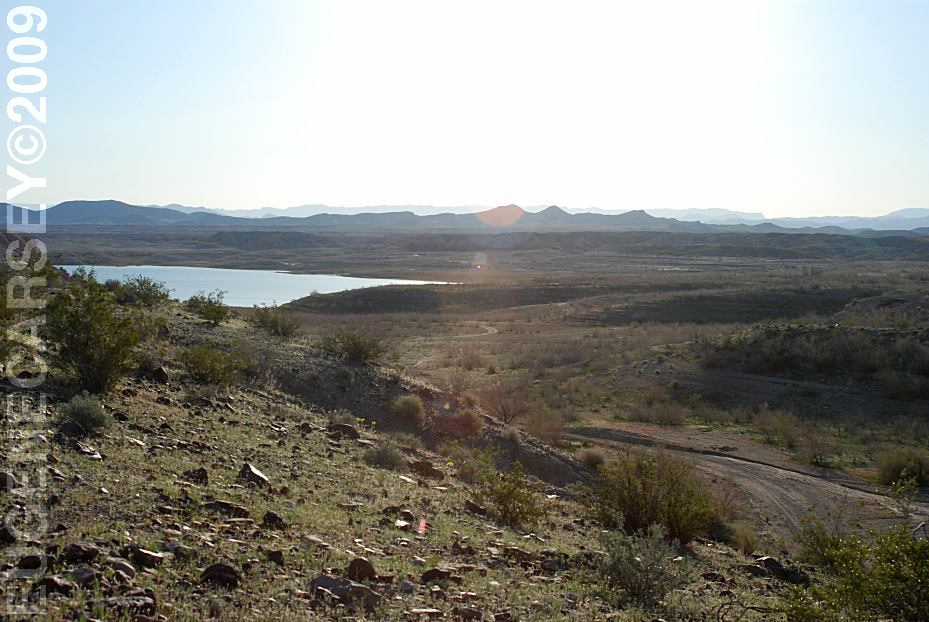
includes some incredible landscapes.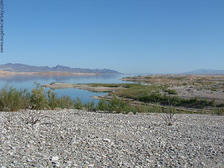
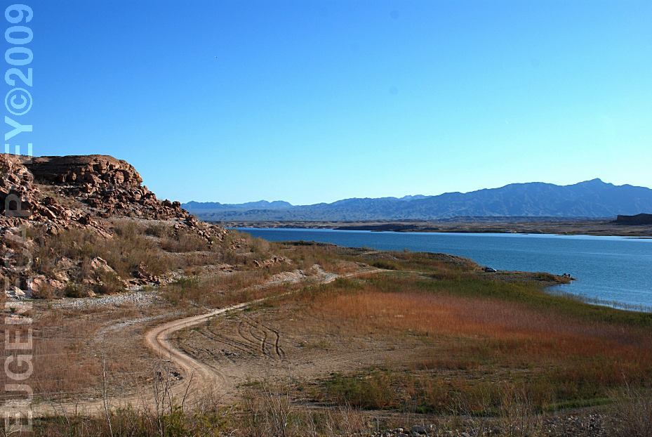
Bonelli Bay
the shores of Lake Mead. Last time there
were a couple other campers, this time
nobody is around. 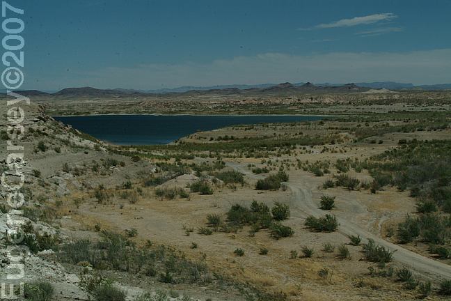
Bonelli Bay Dispersed Camping Area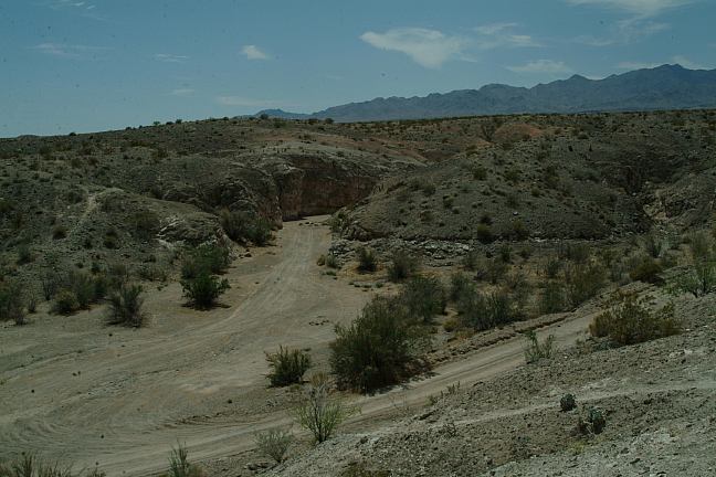
Bonelli Bay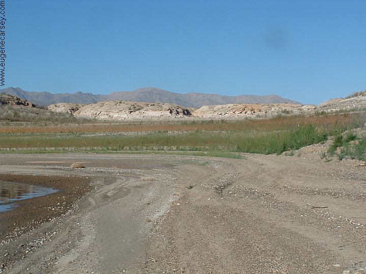
Bonelli Bay
Simple and relaxing.
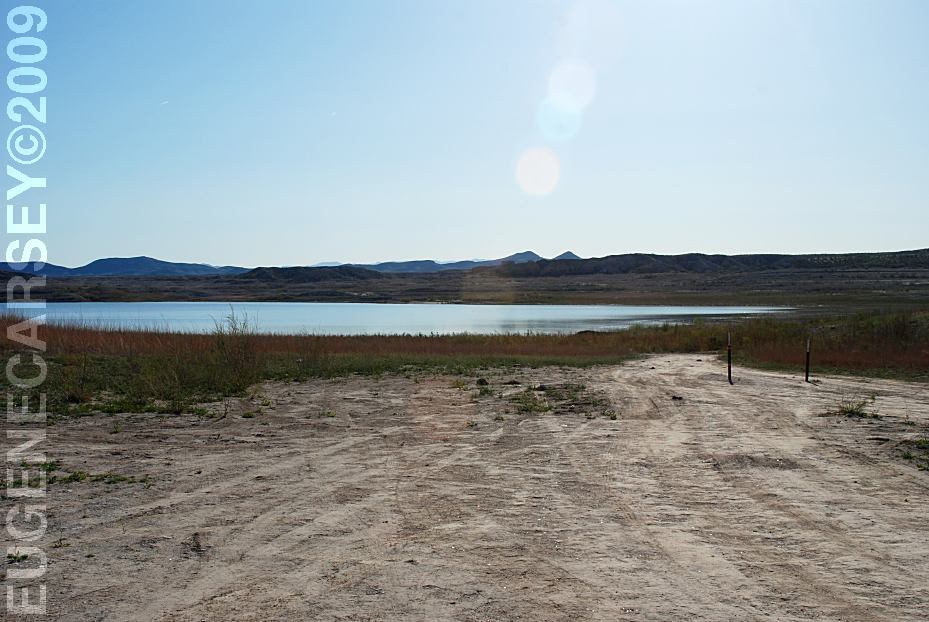
Camp along the shore of Lake Mead.
Enjoy walking the shores of Lake Mead
and this is about wild and crazy as it gets...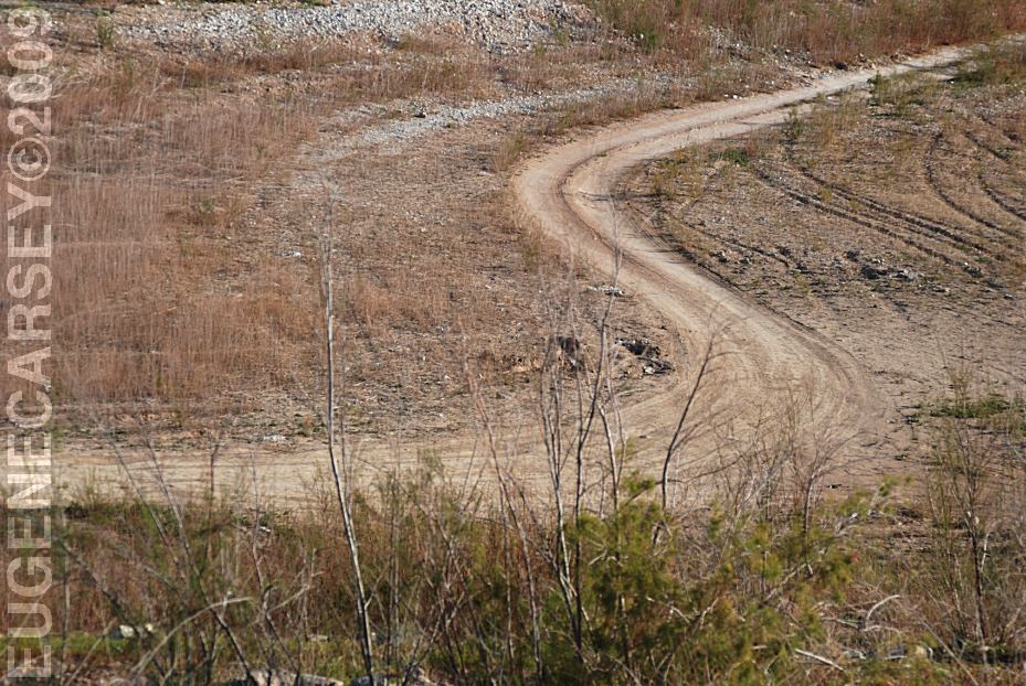
Road at Bonelli Bay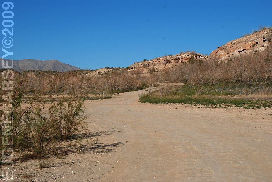
Road at Bonelli Bay
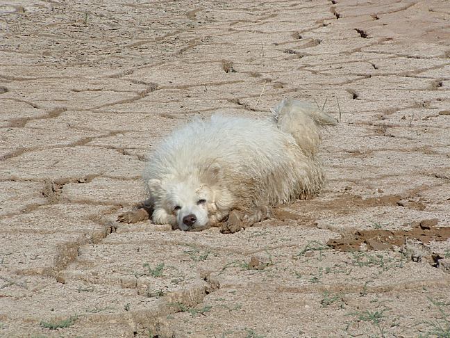
Primitive campsite at Bonelli Bay
LATITUDE: N 36°03.767
LONGITUDE: W 114°28.094
Garbage at the junction of Road #143 and #74
Campfires are allowed.
15 Day Camping Limit.
WHAT FIRE RESTRICTIONS ARE IN EFFECT
Water, shovel, and an axe may be required.
A good pair of leather gloves recommended.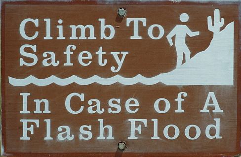
Climb To Safety In Case of a Flash Flood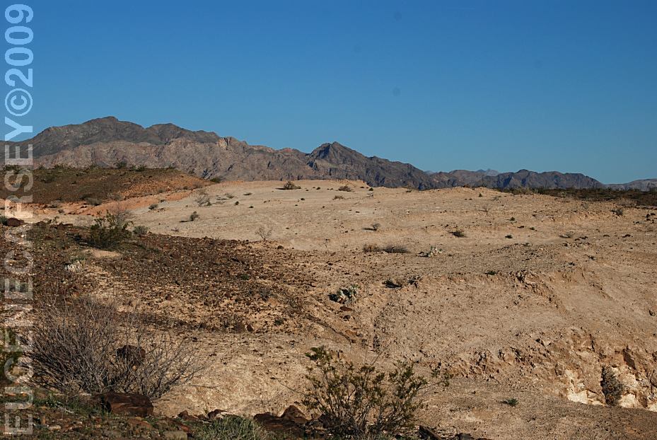
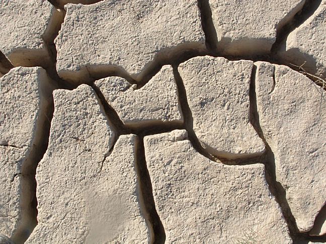
Landscapes at Bonelli Bay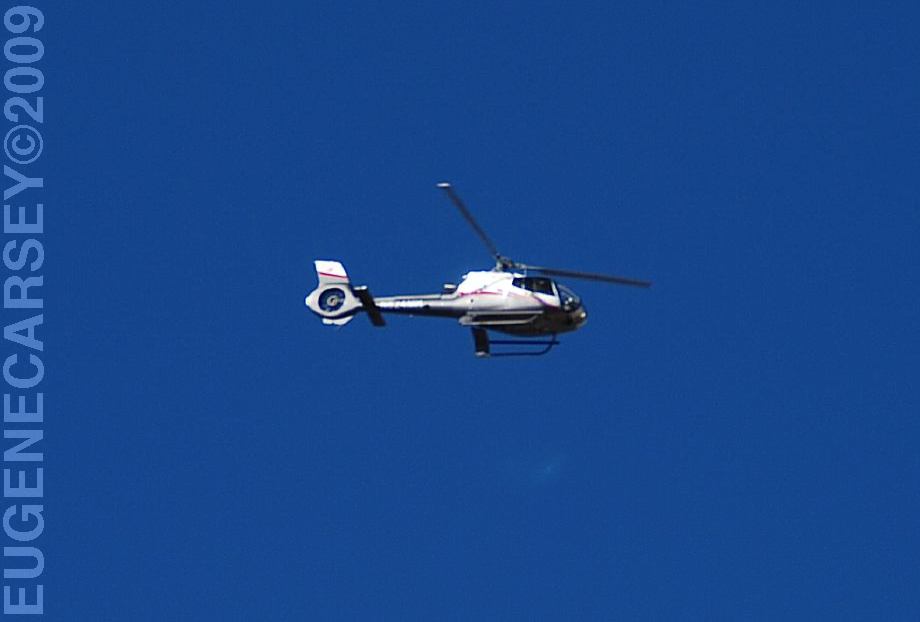
Helicopter flying overhead... mostly tourists.
military helicopters fly overhead. You don't
really notice them too much.
Loaded Weapons Prohibited
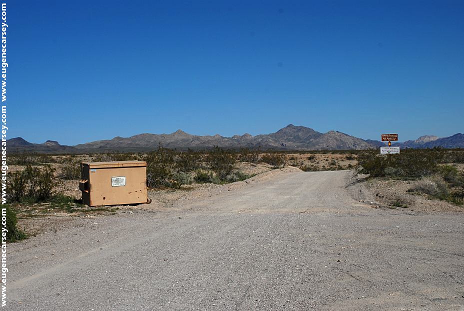
Garbage Dumpster at Rd#74 and Road#173
LATITUDE: N 36°00.136
LONGITUDE: W 114°30.519
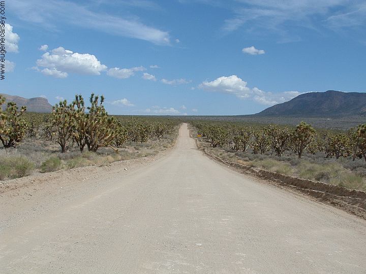
From Kingman take 93 north
Turn on Road #143 towards Temple Bar
Turn on Road #74 to Bonelli Landing and Bonelli Bay.
Take this road 4 miles to the fork in the road
Stay right and Bonelli Bay is 3 miles.
Turn on Road #143 towards Temple Bar.
Follow directions above...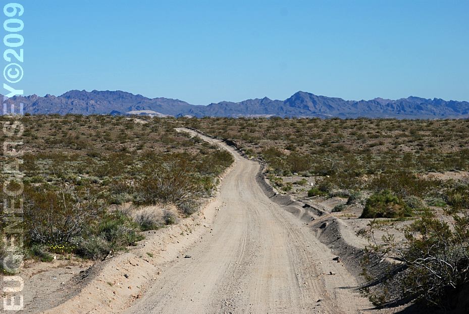
Road#74 towards Bonelli Bay and Landing
(Viewed from the Garbage Dumpsters)
From Jct. of #143 and #74
7 miles to Bonelli Bay or Bonelli Landing.
The road is rough with some sand areas.
We have seen large camp trailers here
Know your vehicles limitations.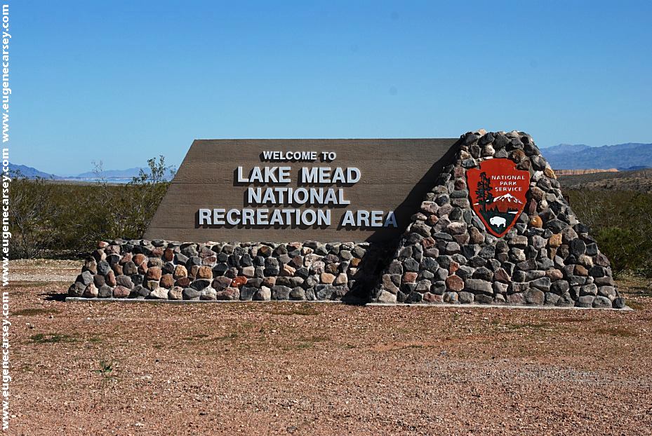
Lake Mead National Recreation Area
Sign on Road#173 towards Temple Bar
Grand Canyon
Road #74
224 miles
12.9 miles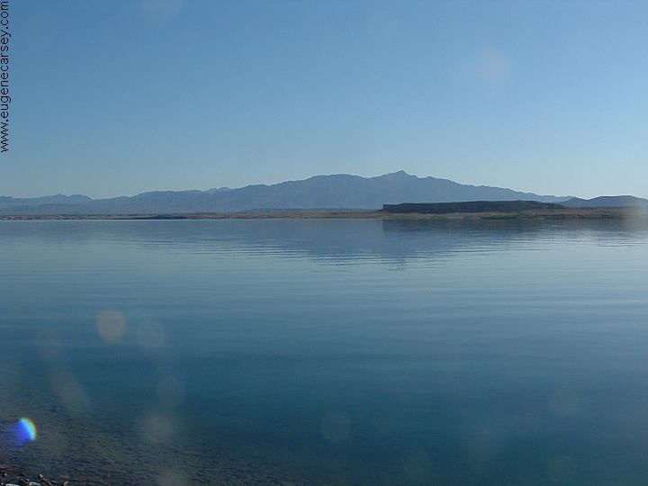
Bonelli Landing
Same area as Bonelli Bay
LATITUDE: N 36°05.004
LONGITUDE: W 114°29.106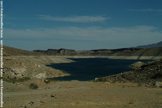
Greg's Hideout
Primitive camp area on Lake Mead
LATITUDE: N 36°00.072
LONGITUDE: W 114°13.861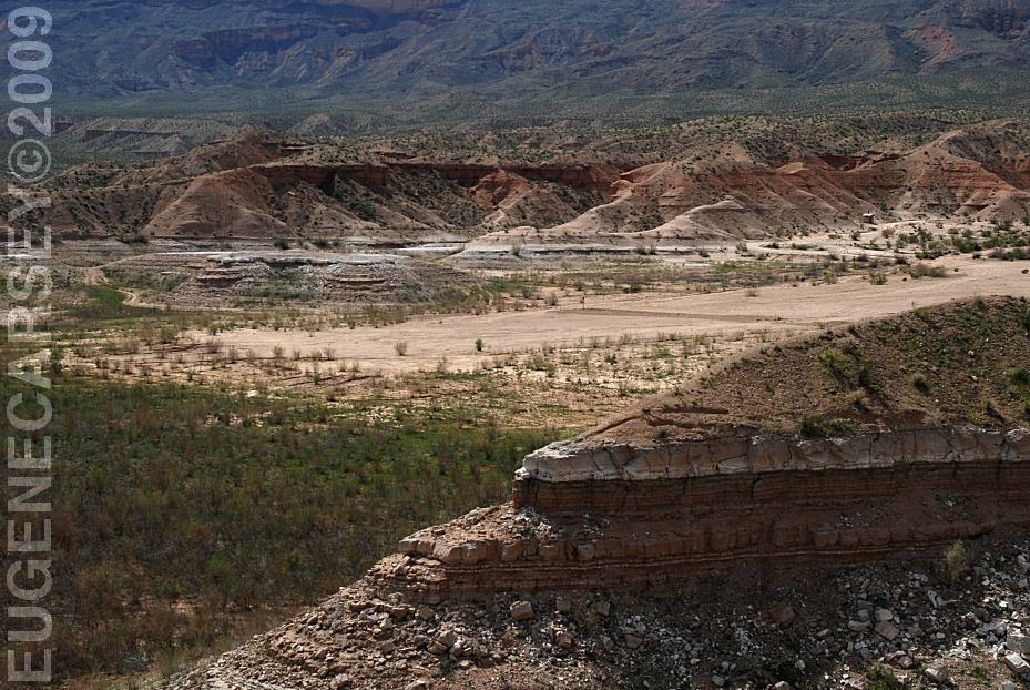
Pearce Ferry Crossing
LATITUDE: N 36°07.000
LONGITUDE: W 114°00.256
Windy Point Recreation Area
LATITUDE: N 35°26.188
LONGITUDE: W 114°09.603
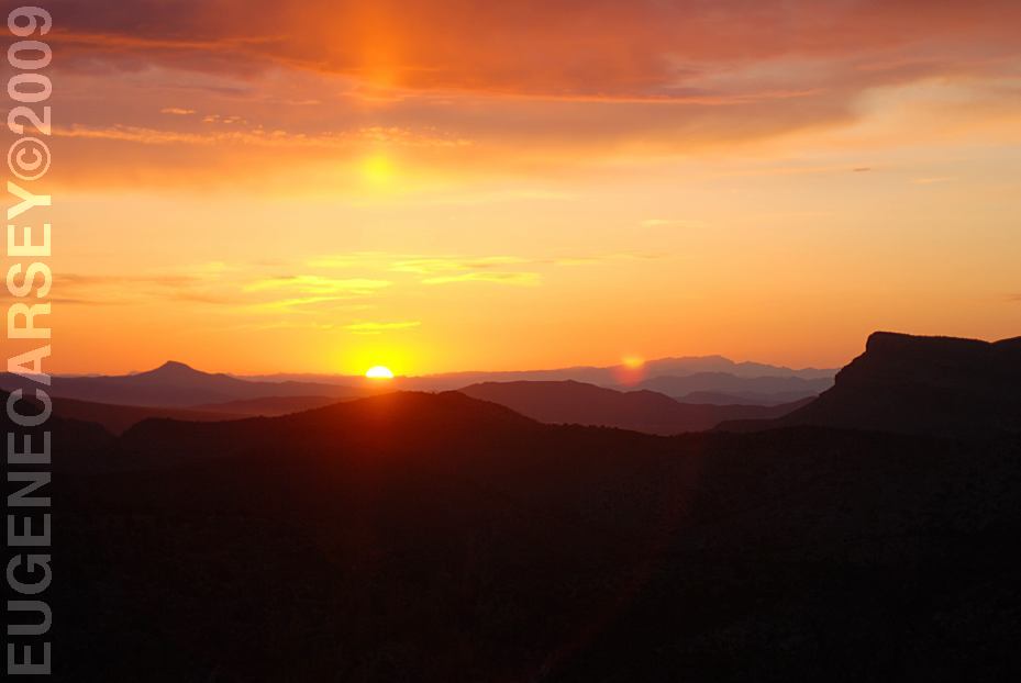
Highway 93 near Chloride, AZ
|
PHOTO HERE Showers at Temple Bar COHENOUR LOOP ROAD #71
PHOTO HERE Also see: ALAMO LAKE
DISCLAIMER: Some of the photos were
We guess they landed here from another
WARNING Camped here 2004 We have never seen a day without chemtrails in
CAMPGROUND INDEX
dispersedcampgrounds.com |