|
DIRECTIONS:
From I-10/ Exit 168 South
5 miles west of Chiriaco Summit
Exit at Cottonwood Road / Joshua Tree
Take Box Canyon Road...
From Mecca, CA
Go east on 66th Ave.
Box Canyon Road begins in a couple miles
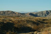
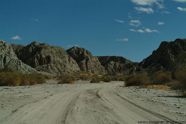
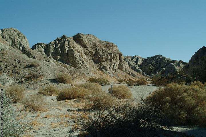
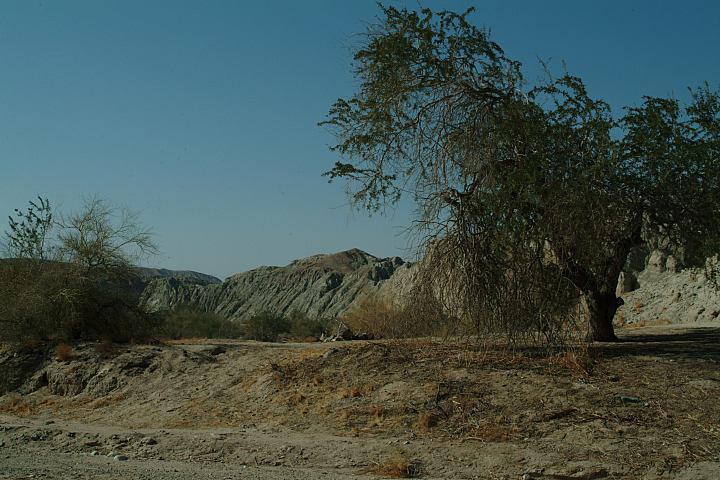
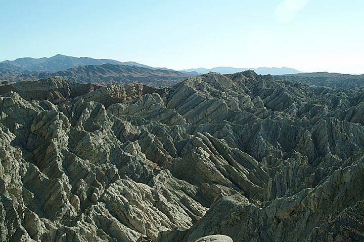
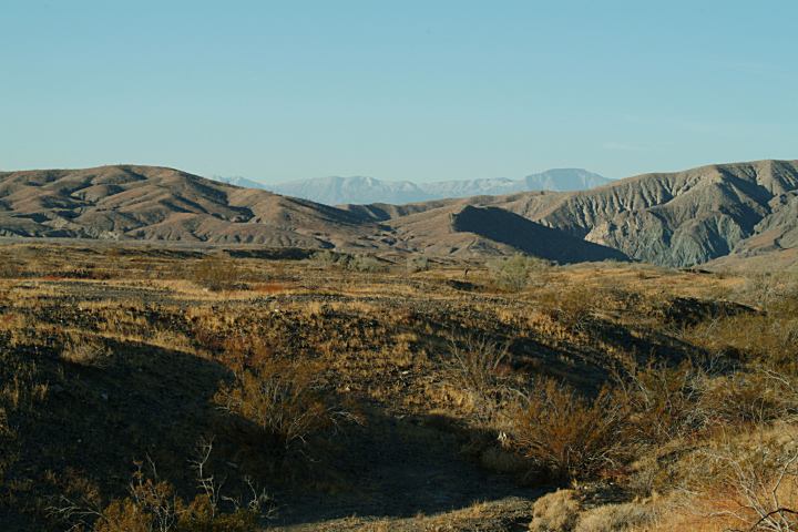
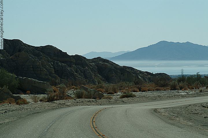
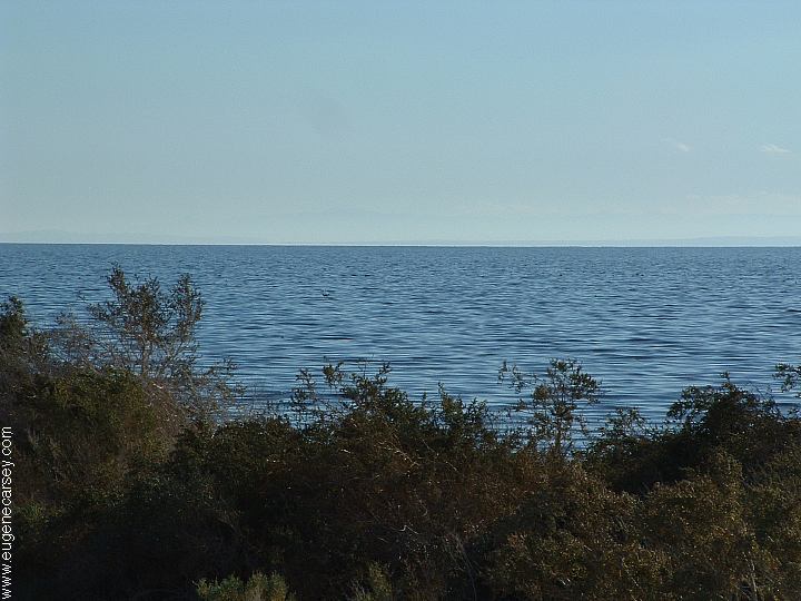
Box Canyon Road near I-10
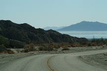
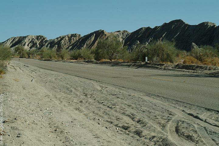
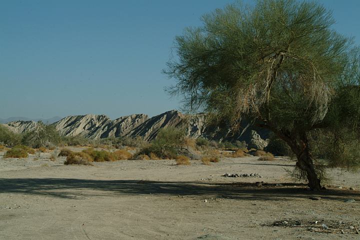
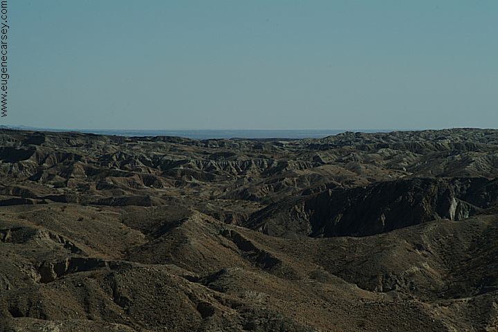
Box Canyon Road towards Mecca, CA
Salton Sea is in the distance...
DISTANCES FROM MECCA
Brawley 63 miles
Indio 13 miles
Painted Canyon Road 5 miles
MAP
ROAD CONDITIONS:
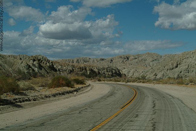
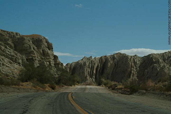
Box Canyon Road is paved, but any
camp areas or spurs, you need to be
cautious of loose sand. This is a flash
flood area and even the main road can
be affected.
FOR MORE INFORMATION:
Bureau of Land Management
Palm Springs - South Coast Resource Area
690 West Garnet Avenue
Palm Springs, CA 92258
760-251-4800
Elevation at Mecca is 180' below sea level.
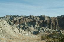
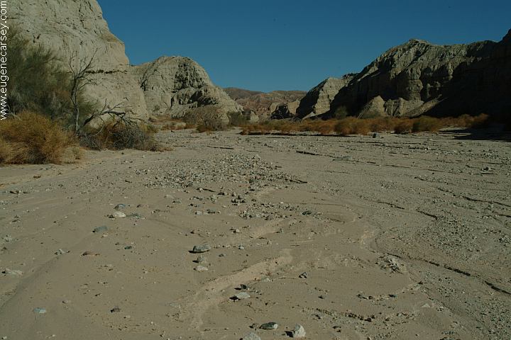
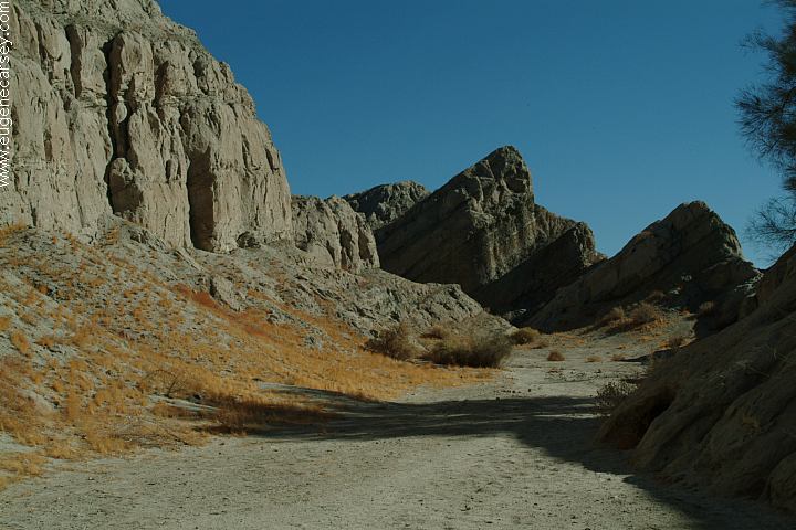
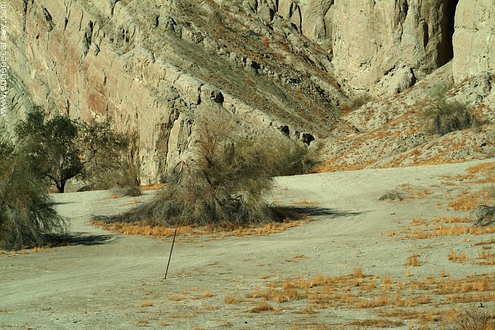
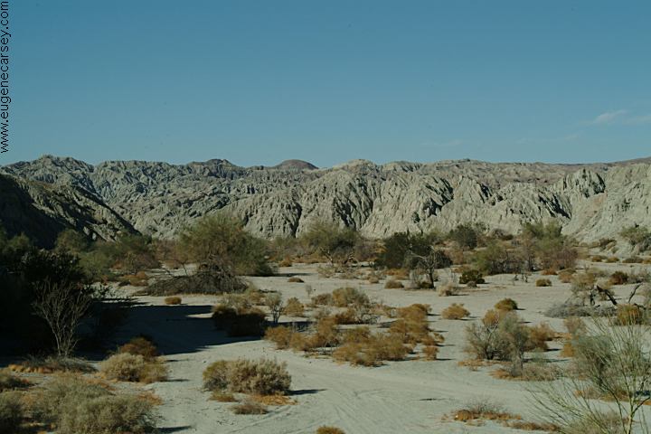
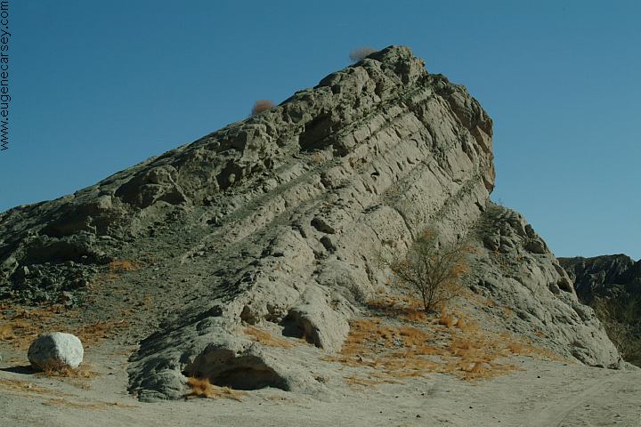
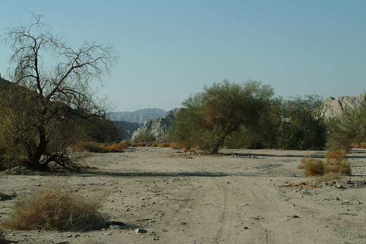
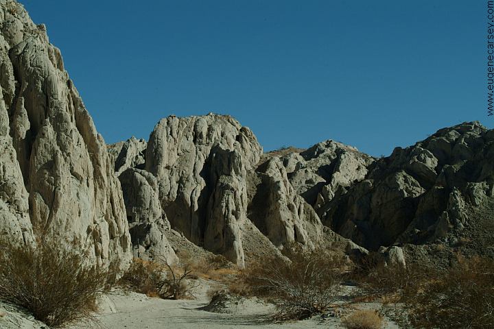
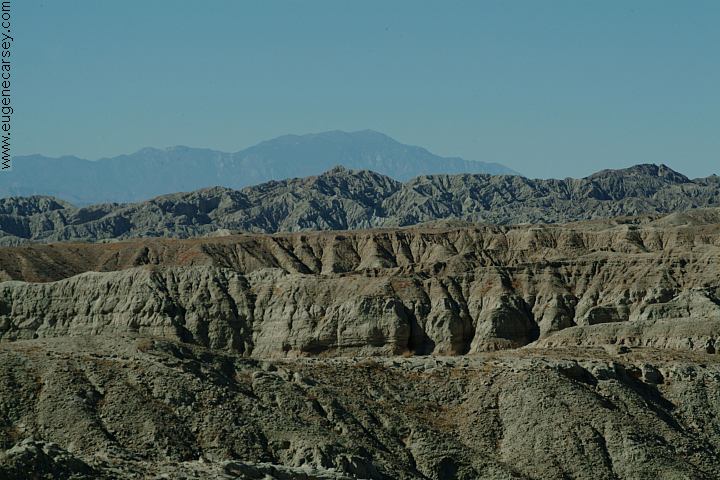
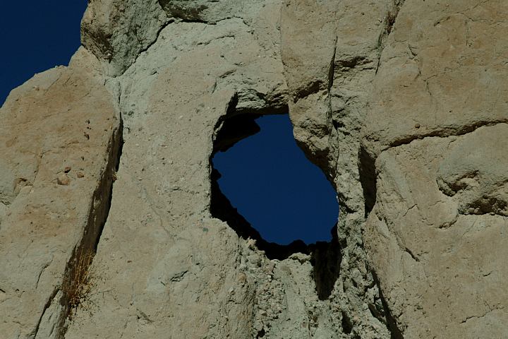
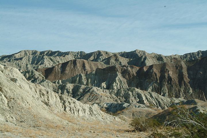
Painted Canyon
PAINTED CANYON
Painted Canyon Road is about 5 miles
east from Mecca. Ladder Canyon is a
big attraction... not that there are very
many people.
PHOTO HERE
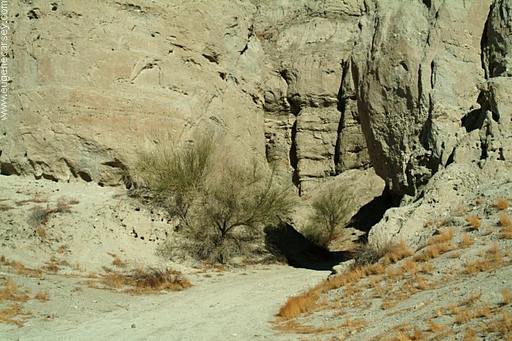
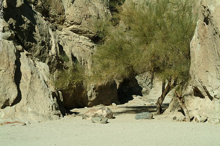
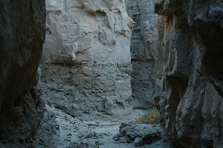
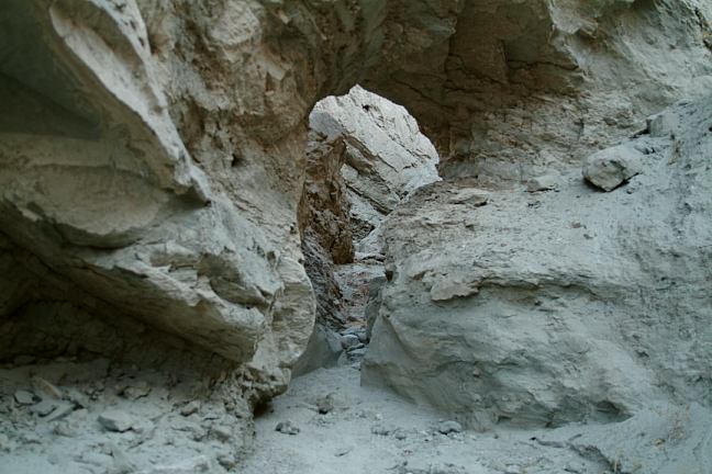
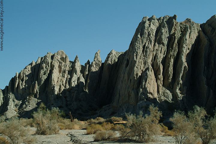
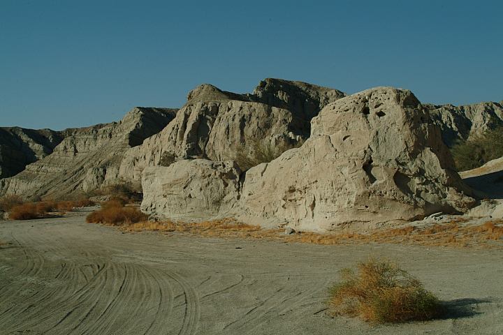
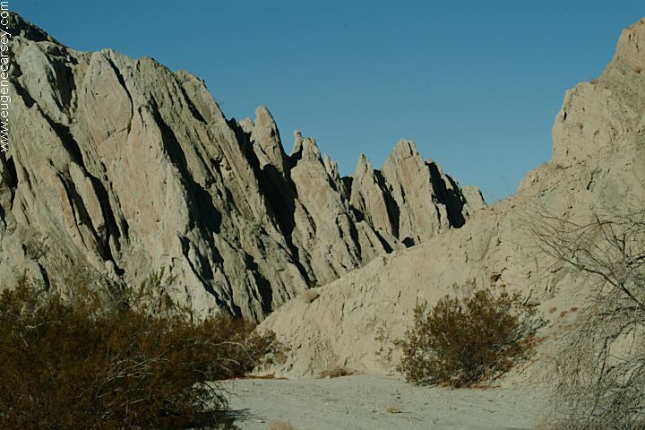
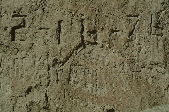
Ladder Canyon
LADDER CANYON
Called Ladder Canyon because you have
to climb ladders to gain access through the
slot canyons.
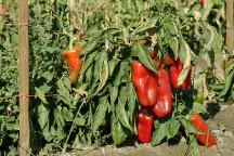
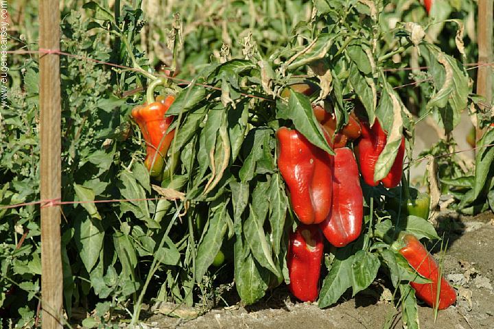
Red Bell Peppers on 66th Ave.
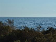
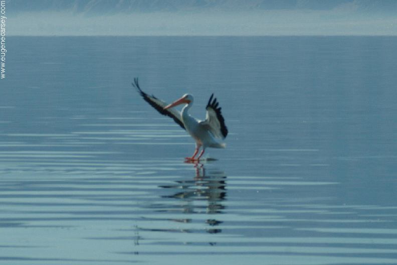
Salton Sea
Showers at Headquarters Campground
Hwy.111 south from North Shore.
$6.00 Day Use receipt required
Then cost 25˘ for 5 minutes.
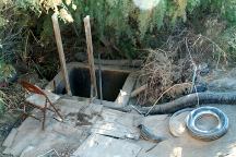
Shower between Niland and Slab City
Showers at SLAB CITY
East from Niland on Hwy.111
Free... check photos and information
Showers at Ocotillo Wells SVRA
Off Road Vehicle Recreation Area
Hwy.78 west of Ocotillo Wells
Cost $.50
Showers at Laundromat in Quartzsite, AZ
$5 includes towels and sundries.
Good drinking water at Whitewater
Rest Area on I-10 near Palm Springs.
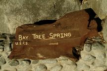
Bay Tree Spring
Best spring water at BAY TREE SPRING
Hwy 243. Between Grandview Ranger
Station and Lake Fulmor.
Cheapest gas in Arizona.
I-10 / Exit#1 at the Flying-J in Ehrenberg
(On this day was about 40˘ less than California)
It is even less in Lake Havasu City, Arizona.
Lowest priced gas in SE California in Coachella
Food4Less had a 5 cent discount if you buy
$25 in groceries. (Jan. 2007)
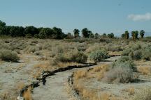
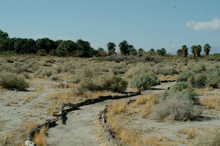
Dos Palmas Preserve
JOSHUA TREE
NATIONAL PARK
Joshua Tree National Park is north from
Box Canyon. From Box Canyon Road,
continue north on Cottonwood Road.
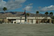
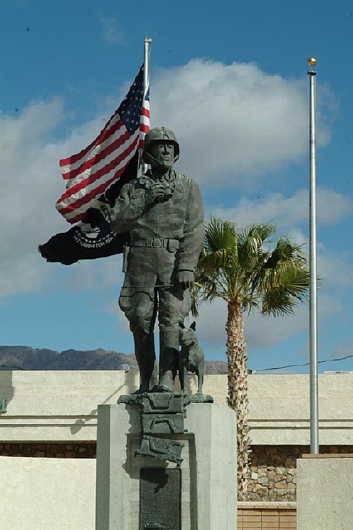
General Patton Memorial Museum
Interstate 10/ Exit 173 at Chiriaco Summit
N 33°39.697
W 115°43.330

General Patton Statue
Flag is proudly waving in background
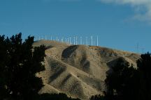
Wind turbines along I-10
"THE WIND FARM"
Photo from Whitewater Rest Area on I-10
West from Palm Springs and Cathedral City.
PHOTO HERE
Snow capped mountains in January 2006
Photo from Whitewater Rest Area on I-10
West from Palm Springs and Cathedral City.
|