|
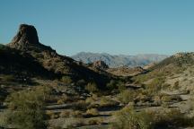
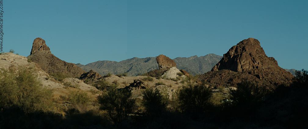
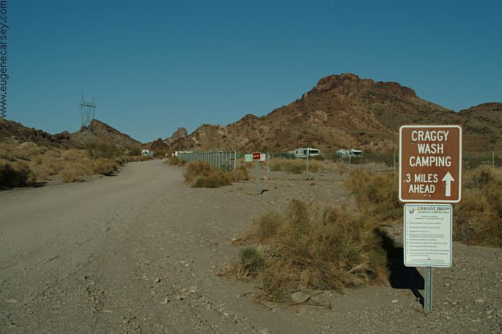
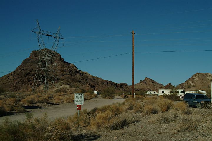
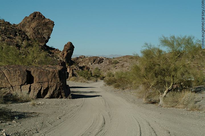
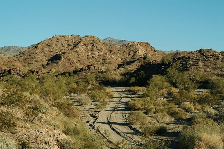
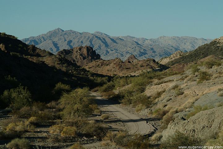
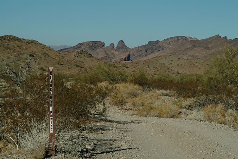
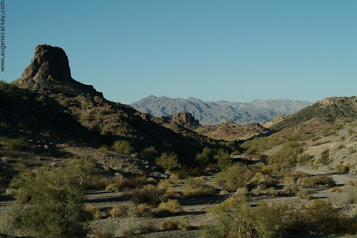
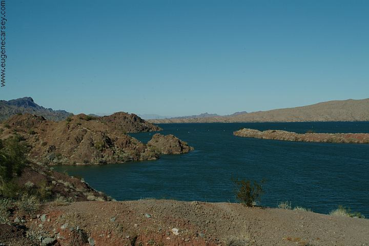
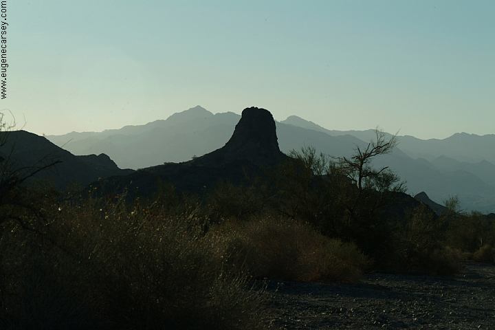
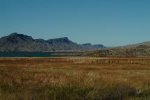
Craggy Wash
DIRECTIONS:
Hwy 95 north of Lake Havasu City
North of Lake Havasu City Airport
(Just north from milepost 190)
ROAD CONDITIONS:
Craggy Wash Road is unmaintained.
The road is narrow with soft shoulders.
The first half mile is relatively safe for RVs.
Usually we camp about 1.5 miles
Continue at own risk and know your
vehicles limitations.
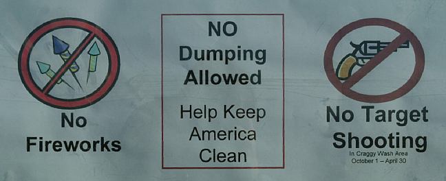
FLASH FLOOD AREA
Beware of weather conditions. Just use
common sense and there should be no
problems. Don't camp in washes or areas
you can see evidence of previous floods.
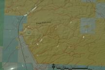
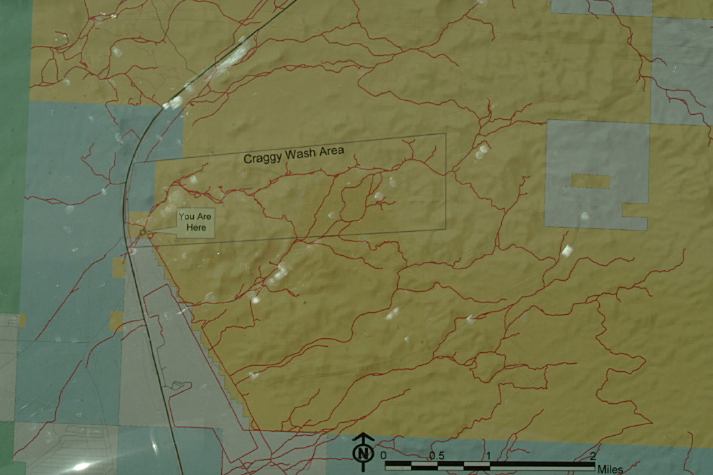
Map of Craggy Wash
Cheapest gas in Lake Havasu City.
Showers at Crazy Horse Campgrounds
in Lake Havasu City $4.00
Showers at Lake Havasu State Park
$7 per car
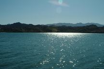
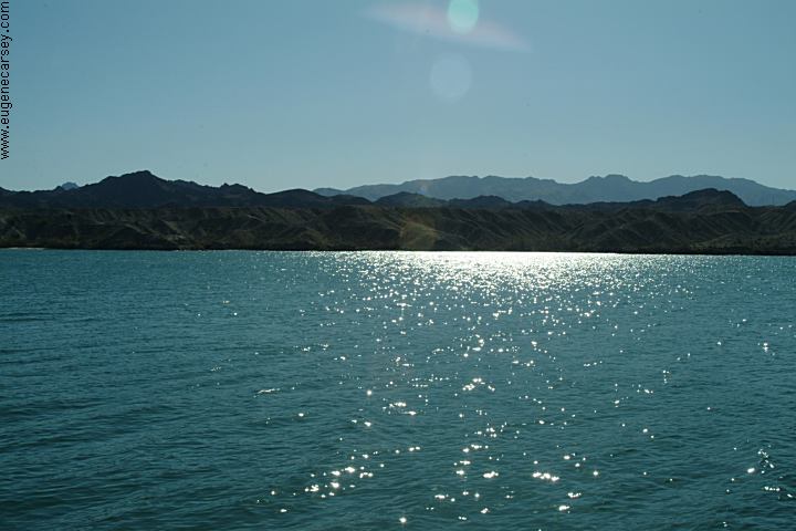
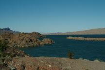
Lake Havasu

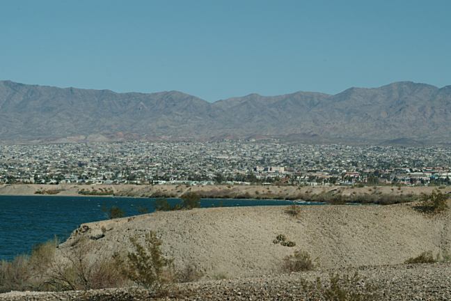
Lake Havasu City
Lake Havasu City was established in 1964
Elevation 575'
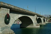
London Bridge
LONDON BRIDGE
London Bridge is famous... the same
bridge from the children's song, "London
Bridge is Falling Down". Several times we
had looked for it, only to realize we drove
over it on numerous occasions.
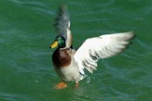
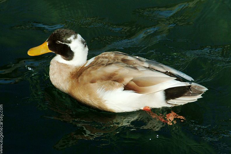
Ducks from London Bridge
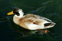
Ducks from London Bridge
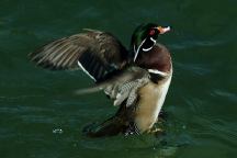
Ducks from London Bridge
LAKE HAVASU
More dispersed camping areas south
from Lake Havasu City. Includes more
photos of London Bridge and nearby
tourist attractions.
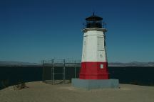
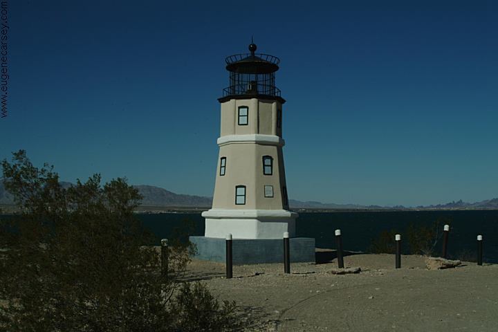
Vermillion Lighthouse
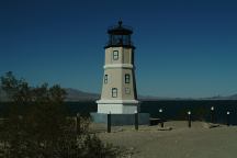
Split Rock Lighthouse
VERMILLION LIGHTHOUSE
The Lake Havasu replica is approximately
1/2 the size of the original at Vermillion, OH.
Dedicated October 30, 2005
N 34°27.600
W 114°22.378
SPLIT ROCK LIGHTHOUSE
The Lake Havasu replica is approximately
1/3 the size of the original at Two Harbors, MN.
Dedicated January 4, 2004
N 34°27.321
W 114°22.524
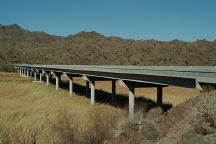
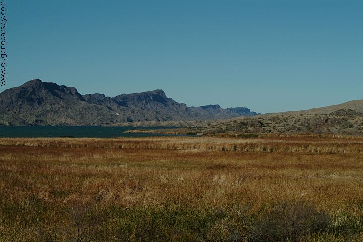
Bill Williams River National Wildlife Refuge
N 34°18.082
W 114°05.599
(Reading from north end of bridge)
Bill Williams River National Wildlife Refuge
Bill Williams River National Wildlife Refuge
BILL WILLIAMS RIVER REFUGE
Bill Williams River Refuge encompasses
6,105 acres. Home to many native plants,
animals and migratory birds. Don't be
surprised to see bald eagles.
SWANSEA
TOWNSITE
East from Parker, Arizona
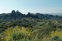
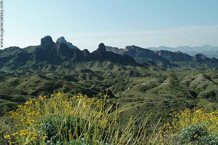
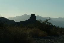
Needle Mountains
NEEDLE
MOUNTAINS
Needle Mountains are north from Lake Havasu
Also see: ALAMO LAKE
Also see: BONELLI
LANDING
Also see: BETTY'S KITCHEN
Also see: BLAIR VALLEY
Also see: BOX CANYON ROAD
Also see: CARRIZO BADLANDS
Also see: CHOCOLATE MOUNTAINS
Also see: COLORADO
DESERT
Also see: CIBOLA
/ COLORADO RIVER
Also see: CRYSTAL
HILL
Also see: DEATH VALLEY / SALINE
Also see: DEATH
VALLEY / WILDROSE
Also see: DOME
ROCK MOUNTAIN
Also see: GOVERNMENT WASH
Also see: GREG'S
HIDEOUT
Also see: JOSHUA
TREE
Also see: LAKE HAVASU
Also see: MOJAVE
DESERT
Also see: NEEDLE MOUNTAINS
Also see: NILAND
BOAT RAMP
Also see: OSBORNE
WASH
Also see: PAINTED CANYON
Also see: PALM
CANYON
Also see: PALO VERDE
Also see: PLOMOSA
ROAD
Also see: SCADDAN
WASH
Also see: SLAB CITY
Also see: SWANSEA
TOWNSITE
Also see: TRONA
PINNACLES
Also see: WAGON WHEEL
Also see: WILD COW SPRINGS
Also see: WINDY
POINT
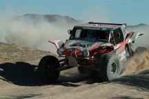
Parker 425 Desert Race
Feb.3, 2007
PARKER
425 DESERT RACE
Photos from Parker 425 Desert Race
Osborne Wash Area
February 3, 2007

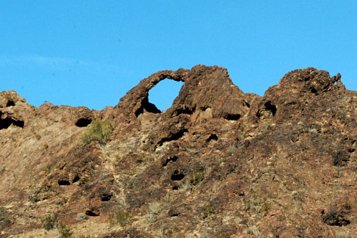
Natural Arch towards Black Meadow Landing
ARCH ON BLACK MEADOW ROAD
Take Hwy.95S across Parker Dam.
(California side of the Colorado River)
Take M.W.D. Road for 4.7 miles
Arch is on the right side...
LATITUDE: N 34°18.973
LONGITUDE: W 114°12.654
ELEVATION: 1255'
MEASUREMENTS: 22' W
Not sure of the exact height, because it
was a dangerous climb. There are dozens
more smaller arches throughout this area.
PLOMOSA
ROAD ARCHES
ROBERT'S
ARCH
There are several natural arches on
Plomosa Road. About 40 miles south
from Lake Havasu City. 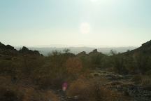
Craggy Wash
Craggy Wash
Camped here Jan.15, 2007
Camped here April 4, 2007
Camped here Feb.15, 2009
There were more people and crowded conditions.
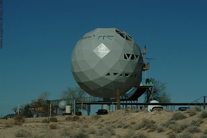
UFO House on Alamo Road
Alamo Road in Yucca, Arizona
Interstate 40 at Exit#25
We guess they landed here from another
planet and decided to stay. There are
several spaceships in the yard.
CAMPGROUND INDEX
Complete free campground listing
CAMPING ADVICE AND TIPS
TOURIST
PHOTOS

www.eugenecarsey.com
dispersedcampgrounds.com
Free campgrounds and camping
ARIZONA CAMPGROUND DIRECTORY
LAKE HAVASU CITY
CRAGGY WASH
|