|
|


|
Free camping and campgrounds |
| UPDATE:
Dec. 26, 2017 The road was almost completely washed out during the summer of 2016. I have been going there every summer since 1975 and have never ever seen it this bad. We skipped the year it happened, thinking they(NPS) would at least make it somewhat passable in the years time... NOPE! We were in a raised dodge PU with big tires when we went down in October 2017 and went just a little bit to far thinking we 'knew' the road, that it would widen up and firm up... WRONG! There are a few boulders that are the size of a VW bug we had to squeeze between, they now have white paint on both of them. Wouldn't recommend anything other than an a very capable 4X4 with a even more capable driver and in summer it would be wise not to go alone. It's really very sad, because it changed so much, then with Lake Mead being so low, you never recognize it. It's hard to believe that we used to drive our 1975 29ft Winnebago down there towing a 16ft ski boat and park it 20 feet from the water.. and now you have to walk/climb about 200 yards to reach the shore. Billy |
Lake Mead National Recreation Area Vaulted Toilet There was nobody else out here, so we It can get windy with the canyons acting
includes some incredible landscapes.
Greg's Hideout is no different, maybe
a little bit more subdued.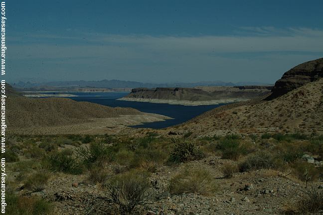
Greg's Hideout
No Garbage Service
15 Day Camping Limit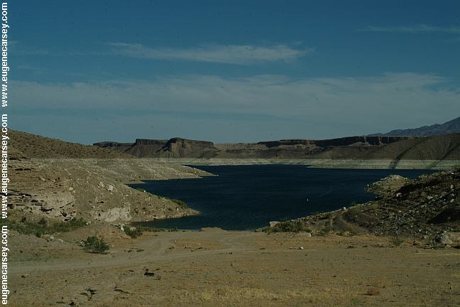
Greg's Hideout Camping Area
had complete privacy. It is a small, barren
camp area and could get crowded. There
are firepits from previous campers. Campfires
are allowed... which is more unusual these
days, but there is nothing to catch fire,
no trees and very limited brush or grass.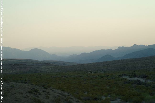
Hideout Road in the early morning.
as a funnel.
DIRECTIONS: From Las Vegas take Hwy 93. ROAD CONDITIONS: TEMPLE BAR BACK ROAD SALT SPRINGS WHITE HILLS PHOTO HERE Showers at Temple Bar BONELLI BAY BONELLI
LANDING PEARCE
FERRY CROSSING WINDY
POINT RECREATION AREA
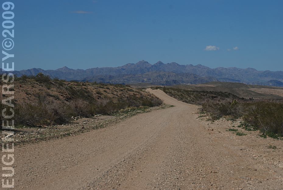
Hideout Road
From Kingman. Take I-40 Exit 51
Stockton Hill Road / Mojave County Rd #20.
Continue north for 36 miles
(Towards Joshua Tree Forest and Temple Bar)
Take Hideout Road
Greg's Hideout about 17 miles
(Via Temple Bar Back Road #134)
Turn towards Temple Bar.
Temple Bar Back Road #134 to Greg's Hideout
is at the Ranger Station. If this road is too rough,
you can continue south on Hwy 93 and turn on
Pearce Ferry Road towards Dolan Springs.
Continue past Dolan Springs to Hideout Road.
(Pearce Ferry Road at Milepost 22)
Turn left and Greg's Hideout is about 17 miles.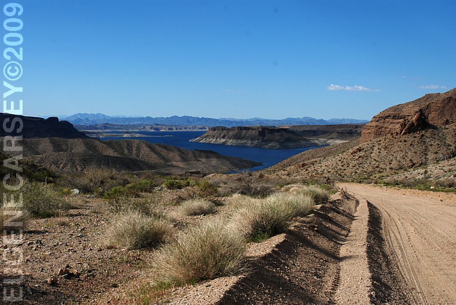
Hideout Road
Rough dirt roads with washboards
The last 1 1/2 miles of road to Greg's Hideout
is downhill and sandy. It shouldn't be a problem,
except in bad weather... and even if you did get
bogged down in the sand, it is downhill and should
be easy enough to push it out... least that what we
figured, but what do we know. Make your own
judgment, but once you start down the hill it can
be hard to turn around, so you will be committed.
RVs not recommended.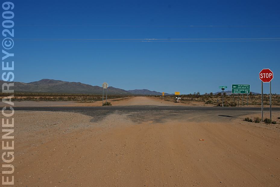
Hideout Road from the Junction of
Pearce Ferry Road and Antares Road
Temple Bar Back Road #134 has limited
pullout and hiding spots. There are possible
dispersed camping sites. The road is narrow with
washes and loose sand areas. We drove
this road twice, but probably won't risk
it again without a 4x4.
This road was too rough with our bad shocks.
Salt Springs is 4 miles on Road #135
This road was too rough with our bad shocks.
We couldn't see the White Hills from the junction
of Temple Bar Back Road.
Temple Bar
LATITUDE: N 36°02.327
LONGITUDE: W 114°19.074
(GPS from Boat Ramp Parking Area)
25 cents for two minutes
Look for the laundry building
(Hidden behind the cottages)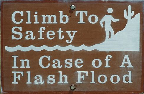
Climb To Safety In Case of a Flash Flood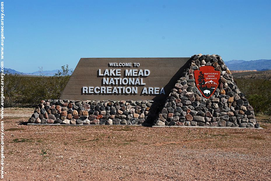
Lake Mead National Recreation Area
Sign on Road#173 towards Temple Bar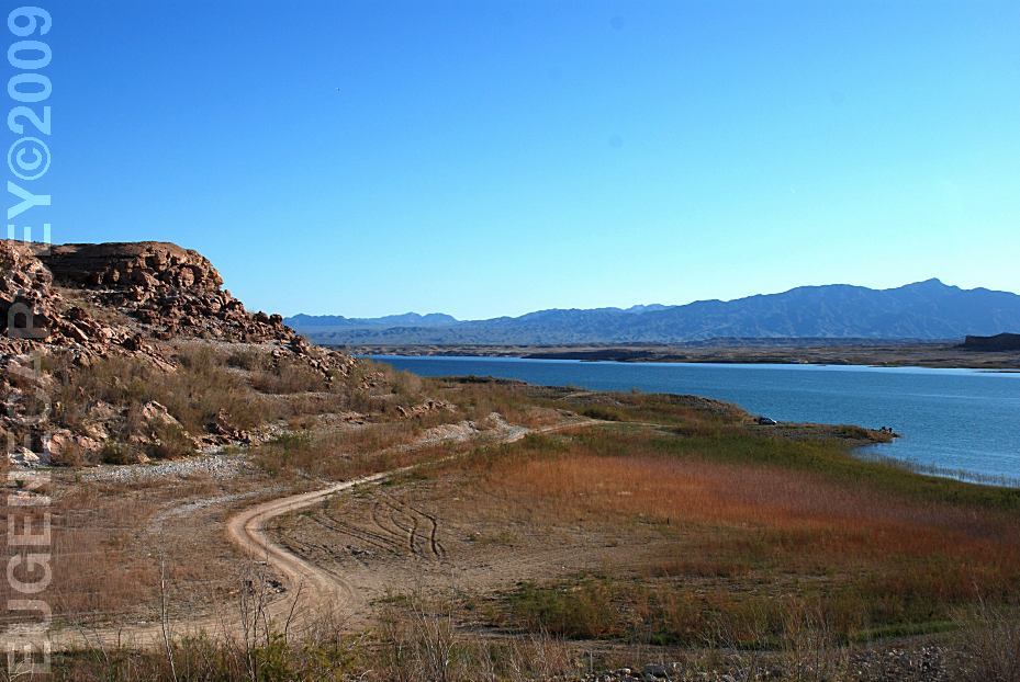
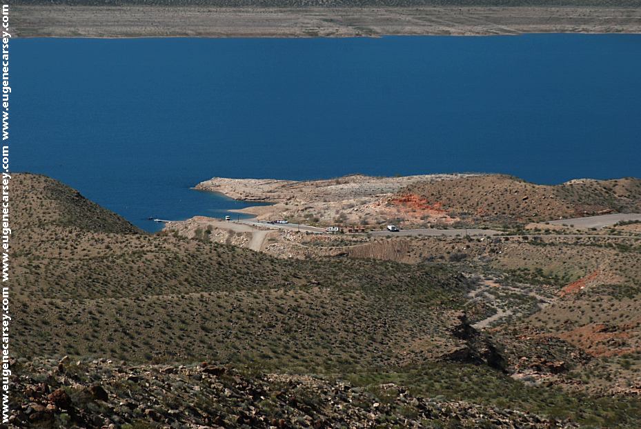
Bonelli Bay
Simple and relaxing.
LATITUDE: N 36°03.750
LONGITUDE: W 114°28.532
Camp along the shore of Lake Mead.
Enjoy walking the shores of Lake Mead
and this is about wild and crazy as it gets...
Bonelli Landing
Same area as Bonelli Bay
LATITUDE: N 36°05.004
LONGITUDE: W 114°29.106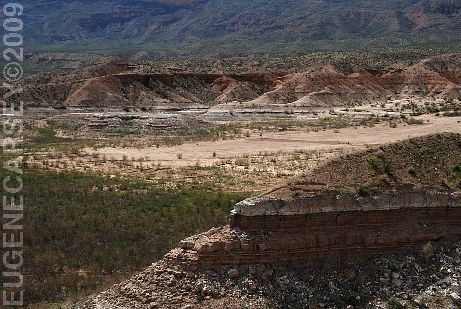
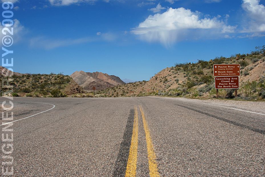
Pearce Ferry Crossing
LATITUDE: N 36°07.000
LONGITUDE: W 114°00.256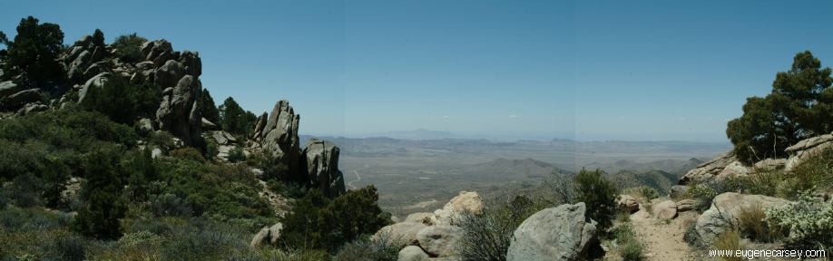
Windy Point Recreation Area
LATITUDE: N 35°26.188
LONGITUDE: W 114°09.603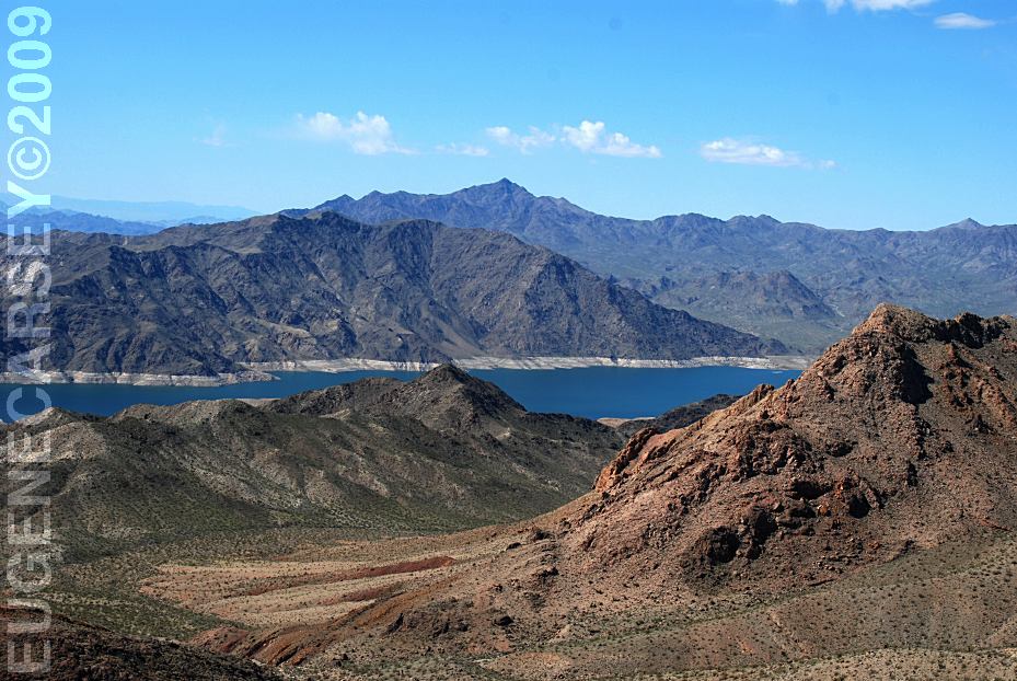
Lost Basin Viewpoint
LATITUDE: N 36°00.570
LONGITUDE: W 114°04.956
From Pearce Ferry Road...
Recommended to stop and read the information
signs provided at the parking area. Includes a map
showing all the old mining operations.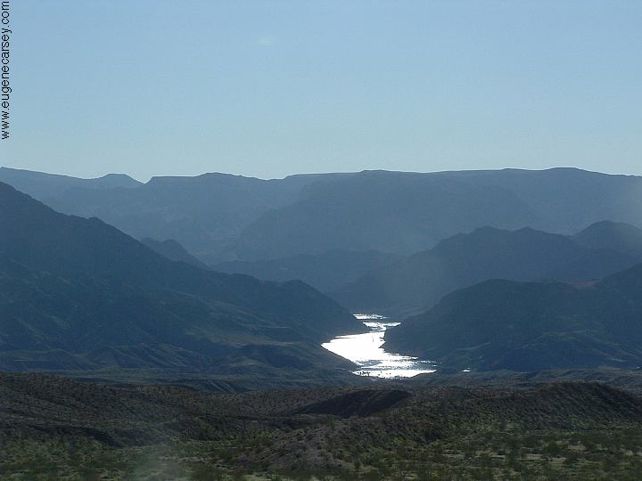
From road towards Temple Bar?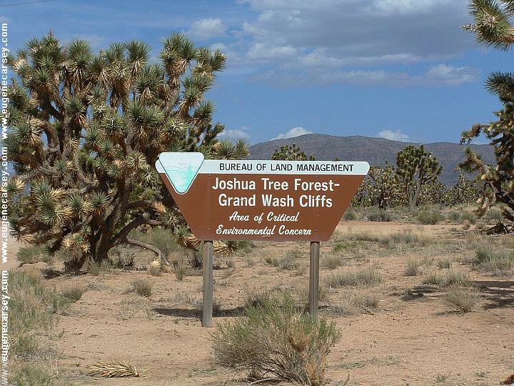
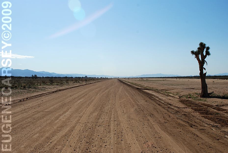
Joshua Tree Forest - Grand Wash Cliffs
Area of Critical Concern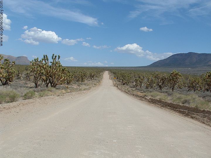
Joshua Tree Forest - Grand Wash Cliffs
Area of Critical Concern. This is the road
towards West Grand Canyon.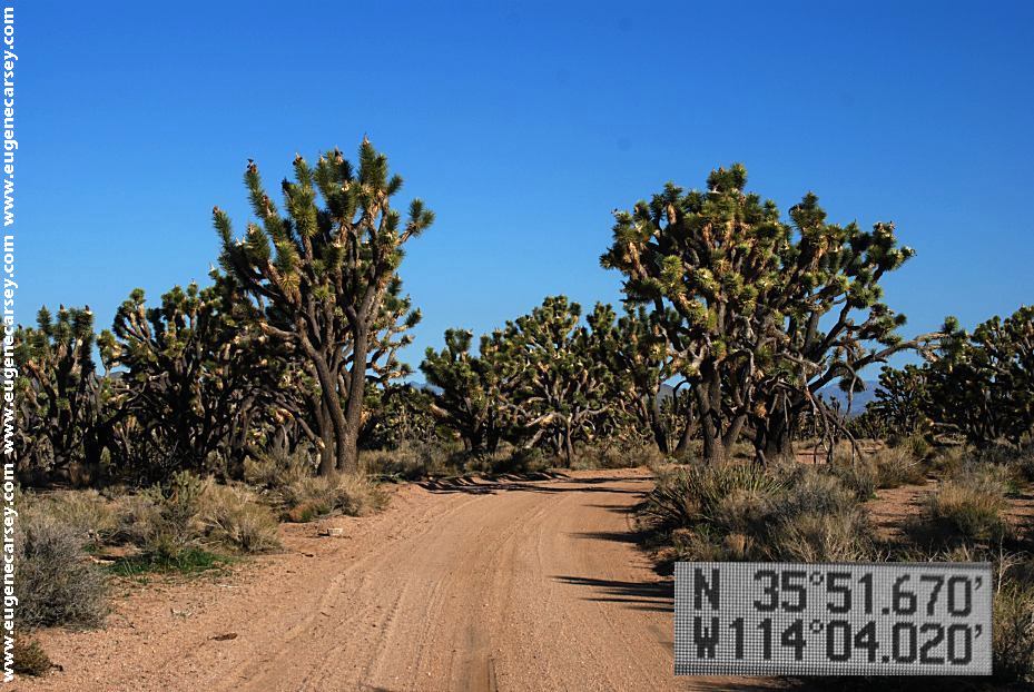
Joshua Tree Forest - Grand Wash Cliffs
Area of Critical Concern, This is one of
many side roads.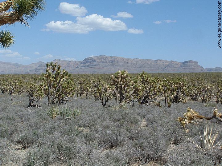
Joshua Tree Forest - Grand Wash Cliffs
Area of Critical Concern
|
Also see: ALAMO LAKE
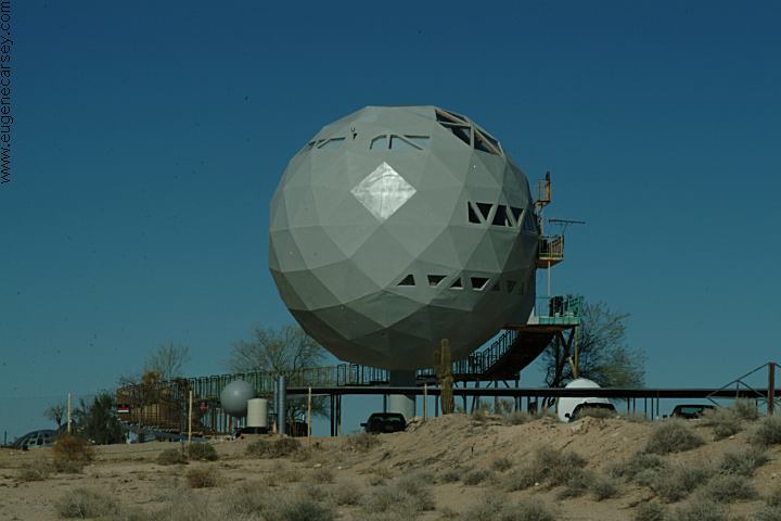
We guess they landed here from another CAMPGROUND INDEX TOURIST
PHOTOS Camped here May 2, 2006 dispersedcampgrounds.com |