|
|


|
Free camping and campgrounds |
|
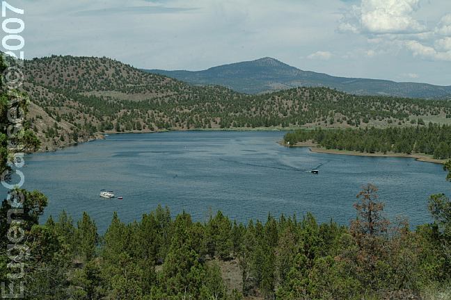
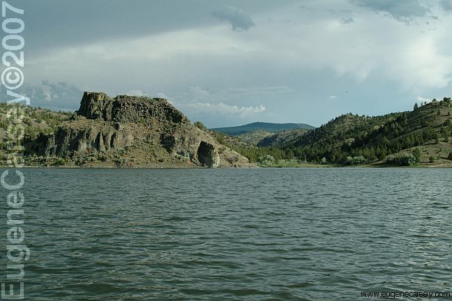
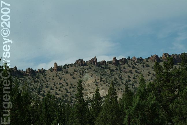
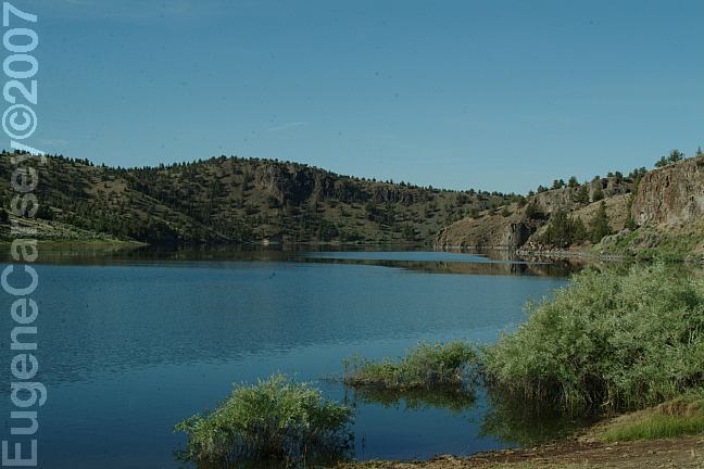
Prineville Reservoir offers spectacular
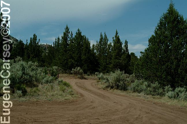
landscapes, North Shore Road is an unmaintained road that
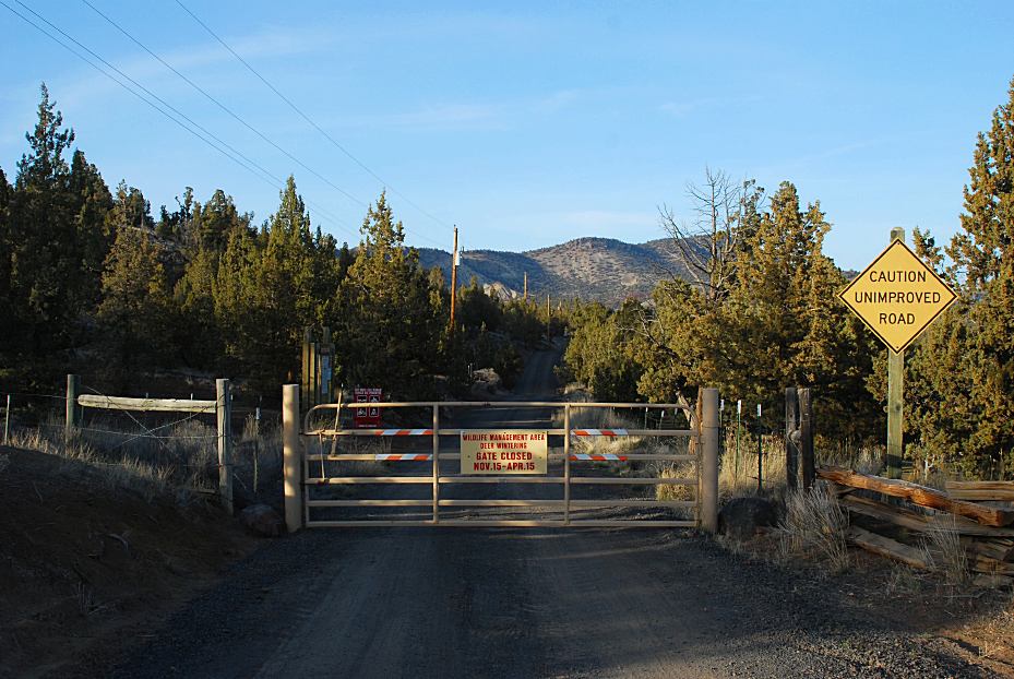
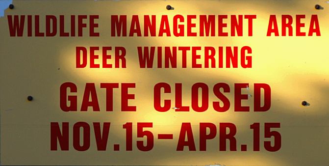
Wildlife Management Area / Deer Wintering
OWL CREEK CAMPGROUND
NO NAME CAMPGROUND JUNIPER BASS
CATTLE GUARD OLD FIELD NO NAME CAMPGROUND
As you are driving along North Shore Road
MORE ESTABLISHED CAMPGROUNDS |
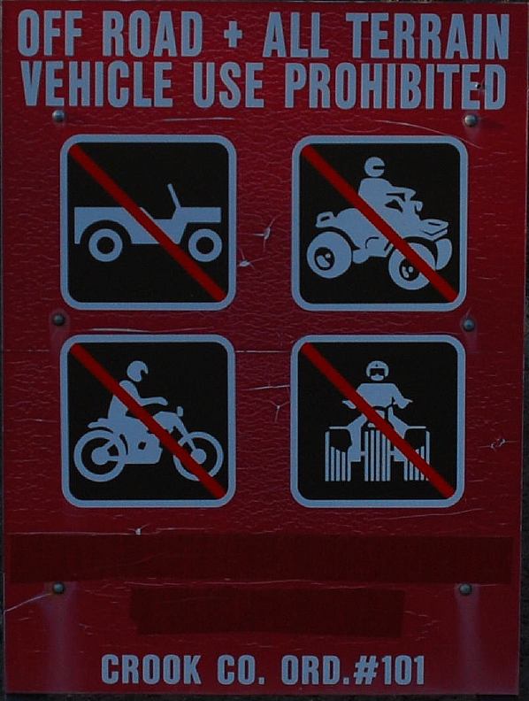

DIRECTIONS: If driving from the east on Highway 380 MAP FIRE RESTRICTIONS BEAR FACTS
AND SAFETY PRECAUTIONS COUGAR FACTS RATTLESNAKE
FACTS
From Prineville, OR
Go east on Highway 380
About 1 1/2 mile turn right to Prineville Reservoir
Just before the entrance to Jasper State Park
Take the primitive dirt road to the left.
Turn between milepost 16-17
There is a sign explaining any rules and restrictions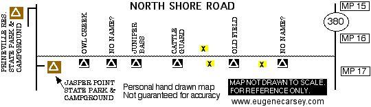
These are our personal hand drawn maps
Not guaranteed for accuracy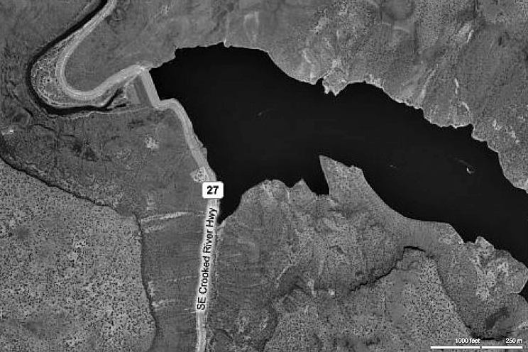
Satellite Image of Bowman Dam
It is your responsibility to know what fire
restrictions are in effect. A shovel, ax, and
5 gallons of water may be required. Leather
gloves and fire extinguisher recommended.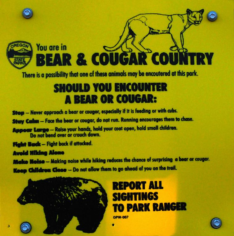
Bear and Cougar Country
Be aware when camping in bear country.
Keep a clean camp, food out of reach, ect...
Cougars are a potentially dangerous animal,
although attacks on humans are rare.
Rattlesnake Facts and Basic Emergency Care.
PHOTOS HERE Showers at Ochoco Lake County Park PHOTOS HERE Showers at Prineville Reservoir State Park MILLICAN
VALLEY OHV AREA SHOE TREE MAYFIELD
POND RECREATION AREA ROBERTS
BAY RECREATION AREA LOWER
CROOKED RIVER Also see: BROADWAY LAVA FIELD OREGON FREE CAMPGROUND MAP EAST FORT ROCK OHV TRAIL SYSTEM: PINE MOUNTAIN OBSERVATORY CAMPGROUND INDEX Camped here July 9, 2006 dispersedcampgrounds.com
Ochoco Lake County Park
Highway 26 / Milepost 26
Non-Camper Shower $3.50
Prineville Reservoir Park
LATITUDE: N 44°07.685
LONGITUDE: W 120°43.370
$2.00 per person
Wildflowers (July 2006)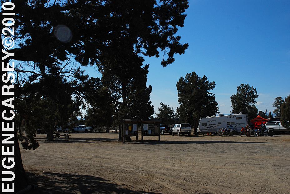
Millican Valley OHV
Four Corners Staging Area
LATITUDE: N 44°03.777
LONGITUDE: W 120°54.545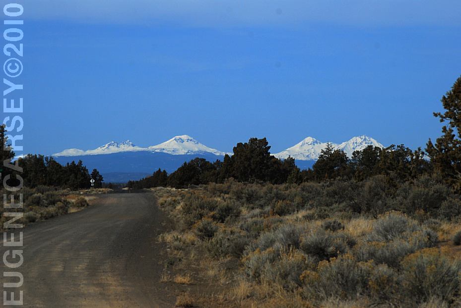
Mountain views from Willard Road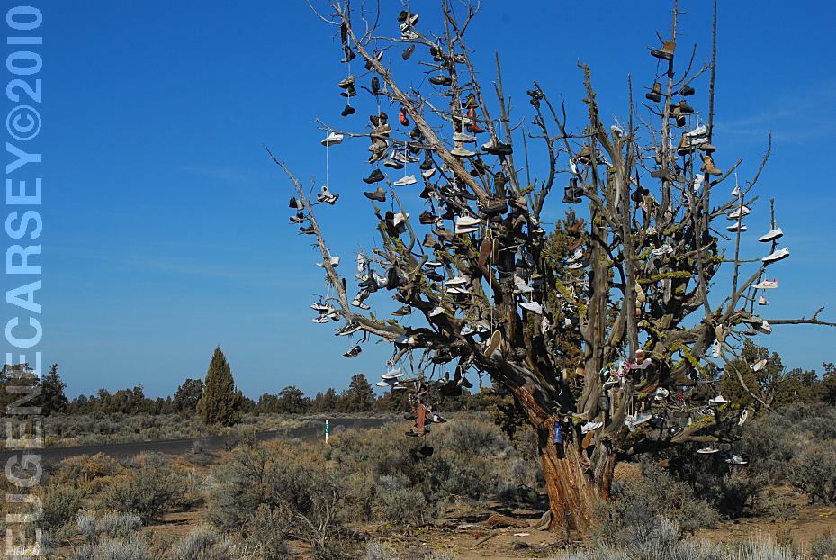
Tree covered with shoes on SW Reservoir Road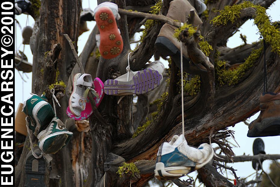
Tree covered with shoes on SW Reservoir Road
LATITUDE: N 44°04.484
LONGITUDE: W 120°56.963
SW Reservoir Road / MP 10
3 1/2 miles past Alfalfa Store
Near Willard Road and Alfalfa Curves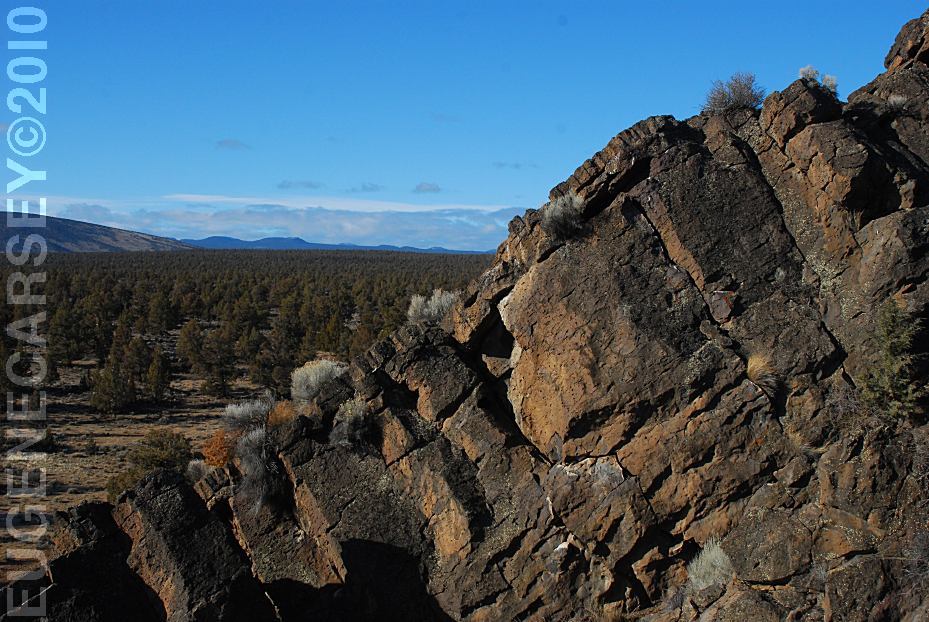
Badlands Rock
LATITUDE: N 43°59.489
LONGITUDE: W 121°01.648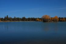
Reynolds Pond
LATITUDE: N 44°03.540
LONGITUDE: W 121°00.895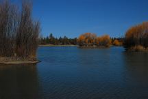
Reynolds Pond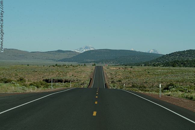
Highway 20 at Millican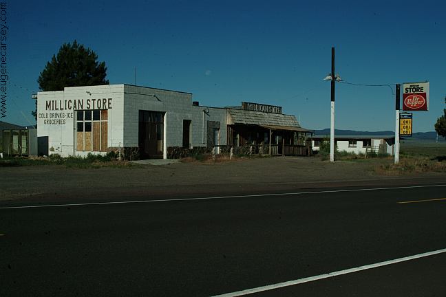
Millican
We have bought gas here in the past,
now is Millican is becoming a Ghost Town.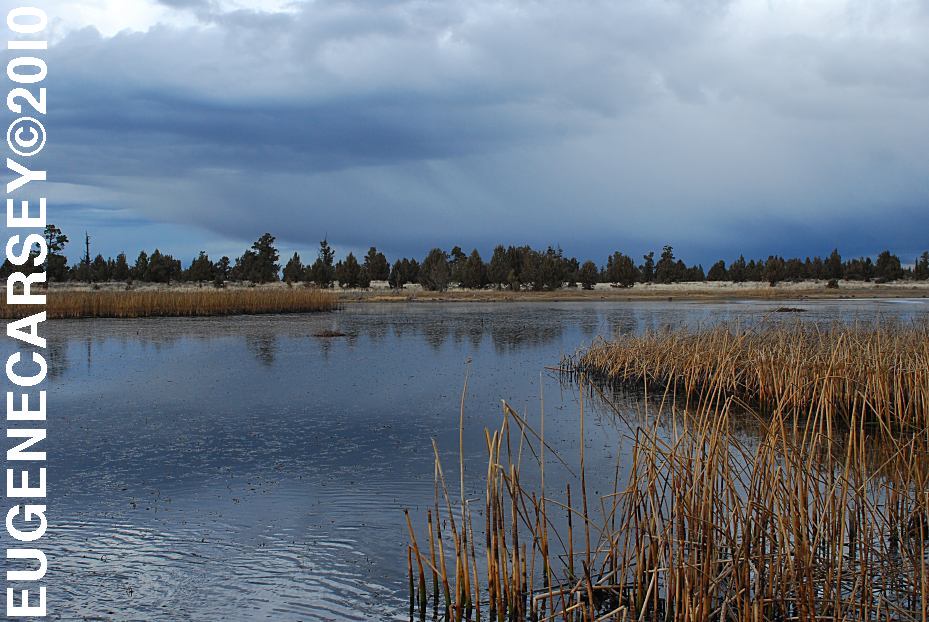
Mayfield Pond
LATITUDE: N 44°04.980
LONGITUDE: W 121°07.830
Elevation: 3290'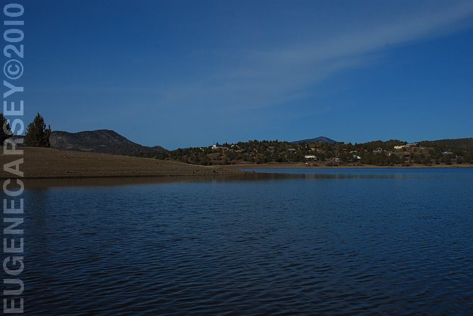
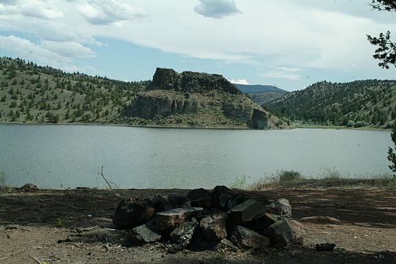
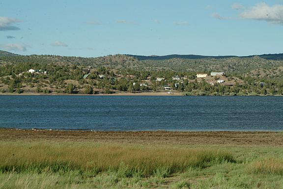
Prineville Reservoir
Viewed from Roberts Bay East #1 Campground
LATITUDE: N 44°06.810
LONGITUDE: W 120°42.020
Salt Creek Road for 8 miles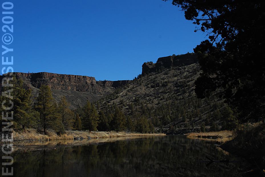
Crooked River
Viewed from Still Water Campground
LATITUDE: N 44°09.755
LONGITUDE: W 120°49.833
Also see: HAYSTACK
RESERVOIR
Also see: OCHOCO
NF / COTTONWOOD
Also see: OCHOCO
NF / ROAD#16
Also see: PRINEVILLE /
ROAD#27
Also see: PINE MOUNTAIN OBSERVATORY
Also see: NORTH SHORE
Also see: SALT
CREEK ROAD
Also see: STEENS
MOUNTAIN
Google Custom Map by Ian
Google custom map by Ian with most of the
free campgrounds in Oregon.
Camping is permitted at all the trailheads
and staging areas, as well as any existing
dispersed camps.
CAMP
II TRAILHEAD
ROAD
25 STAGING AREA
CHINA
HAT CAMPGROUND
ROAD
2510 STAGING AREA
SOUTH
LAVA TRAILHEAD
SAND
SPRINGS CAMPGROUND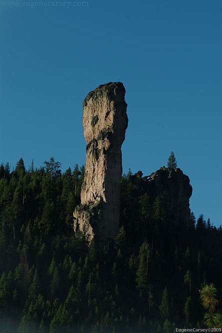
Steins Pillar near Prineville, OR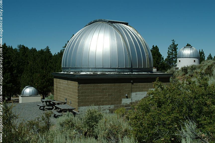
Pine Mountain Observatory
Listed under Free Campgrounds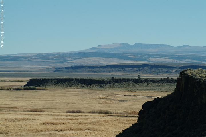
Steens Mountain in the distance
From Hwy.205 at Buena Vista Viewpoint
Chemtrails of the USA
What are all those funny clouds in the sky...
Every day from morning to night, continuous
aerial spraying.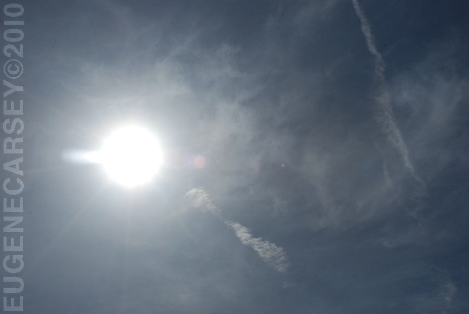
Funny Clouds almost every day... March 2010
Complete free campground listing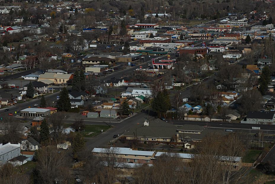
Prineville, OR
Free campgrounds and camping
OREGON CAMPGROUND DIRECTORY
PRINEVILLE RESERVOIR
NORTH SHORE ROAD
