|
DIRECTIONS:
From Bishop take Hwy.395 north
Past Crestview Roadside Rest Area
Turn left on Deadman Road
WARNING:
Be careful where you drive. The roads are
sandy, stay on hard packed surfaces.
Drinking water at Crestview Rest Area
(Hwy.395 south about a mile)
Showers at Reds Meadow Campground.
Showers located in Big Pine.
Buy token at the Mobil Gas Station.
Cost $3.50 for 10 minutes.
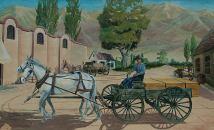
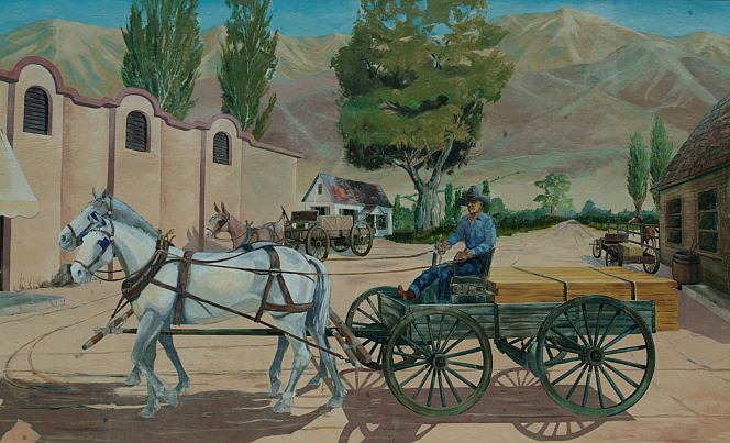
Mural located in Bishop, CA
Wireless Internet connections at several
locations in Bishop or Mommoth.
Best Grocery Store in Bishop, CA
is Manor Market on Hwy.168 west
of town. (At the Shell Gas Station)
Much cheaper and fresher produce
than the major food chains...
Also see: ALABAMA HILLS
Also see: BAKER CREEK
Also see: BLACK
ROCK RESERVOIR
Also see: BRECKENRIDGE
Also see: BRISTLECONE PINE FOREST
Also see: BUTTERMILK
COUNTRY
Also see: CHIMNEY
PEAK
Also see: COTTONWOOD
CANYON
Also see: CROWLEY
LAKE
Also see: DEATH VALLEY / SALINE
Also see: DEATH
VALLEY / WILDROSE
Also see: GOVERNMENT WASH
Also see: KIRCH
FLAT CAMPGROUND
Also see: LAKE
ISABELLA
Also see: MONO HOT
SPRINGS
Also see: PINE CREEK
Also see: PV PIT
CAMPGROUND
Also see: SEQUOIA
NF / HWY 190
Also see: SHERMAN
PASS ROAD
Also see: TRONA
PINNACLES
Also see: WAGON WHEEL
Also see: WALKER
PASS
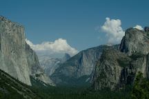
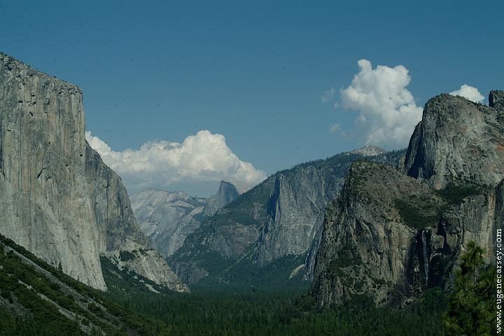
Yosemite National Park
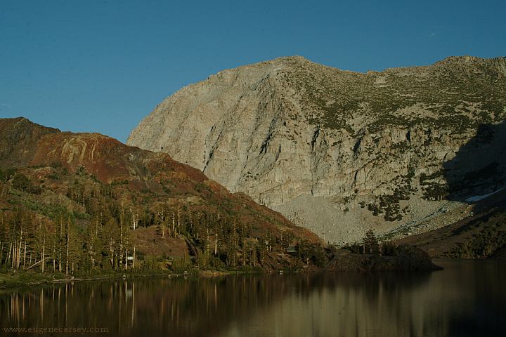
Ellery Lake / Hwy.120 - Elevation 9538'
It is recommended to buy a National Parks Pass
Covers entrance fees to all National Parks and
most fees for National Forests and BLM Lands.
Valid one year from month of purchase. 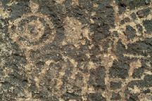
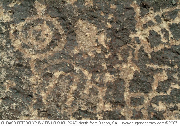
Chidago Canyon Petroglyphs
CHIDAGO
CANYON PETROGLYPHS
About 20 miles north from Bishop, CA
Including Chidago Petroglyphs, Red Rock
Petroglyphs, Fish Slough Petroglyphs, and
Chalfant Petroglyphs.
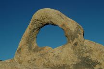
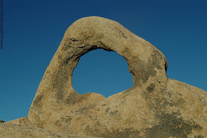
Arch Off Whitney Portal Road
Alabama Hills Recreation Area
ARCHES OF
ALABAMA HILLS
There are hundreds of natural arches and
windows throughout the Alabama Hills.
Located west from Lone Pine, CA
Camped here August 31, 2006
CAMPGROUND INDEX
Complete free campground listing
CAMPING ADVICE AND TIPS
TOURIST
PHOTOS

www.eugenecarsey.com
dispersedcampgrounds.com
Free campgrounds and camping
CALIFORNIA CAMPGROUND DIRECTORY
INYO NATIONAL FOREST
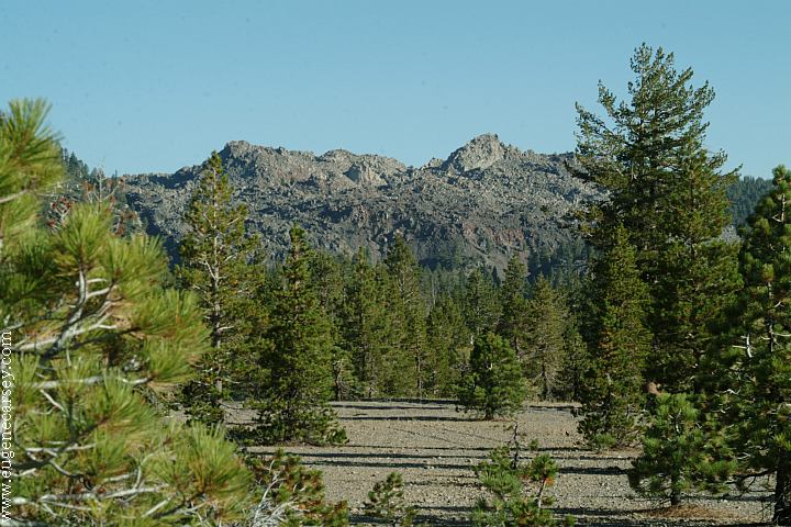
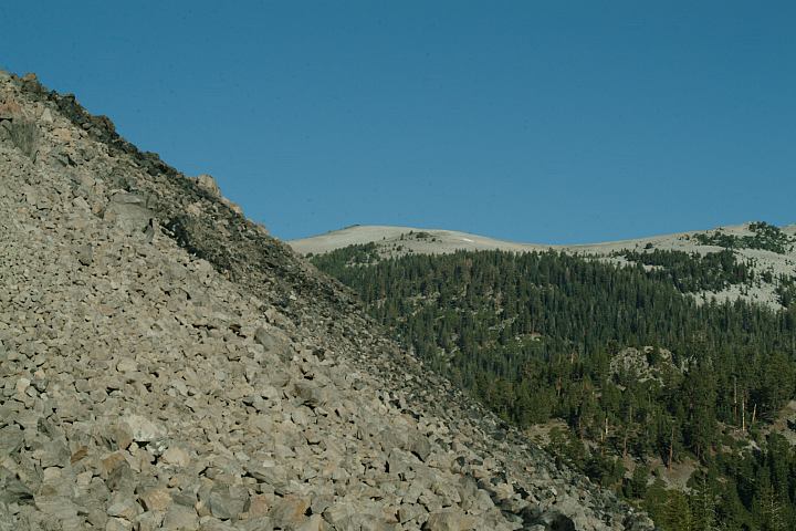
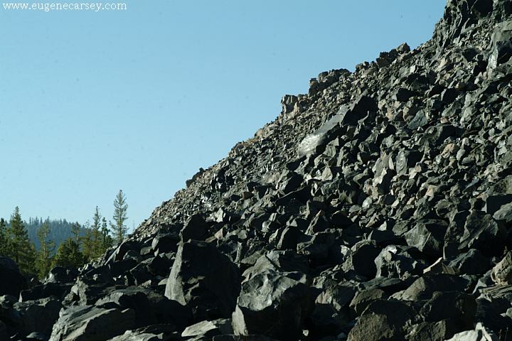
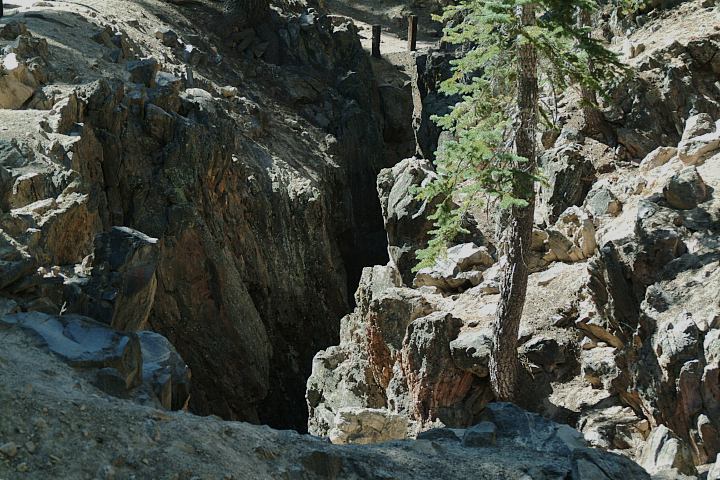
DEADMAN CAMPGROUND
|