|
|


|
Free campgrounds and camping
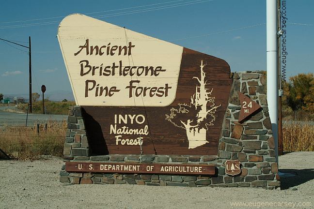
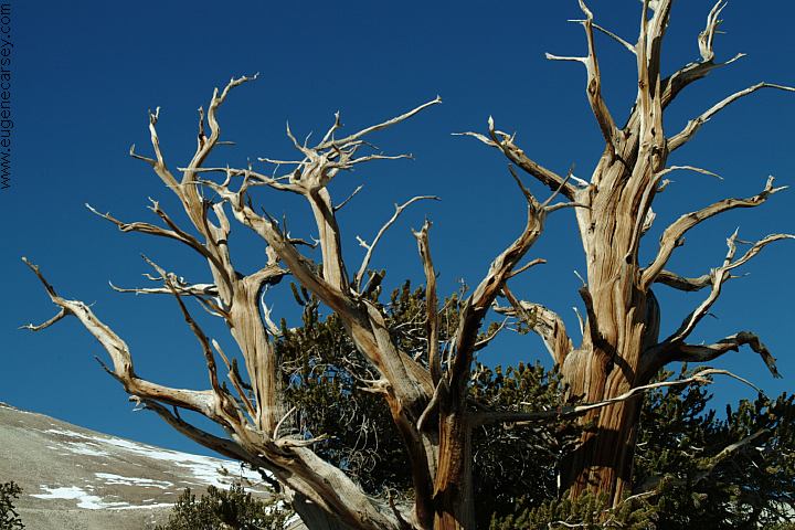
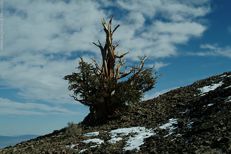
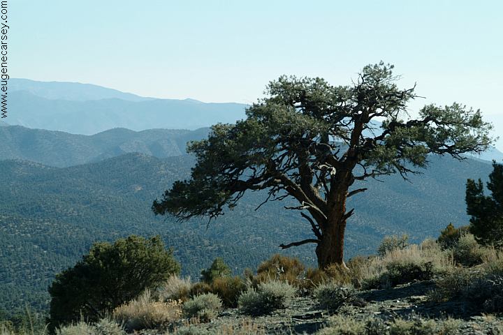
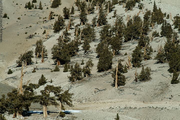
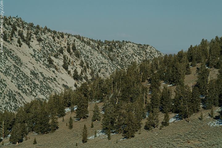
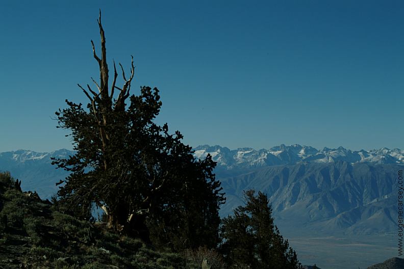
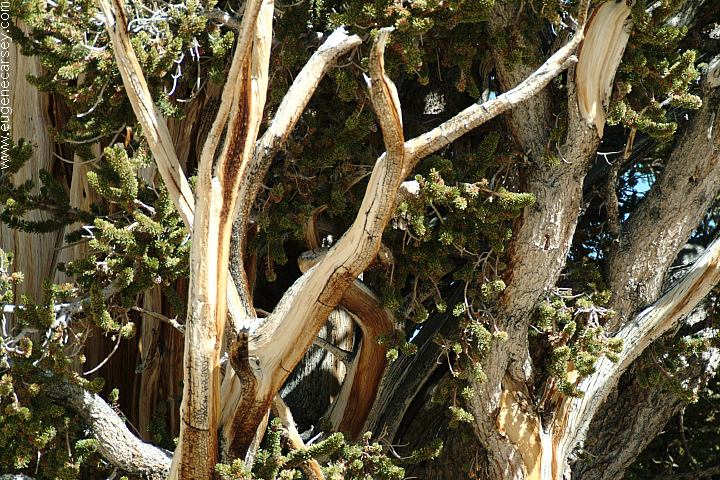
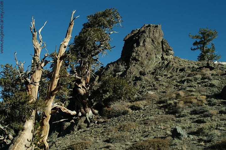
Bristlecone Pine trees are the oldest known |
|
|
|
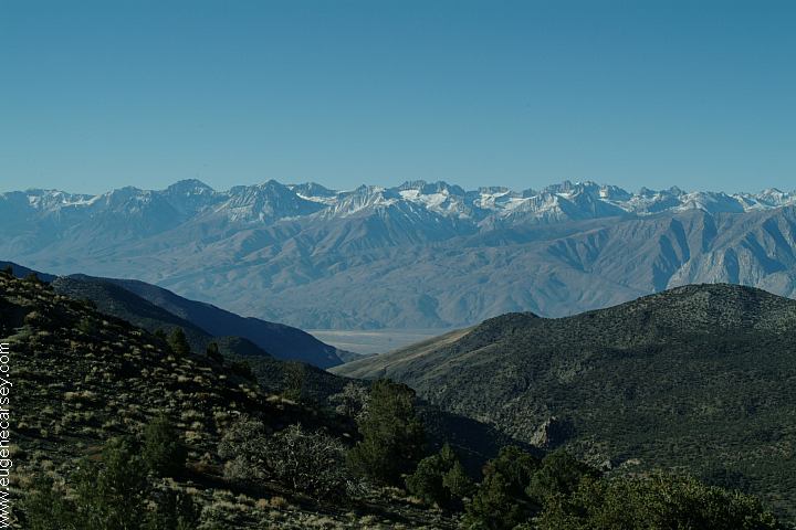
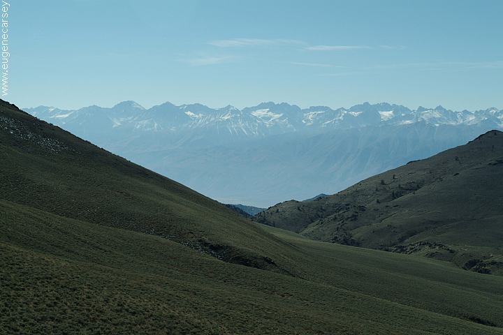
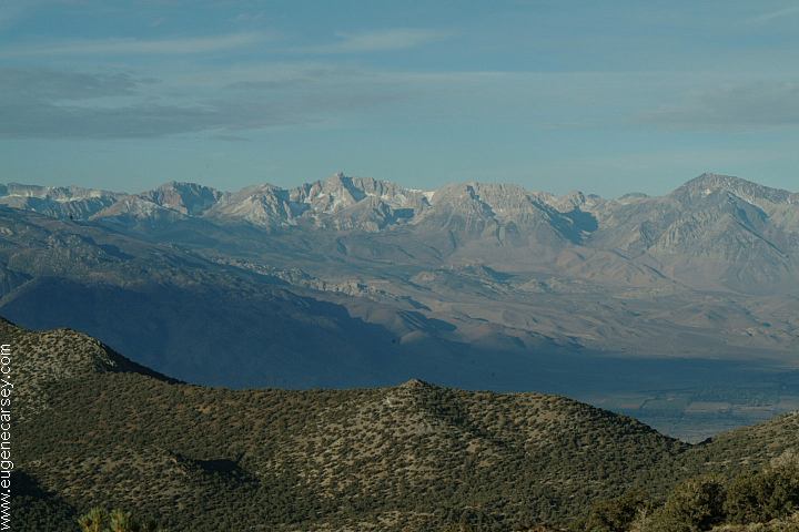
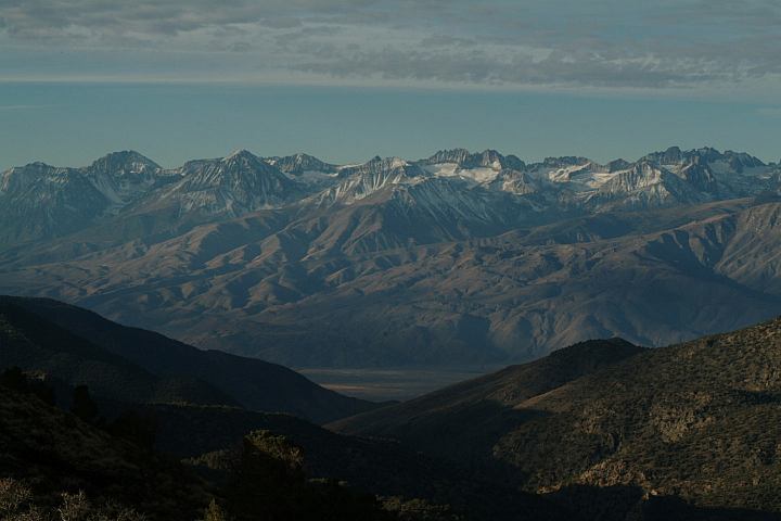
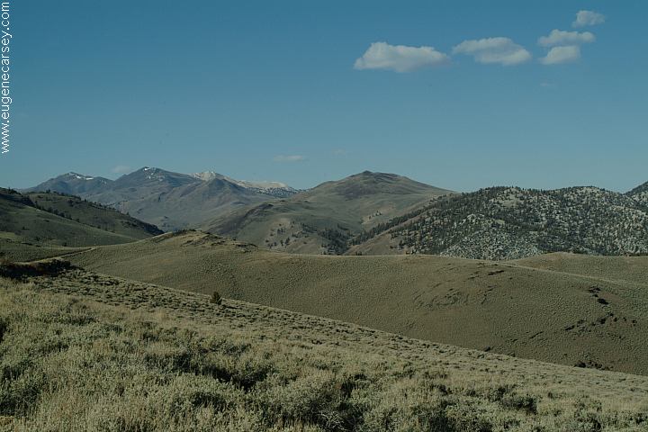
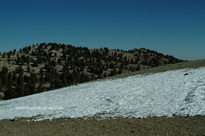
Amazing views as you are standing upon
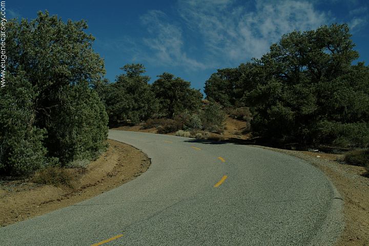
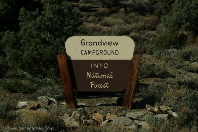
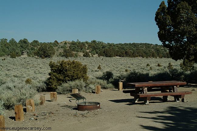
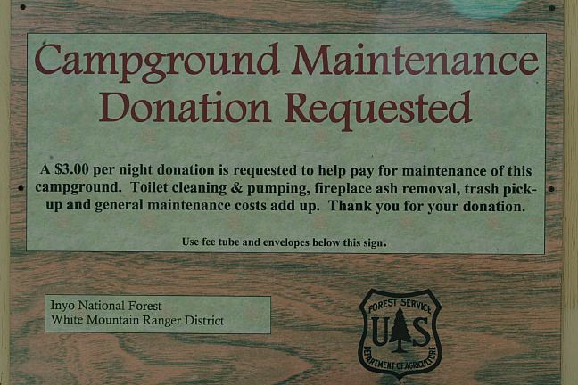
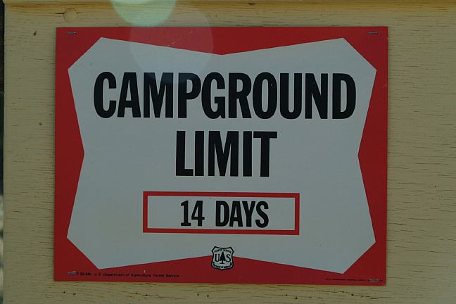
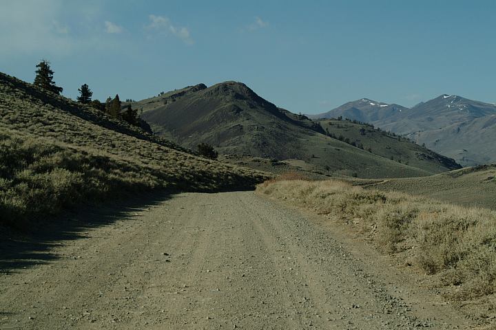
GRANDVIEW CAMPGROUND
We make a donation without reservation.
|
|
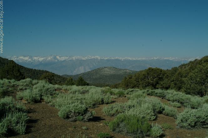
SIERRA VIEW OVERLOOK SCHULMAN GROVE |
|
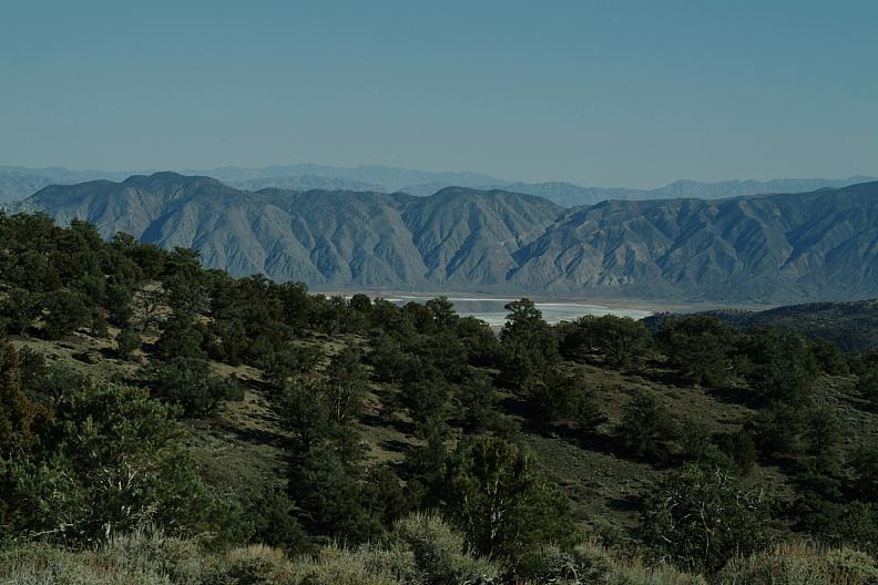
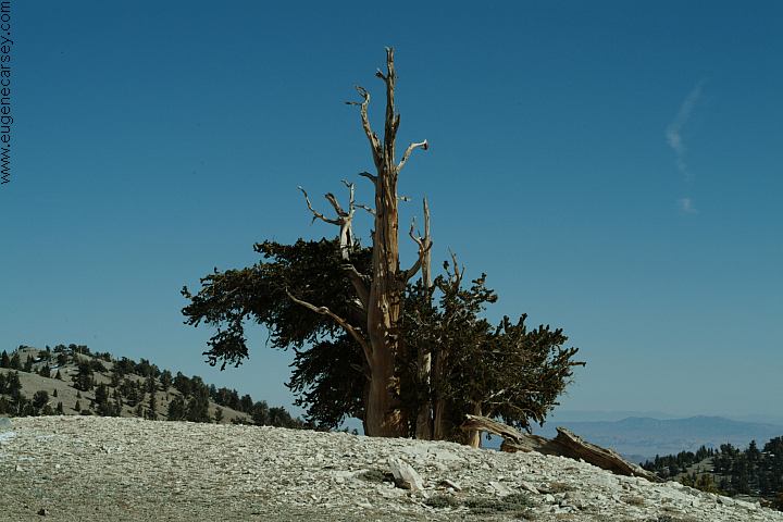
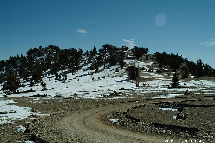
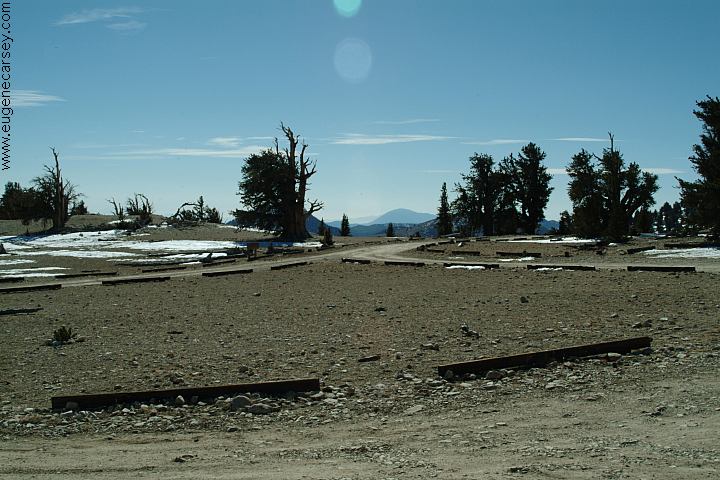
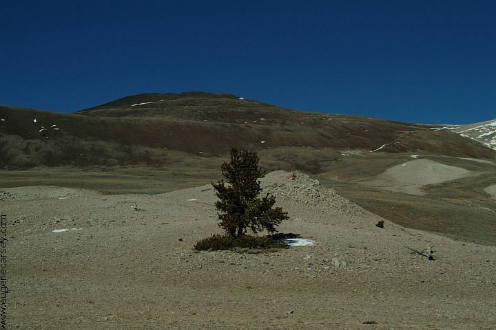
PATRIARCH GROVE
|
|
|
|
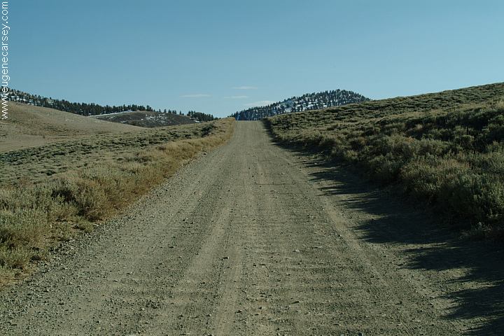
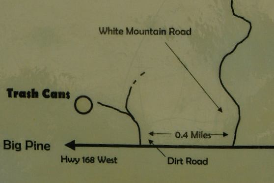
DIRECTIONS: ROAD CONDITIONS MILEAGE CHART:
Garbage bins at Cedar Flat Group Camp Showers located in Big Pine. CA. Drinking water and garbage dumpsters at Wireless Internet connections at several Best Grocery Store in Bishop, CA Weather reports on 93.3FM (Mammoth Lakes)
|
ARCHES OF
ALABAMA HILLS CHIDAGO
CANYON PETROGLYPHS ESTABLISHED CAMPGROUNDS: From the highest point in the contiguous KEELER,
CALIFORNIA Also see: ALABAMA HILLS Camped here July 2, 2005 CAMPGROUND INDEX
dispersedcampgrounds.com
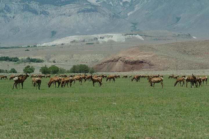
Elk at Wildlife Viewing Area on Hwy.395
Between Big Pine and Independence, CABAKER
CREEK COUNTY C.G.
Free campground located near Big Pine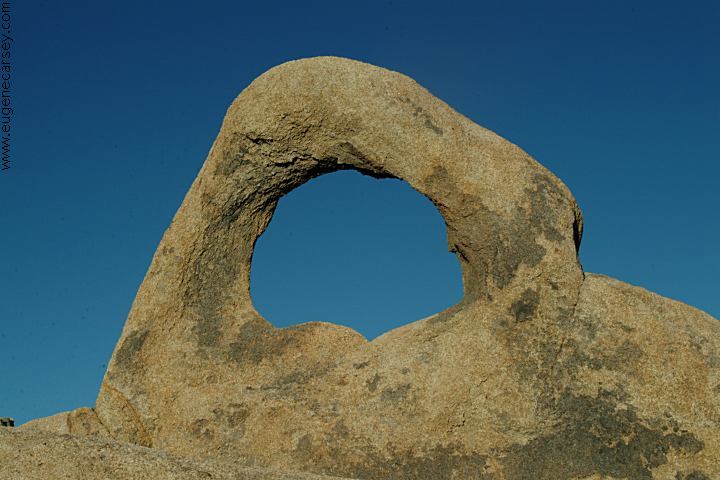
Arch Off Whitney Portal Road
Alabama Hills Recreation Area
There are hundreds of natural arches and
windows throughout the Alabama Hills.
Located west from Lone Pine, CA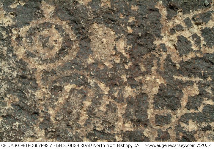
Chidago Canyon Petroglyphs
About 20 miles north from Bishop, CA
Including Chidago Petroglyphs, Red Rock
Petroglyphs, Fish Slough Petroglyphs, and
Chalfant Petroglyphs.
INYO NATIONAL FOREST
These are campgrounds that charge a fee
See: Inyo
National Forest Information
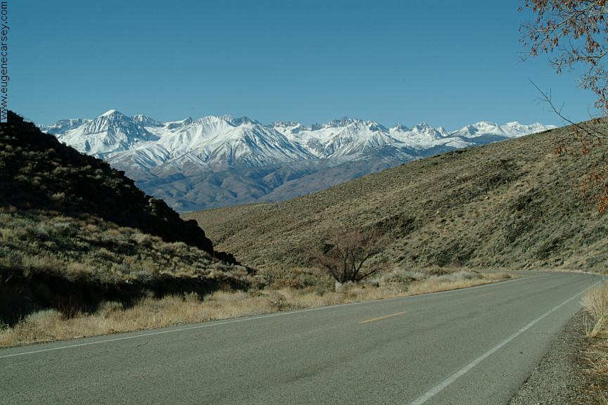
United States, Mt.Whitney at 14,496' to
the lowest place, Badwater, at nearly 280'
below sea level, extreme landscapes abound,
every road and turn produces something new...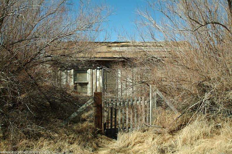
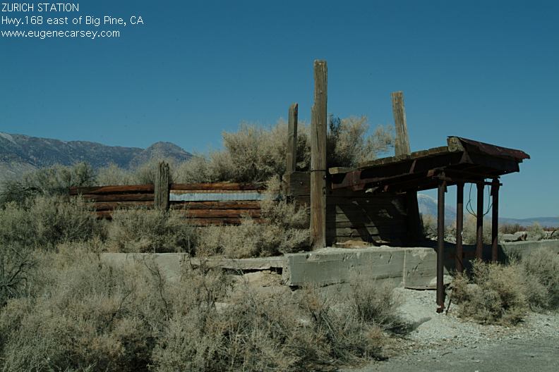
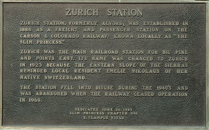
Old house in Keeler, CA
Photos from Keeler, CA
Located on Hwy.136
13 miles east from Lone Pine, CA
Also see: BAKER CREEK
Also see: BIG
SPRINGS
Also see: BRECKENRIDGE
Also see: BUTTERMILK
COUNTRY
Also see: CHIMNEY
PEAK
Also see: COTTONWOOD
CANYON
Also see: CROWLEY
LAKE
Also see: DEADMAN
C.G
Also see: DEATH VALLEY / SALINE
Also see: DEATH
VALLEY / WILDROSE
Also see: GLASS
CREEK
Also see: GOVERNMENT WASH
Also see: HARTLEY
SPRINGS
Also see: KIRCH
FLAT
Also see: LAKE
ISABELLA
Also see: PINE
CREEK
Also see: PV PIT
CAMPGROUND
Also see: SALT SPRINGS RESERVOIR
Also see: SHERMAN
PASS ROAD
Also see: TRONA
PINNACLES
Also see: WAGON WHEEL
Also see: WALKER
PASS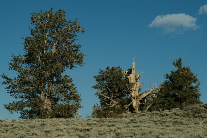
Bristlecone Pines
Camped here Oct. 29, 2006
Camped here Feb.19, 2007
Temperatures were extremely cold.
Because of the high elevation and sub-
zero temperatures, the car battery went
dead from just from playing the radio. It
was a good thing we always carry an extra
battery.
Camped here March 29, 2007
Camped here May xx, 2007
Complete free campground listing
Free campgrounds and camping
CALIFORNIA CAMPGROUND DIRECTORY
INYO NATIONAL FOREST
GRANDVIEW CAMPGROUND
ANCIENT BRISTLECONE PINE FOREST
