|
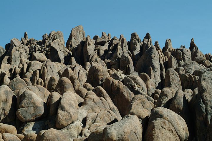
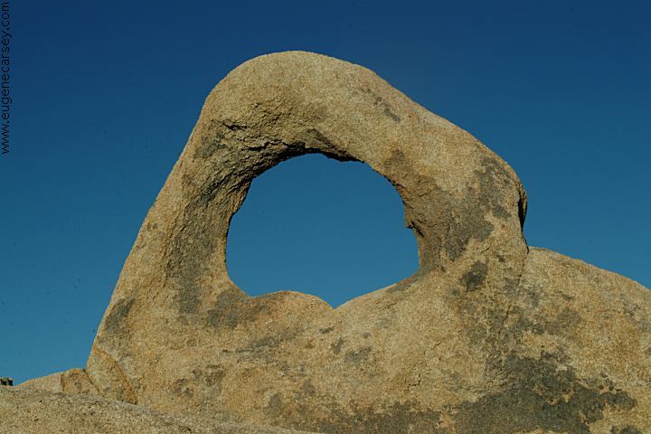
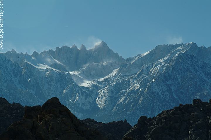
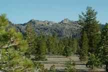
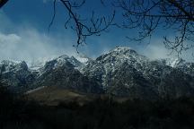
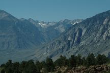
ALABAMA
HILLS
Alabama Hills Recreation Area is actually
BLM Land, but included on this page because
it is in the same area and includes some
amazing scenery.
BIG SPRINGS CAMPGROUND
Hwy.395
Turn east on Owens River Road.
There are several free campgrounds...
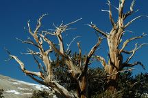
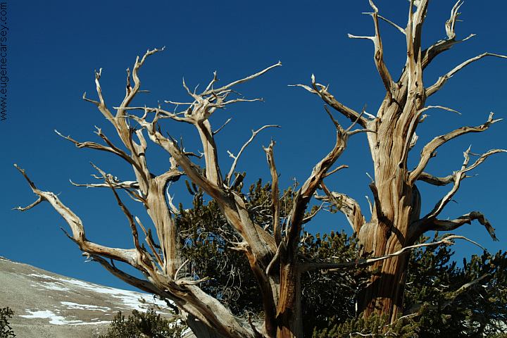
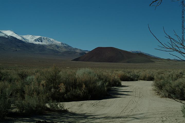
Bristlecone Pine Tree
BRISTLECONE
PINE FOREST
Take Hwy.395 north to Big Pine, CA
One of our favorites with incredible views
of the Sierra Nevada Mountains. Elevations
above 10,000 feet.
BUTTERMILK
COUNTRY
West from Bishop on Hwy.168
Turn on Buttermilk Road and there are
primitive campsites along the road and
McGee Creek. Great scenery and popular
area with the rock climbers.
COTTONWOOD CANYON
About 10 miles south of Lone Pine, CA
Nice area with a couple primitive campsites.
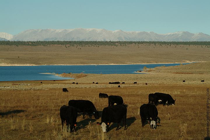
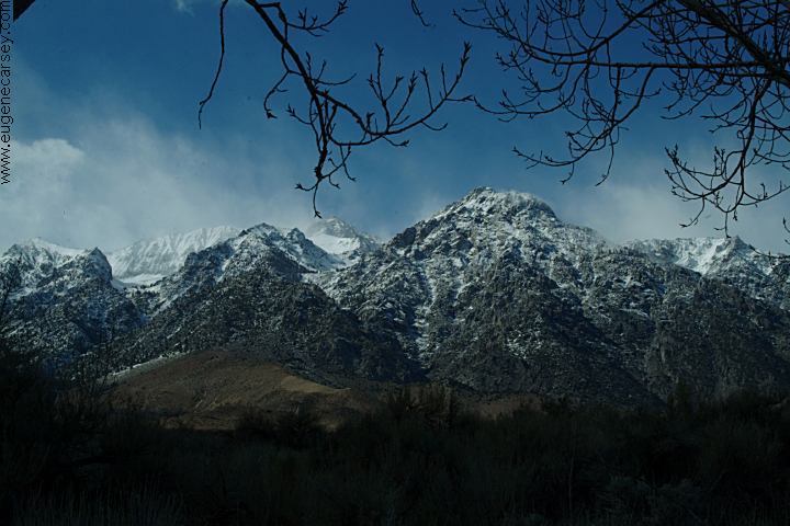
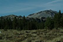
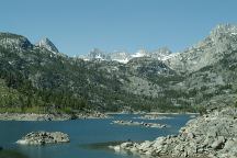
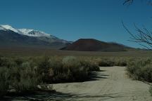
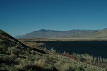
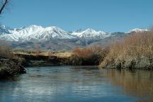
Crowley Lake South View from Hwy.395
CROWLEY
LAKE
Crowley Lake is on BLM Land???,
Surrounded by Inyo National Forest
with several dispersed camping areas.
Near Deadman Campground
DEADMAN CAMPGROUND
Upper and Lower Deadman Campgrounds
Hwy.395
GLASS CREEK CAMPGROUND
Hwy.395
Turn west on Obsidian Dome Road.
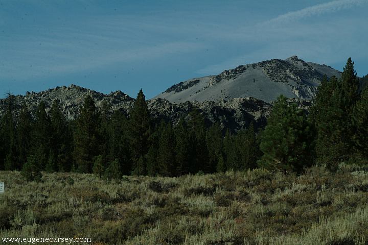
Lava Dome near Hartley Springs Campground
HARTLEY SPRINGS
CAMPGROUND
Hartley Springs Campground is large and
spread out. Picnic tables, metal firerings,
and outhouse.
PINE CREEK ROAD
Primitive campsites along Pine Creek
PV PIT CAMPGROUND
Near Pleasant Valley Campground...
21 Day Camping Limit as a general rule.
ESTABLISHED CAMPGROUNDS:
These are campgrounds that charge a fee
AERIE CRAG CAMPGROUND
AGNEW MEADOW CAMPGROUND
BIG MEADOW CAMPGROUND
COLD WATER CAMPGROUND
CONVICT LAKE CAMPGROUND
Horseshoe Meadow / Cottonwood Pass
COTTONWOOD PASS WALK-IN C.G.
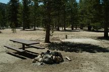
Fee area
Picnic tables, metal firerings, vaulted toilets,
garbage service, water(In season), and bear
proof storage lockers.
EAST FORK CAMPGROUND
FRENCH CAMPGROUND
HOLIDAY CAMPGROUND
IRIS MEADOW CAMPGROUND
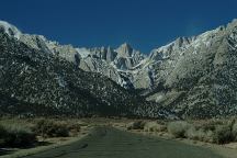
Road towards Lone Pine Campground
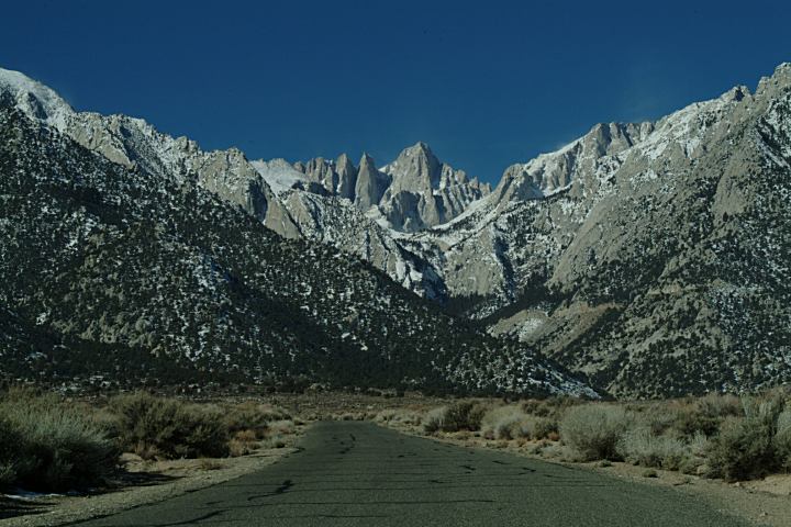
LONE PINE CAMPGROUND
Free during winter months
14 Day Limit
Picnic tables, metal firerings, vaulted toilets,
and garbage service. Bear proof food lockers.
From Lone Pine take Whitney Portal Road...
MCGEE CREEK CAMPGROUND
MINARET FALLS CAMPGROUND
MOSQUITO FLAT CAMPGROUND
Oak Creek Campground
OAK CREEK CAMPGROUND
Free during winter months
14 Day Limit
Picnic tables, metal firerings, vaulted toilets
About 1 1/2 mile north of Independence
Turn towards Mount Whitney Fish Hatchery
NEW SHADY REST CAMPGROUND
OLD SHADY REST CAMPGROUND
PALISADE CAMPGROUND
PINE CITY CAMPGROUND
PINE GROVE CAMPGROUND
PUMICE FLATS CAMPGROUND
REDS MEADOW CAMPGROUND
Showers...
REVERSED CREEK CAMPGROUND
ROCK CREEK LAKE CAMPGROUND
SHERWIN CREEK CAMPGROUND
SILVER LAKE CAMPGROUND
TUFF CAMPGROUND
TWIN LAKES CAMPGROUND
UPPER PINE GROVE CAMPGROUND
UPPER SODA SPRINGS CAMPGROUND
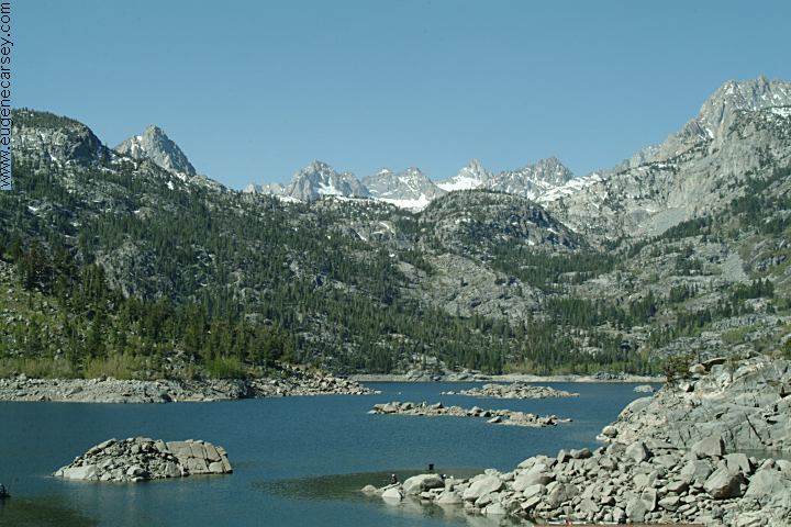
Lake Sabrina
North Lake
INYO COUNTY CAMPGROUNDS
BAKER
CREEK
$10.00 Camping / Free Day Use
West of Big Pine, CA
70 spaces???
BIG PINE TRIANGLE
1/2 mile north from Big Pine, CA
Diaz Lake Campground
DIAZ LAKE CAMPGROUND
$10.00 Camping / Free Day Use
2 1/2 mile south of Lone Pine, CA
Lake is on the west side of Hwy.395
Picnic tables, metal firerings, BBQ grills,
Flush and vaulted toilets, drinking water.
INDEPENDENCE CREEK CAMPGROUND
From Independence turn west on Market Street
1/2 mile turn on Creek Road
campground is about 2 1/2 miles
25 spaces

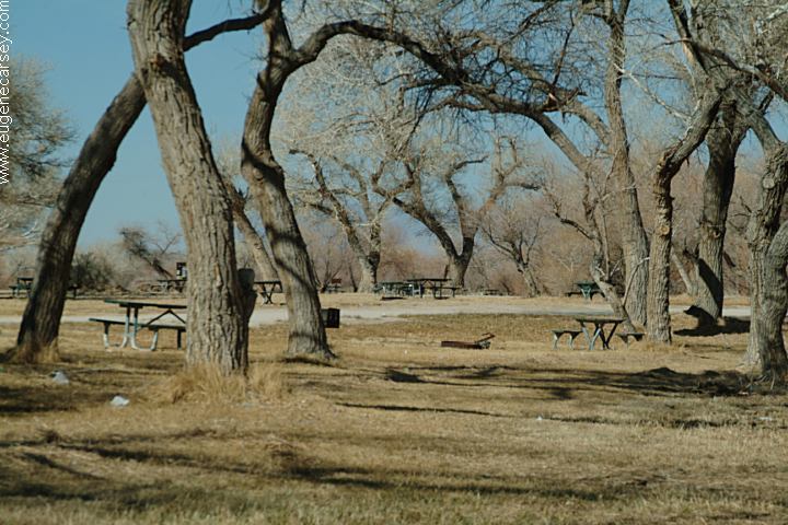
Owens River flowing through Pleasant Valley
PLEASANT VALLEY CAMPGROUND
Inyo County Campground
$10 Overnight Camping
Free Day Use Area
Picnic tables, metal firerings, BBQ grills,
vaulted toilets, and drinking water.
Campground is on both sides of the
Owens River. 260 spaces
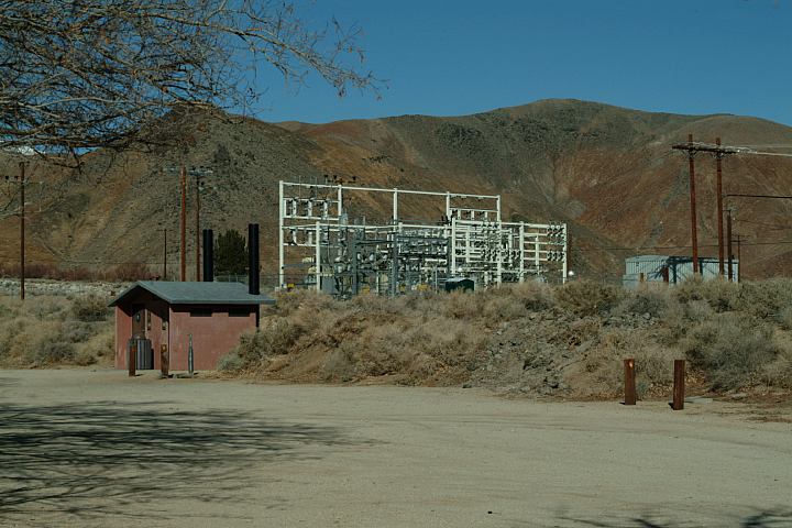
Portagee Joe Campground
N 36°36.001
W 118°04.295
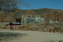
PORTAGE JOE CAMPGROUND
Inyo County Campground
$10 Overnight Camping
Free Day Use Area
Picnic tables, metal firerings, BBQ grills,
vaulted toilets, garbage, and drinking water.
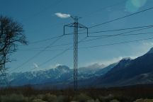
Next to a power substation and high voltage
power lines.
Taboose Campground
Taboose Campground
Taboose Campground
TABOOSE CREEK CAMPGROUND
$10.00 Campground Fee
14 1/2 miles north of Independence, CA
Turn west on Toboose Creek Road
Campground about 2 1/2 miles
Picnic tables, metal firerings, BBQ grills,
vaulted toilets. Steam and well water.
55 spaces
Campground is surrounded by Lava Fields
High voltage power lines through campground.
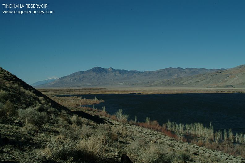
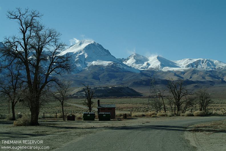
Tinnemaha Reservoir
Tinnemaha Campground
TINNEMAHA CAMPGROUND
$10.00 Campground Fee
19 1/2 mile north of Independence, CA
Turn west on Fish Springs Road
1/2 mile turn on Tinnemaha Road
Campground is about 2 miles
Picnic tables, metal firerings, BBQ grills,
vaulted toilets. Steam and well water.
55 spaces
High voltage power lines through campground.
DEVIL'S POSTPILE NATIONAL MONUMENT
Mandatory shuttle bus ride to Devil's Postpile.
Park at the ski lifts...
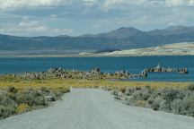
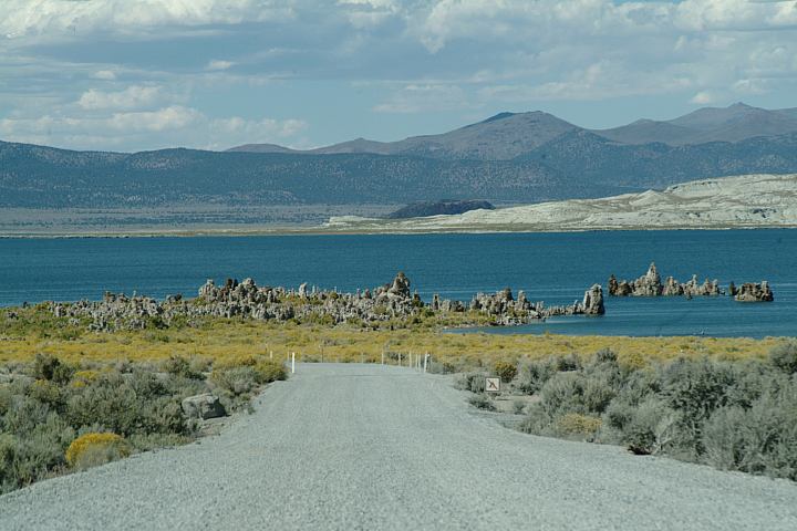
Mono Lake South Tufa
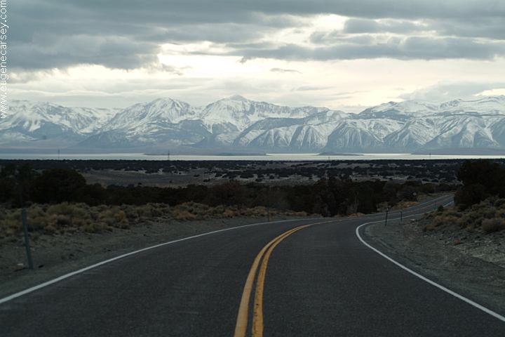
Highway 167
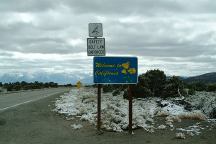
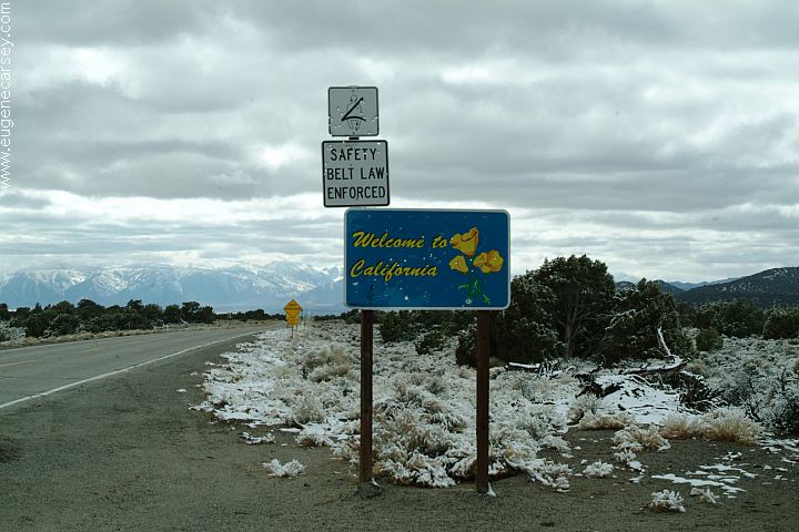
Highway 167 California / Nevada Border
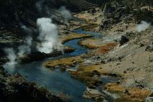
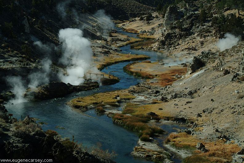
Hot Creek
HOT CREEK GEOLOGICAL SITE
Hot Springs and scenic area....
On Road#3S45. From Hwy.395 north
of Mammoth Airport, turn on Hot Creek
Road towards Hot Creek Fish Hatchery.
EARTHQUAKE FAULT
Interesting... there was still snow at the
bottom of the fault.
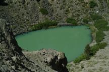
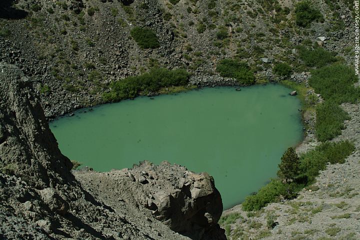
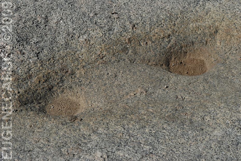
Inyo Craters
Inyo Craters
INYO CRATERS
Road#3S22
Both craters have lakes at the bottom.
1/4 mile walk, with moderate upgrades.
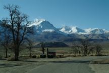
Sierra Nevada Mountains
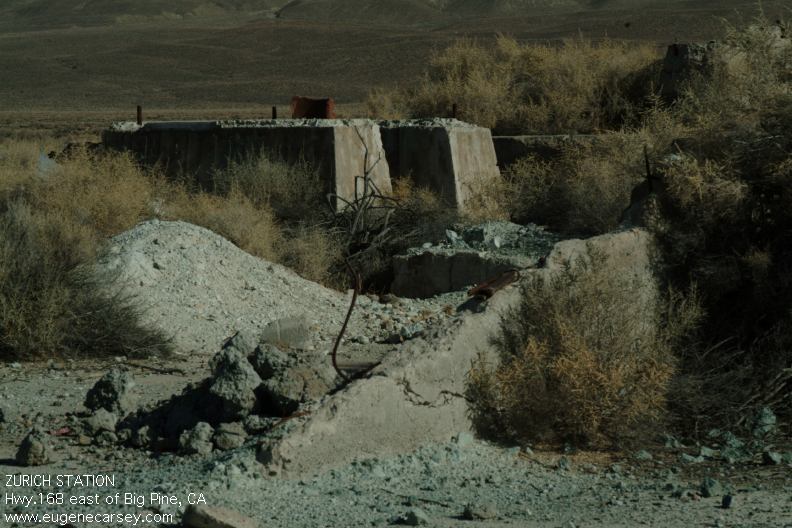
Zurich Station
Hwy.168 about 2 miles east of Big Pine, CA
N 37°11.023
W 118°15.708
Elevation: 3912'
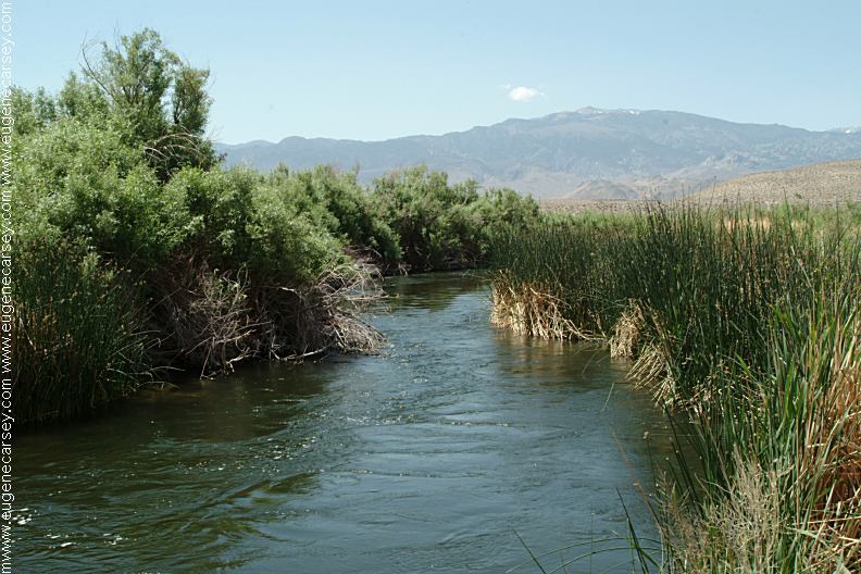
Owens River from Hwy.168
(About a mile east of Big Pine)
N 37°10.708
W 118°15.946
Elevation: 3905'
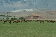
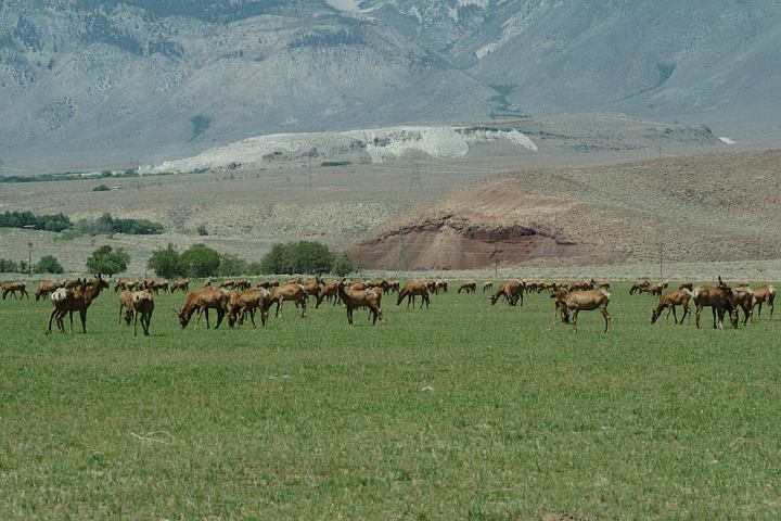
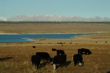
Elk at Wildlife Viewing Area on Hwy.395
Between Big Pine and Independence, CA
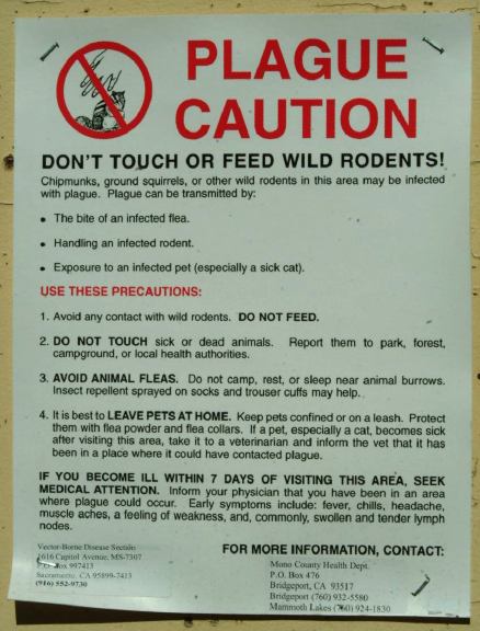
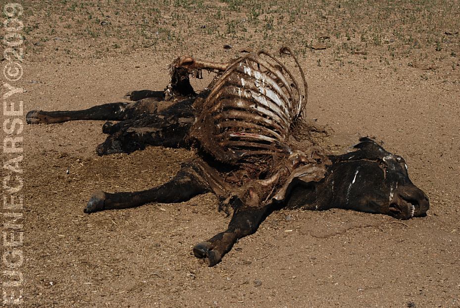
BEAR FACTS
This is bear country.
RATTLESNAKE
FACTS
Rattlesnakes are common sights.
|