|
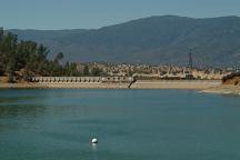
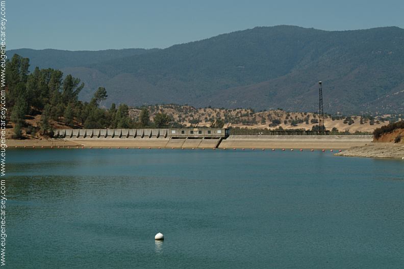
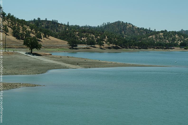
Stony Gorge Dam
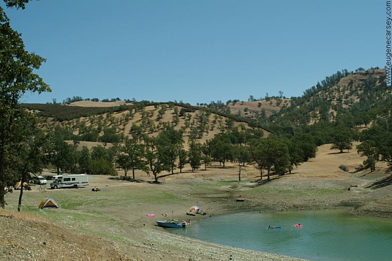
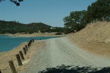
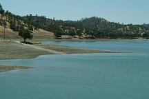
There are several established campgrounds
along the shores of Stony Gorge Reservoir.
Picnic Tables
Primitive Firepits
BBQ Grills (Skippers Boat Ramp)
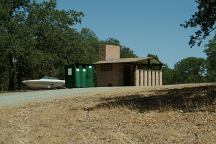
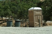
Vaulted Toilets / Portable Toilets
Garbage Bins
Recycle Containers
14 day Camping Limit
Closed in winter season...
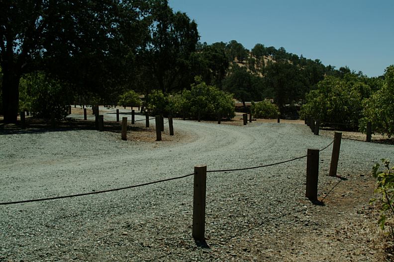
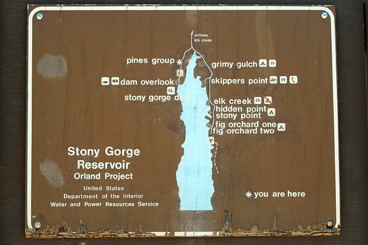
Grimy Gulch Campground
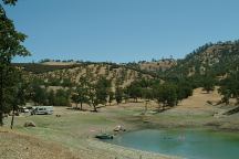
Grimy Gulch Campground
Grimy Gulch Campground

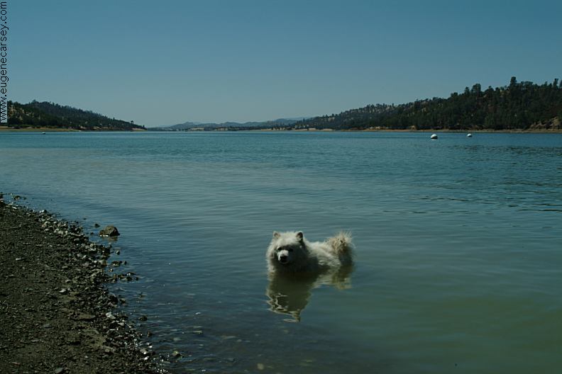
Cookie the Dog
Grimy Gulch Campground
Grimy Gulch Campground
GRIMY GULCH CAMPGROUND
LATITUDE: N 39°35.549
LONGITUDE: W 122°31.608
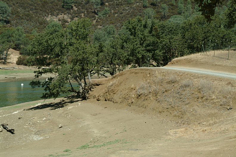
HIDDEN POINT CAMPGROUND
LATITUDE: N 39°34.940
LONGITUDE: W 122°31.340
Small camp...
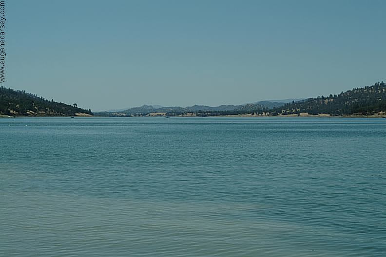
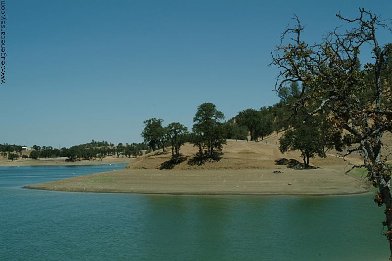
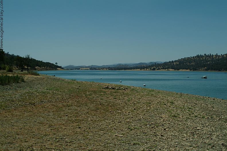
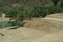
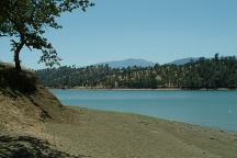
Stony Point Campground
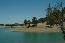
Stony Point Campground
View of Elk Creek Hill
STONY POINT CAMPGROUND
LATITUDE: N 39°
LONGITUDE: W 122°
Small camp...
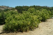
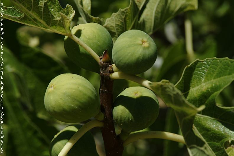
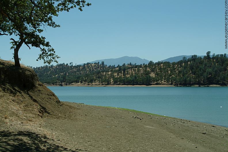
Fig Orchard Campground

Fig Orchard Campground
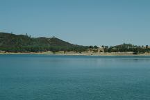
Fig Orchard Campground
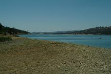
Fig Orchard Campground

Fig Orchard Campground
FIG ORCHARD CAMPGROUNDS
LATITUDE: N 39°34.816
LONGITUDE: W 122°31.489
There are two separate campgrounds.
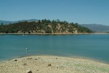
Elk Creek Campground
Elk Creek Campground
Elk Creek Campground
ELK CREEK HILL
LATITUDE: N 39°34.994
LONGITUDE: W 122°31.423

Pine Group Camp and Day Use Area
PINES GROUP CAMP
LATITUDE: N 39°xx
LONGITUDE: W 122°xx
PINES DAY USE AREA
LATITUDE: N 39°35.608
LONGITUDE: W 122°31.749
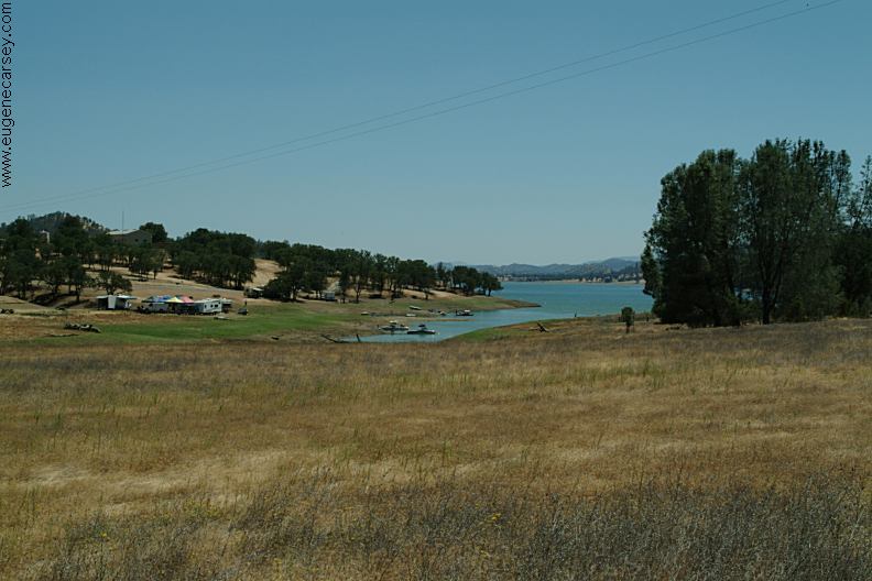
Skippers Boat Ramp Day Use Area
SKIPPERS BOAT RAMP
LATITUDE: N 39°35.232
LONGITUDE: W 122°31.542
Day Use Area
IT IS YOUR RESPONSIBILITY TO
KNOW
WHAT FIRE RESTRICTIONS ARE IN EFFECT
RATTLESNAKE
FACTS
There are signs warning of rattlesnakes...
Weekends and holidays can be crowded.
|