|
Highway 191
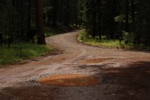
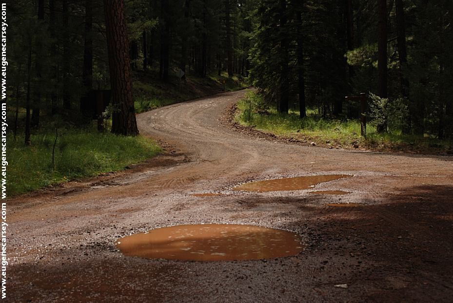
Road 276 North from East Fork Campground
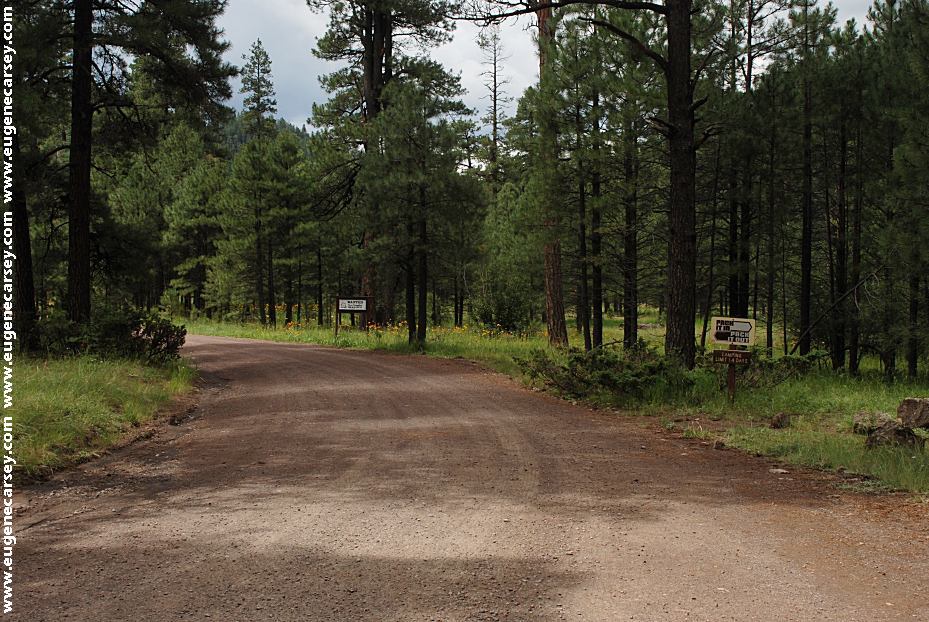
Road 276 South from East Fork Campground
DIRECTIONS:
From Alpine, AZ
Hwy.180 north a couple miles
Turn on Road#249 for 5 miles
Left on Road#276
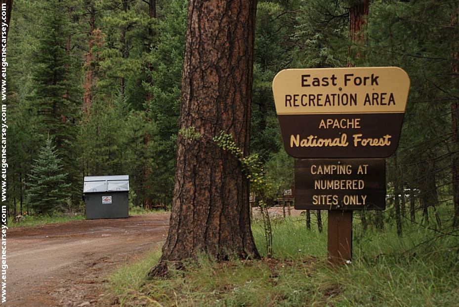
East Fork Black River is 6 miles
(There are signs marking the direction)
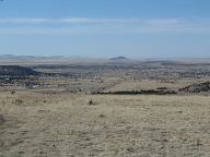
Eager, Arizona
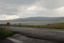
Big Lake Recreation Area
LATITUDE: N 33°52.834
LONGITUDE: W 109°24.357
From Eager, AZ
Hwy.260 west for 3 miles
Turn towards Big Lake....
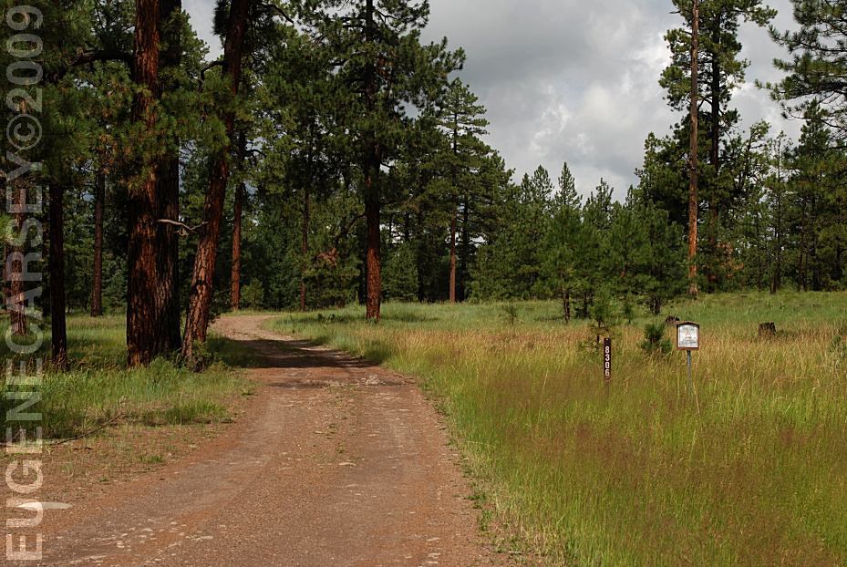
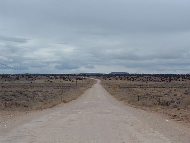
ROAD CONDITIONS:
Rough Dirt Roads
Mountain grades and curves
RVs Not Recommended
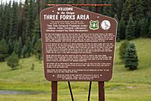
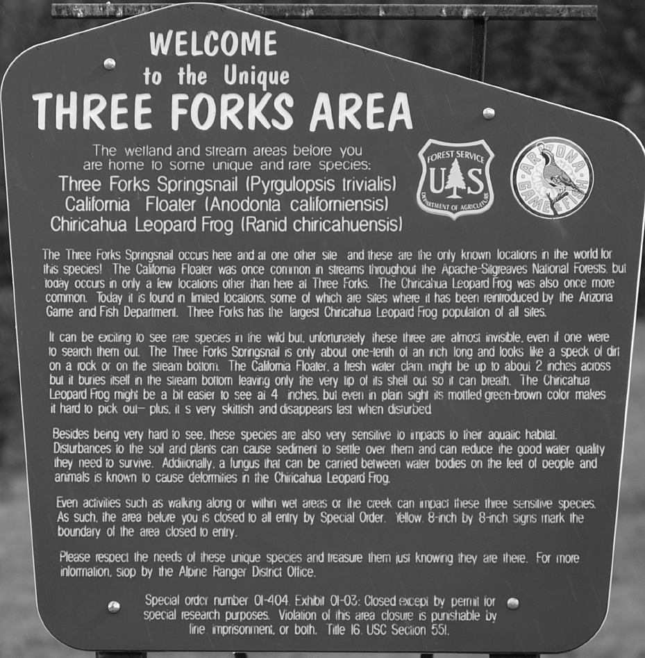
Three Forks Area
LATITUDE: N 33°51.268
LONGITUDE: W 109°18.987
Road 249 / MP 10 - 11
Know the weather forecast and be prepared.
Extreme winter conditions possible...
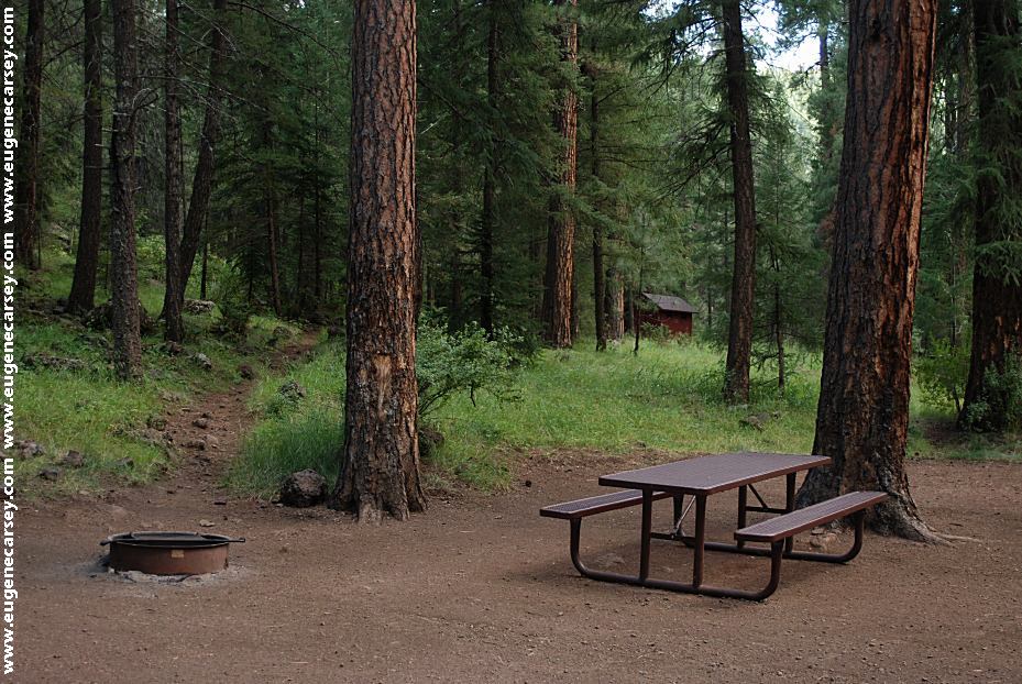
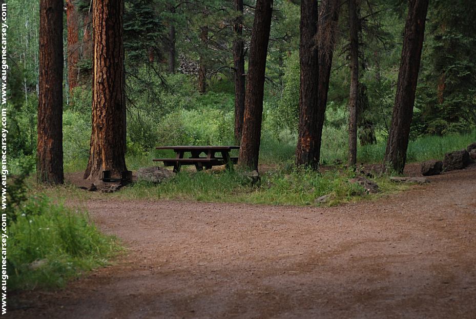
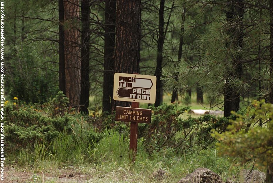
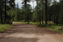
ESTABLISHED CAMPGROUNDS
Established campgrounds in Apache NF
(These are free campgrounds)
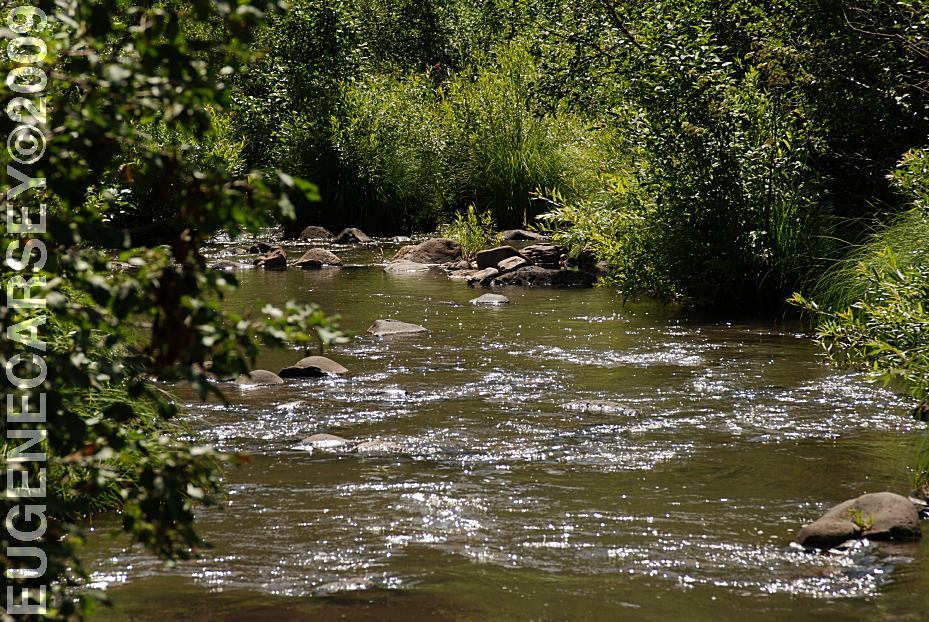
EAST FORK BLACK
RIVER
GRANVILLE
CAMPGROUND
HANNAGEN MEADOW
JUAN MILLER
CAMPGROUND
KP CIENGA CAMPGROUND
PUEBLO PARK
CAMPGROUND
STRAYHORSE
CAMPGROUND
UNKNOWN CAMPGROUND
UPPER BLUE
CAMPGROUND

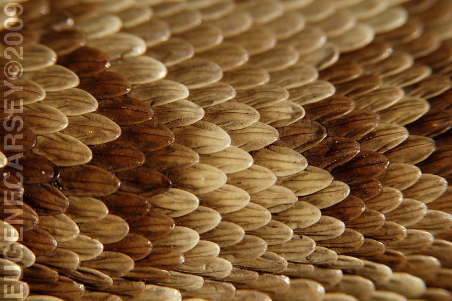
Rattlesnake Skin
RATTLESNAKE
FACTS
We have seen several rattlesnakes in the area.
Mostly they were crossing the road and didn't
pose a threat.
BEAR FACTS
PHOTO HERE
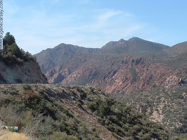
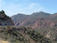
Blue Vista on Hwy.191
LATITUDE: N 33°33.889
LONGITUDE: W 109°21.210
The mountain views are a replica of the Great
Smokey Mountains and Blue Ridge Parkway
Feels like you could be standing in Tennessee.
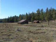
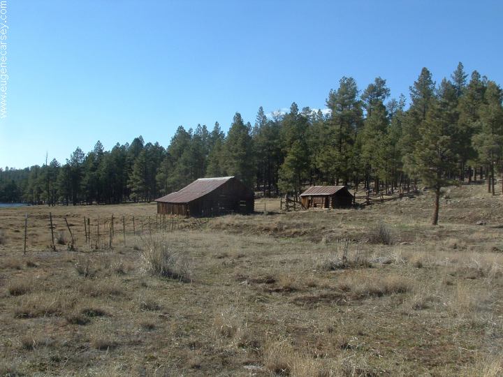
Beaverhead Ranch
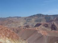
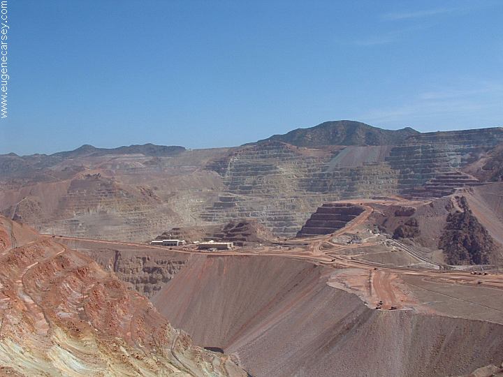
Morenci Mine
The World's largest cooper mine???
|