|
|


|
Free campgrounds and camping |
Picnic Tables There is a registration sheet... the last
Pueblo Park Campground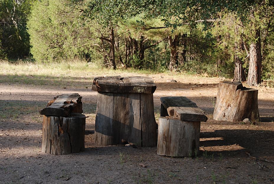
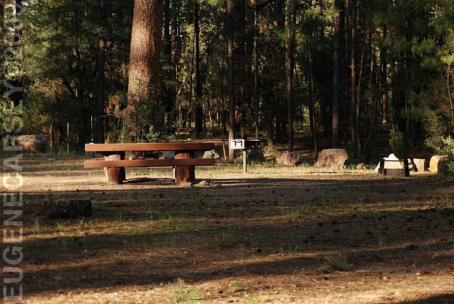
Picnic Table
Metal Firerings
Vaulted Toilets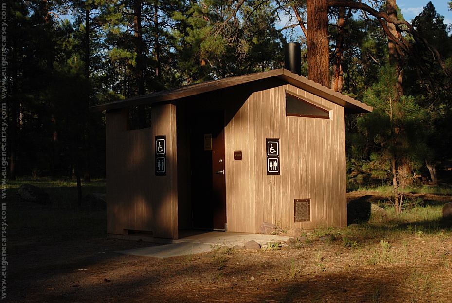
Vaulted Toilets at Pueblo Park Campground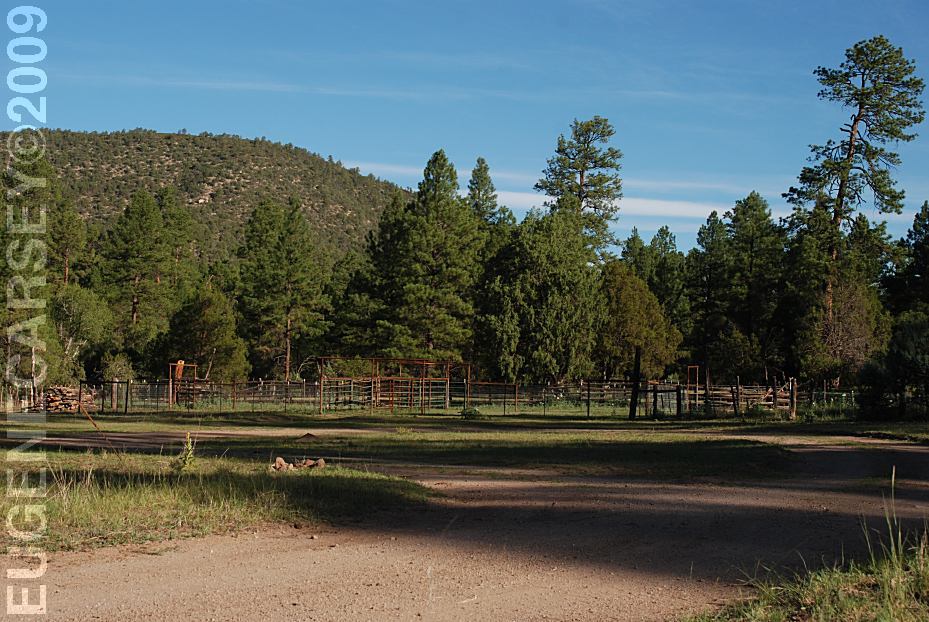
Corrals at Pueblo Park Campground
LATITUDE: N 33°35.744
LONGITUDE: W 108°57.766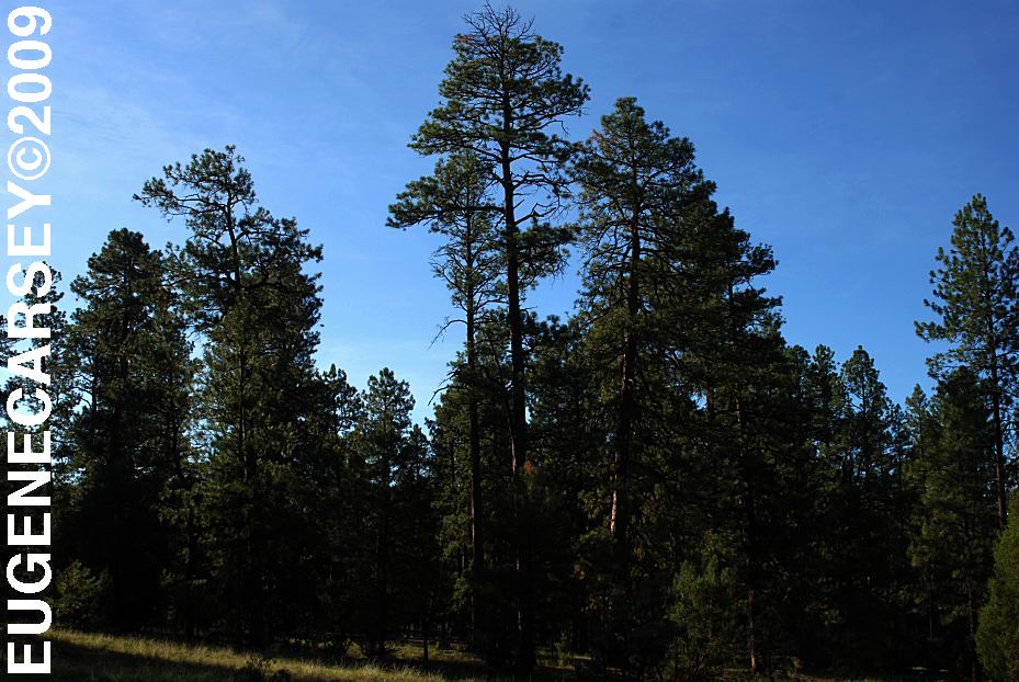
Pueblo Park Campground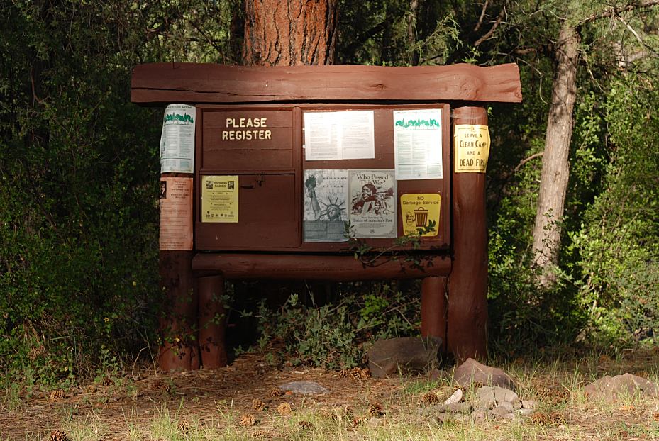
Registration and Information
person to register and leave comments
was from last year. 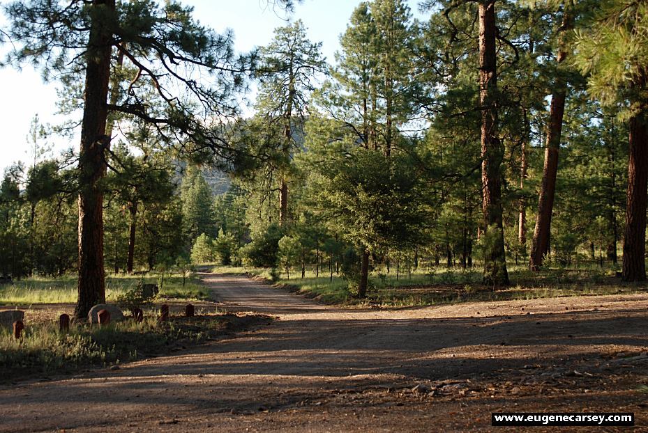
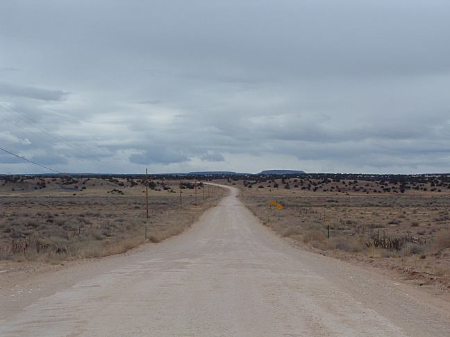
Road at Pueblo Park Campground
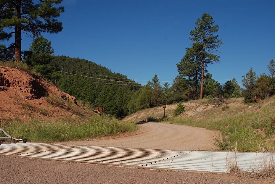
DIRECTIONS: ROAD CONDITIONS: Pueblo Park Road going west towards Arizona Know the weather forecast and be prepared.
ESTABLISHED CAMPGROUNDS RATTLESNAKE
FACTS
County Road 13 towards Pueblo Park
Viewed from the junction of Hwy.180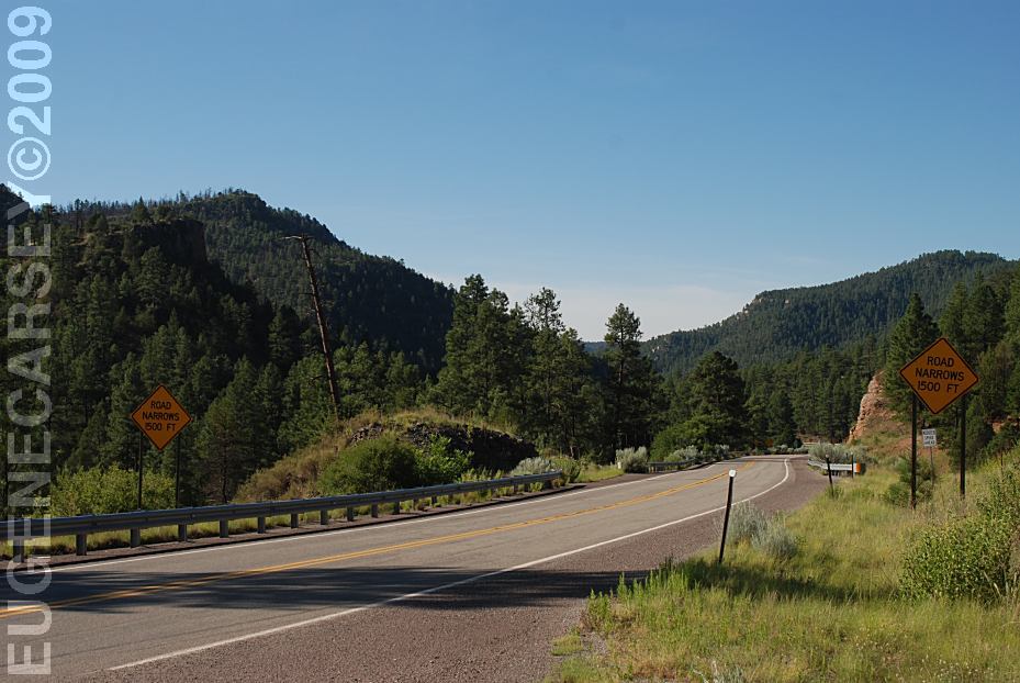
Hwy.180 looking south
Viewed from junction of County Rd 13
From Luna, NM
Hwy.180 East xx miles near MP25
Turn right on County Road 13
Pueblo Park Campground is 6 miles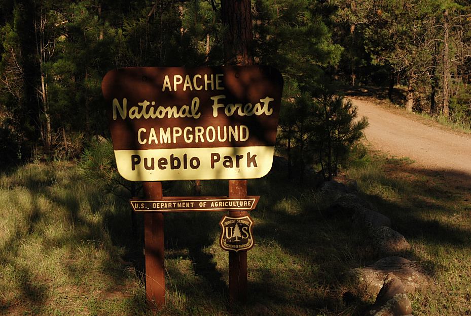
Sign at Pueblo Park Campground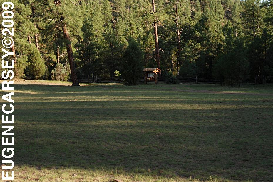
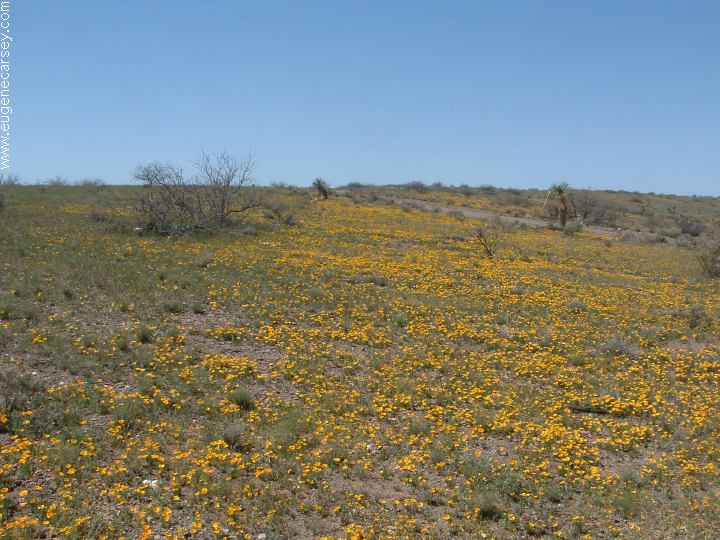
Meadow near Pueblo Park Campground
From NM Hwy.180 towards Pueblo Park
is 6 miles dirt road with some rough areas...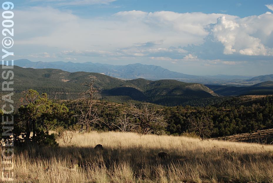
Views from Pueblo Park Road
About 4 miles west from Pueblo Park
and the Blue River is rough and high-clearance
vehicles recommended.
Extreme winter conditions possible...
Established campgrounds in Apache NF
(These are free campgrounds)
EAST FORK BLACK
RIVER
GRANVILLE
CAMPGROUND
HANNAGEN MEADOW
JUAN MILLER
CAMPGROUND
KP CIENGA CAMPGROUND
PUEBLO PARK
CAMPGROUND
STRAYHORSE
CAMPGROUND
UNKNOWN CAMPGROUND
UPPER BLUE
CAMPGROUND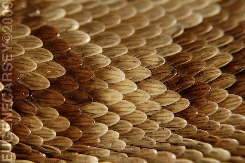
Rattlesnake Skin
We have seen several rattlesnakes in the area.
Mostly they were crossing the road and didn't
pose a threat.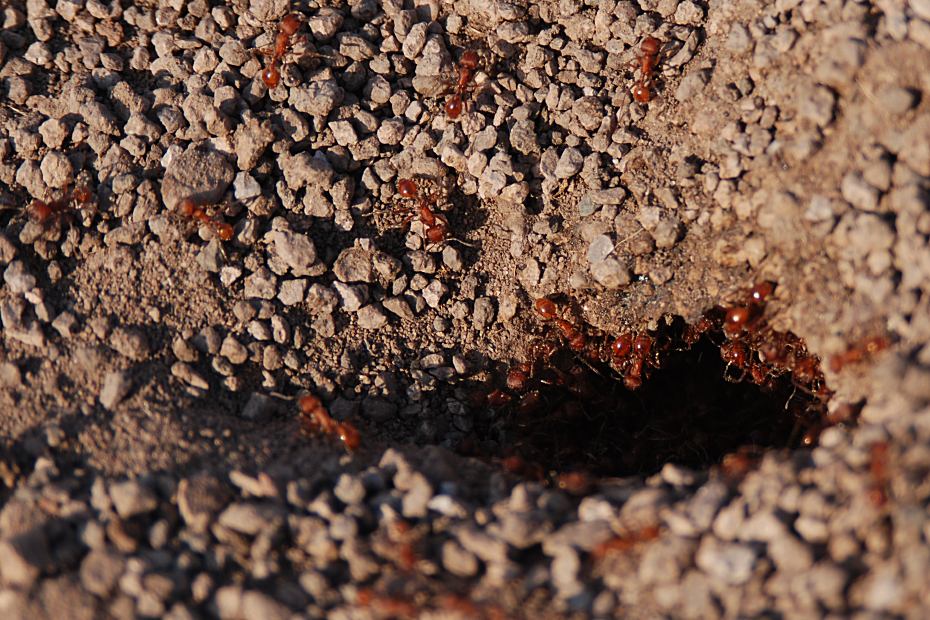 |
|
Red Ants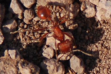
Close-Up of Red Ant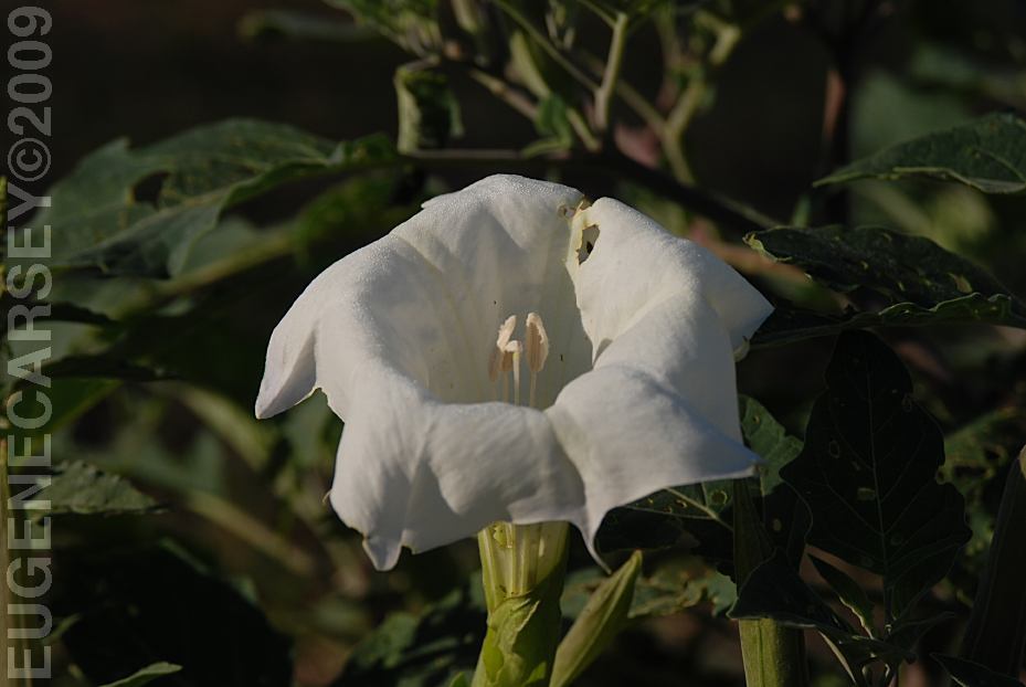
Flowers look great, but really is a weed...
|
PHOTO HERE
PHOTO HERE PHOTO HERE Also see: BISTI WILDERNESS
CAMPGROUND INDEX Campground photos from August 6, 2009 dispersedcampgrounds.comFree campgrounds and camping NEW MEXICO CAMPGROUND DIRECTORY APACHE NATIONAL FOREST PUEBLO PARK CAMPGROUND |