|
|


|
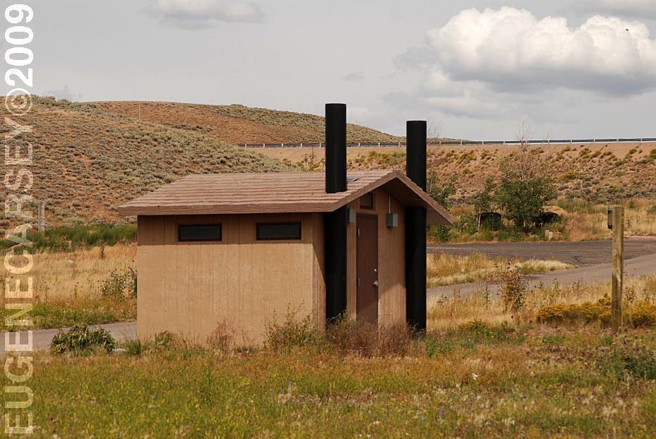
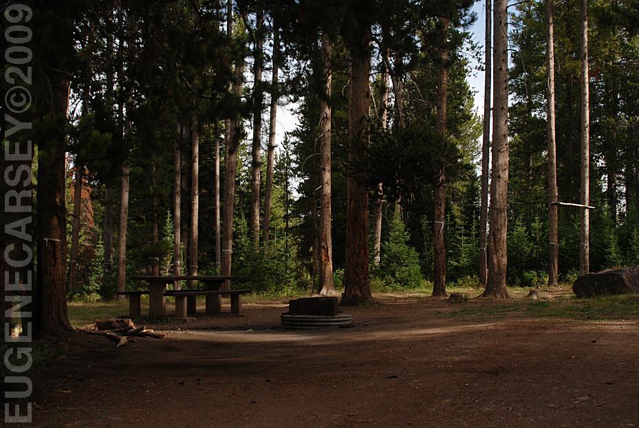
Free campgrounds and camping
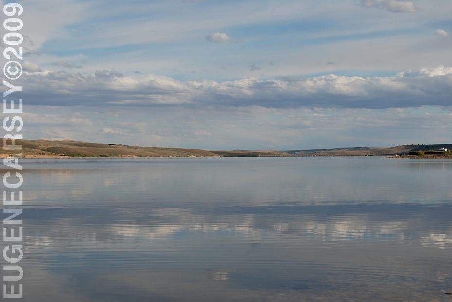
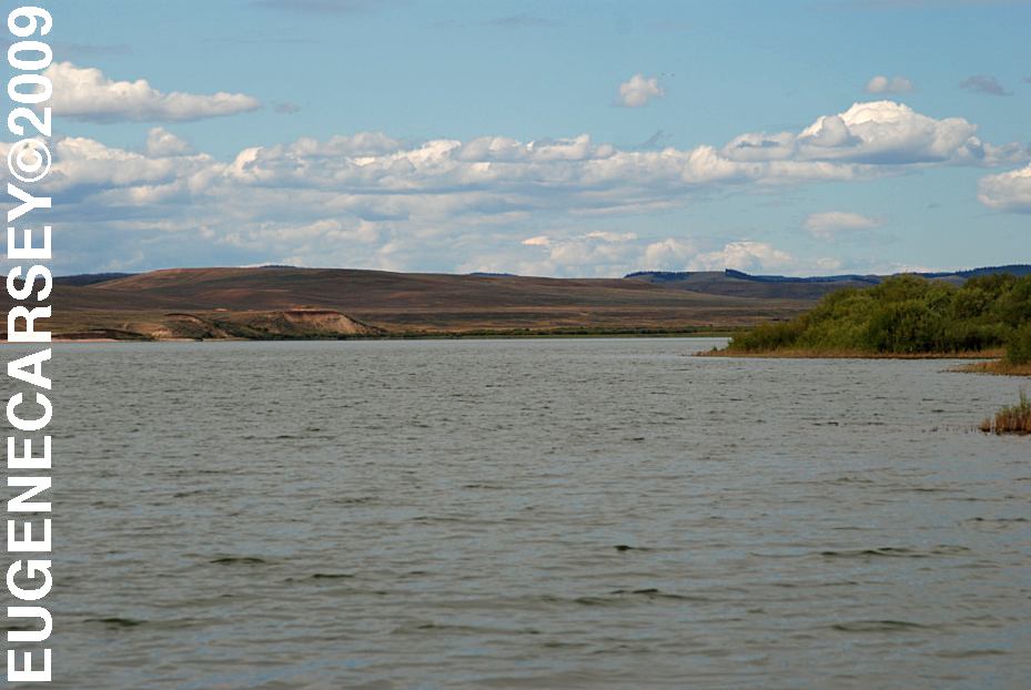
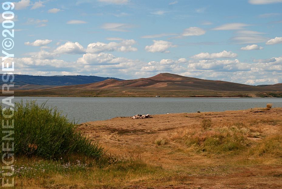
Construction was completed in 1967 |
|
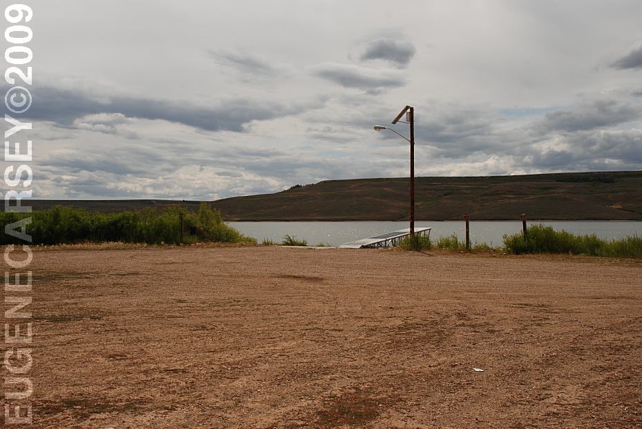
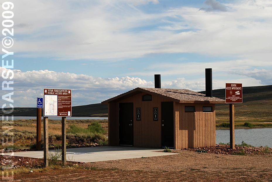
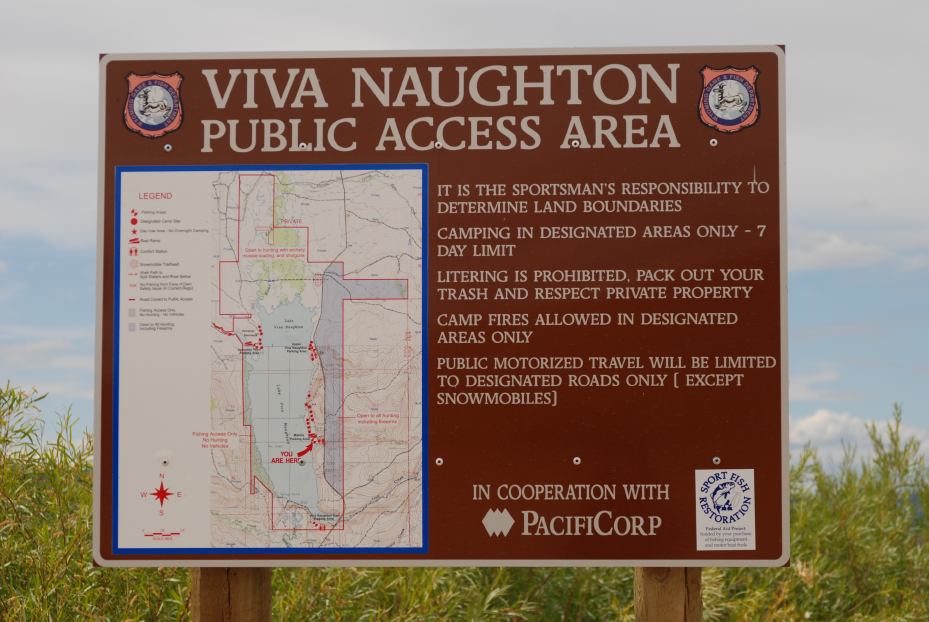
MARINA PARKING AREA |
|
DEMPSEY POINT |
|
UPPER VIVA NAUGHTON PARKING
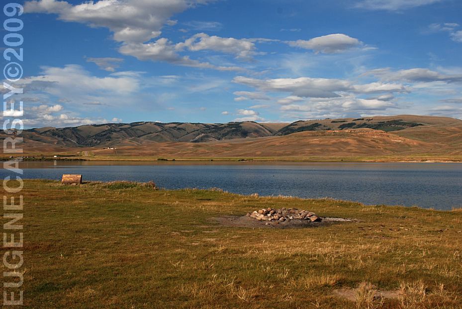
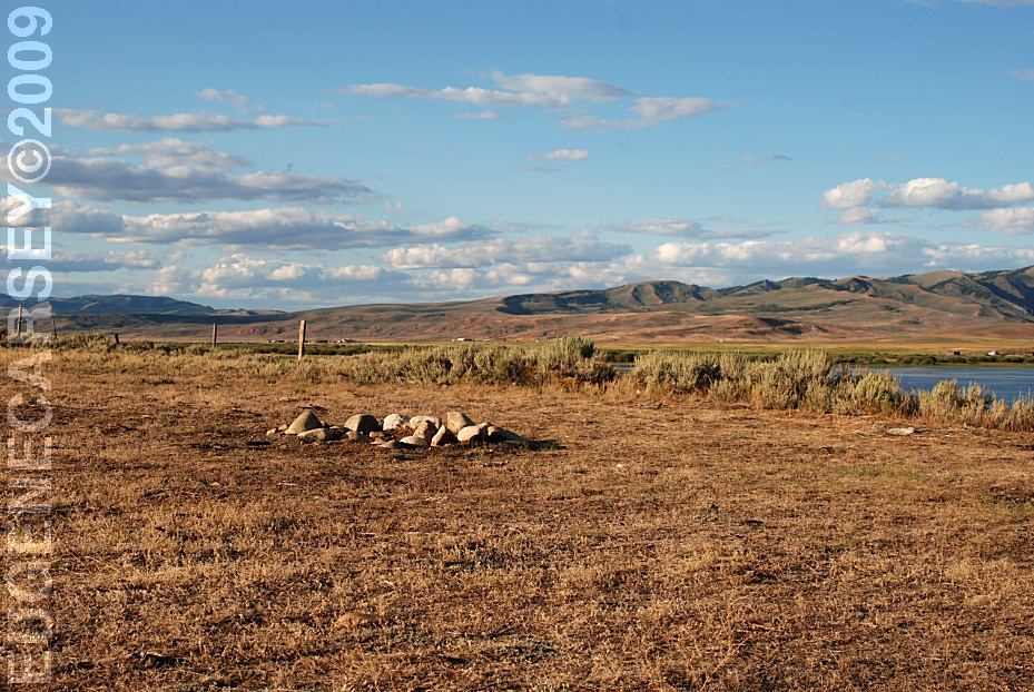
Camping in designated areas only
|
|
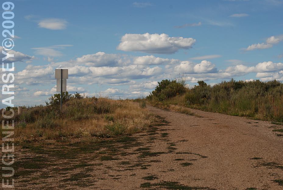
DIRECTIONS:
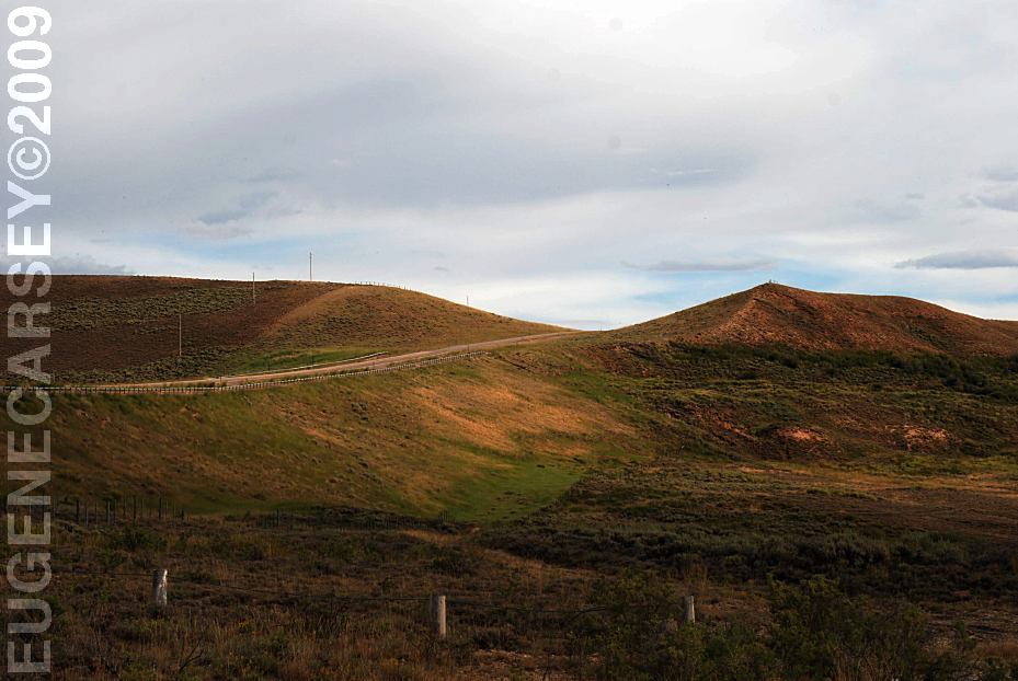
ROAD CONDITIONS: MILEAGE CHART: Lake Viva Naughton 15 Miles From Ham's Fork Campground Hobble Creek Campground Forest Boundary 20 Miles North 7 Miles South
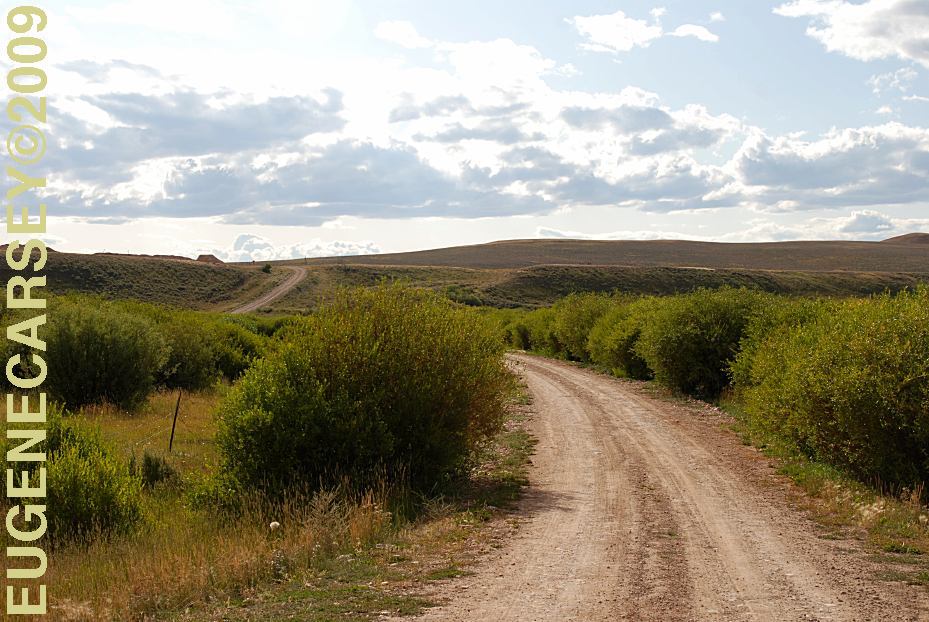
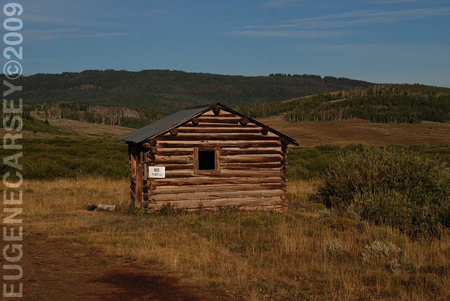
Early in the morning we were driving
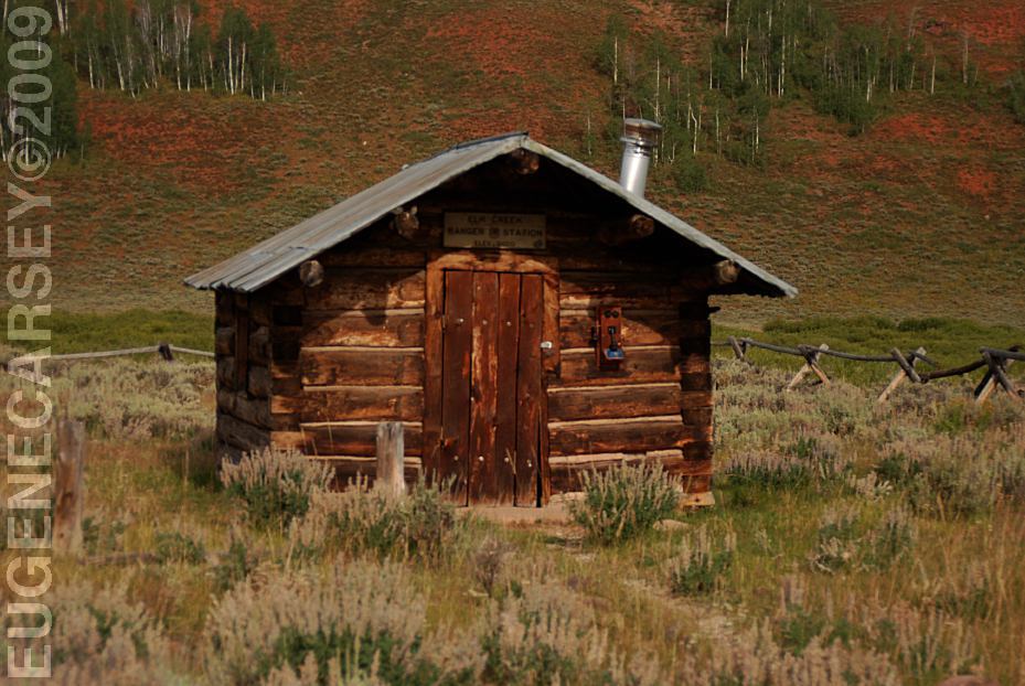
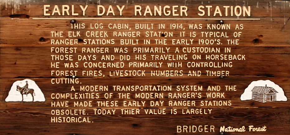
EARLY DAY RANGER STATION
HAM'S FORK CAMPGROUND
|
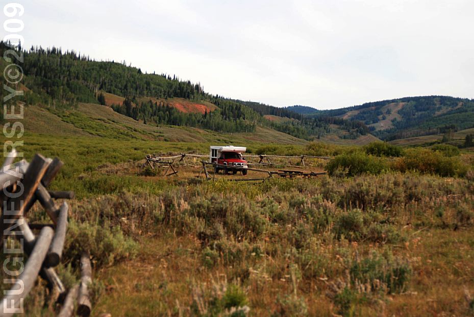
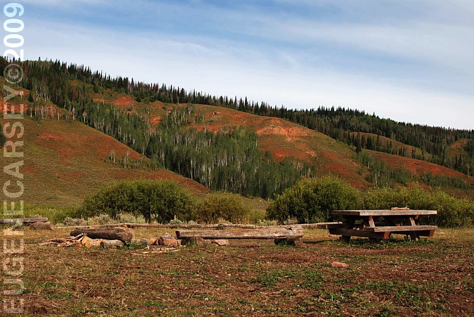
Also see: ALPINE LOOP ROAD CAMPGROUND INDEX Camped here August 17, 2009 dispersedcampgrounds.com
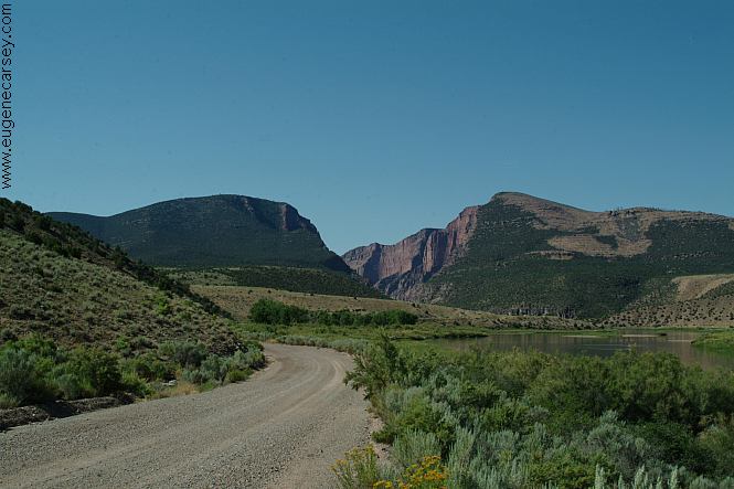
Road towards Gates Of Lodore
Also see: CIMARRON
Also see: GATES
OF LODORE
Also see: GRAND
MESA
Also see: OWL
CREEK
Also see: PASS
CREEK
Also see: PINE CREEK SKI AREA
Also see: SOUTH
MINERAL CREEK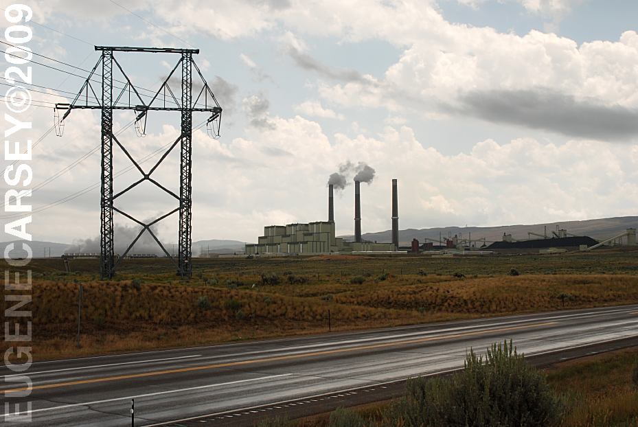
Craig Station on Hwy.550
(A couple miles south from Craig, CO)
The Craig Station burns about 5 million tons of coal annually
and produces enough electricity to meet power requirements
for 1.25 million residential customers. The cost to build Craig
Station was approximately 1.2 billion dollars.
Complete free campground listing
Free campgrounds and camping
WYOMING CAMPGROUND DIRECTORY
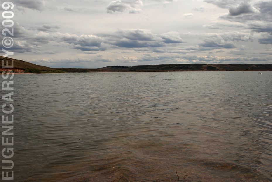
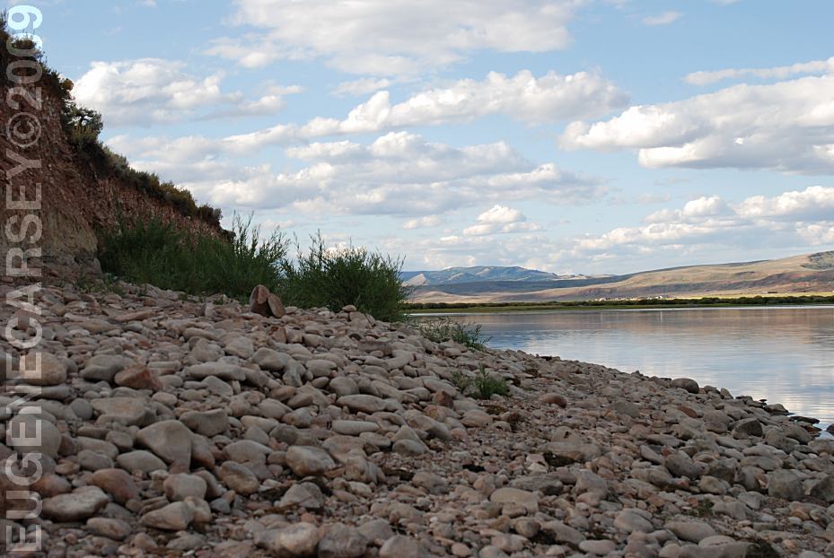
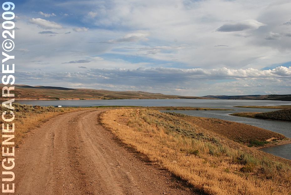
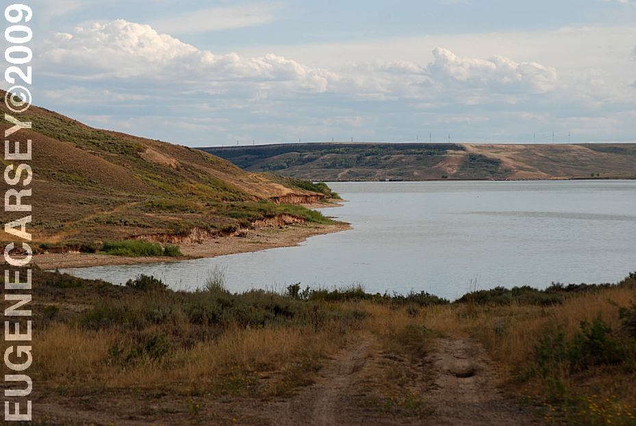
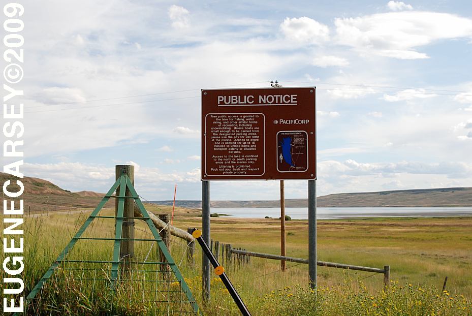
LAKE VIVA NAUGHTON
