|
|


|
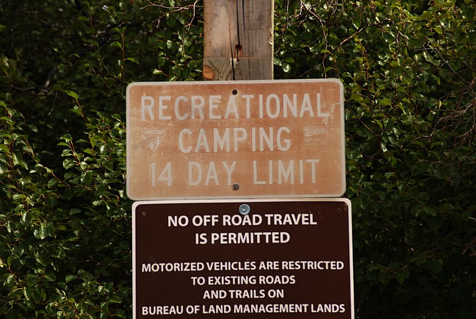
Free campgrounds and camping
|
|
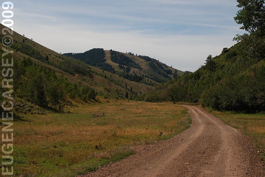
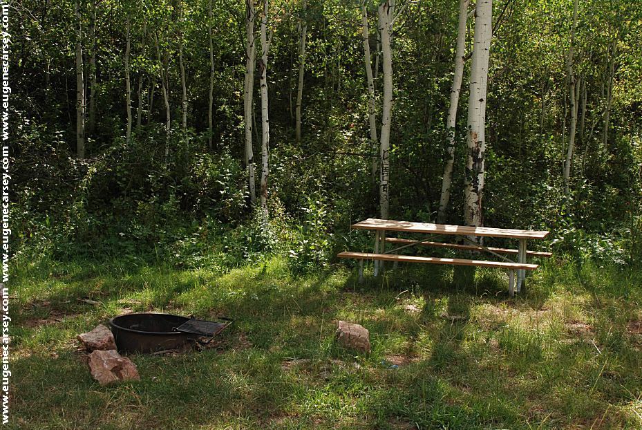
Dispersed camp areas with picnic tables
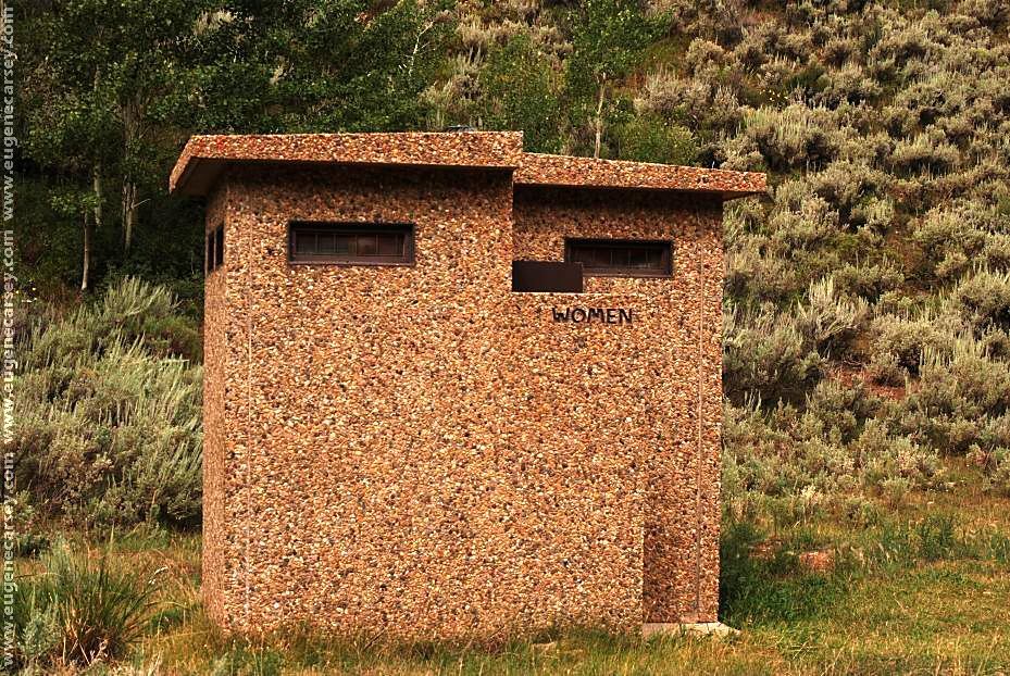
Picnic Tables
|
|
DIRECTIONS: From Kammerer, WY
ROAD CONDITIONS:
EARLY DAY RANGER STATION
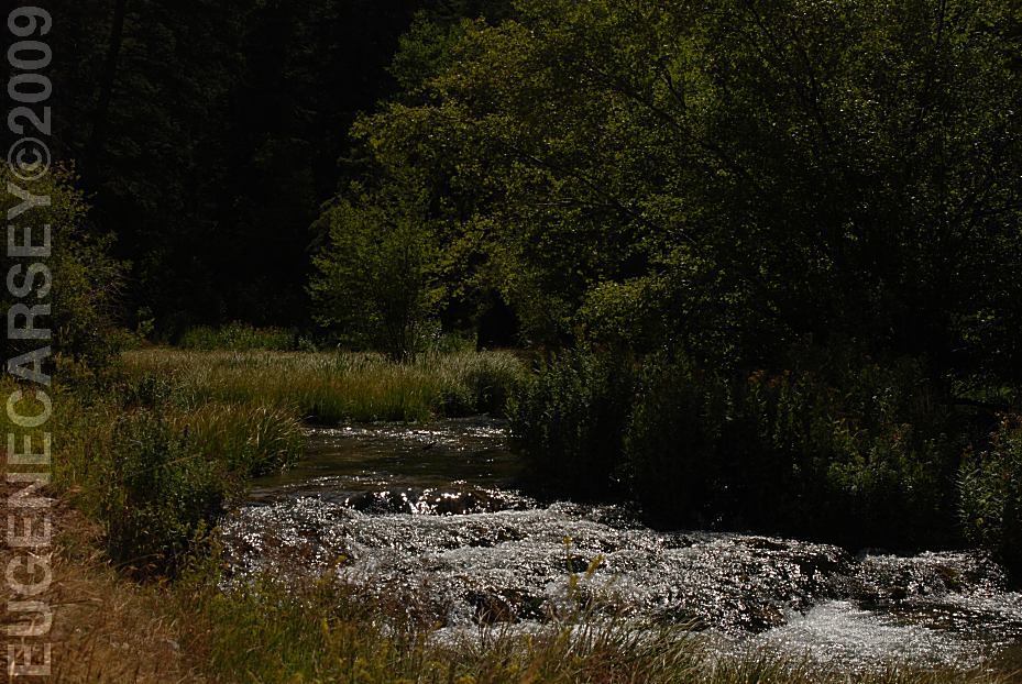
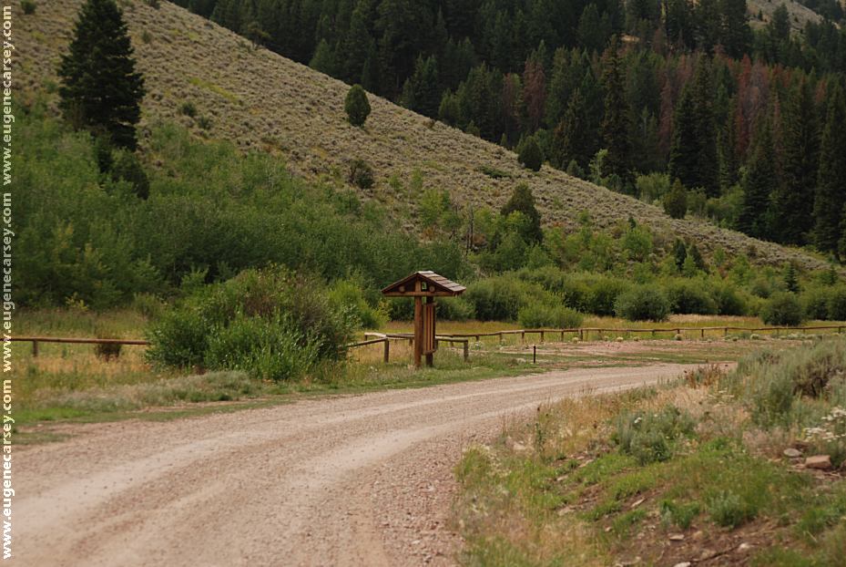
HAM'S FORK CAMPGROUND
|
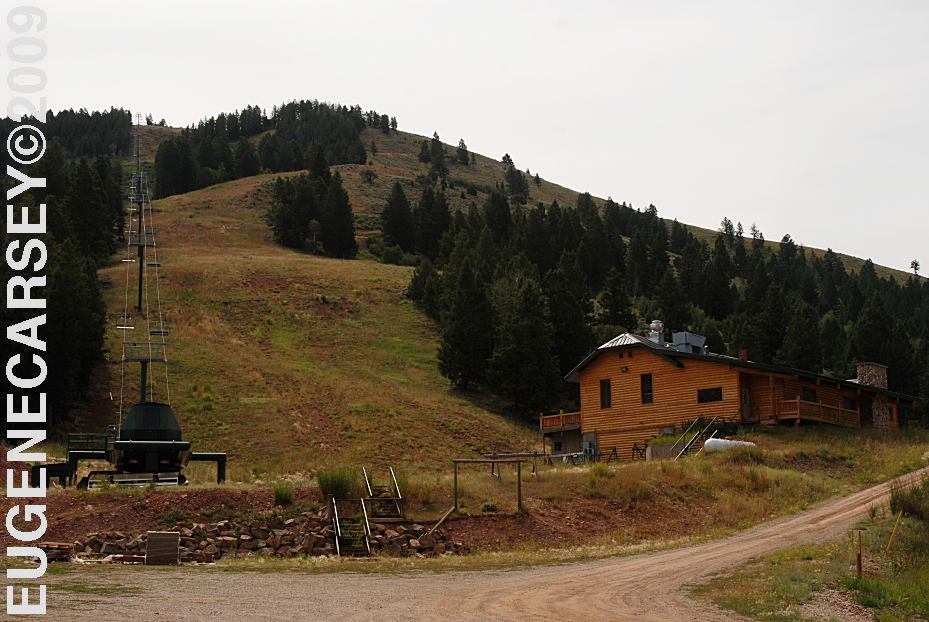
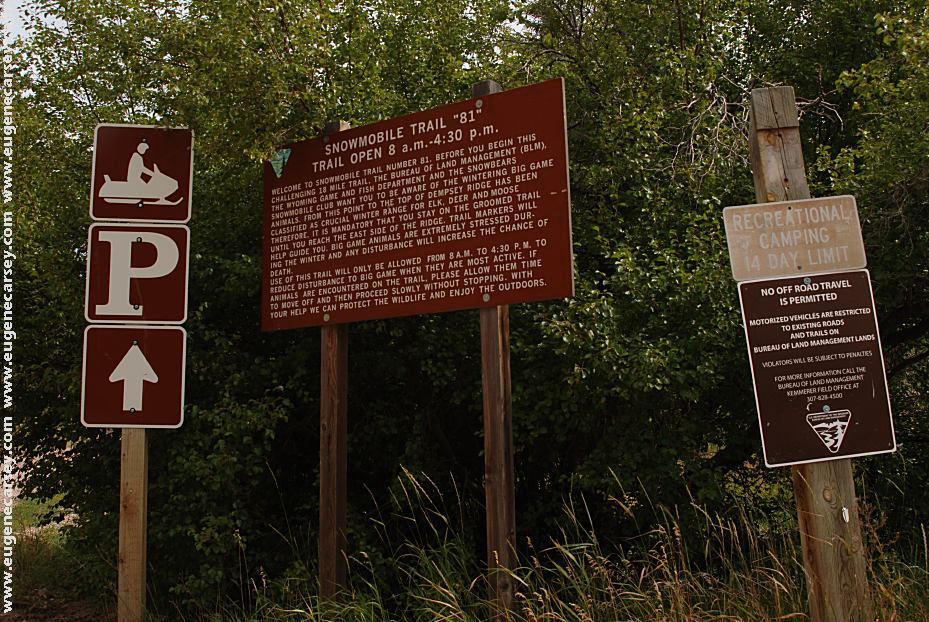
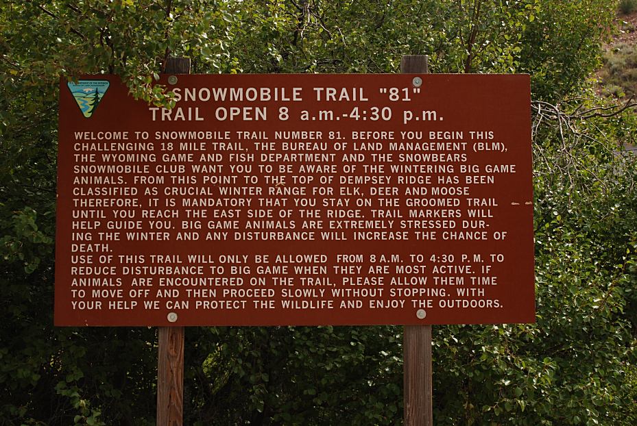
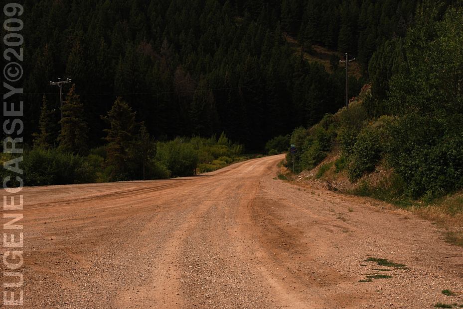
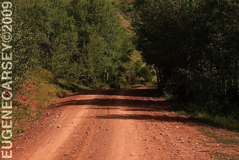
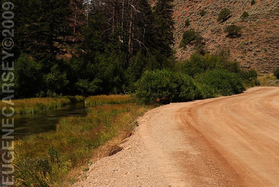
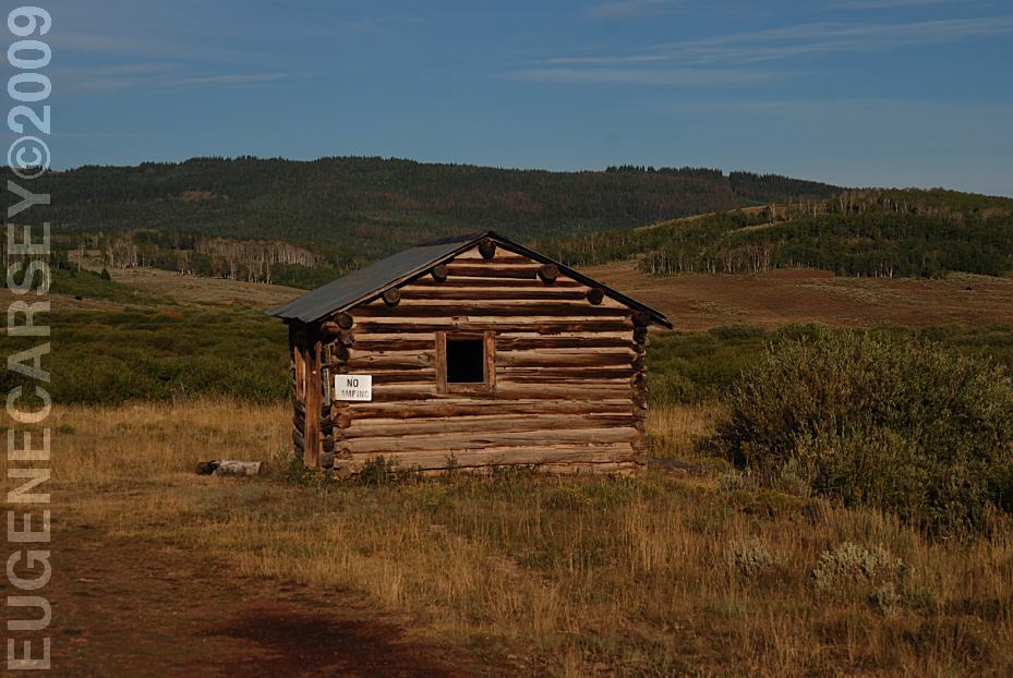
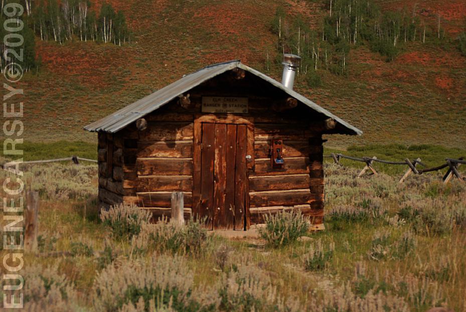
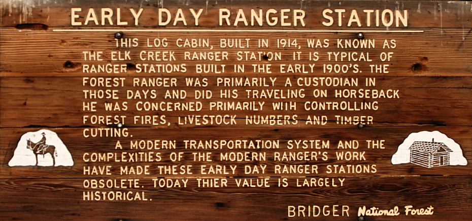
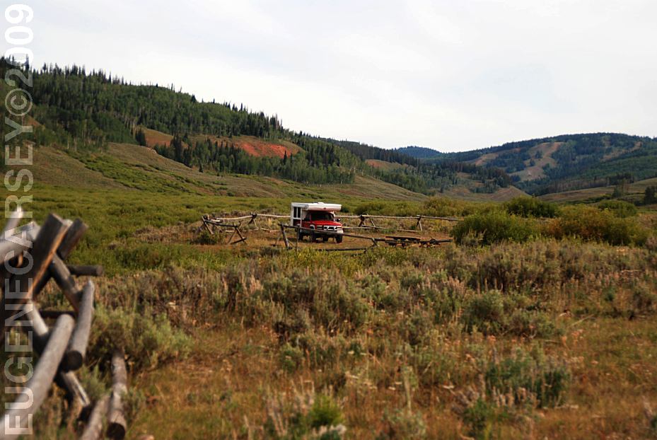
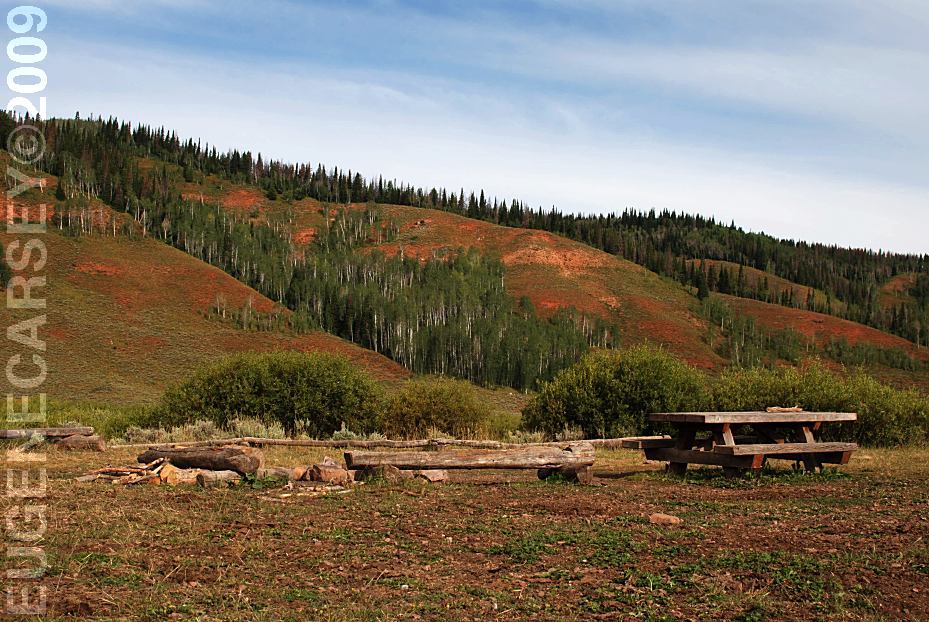
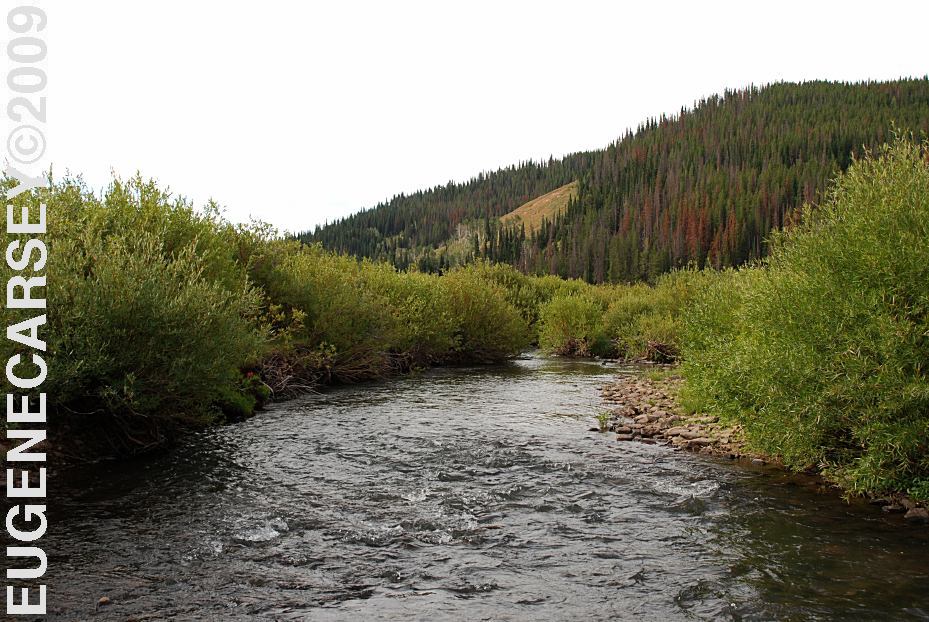
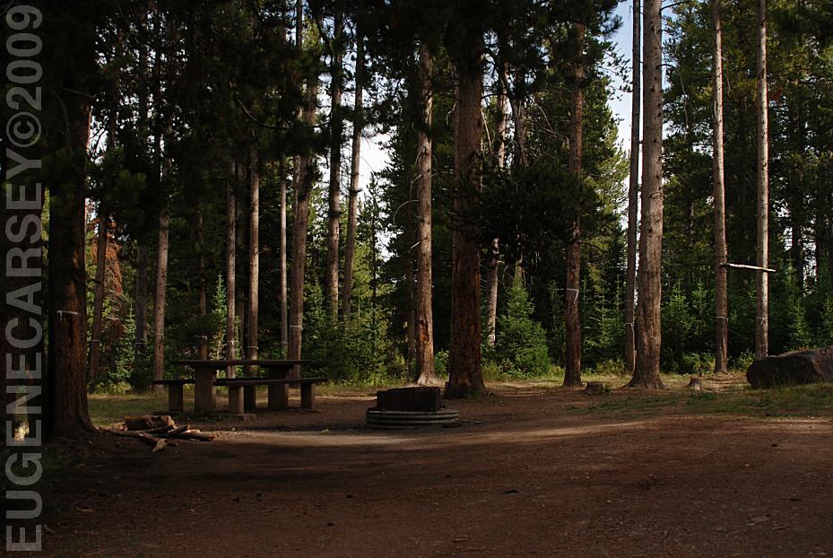
PHOTO HERE SOUTH
MINERAL CREEK ALPINE
LOOP ROAD OWL CREEK
PASS CIMARRON
FORKS LAKE
VIVA NAUGHTON Also see: ALPINE LOOP ROAD CAMPGROUND INDEX Photos from August 18, 2009 dispersedcampgrounds.com
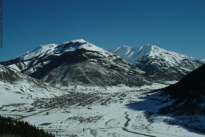
Silverton, Colorado (January 2005)
Black Canyon of the Gunnison National Park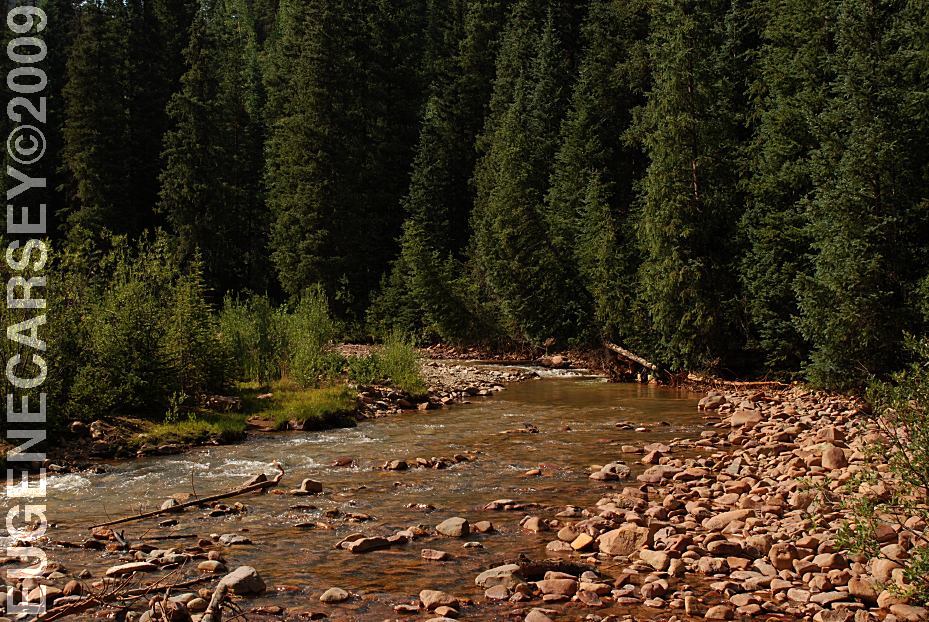
South Mineral Creek
LATITUDE: N 37°49.189
LONGITUDE: W 107°42.854
Highway 550 North from Silverton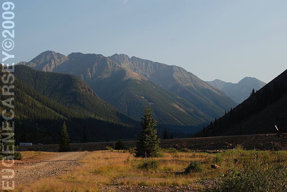
View from Eureka
Alpine Loop Road east from Silverton, CO.
LATITUDE: N 37°52.803
LONGITUDE: W 107°33.885
Elevations Above 10,000'
(GPS from Eureka Historic Site)
Dispersed camping and rugged mountain views.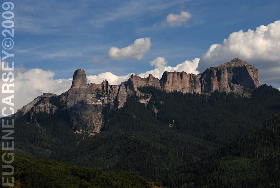
Vista Point on Road 8 towards Owl Creek Pass
LATITUDE: N 38°09.901
LONGITUDE: W 107°33.743
Owl Creek Pass is north from Silverton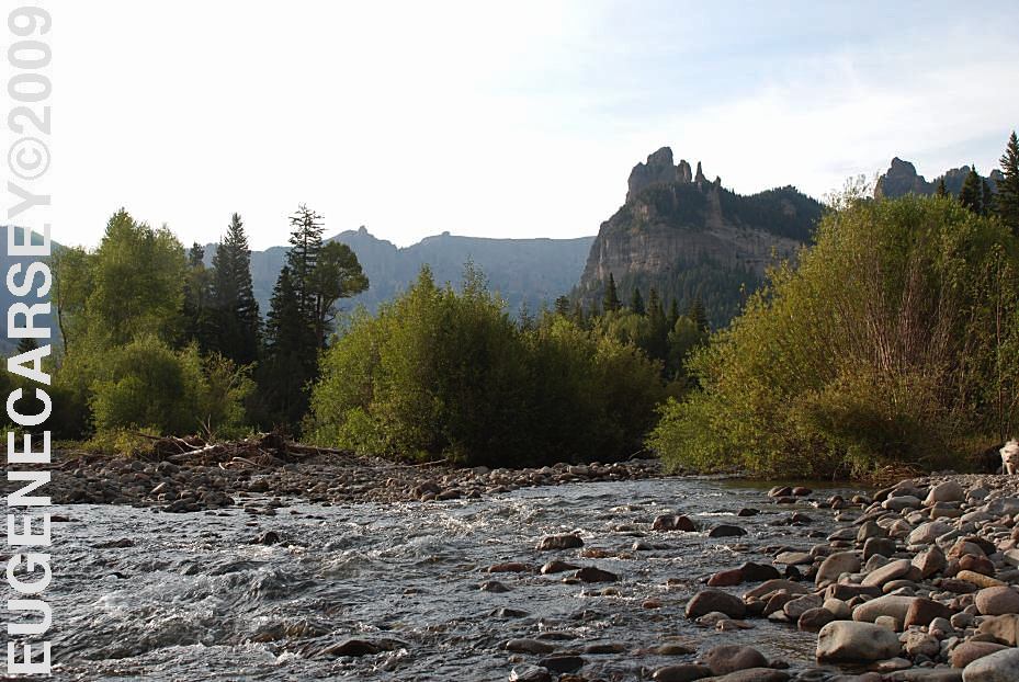
xx River
Cimarron Forks
East from Owl Creek Pass...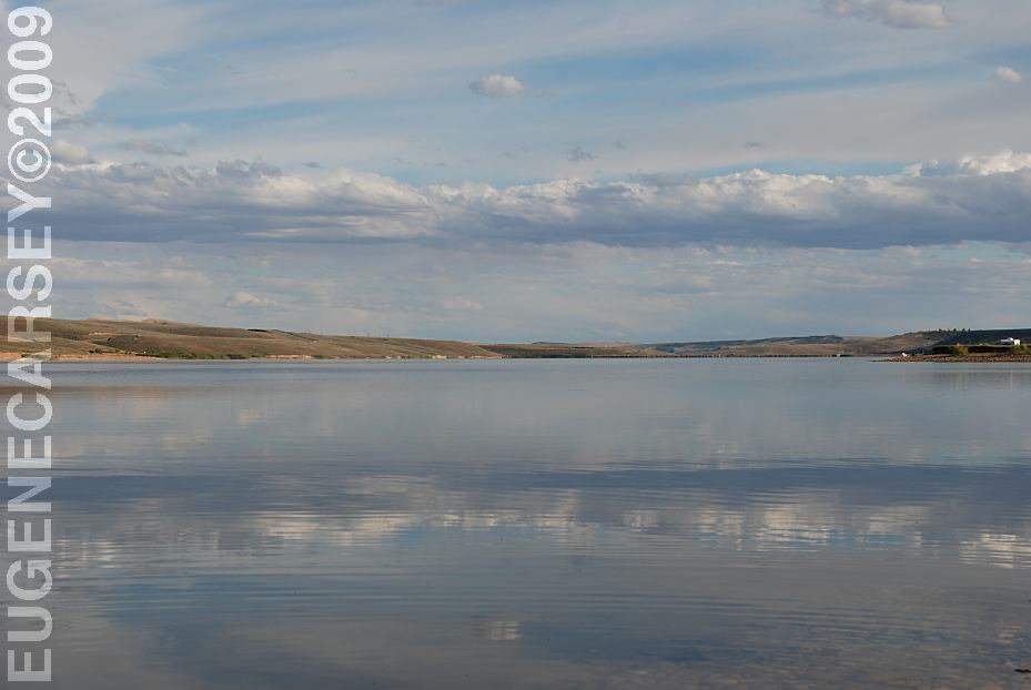
Lake Viva Naughton
LATITUDE: N 41°58.857
LONGITUDE: W 110°39.49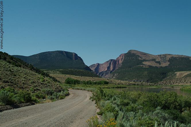
Road towards Gates Of Lodore
Also see: CIMARRON
Also see: GATES
OF LODORE
Also see: GRAND
MESA
Also see: LAKE VIVA NAUGHTON
Also see: MEDICINE
BOW NF / HWY.70
Also see: MOFFAT
COUNTY ROAD 4
Also see: OWL
CREEK
Also see: PASS
CREEK
Also see: SOUTH
MINERAL CREEK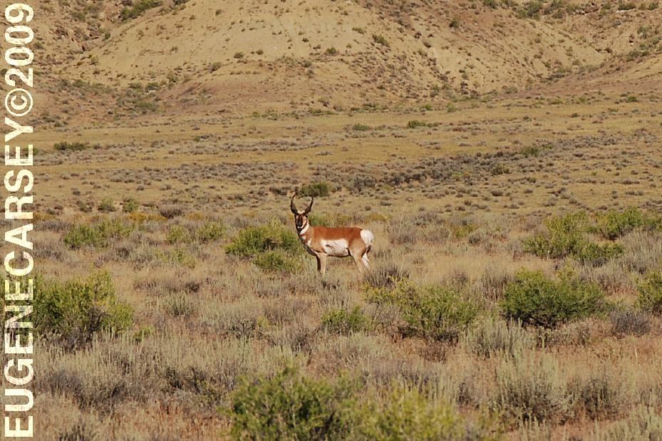
Antelope from Moffat County Road 4
Nice and healthy... we didn't have a hunting license.
Been seeing more antelope this year with some
great photographs.
Complete free campground listing
Free campgrounds and camping
WYOMING CAMPGROUND DIRECTORY
PINE CREEK SKI AREA
