|
Also see: CRANE PRAIRIE
RESERVOIR
Also see: LEMOLO
LAKE
Also see: OAKRIDGE
/ HILL CREEK RESERVOIR
Also see: OAKRIDGE
/ SALMON CREEK ROAD
Also see: ROCK
CREEK CAMPGROUND
Also see: SPARKS
LAKE CAMPGROUND
Also see: WICKIUP
RESERVOIR / ROAD#090
Also see: WICKIUP
RESERVOIR / ROAD#4260
Also see: WICKIUP
RESERVOIR / ROAD#4280
Also see: WICKIUP
RESERVOIR / ROAD#4370
Also see: WICKIUP
RESERVOIR / ROAD#44

Google Custom Map by Ian
OREGON FREE CAMPGROUND MAP
Google custom map by Ian with most of
the free campgrounds in Oregon.
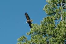
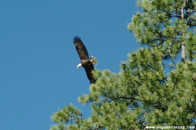
Bald Eagle at Wickiup Reservoir
We have seen several bald eagles in
this area. The biggest bald eagle we ever
saw was at the junction of Road#44 and
Road#4260. He was on the beach and
when he spread his wings was a most
incredible sight... must of been an 8-10'
wing span as he stood tall and brave for
what seemed like an eternity.

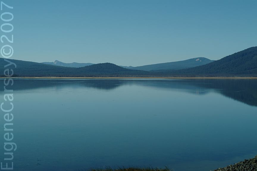
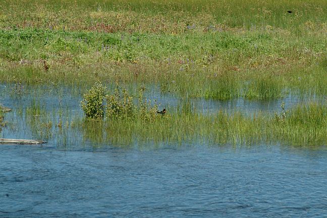
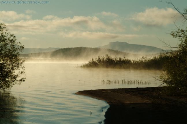
Wickiup Reservoir early in the morning
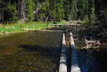
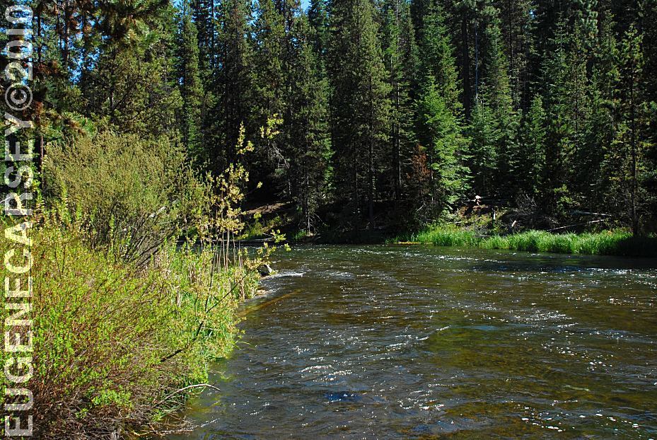
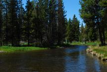
Parking Area along the Deschutes River
Century Drive / MP 42
LATITUDE: N 43.51.399
LONGITUDE: W 121.47.000
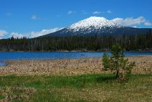
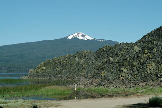
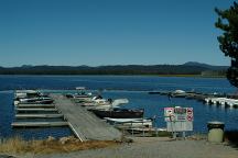
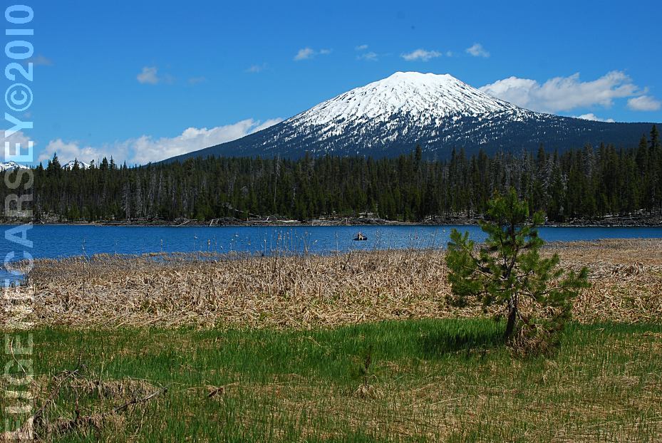
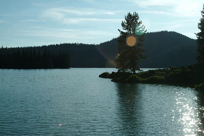
Lava Lake with Mount Bachelor
in the background
LATITUDE: N 43.54.920
LONGITUDE: W 121.46.090
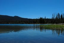
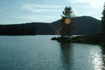
Little Lava Lake
LATITUDE: N 43.54.635
LONGITUDE: W 121.45.710
Day Use Area
LATITUDE: N 43.53.005
LONGITUDE: W 121.46.112
Century Drive Day Use Area along
the Deschutes River. Picnic tables,
Metal Firerings
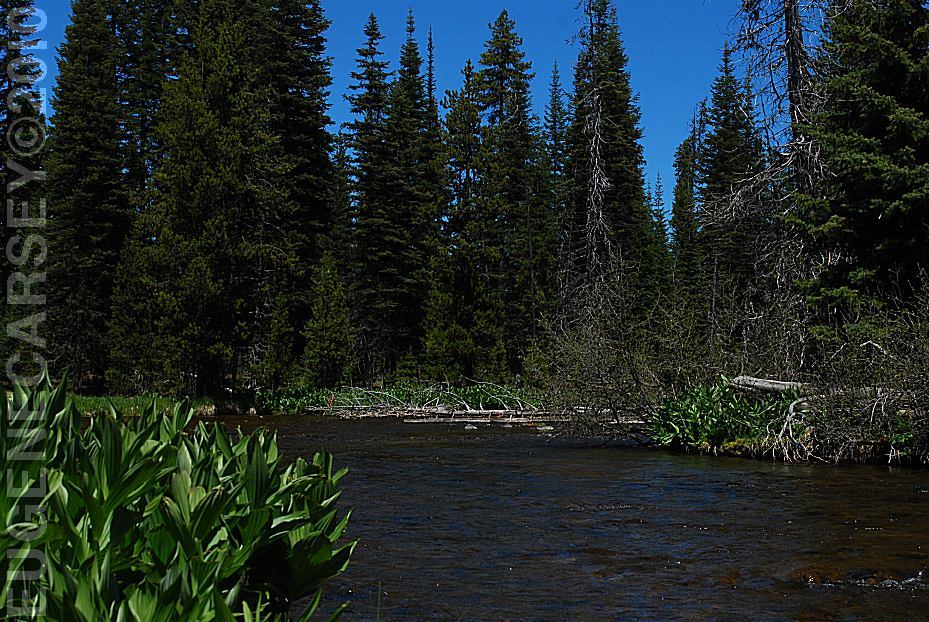
Cow Meadow and Deschutes River
Fee Area / $10
LATITUDE: N 43.48.800
LONGITUDE: W 121.46.580
Elevation: 4530'
Road 970 for 1 1/2 miles
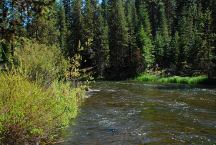
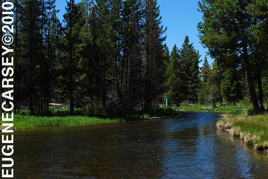
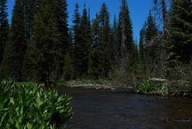
Deschutes River viewed form Highway 42
LATITUDE: N 43.44.665
LONGITUDE: W 121.46.935
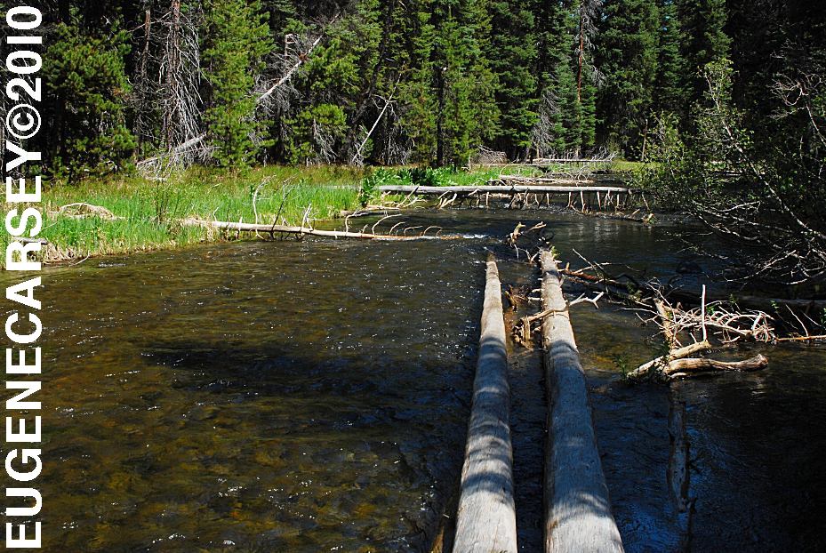
This section of the Deschutes River flows
between Crane Prairie and Wickiup Reservoir
PHOTO HERE
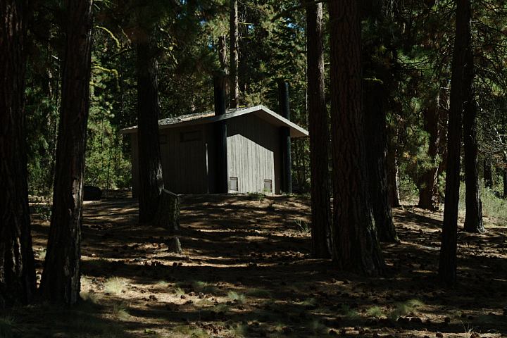
Old Cabin on Browns Creek
LATITUDE: N 43.43.400
LONGITUDE: W 121.49.060
Elevation 4424'
From the dispersed camp area there is an
old road and the cabin is about a five minute
walk. There are several springs and an old
water wheel...
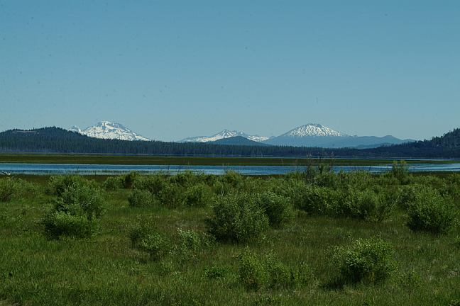
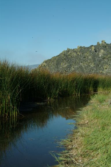
Sparks Lake

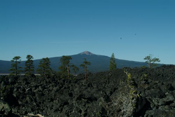
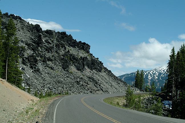
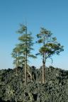
Devils Garden from Cascade Lakes Highway
(Between milepost 27-28)
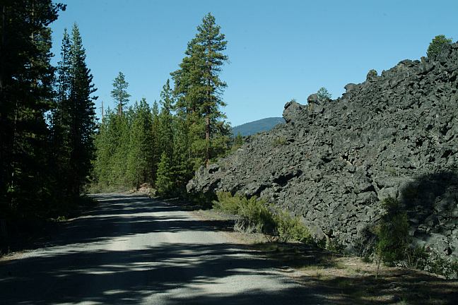
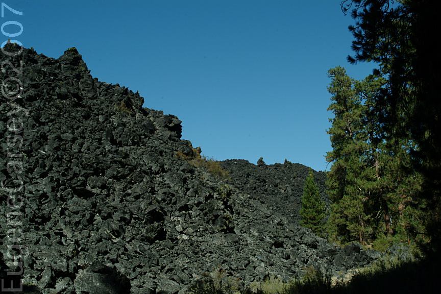
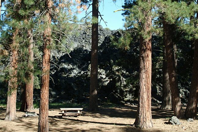
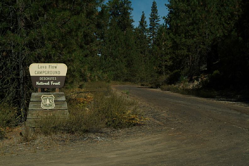
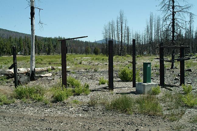
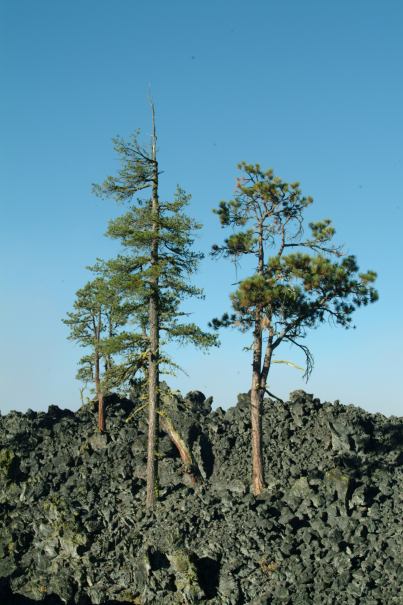
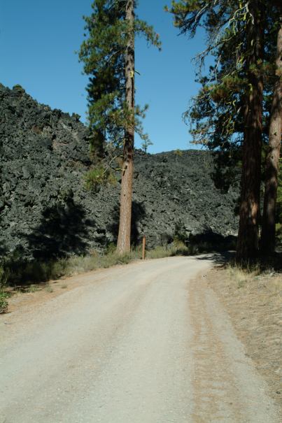
Lava Flow Campground
DISPERSED CAMPSITE
LATITUDE: N 43°29.805
LONGITUDE: W 121°51.140
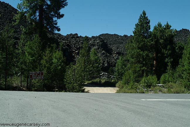
Junction of Cascade Lakes Highway and
Cresent Cut-Off Road on Cresent Creek
About 1/4 mile west of Cresent Creek C.G.
CAMPGROUND INDEX
Complete free campground listing
CAMPING ADVICE AND TIPS
TOURIST
PHOTOS

www.eugenecarsey.com
Camped here 2003, 2004
Camped here spring 2005
Camped here Sept.21 - 22, 2005
Camped here 2007
dispersedcampgrounds.html
Free campgrounds and camping
OREGON CAMPGROUND DIRECTORY`
DESCHUTES NATIONAL FOREST
CASCADE LAKES HIGHWAY
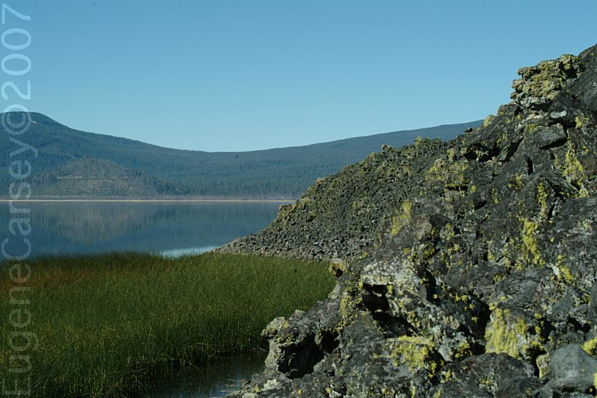
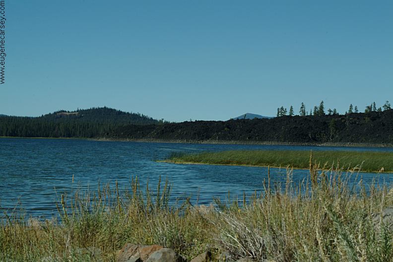
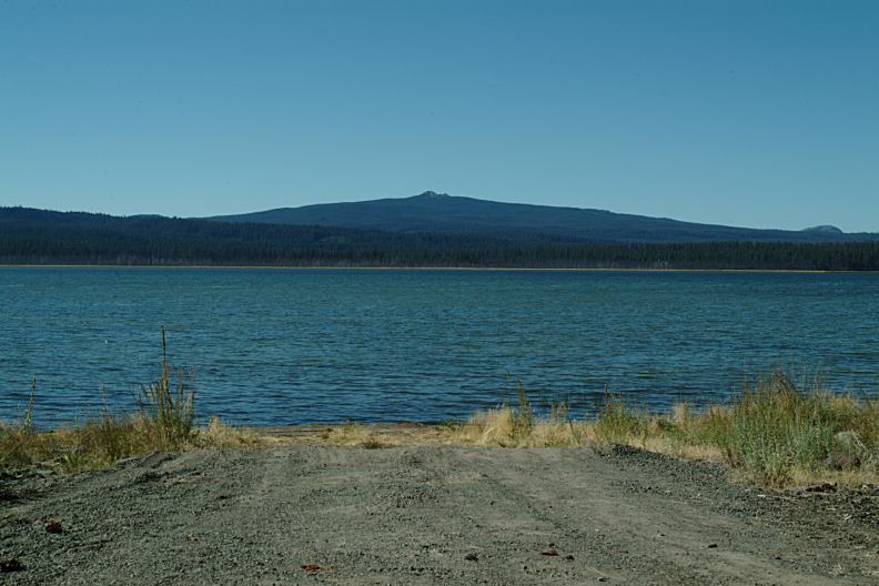
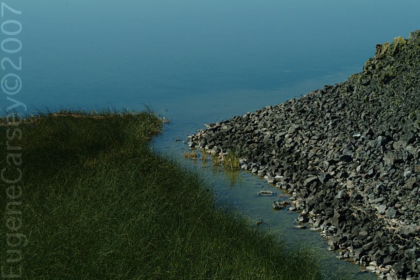
DAVIS LAKE
LAVA FLOW CAMPGROUND
|