|
DIRECTIONS:
(Near Sheep Bridge Campground)
From Highway 42 / Fall River Road
Turn on Road#4260 towards Twin Lakes Resort.
Go 1 mile and turn right on Road#090
The camp area starts in 1/2 mile...
From LaPine, OR
Take Hwy.97 north 2 miles
Turn left at Wickiup Junction/ Burgess Road
Turn left on Highway 42
Turn left on Road#4260 towards Twin Lakes Resort.
Go 1 mile and turn right on Road#090
The camp area is 1/2 mile...

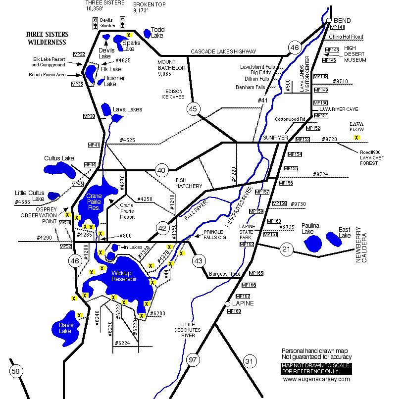
MAP
These are our personal hand drawn maps
Not guaranteed for accuracy
ROAD CONDITIONS:
Road#090 is narrow dirt surface road...
RVs not recommended.
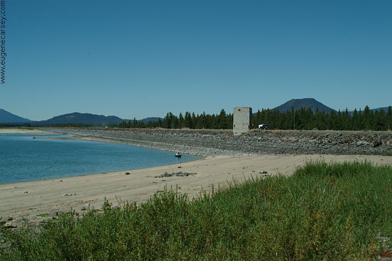
Wickiup Dam
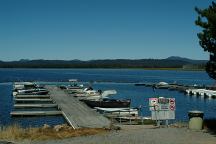
Boat Ramp at Crane Prairie Resort
Showers at Crane Prairie Reservoir Lodge
$1.25 in quarters for 3 minutes.
Showers and Laundry at Twin Lakes Lodge.
Drinking water at Rock Creek Campground
on Cascade Lakes Highway / FS Road#46
Hand pump next to the fish cleaning station
is a deep source well and the water is cool,
clean and refreshing.
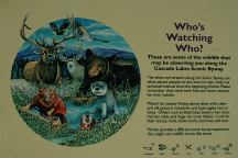
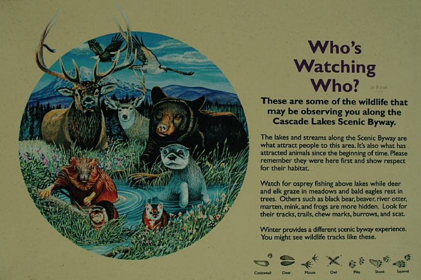
Information and Interesting Facts
Cascade Lakes Hwy / Road#46
Milepost xx
Cascade Lakes Hwy / Road#46
Also see: CHRISTMAS VALLEY /
GREEN MOUNTAIN
Also see: CHRISTMAS
VALLEY / SAND DUNES
Also see: CRANE
PRAIRIE RESERVOIR
Also see: LAVA
FLOW CAMPGROUND
Also see: LEMOLO
LAKE
Also see: NEWBERRY CRATER and MONUMENT
Also see: OAKRIDGE
/ HILL CREEK
Also see: OAKRIDGE
/ SALMON CREEK ROAD
Also see: ROCK
CREEK CAMPGROUND
Also see: SPARKS
LAKE RECREATION AREA
Also see: WICKIUP
RESERVOIR / ROAD#4260
Also see: WICKIUP
RESERVOIR / ROAD#4280
Also see: WICKIUP
RESERVOIR / ROAD#4370
Also see: WICKIUP
RESERVOIR / ROAD#44

Google Custom Map by Ian
OREGON FREE CAMPGROUND MAP
Google custom map by Ian with most of the
free campgrounds in Oregon.
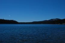
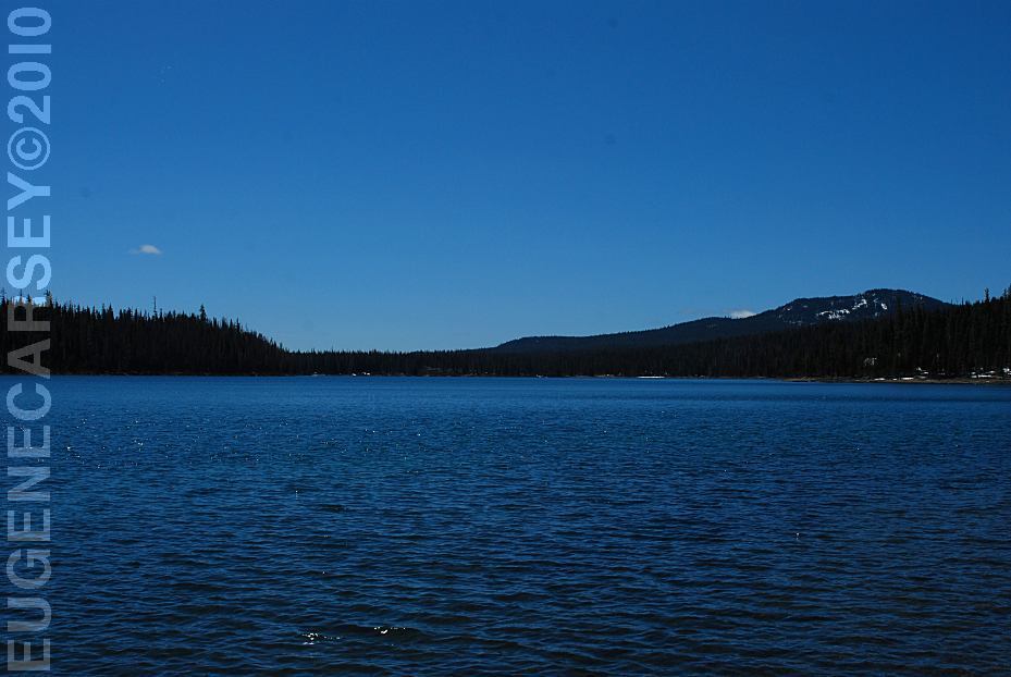
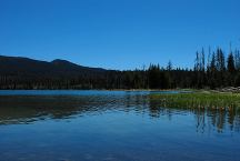
Elk Lake
LATITUDE: N 43.58.815
LONGITUDE: W 121.48.325
Elevation; 4893'
Elk Lake was named by J.Roy Harvey, first
supervisor of the Deschutes National Forest.
It covers approximately 390 acres. It's maximum
depth is 75 feet and the lake has no surface outlet.
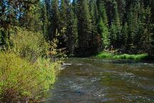
Parking Area along the Deschutes River
Century Drive / MP 42
LATITUDE: N 43.51.399
LONGITUDE: W 121.47.000
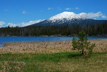
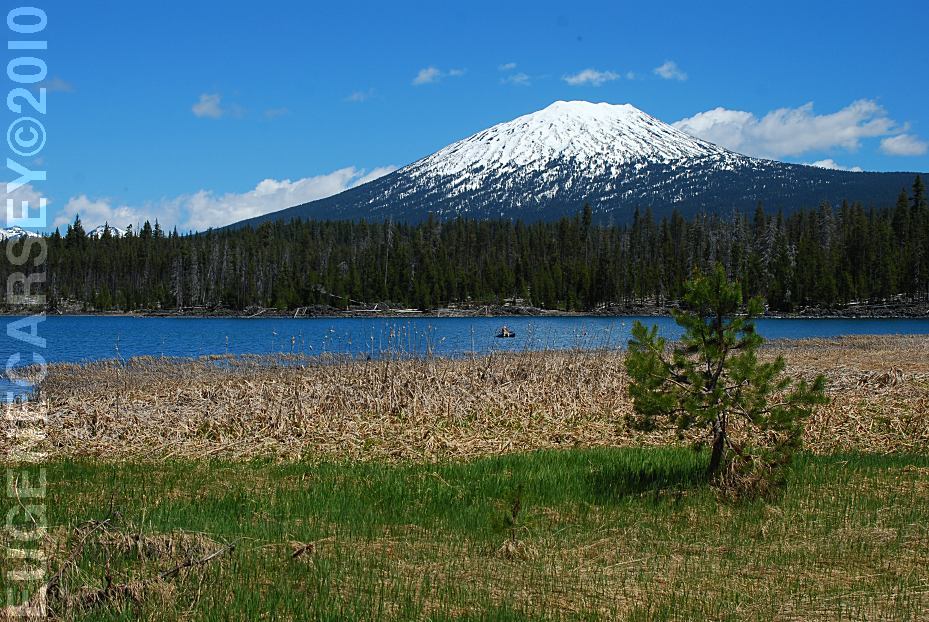
Lava Lake with Mount Bachelor in the background
LATITUDE: N 43.54.920
LONGITUDE: W 121.46.090
Little Lava Lake
LATITUDE: N 43.54.635
LONGITUDE: W 121.45.710
Day Use Area
LATITUDE: N 43.53.005
LONGITUDE: W 121.46.112
Century Drive Day Use Area along the Deschutes River
Picnic Tables, Metal Firerings
Cow Meadow and Deschutes River
Fee Area / $10
LATITUDE: N 43.48.800
LONGITUDE: W 121.46.580
Elevation: 4530'
Road 970 for 1 1/2 miles
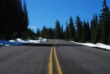
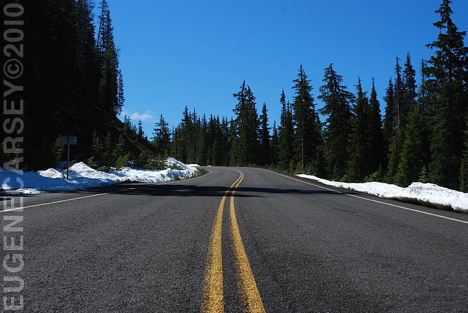
Century Drive between Sparks Lake and Mount Bachelor
Snow on ground June 7, 2010

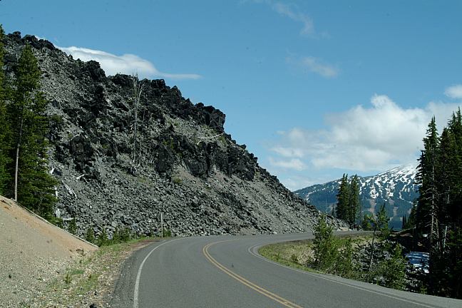
Devils Garden from Cascade Lakes Highway
(Between milepost 27-28)
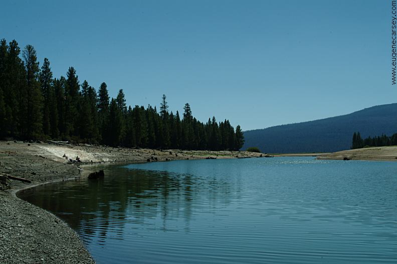
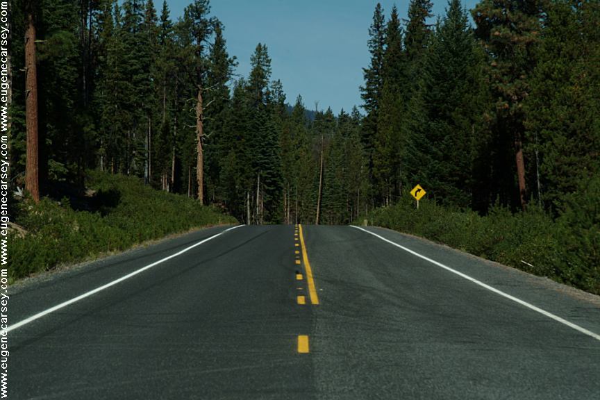
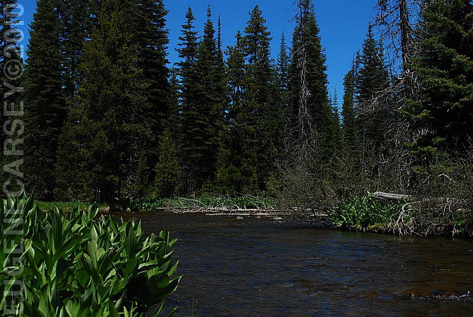
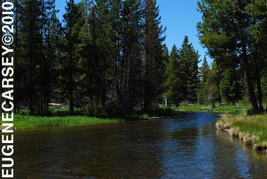
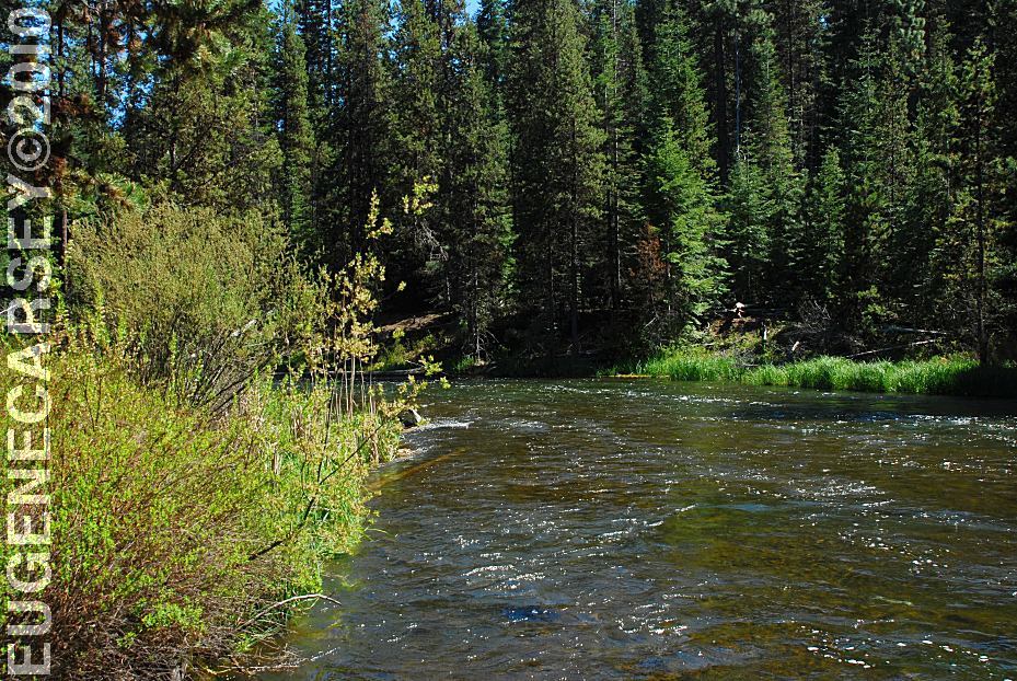
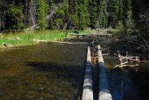
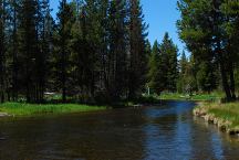
Deschutes River viewed form Highway 42
LATITUDE: N 43.44.665
LONGITUDE: W 121.46.935
This section of the Deschutes River flows between
Crane Prairie and Wickiup Reservoir
PHOTO HERE
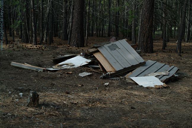
Old Cabin on Browns Creek
N 43.43.400
W 121.49.060
Elevation 4424'
From the dispersed camp area there is an old road
and the cabin is about a five minute walk. There are
several springs and an old water wheel...
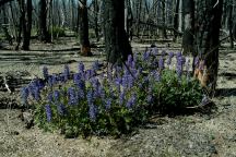
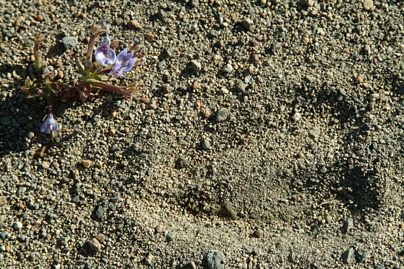
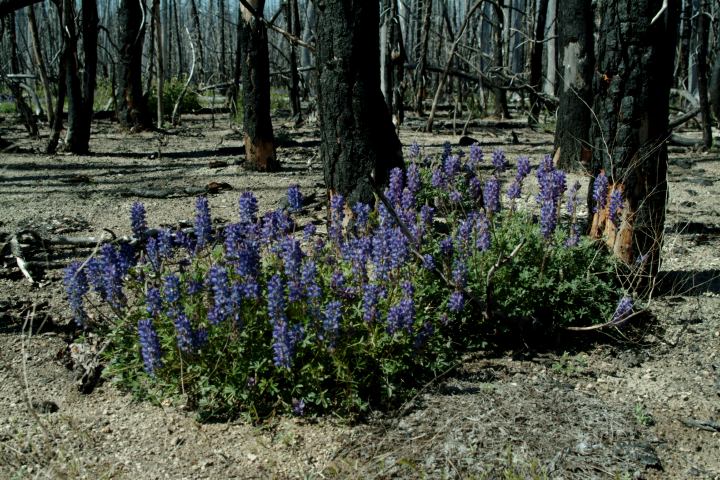
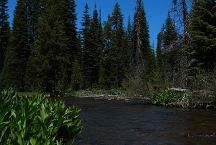
Wildflowers near Davis Lake
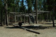
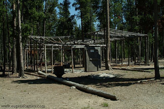
Mushroom camp on Road#5814 near Crescent Lake
Over 5000 people live here during the
mushroom season. You can see hundreds
of these pole buildings... 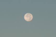
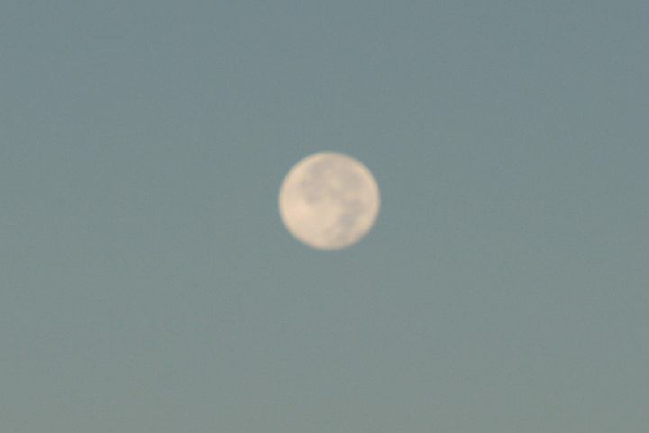
Full Moon in the middle of the day.
September 26, 2007
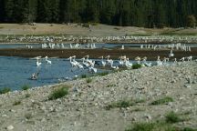
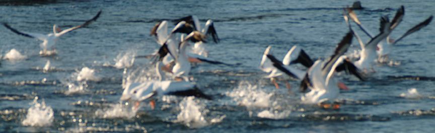
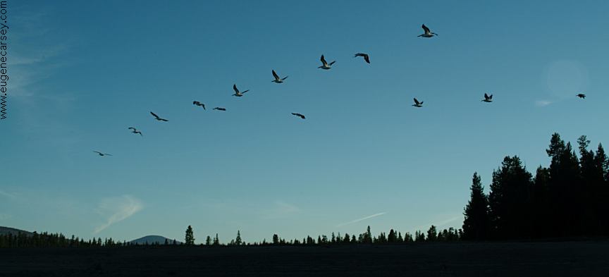
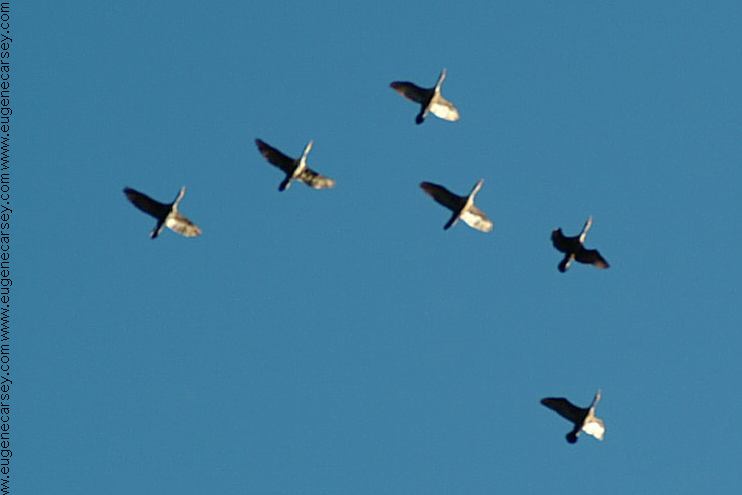
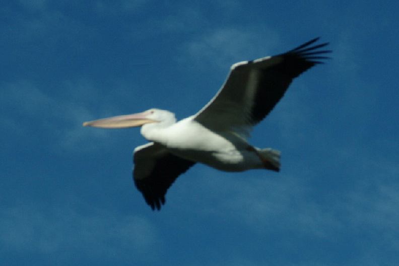
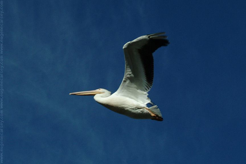
Birds at Wickiup Reservoir
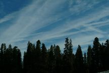
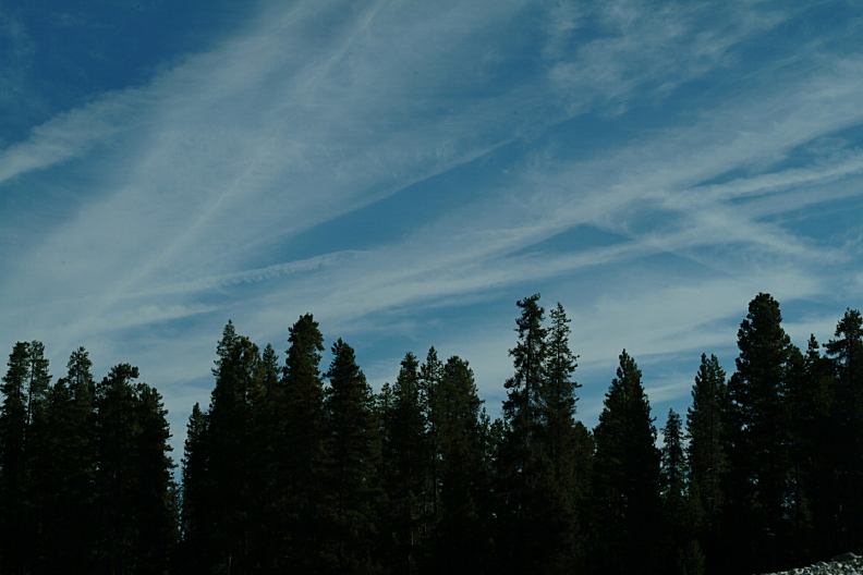
Chemtrails
Funny Clouds over Wickiup Reservoir

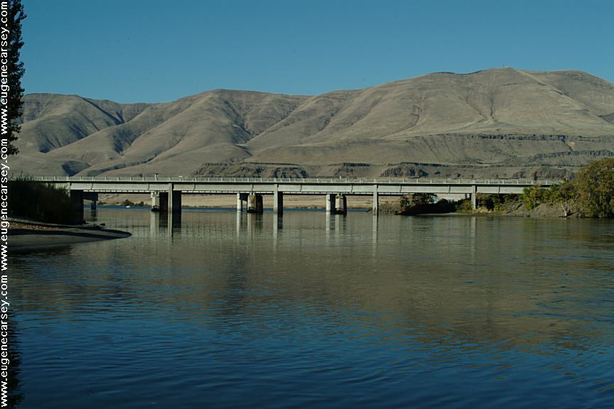
Deschutes Crossing
Deschutes River drains into the Columbia River
Camped here July 3, 2007
Camped here September 26, 2007
Camped here October 31, 2007
Camped here September 1, 2008
Camped here September 23, 2008
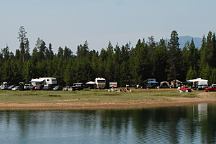
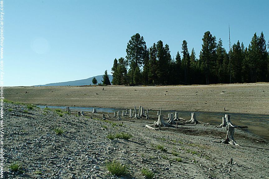
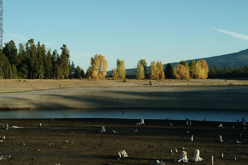
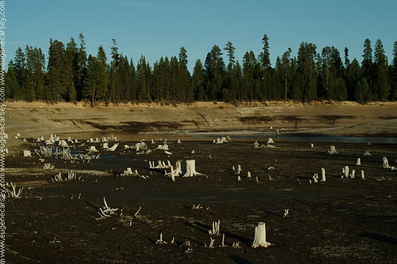
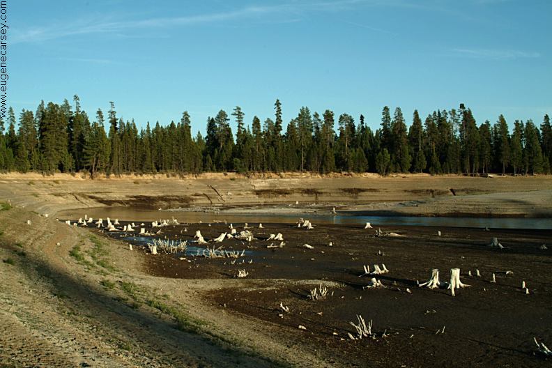
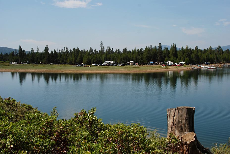
Crowded conditions at Wickiup Reservoir
Every campsite and possible space was occupied.
In the last couple years are more and more people.
FROM THE BLOG:
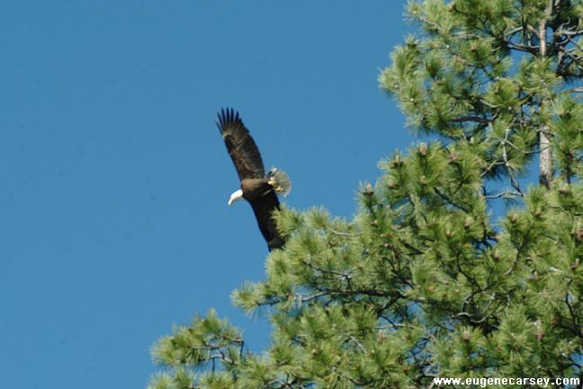
September xx, 2008
The Kokanee Salmon were spawning and
the eagles swoop down and catch the fish
near the surface. The problem is that eagles
can't swim, so when one eagle ended up in
the water, he struggled to shore and almost
didn't make it. Expending so much energy
it took over 20 minutes to recuperate, just
standing there before flying away.
CAMPGROUND INDEX
Complete free campground listing
CAMPING ADVICE AND TIPS
TOURIST
PHOTOS

www.eugenecarsey.com
dispersedcampgrounds.com
Free campgrounds and camping
OREGON CAMPGROUND DIRECTORY
DESCHUTES NATIONAL FOREST
WICKIUP RESERVOIR
|