|
|


|
Free camping and campgrounds
|
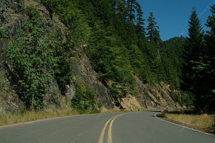
From the junction of NF Road #23 and #21 Warner Mtn. 29
Packard Creek 5 Road#21 follows the shores of Hill Creek Lake There is a perfect camp with rope swing There is a camp about a mile up Road#2117 There are a couple good camps on Road#2118 Road#2127 going towards Roseburg there is a LITTLE PINE OPENINGS WARNER MOUNTAIN LOOKOUT ROAD WARNER RIDGE LOOKOUT About a mile before Warner Mountain Lookout If driving up Road#2129 towards Warner
Mountain, NF Road#270 is on Road#21 between milepost 21 Another good camp is just before the entrance
to About a mile past Sacandaga Campground is From the junction of NF Road #21 and #2143 Highway 58 Summit Lake 26 15.4 Near Swift Creek on Road#391 / W5523 INDIGO SPRINGS CAMPGROUND ESTABLISHED CAMPGROUNDS LEMOLO LAKE
Summit Lake
Timpanogas Lake
Roseburg
Highway 138
42
43
88
60
Sand Prairie
Secret
Campers Flat
Sacandaga
Indigo Springs
12
18
20
25
29
for about 10-15 miles. Most of the established
campgrounds don't charge fees during the off season.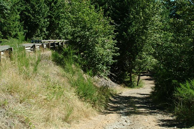
Road#21 Perfect camp about 1/2 mile
before junction of Road#2117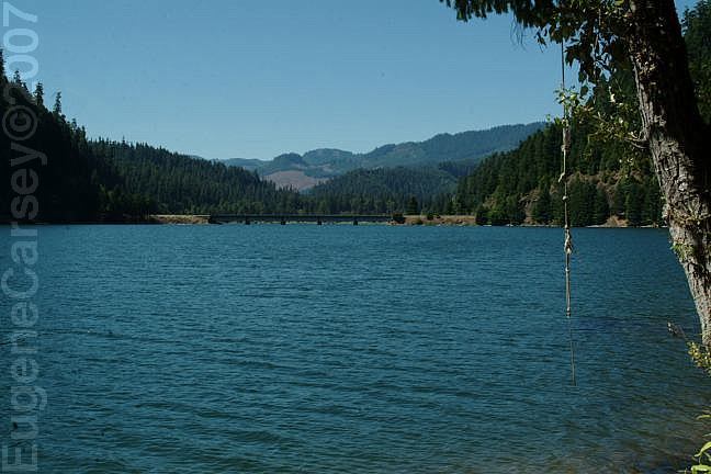
Road#21 Perfect camp about 1/2 mile
before junction of Road#2117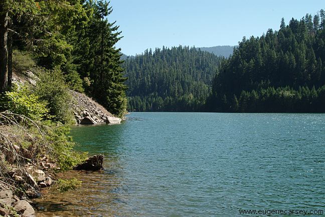
Road#21 Perfect camp about 1/2 mile
before junction of Road#2117
1/2 miles before the junction of Road#2117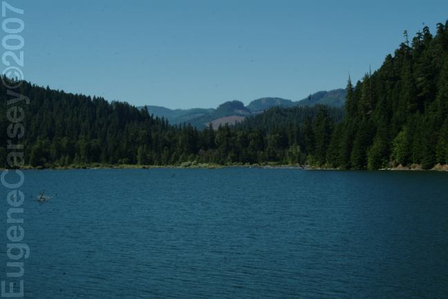
Gold Creek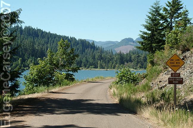
Gold Creek Road / Road#2117
Turn at Bingham Boat Ramp. Near the junction
of Road#2118 and Road#479 / Coffee Creek,
are some good camps. Road#2118 is about
10 miles long and connects Road#21 and Road#23.
There are a couple more camps along the water.
good camp, just over the bridge and to your right.
The camp is along the river and surrounded by trees.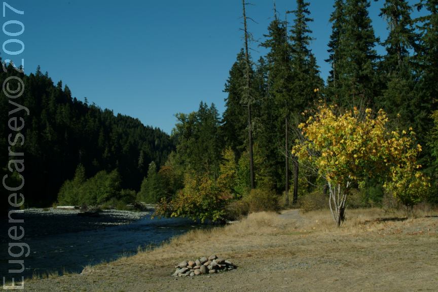
Little Pine Openings
N 43�34.120
W 122�27.795
Road#21 near MP14
On the banks of Middle Fork Willamette River
There are a couple dispersed campsites.

NF Road#2129
NF Road#2129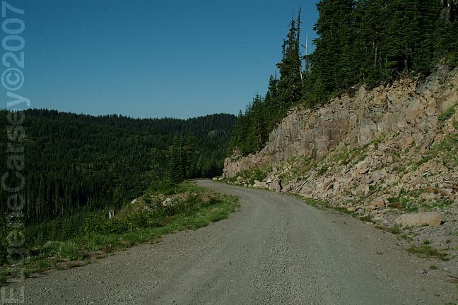
Road towards Warner Mountain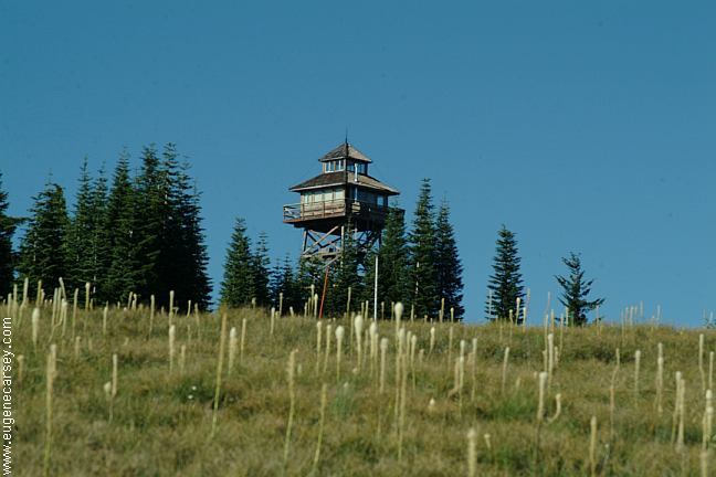
Warner Ridge Lookout
(Warner Mountain Lookout)
(Warner Mountain Lookout)
Warner Ridge lookout is a working fire lookout.
Visitors permitted between 8am - 5pm
Except during lightning and fire conditions.
Lookout is rented November - May
If interested in renting the lookout
Contact the Middle Fork Ranger District
541-782-2283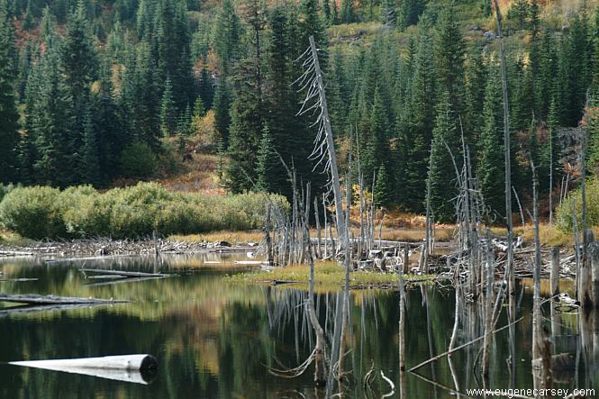
Road W5209
is Road#W5209. It is 3/4 mile long and leads to a
mountain lake. About as perfect as it gets. There
is a small campsite. Not recommended for large
vehicles.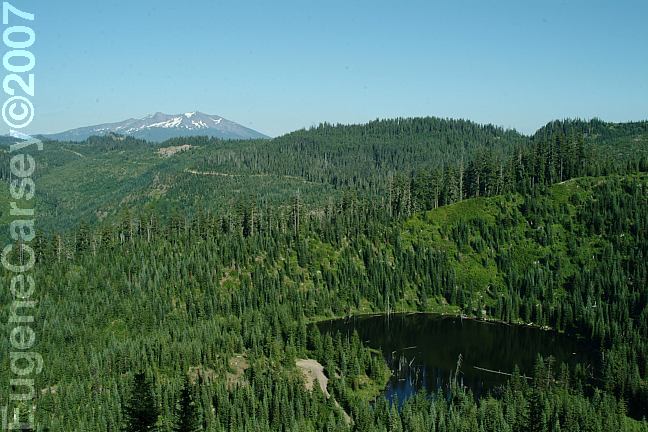
View of lake from Road#439
NF Road#445
you will see Road#445 to the right. It just goes about
1/8 mile with a nice camp on top of the ridge.
and 22. Go up Road#270 and just a short distance
you will see Road#288, and there is a great camp
around the bend. You can stay on Road#270 and
there are more camps along the way.
Sacandaga Campground. Turn right just before the
fee area(Middle Fork Trail No. 3609) and it's a couple
hundred yards. Even has picnic tables(2) and a cement
parking pad. 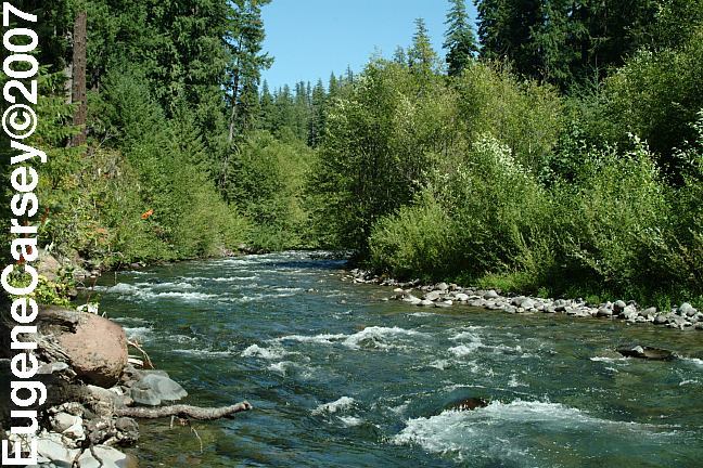
Middle Fork Willamette River
From Road#2143 / Echo Creek Road
Road#2143 / Echo Creek Road. About 1/2 mile
at the bridge over Middle Fork Willamette River
there are a couple camp areas on both sides of
the road. Turn right and there is a camp with a
rope swing. To the left is Camp xx on the
river's bank.
Oakridge
Timpangas Lake
27
16.4
there is a camp.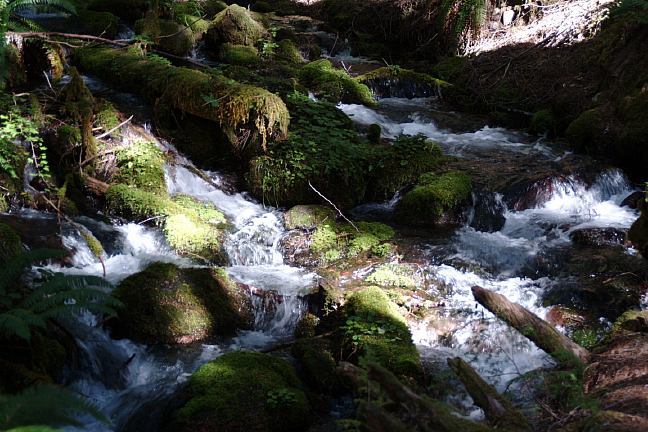
Indigo Springs... not the best photo.
Near Milepost 29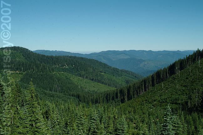
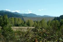
View from Road#2120
PACKARD CREEK CAMPGROUND $14.00
SAND PRAIRIE CAMPGROUND $12.00
Oregon Central Military Wagon Road
The old road at Sand Prairie Campground
is probably a portion of the Wagon Road
constructed in 1865-66
YOUNGS FLAT CAMPGROUND
Youngs Flat Campground is free,
but kind of cheesy and beat up.
It is next to the main road
SECRET CAMPGROUND $10.00
Between milepost 18-19
CAMPER'S FLAT CAMPGROUND $10.00
Water pump
Elevation 2000'
Near milepost 20 (Between MP19-20)
SACANDAGA CAMPGROUND $8.00
Road#279
Picnic tables, BBQ Grills, metal firerings, outhouse
Hand water pump.
There is a nice camp if you turn just before
the campground. See above.
INDIGO SPRINGS CAMPGROUND
Free campground at Indigo Springs.
(More information above)
TIMPANDAS LAKE CAMPGROUND $8.00
Road#399
Beautiful campground...
There are several other established
campgrounds that are not listed...
(Fees last updated: 2006)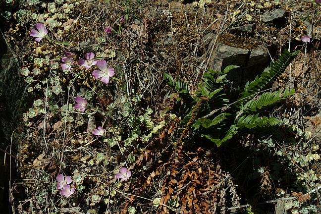
Road#21 Flowers
Continue on Road#21 and Diamond Drive.
Lemolo lake has both established campgrounds
and dispersed camping areas. Within a couple miles
of Lemolo Lake are some mountain lakes and springs
offering some great camping opportunities.
HILLS CREEK DAM DIRECTIONS: Road#21 is not maintained for snow and ice. We were parked when a bear came into Saw another bear on Road#21 near Indigo Cheapest gas is in Springfield near I-5 Also see: AUFDERHEIDE
FOREST DRIVE OREGON FREE CAMPGROUND MAP Camped here October 9-20, 2005 CAMPGROUND INDEX
dispersedcampgrounds.com
Hills Creek Dam
Photo from Road #23
(About 1/2 mile from the Jct. of Road#21)
LATITUDE: N 43�42.425
LONGITUDE: W 122�25.717
(GPS from top of Hills Creek Dam)
Hills Creek Dam and Reservoir near Oakridge, OR.
About 2 miles east of Oakridge on Hwy.58
Turn south on NF Road#23.
There is an information board about 1/8 mile
The Junction of NF Road#21 is 1/2 miles.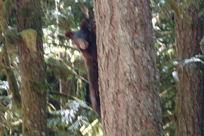
Bear in tree
(About 30 feet distance)
the camp. He was more scared of us and
ran up the tree. Photo is dark and blurred,
because of low lighting conditions..
Springs Campground in August 2006.
It was from a longer distance and the bear
was just crossing the road.
Cheapest gas on I-5 southbound at Creswell
or I-5 northbound at Eugene, Albany or Salem.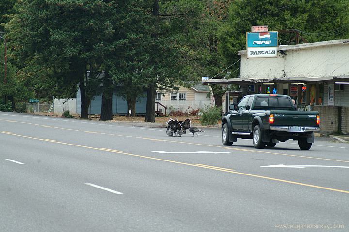
Wild Turkeys on Hwy.58 in Oakridge
Also see: FALL
CREEK LAKE
Also see: INDIGO SPRINGS
Also see: LAVA
FLOW CAMPGROUND
Also see: LEMOLO
LAKE
Also see: LOGGERS
BUTTE CAMP
Also see: SALMON CREEK ROAD
Also see: SCAREDMAN
BLM REC.SITE
Also see: WICKIUP
RESERVOIR / ROAD#090
Also see: WICKIUP
RESERVOIR / ROAD#4260
Also see: WICKIUP
RESERVOIR / ROAD#4280
Also see: WICKIUP
RESERVOIR / ROAD#4370
Also see: WICKIUP
RESERVOIR / ROAD#44
Google Custom Map by Ian
Google custom map by Ian with most of the
free campgrounds in Oregon.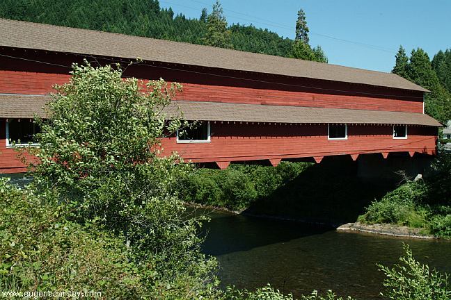
Office Bridge in West Fir, Oregon
Blackberries July 16, 2006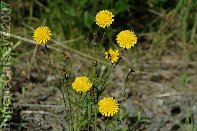
Road#2120 Dandelions... bad news.
Road#2120 Flowers full of insects...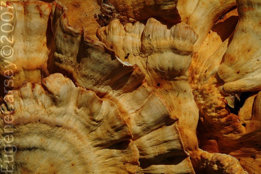
Chicken of the Woods Mushroom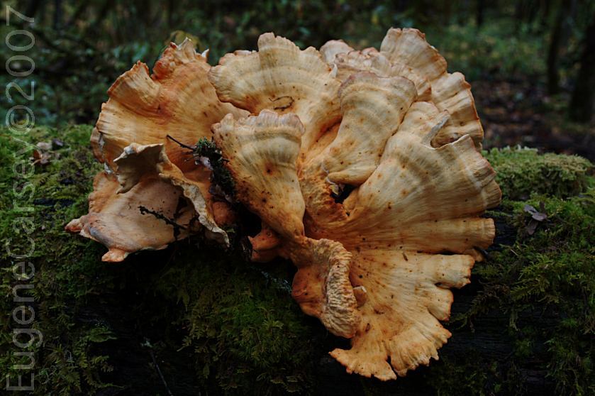
Chicken of the Woods Mushroom
Somebody harvested these mushrooms and
left them to waste... we arranged them on this
moss covered log for photo purposes.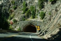
Tunnel on Hwy.58 / MP56-57
Just west from Salt Creek Falls.
Photo through windshield of vehicle at 55 mph.
Complete free campground listing
Free campgrounds and camping
OREGON CAMPGROUND DIRECTORY
WILLAMETTE NATIONAL FOREST
HILLS CREEK RESERVOIR
