|
DIRECTIONS:
From Oakridge take Hwy.58 east about 3 miles
Turn towards the Fish Hatchery
A couple miles, it will run into NF Road#24.
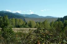
Road#24 is lined with good camping spots.
Road#24 is 14.5 miles paved, then turns to dirt.
From Oakridge (Mountain View Plaza / Ray's)
Turn on Crestview to E.1st Street
Turn right on E.1st Street and it turns into Road#24
ROAD CONDITIONS:
Road#24 is paved surface...
Spur roads and access to dispersed campsites are
dirt and gravel surfaces. Rough and narrow...
Not recommended for RVs
Ray's grocery store in Oakridge has a good
selection
of fresh produce and the prices are decent.
Cheapest gas is in Springfield near I-5
Cheapest gas on I-5 southbound at Creswell
or I-5 northbound at Eugene, Albany or Salem.
If you have a map, Big Falls Creek Road /
Road#18
sticks out like a sore thumb, with many established
campgrounds and recreation areas. Mostly it is a
fee area with limited dispersed camping.
DOLLEY VARDEN CAMPGROUND $10.00
BROKEN BOWL CAMPGROUND $14.00
BIG POOL CAMPGROUND
BEDROCK CAMPGROUND $10.00
PUMA CAMPGROUND $12.00
Puma has a hand water pump.
Also see: AUFDERHEIDE
FOREST DRIVE
Also see: FALL
CREEK LAKE
Also see: HILL CREEK LAKE
Also see: INDIGO SPRINGS
Also see: LAVA
FLOW CAMPGROUND
Also see: LEMOLO
LAKE
Also see: LOGGERS BUTTE CAMP
Also see: SCAREDMAN
BLM REC.SITE
Also see: WICKIUP
RESERVOIR / ROAD#090
Also see: WICKIUP
RESERVOIR / ROAD#4260
Also see: WICKIUP
RESERVOIR / ROAD#4280
Also see: WICKIUP
RESERVOIR / ROAD#4370
Also see: WICKIUP
RESERVOIR / ROAD#44

Google Custom Map by Ian
OREGON FREE CAMPGROUND MAP
Google custom map by Ian with most of the
free campgrounds in Oregon.
Hills Creek Dam
Photo from Road #23
(About 1/2 mile from the Jct. of Road#21)
HILLS CREEK DAM
LATITUDE: N 43°42.425
LONGITUDE: W 122°25.717
(GPS from top of Hills Creek Dam)
Hills Creek Dam and Reservoir near Oakridge, OR.
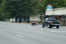
Wild Turkeys on Hwy.58 in Oakridge
Camped here October 7-8, 2005
Camped here October 21, 2005
Camped here June 11, 2006
Camped here July 14-15, 2006
Camped here July 21, 2006
And many more times...
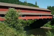
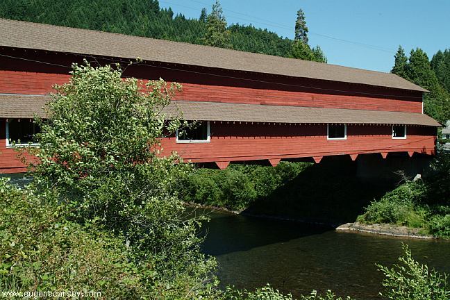
Office Bridge in West Fir, Oregon
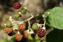
Blackberries July 16, 2006

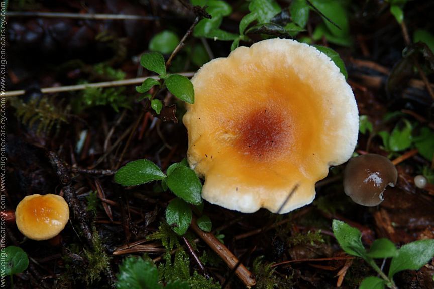
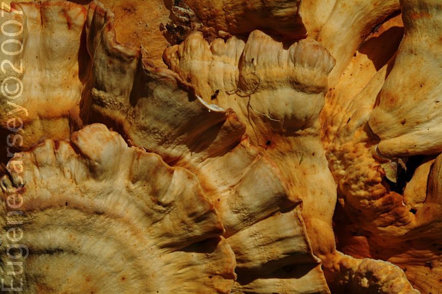
Chicken of the Woods Mushroom
Near Cline Clark Day Use Area on Road#21
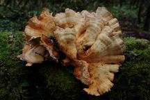
Chicken of the Woods Mushroom
Somebody harvested these mushrooms and
left them to waste... we arranged them on this
moss covered log for photo purposes.
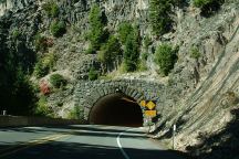
Tunnel on Hwy.58 / MP56-57
Just west from Salt Creek Falls.
Photo through windshield of vehicle at 55 mph.

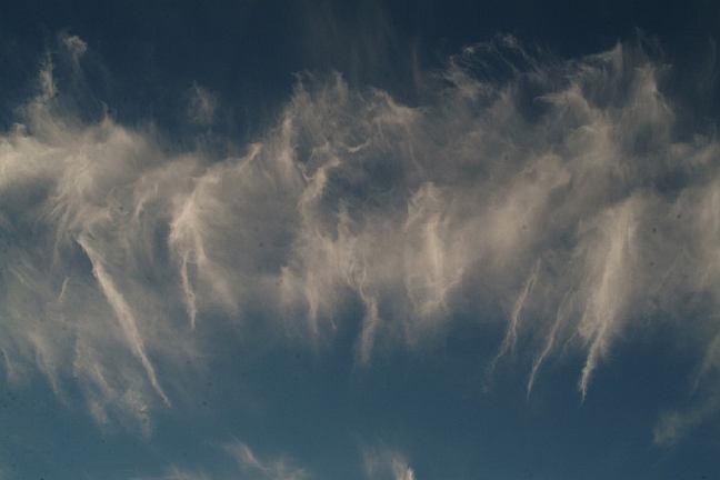
Funny clouds... from horizon to horizon
was this cloud about 20 miles long.

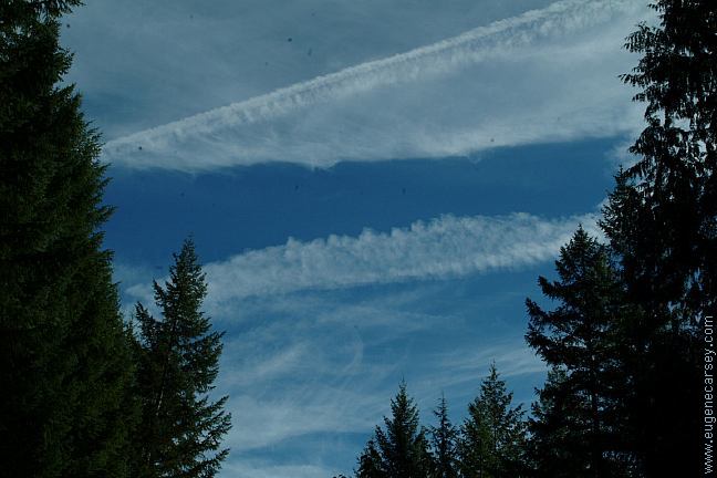
More funny clouds - Sept.17, 2006

And more... Sept.17, 2006
CAMPGROUND INDEX
Complete free campground listing
CAMPING ADVICE AND TIPS
TOURIST
PHOTOS

www.eugenecarsey.com
dispersedcampgrounds.com
Free campgrounds and camping
OREGON CAMPGROUND DIRECTORY
NATIONAL FOREST ROAD #24
SALMON CREEK ROAD
WILLAMETTE NATIONAL FOREST
|