|
|


|
Free camping and campgrounds |
|
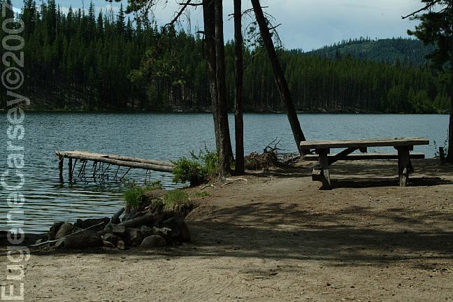
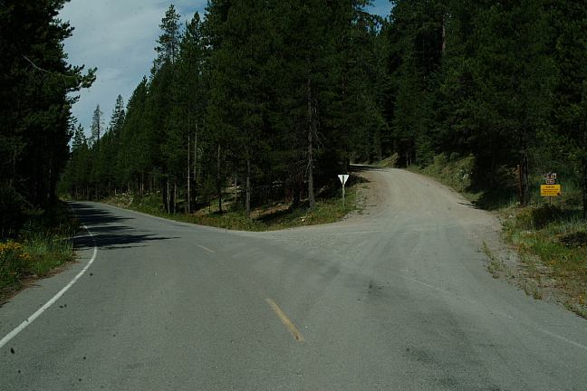
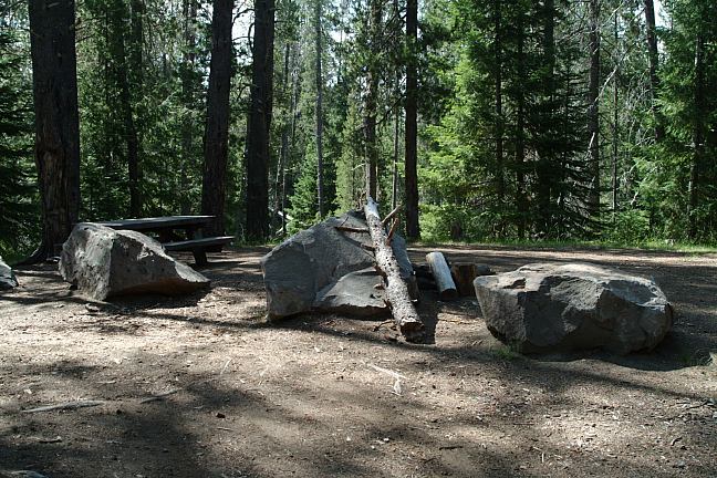
There are several dispersed camps on
Road#2612, between Bunker Hill Campground
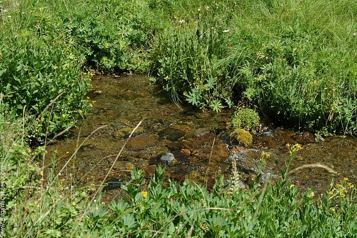
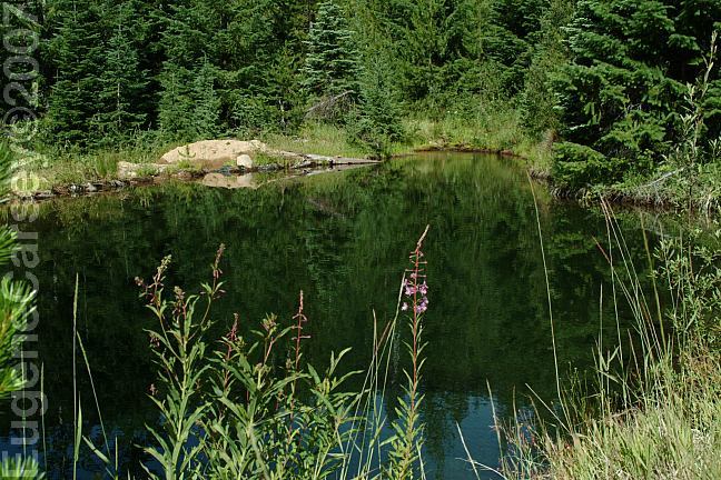
CRYSTAL SPRINGS
|
|
Road#700
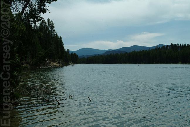
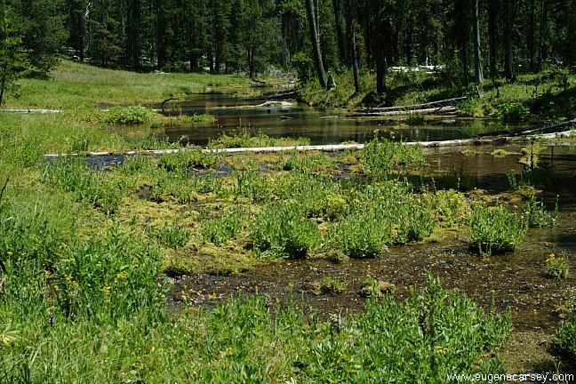
On Road#2614 at Lake Creek is a Road#60 has a couple camp areas.
|
|
Umpqua is the name of an Indian Tribe ESTABLISHED CAMPGROUNDS SCAREDMAN
CAMPGROUND
DIRECTIONS: From Oakridge From Cresent Lake NOTE: From Bend / LaPine MILEAGE CHART: Highway 58 Lemolo Lake Resort 23 miles 5 miles See road map... the roads are narrow, winding Water at Lake Lemolo / Poole Creek Campground Showers at Lemolo Lake Resort NEARBY CAMPGROUNDS |
More things to do and see... COLLIDING RIVERS TOKETEE FALLS WATSON FALLS CINNAMON BUTTE LOOKOUT CRATER LAKE NATIONAL PARK
Spectacular scenery and geologic phenomenon
World Class Fishing and Whitewater Boating...
Hwy.138 near Glide
North Umpqua River and Little River
colliding together for dramatic effect.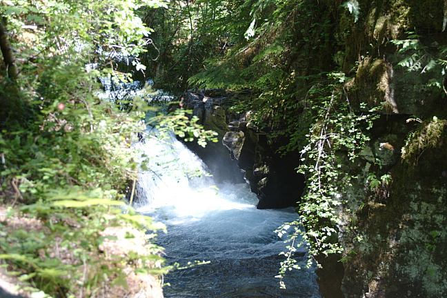
Upper Toketee Falls
Double-tiered falls drops 120' over columnar basalt.
0.4 mile trail leads to an observation deck.
Hwy.138 / Milepost 59
Turn north on Road#34 and follow signs.
(Less than 1/4 mile)
272 feet.
Hwy.138 / Milepost 61
Turn south on Road#37
Road#4793
Highway 138
Umpqua National Forest LINKS: Also see: HILL CREEK LAKE OREGON FREE CAMPGROUND MAP Over 5000 people live here during the mushroom
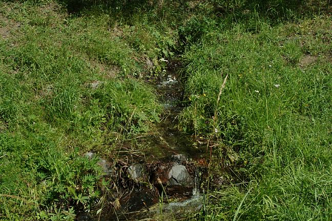
season. CAMPGROUND INDEX Some sheets of plastic made it into the stream.
Camped here 2006 dispersedcampgrounds.com
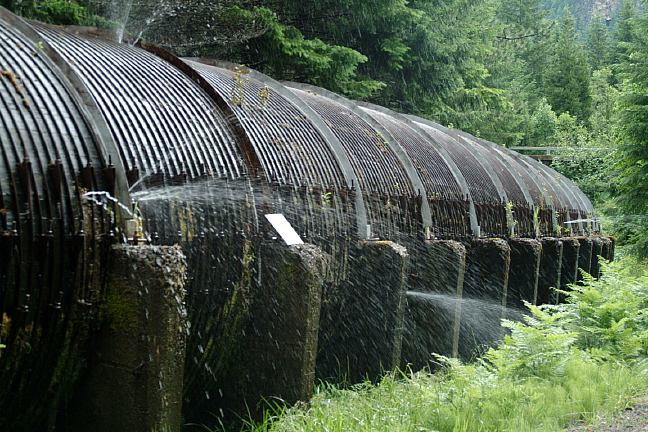
Redwood Aqueduct at Toketee Falls Trailhead
2900 NW Stewart Parkway
Roseburg, OR 97470
541-672-6601
http://www.fs.fed.us/r6/umpqua
www.lemololakeresort.com
Smokey Bear
"Close the book on forest fires"
At Junction of Road#2612 and Road#700
Also see: INDIGO
SPRINGS
Also see: LAVA
FLOW CAMPGROUND
Also see: LOGGERS
BUTTE
Also see: ROCK
CREEK CAMPGROUND
Also see: SALMON
CREEK ROAD
Also see: SCAREDMAN
CAMPGROUND
Also see: WICKIUP
RESERVOIR / ROAD#090
Also see: WICKIUP
RESERVOIR / ROAD#4260
Also see: WICKIUP
RESERVOIR / ROAD#4280
Also see: WICKIUP
RESERVOIR / ROAD#4370
Also see: WICKIUP
RESERVOIR / ROAD#44
Google Custom Map by Ian
Google custom map by Ian with most of the
free campgrounds in Oregon.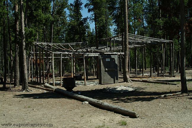
Mushroom camp on Road#5814 near Crescent Lake
You can see hundreds of these pole buildings...
Complete free campground listing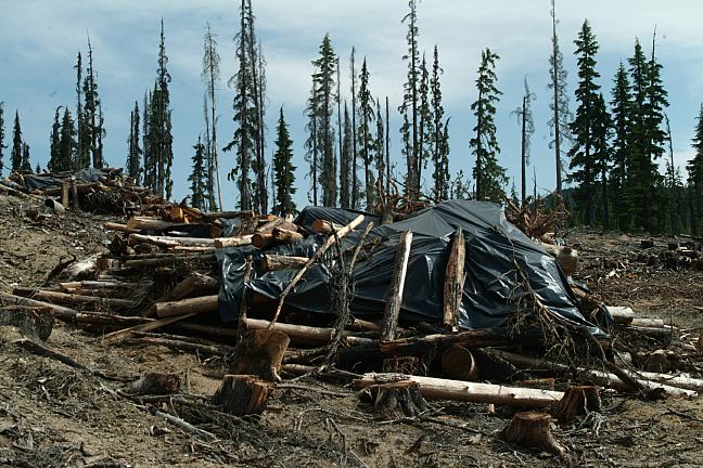
Some people like plastic, some people don't...
Road#700 near Lemolo Lake
100's of slash piles covered with plastic...
We heard on the radio today, that every piece
of plastic ever made is still in the environment
and eventually ends up in the ocean.
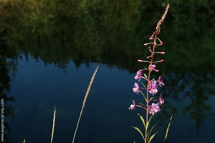
Camped here Sept. 7, 2007
Free campgrounds and camping
OREGON CAMPING
UMPQUA NATIONAL FOREST
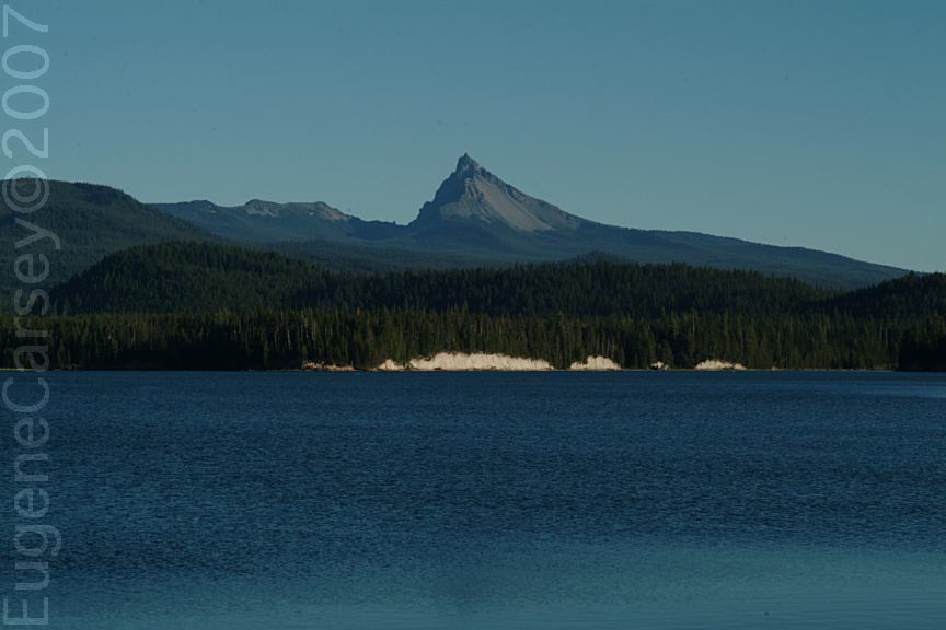
LEMOLO LAKE
