|
ARIZONA TOURIST GUIDE
NATURAL ARCHES
ROBERT'S ARCH
UTM COORDINATES:
UTM Coordinates is cataloged name of arch
LATITUDE: N 33°48.538
LONGITUDE: W 114°05.120
ACCURACY: 6'
ELEVATION: 1588'
DIMENSIONS: 8.5"W x 1'3"H
See detailed measurements below
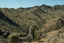
Robert's Arch might not be an actual tourist
destination, but it does have special qualities and
good spirits. Robert's arch would be considered
a minor arch if judged by size, but takes on
a life of it's own with a sense of massive
proportions.
Robert's Arch might go unnoticed and we
didn't pay much attention until one day when
taking photos, it seemed to steal the scene.
PHOTO HERE
LATITUDE: N 33°48.xxx
LONGITUDE: W 114°05.xxx
Primitive campsite viewed from Robert's Arch.
We have camped here several times..
Purple flowers and strange rock formations.
PHOTO HERE
Natural Arch just above Robert's Arch.
ABOVE ROBERT'S ARCH
LATITUDE: N 33°48.539
LONGITUDE: W 114°05.123
ACCURACY: 6'
DIMENSIONS: 1'2"W x 2' H
There is another natural arch just above
Robert's Arch. It is larger in size, but less
defined. About 10' behind Robert's Arch.
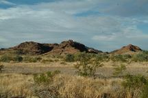
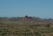
There is camping allowed almost anywhere
along Plomosa Road. It is a desert area with
cactus and badlands. Washouts and weather
worn landscapes await you. Rocks and sand
everywhere.
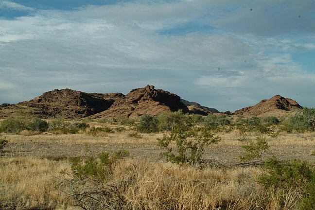
Plomosa Road between Milepost 13 -14
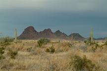
Plomosa Road between Milepost 13 -14

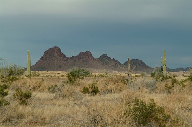
Plomosa Road near MP#8
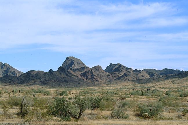
Plomosa Road Viewpoint
There will be what seems like a million RV's
during the winter months. Actually it is officially
estimated in the tens of thousands.
14 Day Camping Limit
|