|
|


|
Free campgrounds and camping |
|
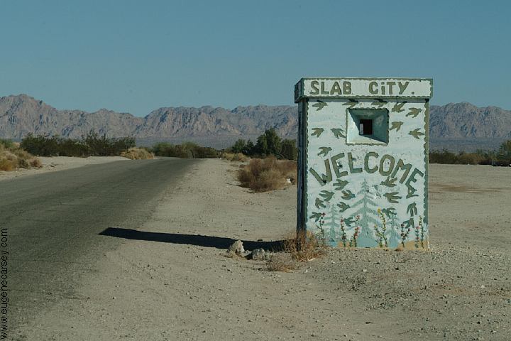
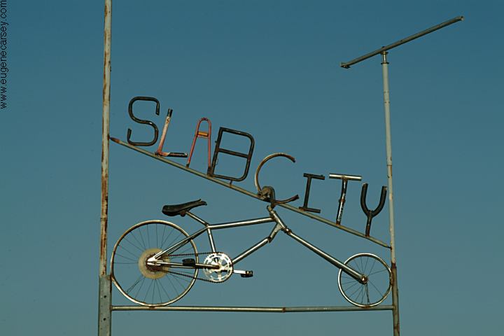
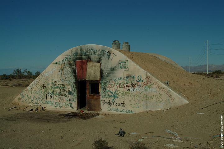
Slab City is an abandoned military base (Camp
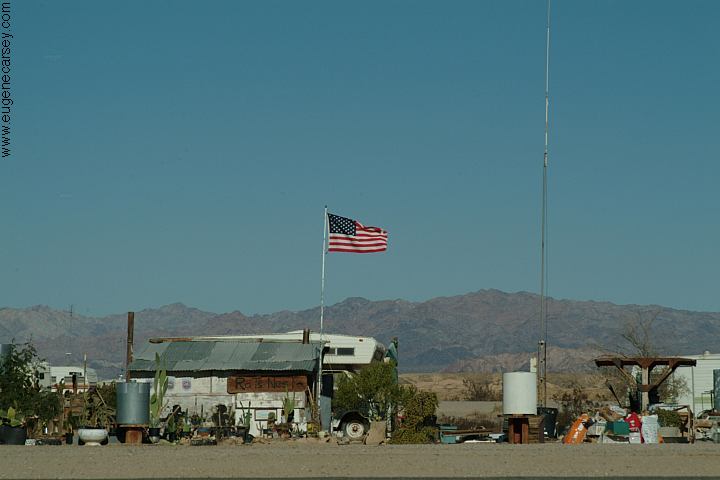
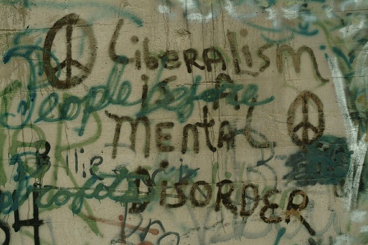
Slab City has a newspaper and library...
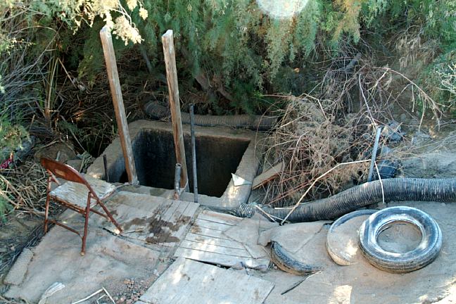
You could camp in the old bunkers. They
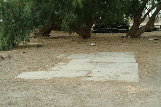
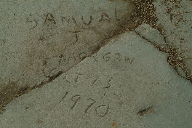
This slab was poured in 1970, years after |
|
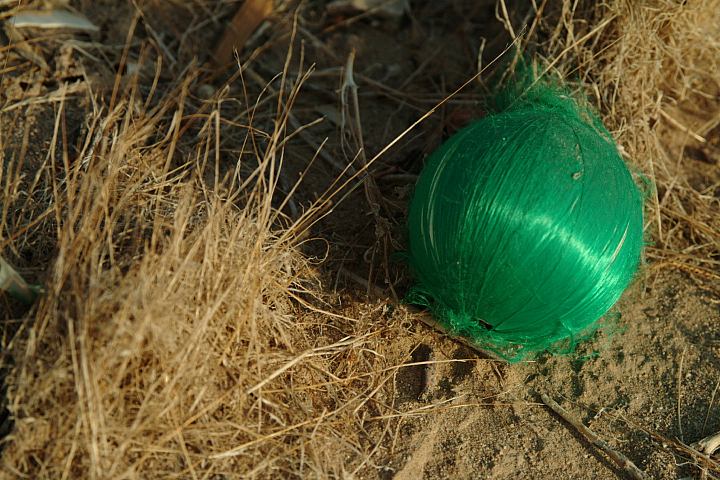
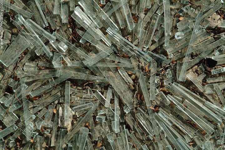
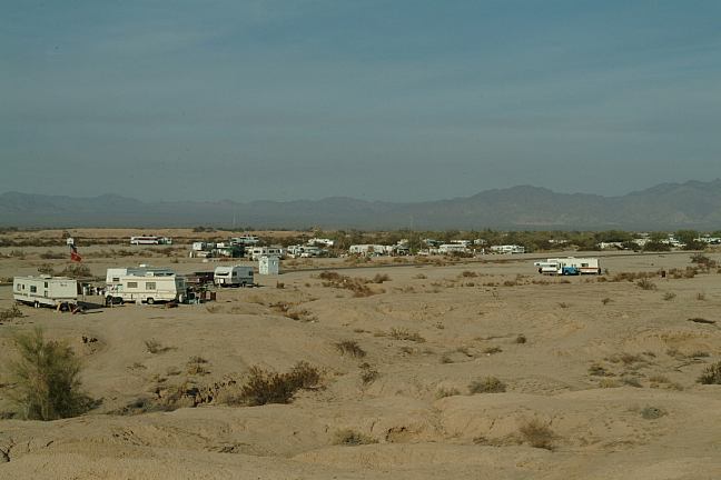
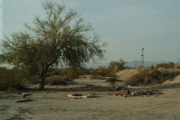
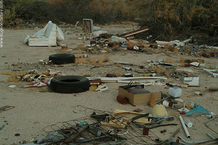
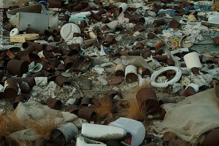
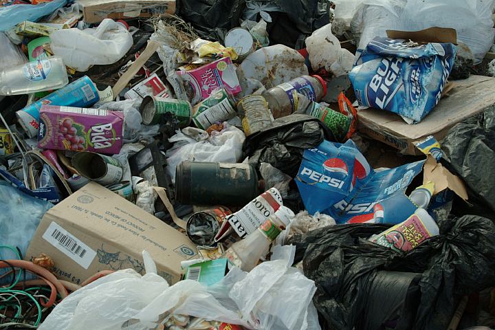
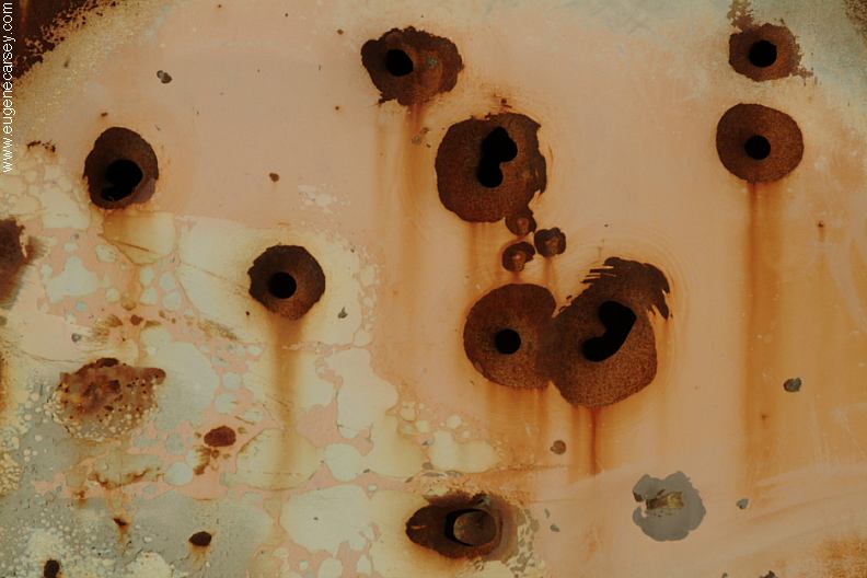
It is impossible to believe the amount
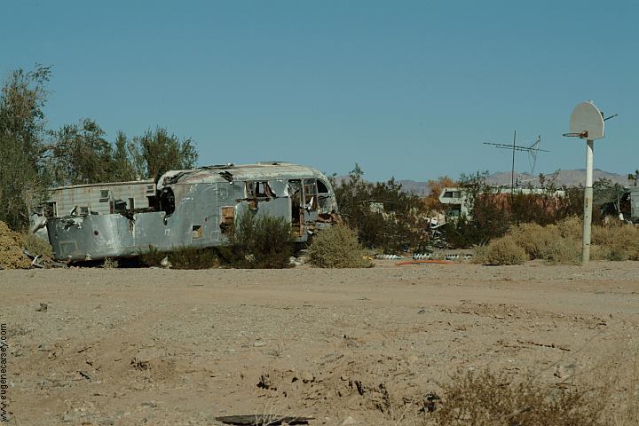
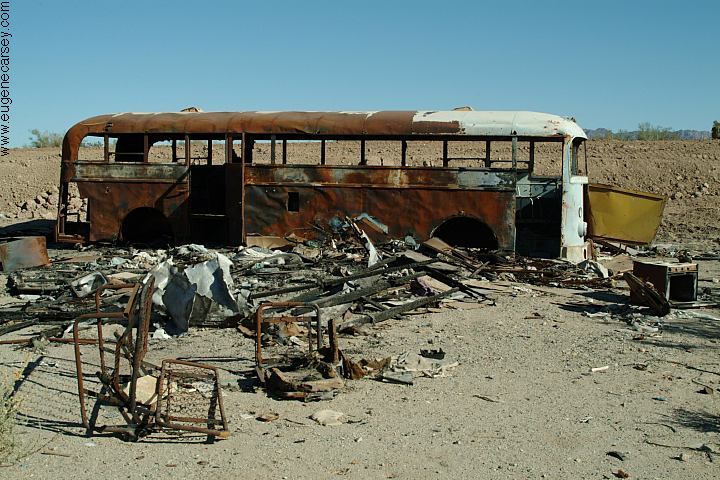
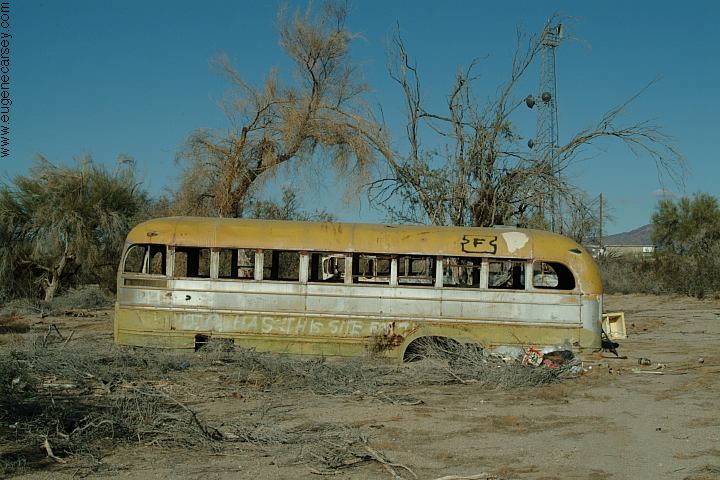
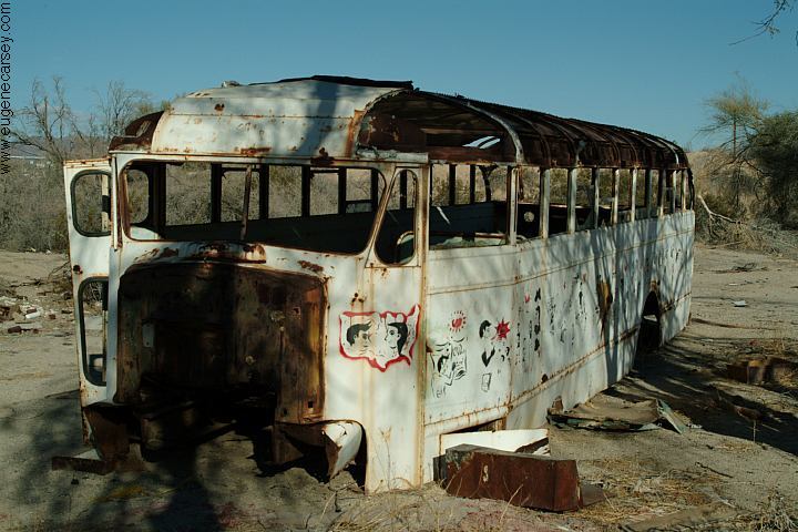
The garbage in above photos is every
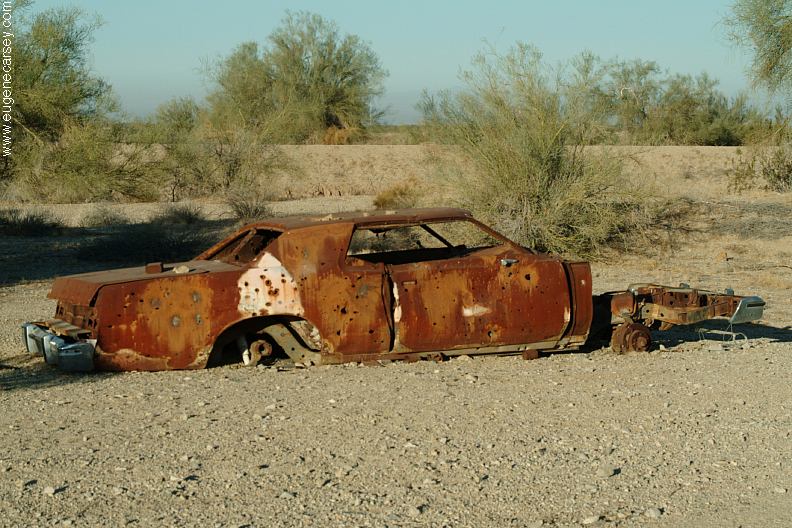
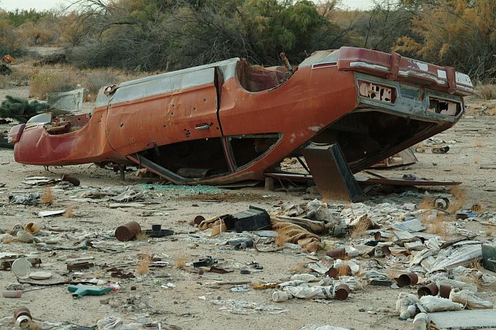
Buses and trailers that have been stripped |
|
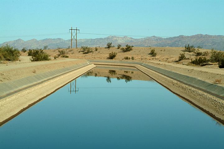
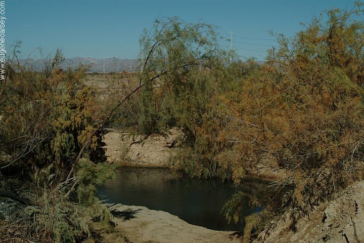
The Coachella Canal runs along the
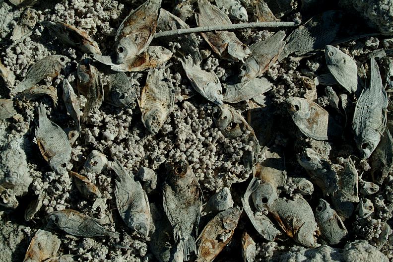
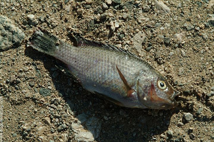
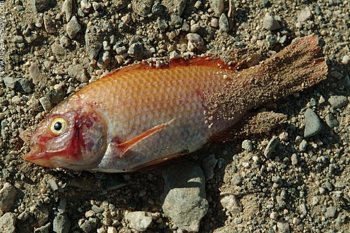
You can see big, monster size fish in the
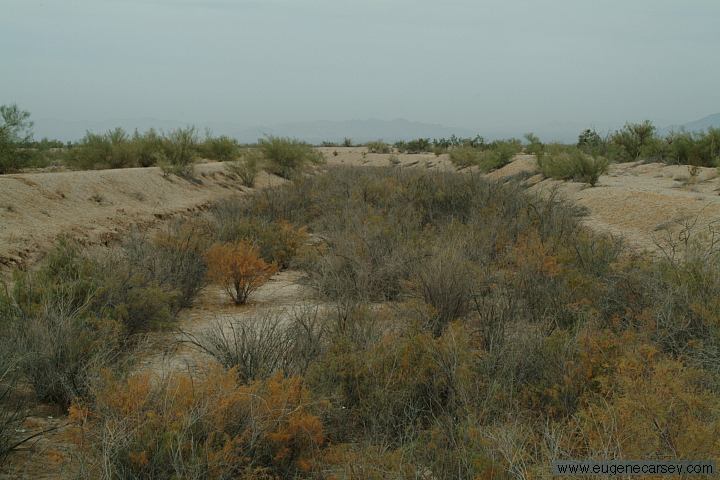
There is an old canal that runs parallel
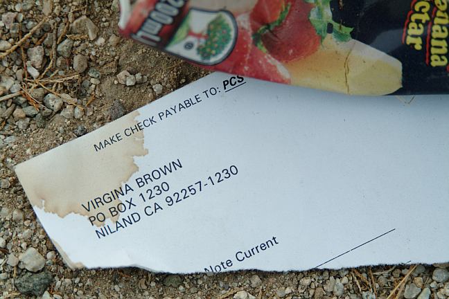
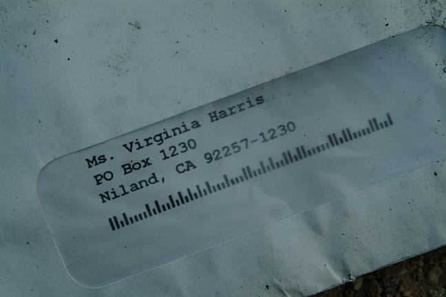
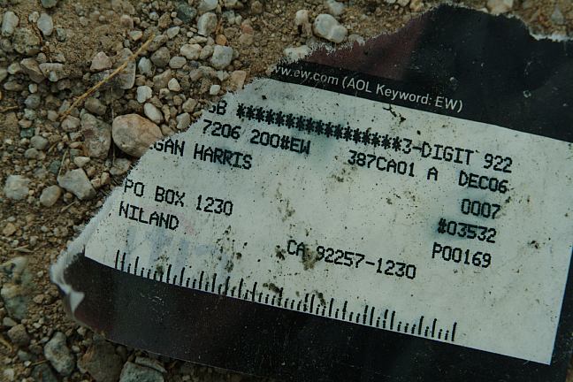
Above litterbug names are the same addresses.
PHOTO HERE There is a lot of noise for being out in the
Coyotes howling in the background can
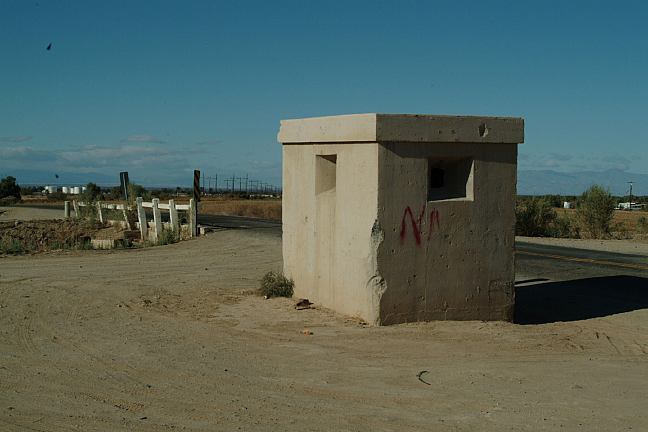
DIRECTIONS: DISTANCES FROM NILAND, CA There are some hot springs and a shower
The hot springs are near the three cement
The shower is near the cement building.
NILAND, CALIFORNIA |
|
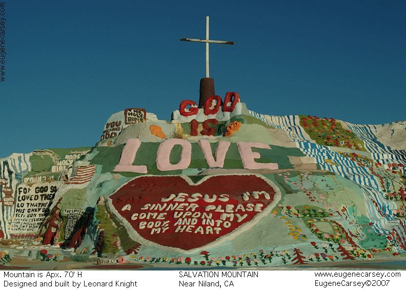
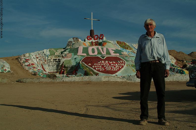
Leonard Knight's Salvation Mountain could
Leonard landed here in 1983 when his hot air SALVATION
MOUNTAIN
FROM THE BLOG: NILAND BOAT RAMP
BOX
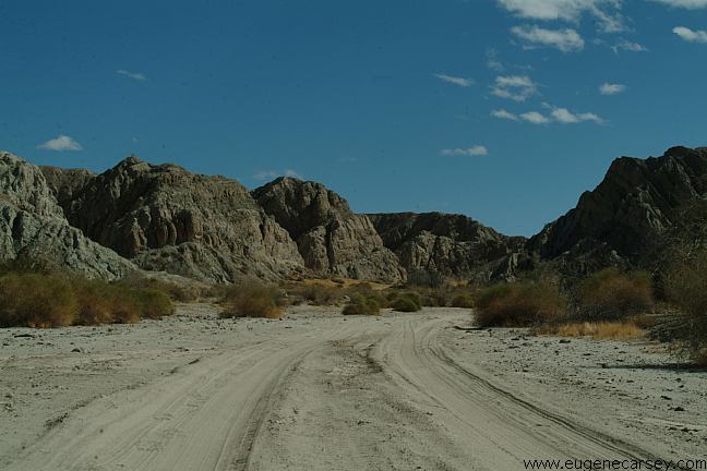
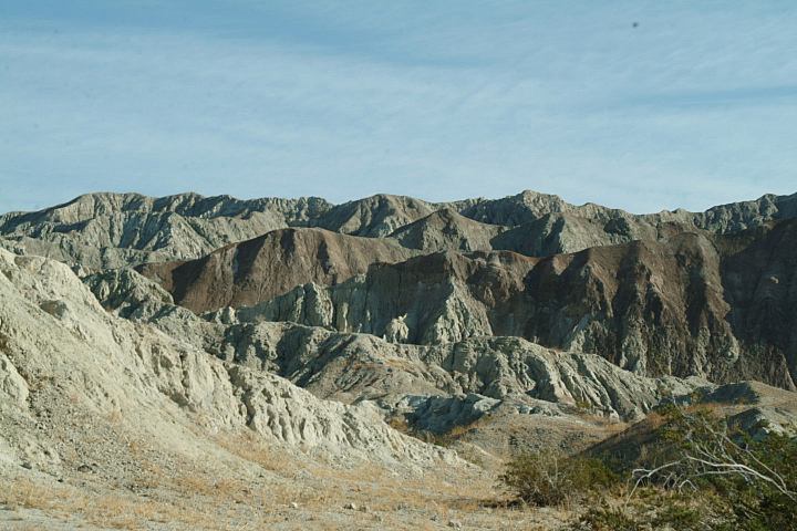
CANYON ROAD
PAINTED CANYON ROAD CHOCOLATE MOUNTAINS |
|
ESTABLISHED CAMPGROUNDS
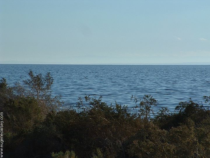
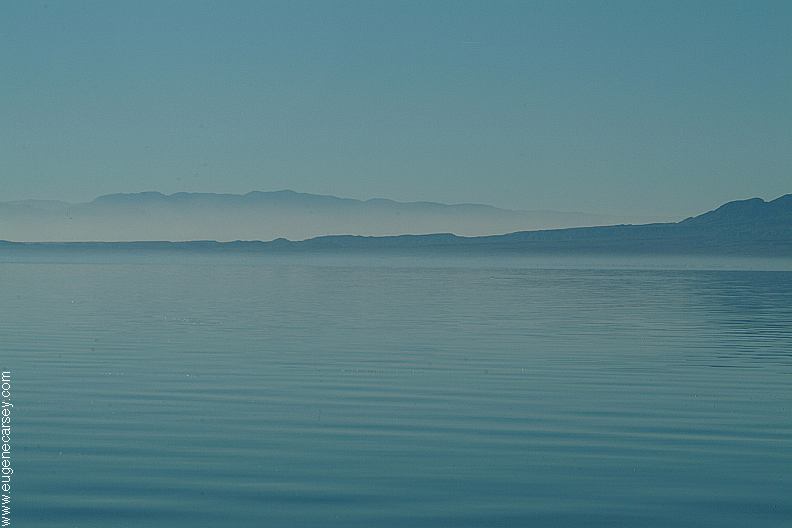
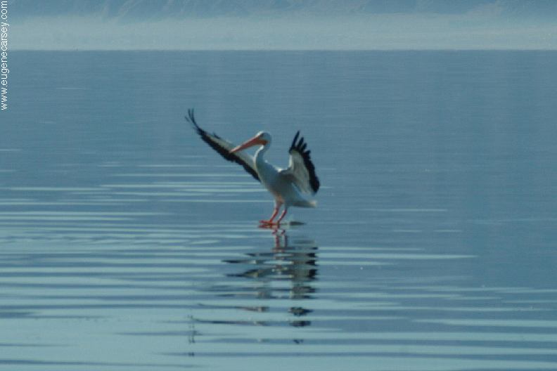
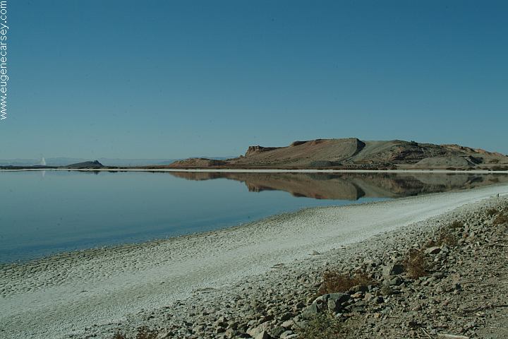
Salton Sea was created in 1905 - 1906
SALTON SEA
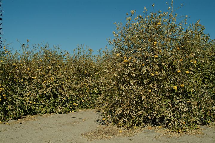
Also see: BETTY'S KITCHEN Showers at Ocotillo Wells SVRA Best spring water at BAY TREE SPRING Least priced gas in Arizona.
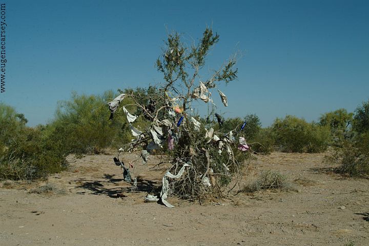
Tree covered with old laundry.
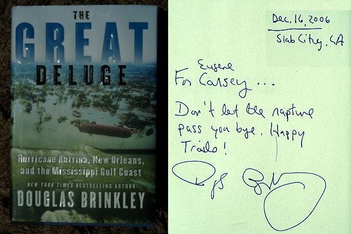
Camped here Dec..16, 2006
CAMPGROUND INDEX
dispersedcampgrounds.com |