|
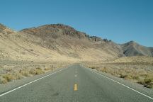
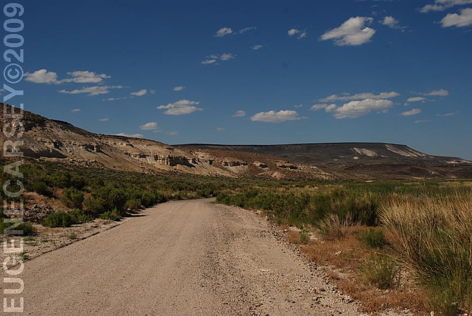
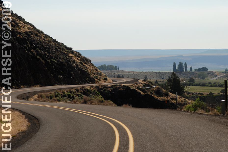
Hwy. 140 towards Denio Junction
DIRECTIONS:
From Winnemucca, NV
Take Hwy.95 north for 31 miles
At Denio Junction take Hwy.140
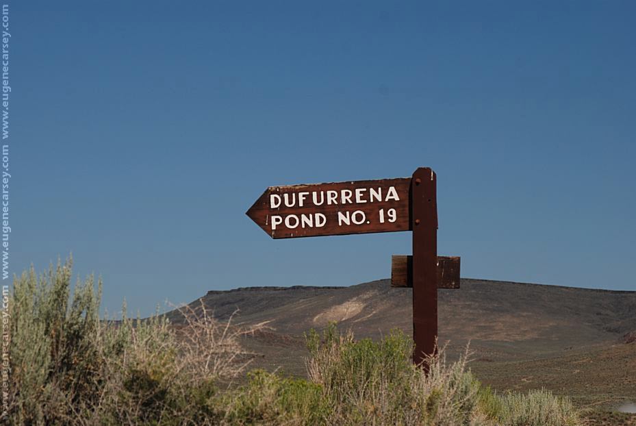
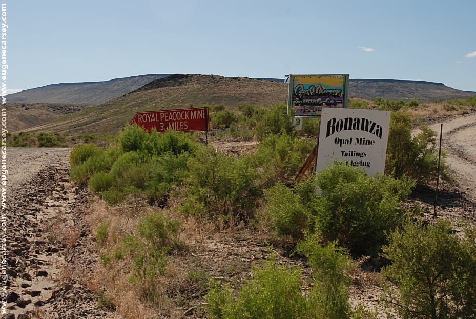
In xx miles turn right at the sign
Virgin Valley Campground is xx miles
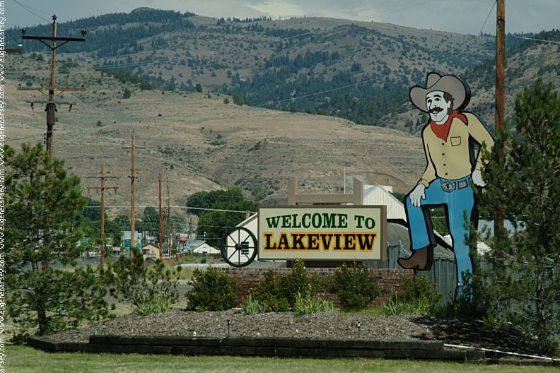
From Lakeview, OR
Take Hwy.140 south
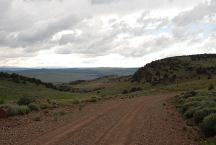
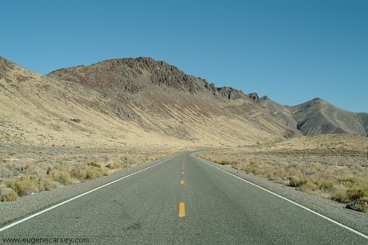
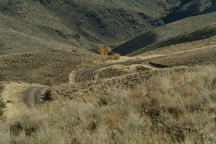
Road 34A towards Cederville, CA
The roads are unmarked and it is easy
to go the wrong direction... make sure
you have enough fuel for your vehicle.
(We have a detailed map and still confused)
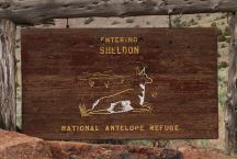
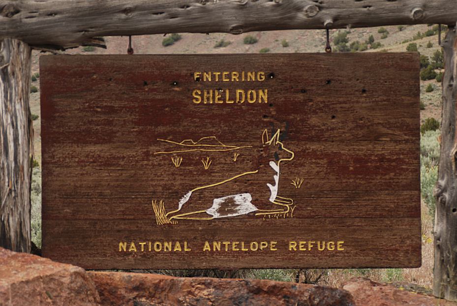
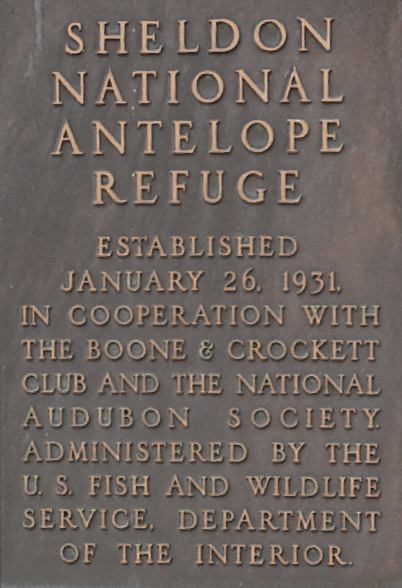
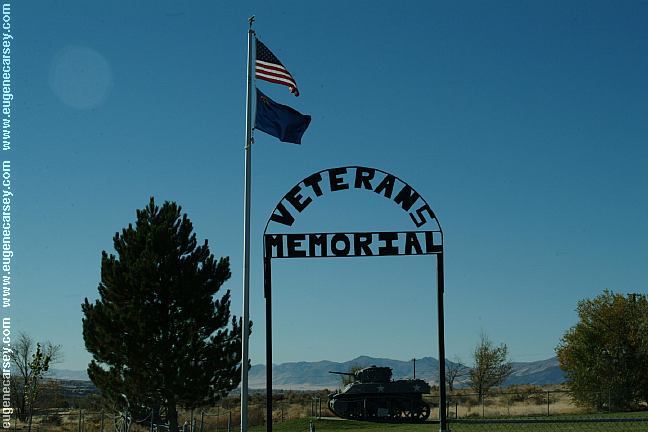
Sheldon National Antelope Refuge
Sign at Road 34A west entrance
From Cederville, CA
Take Hwy.299 east...
Most roads are unmarked from this direction
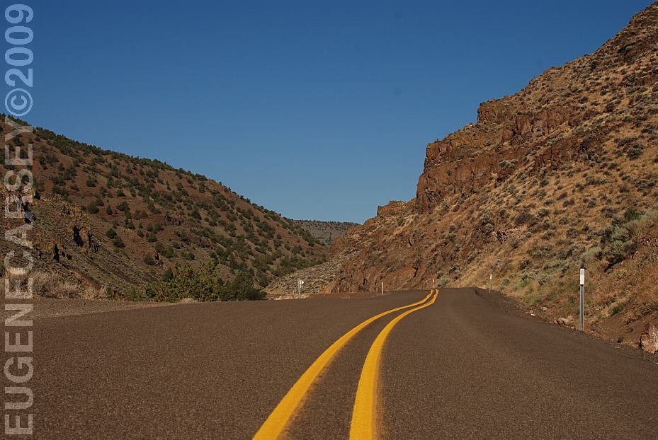
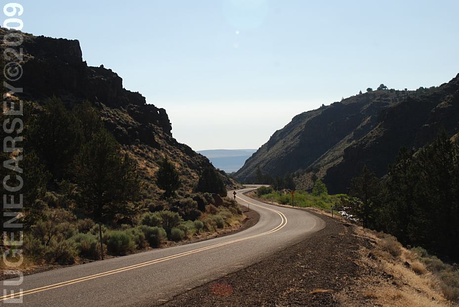
Mountain grades and curves...
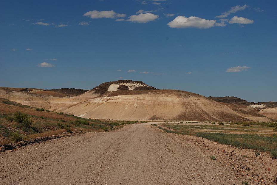
ROAD CONDITIONS:
Maintained dirt road
RVs use your own discretion.
There are very limited services, so fill-up
your gas tanks, because' it could be a long
distance before the next stop.
Cheapest gas in Winnemucca, NV
Gas at Denio Junction was over a
dollar extra per gallon.
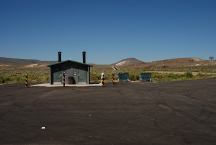
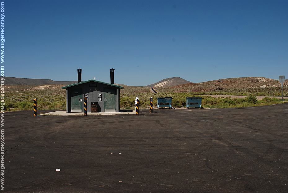
Rest Area on Hwy.140 west from Virgin Valley
LATITUDE: N 41°52.622
LONGITUDE: W 119°02.543
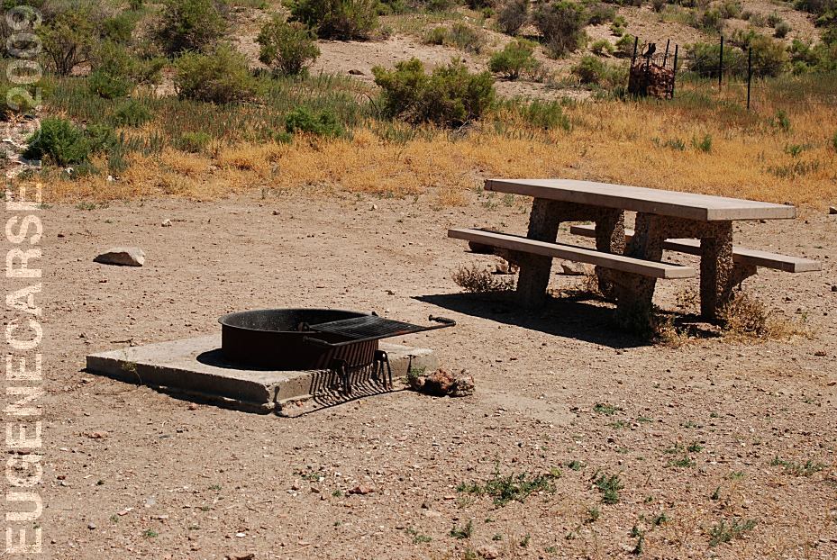
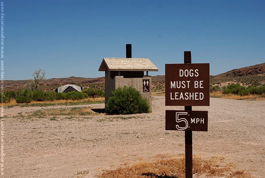
Vaulted Toilets, Picnic Tables, Garbage,
and Shade Ramadas.
MILEAGE CHART
From Hwy.140 at Big Spring Reservoir Junction
|
Lakeview, OR
Cederville, CA
Denio Junction, NV
Winnemucca, NV
|
95 miles
72
36
130
|

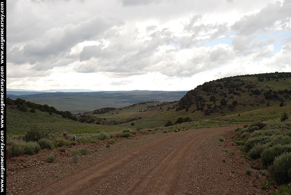
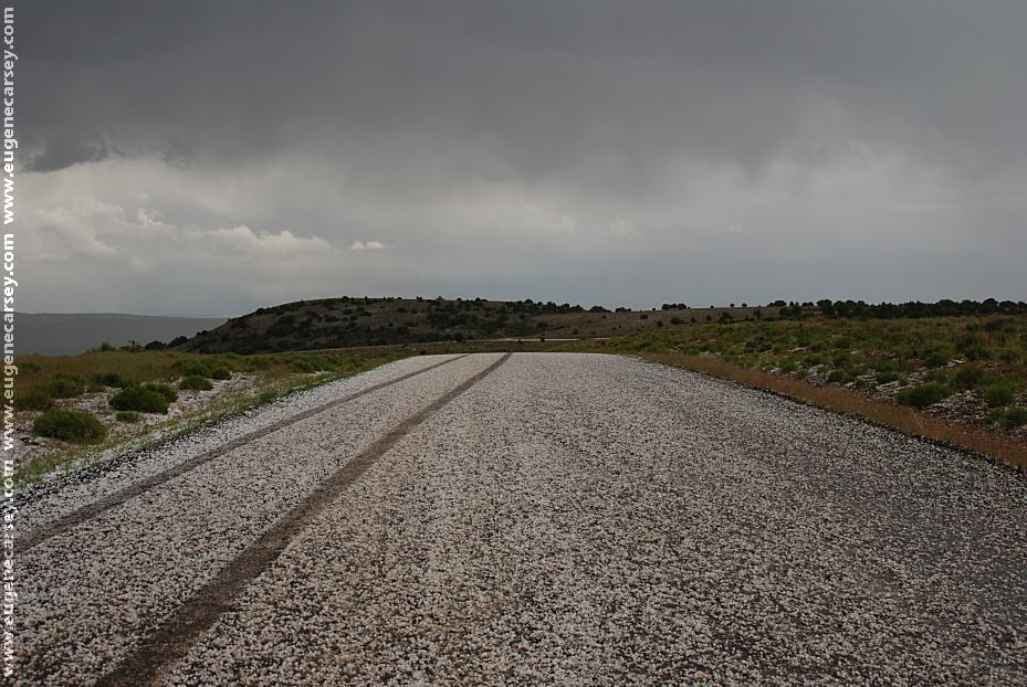
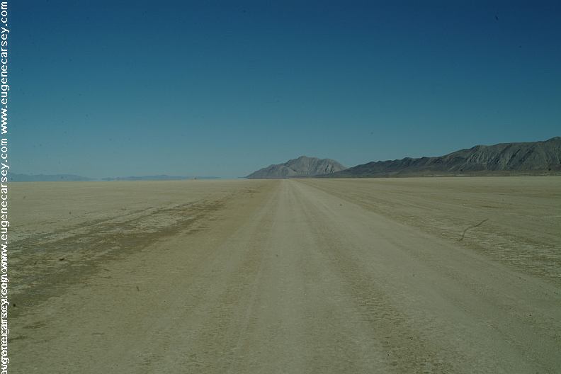
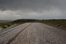
Hail storm on road towards Cederville
We parked for about a hour until it melted.
The roads were muddy and had to use caution.
June 19, 2009
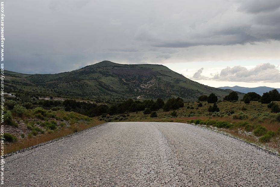
Hail storm on road towards Cederville
Looking east back towards Sheldon NWR
Those are our tire tracks, not too much other
people crazy enough to be out here.
June 19, 2009
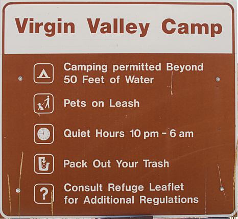
Always be prepared for bad weather and
temperatures at night can drop to freezing
year round.
Pets must be leashed except hunting dogs...
Motorized vehicles and bicycles must remain on
established roads.
Small amounts of precipitation can make roads
very muddy. During spring and winter, most refuge
roads are impassable due to snow or wet conditions.
Avoid driving on muddy roads for your safety and
the protection of fragile resources.
ROCK HOUNDING:
Limited to rocks on the surface only.
Up to seven pounds may be collected
per day for personal use only.
PHOTO HERE
Petroglyphs at Rock Spring Table
PHOTO HERE
Petroglyphs at Rock Spring Table
ARTIFACTS:
Collecting, possessing or damaging arrowheads,
petroglyphs or any form of artifact is strictly
prohibited.
WEAPONS:
Weapons possessed for purposes other than
in-season hunting must be unloaded and dismantled
or cased. Discharged of firearms for target practice
is not allowed.
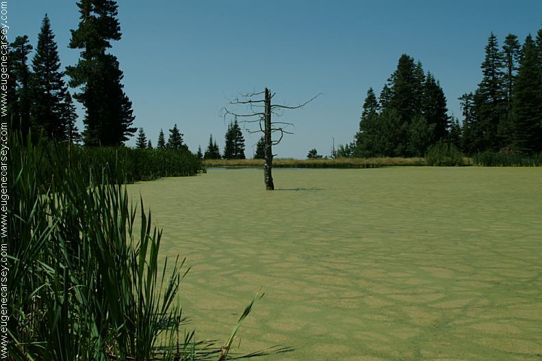
BOATS:
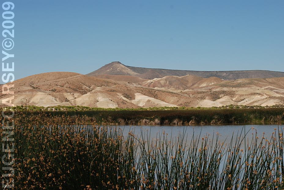
Boats may be used on Big Spring Reservoir,
Catnip Reservoir and Dufurrena Ponds. Only
canoes or boats with electric motors are allowed.
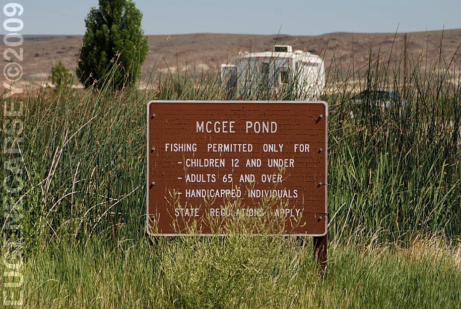
FISHING:
All fishing is regulated by Nevada State law and a
fishing license is required. Check current regulations
for seasons, limits and other guidelines.
HUNTING:
Hunting is permitted in accordance with state
and federal regulations.
EMERGENCIES:
Emergency services and roadside assistance are
not readily available on the refuge. Cellular phone
coverage is extremely limited. Refuge staff are not
able to provide or sell gas, phone access, towing
or auto repair service.
PHOTO HERE
Pronghorn Antelope
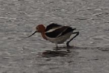
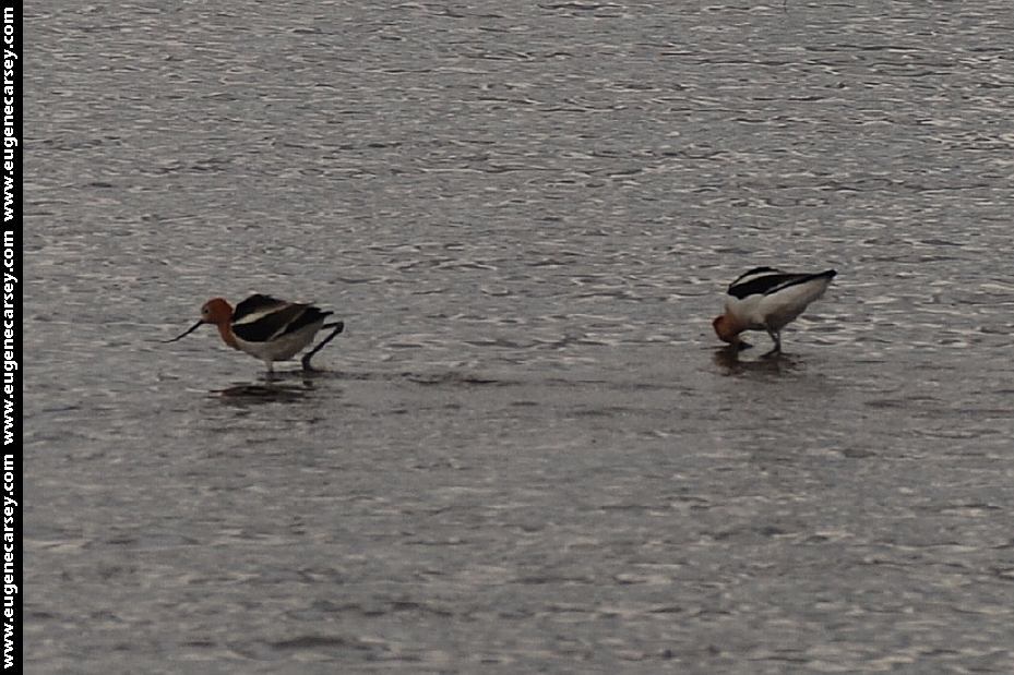
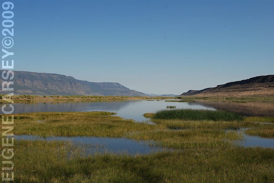
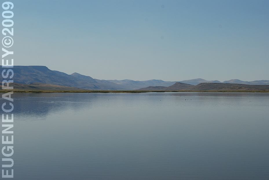
Birds at Big Spring Reservoir
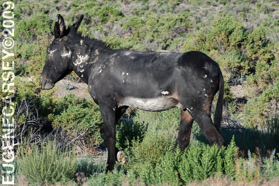
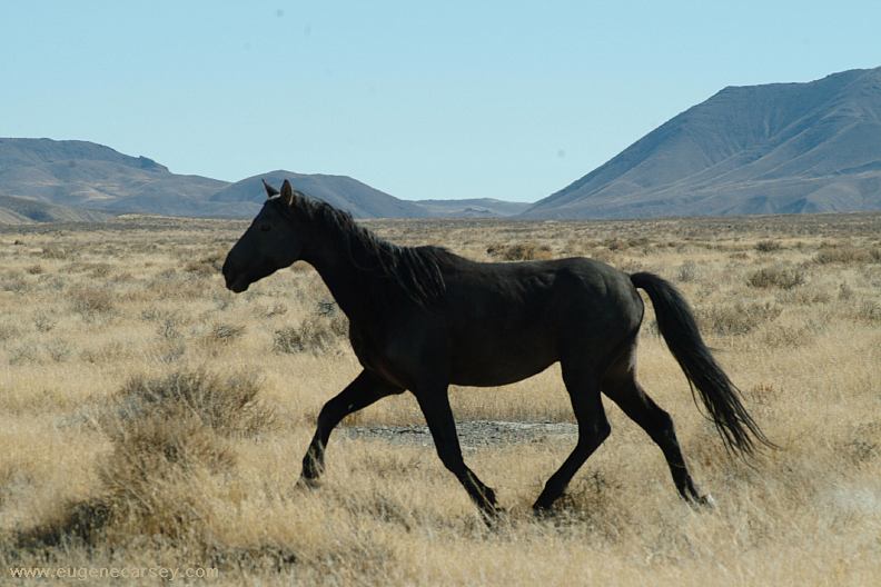
Sheldon National Wildlife Refuge is home to
large herds of pronghorn antelope, scattered
bands of bighorn sheep and a rich assortment
of other wildlife.
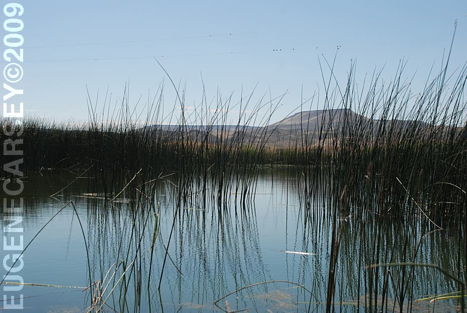
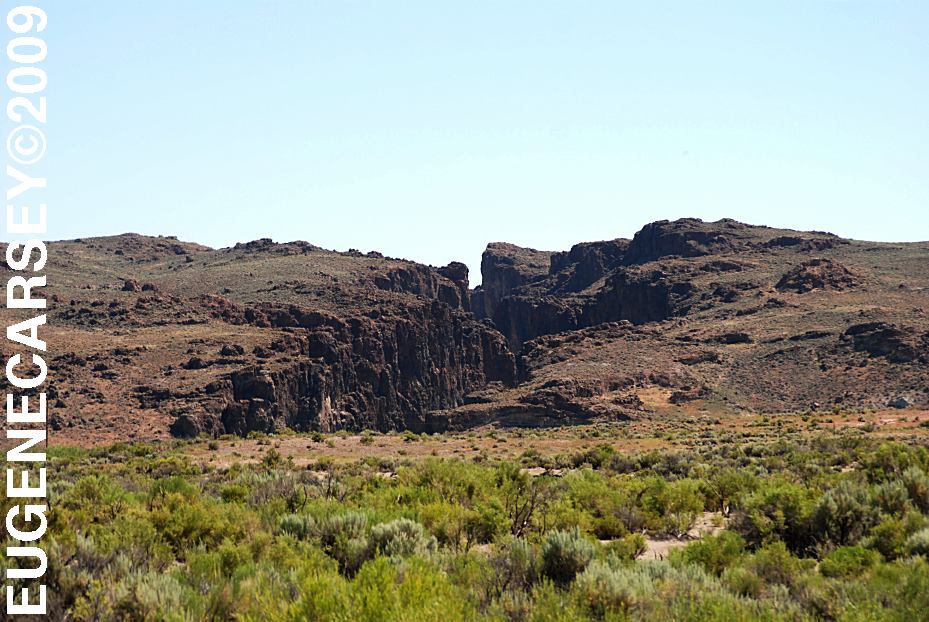
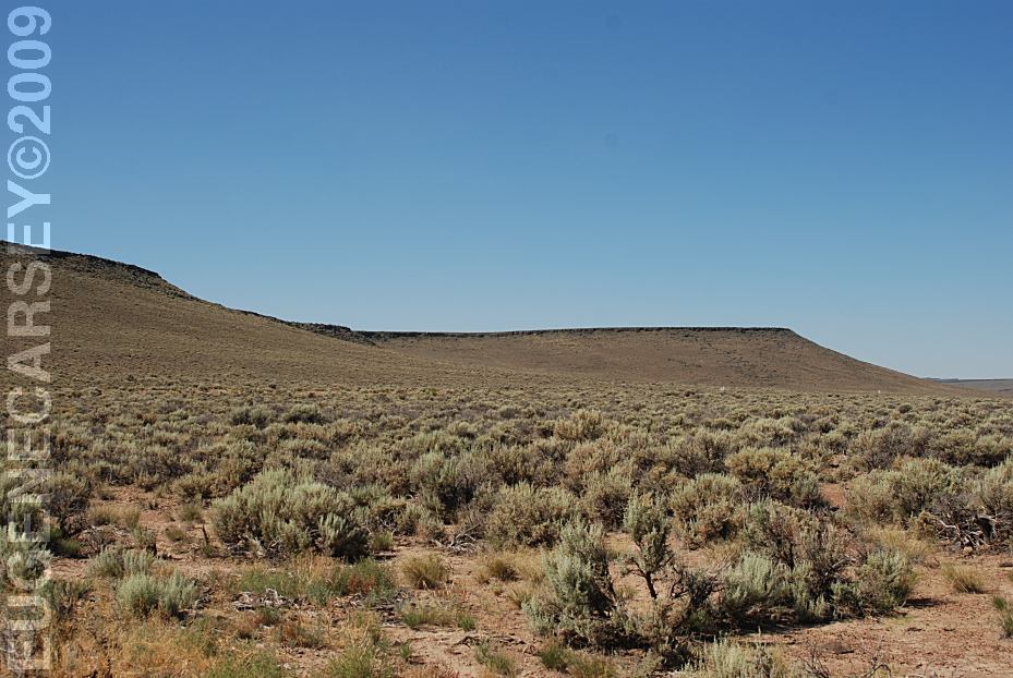
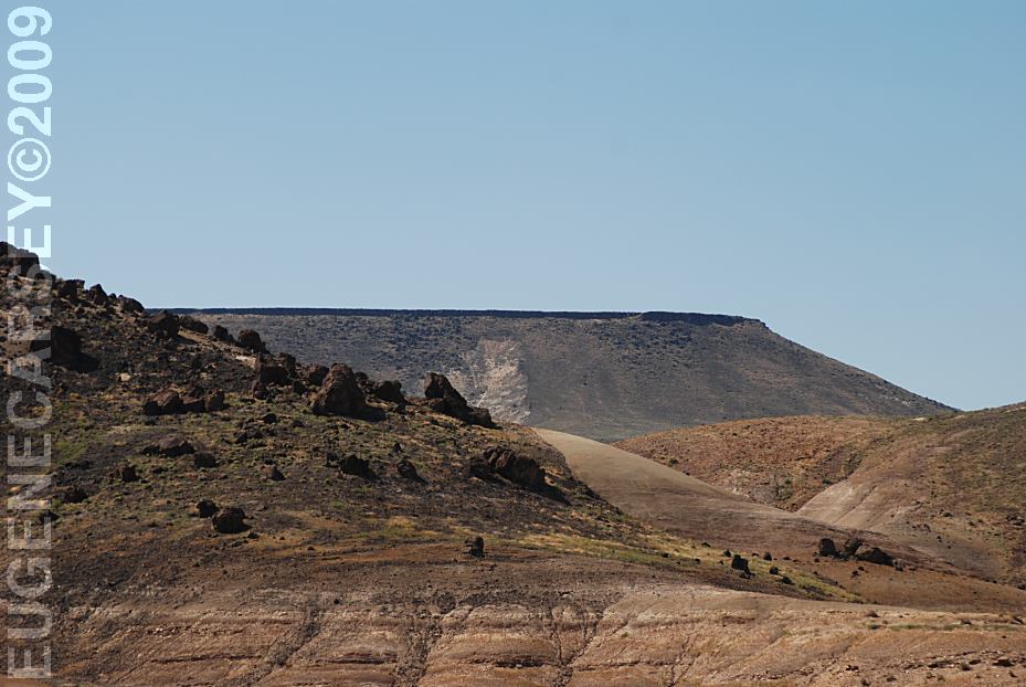
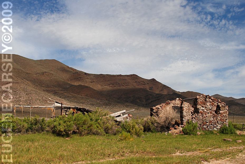
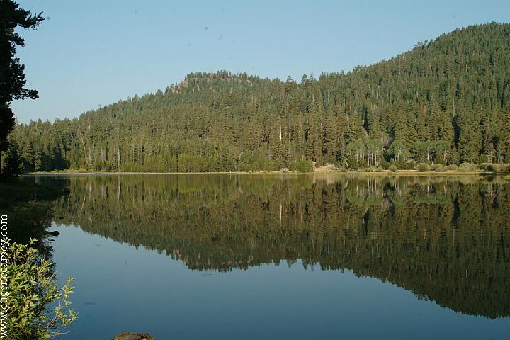
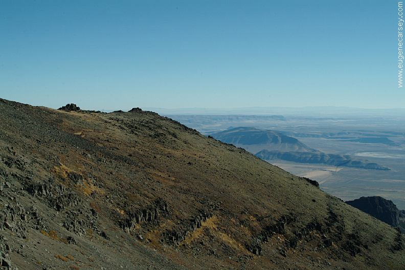
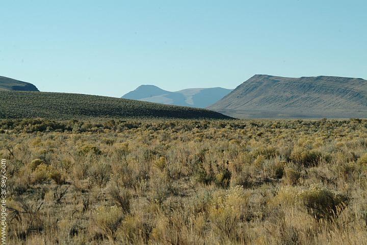
The landscape is vast, rugged and punctuated
with scenic treasures. Waterfalls, narrow gorges
and lush springs lay hidden among the rimrock
tablelands and rolling hills of sagebrush and
mountain mahogany.
This is the heart of the high desert.
Elevations
on the refuge range from 4,100 to 7,200 feet,
while annual precipitation rarely amounts to
more than 12 inches. It is a harsh environment
where a wide variety of wildlife manages to thrive.
Sheldon National Wildlife Refuge
PO Box 111
Lakeview, OR 97620
541-947-3315
Sheldon NWR is one of over 530 refuges in
the National Wildlife Refuge System. Managed
by the U.S. Fish and Wildlife Service.
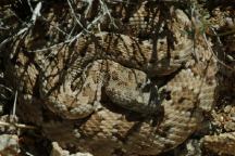
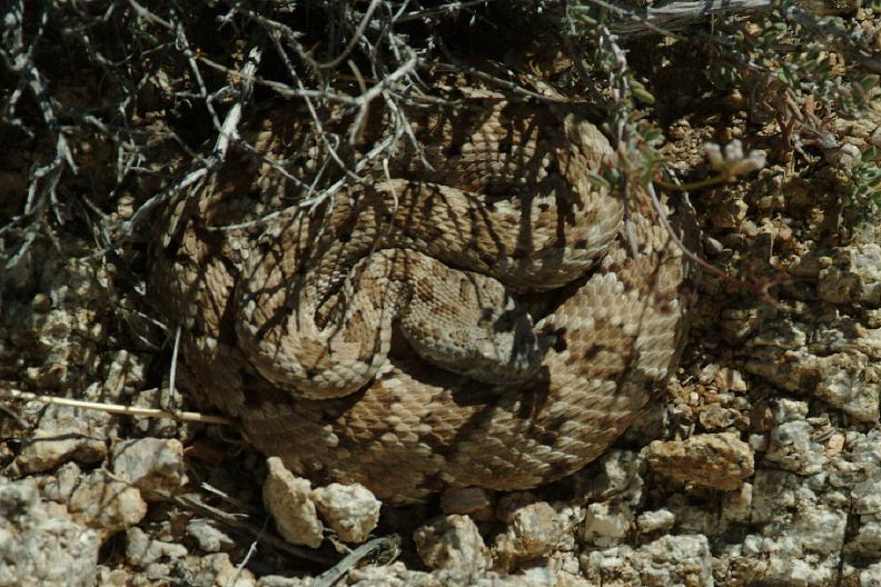
Western Rattlesnake
RATTLESNAKE
FACTS
Western Rattlesnakes are the only venomous
reptile of which visitors should be aware.
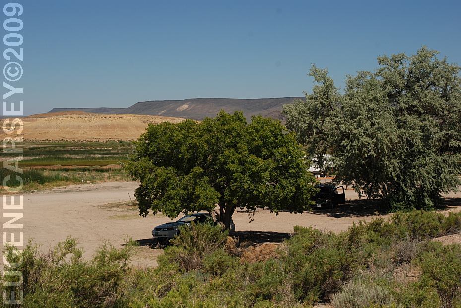
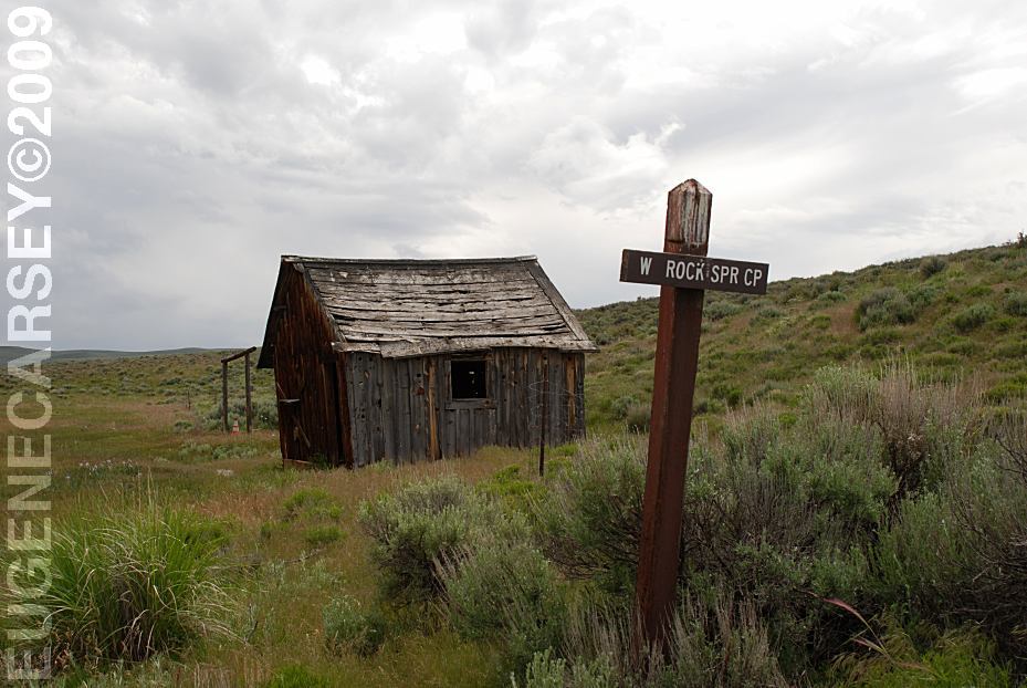
West Rock Spring Camp
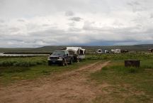
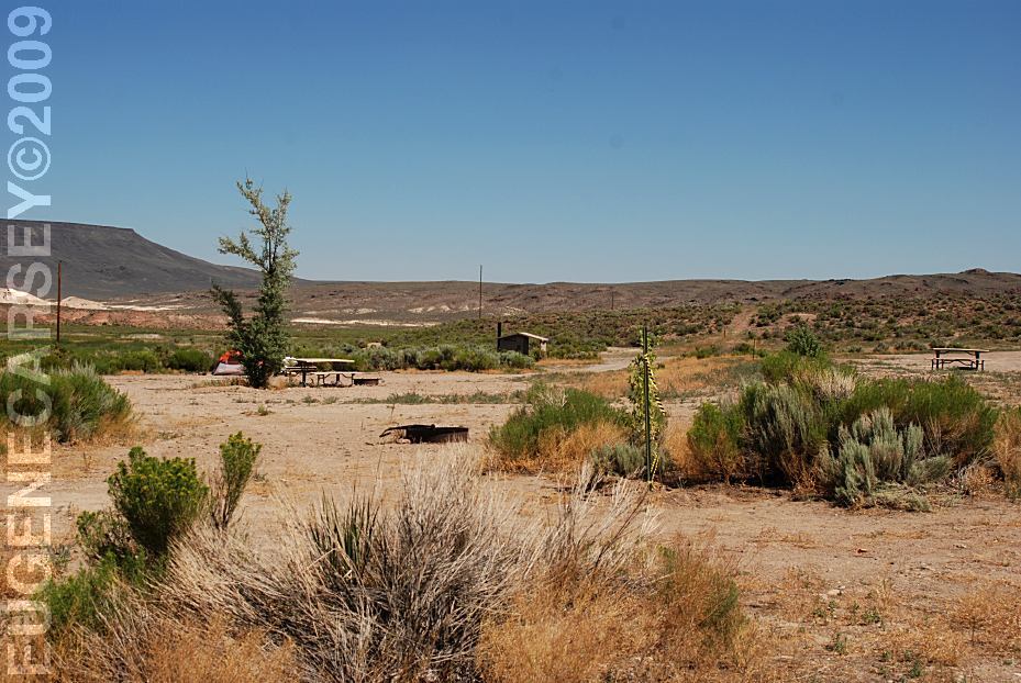
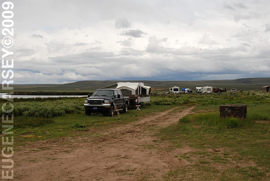
Catnip Reservoir Campground
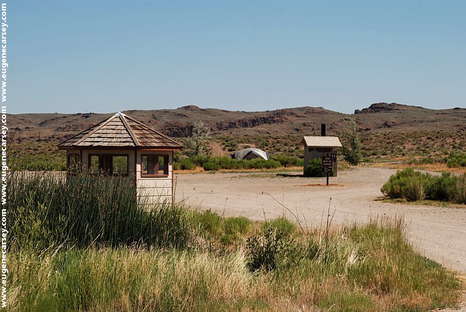
CAMPGROUNDS:
(Sheldon National Wildlife Refuge)
Badger
Bateman Spring
Big Spring
Reservoir
Catnip Reservoir
Devaney
East Rock Spring
Fish Spring
Gooch Spring
Little Catnip Spring
North Hell Creek
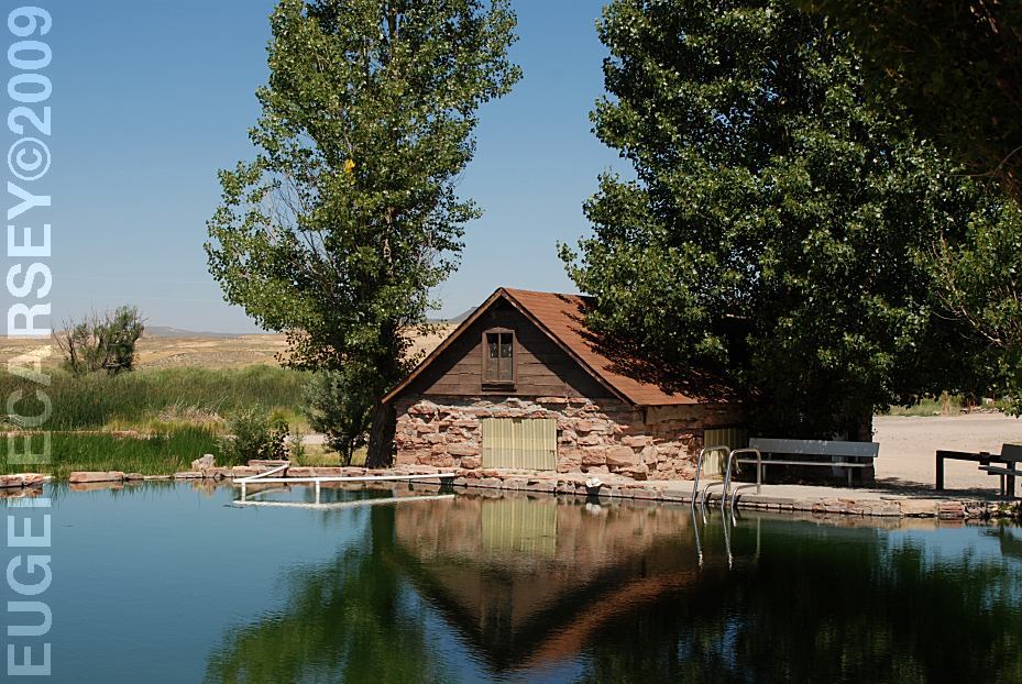
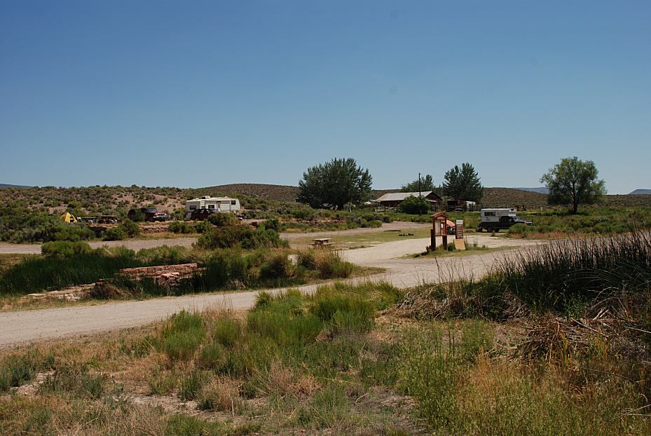
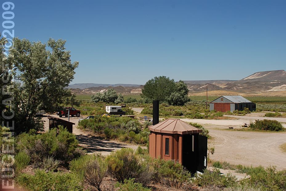
Virgin Valley
West Rock
Spring
Wheeler Spring
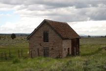
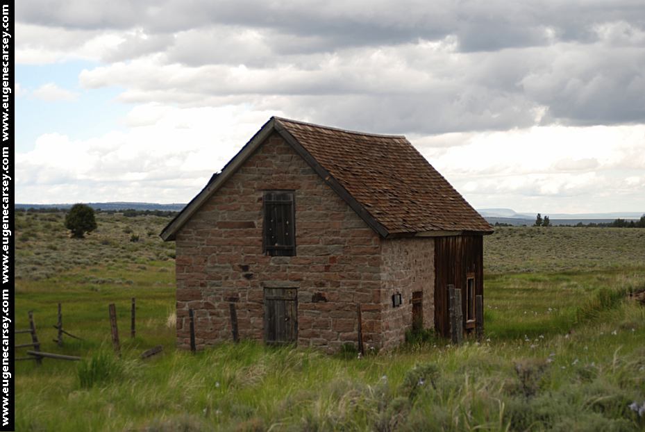
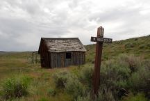
Last Chance Ranch
Sheldon National Wildlife Refuge
LATITUDE: N 41°51.374
LONGITUDE: W 119°35.994
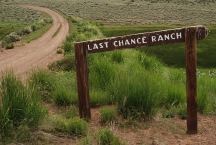
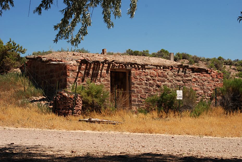
Last Chance Ranch
Road 34A
Sheldon National Wildlife Refuge
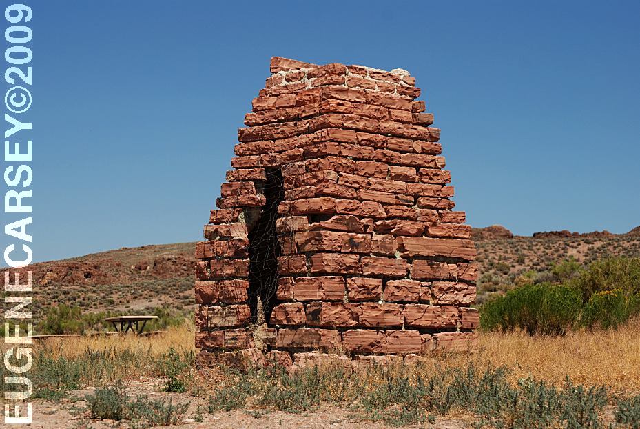
HISTORICAL SITES:
(Sheldon National Wildlife Refuge)
Andy's Place
IXL Ranch
Kinney Camp
Last Chance Ranch
Little Sheldon
Virgin Valley Ranch
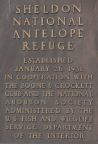
Sheldon National Antelope Refuge
|