http://www.dispersedcampgrounds.comhttp://www.eugenecarsey.com

Free campgrounds and camping
OREGON CAMPGROUND DIRECTORY
DOG LAKE BLM RECREATION AREA
LATITUDE: N 42°05.047
LONGITUDE: W 120°42.278
(GPS from Dog Lake Boat Ramp)
Dispersed and Primitive Camping

Dog Lake
Dog Lake

Dog Lake
Dog Lake

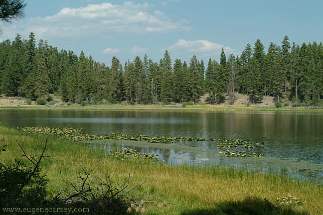
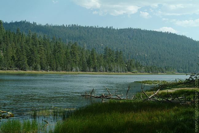
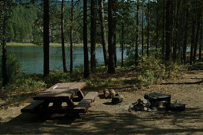
Dog Lake Campground isn't the greatest, but
it is free. There are several roads that lead to
camp areas and a boat ramp.

Dog Lake
Dog Lake Campground

Picnic tables, metal firerings.
Vaulted toilet at Dog Lake Boat Ramp
14 Day Camping Limit

PHOTO HERE
Dog Lake Boat Ramp

PHOTO HERE
Shade Ramadas and Shelter.
Big enough to park a large RV

One road has 2 covered shelters you can park
under to avoid elements. Seemed kind of strange...
a large RV could park here.

DREWS CREEK CAMPGROUND
A couple miles towards Lakeview...
Drinking water at Drew Creek campground.

COTTONWOOD MEADOW LAKE
From Hwy.140 go a couple miles east.
Very nice campground and recreation area.

MORE ESTABLISHED CAMPGROUNDS
FREMONT-WINEMA NATIONAL FORESTS
BLY RANGER DISTRICT
Corral Creek Forest Camp
Holbrook Reservoir Forest Camp
Lofton Reservoir Campground
LAKEVIEW RANGER DISTRICT
Cottonwood Meadows Lake
Deep Creek Forest Camp
Dismal Creek Forest Camp
Drews Creek Campground
Mud Creek Forest Camp
Overton Reservoir
Vee Lake Camp
Willow Creek Forest Camp
PAISLEY RANGER DISTRICT
Campbell Lake Campground
Chewaucan Crossing Campground
Clear Springs Forest Camp
Dairy Point Forest Camp
Deadhorse Creek Forest Camp
Deadhorse Lake Campground
Happy Camp Campground
Jones Crossing Forest Camp
Lee Thomas Campground
Marsters Spring Campground
Pike's Crossing Forest Camp
Rock Creek Forest Camp
Sandhill Crossing Campground
Upper Jones Forest Camp
SILVER LAKE RANGER DISTRICT
Alder Springs
East Bay Campground
Silver Creek Marsh Campground
Thompson Campground

BLM RECREATION SITES
Dog Lake Campground
Gerber BLM Recreation Site

IT IS YOUR RESPONSIBILITY TO KNOW
WHAT FIRE RESTRICTIONS ARE IN EFFECT

DIRECTIONS:
From Lakeview take Hwy.140 west
8 miles turn left on Tunnel Hill Road
Take Westside Road to Dog Lake Lane
Go past Drews Creek Campground
It is couple more miles to Dog Lake
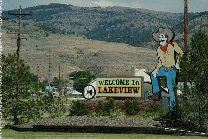
Welcome to Lakeview
Welcome to Lakeview

Wireless Internet in Lakeview.
Downtown at the Chamber of Commerce

Road 73 towards Goose Lake
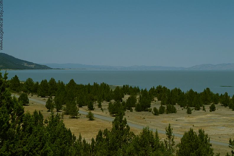
Road#73 towards Goose Lake

Also see: ALDER SPRINGS
Also see:
COTTONWOOD MEADOW LAKE
Also see:
DOG LAKE CAMPGROUND
Also see:
HEAD OF THE RIVER C.G.
Also see:
PAISLEY / ROAD#33
Also see:
SHELDON NWR / BIG SPRING
Also see:
SHELDON NWR / CATNIP
Also see:
SHELDON NWR / FISH SPRING
Also see:
SHELDON NWR / VIRGIN VALLEY
Also see:
SHELDON NWR / WEST ROCK SPRING
Also see:
THOMPSON RESERVOIR

Google Custom Map Free Oregon Campgrounds
Google Custom Map by Ian

OREGON FREE CAMPGROUND MAP
Google custom map by Ian with most of the
free campgrounds in Oregon
.

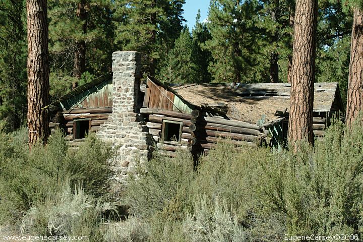
Old cabin north from Sprague River
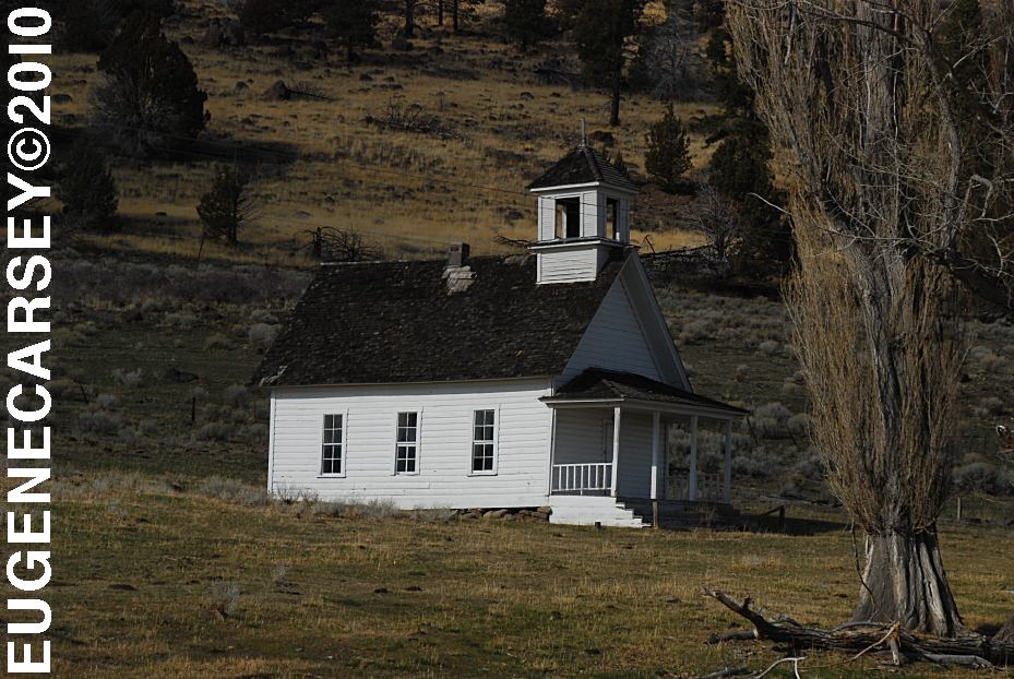
Harris Schoolhouse
Harris Schoolhouse
South from Summer Lake, OR
Highway 31 near MP 74

Big Horn Painting
Big Horn Painting at Scenic Byway Kiosk
Highway 31 near MP 70
Across from Summer Lake Store

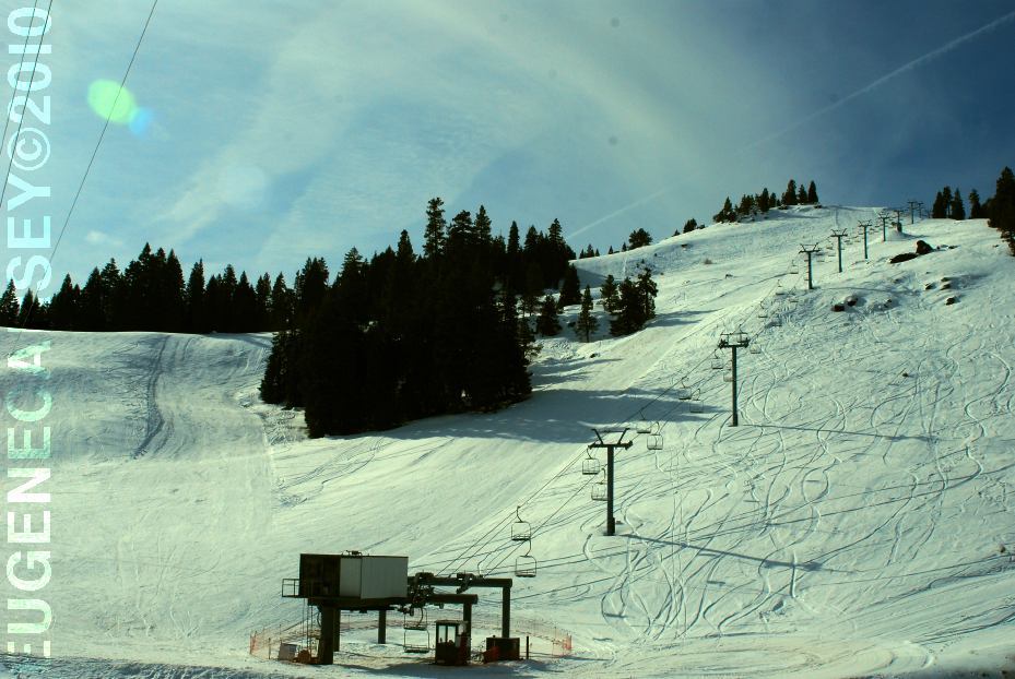
Warner Canyon Ski Area
LATITUDE: N 42°14.284
LONGITUDE: W 120°17.790
GPS from entrance gate
Highway 140 near MP 4
10 miles from Lakeview, OR

SHELDON NATIONAL WILDLIFE REFUGE
Located in Nevada on Highway 140
South from Lakeview, OR
Badger
Bateman Spring
Big Spring Reservoir
Catnip Reservoir
Devaney
East Rock Spring
Fish Spring
Gooch Spring
Little Catnip Spring
North Hell Creek
Virgin Valley
West Rock Spring
Wheeler Spring

CAMPGROUND INDEX
Complete free campground listing

CAMPING ADVICE AND TIPS

TOURIST PHOTOS

Copyright Notice
www.eugenecarsey.com

Camped here May 15, 2008

dispersedcampgrounds.com
Free campgrounds and camping
OREGON CAMPGROUND DIRECTORY
DOG LAKE BLM RECREATION AREA