|
|


|
Free camping and campgrounds
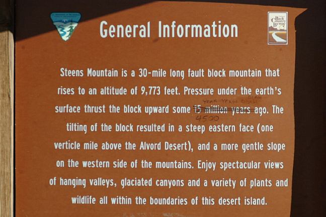
Named after Major Enoch Steen who was |
|
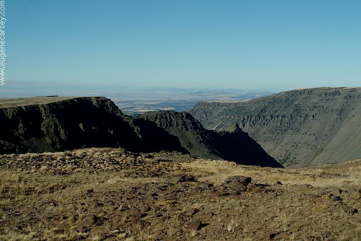
Designated as the Steens Mountain Recreation
|
|
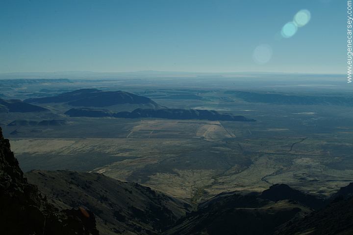
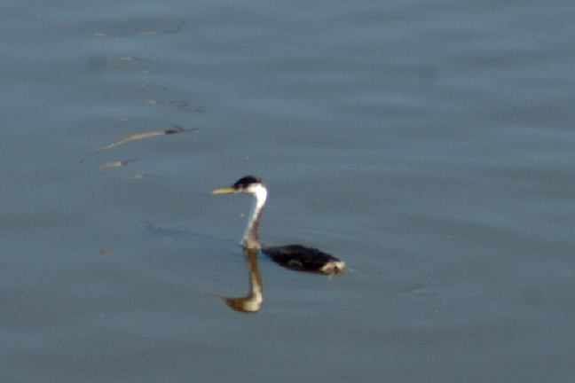
Golden Eagles flying overhead...
|
|
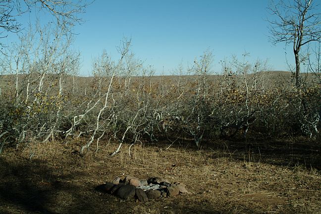
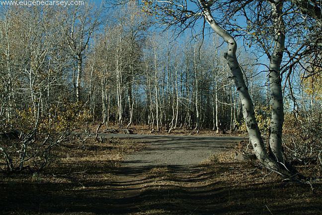
The established campgrounds and
Protect Desert Vegetation
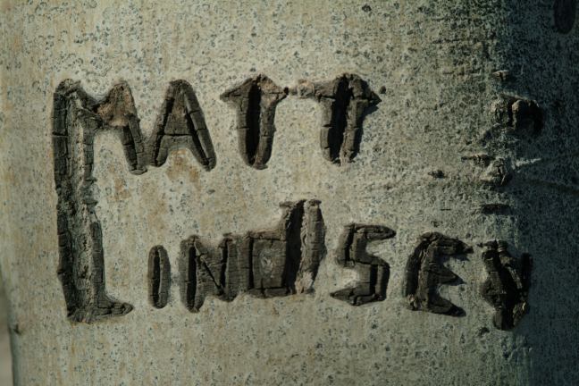
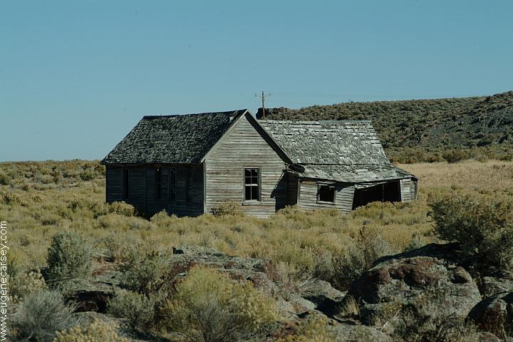
Signatures are carved into most of the
Feb. 2010 |
|
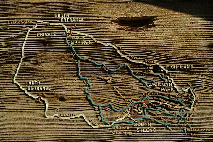
PAGE SPRINGS RECREATION SITE
FISH LAKE RECREATION SITE JACKMAN PARK RECREATION AREA SOUTH STEENS CAMPGROUND
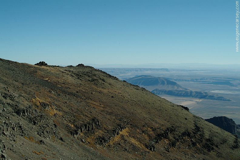
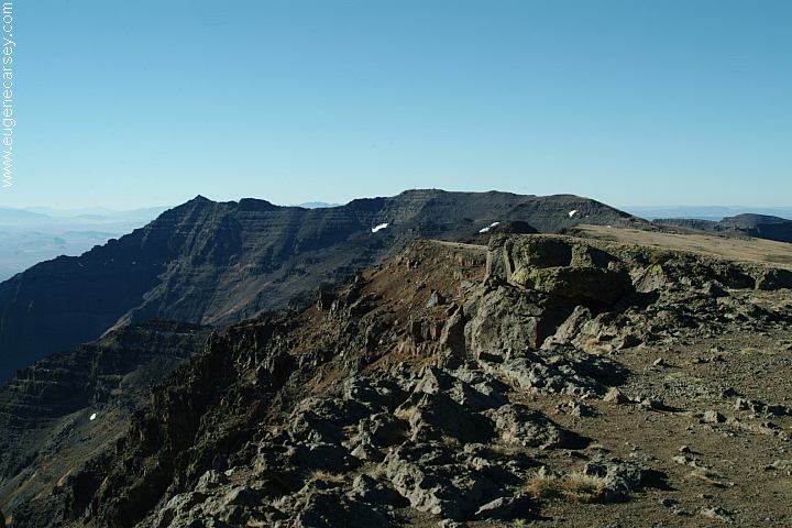
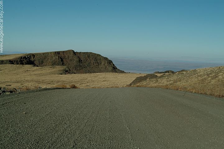
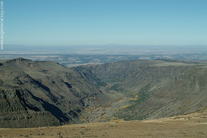
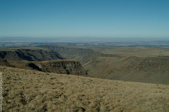
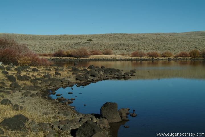
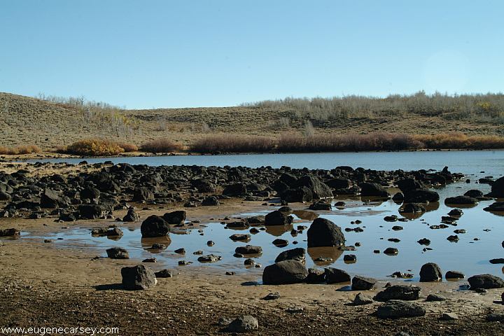
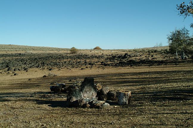
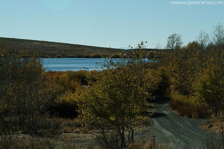
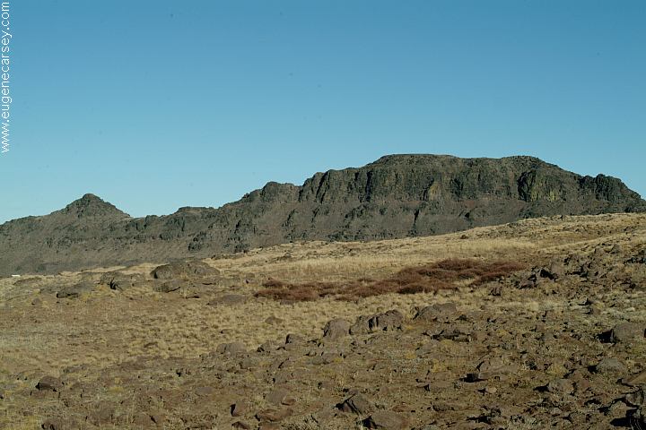
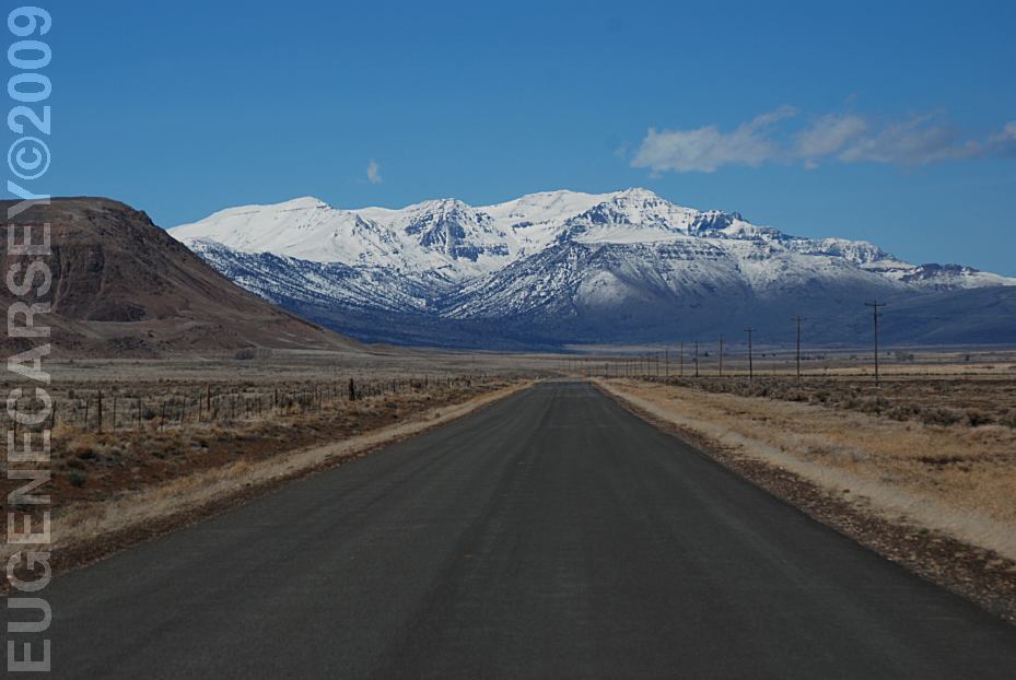
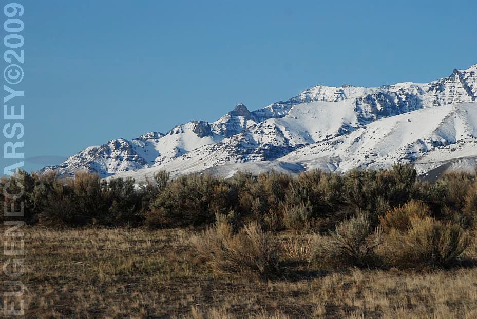
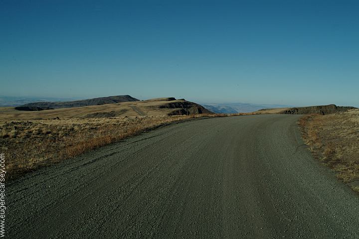
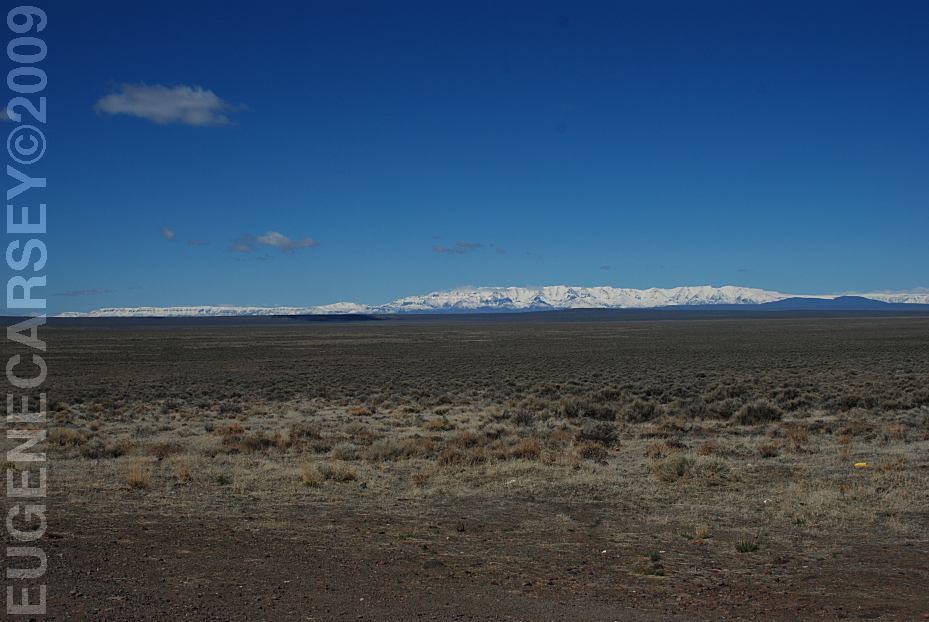
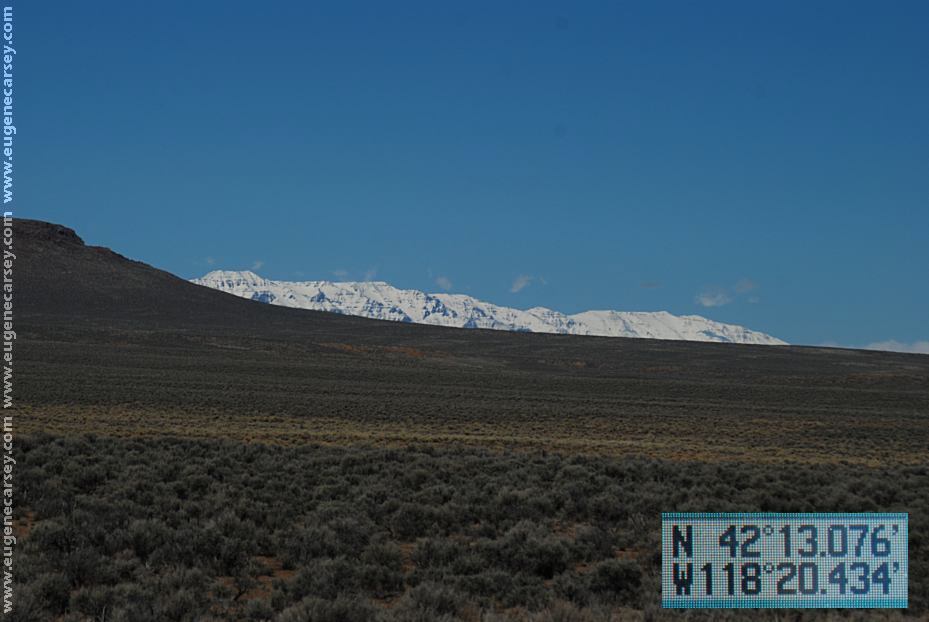
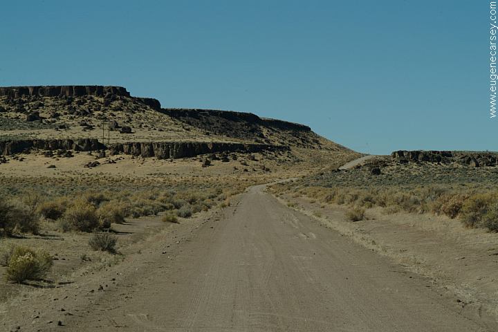
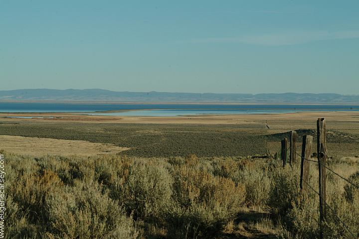
Above image is on the South Loop Road
Moderate summers and brisk, cold winters, PHOTO HERE Summer can bring spectacular and |
|
DIRECTIONS:
ROAD CONDITIONS:
MILEAGE CHART: Showers at Narrows PHOTO HERE Showers at Crystal Crane Hot Springs Showers at Steens Mountain Resort
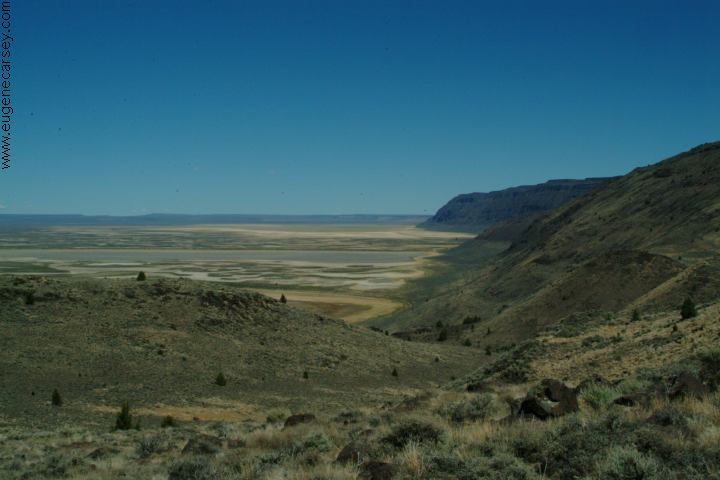
ALVORD DESERT
/
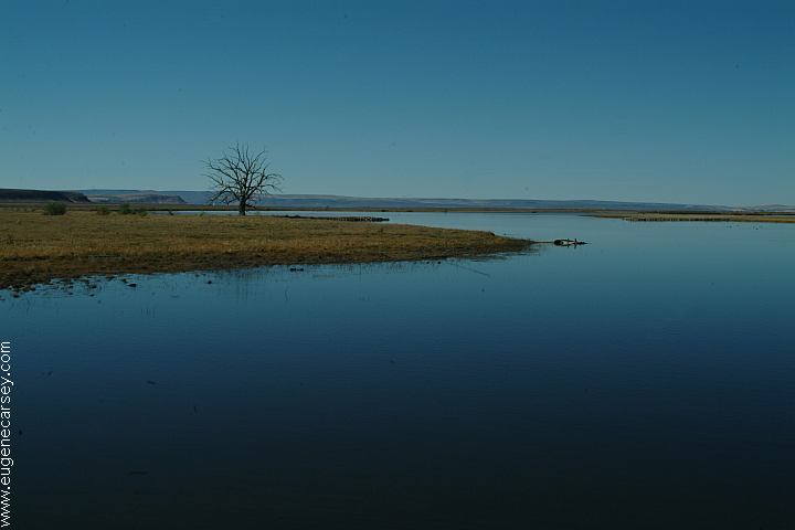
MANN LAKE PHOTO HERE RIDDLE BROTHERS RANCH
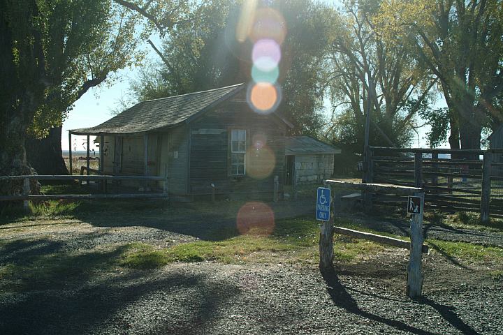
Sod House Ranch is on Sod House Road |

|
|
|
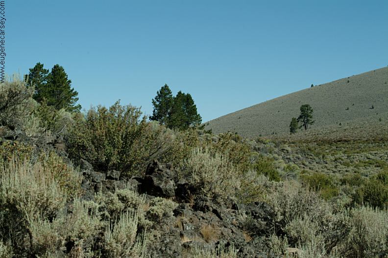
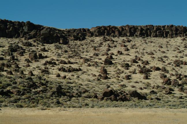
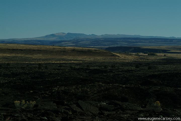
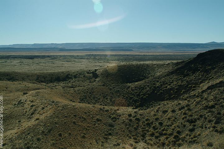
Diamond Craters Loop and National
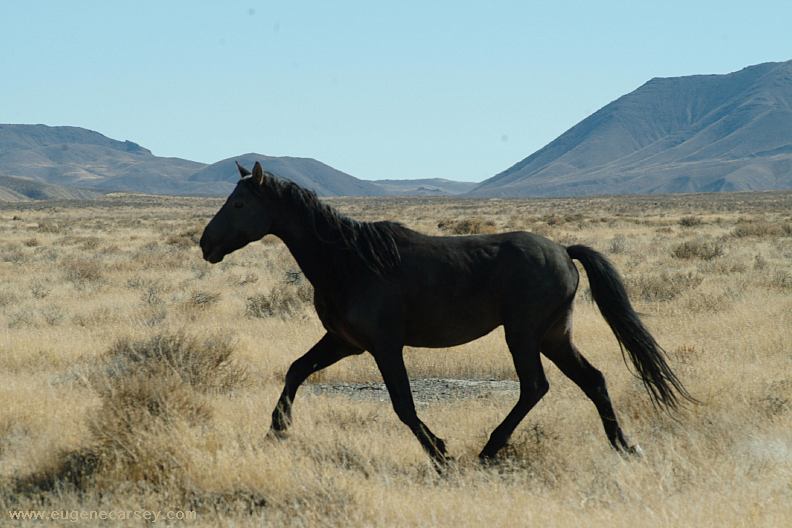
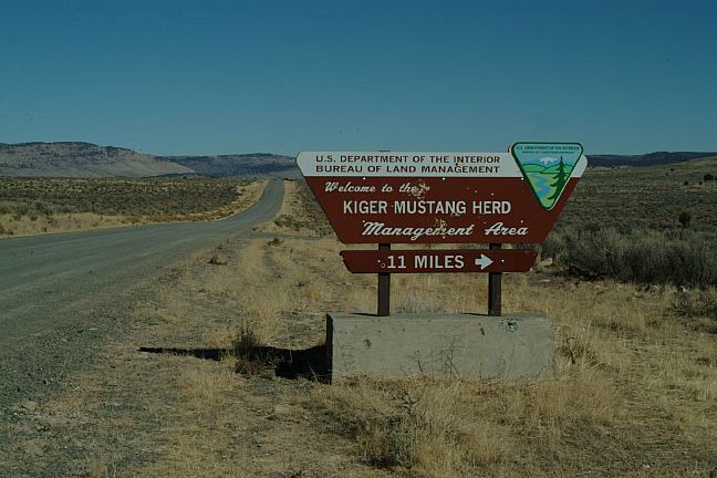
The Kiger Mustangs are thought to be
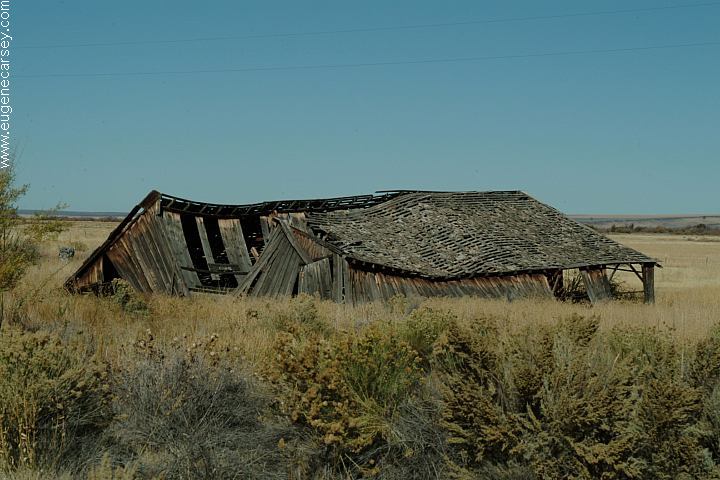
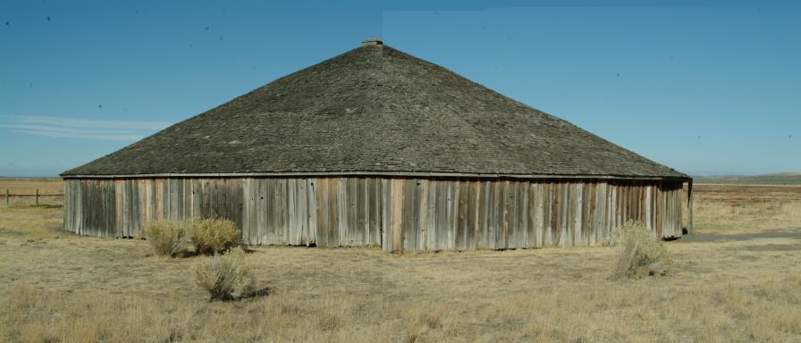
Peter French Round Barn, circa 1880s HIGHWAY 78
Bureau of Land Management |
|
Also see: BLACK ROCK DESERT
OREGON FREE CAMPGROUND MAP
EAST FORT ROCK OHV TRAIL SYSTEM:
ROBERTS
BAY RECREATION AREA
LOWER
CROOKED RIVER
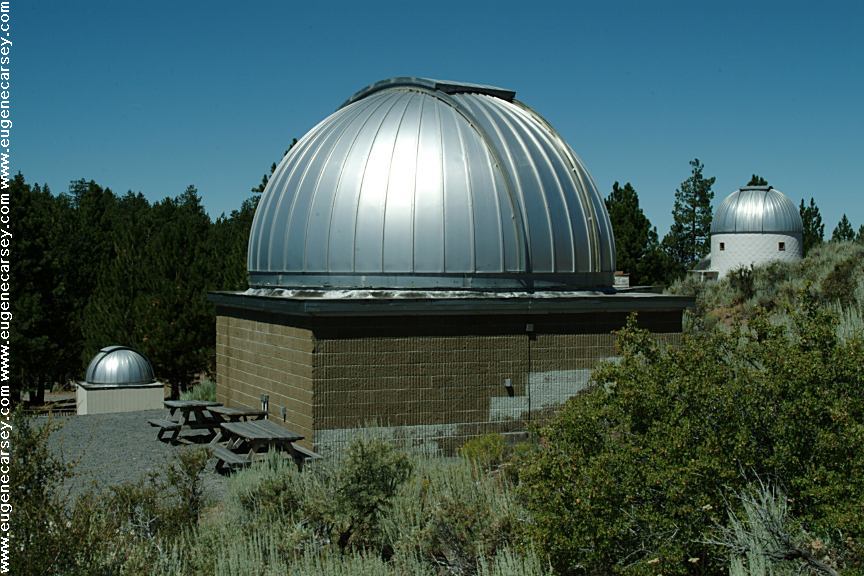
PINE MOUNTAIN OBSERVATORY
We have camped here a couple times
CAMPGROUND INDEX
dispersedcampgrounds.com |