|
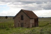
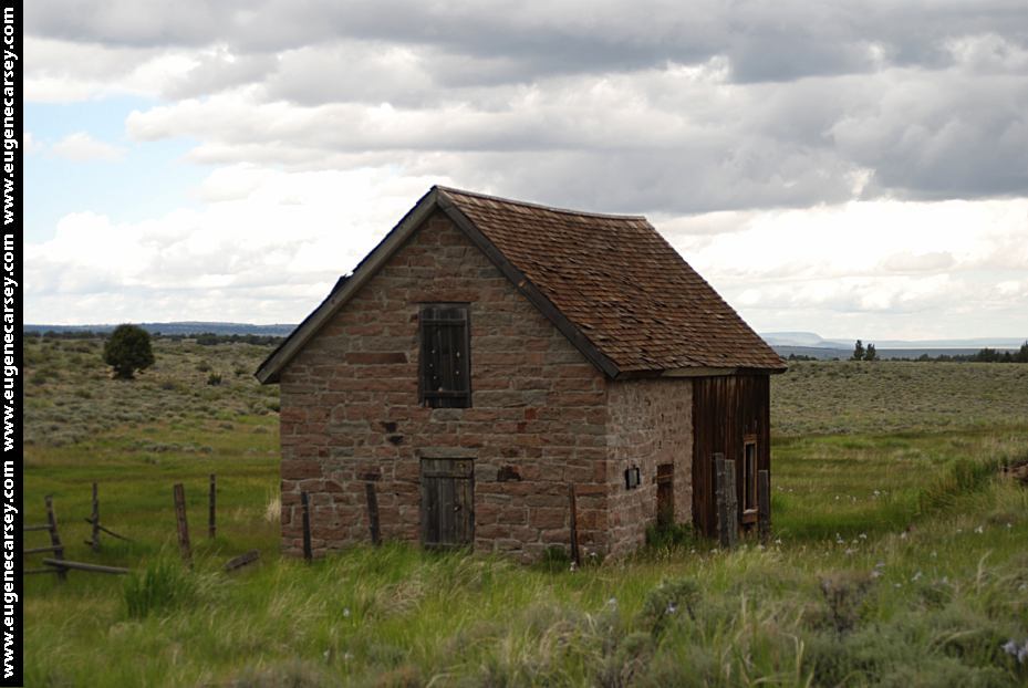
Last Chance Ranch
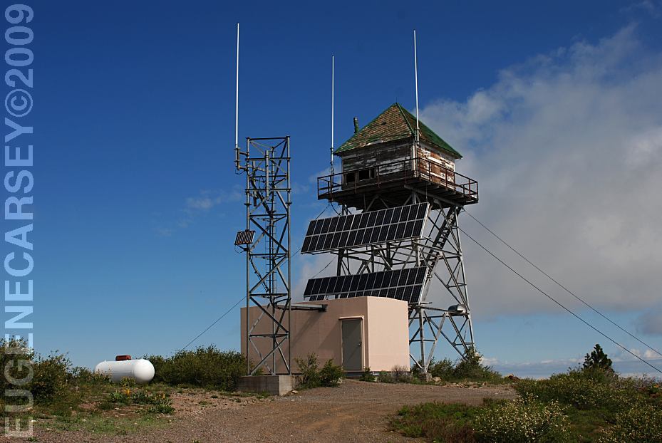
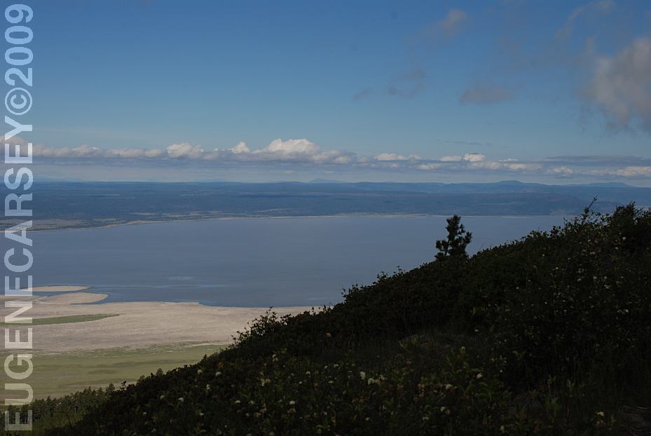
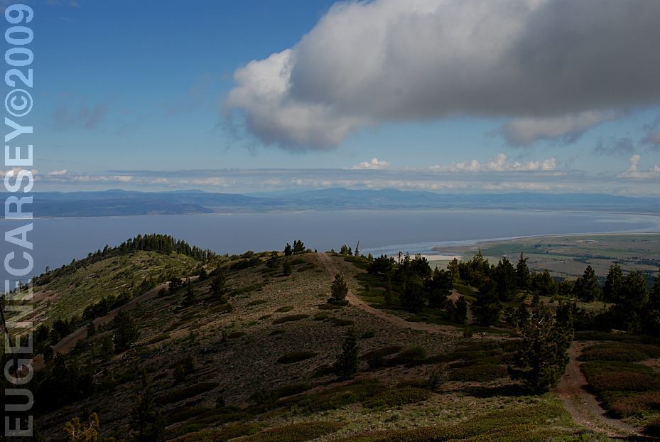
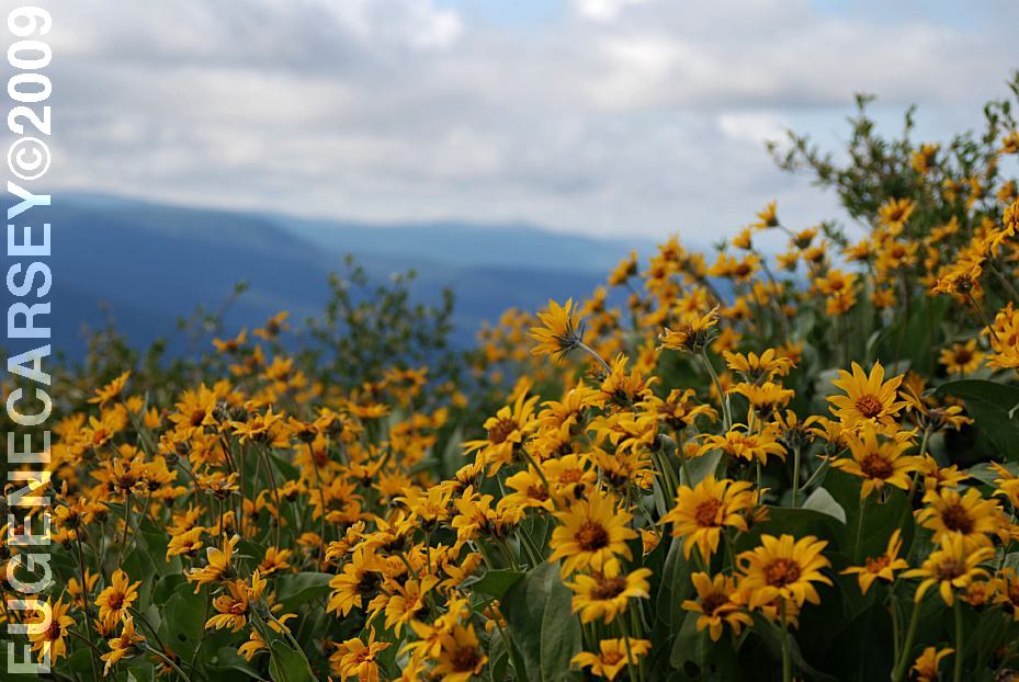
Sheldon National Wildlife Refuge
LATITUDE: N 41°51.374
LONGITUDE: W 119°35.994
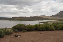
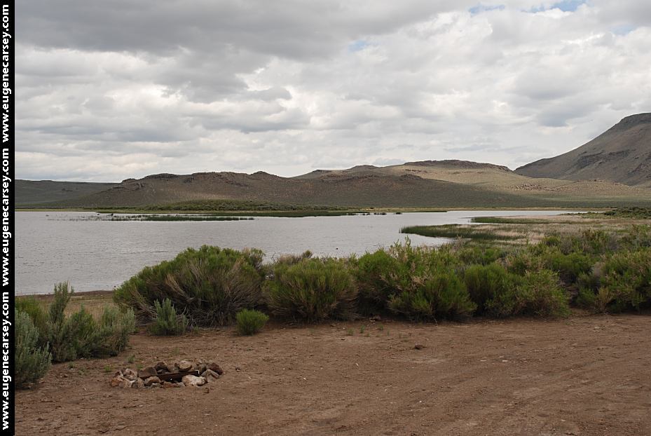
Sheldon NWR / Big Spring Reservoir
Also see: ALDER SPRINGS
Also see: BIG
SAGE RESERVOIR
Also see: COTTONWOOD
MEADOW LAKE
Also see: DOG
LAKE CAMPGROUND
Also see: DREWS
CREEK CAMPGROUND
Also see: IRON
CANYON RESERVOIR
Also see: JANES
RESERVOIR
Also see: KNOXVILLE
REC.AREA
Also see: McCLOUD
RESERVOIR
Also see: SHASTA
LAKE
Also see: SHELDON
NWR / BIG SPRING
Also see: SHELDON NWR / CATNIP
Also see: SHELDON NWR / WEST ROCK
Also see: SLAGGER CAMP
Also see: TRINITY
LAKE
Also see: THOMPSON
RESERVOIR
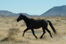
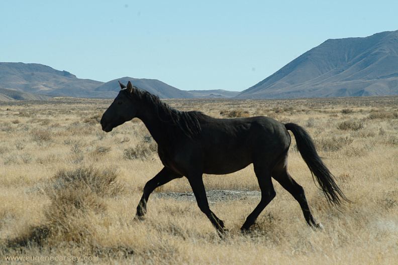
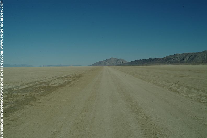
Wild Horses - Black Rock Desert
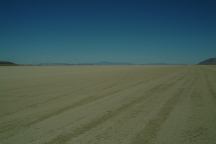
Black Rock Desert / Three Mile Playa
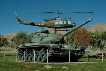
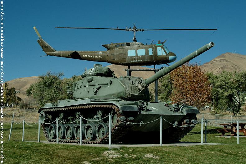
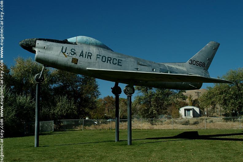
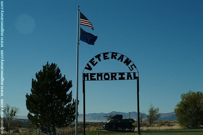
Veterans Memorial in Winnemucca, NV
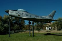
Veterans Memorial in Winnemucca, NV

Veterans Memorial in Winnemucca, NV
CAMPGROUND INDEX
Complete free campground listing
CAMPING ADVICE AND TIPS
TOURIST
PHOTOS
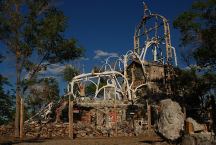
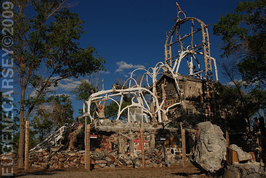
Thunder Mountain Park
LATITUDE: N 40°39.573
LONGITUDE: W 118°07.934
I-80 / Exit 145 at Inlay, NV
(About 32 miles west from Winnemucca)
Camped here June 19, 2009

www.eugenecarsey.com
dispersedcampgrounds.com
Free campgrounds and camping
CALIFORNIA CAMPGROUND DIRECTORY
MODOC NATIONAL FOREST
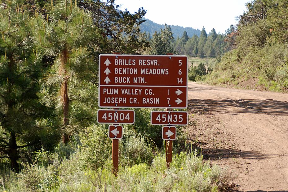
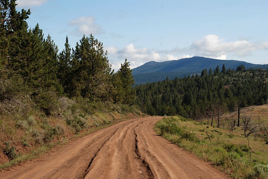
PLUM VALLEY CAMPGROUND
|